45N - 90W Geographic Marker Photos


More like 45N - 90W Geographic Marker
Recommended Reviews - 45N - 90W Geographic Marker
Start your review...

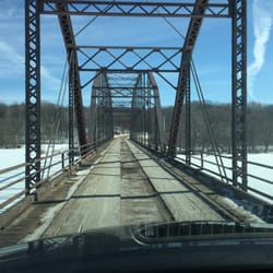
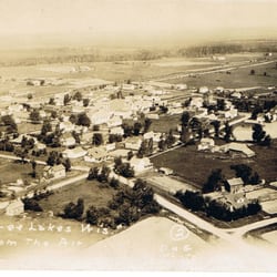
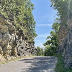
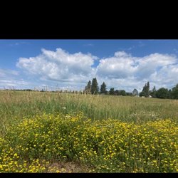
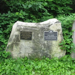
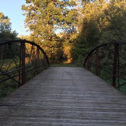
This is among the better 45th parallel markers in that it also offers the simultaneous thrill of being on a meridian of some importance as well. 90 degree west is halfway to being halfway around the globe from the traditional line running through Greenwich England - John G's petition to the USGS dates from 1969, fully four years before the arbitrary IERS line became the accepted reference, changing its official title several times before settling on WGS84 eleven years later. the park itself has undergone some renovation which added a fancy four-points mount for the original survey button, 1000 feet of gravel pathway along and through a field corn cornfield, and some benches for the less vigorous travelers. for being in the middle of every thing it sure is a long way from any thing... roughly 1000 miles from the house so I took advantage of the four day weekend for this and a half dozen side trips. read more


More info about 45N - 90W Geographic Marker


45N - 90W Geographic Marker - landmarks - Updated June 2026
Best of Rietbrock
People found 45N - 90W Geographic Marker by searching for…
Things to Do in Rietbrock, Wisconsin
Attractions in Rietbrock, Wisconsin
Places to Take Pictures in Rietbrock, Wisconsin
Public Services & Government in Rietbrock, Wisconsin
Landmarks in Rietbrock, Wisconsin
Chapel in Rietbrock, Wisconsin
Things to See in Rietbrock, Wisconsin
Places to Walk Around in Rietbrock, Wisconsin
Photo Spots in Rietbrock, Wisconsin
Tourist Attractions in Rietbrock, Wisconsin
Castles in Rietbrock, Wisconsin
Scenic Overlook in Rietbrock, Wisconsin
Night View in Rietbrock, Wisconsin
Lighthouses in Rietbrock, Wisconsin
Boardwalk in Rietbrock, Wisconsin
Plantation in Rietbrock, Wisconsin
Venues in Rietbrock, Wisconsin