Cancel

    Open app

    Search

    Mesquite Wash Trail

    5.0 (1 review)

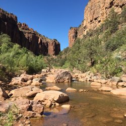
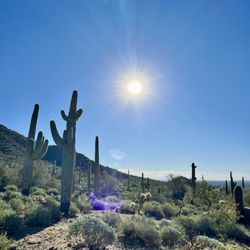
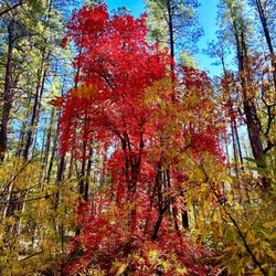
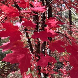
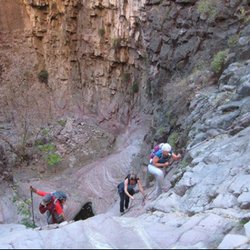
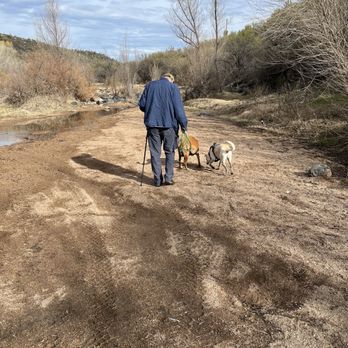
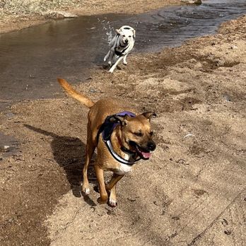
    Mesquite Wash Trail Photos
    You might also consider

    Recommended Reviews - Mesquite Wash Trail

    Your trust is our priority, so businesses can't pay to alter or remove their reviews. Learn more about reviews.
    Yelp app icon
    Browse more easily on the app
    Review Feed Illustration

    4 years ago

    Helpful 0
    Thanks 1
    Love this 0
    Oh no 0

    Verify this business for free

    Get access to customer & competitor insights.

    Verify this business

    Mount Ord - Top of Mt Ord

    Mount Ord

    5.0(2 reviews)
    13.9 mi

    This is a great trail, it's about 60 minutes from Phoenix, the elevation change at the top makes…read morethis place about 20 - 30 degrees cooler than the valley, there are about two first come first served camp spots at the top. Once you park, there's a short 20 minute hike up to some radio towers with a wonderful view of the surrounding mountains and valleys. I've never camped here myself, but I usually see someone who drove in and is tent camping or camping out of a conversion van of some type. My most recent visit corresponded to a thunder storm in the valley, which meant it was a bit rainy on the hike up the trail. It's a relatively easy hike with some consistent elevation increase on the way up, you can do this hike in a pair of sneakers and a bottle of water. As far as the drive in, nothing too treacherous here, the road is passable by anything with four wheels and a driver with a bit of gumption. Four wheel drive and a high clearance vehicle is NOT required for this drive, but it certainly does make it easier to navigate. I definitely take air out of the tires for any dirt road and this is no exception; although, if you don't carry an air compressor in your vehicle, I'd suggest you don't let air out as there really isn't anywhere close by to put air back in. You can spend 5 minutes looking at the view or a couple hours. You can bring a picnic basket, your water bottle and a granola bar, or nothing at all - whatever you feel like on this excursion. It's a fairly easy destination and if you've been outside and walked more than a mile in one go within the past 6 months, this hike will be a piece of cake for you!

    Quick escape from Phoenix! Temps drop about 20 degrees and nice gravel road will take you to the…read moretop (around 7000'). Epic camping and fires are allowed. Make sure you clean up your trash!

    Photos
    Mount Ord - Hike to the top near the antennas for this view

    Hike to the top near the antennas for this view

    Mount Ord
    Mount Ord - Beautiful view.

    See all

    Beautiful view.

    Cibecue Creek Trail

    Cibecue Creek Trail

    4.8(15 reviews)
    55.6 mi

    There are 2 extremes to this hike. You can choose to explore the lower canyon to a beautiful…read morewaterfall at the end surrounded by cliffs and call it a day for a total of 3 miles out and back OR you can hire a guide and canyoneer the upper canyon and spend around 5-7 hours while rappelling, climbing, and wading through endless pools and more waterfalls for a total of over 5 miles. On this adventure, my hiking group decided to take the easy route and enjoy the lower canyon. It kind of reminded me of West Fork hike in Sedona, because you cross the creek bed repeatedly, and you cannot help but stop and stare in awe of how beautiful the surroundings are. The hike is peaceful and you feel kid-like once more since you are forced to climb over small boulders, get knee deep or sometimes even waist deep in water, and brush past tree branches of various foliage. The life is teeming with so many different plant species present and with the Salt River connecting nearby, you just know the place is great for fishing as well. Permits are $15 per person for day hikes. Cibecue is on sacred land so remember to enjoy the hike in all its glory but be respectful and pack out everything you bring in.

    One of my favorite hikes in AZ! How can you beat stunning canyon views, creek crossings, and a…read morebeautiful waterfall at the end!? Not to mention it's in the middle of nowhere away from all civilization--a great day trip getaway to relieve yourself after a stressful workweek! A few things to note before trekking out here: -You're going to want to be driving a 4x4 or high clearance vehicle as the road from the 60 turnoff is nothing but dirt and rocks. I've seen a Prius do it but it looked painful and damaging lol. -Permits are now $30 per person and you pay with cash into a box so come prepared. I'm not a huge fan of the price hike *no pun intended* but I can see why the reservation did it reduces the crowd. -Bring sturdy water shoes or prepare to get your hiking shoes wet/muddy. I have some pretty flimsy Walmart water shoes so I opted for the latter. There are multiple creek crossings and it's not like Seven Falls or Oak Creek--there are not enough stones to hop across and you will need to walk in the water.By the end of the day, my hiking shoes were completely soaked with muddy water. They will need some deep cleaning. -Piggy-backing off the point above, if you go following a monsoon storm, expect the creek and falls to be saturated with thick mud. Grand Falls style. -PLEASE pack in what you pack out. Do not litter or leave anything behind in this beautiful place.

    Photos
    Cibecue Creek Trail
    Cibecue Creek Trail
    Cibecue Creek Trail

    See all

    Wind Cave Trail - The best pic I have taken hiking thus far

    Wind Cave Trail

    4.4(67 reviews)
    17.6 mi

    I had heard good things about this trail and it has a cool name, so I decided to check it out one…read moremorning. I didn't want to pay for parking so I started at a different trailhead and hiked a few kilometers to get to the beginning of this trail. I saw a good amount of people along the way, but not too many. They were all courteous and respectful of the trail and its rules. There are lots of switchbacks and some decent elevation, I'd classify it as a moderate hike. The top with the "cave" was nice, more like an indentation, and I saw 2 chipmunks. I guess I didn't make it all the way to the top according to my map, but close enough. I went back down the trail and continued on my loop back to the parking lot I came from. There isn't much cover from the sun so be sure to dress appropriately, wear sunscreen, a hat, drink water, etc. I'm glad I got to do this trail.

    This was a good workout and moderately challenging trail. We got started a bit too late so it was…read more"hot" on the trail. I'm glad I was wearing a hat, sunscreen, and had plenty of water. The weather was nice today, it's just a lot of sun exposure on the trail. I saw people of all ages on the trail and dogs are allowed. Personally it was a bit busy on the trail for my liking and I don't love paying $7 to access a trail but we were hiking with a friend who is new to the area and thought this is a nice intro to AZ hiking. There are plenty of other trails in the Usery Mountain Regional Park to check out as well, but we were ready to head out after this trail. Wind cave trail is 3.2 miles out and back, it's about 1,000ft elevation gain and on average takes about 2 hrs to complete. One interesting thing we found at the "cave" area at the top was large honey comb coming out of the rock. There are quite a few bees there and man I would have loved to eat that honey comb haha. That added an element of interest. Overall, nice hike and a good mix of effort. I would have liked to do it earlier in the day, but I'm sure it was even busier then so it worked out.

    Photos
    Wind Cave Trail
    Wind Cave Trail
    Wind Cave Trail

    See all

    Mesquite Wash Trail - hiking - Updated August 2026

    Loading...
    Loading...
    Loading...