San Marcos Foothills Preserve Photos



You might also consider


More like San Marcos Foothills Preserve
Recommended Reviews - San Marcos Foothills Preserve
Start your review...


Reviews With Photos


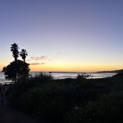
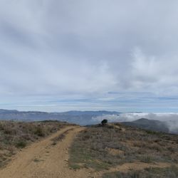
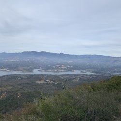
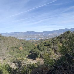
This was a great spot for a hike in town. There are some hills but I'd say it is moderate level for a hike, nothing too difficult. We went in November so it wasn't super green, but the ocean views throughout the hike are incredible. You get a sweeping view of the coast of Goleta as well as the Santa Barbara coast. When we did this hike we didn't see too many other people out walking, but everyone we did see was wearing a mask so we felt very safe on this walk/hike. We'll definitely be coming again for an afternoon hike with beautiful views!!
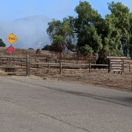

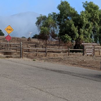
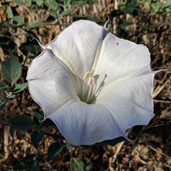
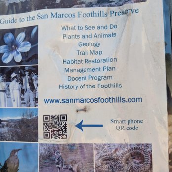
The walk here is not at all difficult. Fairly flat with a couple of dips. What is unique about this preserve are the poisonous plants in abundance. When I was a kid, my parents had castor bean trees and oleander bushes around the house. They said, "Don't eat them. They are poisonous." I smiled to myself thinking back that I did everything they asked me not to do except eat the poisonous plants. I first came across the Datura wrightii https://en.wikipedia.org/wiki/Datura_wrightii and took lots of photos - only to discover they are everywhere. These plants are unusual because they grow lush leaves and large beautiful trumpet flowers in places that are so dry and on hard packed ground that it is surprising they can do so well. The castor bean tree https://en.wikipedia.org/wiki/Ricinus is what is used to make castor oil - or as my brothers enjoyed doing - having castor bean fights with the green castor beans that are perfect for throwing at each other coming in nice bunches to carry around as an ammunition cluster. This area is under some sort of study. Areas have been marked and are under observation. You can see the stakes and the tags on the stakes that identify the plots. I use to do the plot studies years ago for the BLM. The plots are photographed each year and the plants are identified. This way, one might discover a trend over time. My study site was south-eastern Oregon. What did we learn? Nothing really changes out there. San Marcos Foothill preserve is a 4 hour investment of your time. If you enjoy running, this is probably a good place to get a run in because it's open and the trails are in good condition.


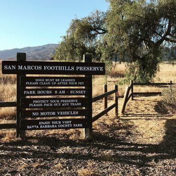
This is one of my favorite spots. It's quiet, peaceful, and safe. I come here whenever I'm in the area to do reflecting or enjoy the scenery. There is a clear pathway, but you can definitely go and hide out in the field if you wanted.


This is my new outdoor hike that's close to home! Hidden just off of Highway 154 is the San Marcos Foothills Preserve. It's a beautiful oasis with ocean, island and mountain view's featuring hiking/running trails. While the main trail is a 3.7-mile loop that's of moderate difficulty with a gain of 751 feet, multiple smaller unmarked trails venture further into the reaches of the preserve. There's a large parking lot right at the trailhead (for exact directions use: 34.457620, -119.766830). The best feature about this preserve is the fact that one section is maintained by a herd of 400 sheep with two shepherds and several sheepdogs from the Channel Islands Foundation. I was lucky enough to run into them during my adventure. Truly happy California sheep--forget about cows! The trail is not for horses or bicycles, however, is dog friendly if they remain leashed. I saw some great wildlife besides the sheep including a skink, lizards, a gopher and many birds species. Check it out for yourself.
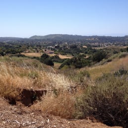

My favorite hike!! So many different trails (from easy to strenuous) on these hills and essentially impossible to get lost (being said by someone with no sense of direction). The views are absolutely gorgeous and I get the best workout. Highly recommend! read more


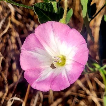
Wonderful place for a hike, saved from greedy developers eager to build McMansions by local conservationists and the community. I was fortunate enough to be able to participate in a seed collection event, learning a lot about the native plants including oaks, bushmallows and native morning glories. Trails are in excellent condition; the area is being restored to its natural status, so many signs are asking hikers to stay on the trail. Free parking on the street. read more


2 years ago
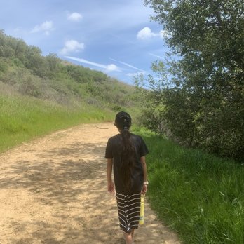
Great trail for dogs and children too! The older children wanted more of a challenging trail, and the little ones had to take a break or two. They all enjoyed the nature outing. Everything was so green, bright and fresh. There are some rocks the littles can climb and enjoy! Overall, so calm and peaceful. read more




5 years ago

This was a great spot for a hike in town. There are some hills but I'd say it is moderate level for a hike, nothing too difficult. We went in November so it wasn't super green, but the ocean views throughout the hike are incredible. You get a sweeping view of the coast of Goleta as well as the Santa Barbara coast. When we did this hike we didn't see too many other people out walking, but everyone we did see was wearing a mask so we felt very safe on this walk/hike. We'll definitely be coming again for an afternoon hike with beautiful views!! read more


The walk here is not at all difficult. Fairly flat with a couple of dips. What is unique about this preserve are the poisonous plants in abundance. When I was a kid, my parents had castor bean trees and oleander bushes around the house. They said, "Don't eat them. They are poisonous." I smiled to myself thinking back that I did everything they asked me not to do except eat the poisonous plants. I first came across the Datura wrightii https://en.wikipedia.org/wiki/Datura_wrightii and took lots of photos - only to discover they are everywhere. These plants are unusual because they grow lush leaves and large beautiful trumpet flowers in places that are so dry and on hard packed ground that it is surprising they can do so well. The castor bean tree https://en.wikipedia.org/wiki/Ricinus is what is used to make castor oil - or as my brothers enjoyed doing - having castor bean fights with the green castor beans that are perfect for throwing at each other coming in nice bunches to carry around as an ammunition cluster. This area is under some sort of study. Areas have been marked and are under observation. You can see the stakes and the tags on the stakes that identify the plots. I use to do the plot studies years ago for the BLM. The plots are photographed each year and the plants are identified. This way, one might discover a trend over time. My study site was south-eastern Oregon. What did we learn? Nothing really changes out there. San Marcos Foothill preserve is a 4 hour investment of your time. If you enjoy running, this is probably a good place to get a run in because it's open and the trails are in good condition. read more





5 years ago

5 years ago

8 years ago
This is one of my favorite spots. It's quiet, peaceful, and safe. I come here whenever I'm in the area to do reflecting or enjoy the scenery. There is a clear pathway, but you can definitely go and hide out in the field if you wanted. read more

4 years ago

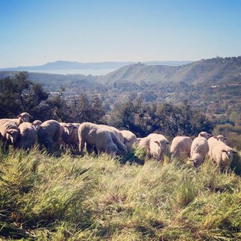
This is my new outdoor hike that's close to home! Hidden just off of Highway 154 is the San Marcos Foothills Preserve. It's a beautiful oasis with ocean, island and mountain view's featuring hiking/running trails. While the main trail is a 3.7-mile loop that's of moderate difficulty with a gain of 751 feet, multiple smaller unmarked trails venture further into the reaches of the preserve. There's a large parking lot right at the trailhead (for exact directions use: 34.457620, -119.766830). The best feature about this preserve is the fact that one section is maintained by a herd of 400 sheep with two shepherds and several sheepdogs from the Channel Islands Foundation. I was lucky enough to run into them during my adventure. Truly happy California sheep--forget about cows! The trail is not for horses or bicycles, however, is dog friendly if they remain leashed. I saw some great wildlife besides the sheep including a skink, lizards, a gopher and many birds species. Check it out for yourself. read more


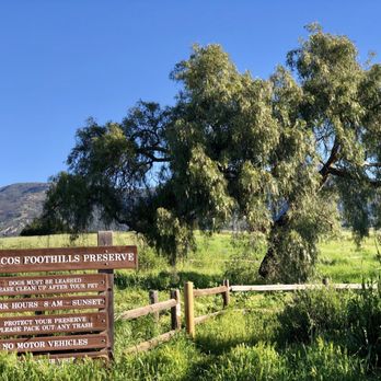



6 years ago

11 years ago
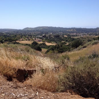
This is a nice little hike if you only have 45 minutes or so. The trail meanders over gentle hills of open grassland. There is no tree cover so it would be hot in summer but this breezy day in April it was quite pleasant. Dogs must be leashed. read more
11 years ago
10 years ago
More info about San Marcos Foothills Preserve
Ask the Community - San Marcos Foothills Preserve
Review Highlights - San Marcos Foothills Preserve
You might also consider


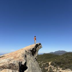

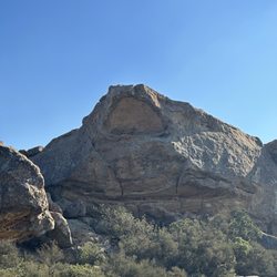


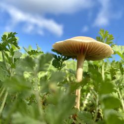
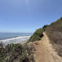








San Marcos Foothills Preserve - hiking - Updated September 2026
Best of Goleta
People found San Marcos Foothills Preserve by searching for…
Trending Searches in Goleta, CA
Apple Orchards near San Marcos Foothills Preserve
Apple Picking near San Marcos Foothills Preserve
Archery near San Marcos Foothills Preserve
Barbershop near San Marcos Foothills Preserve
Beautiful Views near San Marcos Foothills Preserve
Bird Sanctuary near San Marcos Foothills Preserve
Blow Dry Bar near San Marcos Foothills Preserve
Consignment Shops near San Marcos Foothills Preserve
Corn Maze near San Marcos Foothills Preserve
Dog Friendly Things To Do near San Marcos Foothills Preserve
Dog Swimming near San Marcos Foothills Preserve
Eyelash Extensions near San Marcos Foothills Preserve
Hiking near San Marcos Foothills Preserve
Hiking Trails near San Marcos Foothills Preserve
Kids Birthday Party near San Marcos Foothills Preserve
Makeup Artists near San Marcos Foothills Preserve
Off Road Trails near San Marcos Foothills Preserve
Parks near San Marcos Foothills Preserve
Photo Spots near San Marcos Foothills Preserve
Picnic Areas near San Marcos Foothills Preserve
Places To Take Pictures near San Marcos Foothills Preserve
Private Schools near San Marcos Foothills Preserve
Public Shower near San Marcos Foothills Preserve
Pumpkin Patches near San Marcos Foothills Preserve
Rock Quarry near San Marcos Foothills Preserve
Scenic Night View near San Marcos Foothills Preserve
Browse Articles
Browse Nearby
BEST of Goleta, California Coffee near San Marcos Foothills Preserve
BEST of Goleta, California Restaurants near San Marcos Foothills Preserve
BEST of Goleta, California Things to Do near San Marcos Foothills Preserve
BEST of Goleta, California Breakfast near San Marcos Foothills Preserve
BEST of Goleta, California Walking Trails near San Marcos Foothills Preserve
BEST of Goleta, California Parks near San Marcos Foothills Preserve
BEST of Goleta, California Campgrounds near San Marcos Foothills Preserve
BEST of Goleta, California Airport near San Marcos Foothills Preserve
BEST of Goleta, California Motel near San Marcos Foothills Preserve
Browse Brands
Related Searches in Goleta, CA
Affordable Kayak Rental Services in Goleta, California
Best Dog Hiking Trails Around Goleta, California
Best Fishing Locations and Guides in Goleta, California
Best Nature Trails for Hiking in Goleta, California
Best Places for Horseback Riding in Goleta, California
Best Sightseeing Experiences Available in Goleta, California
Check Out Off Road Trails in Goleta, California
Discover Dog Friendly Trails to Explore in Goleta, California
Discover Kid Friendly Hiking Trails in Goleta, California
Discover Popular Bike Trails in Goleta, California
Discover Top State Parks to Visit in Goleta, California
Discover a Hiking Trail in Goleta, California
Discover the Best Fishing Lake in Goleta, California
Discover the Best Night Hike Trails in Goleta, California
Dog-Friendly Hikes With Dogs in Goleta, California
Enjoy Camping Adventures Around Goleta, California
Enjoy Exciting Mountain Biking Adventures in Goleta, California
Enjoy Kayaking Adventures in Goleta, California
Enjoy Off Leash Dog Hikes in Goleta, California
Enjoy Tent Camping Spots Around Goleta, California
Enjoy a Beautiful Waterfall Hike in Goleta, California
Enjoy the Best Picnic Spots and Ideas in Goleta, California
Enjoy the Best Walking Trails in Goleta, California
Explore Beautiful Parks and Green Spaces in Goleta, California
Explore Easy Hikes Perfect for All in Goleta, California
Explore Fun Activities to Do in Goleta, California
Explore Popular Campgrounds Near Goleta, California
Explore Top Dog Parks in Goleta, California Near You
Explore the Best Beach Spots in Goleta, California
Family Friendly Hiking With Kids in Goleta, California
Find Popular Ziplining Spots Around Goleta, California
Find Top Dog Friendly Parks to Visit in Goleta, California
Find Top-Rated Waterfalls in Goleta, California Now
Find the Best Parks for Picnics in Goleta, California
Find the Best Playgrounds to Visit in Goleta, California
Find the Best Scenic View Locations in Goleta, California
Hiking Trails With Waterfalls in Goleta, California
Off Leash Dog Hiking Trails in Goleta, California
Popular Outdoor Activities to Try in Goleta, California
Popular Picnic Spots to Visit in Goleta, California
Popular Waterfall Hiking Trails in Goleta, California
Safe River Swimming Areas in Goleta, California
Safe and Fun Parks for Kids in Goleta, California
Top Hiking Trails to Explore in Goleta, California
Top Playgrounds for Kids to Enjoy in Goleta, California
Top Running Trails to Explore in Goleta, California
Top Things to Do With Kids in Goleta, California


