White Mountain Peak Photos


More like White Mountain Peak
Recommended Reviews - White Mountain Peak
Start your review...


Reviews With Photos
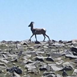

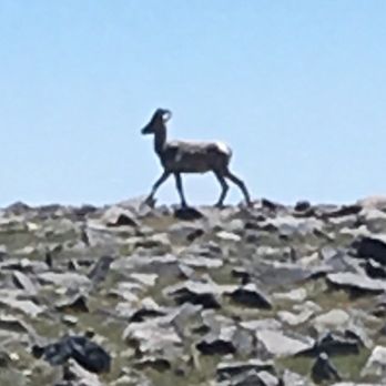
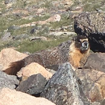
Liked the dry clear air, 10+ marmots, 10 Bighorn sheep , fun camping , loads of stars at night. Tarp under car to keep out marmots probably not needed this year (2018) on June 30-July 1. Looked a bit like volcano hikes In Hawai'i - nice and green. TheHikingGuy has excellent guide and Youtube video. Used GaiaGPS for map , which worked great . Sorry to say no water up there and dry air, so bring plenty of water. 15 miles took around 8 hours at 31 minute pace. Temperature say 50-70 from 6:30 start to 2:30 finish. It was about 100 degrees that day down below in Big Pine. Drove 16 mile unpaved road to and from trailhead in Prius in say 70 minutes each way without incident. Did 14-15 mile hikes 2x before as prep. Had no oxygen issues during Hike, but some difficulties sleeping at that altitude. Our group of 3 had all done Whitney before. Also did 4 mile Methuselah Trail the late afternoon before the White Mtn Hike - super scenic and interesting. Thankfully, not much traffic driving in and out from Orange County (say 300 miles each way). Nice to have co-driver to take over driving every 2 hours. Would consider glacier sunglasses next time for UV / sun protection


Previous reviews are complete and fair and I don't need to add anything, it's just my personal experience, for 14er, this mountain would be a great choice and training for elevation for Mount Whitney, be aware of strong wind and have sun protection, even if it feels cold you get pretty bad burn. It was my first 14er and it's an amazing experience. We camped Saturday to aclametiz and hiked Sunday early morning. Took us around 9h with slow steady phase. good luck :)


White Mountain Peak is the highest peak in the White Mountains of California, the highest peak in Mono County, and the third highest peak in the state after Mount Whitney and Mount Williamson. Elevation 14,252 ft Distance: 14 Miles roundtrip. Out and back. You start at an elevation of 12,000, so you're only going up around 2,000 - 3000 in elevation. It's kind of tricky for me to figure out since you're going up and down a few times on the trail. The hike is pretty easy for the first 3 -4 miles. There isn't too much of an elevation gain. This part of the hike reminded me of the opening scene from the Sound of Music. The last 2-3 miles are tough. You're basically just going UP. The terrain is similar to hiking West Mt Baldy (lots of loose gravel, tons of rocks). But not as bad. I only say this because I'd slip more hiking Baldy, and I didn't slip once hiking White Mountain Peak. You can see the summit from far away. And on a majority of the hike the summit is in your sights. This could either motivate you or de-motivate you... knowing how much further you had to go. Hiking this trail was an experience. When we were there, it was pretty windy. We didn't see too much wildlife. I only saw groundhogs. *I think*. And we saw a lot of sheep at the Research Station 2 miles from the beginning of the trailhead. Since the elevation at the top of White Mountain Peak is at 14K, you may experience elevation sickness. There is no bathrooms at the top of the mountain but there is one clean one at the start of the trail. Getting to the hike was pretty difficult as well. For 22 miles, before you get to the trailhead you're driving on extremely rocky off-roading type of roads. If you're in a small four door sedan it'll take you an hour to drive that. I would suggest taking an SUV. read more
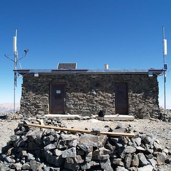


Great view. This was my 3rd 14er. There is a simple trail all the way to the top. Probably easiest 14er. People seem to do this for training for Whitney. I did just because I wanted to do this! You can camp at the trailhead, the day before the hike to acclimatize. We camped on Sat, and started hiking at 4 a.m, and came back to the trailhead around 11 a.m. It is windy on the trail and the top. I put downjackt and hood all the way. For any purpose, it's a great climb. read more




13 years ago
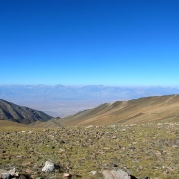
Our hiking group decided to do White Mountain as a training hike for Mount Whitney. The other post describes the hike up pretty accurately so I'll talk about coming back from the peak (yeah you have to come back...) You're already gasping for air because of the altitude, feet burning and legs weak with exhaustion from the final push you made to the summit and you remember that you made three steep descents on the way here that are now steep ascents on your return. The first hill on the way back made me dizzy, the second made me angry and the third just made me depressed. You have no choice though, you gotta get home right? Then you finally see the science station and it's all downhill from there. Despite the pain this is one of the most unique landscapes I have ever hiked. The ancient expansive beautiful views are something you should experience at least once in your life. read more




8 years ago
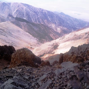
Liked the dry clear air, 10+ marmots, 10 Bighorn sheep , fun camping , loads of stars at night. Tarp under car to keep out marmots probably not needed this year (2018) on June 30-July 1. Looked a bit like volcano hikes In Hawai'i - nice and green. TheHikingGuy has excellent guide and Youtube video. Used GaiaGPS for map , which worked great . Sorry to say no water up there and dry air, so bring plenty of water. 15 miles took around 8 hours at 31 minute pace. Temperature say 50-70 from 6:30 start to 2:30 finish. It was about 100 degrees that day down below in Big Pine. Drove 16 mile unpaved road to and from trailhead in Prius in say 70 minutes each way without incident. Did 14-15 mile hikes 2x before as prep. Had no oxygen issues during Hike, but some difficulties sleeping at that altitude. Our group of 3 had all done Whitney before. Also did 4 mile Methuselah Trail the late afternoon before the White Mtn Hike - super scenic and interesting. Thankfully, not much traffic driving in and out from Orange County (say 300 miles each way). Nice to have co-driver to take over driving every 2 hours. Would consider glacier sunglasses next time for UV / sun protection read more



8 years ago
Previous reviews are complete and fair and I don't need to add anything, it's just my personal experience, for 14er, this mountain would be a great choice and training for elevation for Mount Whitney, be aware of strong wind and have sun protection, even if it feels cold you get pretty bad burn. It was my first 14er and it's an amazing experience. We camped Saturday to aclametiz and hiked Sunday early morning. Took us around 9h with slow steady phase. good luck :) read more


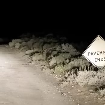
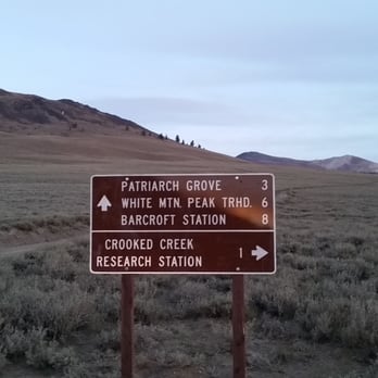
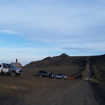
White Mountain might be labeled the easiest 14,000 foot peak to summit, but DO NOT underestimate this hike. The intense winds alone can stop you right in your tracks! Also, expect colder temperatures. It was 45 degrees at the trailhead in August, while it was 67 degrees for Mt Langley the day before. This is the highest point in the Inyo-White Range and the 3rd highest peak in California. What makes this the easiest 14K mountain to summit is that you can drive all the way up to 11,680 feet, leaving a 15 mile round trip hike with only 2,566 feet of elevation gain. The other main concern is to acclimate to the higher altitude before this hike. I hiked to the summit of Mt Langley the day before, so I was ready to go. Some hikers camp out at the trailhead or at Grandview Campground. Permits are not required for this hike. With White Mountain, your experience doesn't start with the hike but with the crazy drive to the trailhead. Make sure to gas up in Big Pine! You will spend between 4 to 5 hours of driving in such a remote area. From Big Pine on the Hwy 395, head West on Hwy 168. Drive 13 miles on the hilly Hwy 168 with deep dips in the road and turn left on White Mountain Road towards the Ancient Bristlecone Pine Forest. http://www.yelp.com/biz/ancient-bristlecone-pine-forest-bishop In 10 miles you will reach the Schuman Grove Visitors Center. This was about an hour drive from Big Pine to here. Stay on the main road past the Visitor Center onto the 16 mile DIRT road that ends at the Barcroft Facility locked gate for vehicles and the trailhead for this hike. There is a restroom located here at the trailhead. This 16 mile dirt road is very rough, but cars can make it. It took me 90 minutes to drive this dirt road only because I hate those future rattles and squeaks. There are very good road signs to follow throughout the trip. The trail itself is a very easy to follow dirt road... all the way to the summit. The trail starts with a short steep hill then levels off. In two miles you will reach the University of California Barcroft Facility at 12,470 feet. Then in another half a mile will be the Barcroft Observatory. At 4.3 miles you will see a White Mountain Wilderness sign at 12,835 feet. In the background you get an awesome view of the peak ahead and the tiny weather lab building that sits on top. Before reaching the summit you go up the open grassy field switchbacks to the side of the mountain with a great drop off view below. Then you head downhill for a little bit before the final STEEP road switchbacks. I just loved the views heading up to and from the summit! On the way down I was lucky to see some Big Horn sheep. http://www.yelp.com/biz_photos/white-mountain-bishop?select=4J5tmiyWWGEIj8hTqLtbzQ&utm_campaign=www_photo_share_popup&utm_medium=copy_link&utm_source=(direct) This is a great website for White Mountain: http://timberlinetrails.net/WhiteMountainGettingStarted.html read more






7 years ago

11 years ago

8 years ago

11 years ago
11 years ago
13 years ago
More info about White Mountain Peak
798 Main St
Lone Pine, CA 93514
Directions
(760) 873-2500
Call Now
Hours
Outdoor Amenities
Ask the Community - White Mountain Peak
Review Highlights - White Mountain Peak





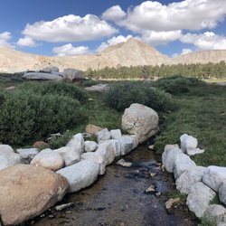


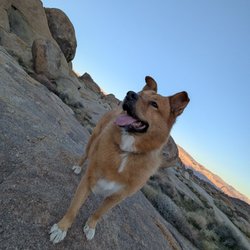


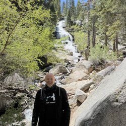





White Mountain Peak - hiking - Updated September 2026
Best of Lone Pine
Browse Brands
Related Searches in Lone Pine, CA
Best Dog Hiking Trails Around Lone Pine, California
Best Fishing Locations and Guides in Lone Pine, California
Best Places for Horseback Riding in Lone Pine, California
Best Sledding Spots and Fun in Lone Pine, California
Best Spots for Star Gazing in Lone Pine, California
Best Waterfalls and Swimming Holes in Lone Pine, California
Check Out Off Road Trails in Lone Pine, California
Discover Dog Friendly Trails to Explore in Lone Pine, California
Discover a Hiking Trail in Lone Pine, California
Discover the Best Night Hike Trails in Lone Pine, California
Dog-Friendly Hikes With Dogs in Lone Pine, California
Enjoy Camping Adventures Around Lone Pine, California
Enjoy Kayaking Adventures in Lone Pine, California
Enjoy Off Leash Dog Hikes in Lone Pine, California
Explore Beautiful Parks and Green Spaces in Lone Pine, California
Explore Easy Hikes Perfect for All in Lone Pine, California
Explore Fun Activities to Do in Lone Pine, California
Explore Popular Campgrounds Near Lone Pine, California
Explore Popular RV Parks Around Lone Pine, California
Explore Scenic Lakes to Visit in Lone Pine, California
Explore Top Dog Parks in Lone Pine, California Near You
Explore the Best Boating Spots in Lone Pine, California
Explore the Best Swimming Holes Around Lone Pine, California
Family Friendly Hiking With Kids in Lone Pine, California
Find Top Dog Swimming Spots in Lone Pine, California
Find Top-Rated Waterfalls in Lone Pine, California Now
Find the Best Playgrounds to Visit in Lone Pine, California
Find the Best Scenic View Locations in Lone Pine, California
Hiking Trails With Waterfalls in Lone Pine, California
Locate a Public Shower Facility in Lone Pine, California
Must-See Tourist Attractions Around Lone Pine, California
Off Leash Dog Hiking Trails in Lone Pine, California
Perfect Spots to Watch Sunset in Lone Pine, California
Popular Fishing Spots to Explore in Lone Pine, California
Popular Kids Activities in Lone Pine, California
Popular Picnic Spots to Visit in Lone Pine, California
Popular Things to Do in Lone Pine, California
Safe River Swimming Areas in Lone Pine, California
Top Hiking Trails to Explore in Lone Pine, California
Top Playgrounds for Kids to Enjoy in Lone Pine, California
Top RV Campgrounds to Visit in Lone Pine, California
Top Running Trails to Explore in Lone Pine, California
Top Swimming Lakes to Enjoy in Lone Pine, California
Top Swimming Spots and Pools in Lone Pine, California
Top Things to Do With Kids in Lone Pine, California
People found White Mountain Peak by searching for…
Camping Sites in Lone Pine, CA
Visitor Centers in Lone Pine, CA
Mountain Biking in Lone Pine, CA
Scenic Night View in Lone Pine, CA
Off Road Trails in Lone Pine, CA
Hiking Trails in Lone Pine, CA
Lakes & Ponds in Lone Pine, CA
Camping Cabins in Lone Pine, CA
Walking Trails in Lone Pine, CA
Scenic Overlook in Lone Pine, CA
Trending Searches in Lone Pine, CA
Antiques near White Mountain Peak
Dog Swimming near White Mountain Peak
Hiking near White Mountain Peak
Movie Theatre near White Mountain Peak
Parks near White Mountain Peak
Pedicure near White Mountain Peak
Picnic Areas near White Mountain Peak
Public Shower near White Mountain Peak


