Blackstone River & Canal State Park Photos



You might also consider


More like Blackstone River & Canal State Park
Recommended Reviews - Blackstone River & Canal State Park
Start your review...


Reviews With Photos


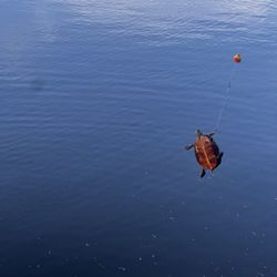
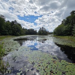
A favorite easy walk. We occasionally stop here for a walk, it's not difficult at all. We frequently see people of all ages here. It's about 2 miles total if you walk all the way to the end before heading back. We stopped last weekend and quickly noticed some turtles sitting on a log sunning themselves, and then we noticed another log with more turtles! Then we came across a group of logs and counted 23 turtles on them!! We eventually reached a count of 100 and gave up counting!!!


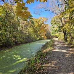
Met a friend to go for a walk. Chosen since it was a halfway point between us. And they allow dogs. We ended up walking almost 6 miles. And there were still plenty of trails. Trails range from single file to wide dirt roads. Many trails by the canal or river. But many through the woods. Lots of options. Very little change in elevation. Restrooms at River Bend were clean. Will probably come back again.


We were looking for some place to take a nice walk on a lazy Sunday and alas, our GPS lead us here. I didn't expect much since the last time we relied on our GPS, it lead us to a smelly beach that filled us with GPS regret. Upon arriving, we saw wide open fields, beautiful foliage and a wonderful little red barn. It was so inviting! We began to take a walk along the trail and it lead us to more beautiful fields and various stops along the river. There were just enough people on the trail to feel safe but not too crowded. The sights and sounds were beautiful. We saw bikers, canoers, runners and walkers like us. We ended up at the end of the trail where we saw an old (but restored) Mill. While we only walked a small portion of the trail, we felt like we were in a little piece of heaven on that beautiful Fall Day. We will make it a point to return again and again. Perfect place to enjoy nature!


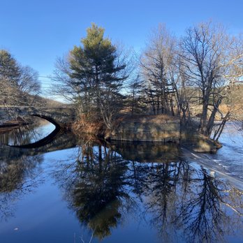
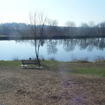
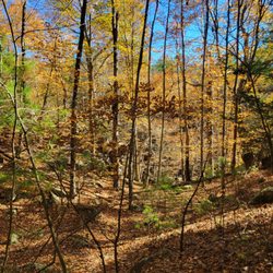
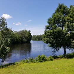
Absolutely beautiful scenic park located in Uxbridge, MA. There are several open fields close to the river as well as wooded areas bordering the Blackstone as it meanders through the park and local country side. Between the canal and river there is a dirt pack trail suitable for walking, jogging and dogs are allowed as long as they are leashed. In one of the open areas as near the river is a stand of birch trees which was magnificent and rather unusual in their growth pattern. This park is a 5 star experience you won't want to miss if you like the outdoors and have a spirit of adventure.


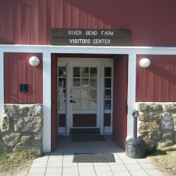
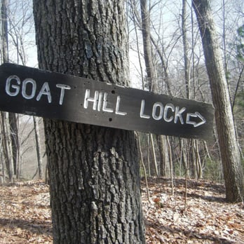
It seemed like a good idea at the time Blackstone River & Canal State Park is a track of land along the Blackstone River that has areas for hiking, picnicking and exploring history. Way back in the early 19th century the industrial revolution, fed by the many textile mills in the area, demanded a faster and more reliable way of getting the goods to the ports and large ships by the ocean. Canals seemed the logical choice and a period and extensive and enthusiastic canal digging began. Encouraged by the the success of the Erie Canal of 1817, the Blackstone Canal was seen as a great way of getting textiles and other material from the mills of Central Massachusetts to the ships of the Atlantic Ocean. It was completed in 1828 and became an immediate success. However problems with this canal, as with all the others of the time, quickly developed. Droughts dried up the canals and made them too shallow and floods made them too dangerous. Mud made the tow roads difficult to move on and locks required lots of maintenance and were time consuming. Transportation of goods became very dependent of the vicissitudes of the weather. The railroads finally drove the last nail in the coffin of the canals and by 1848 the Blackstone Canal closed for good. Like most of the other very ambitious canals of the time the Blackstone didn't last very long. Although the canal no longer serves it original propose it's still a cool place to explore and hike. Most of the structures are long gone but many areas of the tow roads, locks and canal itself can be seen and the Blackstone River and little ponds are still there. There is also a little visitors center at River Bend Farm and nice areas for a picnic or more causal stroll. The canals of New England are an important but mostly forgotten part of history. A lot of time, effort and money was poured into them but they ultimately proved less than successful. Fortunately parks like this preserve what is left of the great canals and what seemed like a very good idea at the time.


If you're looking for a peaceful outdoor escape in Central Mass, Blackstone River & Canal State Park is a hidden gem. Spring is the perfect time to visit. The trees are just starting to bud, the landscape has that first hint of green, and--best of all--the bugs haven't shown up yet. Add in a warming sun, and it's ideal for a long, relaxed walk. The canal and scenic trails along the Blackstone River are great for walking, running, or biking. If you take your time, you'll spot plenty of bluegills in the water, and occasionally bass or carp. You'll also see fishermen scattered along the canal and river, adding to the laid-back, local feel. What really stands out is how quiet it is compared to other state parks. Unless there is an event, there are no large crowds, and little noise--just open space and nature. Perfect for a casual stroll, a bike ride, fishing, frisbee, a picnic, or just clearing your head. read more

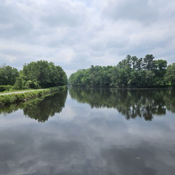


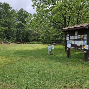


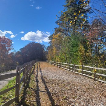
A slightly secluded walkway. Paved and straight, it's good for a quick little run/walk. There were about a dozen people walking in the area I was in when I was there even with it being late afternoon, so I would imagine its even busier during peak times. read more



2 years ago
It's very quiet here. Great place for you to take a walk or to ride your bike. Beautiful views. read more


5 years ago
A favorite easy walk. We occasionally stop here for a walk, it's not difficult at all. We frequently see people of all ages here. It's about 2 miles total if you walk all the way to the end before heading back. We stopped last weekend and quickly noticed some turtles sitting on a log sunning themselves, and then we noticed another log with more turtles! Then we came across a group of logs and counted 23 turtles on them!! We eventually reached a count of 100 and gave up counting!!! read more


3 years ago


5 years ago
Met a friend to go for a walk. Chosen since it was a halfway point between us. And they allow dogs. We ended up walking almost 6 miles. And there were still plenty of trails. Trails range from single file to wide dirt roads. Many trails by the canal or river. But many through the woods. Lots of options. Very little change in elevation. Restrooms at River Bend were clean. Will probably come back again. read more


We were looking for some place to take a nice walk on a lazy Sunday and alas, our GPS lead us here. I didn't expect much since the last time we relied on our GPS, it lead us to a smelly beach that filled us with GPS regret. Upon arriving, we saw wide open fields, beautiful foliage and a wonderful little red barn. It was so inviting! We began to take a walk along the trail and it lead us to more beautiful fields and various stops along the river. There were just enough people on the trail to feel safe but not too crowded. The sights and sounds were beautiful. We saw bikers, canoers, runners and walkers like us. We ended up at the end of the trail where we saw an old (but restored) Mill. While we only walked a small portion of the trail, we felt like we were in a little piece of heaven on that beautiful Fall Day. We will make it a point to return again and again. Perfect place to enjoy nature! read more


Absolutely beautiful scenic park located in Uxbridge, MA. There are several open fields close to the river as well as wooded areas bordering the Blackstone as it meanders through the park and local country side. Between the canal and river there is a dirt pack trail suitable for walking, jogging and dogs are allowed as long as they are leashed. In one of the open areas as near the river is a stand of birch trees which was magnificent and rather unusual in their growth pattern. This park is a 5 star experience you won't want to miss if you like the outdoors and have a spirit of adventure. read more



4 years ago

15 years ago
It seemed like a good idea at the time Blackstone River & Canal State Park is a track of land along the Blackstone River that has areas for hiking, picnicking and exploring history. Way back in the early 19th century the industrial revolution, fed by the many textile mills in the area, demanded a faster and more reliable way of getting the goods to the ports and large ships by the ocean. Canals seemed the logical choice and a period and extensive and enthusiastic canal digging began. Encouraged by the the success of the Erie Canal of 1817, the Blackstone Canal was seen as a great way of getting textiles and other material from the mills of Central Massachusetts to the ships of the Atlantic Ocean. It was completed in 1828 and became an immediate success. However problems with this canal, as with all the others of the time, quickly developed. Droughts dried up the canals and made them too shallow and floods made them too dangerous. Mud made the tow roads difficult to move on and locks required lots of maintenance and were time consuming. Transportation of goods became very dependent of the vicissitudes of the weather. The railroads finally drove the last nail in the coffin of the canals and by 1848 the Blackstone Canal closed for good. Like most of the other very ambitious canals of the time the Blackstone didn't last very long. Although the canal no longer serves it original propose it's still a cool place to explore and hike. Most of the structures are long gone but many areas of the tow roads, locks and canal itself can be seen and the Blackstone River and little ponds are still there. There is also a little visitors center at River Bend Farm and nice areas for a picnic or more causal stroll. The canals of New England are an important but mostly forgotten part of history. A lot of time, effort and money was poured into them but they ultimately proved less than successful. Fortunately parks like this preserve what is left of the great canals and what seemed like a very good idea at the time. read more






5 years ago

7 years ago

12 years ago

15 years ago
7 years ago
This was a beautiful pathway and my dog sure enjoyed the views too !! I loved that the path has fresh cut grass it's definitely care for and my dog has the choice to walk on path or grass. Wish they had water stops on the pathway but overall best bike path I've seen. read more


11 years ago
Great place to hike! Lots of different choices and so very pretty. Different levels of hiking make it great for whatever you are up for that day. read more


12 years ago

7 years ago

12 years ago
7 years ago
8 years ago

12 years ago
More info about Blackstone River & Canal State Park
287 Oak St
Uxbridge, MA 01569
Directions
(508) 278-7604
Call Now
Visit Website
https://www.mass.gov/locations/blackstone-river-and-canal-heritage-state-park
Hours
Indoor Amenities
Outdoor Amenities
Ask the Community - Blackstone River & Canal State Park
Review Highlights - Blackstone River & Canal State Park



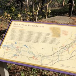


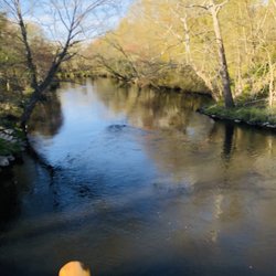


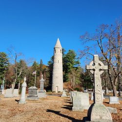










Blackstone River & Canal State Park - hiking - Updated September 2026
Best of Uxbridge
People found Blackstone River & Canal State Park by searching for…
Dog Friendly Beaches in Uxbridge, MA
River Swimming in Uxbridge, MA
Walking Trails in Uxbridge, MA
Places to Take Pictures in Uxbridge, MA
Hiking Trails With Waterfalls in Uxbridge, MA
Parks BBQ Grills in Uxbridge, MA
Parks for Kids in Uxbridge, MA
Off Leash Dog Parks in Uxbridge, MA
Browse Nearby
BEST of Uxbridge, Massachusetts Restaurants near Blackstone River & Canal State Park
BEST of Uxbridge, Massachusetts Coffee near Blackstone River & Canal State Park
BEST of Uxbridge, Massachusetts Walking Trails near Blackstone River & Canal State Park
BEST of Uxbridge, Massachusetts Things to Do near Blackstone River & Canal State Park
BEST of Uxbridge, Massachusetts Parks near Blackstone River & Canal State Park
BEST of Uxbridge, Massachusetts Breakfast near Blackstone River & Canal State Park
BEST of Uxbridge, Massachusetts Campgrounds near Blackstone River & Canal State Park
BEST of Uxbridge, Massachusetts Sledding near Blackstone River & Canal State Park
BEST of Uxbridge, Massachusetts Taxis near Blackstone River & Canal State Park


