Dragon's Tooth Photos



More like Dragon's Tooth
Recommended Reviews - Dragon's Tooth
Start your review...


Reviews With Photos


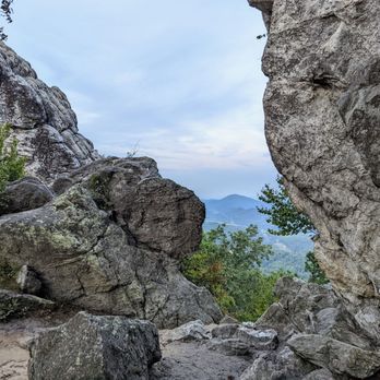
This is one of my favorite hikes. It was beautiful when I did it early Spring. I will probably skip hiking this in the Summer, but I am definitely intrigued hiking this in the Fall. I'm sort-of-an-experienced hiker, so this hike was not that difficult for me. However, it still sucks not to be able to finish this hike with my husband who carried our son in a Deuter backpack. They only made it to the bottom of the rock scramble. They had to turn back because it would have been really dangerous climbing the rocks with a 3-year old on his back, so I don't recommend bringing children under 5 years old to the top. In fact, some people already warned us in the beginning of the trail that it would be dangerous to bring our son up there. Amazingly, I have seen some medium to big dogs climbing the rocks and make it to the top (ouch...joints...ahem). This trail is part of the Virginia Triple Crown (one of my bucket list this year). I finished this hike in 2.5 hours, just because I ran on my way back and had no company to enjoy the view.


Loved it!! Loved climbing the rocks and daring gravity !! Definitely worth it! God is good and you after viewing this be deserves to be praise even More! Grab a friend and a snack And get to hiking !
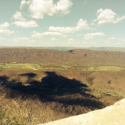

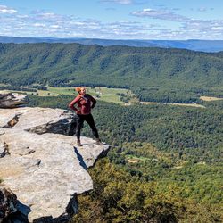
A friend invited me to join a group for a tribute hike in memory of his friend who passed several years ago. I only knew his friend as an acquaintance but I figured it would be my good deed for the day and decided to make the long drive out there to meet everyone. I kept telling myself as I was on the hike going up and up and up..... And up that it would be worth it. It was! You get a great view from up top along with a nice view of the city of Roanoke if you're willing to travel further along the tall rocks (I do not recommend going that way if you're afraid of heights). Keep in mind the trail is steep and there are a couple wooden tiny bridges to cross. I also recommend some bug spray and drink plenty of water to stay hydrated since it's a long hike (9.3 miles round trip if I'm correct) The group does the hike every year in memory of their fallen family member and I'll make sure to join them again next year. We went on a nice sunny day and I believe it's cause our fallen friend (RIP Matt) made sure Mother Nature didn't shed any tears of rain on us.
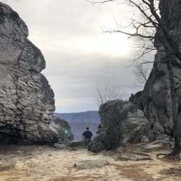
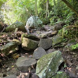
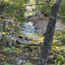
Point if view from a non-hiker living in a flat area: This trail is tough. It is a nice, peaceful trail but the last 0.7 miles is strenuous. It is a rock scramble, so expect to use your hands. It is well marked and crosses a few little streams. We also went in the fall, so the leaves make it a little more dangerous because roots and small rocks are hidden. I actually found rolled ankles to be a bigger risk than the actual climbing. Despite all that, this was 100% worth it. The rock scramble was an awesome experience in general, but the views at the top and interesting rock structures were unreal.


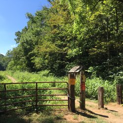
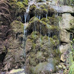
There is a national forest area gravel parking lot, which gives way to a trail through a rainforest-y ravine, at the top of which one joins the Appalachian Trail. Some of the longer distance hikers were complaining that they thought Virginia was going to be flat, which it most certainly is not in this area. To get from the parking lot to the actual dragon's tooth is about 2.5 miles, and the last 0.5 probably took me as long as the 2, as there is a lot of rock and not a lot of trail. The blazes combined with the twists and turns are somewhat confusing. It's a challenging area, but the reward is some nice views. The first time I tried it, I made it the first two miles and turned around because it was getting dark, which was probably a wise decision. read more
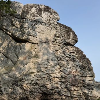


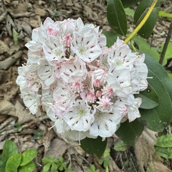

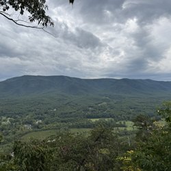
Incredibly, This is Such a beautiful, majestic and unique trail located just outside of Roanoke/Blacksburg VA. I accidentally found this place by randomly driving The Virginia byway outside from Blacksburg whilst doing a scenic drive. The Dragon Tooth trail is equipped with Glorious views, Moderate-High Terrain and a trail suitable for Moderate to Advanced Hikers. Strongly recommend! I'm glad I got this Virginia Trail of my bucket list of nature trail Wanders and hope you do too!! The views & Hike are worth it!! read more


5 years ago
This was on of the most amazing hikes I have done in a while! The day was perfect. Great weather, amazing company! You should adventure and try the outdoors. Bring water and and snack. read more


This is one of my favorite hikes. It was beautiful when I did it early Spring. I will probably skip hiking this in the Summer, but I am definitely intrigued hiking this in the Fall. I'm sort-of-an-experienced hiker, so this hike was not that difficult for me. However, it still sucks not to be able to finish this hike with my husband who carried our son in a Deuter backpack. They only made it to the bottom of the rock scramble. They had to turn back because it would have been really dangerous climbing the rocks with a 3-year old on his back, so I don't recommend bringing children under 5 years old to the top. In fact, some people already warned us in the beginning of the trail that it would be dangerous to bring our son up there. Amazingly, I have seen some medium to big dogs climbing the rocks and make it to the top (ouch...joints...ahem). This trail is part of the Virginia Triple Crown (one of my bucket list this year). I finished this hike in 2.5 hours, just because I ran on my way back and had no company to enjoy the view. read more


6 years ago
Loved it!! Loved climbing the rocks and daring gravity !! Definitely worth it! God is good and you after viewing this be deserves to be praise even More! Grab a friend and a snack And get to hiking ! read more


A friend invited me to join a group for a tribute hike in memory of his friend who passed several years ago. I only knew his friend as an acquaintance but I figured it would be my good deed for the day and decided to make the long drive out there to meet everyone. I kept telling myself as I was on the hike going up and up and up..... And up that it would be worth it. It was! You get a great view from up top along with a nice view of the city of Roanoke if you're willing to travel further along the tall rocks (I do not recommend going that way if you're afraid of heights). Keep in mind the trail is steep and there are a couple wooden tiny bridges to cross. I also recommend some bug spray and drink plenty of water to stay hydrated since it's a long hike (9.3 miles round trip if I'm correct) The group does the hike every year in memory of their fallen family member and I'll make sure to join them again next year. We went on a nice sunny day and I believe it's cause our fallen friend (RIP Matt) made sure Mother Nature didn't shed any tears of rain on us. read more
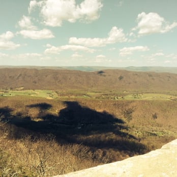

Point if view from a non-hiker living in a flat area: This trail is tough. It is a nice, peaceful trail but the last 0.7 miles is strenuous. It is a rock scramble, so expect to use your hands. It is well marked and crosses a few little streams. We also went in the fall, so the leaves make it a little more dangerous because roots and small rocks are hidden. I actually found rolled ankles to be a bigger risk than the actual climbing. Despite all that, this was 100% worth it. The rock scramble was an awesome experience in general, but the views at the top and interesting rock structures were unreal. read more
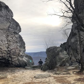


9 years ago
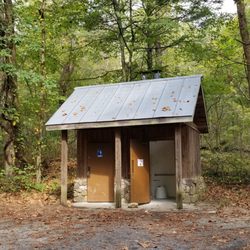
I'll always remember this hike as the only one that I was off trail (not on purpose) and my beloved boots fell victim to. This is a difficult hike with 4.3 mile round trip and 1500+ elevation gain. My actual hike landed up being 9 miles due to missing / poorly marked blazes and signs. This trail is near Roanoke (1/2 hour) and HIKING ONLY and dogs on leash. Here's the DL. +. Parking is Free about a dozen spots + One facility at the trail head + Elevation (1,505') and 4.3miles round trip - NO accommodation for people needing assistance + Dog friendly (on leash and pack out any mess) + VERY POORly marked trails + 35ft quartzite shoots up at the summit + SCENIC view at the top of the rocks (unless you climb on the rocks, your views are limited) + Rock scrambling required. I went up fine mostly but after the scramble, I was on Appalachian Trail (not DT blue blaze). I got off the DT unknowingly. Took a right turn as it looked to be ascending and after a mile when it began going down, I turned around. Eventually I saw blue blazes for Dragons Tooth and found my way to the rocks. Enjoyed the fabulous view and had a little snack. On my return I followed the marker and blazes and hiked down. After about a 1/2 mile steep descent, the trail just disappeared and I realized I was off trail AGAIN! I turned my map and gps app on and began following. Thank goodness for technology. I went over 2 ridges and ravines and came up on a small trail. My boots took a beating and one got a loose sole. Eventually I saw power lines and began crossing the field under it to civilization. As I was crossing I heard someone yelling "hello" "hello" and when I turned around, I saw people above tall overgrown grass. A man and a woman waving their arms to catch my attention and guess what?! They were lost too but for much longer time (2 hrs). I was knowingly lost for 35 minutes and apparently they hiked this trail before! Their cells didn't have any signals and were frazzled. They decided to follow me since I had signal and we could see some houses across the field. After crossing the field and down the road, we finally saw a man tractor-mowing his huge lawn/farm and asked for directions. He said he didn't know what was going on up there (Mtn) but there had been at least a dozen people that week like us. One guy was just sitting on the road b/c he didn't know where he was. We were able to get directions and found out that we were nearly 3miles from the parking lot! By now my right boot was bugging me so I made moccasins of them by ripping the soles off. So we walked along backroads of VA to the parking lot. We were so soooo happy to see our cars! By then we became fast friends! Over all, I consider myself an experienced hiker and this is the very first hike that I got lost. My iPhone registered over 9 miles. The markers and missing blazes are dangerous and is totally unacceptable. This is not a popular trail in the summer so I suggest waiting til Fall when it's busier to be safe. Always pack well and safety first! I slept very well that night. read more


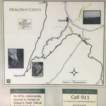

7 years ago

More info about Dragon's Tooth
Catawba Valley Dr
Catawba, VA 24070
Directions
Visit Website
http://www.hikingupward.com
Hours
Outdoor Amenities
Ask the Community - Dragon's Tooth
Review Highlights - Dragon's Tooth














Dragon's Tooth - hiking - Updated August 2026
Best of Catawba
People found Dragon's Tooth by searching for…
Hiking Trails With Waterfalls in Catawba, VA
Scenic Overlook in Catawba, VA
Off Road Trails in Catawba, VA
Places to Take Pictures in Catawba, VA
Beautiful Views in Catawba, VA
Basketball Courts in Catawba, VA
Fun Things to Do at Night in Catawba, VA
Things to Do on a Rainy Day in Catawba, VA
Browse Nearby
BEST of Catawba, Virginia Restaurants near Dragon's Tooth
BEST of Catawba, Virginia Coffee near Dragon's Tooth
BEST of Catawba, Virginia Scenic View near Dragon's Tooth
BEST of Catawba, Virginia Things to Do near Dragon's Tooth
BEST of Catawba, Virginia Lakes near Dragon's Tooth
BEST of Catawba, Virginia Campgrounds near Dragon's Tooth


