Cancel

    Open app

    Search

    Hagen Canyon Nature Trail

    5.0 (3 reviews)

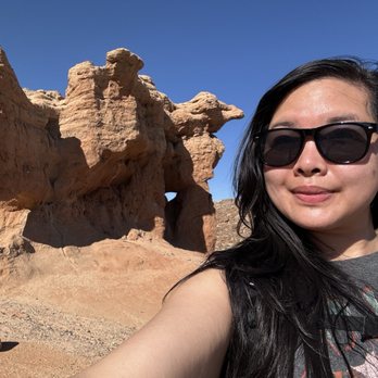
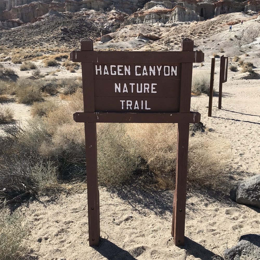
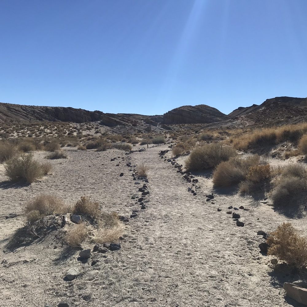
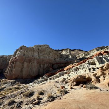
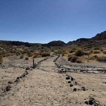
    Hagen Canyon Nature Trail Photos
    You might also consider

    Recommended Reviews - Hagen Canyon Nature Trail

    Your trust is our priority, so businesses can't pay to alter or remove their reviews. Learn more about reviews.
    Yelp app icon
    Browse more easily on the app
    Review Feed Illustration

    5 years ago

    Helpful 17
    Thanks 0
    Love this 18
    Oh no 0

    5 years ago

    Helpful 3
    Thanks 0
    Love this 2
    Oh no 0
    Photo of Charly S.
    299
    149
    133

    8 years ago

    Helpful 6
    Thanks 0
    Love this 2
    Oh no 0

    Verify this business for free

    Get access to customer & competitor insights.

    Verify this business

    Burro Schmidt Tunnel - His story. Pretty epic.

    Burro Schmidt Tunnel

    4.8(8 reviews)
    11.0 mi

    My wife and I really enjoyed our visit here and our walk through the tunnel…read more The drive in from Highway 14 is tough if you have a standard, low, 2wheel drive car. I don't recommend it. I drive a 2 wheel drive Explorer that is a little higher and wider tires. It took 50 minutes of careful driving to get to the tunnel. No huge rocks or washouts but a lot of loose deep sand that requires your attention. Be prepared, drive the right car and don't let the drive in stop you from visiting. There are enough signs along the way, better to call the trail markers, so you won't get lost. I used Waze and it took out any guess work. Once at the tunnel the opening looks very small and many people think that it means you need to crawl through and won't go. But just go in 15 feet or so and you can stand up all the way and it is good. My wife was very concerned and didn't want to go in until she could see me standing fully upright once I got all the way inside. My wife carried a lantern with 360 light and I had a flashlight with a thinner beam for more distance. It was a perfect combination. When you are inside you can look back and see the light at entrance getting smaller but cannot see light at the far end. Don't worry, there is a 90 degree tun near the end that blocks your view of the exit but it is there. Deep inside it really does feel like an adventure. It's just spooky enough to make you feel like you accomplished something by getting all the way through. My wife was flat out scared but was determined and did it. There is a great view spot at the far end. We walked off to both sides of opening and loved the views. There was a couple coming the other way on our way through and it was kind of fun meeting nice people in such an otherworldly place. Inside the tunnel it does not smell, there was only the tiny amount of dust we kicked up with our feet and no wind. Eerily quiet. You can still see the ore cart tracks in a couple places and it really brings to mind the immense amount or labor and dedication, or possibly obsession, this man had to finish it. It's stunning to contemplate. Go and walk it but don't just walk it, take the time to appreciate this one man, hand dug, 38 year creation.

    Always fun to go there with the kids lots of exploring to do here. A high clearance vehicles is…read moreneeded. Awesome place

    Photos
    Burro Schmidt Tunnel - Sign on highway 14.

    Sign on highway 14.

    Burro Schmidt Tunnel - Looking down on parking area, tunnel is on left.

    Looking down on parking area, tunnel is on left.

    Burro Schmidt Tunnel - Schmidt's crib.

    See all

    Schmidt's crib.

    Last Chance Canyon - Around our camping side

    Last Chance Canyon

    5.0(1 review)
    19.3 mi

    Just a few comments on the local Mojave area around Edwards, not on this specifically posted…read more(business)location. Although the posted commentary of the first reviewer certainly sounds typical, I'd somewhat question the comment about hot nights in the Mojave. My personal experience has been that typically, about 4 PM every day, a strong wind comes up across the Mojave and temps usually can drop over 50 degrees from day to night. North of Edwards, in the eastern reaches of California City, there used to be (not sure if still there) a long dirt road-trail across the desert, that one might drive, knowing that you were traversing the old and famous 20 mule-team Borax Trail, from Death Valley to the railhead at Mojave. (See: http://home.earthlink.net/~cyberkiwi/desertexploration/trborax.htm) East of Edwards, there is an area famous for Hot-Air Ballooning. South of Edwards, east of Lancaster, off a desert road, a hillside encropment, host an open mine entrance, with old tracks and an unsafe old wooden ladder, that descends into the almost vertical depths of the old mine, only to find the bottom-of-the-shaft filled with water. A friend once slowly descended into the water, to find a horizontal water-filled shaft with air-pockets under the roof. (Not recommended!) If you can access Edwards itself, South Edwards may yet have traces of the old Edwards Sled-Track, on which the Astronauts rode a rocket-sled across the desert, to experience G-forces. The track was moved to Holloman AB, New Mexico years ago. Along the south rim of Rogers Dry Lake Bed, are the old remaining buildings and roads of the original Edwards, nee Muroc Army Air Station, made famous in air-flight history, with famous names like Chuck Yeager, X-1 rocket ship and more. Just walking through this area, when the wind blows, one can almost feel the winds of history! And finally (here), there is the famous Edwards Rocket Base, on the ridge overlooking Rogers Dry Lake, somewhat south-east of Edwards. Here is a website (link) to another website with a quote that 'paints-a-magnificent-picture', of the time-and-place of Rocket Base in history, as told in the Foreword to an online Hollywood Documentary screenplay. Enjoy! http://www.fiwd.org/Reality.htm

    Photos
    Last Chance Canyon
    Last Chance Canyon - Just beautiful and great experience for few days

    Just beautiful and great experience for few days

    Last Chance Canyon

    See all

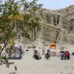
    Rainbow Basin Natural Area

    Rainbow Basin Natural Area

    4.7(3 reviews)
    30.3 mi

    I've a bit of the wanderlust running through me, and it's getting stronger with each day passing…read more To try and negate some of this growing restlessness, I thought perhaps reviewing one of my past adventures would help to calm the stormy seas inside of me before I go insane. I have a dirty past. Quite literally. I am one of very few chicks that dug dirt and rocks from a very tender age (mind the bad pun). And they continue to excite me even after a decade away from school. There's hardly anything more exciting than hiking to gods know where for some geologic/paleontologic mindjob. Was that TMI? Oops, my bad. But, please, don't go anywhere! Allow me to share one of my fondest geology trips with you. I loved my majour in college. What's not to love about a study that allows you to spend more than half of your collegiate time outdoors, rain or shine? I was never much one for classroom settings. Don't let the geeky exterior fool you. I'm the type to bring a laptop out into the wild unknown to play my video games. ^_- Whoever said you can't have it all? All that's missing is a wonderful companion to share it all with. My Spring Fieldtrip assignment was to map Rainbow Basin, outside of Barstow, California. I believe the area we had to map was about 3 square miles, up and down peaks and in and out of valleys. 9 glorious days did we spend out there. Rainbow Basin is a gorgeous stretch of land. If you haven't been there yet, promise me you will. If only for a day. The best part is during sunset in the main valley. There's a specific point in the valley where you crest a rise and just sit there, waiting for the magickal moment where the sun dips just low enough in the sky to light up the cliff face where there's a huge syncline composed of various oxidized layers (http://en.wikipedia.org/wiki/File:Rainbow_Basin.JPG). These layers, composed of various different minerals, oxidized over time to produce different shades of colours - red, purple, yellow, green, blue... The beauty is when the sun lights up these different layers to give you the most amazing display of coloured rock ever. Hence, the name of the basin itself. I'm thinking of a road trip back there this summer to view this phenomenom once more; only this time, I'll be bringing a camera to document my memories. Will you join me? Bring your sleeping bag, but forget the tent. We'll snuggle under the summer stars together.

    Beautiful place. Love the colors and formations. Geology is wonderful. Enjoyed the scenic drives as…read morethe valley walls get closer and closer as your car wanders through the basin. The road Is nicely graded that goes through a wash. Very epic, scenic panoramic views. Highly recommend spring, fall or winter times to visit as it can get hot!! We went in February, Not too far of a drive from Barstow or on the dirt road. We also hiked among the Mojave desert vegetation and enjoyed the Joshua trees. Think we got a glimpse of the lakebed with Goldstone. Great picture taking opportunities!

    Photos
    Rainbow Basin Natural Area
    Rainbow Basin Natural Area
    Rainbow Basin Natural Area

    See all

    Tomo-Kahni State Historic Park

    Tomo-Kahni State Historic Park

    5.0(1 review)
    22.1 mi

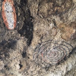
    Tomo-Kahni (translated "winter village") was the site of a Kawaiisu Native American Village. The…read moreHistoric Park is located along a ridge in the Tehachapi Mountains. The site can only be accessed by guided tours which are held two Saturdays per month during the spring and fall months. On the 1.5 mile walking tour you'll get to learn about the Kawaiisu people and how they used to live. You'll also learn about some of the native plants, such as the ephedra plant which was used to make a stimulating tea and the burned charcoal was used to make decorative tattoos. You'll get to see various bedrock mortars where the would crush acorns into their staple meal. You'll pass by large boulders covered in vibrant and colorful neon green and orange lichen. The tour ends at the Ceremonial Cave, also known as Creation Cave or the Teddy Bear Cave. It's really more of a rock shelter. Inside there are well preserved pictographs. The cave is said to be guarded by a supernatural grizzly bear that lives within the rock face that guards the cave from unworthy intruders. Overall it was a vary enjoyable visit. The tour starts at 8:30 AM at the Tehachapi Museum. After a 30 min orientation you'll caravan to the site. We got back to our car around 1pm. The fee for the tour is $5 for adults and $3 for children ages 6- 16. There is also a $10 registration fee. You can call 661-946-6092 for tour information and reservations.

    Photos
    Tomo-Kahni State Historic Park - Bedrock mortars

    Bedrock mortars

    Tomo-Kahni State Historic Park
    Tomo-Kahni State Historic Park

    See all

    Desert Tortoise Research Natural Area - Lizard, lizard

    Desert Tortoise Research Natural Area

    4.2(6 reviews)
    11.2 mi

    I have had the Desert Tortoise Natural Area (DTNA) on my list of places to visit for a few years…read more Since I was camping nearby, I jumped at the opportunity. Passing through sleepy and imprecisely-named California City then on to the sandy Randsburg Mohave Road, it became clear why the desert tortoise -- California's official state reptile -- has been facing extinction. Housing has encroached and off-road vehicles play in this habitat seemingly disconnected from the consequences of their actions. Reaching the DTNA, the large amount of special fencing at the perimeter illustrates the amount of effort required to protect these animals. A gravel parking lot, pit toilet and small interpretive kiosk are the only amenities so come prepared for the visit and the weather. Interpretive brochures are available on the trails to lend perspective and, perhaps, more importantly, lower expectations. I walked all of the flat trails and aside from some small lizards and long-eared rabbits, I saw no tortoises or even the really venomous Mohave green rattlesnakes. If you're into creosote bushes, though, this is the place for you. Unfortunately, there's not much to inspire taking out the camera. So, did I like my experience? Well, I wasn't sure but I sorted this out as I sat watching the sunset back at my campsite. It's not about the visitor at all: it's about the tortoise. It's reassuring to know that this protected area exists and that many volunteers and experts have devoted so much of their time to the cause of saving the tortoise. That feels good. Selfishly, I'll be back in the Spring when the desert flowers are blooming and maybe I'll be lucky to see a tortoise or two basking in the milder temperatures.

    Call it a bit of beginner's luck but my three children and two nieces, ages3-15, and I had a great…read moreexperience. We got some guidance from Ms. Sharon on some earlier tortoise sightings and took that loop. We saw plenty of lizards, including a couple horned lizards, caterpillars, gopher and rattle snakes, empty tortoise burrows and finally just before turning to head back, a desert tortoise. Mission accomplished! He was burrowed but we still saw him. Yes the bathroom isn't that great but it was clean in general. Don't look in the whole, lol. It's a fine piece of construction for an outhouse. I believe I saw a sidewinder just outside the preserve fence while I was trying to find the entrance. It was moving so fast and peculiar from average snake. Tip: stay on Randsburg-Mohave Rd to get to entrance.

    Photos
    Desert Tortoise Research Natural Area - Don't hurt the tortoises

    Don't hurt the tortoises

    Desert Tortoise Research Natural Area - Restroom

    Restroom

    Desert Tortoise Research Natural Area - Horned lizard out and about

    See all

    Horned lizard out and about

    Rainbow Bridge Via Pacific Crest Trail

    Rainbow Bridge Via Pacific Crest Trail

    4.8(4 reviews)
    71.5 mi

    The Pacific Crest Trailhead - Mojave River Forks End of Road serves as a significant access point…read moreto the iconic Pacific Crest Trail (PCT) in Southern California. Situated at an elevation of 923 meters in the Mojave Desert region, this trailhead marks a unique intersection where the vast wilderness of the PCT meets the end of California Highway 173. It is a crucial gateway for exploring the diverse landscapes of the San Bernardino Mountains foothills and the unique desert environment. Visitors consistently highlight this trailhead as the most accessible starting point for reaching the popular Deep Creek Hot Springs, making it a favored destination for hikers. The opportunity to experience a distinctive desert section of the Pacific Crest Trail, with its scenic Deep Creek Canyon and lush riparian vegetation, is another major draw. The convenience of a wide parking area at the end of the paved road also contributes to its popularity among those looking for day hikes or shorter excursions on the PCT. Before setting out, hikers should be prepared for a creek crossing within about a mile of the trailhead, as Deep Creek must be forded. While often shallow or dry, especially during certain times of the year, water levels can rise significantly after rain or snowmelt, potentially requiring an alternative parallel track near the dam. The trailhead offers ample free parking at the dead-end of Highway 173, making it easily reachable by passenger vehicle. This trailhead is ideal for hiking and trail running, particularly for those aiming for the Deep Creek Hot Springs, which is typically a 12-mile out-and-back journey. The arid desert climate suggests that spring and fall offer the most comfortable conditions for exploration, avoiding the extreme heat of summer or potential high waters in winter. Its location also provides convenient access to nearby amenities at Mojave River Forks Regional Park, including camping and recreational opportunities at Silverwood Lake.

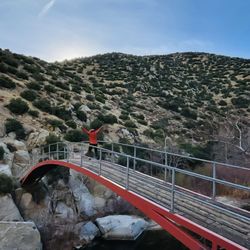
    i love this trail, but do it on a cloudy day, wont recommend hiking this on a hot day because…read moretheres no shade the whole time. and pls. pick up after your pet. parking is kinda sketchy too. so take the risk. Other than that love the bridge at the end of the trail!

    Photos
    Rainbow Bridge Via Pacific Crest Trail
    Rainbow Bridge Via Pacific Crest Trail
    Rainbow Bridge Via Pacific Crest Trail

    See all

    Hagen Canyon Nature Trail - hiking - Updated August 2026

    Loading...
    Loading...
    Loading...