Cancel

    Open app

    Search

    Millerton Point

    4.3 (6 reviews)

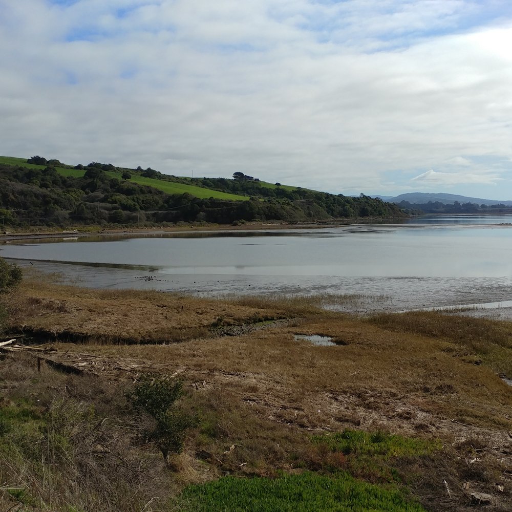
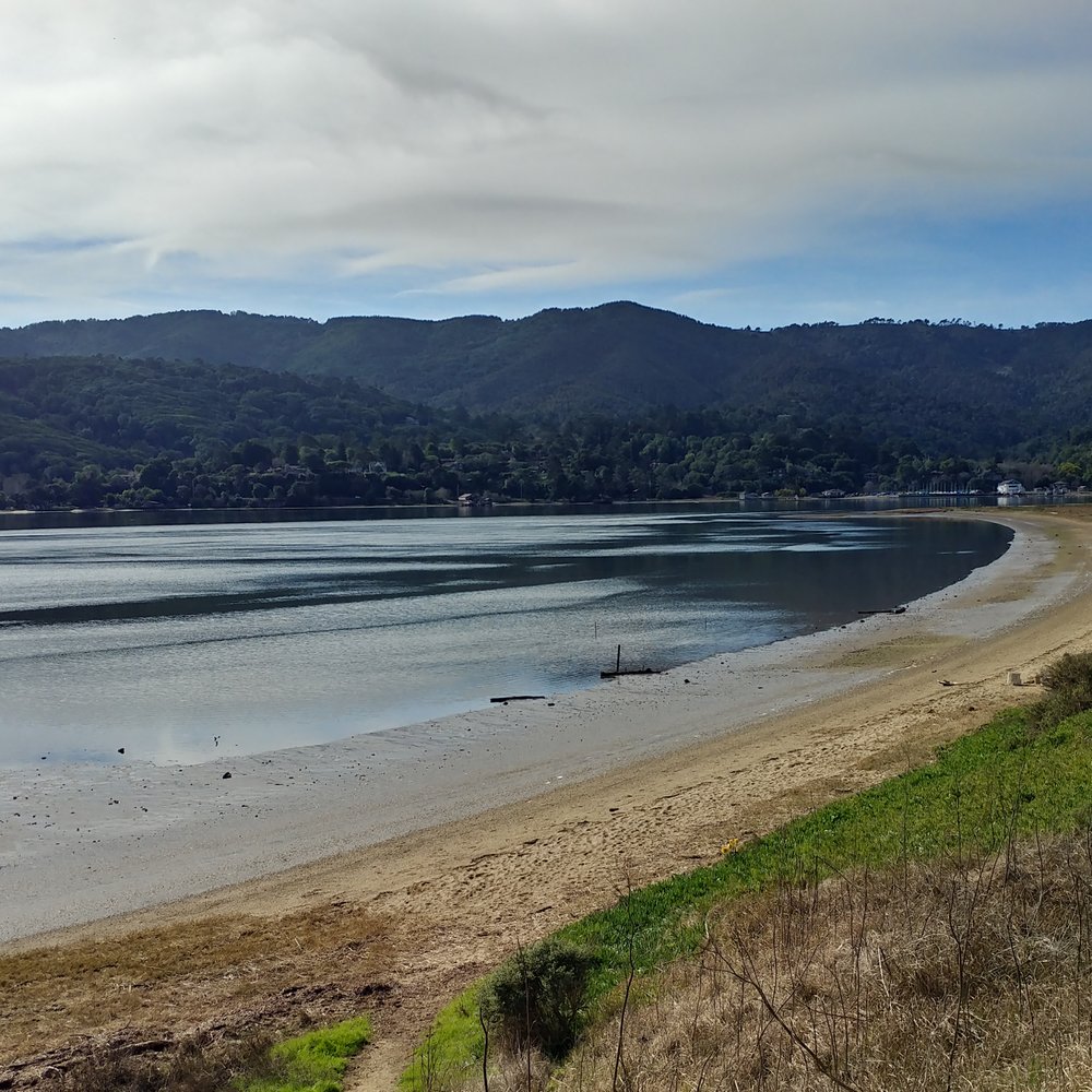
    Millerton Point Photos
    You might also consider

    Recommended Reviews - Millerton Point

    Your trust is our priority, so businesses can't pay to alter or remove their reviews. Learn more about reviews.
    Yelp app icon
    Browse more easily on the app
    Review Feed Illustration
    Photo of Joan W.
    108
    512
    1579

    2 years ago

    Helpful 0
    Thanks 0
    Love this 0
    Oh no 0
    Photo of Bruce K.
    2415
    25994
    76421

    8 years ago

    Helpful 9
    Thanks 1
    Love this 9
    Oh no 0
    Photo of Wing M.
    4
    109
    210

    4 years ago

    Helpful 0
    Thanks 0
    Love this 0
    Oh no 0

    13 years ago

    Business owner information

    Photo of Ranger S.

    Ranger S.

    Helpful 6
    Thanks 0
    Love this 4
    Oh no 2

    8 years ago

    Helpful 1
    Thanks 0
    Love this 0
    Oh no 2

    11 years ago

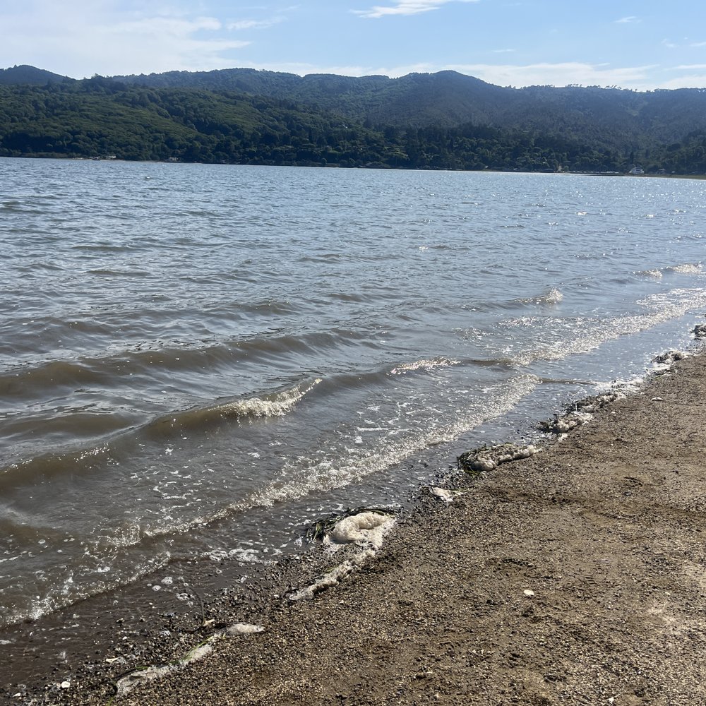
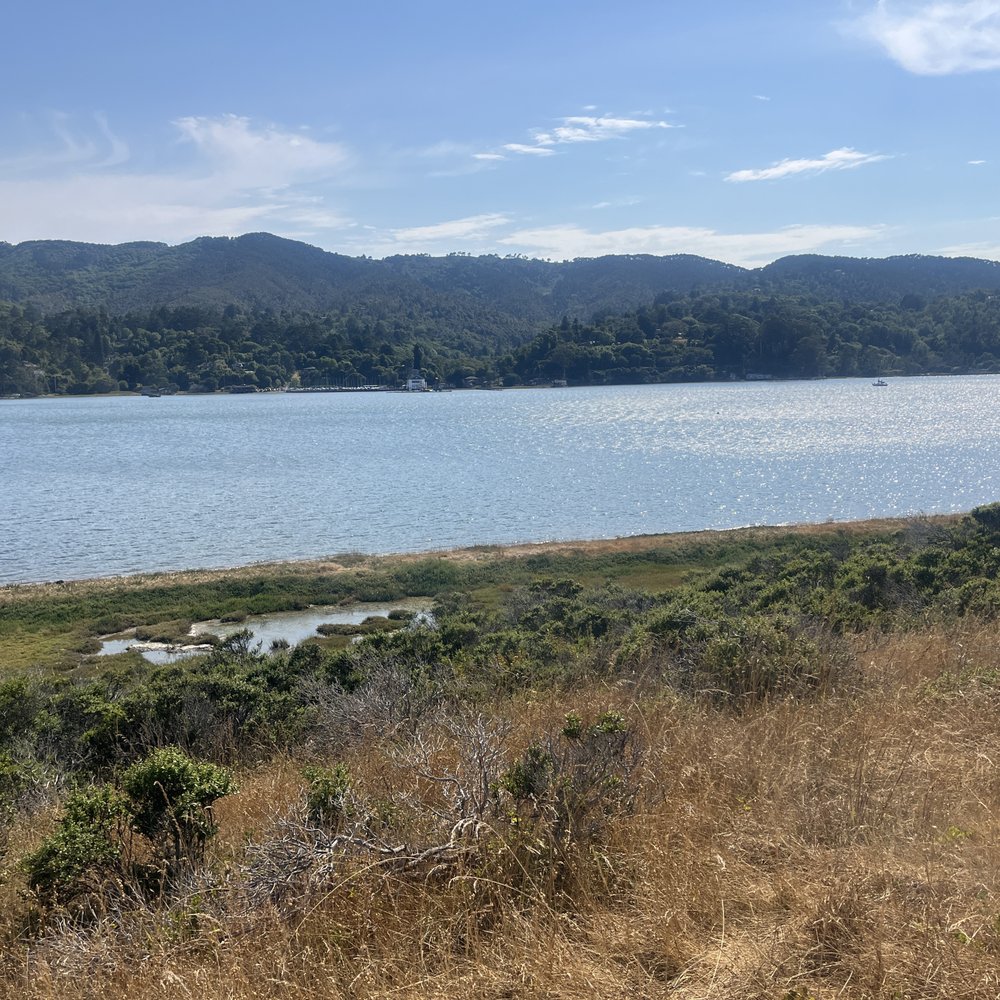
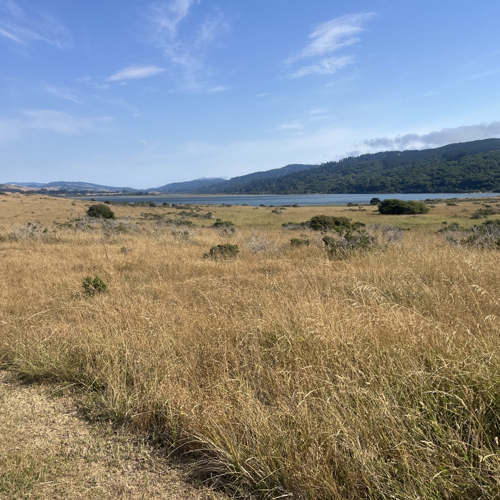
    Great spot for a hike along the tomales bay or a swim overlooking Pt Reyes.

    Helpful 1
    Thanks 0
    Love this 1
    Oh no 0

    Ask the Community - Millerton Point

    You might also consider

    Tomales Bay Trail

    Tomales Bay Trail

    3.6(7 reviews)
    2.3 mi

    Half these reviews are of the wrong place. There's the Tomales Bay Trail and the Tomales Point…read moreTrail which sound very similar so it's easy to get them mixed up but they are completely different places. The Tomales Point Trail is much farther out and the hike is in view of the ocean and features Tule Elk. That place is: https://www.yelp.com/biz/tomales-point-trail-tule-elk-preserve-inverness?osq=tomales+trail The Tomales Bay Trail is right outside of Point Reyes Station off the Shoreline freeway. The trail is about 2.5 miles and takes a little over an hour. Since it's so close to Point Reyes Station it's nice to go here if you are looking for a shorter hike and not wanting to go all the way out to the seashore or do a long Bear Valley trail. The trail is easy passing by two lagoons or ponds and views of the Inverness mountain in the background. Lots of wildflowers in the spring! Lots of birds, not always in eyesight but I could hear them everywhere. I kept seeing a black bird with a bright red markings, not sure what type of bird this is but it was pretty. There is no shade, most of the time this isn't an issue since Point Reyes is naturally cool or foggy but on a sunny day this can really creep up on you.

    For years now I've driven by the Tomales Bay Trailhead and been consistent in remarking that "I…read morewant to hike that". I finally did, and when I'd almost fully back-tracked to my car I said "Well, done that. Don't need to do that again". I got home and told my son I'd hiked this nothing-burger trail. At first he didn't know which trail I was talking about then he was struck with a sudden recognition. "You're right" he said, "that's a nothing-burger". There's nothing wrong with his trail aside from there not being much to it. Parking at the trailhead is easy and free in a small lot. After going through numerous gates designed, I believe, to keep the cows in, hikers are presented with attractive views of Tomales Bay and the surrounding wetlands. The trail is neither challenging, steep, nor long but if you want to make it as long as possible head out to the end of the peninsula. Reach the end of that and return the way you came and you'll log a bit under 3.5 miles total. There's no looping here so backtracking is your sole option. Dogs aren't permitted though nobody appears to be checking. If you've also been driving by this trailhead for a long time know that crossing it off your own bucket list won't eat up too much of your day so you might as well. Pretty, easy, and short make this a worthy place to work off a few calories before heading further north for, perhaps, that platter of Hog Island oysters that's got you on this road in the first place.

    Photos
    Tomales Bay Trail - 9/2024

    9/2024

    Tomales Bay Trail - 9/2024

    9/2024

    Tomales Bay Trail - 9/2024

    See all

    9/2024

    Alamere Falls - Point Reyes National Seashore - Honeysuckle  on the trail of Alamere Falls

    Alamere Falls - Point Reyes National Seashore

    4.6(565 reviews)
    11.3 mi

    People who have never been to Oregon will tell you that this is one of only two tidefalls (a…read morewaterfall that flows into the ocean) on the entire West Coast. People who believe AllTrails will tell you that this is one of only two tidefalls in California. (If you use Alltrails, you aren't allowed to hike with me, by the way.) Neither of these statements are anywhere close to true. As a matter of fact, there are at least two tidefalls on this one beach, and there are many more in areas that are not easily accessible to the public. Tidefalls are common along the coasts of Oregon, Washington, and Canada. There are several tall tidefalls in Cape Perpetua alone. That being said, Alamere Falls might be the biggest, prettiest publicly accessible tidefall in Northern California. I recently hiked Alamere Falls for the first time in nearly ten years, and I couldn't believe how much had seemed to change. First of all, the road to the Palomarin trail was hell in a compact vehicle. Even going like two miles per hour, I got a little motion sickness from the thousands of deep potholes. The road is so bad that it almost seems beyond repair. At this point, it's probably only suitable for high clearance vehicles, although I did not notice any signs warning of such. Secondly, I'm pretty sure I was the only sober person on the trail. The vibes were so, so weird. Consider packing your (legal) weapon of choice. Thirdly, I was certainly the only person to take the 'legal' trail down, although I gained some new perspective on this. While the trail that I took is ostensibly the trail recommended by NPS, one does have to wonder why it is so overgrown. It feels like, "Obviously, no one ever really hikes this trail," because it's nowhere near clear or well-trodden. Certain areas of the trail were so overgrown that it was impossible to see my feet, and difficult to find my footing. These areas were chalk full of poison oak, stinging nettle, poison hemlock, and a wide variety of (harmless) snakes. By contrast, much of the "social" trail was four feet wide, flat, and clear. Which made me wonder-- which trail is really safer? The cliffs at the end of the social trail are constantly crumbling. The risk of falling, breaking a leg, or at least spraining an ankle, seems high. But by contrast, the risk of spraining an ankle on the recommended trail seems high, too. And the stinging nettle hurt a lot, but only for a few hours. My personal recommendation is to take the recommended trail, but wear solid boots, long pants, and tall, colorful socks. Tuck your pants into your socks, or wear gaiters. Use permethrin or your tick repellant of choice. While the official Palomarin Trail may be very long and difficult, it's also worth the trouble. The ocean views and wildlife were unbelievable. I actually saw a mother deer nursing two spotted fawns in the middle of the trail. On the beach, I found agates, fossils, shells, giant bull kelp, snowy plovers, and lots of by-the-wind-sailors jellyfish in multiple stages of life and decomposition. The waterfall itself is pretty-- but make sure to check the tide!! I never do, and I almost always get stranded. The first time I ever hiked this trail, I actually had to climb up a cliff in terror and wait 3 hours for the tide to recede. But that doesn't need to happen to you if you remember to check the tide before you come out, while you still have service.
    Wow--absolutely spectacular, magical, and truly epic!…read more Alamere Falls is one of the most breathtaking hidden gems along the California coast, tucked inside Point Reyes National Seashore. What makes it so special is that it's a rare "tidefall," where the waterfall flows directly into the ocean--something you can only see in a couple of places in California, including McWay Falls. Watching the water cascade over the rugged shale cliffs onto the beach below is simply unforgettable. The surrounding landscape feels wild and untouched, adding to the sense of adventure. Upstream, the smaller cascades create a beautiful lead-up to the main falls, making the entire hike feel like a journey through nature's artwork. This spot is not just a destination--it's an experience. From the scenic hike to the dramatic ocean views, every moment feels rewarding. If you're looking for something unique, peaceful, and awe-inspiring, Alamere Falls absolutely delivers.

    Photos
    Alamere Falls - Point Reyes National Seashore - Top of the falls

    Top of the falls

    Alamere Falls - Point Reyes National Seashore
    Alamere Falls - Point Reyes National Seashore - Eucalyptus Grove at beginning of the trail

    See all

    Eucalyptus Grove at beginning of the trail

    Point Reyes National Seashore - Tomales Point Trail - Tule Elk Preserve, Point Reyes National Seashore

    Point Reyes National Seashore

    4.7(408 reviews)
    5.2 mi

    What a somewhat hidden gem! Definitely lesser traveled than a lot of other NPS places. When we…read morewent, in the beginning of July, it was cold and windy - about 55F but with windchill. I ended up buying a sweater at the visitor's center and used it during the entire trip! Our itinerary included the Bear Valley Visitors Center, Chimney Rock, Elephant Seal Overlook, Lighthouse, Drakes Beach, Cypress Tree Tunnel, then back to the Bear Valley Visitors Center. The entire trip took about 6.5 hours - it was great! The visitors center was clean, well-stocked, and informative. Bathrooms on the outside, plenty of parking. Inside there's a shop with lots of goodies including clothing, totes, stickers/pins, first aid supplies, and more typical goodies. Rangers were very friendly and informative. Lots of interactive displays as well. Chimney Rock was a quick hike. There's a bathroom and a bench or two at the trailhead. We thought the hike was pretty easy. Lots to see including wildflowers, bugs, birds, and deer! Plus, the view at the end is gorgeous, and there's a geological stamp there too. No elephant seals at the overlook, but it's not peak season, so we weren't expecting any. The lighthouse was a nice surprise! According to the website, it should have been closed on a Tuesday, but the ranger told us that summer hours are different, and it was open! We went to the small visitors center, then walked the 313 steps down to see the lighthouse. It was super windy. There are several rest points along the staircase in case folks need it. While we couldn't climb into the lighthouse, we could go inside and peak around, which was pretty cool. There was a ranger there who answered questions, and we saw some people looking for whales. Drakes Beach was gorgeous. We ended up staying for about 1.5 hours because the kids had so much fun digging in the sand and watching crabs scurry along the beach. There was barely anyone else there, so we had a huge part to ourselves. And there are a bunch of sand dollars! That was so cool to see. Most of them were cracked, but occasionally we saw some whole ones. The visitors center here was closed, but looked like it was well-stocked with unique goodies. Bathrooms were open, big, and clean. Cypress Tree Tunnel was every bit as beautiful as I've seen in photos. Quite a few people there walking the tunnel and taking photos. The boys earned their Junior Ranger badge at the end of the visit. And we got our stamps! Fun times - we'll definitely be back!

    How fortunate we are to have Point Reyes National Seashore. The headquarters is fantastic- maps,…read morerecommendations, nice restrooms & plenty of free parking. Today we chose the Bear Valley hike trail. The path is wide and mostly flat and even includes a bathroom midway. As you walk you are able to hear the beautiful sounds of the babbling brook along the route. Being late Spring we were able to spot a good amount of wildflowers- buttercups, poppies, bleeding heart, foxglove and more. We encountered several equestrian's throughout our hike.

    Photos
    Point Reyes National Seashore - Tomales Point Trail - Tule Elk Preserve, Point Reyes National Seashore

    Tomales Point Trail - Tule Elk Preserve, Point Reyes National Seashore

    Point Reyes National Seashore - Tomales Point Trail - Tule Elk Preserve, Point Reyes National Seashore

    Tomales Point Trail - Tule Elk Preserve, Point Reyes National Seashore

    Point Reyes National Seashore - Tomales Point Trail - Tule Elk Preserve, Point Reyes National Seashore

    See all

    Tomales Point Trail - Tule Elk Preserve, Point Reyes National Seashore

    Tomales Point Trail - Tule Elk Preserve - Tomales Point Trail - Tule Elk Preserve

    Tomales Point Trail - Tule Elk Preserve

    4.8(136 reviews)
    8.1 mi

    This was my third attempt hiking this trail but I still didn't finish it. Next time! The first time…read moreI went (like 10 years ago!) there was a sign about mountain lion sightings so I didn't hike. I was there very early and alone. The second time John was with me but we didn't go very far. This time we planned on hiking half way because it was an unplanned trip and we didn't have our normal hiking equipment (the right shoes, clothes, water bladder, etc). However, just two miles in is enough to show how amazing this trail is! The views are out of this world. Like heaven on earth. We encountered tons of wildflowers and Tule Elk. They were so close to us that we had to wait for them to move so that we could continue on the trail. When we got to our planned two mile mark, we both wanted to keep going. Despite the steep inclines in a few parts, the trail is quite easy--at least for the first two miles in. But we decided to turn around and promised we would return and finally complete this amazing trail. Now I know why this trail is one of the top most popular trails in the Bay Area.

    This is my first time doing this hike. But my second time to Point Reyes. I went with the group of…read morepeople that I've hiked with a few times. I would say overall the hike is moderate level only because of the distance and there are times that you're walking through sand, which makes it a little harder. There are some inclines so you do go up and down a couple times, but those are doable especially if you've ever hiked in the mountains with steep inclines. Out and back trail that took us 9.8 miles with scenic views of the Pacific Ocean, which was incredible. We got there early so parking was a non-issue. However, when we were leaving the lot was full, and people were parking along the roadway.

    Photos
    Tomales Point Trail - Tule Elk Preserve - Tomales Point Trail - Tule Elk Preserve

    Tomales Point Trail - Tule Elk Preserve

    Tomales Point Trail - Tule Elk Preserve - Tomales Point Trail - Tule Elk Preserve

    Tomales Point Trail - Tule Elk Preserve

    Tomales Point Trail - Tule Elk Preserve - Tomales Point Trail - Tule Elk Preserve

    See all

    Tomales Point Trail - Tule Elk Preserve

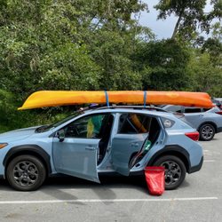
    Tomales Bay State Park - Paddling done and packing up!

    Tomales Bay State Park

    4.0(55 reviews)
    6.2 mi

    Did a moderate 3 mile hike here in early fall. I've been around this body of water many times but…read moremostly as drives around and maybe an occasional picnic on one of it's corners. You can probably drive around the whole bay from Inverness to Marshall in about 30 minutes. My hike because I went with the gps due to my first time, started in the northern corner of the bay just outside of Inverness, so the road is on top of the hills and you can wind on down to water level. Over by Marshall you will already be at water level. This corner also has a popular beach destination where people can swim, kayak, picnic etc called Heart's Desire Beach. From the highway one up top it'll take about 10 minutes on a windy road to reach the beach. My hike started up on top and worked its way down to the water, mostly on single track trail through heavily brushed forest in the hills. No crazy great views until you get nearer the water when you start to see deep blue hues. Once down at the water I took a break on another, but much smaller beach called Pebble Beach. Just sat on a log and absorbed the peacefulness while I rehydrated. There were no one on this beach but I could see decent activity from Heart's Desire Beach about a quarter mile away. Now that I know the general terrain here, next time I'm going to park at Heart's Desire parking lot and climb up, then descend on the way back. On this trip I went down first then had to climb 700 hundred feet or so, so all the sweating was on the tail end. I prefer the former, and that way when done I can just relax and have a picnic on the beach. Lesson learned. Still a solid 4* outing.

    After a bit of a drive we found this SP to be disappointing. We were looking for hiking trails over…read morebeach access. Unfortunately, we couldn't even find the overgrown trails. Left after getting out of the car in two different areas trying to find a starting point. Save yourself the drive. No attendant to ask for assistance.

    Photos
    Tomales Bay State Park - From the forest to Pebnle Beach.

    From the forest to Pebnle Beach.

    Tomales Bay State Park - Kayak rentals at Hearts Desire Beach

    Kayak rentals at Hearts Desire Beach

    Tomales Bay State Park - The slough area north of the beach

    See all

    The slough area north of the beach

    Millerton Point - hiking - Updated July 2026

    Loading...
    Loading...
    Loading...