St. Mary's River State Park Photos


You might also consider

More like St. Mary's River State Park
Recommended Reviews - St. Mary's River State Park
Start your review...



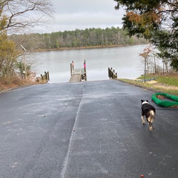
This is a beautiful state park. The 7.5 mile trail is flat, spacious and beautiful. Unfortunately, we only had time to do 1.5 miles round trip. We turned around 30 minutes in walking with our Aussie dog. But we got to the end of the dam and it was beautiful! We hiked the first weekend of January so some parts was a little muddy. But it wasn't too bad. The only thing I wished this park had was running toilets. I believe it was only an outdoor porta potty. But then again, we didn't do the entire trail, so I might be wrong. Parking is $3/car for in-state (Maryland) cars and $5/car for out-of-state. read more


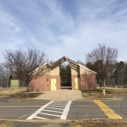
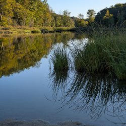
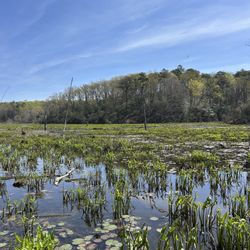
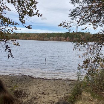
Saint Mary's Lake Loop was awesome! This is a 7.2 mile loop trail that goes around a smaller, murky but very pretty lake. The trail is well-worn, gravel, mud, dirt, lots of tree roots, moss and great little foot bridges here there. The path peeks out of the woods for a view of the lake only two or three times. There isn't really any shoreline but I'm not sure I'd swim or wade in this lake. Anyways, I'm reviewing the trail here, since I'm not much of a watercraft or fishing person. We did see kayaks and canoes out on the lake. The small parking lot is new, and we assume so is the fully equipped washroom/toilet building. Fresh water is available from a dispenser there. Nice! Zero shade for parked cars though, which I've always thought was weird in any car park. There are extra long and easy park spots for trailering. There's a small boat launch and dock. Locals suggested we use the trail between May and October, but to beware of the usual forest nasties like ticks, horseflies, mozzys and other biting critters and snakes. We saw lots of tiny frogs, turtles, birds and squirrels. We went on a Sunday and crossed paths with 3 cyclists, 4 pedestrians, 2 dogs and horse prints along the trail. Dogs are allowed on leash. The trail was super clean, no litter or dog poop along the way. Loved the hike! Took us about 2h45min to complete the loop. Bring your debit/credit card for the automated entry gate: $5 out of state, and $3 in state. Worth it!!! read more


Went here on a Sunday afternoon and was sadly disappointed that my state park passport that I paid $75 for wasn't accepted at the entrance when I put in the passport number so we had to pay the $3 parking fee which was inconvenient. The trail itself was very pleasant with some cleaning that could be done due to the debris along the already root-filled path. The views were amazing the entire time with scenes of the lake visible throughout most of the hike which beats any monotony one may experience as a hiker on covered trails. Plenty of parking spaces available with areas for outdoor dining right near the water which would be nice in better weather than November. All in all, a good trail for people of all fitness levels that I wish the state park passport issue could be worked out. read more




11 years ago