Vasquez Rocks Natural Area Park Photos


You might also consider


More like Vasquez Rocks Natural Area Park
Recommended Reviews - Vasquez Rocks Natural Area Park
Start your review...


Reviews With Photos


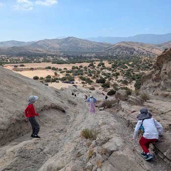
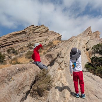
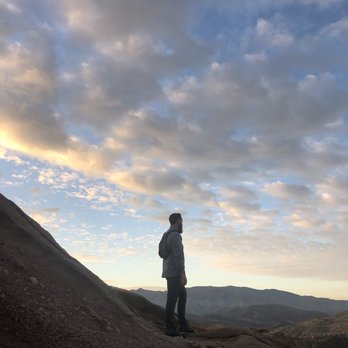
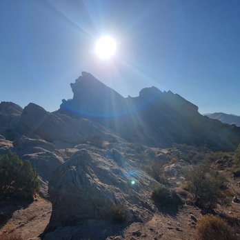
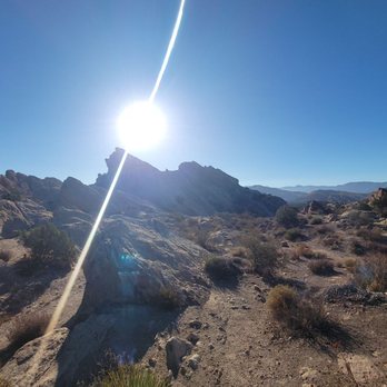
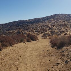
As have been millions of other hard-working federal employees in this country, I've been incredibly frustrated, working non-stop for more than a month, while NOT GETTING PAID a single penny. (For anyone unaware, this was the longest government shutdown in American history.) In the meantime, my mortgage, utility bills and all other bills just kept rolling in, demanding my attention. I am certainly not a rich man, so I kept finding myself asking the question: "how long can I survive without any income whatsoever?" Also during this time, daily, I had been watching our country's leaders act like children, blaming each other while being completely incapable of doing the one job we have asked them to do...lead our country. Needless to say, I was in dire need of a distraction. That was it; I was literally going to "take a hike." I needed to clear my mind by physically demanding more from my body, hoping to remove some of the toxic chemicals and negative thoughts in my brain while increasing my endorphins. I did a quick search on some nearby hikes that weren't too demanding while being visually rewarding as well. I then decided to hike through the Vasquez Rocks Natural Area (Agua Dulce, California). I told my daughter about my plan and she was excited to hike along with me. Hiking at the Vasquez Rocks Natural Area is as easy or as hard as you want it to be. On the easy end of the spectrum, you can literally drive directly to "The Famous Rocks" and see beautiful scenery right next to you without ever leaving your car. My daughter and I chose a hike that was more demanding and rewarding, hiking what some call the "Vasquez Rocks Trail," which consisted mostly of "The Apwinga Loop Trail" and other smaller trails. At the end of our hike, we then hiked up one side of "The Famous Rocks" and then down the opposite side. Parking here was free, which was good for someone like me, with ZERO income. This hike was just what I needed to clear my mind too. Not only was it beneficial for me personally, but I also loved having this adventure, spending quality time with someone I love. I highly encourage you to check this place out for your next hike, especially if you want to see some beautiful and famous desert scenery. If you'd like more details on my personal journey, check out my pictures, the map/image of the path we took, and my videos, some of which are attached to this review. Finally, for my PSA: Whenever I go on a hike I always bring (at the very least): lots of water, a hat, sunscreen (yes, even in November), appropriate attire, a walking stick, ID, and a fully charged cellphone. I would also advise that you use a hiking cellphone app, two good ones of which are the "Trails LA County" app, and the "AllTrails" app (which is my favorite). I also always bring a companion and/or tell other folks where I am going.


I went to Vazquez Rocks recently. It was nice. I explored several trails. I'd recommend one give themselves several hours to fully explore the area.


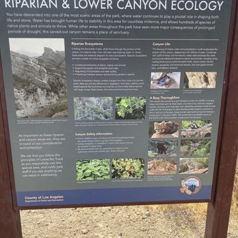
Free to enter, stunning park with a rich history. One can even experience the beauty by just driving to one of the many parking lots each with another unique back drop. Port a potties were port a plenty! And I found some Filming and Photography rules posted there lol (see attached pic I posted.)


nice "easy" hike. Good to get out and hit the trail on. It can be easy to get lost so be cautious about the directions you take or just let your partner lead the way to blame if the route ends up being incorrect, lol. Very scenic. Peaceful hike.


What a hidden gem! This park is giving baby Joshua Tree vibes in the best way! With great views, well-marked trails, plenty of scrambling and hiking opportunities, plus an awesome interpretive center (with real bathrooms and a cool gift shop!), not too mention its super close to the Santa Clarita area, Vazquez Rocks is a great bang for your buck. I have thoroughly enjoyed my afternoon hikes here and think it's a great place to bring out-of-towners without having to drive too far from LA or climb up a dangerous mountain. I find that the longest loop is the most scenic and provides enough of a moderately steep incline to get your steps in and get your blood going! 10/10 recommend.
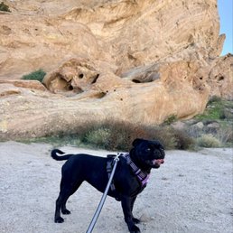

Nice large open space for hiking g and walking the dogs. Plenty of free parking. Different activities are offered various times during the year.


This is such an amazing place! Vasquez Rocks Natural Area Park is HUGE (a 932-acre park) located in the Sierra Pelona Mountains. There's lots of hikes, camping, the staff at the info center are really great & informative and a cool tidbit is there's a rich Hollywood history - TV & movies filming here (John Wayne, Lone Ranger, Blazing Saddles, Planet of the Apes, Flintstones, etc)! Only 30-40 min from LA and a really great day experience! FYI: stick to the trails and bring plenty of water!


This is a beautiful area with a lot of parking! The majority of the paths we took were fairly flat, though with loose sand terrain. I found it similar to walking on a beach. There is a small picnic area as well as a lovely visitor area just to the right of the entrance. There are fully accessible bathrooms and air conditioning in this visitor center, as well as maps. Be prepared - there is little to no shade. Make sure to bring plenty of water and sunscreen!


So gorgeous. So much has been invested in this county park. A gorgeous place to visit and hike.


We love this area. The rocks are awesome and lots of parking close to the most popular areas. Our dogs loved it as much as we did but note that the trails are not always as well marked as I wanted to navigate around.


This place is beautiful. Crazy how something could be so close but you never had the chance to experience it. Well, this was one of them. Just going for the scenery alone is worth it. Just a little drive from the 14 fwy and yours instantly welcome into a whole different setting. The beautiful rocks formations and many hiking trails. Park does close at a certain time and parking can be limited. I believe there was a lot at the beginning, one along the road and then a there a main one towards the middle of the area. The trails are marked and pretty easy. The rocks are steep but manageable. Juts be cautious when climbing them. But once on top, the view is amazing. It does get pretty busy. A nice little day outing, hiking and so on. I remember seeing post of many wedding, engagement and photo sessions happening here. A beautiful place if you haven't been.


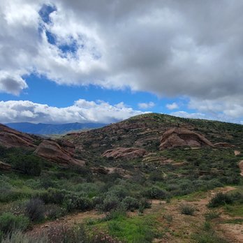
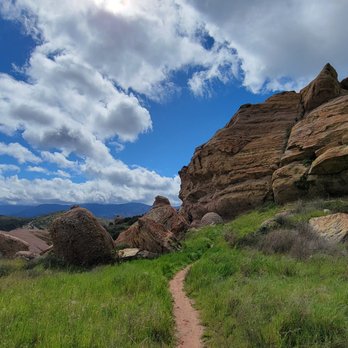
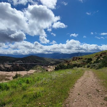
This review is for Vasquez Rocks Trail which was a ~3.3 miles round trip that took ~1.5 hours to complete. Trail was wide for the most part with some narrow sections. A few steep inclines throughout the trail. Follow the trail posts! Stunning views from beginning to end! Free parking inside the park or outside on the street. If you're lazy to walk a short distance to the rocks, you can actually park next to the rocks. Short video of the hike for those interested! https://youtu.be/LV29ErBaZUM


Thank you, Natalie D! I wouldn't have known about this nature park if not for her awesome photos. It is located near the town of Agua Dulce, between the cities of Santa Clarita and Palmdale. I love visiting filming locations so we went for a drive, some 45 miles north of L.A. The park is famous for its rock formations and is a popular hiking and picnicking area. There is a wooden bulletin board near the beginning of the Nature Heritage Trail with photos of the scenes used for backdrops of movies (old and more recent) but it has also been used in TV shows, commercials, music videos and even video games. We did not do any hiking climbing at this time. Here is a short list of movies and TV shows: Over 60 films used the rock formations as their backdrop in scenes: Alpha Dog (2007) Apache (1954) Austin Powers: International Man of Mystery (1997) Bill & Ted's Bogus Journey (1991) Blazing Saddles (1974) Dracula (1931) The Flintstones (1994) Holes (2003) Joe Dirt (2001) John Carter (2012) Little Miss Sunshine (2006) Mighty Morphin Power Rangers: The Movie (1995) The Muppet Movie (1979) My Stepmother Is an Alien (1988) Nickelodeon (1976) Planet of the Apes (2001) Star Trek (2009) Star Trek Into Darkness (2013) Star Trek IV: The Voyage Home (1986) The Ten Commandments (1956) Over 100 TV Shows: 24 The A-Team The Bionic Woman Bonanza Buffy the Vampire Slayer CSI: Crime Scene Investigation Fantasy Island JAG Kung Fu Logan's Run The Lone Ranger MacGyver The Outer Limits (1963-65) The Rat Patrol The Wild Wild West Twilight Zone Zorro During our visit we saw two couples taking professional shots for prom. The hiking experience will have to be another time when we're more prepared with proper clothing and shoes. Pets are allowed but they have to be on a leash. Also, visit the Interpretive Center for interesting reads. Review #2956


FUN rock scrambling at almost 45 degrees! It was slightly out of the way on our drive to LA but I wanted to come here for a long time. A lot of movies, music videos, and TV have been filmed here, often to depict otherworldly alien landscape, it was in a couple episodes of Star Trek and the gift shop has some Star Trek related merchandise. You can park right next to the famous rocks and go climbing up, this is my favorite type of park since there are no guardrails or fences, you can go where you want. Be careful though, the ranger told us the week before we went someone got scared coming down and broke their ankle and had to be airlifted out, remember it's always easy to climb up than it is to climb down. Toward the back of the famous rocks are some nice boulders and a hike you can go on, some of these rocks look like animals or faces and is worth checking out if the famous ones are too crowded. The witches hat is a bit hard to find but go to the visitor center and it's walkable from there. The rangers can help you find it, there are also animals in the different sheds you can check out. read more

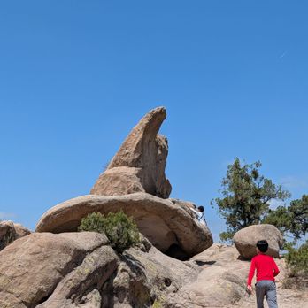


Came on a weekday afternoon. They have four parking lots. Free entry, free parking. Place was not busy at all. The trails were not clearly marked. The Nature Heritage Trail was pretty straightforward and easy. Was recommended by the staff on the Bobcat Trail. The Bobcat Trail wasn't hard and the view was amazing. Recommend hiking shoes if you do the Bobcat Trail. Also, recommend wearing long pants and closed toe shoes. There were narrow trails and bushes that could cut skin. There were a few picnic tables. Trails were not shaded. The Interpretive Center was small, but pretty cool as they had a very active snake on display. Overall, great place to hike. They have different trail lengths. Would come back. read more

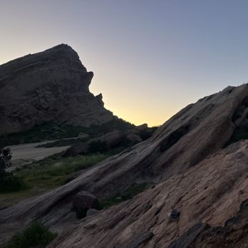


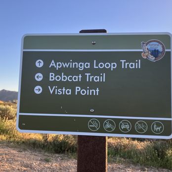


7 months ago
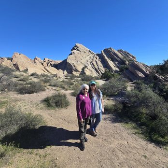
Hidden little gem for you your friends and family to come down and check out. On-site staff at the main Center are super sweet and answer any and all questions that you have and you additionally get an opportunity to see some of the local wildlife up close. For the most part trails are pretty flat however, rocky and uneven ground in certain parts so make sure to wear sturdy shoes. I'd recommend taking a backpack with some water, pack a few snacks, or even a sack lunch to enjoy while on the trail. And most importantly make sure to take your trash out with you. read more




9 days ago

As have been millions of other hard-working federal employees in this country, I've been incredibly frustrated, working non-stop for more than a month, while NOT GETTING PAID a single penny. (For anyone unaware, this was the longest government shutdown in American history.) In the meantime, my mortgage, utility bills and all other bills just kept rolling in, demanding my attention. I am certainly not a rich man, so I kept finding myself asking the question: "how long can I survive without any income whatsoever?" Also during this time, daily, I had been watching our country's leaders act like children, blaming each other while being completely incapable of doing the one job we have asked them to do...lead our country. Needless to say, I was in dire need of a distraction. That was it; I was literally going to "take a hike." I needed to clear my mind by physically demanding more from my body, hoping to remove some of the toxic chemicals and negative thoughts in my brain while increasing my endorphins. I did a quick search on some nearby hikes that weren't too demanding while being visually rewarding as well. I then decided to hike through the Vasquez Rocks Natural Area (Agua Dulce, California). I told my daughter about my plan and she was excited to hike along with me. Hiking at the Vasquez Rocks Natural Area is as easy or as hard as you want it to be. On the easy end of the spectrum, you can literally drive directly to "The Famous Rocks" and see beautiful scenery right next to you without ever leaving your car. My daughter and I chose a hike that was more demanding and rewarding, hiking what some call the "Vasquez Rocks Trail," which consisted mostly of "The Apwinga Loop Trail" and other smaller trails. At the end of our hike, we then hiked up one side of "The Famous Rocks" and then down the opposite side. Parking here was free, which was good for someone like me, with ZERO income. This hike was just what I needed to clear my mind too. Not only was it beneficial for me personally, but I also loved having this adventure, spending quality time with someone I love. I highly encourage you to check this place out for your next hike, especially if you want to see some beautiful and famous desert scenery. If you'd like more details on my personal journey, check out my pictures, the map/image of the path we took, and my videos, some of which are attached to this review. Finally, for my PSA: Whenever I go on a hike I always bring (at the very least): lots of water, a hat, sunscreen (yes, even in November), appropriate attire, a walking stick, ID, and a fully charged cellphone. I would also advise that you use a hiking cellphone app, two good ones of which are the "Trails LA County" app, and the "AllTrails" app (which is my favorite). I also always bring a companion and/or tell other folks where I am going. read more

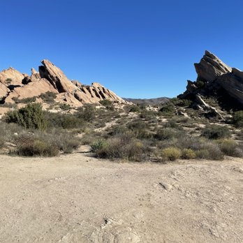


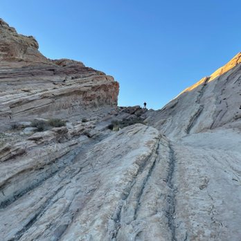


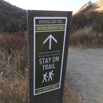


Free to enter, stunning park with a rich history. One can even experience the beauty by just driving to one of the many parking lots each with another unique back drop. Port a potties were port a plenty! And I found some Filming and Photography rules posted there lol (see attached pic I posted.) read more


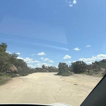

nice "easy" hike. Good to get out and hit the trail on. It can be easy to get lost so be cautious about the directions you take or just let your partner lead the way to blame if the route ends up being incorrect, lol. Very scenic. Peaceful hike. read more




1 year ago
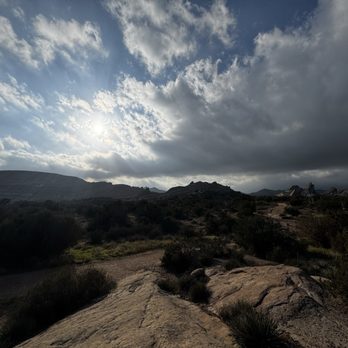
What a hidden gem! This park is giving baby Joshua Tree vibes in the best way! With great views, well-marked trails, plenty of scrambling and hiking opportunities, plus an awesome interpretive center (with real bathrooms and a cool gift shop!), not too mention its super close to the Santa Clarita area, Vazquez Rocks is a great bang for your buck. I have thoroughly enjoyed my afternoon hikes here and think it's a great place to bring out-of-towners without having to drive too far from LA or climb up a dangerous mountain. I find that the longest loop is the most scenic and provides enough of a moderately steep incline to get your steps in and get your blood going! 10/10 recommend. read more



1 month ago

7 months ago

9 months ago
Nice large open space for hiking g and walking the dogs. Plenty of free parking. Different activities are offered various times during the year. read more
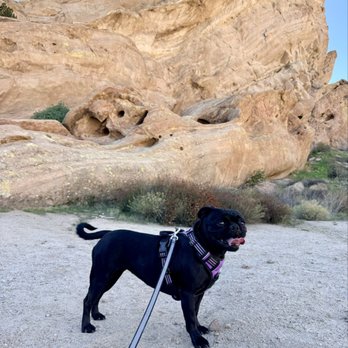

This is such an amazing place! Vasquez Rocks Natural Area Park is HUGE (a 932-acre park) located in the Sierra Pelona Mountains. There's lots of hikes, camping, the staff at the info center are really great & informative and a cool tidbit is there's a rich Hollywood history - TV & movies filming here (John Wayne, Lone Ranger, Blazing Saddles, Planet of the Apes, Flintstones, etc)! Only 30-40 min from LA and a really great day experience! FYI: stick to the trails and bring plenty of water! read more





5 months ago

2 years ago
This is a beautiful area with a lot of parking! The majority of the paths we took were fairly flat, though with loose sand terrain. I found it similar to walking on a beach. There is a small picnic area as well as a lovely visitor area just to the right of the entrance. There are fully accessible bathrooms and air conditioning in this visitor center, as well as maps. Be prepared - there is little to no shade. Make sure to bring plenty of water and sunscreen! read more


2 years ago
So gorgeous. So much has been invested in this county park. A gorgeous place to visit and hike. read more




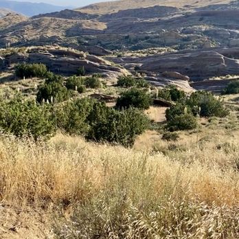
This place is beautiful. Crazy how something could be so close but you never had the chance to experience it. Well, this was one of them. Just going for the scenery alone is worth it. Just a little drive from the 14 fwy and yours instantly welcome into a whole different setting. The beautiful rocks formations and many hiking trails. Park does close at a certain time and parking can be limited. I believe there was a lot at the beginning, one along the road and then a there a main one towards the middle of the area. The trails are marked and pretty easy. The rocks are steep but manageable. Juts be cautious when climbing them. But once on top, the view is amazing. It does get pretty busy. A nice little day outing, hiking and so on. I remember seeing post of many wedding, engagement and photo sessions happening here. A beautiful place if you haven't been. read more


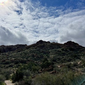


This review is for Vasquez Rocks Trail which was a ~3.3 miles round trip that took ~1.5 hours to complete. Trail was wide for the most part with some narrow sections. A few steep inclines throughout the trail. Follow the trail posts! Stunning views from beginning to end! Free parking inside the park or outside on the street. If you're lazy to walk a short distance to the rocks, you can actually park next to the rocks. Short video of the hike for those interested! https://youtu.be/LV29ErBaZUM read more





1 year ago

Thank you, Natalie D! I wouldn't have known about this nature park if not for her awesome photos. It is located near the town of Agua Dulce, between the cities of Santa Clarita and Palmdale. I love visiting filming locations so we went for a drive, some 45 miles north of L.A. The park is famous for its rock formations and is a popular hiking and picnicking area. There is a wooden bulletin board near the beginning of the Nature Heritage Trail with photos of the scenes used for backdrops of movies (old and more recent) but it has also been used in TV shows, commercials, music videos and even video games. We did not do any hiking climbing at this time. Here is a short list of movies and TV shows: Over 60 films used the rock formations as their backdrop in scenes: Alpha Dog (2007) Apache (1954) Austin Powers: International Man of Mystery (1997) Bill & Ted's Bogus Journey (1991) Blazing Saddles (1974) Dracula (1931) The Flintstones (1994) Holes (2003) Joe Dirt (2001) John Carter (2012) Little Miss Sunshine (2006) Mighty Morphin Power Rangers: The Movie (1995) The Muppet Movie (1979) My Stepmother Is an Alien (1988) Nickelodeon (1976) Planet of the Apes (2001) Star Trek (2009) Star Trek Into Darkness (2013) Star Trek IV: The Voyage Home (1986) The Ten Commandments (1956) Over 100 TV Shows: 24 The A-Team The Bionic Woman Bonanza Buffy the Vampire Slayer CSI: Crime Scene Investigation Fantasy Island JAG Kung Fu Logan's Run The Lone Ranger MacGyver The Outer Limits (1963-65) The Rat Patrol The Wild Wild West Twilight Zone Zorro During our visit we saw two couples taking professional shots for prom. The hiking experience will have to be another time when we're more prepared with proper clothing and shoes. Pets are allowed but they have to be on a leash. Also, visit the Interpretive Center for interesting reads. Review #2956 read more

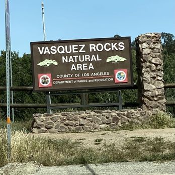
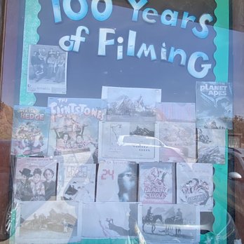

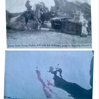
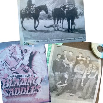



3 years ago
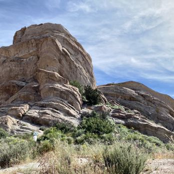
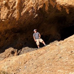
Stopped by on 09/16/23 for the first time. I've actually never heard of this place before surprisingly and after googling this place, this is a very well-known and popular filming spot for notable movies such as Star Trek! Remember to bring a hat and comfy hiking shoes. Also water and sun screen! The trails are a bit difficult to navigate as there are multiple different pathways to select. There is also a very intriguing cave that we hiked towards to and a smaller cave embedded inside this seemingly larger cave (not sure what's inside but it was pretty dark and deep). Overall this is a great place to get your steps in, explore the spectacular area, and to take pics! read more




3 years ago
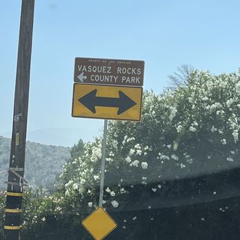
This is such a fun place to experience nature's beauty not too far from suburban life. Located about 25 minutes from Santa Clarita off the 14 freeway, this park has free parking and lots of hiking and sight seeing options. The rock formations look like a water valley was here thousands of years ago. For the adventurous hiking type, there are a few trails climbing up rocks with crazy cool views. It is fun for the kids to climb in little caves or simply play with the sand and take it all in. Our kids woke up the next day asking to go back! read more


1 year ago

1 year ago


Beautiful here! Came on a clear Sunday afternoon and there were a good number of cars parked here but this place is big enough to separate from other people. It was fun exploring and the scenery is just beautiful! This is a family friendly, dog friendly, people friendly National Park. It's a popular photography spot too so don't be surprised if you see girls in shorts and cowboy boots for their insta pic or photographers coming in taking couple pics. You can still find a spot of seclusion and serenity. I know this because we found a peaceful area to sit and relax. Our old Yorkie needed a nap, at almost 15 years old, he let's me know when it's "nap on mama's lap time" so he forces me to take breaks and enjoy while he catches up on some senior dog rest. I can see why this is/was a popular area for film (Trekky anyone?) Because you do feel like you're far away from civilization but in actuality, residential/ranches can be seen in the distance. Ample parking, adequate exploration and overall lovely & clean National Park that almost feels otherworldly. read more


PARKING: You have multiple options. There is a parking area by the nature center (currently closed) and a couple parking areas by the rocks / trails. When you arrive, go left toward the rocks (the nature center will be on the right) and keep going toward the end. You will find ample parking (with portable toilets nearby). HIKING: Many people come here just to explore the rocks. You can climb them but make sure you have proper footwear with good grip. There is a trail but it's a bit tough to follow as it's not marked. AllTrails maps really help here. Even with the AllTrails map, I struggled to find the trail at first. You can start the trail from the main parking area (by the portable toilets). You can essentially do a small loop or a large loop. I did the small loop and it was lovely. Also, what makes this trail cool is that for a portion of it, you're on the Pacific Coast Trail (PCT). This area is beautiful. You will likely see someone doing a photoshoot here as it's a popular backdrop. This spot has been used in a lot of films and TV shows. My favorite use is in Star Trek. Search "Star Trek Kirk vs. Gorn" on YouTube and you can watch the best worst fight scene. It was filmed right here. Enjoy! read more


1 year ago
Amazing experience! We went last Saturday--even with a bit of rain and gloomy skies, the rock formations were stunning. Perfect spot for photos and a peaceful walk. Highly recommend! read more


This place is a must see for anyone visiting Los Angeles or driving between Los Angeles and the Bay area. It's a detour off of interstate 5, but it's well worth it if you have any interest in geology. If you're a movie buff, you'll also recognize the place from many a movie. Read up on the geology before you visit. There's a small but interesting visitor center with a very informative state of California worker. At the visitor center you'll see a couple of snakes a spider, and a 3D terrain model. There's also a nice bathroom. You can make the hike easily without hiking boots, but if you plan on climbing the rocks some sensible footwear is recommended. I visited on an absolutely beautiful October 2022 afternoon. Temperature was 75° with a light breeze. There is a reasonable chance you will see a snake. At the visitor center there are a couple of flyers, but they don't offer a lot of detail. If you're not up to the short half mile hike/walk, you can easily drive down to the most important rock formation. read more
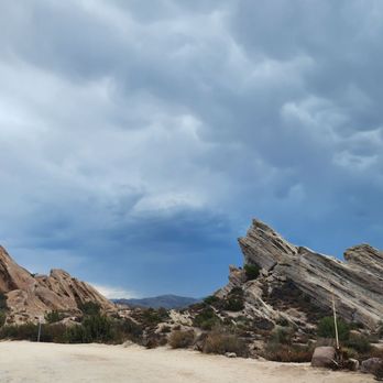


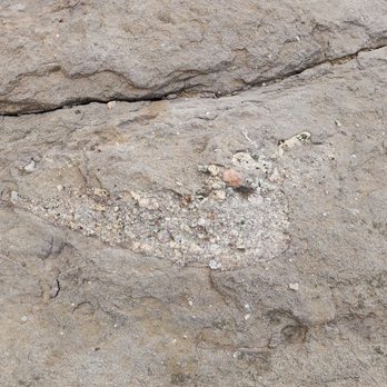





So much fun!! Free parking. Free admission. Dog friendly. It's a bit of a drive up the 14 but not too bad. Definitely worth it. We went in January around 9am and the temperature was perfect (around 60). If you go during the summer it'll get hot since no shade. Take pictures. The rocks are gorgeous. Wear long pants. There are a lot of prickly and overgrown bushes. Wear good shoes. You're be climbing hills and there are rocks. There is a trail but it's not clearly marked and we got a bit lost and kind of just winged it. Don't worry, you won't get lost lost as the park itself isn't that big but it was hard to find a path. My dog loved it and enjoyed herself. Remember to leave no trace. Note: Starting 1/10, due to Covid, they are closing the interpretive center. Also, due to Covid there are no bathrooms except porta potties. Enjoy! 2022 HIKE 1/52 read more
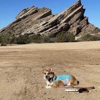


One of my favorite hiking places. So beautiful and peaceful. A short drive from LA and you are here in this magical place. Breathtaking views from all around and many trails to walk thru even for beginners or for people who don't like to hike. Lots of free parking and some picnic tables around the park. It gets hot in the summer months so we usually go between fall and spring. Always a good time here. Family favorite. Kids love it as well. read more


I didn't know about this place until my client mentioned it to me. After a long trip, My daughter and I dropped here. It was kind of busy but we were able to find a parking. It is visible from the 14 freeway. What a beautiful rock formations. It is good for photo ops and filming. We did climb the famous 'Lion King' rock and took some awesome pictures. read more


Yesterday was our first time visiting Vasquez Rocks as part of the Twilight Hike. We were really impressed with the park. The rock formation & hiking trails were really amazing! Our tour guide did a great job at providing historical information of Vasquez Rocks & pointing out the different types of plans along the trail. If you're looking for a nice hike check out Vasquez Rocks read more


3 years ago
An amazing place that makes you feel like you are on another planet. Not too many people and a good visitor center. You can drive up to the foot of the cliff. It's not at all difficult to climb onto it. The view is wonderful! , . . . . ! read more
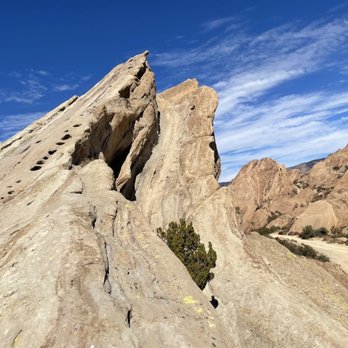

Michael Jackson, Keanu Reeves and William Shatner among many other film and music video performers chose this amazing landscape as the backdrop for its unique features. Visit in real life to appreciate the size and color of the sandstone which juts upwards at an angle. read more


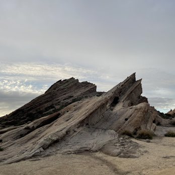
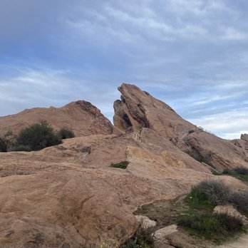
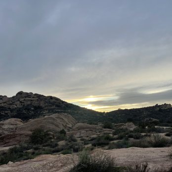


I highly recommend this spot. For me, this spot was just an hour drive and there wasn't any traffic to worry about. The parking is very plentiful; however, do be mindful that you will be parking on dirt. There were also public restrooms here. I'm a big fan of the scenery in southern California and the rocks were all very cool to look at. I'm also surprised that this area was still considered part of LA county. One thing to note is that you should be wary of all the horse or animal poop on the trail. I went on one trail of which I'm not sure what the name is, but it was an easy hike. I felt lost in a couple of parts, but there was a general trail to follow. If you're interested in climbing rocks there's also a spot here for that. I wish I tried climbing a rock, but it was either rock climbing or following the trail haha! Either way, the rocks here are a lot of grip, so you can find a random hill to climb! Just be careful because I can't imagine what would happen if you were to trip and fall. Overall, if you're dying to go outside because you've been stuck at home for this whole entire year being socially distant then I highly recommend Vasquez Rock Natural Area Park for your next outdoor excursion. read more


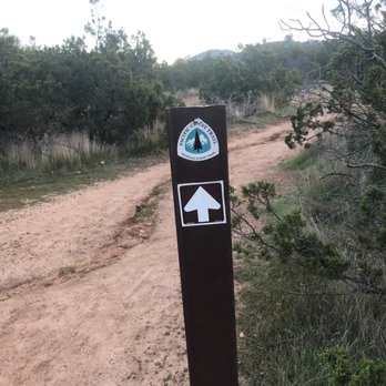
We came here in January of 2020 and I am just now writing the review a little over a year later. Don't take that to mean I didn't enjoy my visit, I most assuredly did. Parking- we got there pretty early and the gate to the parking lot was closed but we were able to easily find parking on the side of the road (Escondido Canyon Rd) Trail- we did a clockwise loop in which the first 1.5 miles was on the PCT; the trail was beautiful and the landscape looked other-worldly and it becomes immensely apparent why it was used to film TV shows/movies; your pictures will look amazing without the need for filters; the trail was easy to follow and none of it was too difficult and I think younger children and adults of not the best shape can handle this; we completed a little over 4 miles in 2 hours with many stops to take in the views and take pictures Visitor Center- we visited before the pandemic and the visitor center was open after we finished our hike and we spent about 30 minutes learning about the geologic history of the area and also the history of it being used for Hollywood productions read more






4 years ago
As many Angelinos I have driven the 14 freeway multiple times and often glanced off to the side and seen these awesome rock formations vowing to visit one day. Well one day finally came and I decided to start my day by taking in the beauty of Vazquez Rocks. Upon entry to the park it's mostly gravel and typical desert scenery. As you start to walk through the park the formations become more prominent and you realize what you've missed out on. These are truly a product of Mother Natures beauty as they these have naturally formed throughout the years from the wind, rain, and tectonic activity. This is also a popular site for many Hollywood favorites such as Star Trek, The Flinstones Movie, and The Muppets. In addition it is also a popular spot to snap some pics or even an engagement photo session. The hiking trails are fairly easy, but be sure to have shoes with plenty of grip should you attempt to make it to the top of the peaks. Lastly be sure to pack some sunscreen as there is very little shade throughout the park read more

Page 1 of 9
More info about Vasquez Rocks Natural Area Park
10700 W Escondido Canyon Rd
Agua Dulce, CA 91350
Directions
(661) 268-0840
Call Now
Hours
Indoor Amenities
Outdoor Amenities
Ask the Community - Vasquez Rocks Natural Area Park
Can I ride my bike there?
Hi there, you can ride a bike on the park road and in parking lots, but not on the trails. Thanks!
How far is the hike to get to the "best view" of the Vasquez Rocks? Thinking of doing a photo shoot here, so would like to know the distance and type of terrain I should expect?
It's just a short walk from the main road , if the gate is open you can drive your car with your equipments . Wear your rubber shoes . There's plenty of space to take good pictures but taking them on top of those rocks will be better but challenging…
Is the Nature Center still closed?
I went there to drop off my election ballot, as they have an official spot there. The gates were locked but people were walking in through the side gate, which suggested part of the Park is open on a limited basis. People that were entering we're…
Is there a picnic area?
There are but they have closed it off and turned the picnic tables upside down to prevent people from gathering and promote social distancing in this time of Covid-19 pandemic.
Can someone please tell me what hotel, motels or inns are nearby?
Hi , if you're from out of town , may I suggest that find a hotel/ Motel within the city of Santa Clarita , it's just a short ride to that place . And you can explore other places too , with more choices to buy food , probably do some shopping etc .
What's the best time to go when there isn't a lot of people?
We arrived around 7am and did amazing walk by 10am, when people started coming. Before 10am we were the only people. :)
Do I need to get a permit to get professional photos taken here? It will be for a family session?
No :)
I would like to photograph at sunrise or sunset - but the hours posted are after and before. Can you hike in before or after without issue if you park your car outside of the park?
Yes, provided you do not park on private property
Is it open New Year's Day?
There was a sign there saying the only day they close is Christmas Day.
It says that it's not open until 8 am, is that the center or the hiking trails? It'll be my first time going this Saturday. I'd appreciate any information.
I'm pretty sure that's the hiking trails. The center is run by volunteers so sometimes it doesn't open till much later.
Review Highlights - Vasquez Rocks Natural Area Park
You might also consider






















Why does Yelp recommend reviews?
15 reviews that are not currently recommended
The reviews below are not factored into the business's overall star rating.

6 years ago

13 years ago

14 years ago

7 years ago

3 years ago
7 years ago

7 years ago

6 years ago

10 years ago

9 years ago

4 years ago

4 years ago
4 years ago

Vasquez Rocks Natural Area Park - parks - Updated August 2026
Best of Agua Dulce
People found Vasquez Rocks Natural Area Park by searching for…
Places to Take Pictures in Agua Dulce, CA
Things to Do in Agua Dulce, CA
Beautiful Views in Agua Dulce, CA
Hiking Trails With Waterfalls in Agua Dulce, CA
Scenic Drive in Agua Dulce, CA
National Parks in Agua Dulce, CA
Watch Sunset in Agua Dulce, CA
Off Road Trails in Agua Dulce, CA
Meteor Shower in Agua Dulce, CA
Fishing Spots in Agua Dulce, CA
Atv Rentals/Tours in Agua Dulce, CA
Scenic Overlook in Agua Dulce, CA
Secret Spots in Agua Dulce, CA
Flower Fields in Agua Dulce, CA
Trending Searches in Agua Dulce, CA
Antiques near Vasquez Rocks Natural Area Park
Barbershop For Men near Vasquez Rocks Natural Area Park
Bike Shop near Vasquez Rocks Natural Area Park
Bird Sanctuary near Vasquez Rocks Natural Area Park
Cliff Jumping near Vasquez Rocks Natural Area Park
Consignment Shops near Vasquez Rocks Natural Area Park
Cruising Spots near Vasquez Rocks Natural Area Park
Dog Friendly Beaches near Vasquez Rocks Natural Area Park
Dog Friendly Things To Do near Vasquez Rocks Natural Area Park
Ear Piercing near Vasquez Rocks Natural Area Park
Eyebrow Threading near Vasquez Rocks Natural Area Park
Fishing Spots near Vasquez Rocks Natural Area Park
Flower Fields near Vasquez Rocks Natural Area Park
Hair Braiding near Vasquez Rocks Natural Area Park
Kids Haircut near Vasquez Rocks Natural Area Park
Lakes near Vasquez Rocks Natural Area Park
Mini Golf near Vasquez Rocks Natural Area Park
Parks near Vasquez Rocks Natural Area Park
Parks With Shade near Vasquez Rocks Natural Area Park
Pedicure near Vasquez Rocks Natural Area Park
Permanent Makeup near Vasquez Rocks Natural Area Park
Picnic Areas near Vasquez Rocks Natural Area Park
Playgrounds near Vasquez Rocks Natural Area Park
Public Golf Courses near Vasquez Rocks Natural Area Park
Public Pools near Vasquez Rocks Natural Area Park
Public Running Track near Vasquez Rocks Natural Area Park
Rock Quarry near Vasquez Rocks Natural Area Park
Scenic Night View near Vasquez Rocks Natural Area Park
Scenic Overlook near Vasquez Rocks Natural Area Park
Swimming Holes near Vasquez Rocks Natural Area Park
Things To Do With Kids near Vasquez Rocks Natural Area Park
Trading Card Shops near Vasquez Rocks Natural Area Park
Used Furniture Stores near Vasquez Rocks Natural Area Park
Browse Nearby
BEST of Agua Dulce, California Restaurants near Vasquez Rocks Natural Area Park
BEST of Agua Dulce, California Coffee near Vasquez Rocks Natural Area Park
BEST of Agua Dulce, California Hiking near Vasquez Rocks Natural Area Park
BEST of Agua Dulce, California Things to Do near Vasquez Rocks Natural Area Park
BEST of Agua Dulce, California Breakfast near Vasquez Rocks Natural Area Park
BEST of Agua Dulce, California Shopping near Vasquez Rocks Natural Area Park
BEST of Agua Dulce, California Campgrounds near Vasquez Rocks Natural Area Park
Browse Brands
Related Searches in Agua Dulce, CA
Best Dog Hiking Trails Around Agua Dulce, California
Best Fishing Locations and Guides in Agua Dulce, California
Best Gym With Sauna Amenities in Agua Dulce, California
Best Gymnastics for Kids Activities in Agua Dulce, California
Best Off Leash Dog Parks in Agua Dulce, California
Best Parks for Parties and Events in Agua Dulce, California
Best Places for Horseback Riding in Agua Dulce, California
Best Rock Climbing Gyms to Try in Agua Dulce, California
Best Spinning Classes Offered in Agua Dulce, California
Best Water Parks for Kids in Agua Dulce, California
Best Waterfalls and Swimming Holes in Agua Dulce, California
Challenge Yourself With an Obstacle Course in Agua Dulce, California
Check Out Great Playgrounds in Agua Dulce, California
Check Out Off Road Trails in Agua Dulce, California
Discover Baseball Fields Around Agua Dulce, California
Discover Dog Friendly Trails to Explore in Agua Dulce, California
Discover Easy Hiking Trails Near Agua Dulce, California
Discover Gyms With Steam Room Options in Agua Dulce, California
Discover Kids Indoor Play Area Venues in Agua Dulce, California
Discover Kids Yoga Classes Near Agua Dulce, California
Discover Lakes & Ponds to Explore in Agua Dulce, California
Discover Popular Bike Trails in Agua Dulce, California
Discover Popular Photo Spots in Agua Dulce, California
Discover Popular Ropes Course Options in Agua Dulce, California
Discover Scenic Mountain Bike Trails Near Agua Dulce, California
Discover Soccer Fields in Agua Dulce, California Near You
Discover Top Nature Parks to Visit in Agua Dulce, California
Discover Top State Parks to Visit in Agua Dulce, California
Discover Top Yoga Options and Studios in Agua Dulce, California
Discover a Hiking Trail in Agua Dulce, California
Discover the Best Beaches in Agua Dulce, California
Discover the Best Kids Park Spots in Agua Dulce, California
Discover the Best Night Hike Trails in Agua Dulce, California
Discover the Best Parkour Gyms in Agua Dulce, California
Discover the Best Running Track in Agua Dulce, California
Dog-Friendly Hikes With Dogs in Agua Dulce, California
Enjoy Camping Adventures Around Agua Dulce, California
Enjoy Exciting Mountain Biking Adventures in Agua Dulce, California
Enjoy Hiking Adventures in Agua Dulce, California
Enjoy Kayaking Adventures in Agua Dulce, California
Enjoy Off Leash Dog Hikes in Agua Dulce, California
Enjoy Scenic Places to Walk in Agua Dulce, California
Enjoy Tent Camping Spots Around Agua Dulce, California
Enjoy a Beautiful Waterfall Hike in Agua Dulce, California
Enjoy the Best Picnic Spots and Ideas in Agua Dulce, California
Enjoy the Best Walking Path in Agua Dulce, California


