Benham Falls Photos



You might also consider


More like Benham Falls
Recommended Reviews - Benham Falls
Start your review...


Reviews With Photos


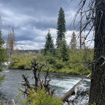
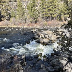
Nice stroll This was an easy hike... yes, my kind! The trail name is Deschutes River to Benham Falls. Cross over the footbridge and follow a wide trail to the Benham Falls Overlook. It's about .5 miles of dirt road with zero elevation gain. People ride their bikes and walk their dogs here. Don't expect a waterfall at the end of the trail. There is no waterfall but you will find ferocious fast moving raging rapids at the end. There is also a separate walking trail that is closer to the water. Nice, well maintained short and easy path from the parking lot to the viewing platform. Some shade areas are provided by pine trees on both sides of the path depending on what time of the day you come. This trail connects to Sunriver. From here, you can travel 1.9 miles to the north edge of Sunriver or 3.8 miles to the Lava Lands Visitor Center. Review #1120


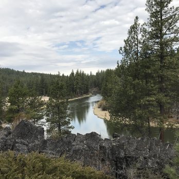
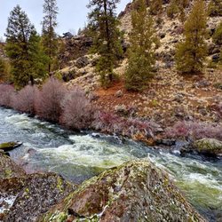
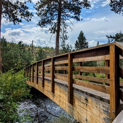
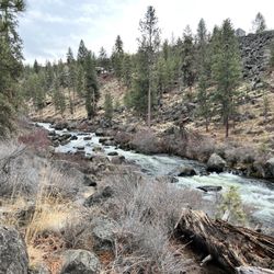
Not really a waterfall, Benham Falls is more like a Class [whatever] stretch of rapids created as the Deschutes River encounters the Newberry lava field. The struggle between water and rock is spectacular. And remarkably easy to get to. There are two approaches to the falls - one from the south accessed via the road from Lava Lands Visitor Center ending at Benham Falls East trailhead, and one from the west accessed via Conklin Road off Century Drive which takes you to Benham Falls West trailhead. Both have parking areas. Benham East requires a half mile hike across a footbridge and along the river to get to the falls. Benham West is right there at the falls. If you're capable, I highly recommend Benham East - the river upstream of the falls is gorgeous and there's the cool footbridge. The forest road from the Visitor Center also has a nice bike path, so you can leave your car there and bike to the falls across the footbridge. If you park at the East trailhead, take some time to walk the path upstream to get those gorgeous river views.


Place is really cool and pretty. But beware, there is a 6 mile dirt road that will likely damage your car.


Beautiful! Definitely more of a rapid than a waterfall but still worth it to see. Hardly a "hike" but more like a walk over from the parking lot to the falls. There is a path from a campsite close by by I'm not sure of the name. Great find!
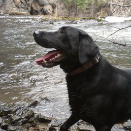


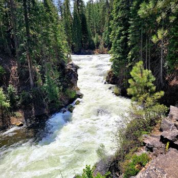
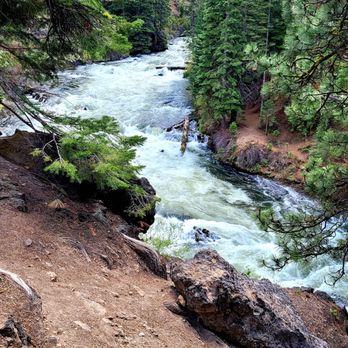
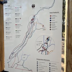
Beautiful falls and area to hike and bike. Porta potties at parking sight. Was not very busy. Road is bumpy and dusty. Trail to falls was nice, clean and easy to walk. Map of area located in the parking area. Had picnic tables on area and wonderful sound of the falls in the background. Recommend SUV or 4x4 due to pot holes. Would love to return. read more



5 years ago
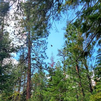
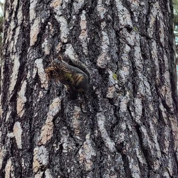
The day we set out on our hike to Benham Falls, we started out by parking off the East trailhead. We then hiked the short distance (about 1/2 mile) to the Falls. Benham Falls actually look a lot more like large whitewater rapids than waterfalls; you'll encounter some spectacular views as you approach them :-) On the day we did this hike, we started out just before lunch. The trail was hot and dusty, but we still had a delightful hike. Tip: The hiking difficulty here is easy; beginning hikers and above won't have any trouble even when it's hot. The trail is fairly broad, so there's no problem with hikers and bicycles using it at the same time. Note that the West trailhead is so close to the falls that if you start out from there you'll basically be skilling the hike and just taking in the views and the Falls. read more


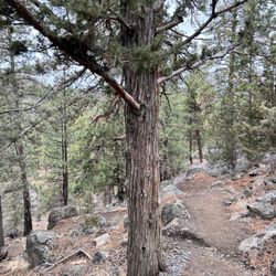
Nice stroll This was an easy hike... yes, my kind! The trail name is Deschutes River to Benham Falls. Cross over the footbridge and follow a wide trail to the Benham Falls Overlook. It's about .5 miles of dirt road with zero elevation gain. People ride their bikes and walk their dogs here. Don't expect a waterfall at the end of the trail. There is no waterfall but you will find ferocious fast moving raging rapids at the end. There is also a separate walking trail that is closer to the water. Nice, well maintained short and easy path from the parking lot to the viewing platform. Some shade areas are provided by pine trees on both sides of the path depending on what time of the day you come. This trail connects to Sunriver. From here, you can travel 1.9 miles to the north edge of Sunriver or 3.8 miles to the Lava Lands Visitor Center. Review #1120 read more


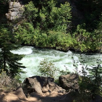
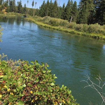


Not really a waterfall, Benham Falls is more like a Class [whatever] stretch of rapids created as the Deschutes River encounters the Newberry lava field. The struggle between water and rock is spectacular. And remarkably easy to get to. There are two approaches to the falls - one from the south accessed via the road from Lava Lands Visitor Center ending at Benham Falls East trailhead, and one from the west accessed via Conklin Road off Century Drive which takes you to Benham Falls West trailhead. Both have parking areas. Benham East requires a half mile hike across a footbridge and along the river to get to the falls. Benham West is right there at the falls. If you're capable, I highly recommend Benham East - the river upstream of the falls is gorgeous and there's the cool footbridge. The forest road from the Visitor Center also has a nice bike path, so you can leave your car there and bike to the falls across the footbridge. If you park at the East trailhead, take some time to walk the path upstream to get those gorgeous river views. read more




6 years ago
Place is really cool and pretty. But beware, there is a 6 mile dirt road that will likely damage your car. read more


4 years ago

3 years ago

6 years ago

8 years ago
Beautiful! Definitely more of a rapid than a waterfall but still worth it to see. Hardly a "hike" but more like a walk over from the parking lot to the falls. There is a path from a campsite close by by I'm not sure of the name. Great find! read more


8 years ago

9 years ago
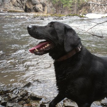
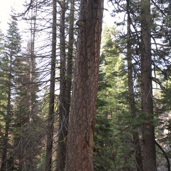
This is my go to waterfall when I have family or friends in town and not a lot of time to show them things. Typically I prefer to go here over Tumalo Falls because of the closeness to town and the ecology of the surrounding area. I just feel the forest is a bit more high altitude conifer vs the vibe in Tumalo. The fall itself is not very big and might look more like a rapid, but there are some really pretty views when you wander the social trails. Just be careful as a few people have died here from being careless with their feet. There are a few trails that branch out from here and this to me has the best fishing in this area. I typically catch smaller fish here but it seems to be the most consistent fishing spot. Keep in mind this place can get busy and is worth checking out at slower times if you don't like crowds, but much... much less crowded than Tumalo. If you have friends in town that want to see a waterfall and a full day of other activities planned, this is the fall you want! read more


8 years ago
More info about Benham Falls
Bend, OR 97701
Directions
Hours
Outdoor Amenities
Ask the Community - Benham Falls
Review Highlights - Benham Falls


















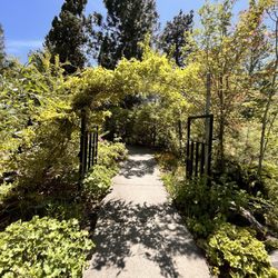



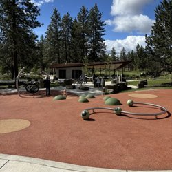
Benham Falls - hiking - Updated August 2026
Best of Bend
People found Benham Falls by searching for…
Trending Searches in Bend, OR
Barbershop For Men near Benham Falls
Cliff Jumping near Benham Falls
Consignment Shops near Benham Falls
Ear Piercing near Benham Falls
Elementary Schools near Benham Falls
Eyebrow Threading near Benham Falls
Flower Fields near Benham Falls
Hair Braiding near Benham Falls
Kids Haircut near Benham Falls
Picnic Areas near Benham Falls
Public Golf Courses near Benham Falls
Running Trails near Benham Falls
Scenic Overlook near Benham Falls
Sports Card Shops near Benham Falls
Sunrise View near Benham Falls
Swimming Holes near Benham Falls
Trading Card Shops near Benham Falls
Browse Articles
Browse Nearby
BEST of Bend, Oregon Coffee near Benham Falls
BEST of Bend, Oregon Restaurants near Benham Falls
BEST of Bend, Oregon Breakfast near Benham Falls
BEST of Bend, Oregon Things to Do near Benham Falls
BEST of Bend, Oregon Walking Trails near Benham Falls
BEST of Bend, Oregon Parks near Benham Falls
BEST of Bend, Oregon Caves near Benham Falls
Browse Brands
Related Searches in Bend, OR
Affordable Kayak Rental Services in Bend, Oregon
Best Dog Hiking Trails Around Bend, Oregon
Best Fishing Locations and Guides in Bend, Oregon
Best Places for Horseback Riding in Bend, Oregon
Best Sightseeing Experiences Available in Bend, Oregon
Best Waterfalls and Swimming Holes in Bend, Oregon
Discover Dog Friendly Trails to Explore in Bend, Oregon
Discover the Best Night Hike Trails in Bend, Oregon
Dog-Friendly Hikes With Dogs in Bend, Oregon
Enjoy Camping Adventures Around Bend, Oregon
Enjoy Kayaking Adventures in Bend, Oregon
Enjoy Off Leash Dog Hikes in Bend, Oregon
Enjoy Tent Camping Spots Around Bend, Oregon
Enjoy Water Activities and Fun in Bend, Oregon
Enjoy the Best Walking Path in Bend, Oregon
Enjoy the Best Walking Trails in Bend, Oregon
Experience Thrilling White Water Rafting in Bend, Oregon
Explore Beautiful Parks and Green Spaces in Bend, Oregon
Explore Easy Hikes Perfect for All in Bend, Oregon
Explore Fun Activities to Do in Bend, Oregon
Explore Popular Campgrounds Near Bend, Oregon
Explore Scenic Lakes to Visit in Bend, Oregon
Explore Top Dog Parks in Bend, Oregon Near You
Explore Top Water Parks in Bend, Oregon Today
Explore the Best Beach Spots in Bend, Oregon
Explore the Best Swimming Holes Around Bend, Oregon
Family Friendly Hiking With Kids in Bend, Oregon
Find Parks and Recreation Activities in Bend, Oregon
Find Top Dog Friendly Parks to Visit in Bend, Oregon
Find Top-Rated Waterfalls in Bend, Oregon Now
Find the Best Playgrounds to Visit in Bend, Oregon
Find the Best Scenic View Locations in Bend, Oregon
Hiking Trails With Waterfalls in Bend, Oregon
Off Leash Dog Hiking Trails in Bend, Oregon
Perfect Spots to Watch Sunset in Bend, Oregon
Popular Outdoor Activities to Try in Bend, Oregon
Popular Picnic Spots to Visit in Bend, Oregon
Safe River Swimming Areas in Bend, Oregon
Safe and Fun Parks for Kids in Bend, Oregon
Top Hiking Trails to Explore in Bend, Oregon
Top Playgrounds for Kids to Enjoy in Bend, Oregon
Top Running Trails to Explore in Bend, Oregon
Top Swimming Lakes to Enjoy in Bend, Oregon
Top Swimming Spots and Pools in Bend, Oregon
Top Things to Do With Kids in Bend, Oregon
Top-Rated Camping Sites in Bend, Oregon


