Byron Herbert Reece Historical Marker Photos


More like Byron Herbert Reece Historical Marker
Recommended Reviews - Byron Herbert Reece Historical Marker
Start your review...

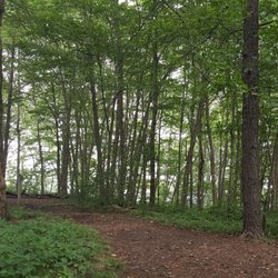
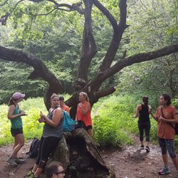
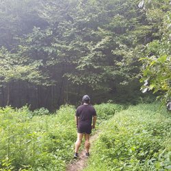
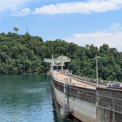
Along the mountain roads of North Georgia, this marker stands in front of Reece Heritage Farm. The farm grounds are open as a park and include guided tours as well as hiking trails. But we're not here for that. We're here for the marker. It reads, "Renowned Appalachian poet, novelist, and farmer, Byron Herbert Reece lived most of his life near this site. Here he composed, to critical acclaim, four volumes of poetry and two novels, Better a Dinner of Herbs and The Hawk and the Sun. Reece was a five-time recipient of the Georgia Writers Association's literary achievement award and was nominated for a Pulitzer Prize in poetry for Bow Down in Jericho. He served as poet-in-residence at the University of California at Los Angeles, Emory University, and Young Harris College. Suffering from tuberculosis, Reece took his own life three months before his forty-first birthday. He is buried in Old Union Cemetery near Young Harris." Online, there is more information. He was born nearby in Union County, Georgia in 1917 and began publishing poems locally while in high school. He won American Poet magazine's annual poetry award in 1943. In 1952 and 1957, he received a Guggenheim Fellowship for fiction. The Georgia Writers Hall of Fame inducted Reece in 2001. [Review 15949 overall - 447 in Georgia - 1454 of 2021.] read more


4 years ago
More info about Byron Herbert Reece Historical Marker


Byron Herbert Reece Historical Marker - landmarks - Updated July 2026
Best of Blairsville
People found Byron Herbert Reece Historical Marker by searching for…
Churches in Blairsville, Georgia
Scenic Overlook in Blairsville, Georgia
Historical Sites in Blairsville, Georgia
Plantation Tours in Blairsville, Georgia
Hiking Trails in Blairsville, Georgia
Cemetery in Blairsville, Georgia
Historical Tours in Blairsville, Georgia
Things to Do in Blairsville, Georgia
Night View in Blairsville, Georgia
Landmarks in Blairsville, Georgia
Trails in Blairsville, Georgia
Public Services & Government in Blairsville, Georgia
Attractions in Blairsville, Georgia
Walking Trails in Blairsville, Georgia
View Points in Blairsville, Georgia
Places to Visit in Blairsville, Georgia
Skyline View in Blairsville, Georgia
Tourist Attractions in Blairsville, Georgia
Waterfall in Blairsville, Georgia
Arts & Entertainment in Blairsville, Georgia
Trending Searches in Blairsville, GA
Black Owned Nail Salons near Byron Herbert Reece Historical Marker
Boat Rental near Byron Herbert Reece Historical Marker
Caves near Byron Herbert Reece Historical Marker
Cliff Jumping near Byron Herbert Reece Historical Marker
Day Trips near Byron Herbert Reece Historical Marker
Fireworks near Byron Herbert Reece Historical Marker
Historical Sites near Byron Herbert Reece Historical Marker
Jet Ski Rental near Byron Herbert Reece Historical Marker
Kayak Rental near Byron Herbert Reece Historical Marker
Landmarks & Historical Buildings near Byron Herbert Reece Historical Marker
Lookout Points near Byron Herbert Reece Historical Marker
Picnic Areas near Byron Herbert Reece Historical Marker
Places To Swim near Byron Herbert Reece Historical Marker
Places To Visit near Byron Herbert Reece Historical Marker
River Tubing near Byron Herbert Reece Historical Marker
Scenic Restaurants near Byron Herbert Reece Historical Marker
Splash Pad near Byron Herbert Reece Historical Marker
Strawberry Picking near Byron Herbert Reece Historical Marker
Swimming Holes near Byron Herbert Reece Historical Marker
Swimming Lakes near Byron Herbert Reece Historical Marker
Things To See near Byron Herbert Reece Historical Marker
U Pick Farms near Byron Herbert Reece Historical Marker
Browse Articles
Browse Nearby
BEST of Blairsville, Georgia Restaurants near Byron Herbert Reece Historical Marker
BEST of Blairsville, Georgia Things to Do near Byron Herbert Reece Historical Marker
BEST of Blairsville, Georgia Coffee near Byron Herbert Reece Historical Marker
BEST of Blairsville, Georgia Breakfast near Byron Herbert Reece Historical Marker
BEST of Blairsville, Georgia Campgrounds near Byron Herbert Reece Historical Marker
BEST of Blairsville, Georgia Shopping near Byron Herbert Reece Historical Marker
BEST of Blairsville, Georgia Wineries near Byron Herbert Reece Historical Marker
Browse Brands
Related Searches in Blairsville, GA
Best Fun Things to Do in Blairsville, Georgia
Best Lookout Points to Visit in Blairsville, Georgia
Best Nature Trails for Hiking in Blairsville, Georgia
Best Waterfalls and Swimming Holes in Blairsville, Georgia
Discover Charming Historic Homes in Blairsville, Georgia
Discover Famous Monuments in Blairsville, Georgia
Discover Historic Sites and Places in Blairsville, Georgia
Discover Popular Landmarks in Blairsville, Georgia
Discover Popular Photo Spots in Blairsville, Georgia
Discover Stunning Skyline View Spots in Blairsville, Georgia
Discover Top State Parks to Visit in Blairsville, Georgia
Discover the Best Caves to Explore in Blairsville, Georgia
Discover the Best Planetarium Shows in Blairsville, Georgia
Enjoy Arts & Entertainment in Blairsville, Georgia
Enjoy Hiking Adventures in Blairsville, Georgia
Enjoy the Best Family Activities in Blairsville, Georgia
Enjoy the Best Walking Trails in Blairsville, Georgia
Experience Stunning Sunset Views in Blairsville, Georgia
Explore Beautiful Botanical Gardens in Blairsville, Georgia
Explore Beautiful Parks and Green Spaces in Blairsville, Georgia
Explore Children's Museums Near Blairsville, Georgia
Explore Easy Hikes Perfect for All in Blairsville, Georgia
Explore Family-Friendly Zoos and Wildlife in Blairsville, Georgia
Explore Fun Activities to Do in Blairsville, Georgia
Explore Fun Field Trips in Blairsville, Georgia
Explore Popular Scenic Overlook Points in Blairsville, Georgia
Explore Popular Scenic Views Near Blairsville, Georgia
Explore Secret Spots Worth Visiting in Blairsville, Georgia
Explore Top Art Galleries Located in Blairsville, Georgia
Explore Top Haunted Places Near Blairsville, Georgia
Explore Venues & Event Spaces in Blairsville, Georgia
Find Beautiful Views in Blairsville, Georgia
Find Fun Things to Do With Kids in Blairsville, Georgia
Find Top Libraries to Visit in Blairsville, Georgia
Find Top-Rated Waterfalls in Blairsville, Georgia Now
Find the Best Bridge Spots in Blairsville, Georgia
Find the Best Playgrounds to Visit in Blairsville, Georgia
Hiking Trails With Waterfalls in Blairsville, Georgia
Must-See Tourist Attractions Around Blairsville, Georgia
Popular Places to Take Pictures in Blairsville, Georgia
Popular Things to Do in Blairsville, Georgia
Popular Things to See in Blairsville, Georgia
Public Services & Government Offices in Blairsville, Georgia
Stair Climbing Activities and Gyms in Blairsville, Georgia
Top Hiking Trails to Explore in Blairsville, Georgia
Top Places to Visit in Blairsville, Georgia for Sightseeing
Top Things to Do With Kids in Blairsville, Georgia
Tour Famous Lighthouses Located in Blairsville, Georgia