Cape Perpetua Scenic Area Photos

You might also consider

More like Cape Perpetua Scenic Area
Recommended Reviews - Cape Perpetua Scenic Area
Start your review...


Reviews With Photos
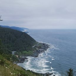


Decided to pull off for a hike this weekend while passing through. We found the trailhead just beyond the visitors center and decided upon the 1mile discovery loop. There's plenty of parking, including some for rvs. This portion of the trail, which starts at the back of parking lot, is a lollipop loop with well-maintained paths. The journey is a constant slight incline until about halfway through the loop. The forest here is just stunning...so serene especially within the loop itself. Highly recommend!


With so many places to stop along the beautiful Oregon Coast, this area is definitely worth your time to visit. We parked in a mostly empty parking lot and entered the visitor center. A friendly gentleman provided some good information regarding the 26 mile trail system. There is a $5 fee for this area. This trail is part of the majestic Oregon Coast Trail which is 362 miles. We chose to hike the 2.8 mile St. Perpetual Trail from the parking lot to the top. This quiet trail leads you to the top of the overlook which is 800 feet above the Pacific Ocean. Switchbacks take you higher and higher to a couple of epic vantage points and coastal views along the way. With every turn so much beauty. At the top you have the pleasure of continuing your hike in a loop or changing trails.You will see below you the Devils Churn. For those that don't want to hike, you may drive to the top of the overlook as well. Why drive when you can hike right?
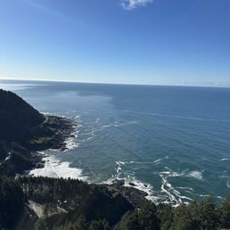

Definitely worth the stop. This look-out view is breathtaking and easy to get to. The drive and walk are both easy to navigate. Signs lead the way off of scenic Hwy 101. From the overlook you can see the winding roads below, the green trees of the forest, and the crashing waves of the Pacific Ocean. Depending on the season, you can spot migrating whales. Spectacular!
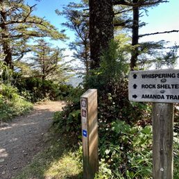

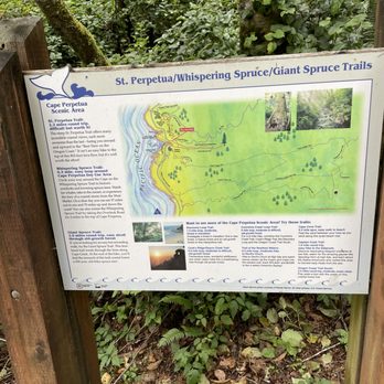
I visited Cape Perpetua Overlook located 2 miles off Highway 101 and it was one of the best viewpoints I can remember in a long time! It was the highlight of my drive down the Oregon Coast. To find this lookout, you can plug "Cape Perpetua Overlook" into Google Maps or (if you're headed south) make a left hand turn just past Devil's Churn Viewpoint. At the top of this overlook, parking is limited, but I found a few available spots around 4pm in early August. They do charge $5 for accessing views from the lookout and the hiking trails at the top of the cliff. You are asked to fill out a slip and drop it into a box. But the problem was the drop box was full and couldn't accept any more payment slips. I left a $5 bill on the front windshield of my car in good faith. I walked the 1/3rd of a mile Whispering Spruce Trail. According to the trailhead sign, on a clear day "you can see 37 miles out to sea and 70 miles up and down the coast" and I agree with this assessment. I had chills just checking out the expansive surroundings. Granted, it was a perfectly sunny afternoon day, but the views were perfect! I was awe-inspired. Stunned! Just casually walking this Whispering Spruce Trail was fantastic and a huge reward for not having to work hard to arrive here. As you walk along the edge of the pathway, you come upon a little shelter house. And again, from the vantage points at this shelter house, the Pacific Ocean was like a glorious sight to witness, simply out of a postcard setting. I really did feel on top of the world. The Pacific Ocean glistened against the sun's rays. It's a moment to feel grateful being among nature and how beautiful little under the radar spots can be. I was thinking...I didn't even have expectations for this Cape Perpetua Overlook, yet it took my breathe away. You can do more exploring while here. There are 2 other trails that go more in depth for enjoying the scenery. They are... - Giant Spruce Trail - 2 miles roundtrip - an easy stroll through the forest. According to the trailhead sign - "fern-lined trail winds through the trees along Cape Creek. At the end of the hike you'll find the monarch of this lush coastal forest: a 500-year old Sitka spruce tree." - St. Perpetua Trail - 2.2 miles roundtrip - difficult but worth it. According to the trailhead sign..."many coastal views, each more awesome than the last - luring you onward and upward to the Best View on the Oregon Coast". Some final notes... - This Cape Perpetua Overlook is situated just behind Cape Perpetua Campground. I was hoping to find a campsite for the night but unfortunately for summertime they were already at full capacity. - Cape Perpetua is situated in the heart of the action along Oregon's Highway 101 coastal drive. Right nearby are... 1. Devils Punchbowl - 37 miles north. 2. Devils Churn - next door. 3. Thor's Well - 2 miles down the road. 4. Spouting Horn - 2 miles also. 5. Haceta Head Lighthouse - 13 miles south. 6. The town of Yachats, Oregon - 5 miles north. From here at Cape Perpetua Overlook I did drive back towards the town of Yachats and grabbed dinner at Outta Gas Pizza. The pizza was okay, nothing special. Overall, this Cape Perpetua Scenic Area is fantastic and while you're driving Highway 101 either north or south, it's a MUST VISIT to come check out this overlook/observation point. You will be left inspired with memories that can last for years to come.


My Goodness, this is one of the absolute gorgeous areas along the Oregon coastline! Make sure you stop at the interactive center for free info, everyone here is very informative ad helpful. Great parking, if you plan on staying for a while please pay or have a pass in your window. They have trails from the interactive center. Every trail is stunning and not to challenging. You will most likely see whales and other sea life, we did! Trust me you wanna add this whole area to your list, so stunning. ~Enjoy @glampedlife
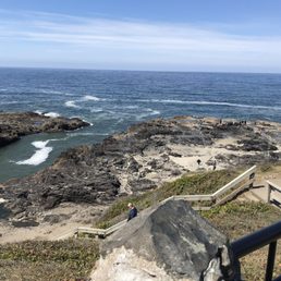

This was a beautiful and relatively easy walk off Hwy 101. We parked at the visitors center and walked some (if not most) of the well maintained trails. For a Wednesday in late August it felt not to busy. The views are absolutely gorgeous. Definitely recommend taking a walkabout here if you're in the area.


Cape Perpetua typifies a snippet of the 360 mile Oregon coast line rugged, forested sea cliffs forming the headland jutting out into the Pacific Ocean - and an uncrowded beach with many tide pools. All up and down the entire coast everyone can enjoy every mile of the uncrowded beaches, the sands stretching 360 miles. Because Oregon legislature passed a law in 1967 to keep beaches under Oregon ownership and open to the public. Private land begins 16 vertical feet above the low tide line. Cape Perpetua, high point 800 feet above sea level, is managed by the US Forest Service. There is camping, picnicking, 25 miles of hiking trails, sightseeing, including a 600-year-old Sitka spruce tree 185 feet tall and 40 feet in diameter. Along Cape Perpetua coastline, there are unique features like the Devil's Churn which is a long crack as wide and long as a football field in the coastal rock where waves roll in and out, and at high or storm tide multiple splashes explode and shoot sky high - !!! fall in !!! - and remain with the sea forevermore. I am mindful to watch my step and take pics while keeping a 3rd eye on the waves movement. The Spouting Horn at Cook's Chasm and Thor's Well on the rocky plateau nearby are wide holes in the rocks when the bigger and more powerful waves come under the rocks and blast upward, skyward and spouting like Old Faithful in Yellowstone for not as long but more often. Any day after day by day on an Oregonian beach is like no other. Why? Wind, waves, weather and sand endlessly shifting with your body, mind and spirit - a time for new reflections!!! !!! !!!


We've stopped here two years running now and it's absolutely breathtaking. I've heard there are some excellent trails to the seascape below, but if you're just stopping for a few moments on your drive up the coast, they have an easily accessible deck where you can take everything in: the drop (from the safety of a stable and well-fenced even surface, the climbing, piney hills, and the vast, sparkling sea. If there's a better place to stop, we haven't found it.


Let's face it, there are a bajillion places to stop along the Oregon Coast. You don't want to miss this one. Even if you just hit the interpretive center with it's lovely attendants and clean, well curated informational innards, the viewing area is enough to give you a picture you can happily access in your mind's eye forever. If you crave a good moderate hike, leave directly from the interpretive center to go on any trail and you'll be privy to stunning views, well maintained trails, and super friendly doggos when you meet other coastline enthusiasts. It really is a beautiful area. We went up to the little stone cabin to look as far as we could down the coast and out to see on a cloudy day and I can verify there's a reason it's a famous spot. If you love photography, absolutely bring your camera, bring your binoculars because you have a great chance to see whales in the right season, and the flowers in bloom are stunning. Plus, if you don't want to work as hard getting to the best lookout points, there are multiple places to drive farther up so the walk is much shorter. I revisit this one, which says something because I have no attention span, but this one will get your dopamine going.


Everything around this place references Cooks Chasm so keep that in mind when looking things up. It was a bit of a jaunt to get down here but even my bad knee managed each way. It's actually pretty easy to navigate when you're there. So many areas to check out and enjoy. Lots of beautiful scenery for photo ops and video. Really glad we happened to look up Thor's Well otherwise we wouldn't have known to stop here. Really glad we took more time to enjoy little pit stops like this for a change.


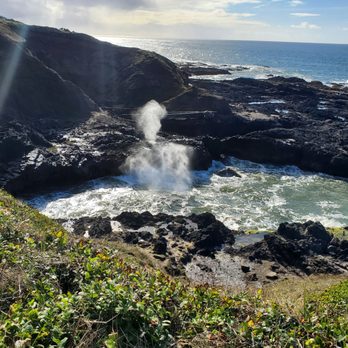
Gorgeous scenery, easy hike. It's a 0.75 mile round trip hike to the tide pools. If you're interested in the history of Cape Perpetua, you'll find it on this trail. Hike past the site of a Civilian Conservation Corps camp, then climb a mountain of mussel shells left by generations of Alsea Indians. There are tidepool creatures at low tide and the geyser like Spouting Horn when the tide is high. Watch out for sneaker waves and know that the rock is uneven and slippery when wet. Super chilly and windy the day we were there which added to the ambiance of the beautiful Oregon coast. Dogs are allowed on leash. Weekend parking can be limited. There are a few lots, although they fill up quickly, so go early. People come and go, so be patient. There's a fee to park at the main lot, I believe it was 10.00, although, they honor several national park passes if you happen to have one. If you're in the area, it's a must see!
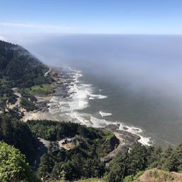

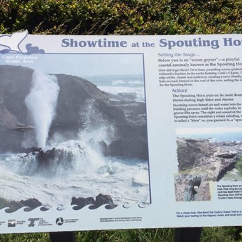
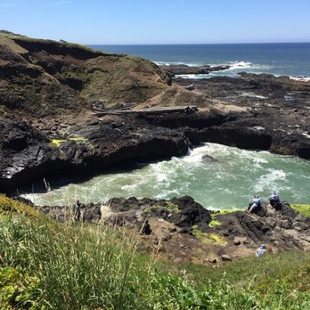
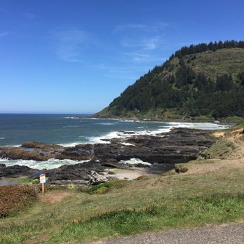
Cape Perpetua is a perfect example of what makes the Oregon Coast so special. It has so many things to see and there is something for you to do no matter what tide you arrive at. If the tide is low, tide pools, at high-tide the crashing waves on the rocks at Devil's Churn or Cooks Chasm. During the in between times, time can be taken up hiking on a number of trails (around 27 miles total) depending on length and difficulty level; but there is something for everyone. To top it off the visitor center is fantastic with lots of interpretive displays to help you identify native (and non) plants that you will encounter in the area. The have short movies on demand and hikes led by Field Rangers all day on the weekends. Plan to make a day of it!


1 month ago
We always try to visit when in the area - take the road to the top - a short trail brings you to a stone shelter with great views down the coast if tide's right spoutig orn will be active. several trails to explore & good tide pooling Paved trails for accessibility. Great, visitor center with info on local flora/fauna at high tide Devil's Churn lives up to its name where waves crashing thru nasrrow clefty form milky froth read more


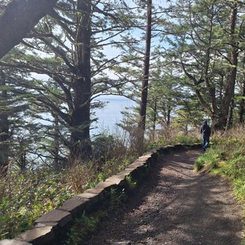
This scenic area is a must-see when visiting the Yachats area! There's so much to do here. There's a Visitors Center with restrooms, a museum, informational videos and friendly employees to answer questions. They have a large parking lot available for visitors. At the top of the hill is the Cape Perpetua Overlook day use area. It costs $5, and there's plenty of parking and a vault toilet. There's also a map of the trails by the pay station. The views from up there are amazing! The trails are well maintained. Don't forget to check out the cool West Shelter observation point! On the other side of highway 101 is a trail to Devils Churn, Cook's Chasm, and Spouting Horn. All must-sees! The dramatic views change depending on high and low tides. We always make a point to stop here while visiting the area, any time of year. It never disappoints. Highly recommend! read more




3 months ago
Highly recommend when in the area. We had our elderly Mom with us so had to take the drive up for the view. Once parked at the top of parking lot where there's a bathroom, short walk to the overlook. Sooo beautiful and glad we did this. As Mom sat on the bench for a bit we walked down a short trail to the shelter and kids loved this! read more


2 months ago
Even though the morning was very cold, super windy, foggy, and drizzling, the views were worth the hassle! read more


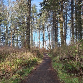
Decided to pull off for a hike this weekend while passing through. We found the trailhead just beyond the visitors center and decided upon the 1mile discovery loop. There's plenty of parking, including some for rvs. This portion of the trail, which starts at the back of parking lot, is a lollipop loop with well-maintained paths. The journey is a constant slight incline until about halfway through the loop. The forest here is just stunning...so serene especially within the loop itself. Highly recommend! read more

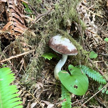


With so many places to stop along the beautiful Oregon Coast, this area is definitely worth your time to visit. We parked in a mostly empty parking lot and entered the visitor center. A friendly gentleman provided some good information regarding the 26 mile trail system. There is a $5 fee for this area. This trail is part of the majestic Oregon Coast Trail which is 362 miles. We chose to hike the 2.8 mile St. Perpetual Trail from the parking lot to the top. This quiet trail leads you to the top of the overlook which is 800 feet above the Pacific Ocean. Switchbacks take you higher and higher to a couple of epic vantage points and coastal views along the way. With every turn so much beauty. At the top you have the pleasure of continuing your hike in a loop or changing trails.You will see below you the Devils Churn. For those that don't want to hike, you may drive to the top of the overlook as well. Why drive when you can hike right? read more

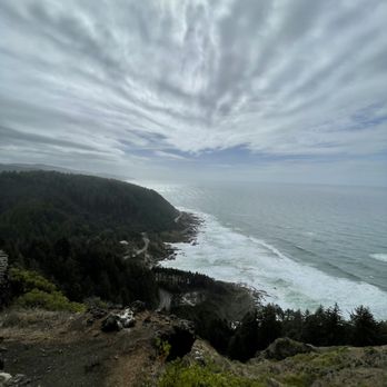


Definitely worth the stop. This look-out view is breathtaking and easy to get to. The drive and walk are both easy to navigate. Signs lead the way off of scenic Hwy 101. From the overlook you can see the winding roads below, the green trees of the forest, and the crashing waves of the Pacific Ocean. Depending on the season, you can spot migrating whales. Spectacular! read more
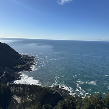


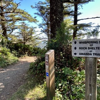
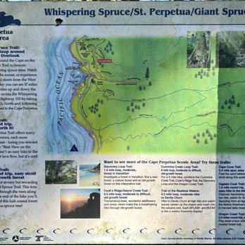
I visited Cape Perpetua Overlook located 2 miles off Highway 101 and it was one of the best viewpoints I can remember in a long time! It was the highlight of my drive down the Oregon Coast. To find this lookout, you can plug "Cape Perpetua Overlook" into Google Maps or (if you're headed south) make a left hand turn just past Devil's Churn Viewpoint. At the top of this overlook, parking is limited, but I found a few available spots around 4pm in early August. They do charge $5 for accessing views from the lookout and the hiking trails at the top of the cliff. You are asked to fill out a slip and drop it into a box. But the problem was the drop box was full and couldn't accept any more payment slips. I left a $5 bill on the front windshield of my car in good faith. I walked the 1/3rd of a mile Whispering Spruce Trail. According to the trailhead sign, on a clear day "you can see 37 miles out to sea and 70 miles up and down the coast" and I agree with this assessment. I had chills just checking out the expansive surroundings. Granted, it was a perfectly sunny afternoon day, but the views were perfect! I was awe-inspired. Stunned! Just casually walking this Whispering Spruce Trail was fantastic and a huge reward for not having to work hard to arrive here. As you walk along the edge of the pathway, you come upon a little shelter house. And again, from the vantage points at this shelter house, the Pacific Ocean was like a glorious sight to witness, simply out of a postcard setting. I really did feel on top of the world. The Pacific Ocean glistened against the sun's rays. It's a moment to feel grateful being among nature and how beautiful little under the radar spots can be. I was thinking...I didn't even have expectations for this Cape Perpetua Overlook, yet it took my breathe away. You can do more exploring while here. There are 2 other trails that go more in depth for enjoying the scenery. They are... - Giant Spruce Trail - 2 miles roundtrip - an easy stroll through the forest. According to the trailhead sign - "fern-lined trail winds through the trees along Cape Creek. At the end of the hike you'll find the monarch of this lush coastal forest: a 500-year old Sitka spruce tree." - St. Perpetua Trail - 2.2 miles roundtrip - difficult but worth it. According to the trailhead sign..."many coastal views, each more awesome than the last - luring you onward and upward to the Best View on the Oregon Coast". Some final notes... - This Cape Perpetua Overlook is situated just behind Cape Perpetua Campground. I was hoping to find a campsite for the night but unfortunately for summertime they were already at full capacity. - Cape Perpetua is situated in the heart of the action along Oregon's Highway 101 coastal drive. Right nearby are... 1. Devils Punchbowl - 37 miles north. 2. Devils Churn - next door. 3. Thor's Well - 2 miles down the road. 4. Spouting Horn - 2 miles also. 5. Haceta Head Lighthouse - 13 miles south. 6. The town of Yachats, Oregon - 5 miles north. From here at Cape Perpetua Overlook I did drive back towards the town of Yachats and grabbed dinner at Outta Gas Pizza. The pizza was okay, nothing special. Overall, this Cape Perpetua Scenic Area is fantastic and while you're driving Highway 101 either north or south, it's a MUST VISIT to come check out this overlook/observation point. You will be left inspired with memories that can last for years to come. read more


3 years ago
My Goodness, this is one of the absolute gorgeous areas along the Oregon coastline! Make sure you stop at the interactive center for free info, everyone here is very informative ad helpful. Great parking, if you plan on staying for a while please pay or have a pass in your window. They have trails from the interactive center. Every trail is stunning and not to challenging. You will most likely see whales and other sea life, we did! Trust me you wanna add this whole area to your list, so stunning. ~Enjoy @glampedlife read more


5 years ago
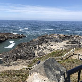
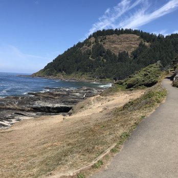
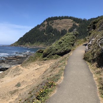
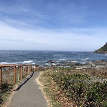
This was a beautiful and relatively easy walk off Hwy 101. We parked at the visitors center and walked some (if not most) of the well maintained trails. For a Wednesday in late August it felt not to busy. The views are absolutely gorgeous. Definitely recommend taking a walkabout here if you're in the area. read more






2 years ago

Cape Perpetua typifies a snippet of the 360 mile Oregon coast line rugged, forested sea cliffs forming the headland jutting out into the Pacific Ocean - and an uncrowded beach with many tide pools. All up and down the entire coast everyone can enjoy every mile of the uncrowded beaches, the sands stretching 360 miles. Because Oregon legislature passed a law in 1967 to keep beaches under Oregon ownership and open to the public. Private land begins 16 vertical feet above the low tide line. Cape Perpetua, high point 800 feet above sea level, is managed by the US Forest Service. There is camping, picnicking, 25 miles of hiking trails, sightseeing, including a 600-year-old Sitka spruce tree 185 feet tall and 40 feet in diameter. Along Cape Perpetua coastline, there are unique features like the Devil's Churn which is a long crack as wide and long as a football field in the coastal rock where waves roll in and out, and at high or storm tide multiple splashes explode and shoot sky high - !!! fall in !!! - and remain with the sea forevermore. I am mindful to watch my step and take pics while keeping a 3rd eye on the waves movement. The Spouting Horn at Cook's Chasm and Thor's Well on the rocky plateau nearby are wide holes in the rocks when the bigger and more powerful waves come under the rocks and blast upward, skyward and spouting like Old Faithful in Yellowstone for not as long but more often. Any day after day by day on an Oregonian beach is like no other. Why? Wind, waves, weather and sand endlessly shifting with your body, mind and spirit - a time for new reflections!!! !!! !!! read more


We've stopped here two years running now and it's absolutely breathtaking. I've heard there are some excellent trails to the seascape below, but if you're just stopping for a few moments on your drive up the coast, they have an easily accessible deck where you can take everything in: the drop (from the safety of a stable and well-fenced even surface, the climbing, piney hills, and the vast, sparkling sea. If there's a better place to stop, we haven't found it. read more


3 years ago
Let's face it, there are a bajillion places to stop along the Oregon Coast. You don't want to miss this one. Even if you just hit the interpretive center with it's lovely attendants and clean, well curated informational innards, the viewing area is enough to give you a picture you can happily access in your mind's eye forever. If you crave a good moderate hike, leave directly from the interpretive center to go on any trail and you'll be privy to stunning views, well maintained trails, and super friendly doggos when you meet other coastline enthusiasts. It really is a beautiful area. We went up to the little stone cabin to look as far as we could down the coast and out to see on a cloudy day and I can verify there's a reason it's a famous spot. If you love photography, absolutely bring your camera, bring your binoculars because you have a great chance to see whales in the right season, and the flowers in bloom are stunning. Plus, if you don't want to work as hard getting to the best lookout points, there are multiple places to drive farther up so the walk is much shorter. I revisit this one, which says something because I have no attention span, but this one will get your dopamine going. read more


6 years ago
Everything around this place references Cooks Chasm so keep that in mind when looking things up. It was a bit of a jaunt to get down here but even my bad knee managed each way. It's actually pretty easy to navigate when you're there. So many areas to check out and enjoy. Lots of beautiful scenery for photo ops and video. Really glad we happened to look up Thor's Well otherwise we wouldn't have known to stop here. Really glad we took more time to enjoy little pit stops like this for a change. read more


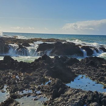


Gorgeous scenery, easy hike. It's a 0.75 mile round trip hike to the tide pools. If you're interested in the history of Cape Perpetua, you'll find it on this trail. Hike past the site of a Civilian Conservation Corps camp, then climb a mountain of mussel shells left by generations of Alsea Indians. There are tidepool creatures at low tide and the geyser like Spouting Horn when the tide is high. Watch out for sneaker waves and know that the rock is uneven and slippery when wet. Super chilly and windy the day we were there which added to the ambiance of the beautiful Oregon coast. Dogs are allowed on leash. Weekend parking can be limited. There are a few lots, although they fill up quickly, so go early. People come and go, so be patient. There's a fee to park at the main lot, I believe it was 10.00, although, they honor several national park passes if you happen to have one. If you're in the area, it's a must see! read more


Cape Perpetua is a perfect example of what makes the Oregon Coast so special. It has so many things to see and there is something for you to do no matter what tide you arrive at. If the tide is low, tide pools, at high-tide the crashing waves on the rocks at Devil's Churn or Cooks Chasm. During the in between times, time can be taken up hiking on a number of trails (around 27 miles total) depending on length and difficulty level; but there is something for everyone. To top it off the visitor center is fantastic with lots of interpretive displays to help you identify native (and non) plants that you will encounter in the area. The have short movies on demand and hikes led by Field Rangers all day on the weekends. Plan to make a day of it! read more
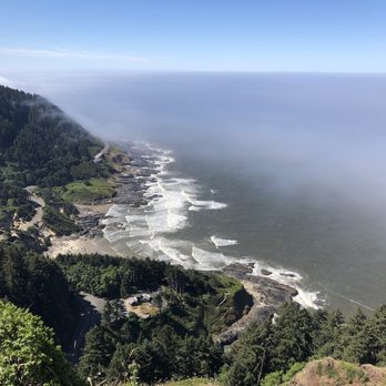
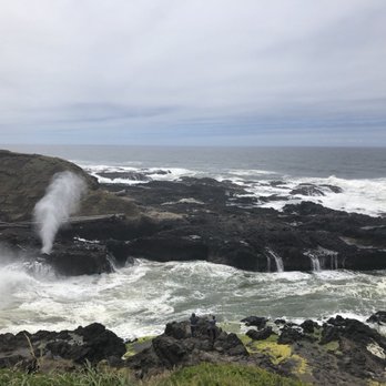

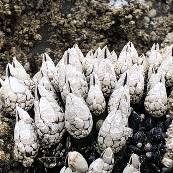
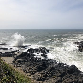


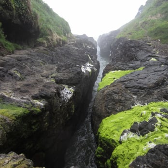
Great coastal scenic area with good hiking opportunities. Devils' Churn is in this area. Reminds me of some spots in Hawaii where the ocean bangs into a narrow chasm, creating visual and aural excitement. The end of the channel, where the waves crash into a cave, is not obvious from the overlooks or even from the bottom of the steps. If you visit, be sure to make your way to the end. You can even go to the other side. There is a nice loop trail to walk after you get back up from the Churn. Devils Churn has a small parking area and a restroom. Highly recommended. read more


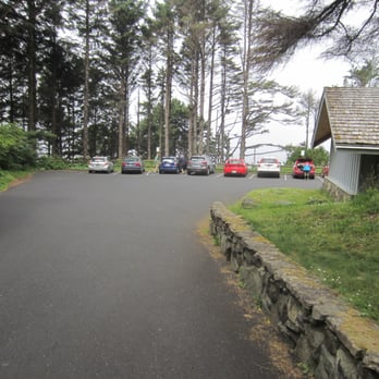

5 years ago
My goodness, this is a MUST SEE area. Just the beauty of seeing God's creation and the massive power behind all that water. Walking through the forest was itself beautiful. Even if you are driving to a destination you are going to want to stop in and check it out. Many thanks to everyone helping keep this area going. read more

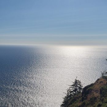
4 years ago
ABSOLUTELY GORGEOUS!!! Now, you gotta be smart and careful. Go at high tide (very easy to figure out online), bring your loved ones, and stay away from the edges! Thor's Well, Devils Churn, and Spouting Horn are beautiful but deadly views! Bring a windbreaker and waterproof boots and it'll be awesome! read more


Awesome place, we came over to view the tide pools since it was a low tide. You definitely need to bring your hiking shoes as it's mostly lava type rocks. We were able to see a ton of sea creatures, mussels, sea urchins, crabs, sea cucumber, sea slug, anemones, star fish, chiton, lots of kelp and sea weed, etc There was a little drift wood, mist of it was 40-60' logs that were of a decent diameter. How ever, I recommend that you leave your four legged creatures at home if you plan to be in the rocks. Almost forgot to mention that we saw two bald eagles and several seals on the way down. read more


8 years ago
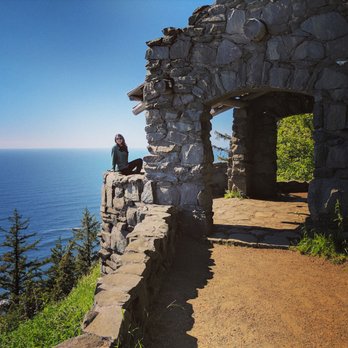
This is one of my favorote stops along the Oregon coast. There is a great visitors center down the road with a gift shop then up north a little more there is the road to this scenic view. The lookout points here are breathtaking. I came here years ago to watch the sunset and I will never forget the majestic views. Decided to bring the family and it was a gorgeous clear day. There are a couple of spots you need to keep littles back from since there isn't much of a wall next to the trail. The walk to the stone house is gorgeous and when you get there you get even more views of the coastline. The 2 mile curvy drive up and down isn't bad and well worth it. I highly recommend checking it out. read more


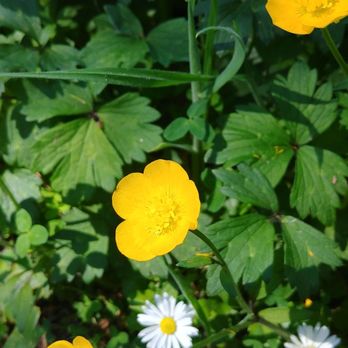


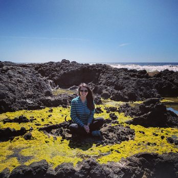
Tide pools, Thor's Well, Spouting Horn, Devil's Churn, stone shelter lookout point, and everything else in between to enjoy if a beautiful day is available. Worth the 3 hour drive from Portland if you have a day to spare. read more


9 years ago
What a wonderful area to take in all the coastal scenery. Definitely stop in at the visitors center and get valuable information on what to look for and where. The volunteers that work there are awesome. I was able to see Thor's Well. It is not on any sign so you will have to look for it. Just follow the Spouting Horn signs. Give yourself at least a few hours so you can really explore the tide pools and blow holes. ****Be sure to look up the tide charts for the area. You need to get there around high tide for the Thor's Well action. read more


14 years ago
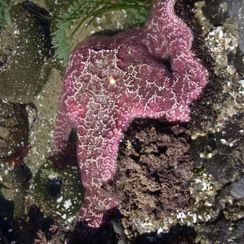
Wow. Of all the things we did on our Oregon road trip, this was by far my favorite. If you ever end up in Coastal Oregon, this is a must do. There is a great little 1/2 mile each way hike from the visitor to the tide pools. Try to time your visit around low tide. The starfish and sea urchin were amazingly bright and there were so many kinds of unique algae and sea plants. Bring a good camera! read more


8 years ago

Cape Perpetua Scenic Area is one of my all time favs on the OR Coast. The natural beauty here is spectacular, and it doesn't matter if you're down for a small hike or a big one - there is something for everyone. Of course, there is the ever popular viewpoint and the Shelter Trail, which offer unparalllled views of southward towards Heceta Head Lighthouse. The Amanda trail is a very nice hike among giant trees and ground foliage. These are my particular favorites. This is a definite thing not to miss on your way up or down the coastline - I make sure to stop by every time I am here. The only thing amiss here is the $5 day use fee, which I feel is pretty high for those who just want to hop out if the car and nap a few shots of the coastline. read more


9 years ago

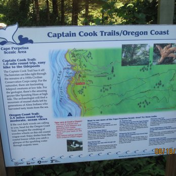
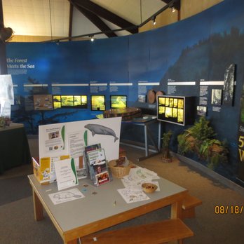
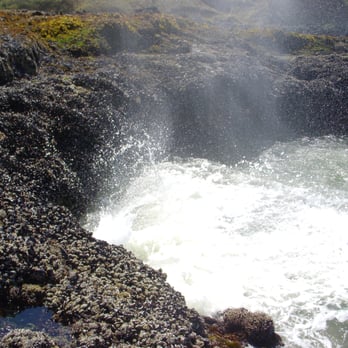
Our introduction to this area was at the interpretive center where we found a spot in the almost full lot. There are several exhibits that proved helpful as were the staff. After exiting the building, we took a 3/4 mile Captain Cook trail to Cook's Chasm where, during high tide, waves colliding with the rocky shore sending spray skyward. Unfortunately, our arrival coincided with low tide though the walk still proved worthwhile for the view. On the day following we took another trail to Devil's Churn to see the waves crashing against the rocky sides. A short drive brought us back to Cook's Chasm where we again followed the trail down to view Spouting Horn and Thor's Well. The tide was rolling in so we got a decent view of each, the former sending a spray skyward each time a large wave came in. The latter was like a 360 degree waterfall filling when the waves came in and emptying as the waves went back out. read more




14 years ago
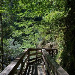
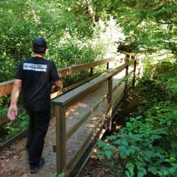
A serene place that is built to last.* Cape Perpetua Scenic Area is coastal Oregon's answer to legendary Point Lobos on the Central Californian coast (http://www.yelp.com/biz/point-lobos-state-reserve-carmel#hrid:Fa7uUGiIPDvX7ygBfSZYiw/src:self). It's a special place, one of those unique ecological meeting spots where two worlds collide (but in a good way). It is here that "the forest meets the sea," in the words of the US Forest Service, which manages the location and makes it accessible to a wide range of visitors. A nice little phrase there, where the forest meets the sea, Do they ever! The forest and the sea, it's like they are melting into one, a union of opposites, one eternally restless and the other serenely sublime. It's an absolutely perfect match, and you can positively feel the free-flowing natural love between them. These aren't just any old trees, nor is the ocean in these parts run-of-the-mill, either. Old-growth Sitka spruce groves congregate in clumps in hidden thickets and along wind-swept ridges while rolling waves crash and churn along the rocky headlands, beaches, and tidal pools far below. Looming above it all is an imposing rocky overlook carved from volcanic stone and covered in eternal greenery. It's hard to deny the inherent beauty of a partnership like that. (http://www.yelp.com/biz_photos/cape-perpetua-scenic-area-yachats?select=lVqyNgwFMRJXD8EWdrQYeg#WLyR7YntSbmxmJktA0BqjQ) All that beauty doesn't come easily, of course. This place has been sculpted by the elements, and the process isn't finished yet. The Cape is often wet, windy, and/or wild, so I imagine that each time you come here, it will be different. A great way to begin is to venture up by foot or car to the overlook, which towers 800 feet above the ocean shore. Of course, you could get lucky, weatherwise, and be greeted by calm, clear, and peaceful conditions (http://www.yelp.com/biz_photos/cape-perpetua-scenic-area-yachats?select=lVqyNgwFMRJXD8EWdrQYeg#cdQlac2JXbzq68sWXKj7_g). If you happen to visit when it's not storming, the Cape is a picture of serenity, but that sense of calmness is temporary. It won't last forever, which is what makes the moment so memorable. Especially in winter, a storm is always impending at a place like this. The Cape was built to last the storms, however, being made of durable basalt layers of ancient lava that resist erosion quite effectively. While the rain and waves and wetness have given rise to forest giants and an intricately carved, fog-wrapped coastline, there is a basic solidity to the Cape that you can't help but feel by spending time here. It won't be around forever, but it will be a part of the coast for a good while longer, time enough for you to pay it a visit. You could spend a lot of time here, exploring the trails, watching for whales, and wandering aimlessly along the shore (while avoiding sneaker waves, of course). The 600-year old Heritage Tree, a massive Sitka sprouting from the top of the Cape, is deserving of some added homo sapiens love. You don't get that old by being boring. But if you don't have time to take a winding forest loop into the Siuslaw National Forest, a nice way to experience the Cape for an hour or two is to take the St. Perpetua Trail. The trailhead starts at the spacious and well-constructed Visitor Center and winds all the way up to the Overlook. It's a decent trail, not too steep or too long, and it is well engineered with switch-backs and stone steps. If you don't mind a little climbing, it's a lovely way to reach the top, with its expansive ocean views. Crossing a wooden bridge over Cape Creek along the way adds a nice twist to the experience, a burst of green vibrancy and seclusion to go along with the dramatic vistas and crashing waves seen from on high (http://www.yelp.com/biz_photos/cape-perpetua-scenic-area-yachats?select=C0PGgANAbQOYjfYJsBFShQ#C0PGgANAbQOYjfYJsBFShQ). The coastal trails are quite popular, too, and for good reason. The tide pools and rocky sea spouts are pretty riveting. Where the waves collide, impressive display of whitewater and foam are the result. There's a lot of Pacific coast out there to explore, more than anyone could ever manage in a lifetime. But if you're driving on US-101, you have to stop sometimes, and when you do, it's really great to know that places like Cape Perpetua are there for you, waiting. A serene place that is built to last. (*Dedicated to Brian S, Sanford FL). read more


Hands down the most beautiful place I've been to on the Oregon Coast. Spectacular! We stopped by the devils churn and hiked along the rocks catching awesome shots of the waves. Next we drove a quarter mile up the road to Thors Well. It's a bit of a hike out on the rocks, so best to go during dryer weather and wear sturdy shoes. High tide offers the best views and if you are patient you will catch some amazing wave shots. Drive up the hill to see an old WWII bunker and be stunned by the breathtaking views. Pack a picnic! And if you don't read anything else read this: don't be a tourist and go too close to the cliff and rock edges trying to get the "perfect shot" because the waves will get you and take you out to sea. Do what's within your comfort zone and save the cowboy action for something less likely to kill you. read more
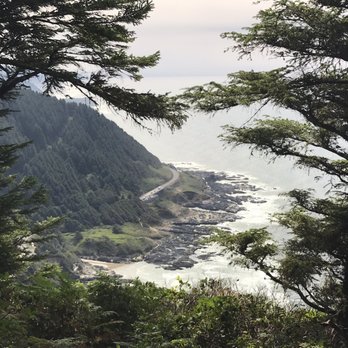


5 stars. One of my favorite areas on the Oregon Coast - Cape Perpetua is located in Yachats on 101. The shoreline is rocky and full of clams. Park on 101 and hike down to Thor's Well. The well is at it best at high tide, to get close to it, you will need to wear a pair of hiking shoes. There isn't a sign marking Thor's well, but it is relatively easy to spot, see my pics. Another interesting spot is Cooks Chasm. In the area there are some tide pools as well - these are best viewed at low tide. Highly recommended. read more


I could have stayed here forever. It has a bit of everything: a great place to check out the tidepools, a short hike to see some greenery, a beautiful view to appreciate the Oregon coast. We planned a two days trip from Seaside to Bandon. But on the second day, we just got stuck here because we loved it so much. read more



5 years ago


Page 1 of 2
More info about Cape Perpetua Scenic Area
Ask the Community - Cape Perpetua Scenic Area
Review Highlights - Cape Perpetua Scenic Area








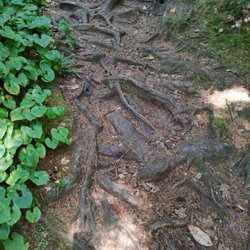
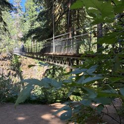

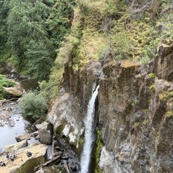
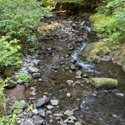




Cape Perpetua Scenic Area - hiking - Updated September 2026
Best of Yachats
People found Cape Perpetua Scenic Area by searching for…
Trending Searches in Yachats, OR
Archery near Cape Perpetua Scenic Area
Barbershop near Cape Perpetua Scenic Area
Bike Shop near Cape Perpetua Scenic Area
Casinos near Cape Perpetua Scenic Area
Casinos With Slot Machines near Cape Perpetua Scenic Area
Cliff Jumping near Cape Perpetua Scenic Area
Consignment Shops near Cape Perpetua Scenic Area
Dress Shops near Cape Perpetua Scenic Area
Estheticians near Cape Perpetua Scenic Area
Eyebrow Threading near Cape Perpetua Scenic Area
Eyelash Extensions near Cape Perpetua Scenic Area
Kids Birthday Party near Cape Perpetua Scenic Area
Makeup Artists near Cape Perpetua Scenic Area
Nail Technicians near Cape Perpetua Scenic Area
Off Road Trails near Cape Perpetua Scenic Area
Parks near Cape Perpetua Scenic Area
Photo Spots near Cape Perpetua Scenic Area
Picnic Areas near Cape Perpetua Scenic Area
Places To Take Pictures near Cape Perpetua Scenic Area
Private Schools near Cape Perpetua Scenic Area
Public Shower near Cape Perpetua Scenic Area
Rock Quarry near Cape Perpetua Scenic Area
Running Trails near Cape Perpetua Scenic Area
Scenic Overlook near Cape Perpetua Scenic Area
Browse Articles
Browse Nearby
BEST of Yachats, Oregon Restaurants near Cape Perpetua Scenic Area
BEST of Yachats, Oregon Coffee near Cape Perpetua Scenic Area
BEST of Yachats, Oregon Things to Do near Cape Perpetua Scenic Area
BEST of Yachats, Oregon Breakfast near Cape Perpetua Scenic Area
BEST of Yachats, Oregon Campgrounds near Cape Perpetua Scenic Area
Browse Brands
Related Searches in Yachats, OR
Affordable Kayak Rental Services in Yachats, Oregon
Best Dog Hiking Trails Around Yachats, Oregon
Best Fishing Locations and Guides in Yachats, Oregon
Best Places for Horseback Riding in Yachats, Oregon
Best Sightseeing Experiences Available in Yachats, Oregon
Check Out Off Road Trails in Yachats, Oregon
Discover Dog Friendly Trails to Explore in Yachats, Oregon
Discover Kid Friendly Hiking Trails in Yachats, Oregon
Discover Popular Bike Trails in Yachats, Oregon
Discover Top State Parks to Visit in Yachats, Oregon
Discover a Hiking Trail in Yachats, Oregon
Discover the Best Night Hike Trails in Yachats, Oregon
Dog-Friendly Hikes With Dogs in Yachats, Oregon
Enjoy Camping Adventures Around Yachats, Oregon
Enjoy Kayaking Adventures in Yachats, Oregon
Enjoy Off Leash Dog Hikes in Yachats, Oregon
Enjoy Tent Camping Spots Around Yachats, Oregon
Enjoy a Beautiful Waterfall Hike in Yachats, Oregon
Enjoy the Best Walking Trails in Yachats, Oregon
Experience Deep Sea Fishing Adventures in Yachats, Oregon
Explore Easy Hikes Perfect for All in Yachats, Oregon
Explore Fun Activities to Do in Yachats, Oregon
Explore Popular Campgrounds Near Yachats, Oregon
Explore Top Dog Parks in Yachats, Oregon Near You
Explore Top Water Parks in Yachats, Oregon Today
Explore the Best Beach Spots in Yachats, Oregon
Explore the Best Swimming Holes Around Yachats, Oregon
Family Friendly Hiking With Kids in Yachats, Oregon
Find Beautiful Views in Yachats, Oregon
Find Top-Rated Waterfalls in Yachats, Oregon Now
Find the Best Parks for Picnics in Yachats, Oregon
Find the Best Playgrounds to Visit in Yachats, Oregon
Fun Things for Kids in Yachats, Oregon
Hiking Trails With Waterfalls in Yachats, Oregon
Off Leash Dog Hiking Trails in Yachats, Oregon
Plan a Scenic Drive Route Near Yachats, Oregon
Popular Fishing Spots to Explore in Yachats, Oregon
Popular Picnic Spots to Visit in Yachats, Oregon
Popular Things to See in Yachats, Oregon
Safe River Swimming Areas in Yachats, Oregon
Safe and Fun Parks for Kids in Yachats, Oregon
Top Dog Friendly Things to Do in Yachats, Oregon
Top Hiking Trails to Explore in Yachats, Oregon
Top Running Trails to Explore in Yachats, Oregon
Top Swimming Lakes to Enjoy in Yachats, Oregon
Top Things to Do With Kids in Yachats, Oregon


