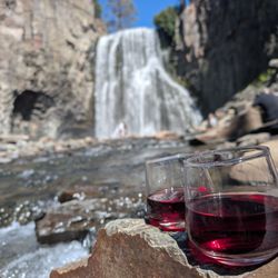
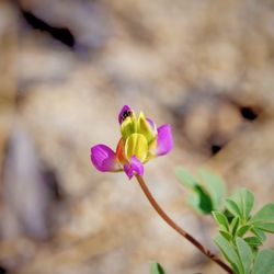
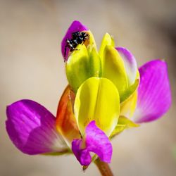
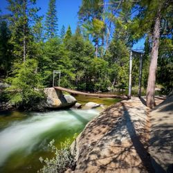
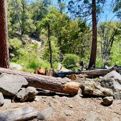
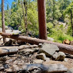
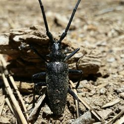
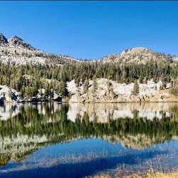
Dinkey Lakes Wilderness Photos

You might also consider
More like Dinkey Lakes Wilderness
Recommended Reviews - Dinkey Lakes Wilderness
Start your review...

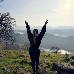
Where do I start ? ... I have never gone backpacking before my my husband insisted we try dinkey because he's done it before and loved it. It's a 4plus mile hike all up hill and you feel like half way your going to die (at least I did) but the views are well worth it! The way back is a breeze. There is different lakes you can camp at we choose the further one. Great experience and no we did not see any bears. Hiking back two nights later was a lot easier packs are lighter and its downhill for the most part. read more


8 years ago
7 years ago
More info about Dinkey Lakes Wilderness
Dinkey Creek Road and Trails End
Dinkey Creek, CA 93664
Directions
Hours
Outdoor Amenities


Dinkey Lakes Wilderness - hiking - Updated June 2026
Best of Dinkey Creek
People found Dinkey Lakes Wilderness by searching for…
Hiking Trails in Dinkey Creek, California
Things to Do in Dinkey Creek, California
Playgrounds in Dinkey Creek, California
Lakes & Ponds in Dinkey Creek, California
Off Road Trails in Dinkey Creek, California
Night View in Dinkey Creek, California
Walking Trails in Dinkey Creek, California
Running Trails in Dinkey Creek, California
Trail in Dinkey Creek, California
Water Parks for Kids in Dinkey Creek, California
Waterfalls and Swimming Holes in Dinkey Creek, California
Public Shower in Dinkey Creek, California
Night Hike in Dinkey Creek, California
Camp in Dinkey Creek, California
Picnic Areas in Dinkey Creek, California
Swimming Lakes in Dinkey Creek, California
Hiking Trails Kid Friendly in Dinkey Creek, California
Fall Foliage in Dinkey Creek, California
Fun Date Night Ideas in Dinkey Creek, California
Fishing Spots in Dinkey Creek, California
Playgrounds for Kids in Dinkey Creek, California
Places to Take Pictures in Dinkey Creek, California
Browse Nearby
BEST of Dinkey Creek, California Things to Do near Dinkey Lakes Wilderness
BEST of Dinkey Creek, California Restaurants near Dinkey Lakes Wilderness
BEST of Dinkey Creek, California Lakes near Dinkey Lakes Wilderness
BEST of Dinkey Creek, California Horseback Riding near Dinkey Lakes Wilderness
BEST of Dinkey Creek, California Campgrounds near Dinkey Lakes Wilderness
BEST of Dinkey Creek, California Hot Springs near Dinkey Lakes Wilderness
BEST of Dinkey Creek, California Lunch near Dinkey Lakes Wilderness
BEST of Dinkey Creek, California Grocery Store near Dinkey Lakes Wilderness
BEST of Dinkey Creek, California Sledding near Dinkey Lakes Wilderness