Elfin Forest Recreational Reserve Photos




You might also consider


More like Elfin Forest Recreational Reserve
Recommended Reviews - Elfin Forest Recreational Reserve
Start your review...


Reviews With Photos - Elfin Forest Recreational Reserve


What a beautiful find! I've passed by this Elfin Forest trail so many times on our way to Carlsbad or La Costa, such a beautiful drive. Today my husband thought to stop and explore And what a great surprise! After living in Escondido for 13 years, now we know why we see cars parked on the side of the road. We highly recommend to enjoy the natural and serene setting.
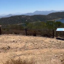

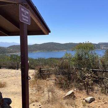
We wanted to hike in and decided to drive to Elfin Forest Recreational Reserve. We had previously looked up this trail, and it appeared straightforward enough for us. There's a small parking area at the base of the trail, with an information center open from 8am to 12pm. Before the trail starts, there are portable restrooms with hand sanitizer stations. There are no water fountains, so bring plenty of water before you start your hike. The trail was entirely in the sun by 10am. In addition to water, bring sun protection. The halfway point on the Harmony Grove Overlook trail has lovely Escondido views. We decided to push further up the mountain to Ridgetop Picnic Area. Seeing a bike repair station up there with a portable restroom surprised us. No hand sanitizer is provided up top, though. There was also a doggy poop bag dispenser, a thoughtful touch. I went further up to Escondido Overlook, which had great reservoir views. I'd recommend arriving here early to beat the sun, but there were some shaded areas with seating. Overall, we took our time going up and coming back down. We do recommend taking the long way back through a stream crossing. There are many rocks to sit under the shade and admire the stream's views and sounds.
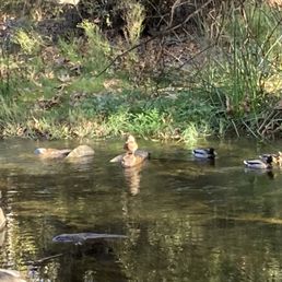

We really enjoyed the beauty of this place and the helpfulness of Carol in the Interpretive Center...she patiently answered all our questions about rattlesnakes and the alleged haunting of the area/the White Witch story. The drone-recorded film that was playing inside there showed us a good preview of the switchbacks up the hilly hike to the actual Reservoir and we decided to save that til next time when I'm not wearing flip flop type sandals. Instead, we checked out the Botanical Trail one way, and the Escondido Creek the other way; both are relatively flat, and it was extremely peaceful and pleasant. It felt like a mini vacation for sure. Parking was a little tricky, but there's an "overflow lot" we didn't immediately see. We will definitely return!


Update- I still LOVE this nature reserve. It is absolutely BEAUTIFUL. You can hike different length trails, hangout by the creek, look at dragonflies and damselflies, or check out the Interpretative Center when it is open (volunteer based)! I am in love with this place, and the Rangers who work here are really nice and truly care about the environment.
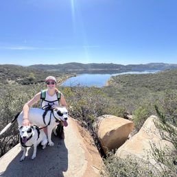

Beautiful spot to do some hiking! Lots of different trail options. The Way Up trail takes you a couple miles to the top of the mountain where there are lookouts over the reservoir and a a couple miles further you can see lake Hodges. Parking is tough! We got there around 9am on a Saturday and parked on the road in a little dirt patch. Not too far of a walk to get to the trail heads. There are porta-potties at the base and also at the peak of the Way Up trail. It's very rocky and steep, hiking shoes are a must and if you use poles, bring them! It's dog friendly and they had a blast.
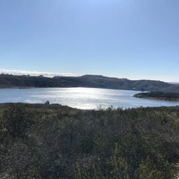

Great local spot to hike. There are 11 miles of trails to choose from for hiking, biking and horseback riding. The reserve itself consists of 784 acres. The reserve opened in 1992 and sits within the Escondido creek watershed which flows year round from Lake Wohlford to San Elijo Lagoon. One must pass over this creek to begin your hike, bike ride or equestrian ride. My friend and I arrived here on a Saturday morning and had a great day. The views are epic and you can see the Pacific Ocean, Channel Islands and Coronado Islands. Looking north you can see the San Bernardino mountain range. We brought our lunch and we were able to enjoy one of their many picnic spots. Trails are pretty easy for those in shape. Great place to take your kids and dogs will have a great time here. One of North Counties cool places to get outside and enjoy!


This is a pretty straight forward and well marked hiking experience. Trails are clearly marked so you should not get lost. Parking can be a challenge though. There is a dirt lot available at the staging area. If that is full you need to park in the marked areas of the road. This is also where other drivers are passing through and are guilty of speeding way too fast. That is flat out dangerous so be aware. Bicyclists are also all over the road so be weary of them. The hiking trails are rocky and going up is a moderate challenge. The other challenge is the other hikers rudely coming up from behind and immediately trying to pass. I found that annoying as I was already hiking at a fast pace and it seems like a few hikers felt a need to race by. A simple excuse me would have gone a long way. People are gonna people I guess.


Quick tips: 1. On weekends and holidays you need to arive before 9am if you expect to park in the first lot. The overflow lot will be full by 11am. Yes they have an overflow lot. 2. Not the best hike for kids under 7. This park is family-friendly but tiny ones will find the switchbacks tough and lots of rocks will guarantee at least one scraped knee. 3. WAIT and take the Botanical Trail on your way down the mountain. Note you will need to cross a stream over rocks at the bottom (not difficult even after a heavy rain). 4. Don't be the person that brings a stroller 5. Or a mountain bike 6. Or an unleashed dog 7. On weekends the narrow road to this trail is usually blocked by hoards of cyclists. They deliberately drive in the center of the road blocking traffic. So take a few relaxing deep breaths three miles before the reserve. Note: Three stars is because the popularity and crowds. On a weekday this is a four star trail..


Parking isn't great here the lot is small. It's easy to get a little turned around as well so pay attention to signs. That being said this is such a great location. As you head out, there is a semi steep incline to the left but not terrible. You have multiple trails to choose from and there is so much diversity. Typical desert like setting or lush green. Lots of signs to teach about flora and fauna and very well maintained. Lots of shade mixed with openings for some sunshine on your shoulders. Awesome place to explore.
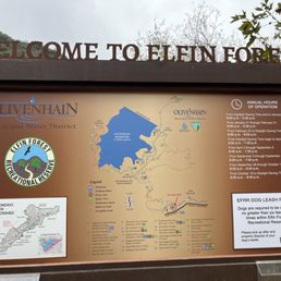

I absolutely love Elfin Forest! Perfect for family hikes and exploring nature. We had a peaceful adventure with our little. It is a perfect place to capture beautiful photos! I love seeing the gorgeous water, it is easy to cross! Definitely bring comfortable shoes to walk in and a sweater as the evening can get chilly in the forest. There are two porta potties and a trash can available near the entrance of the forest. The parking lot is small. We will definitely return!

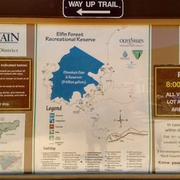

This reserve in the middle of Escondido is centered around the Olivenhain Dam and Reservoir. The word "Forest" is a misnomer because there were hardly any large canopy trees on the grounds. What this place has was plenty of open space and numerous smaller side trails to explore. Instead of five peaks like at Mission Trails Regional Park, the focus was ultimately on the manmade body of water. Not much shade was available so wear a hat and sunscreen and/or come at a cooler time of the year to minimize the risk of overheating and dehydration. The Way Up Trail was the most challenging portion, but I would rate it as moderate difficulty. There were enough ups and downs and length to get a good workout. More signage would be helpful at certain junctions. I had to carefully follow the directions on a hiking app to keep from straying the wrong way. If you pick the right paths, then dogs and kids can comfortably navigate the terrain. Like others have mentioned, the parking lot fills up quickly because of the 8 am opening time.


3 months ago
We arrived around 8 AM on a Sunday, and the main lot was already full, but there's an overflow lot about 400 feet away where we were able to grab the last spot. The trail itself was pretty quiet. We passed a few people here and there. It's very well maintained, though there aren't any signs or clear directions at certain points, so I'd recommend using AllTrails to stay on track. Also worth noting, there are no trash cans along the route, so plan accordingly. The trail is technically listed as not dog-friendly, but we did see a couple of dogs along the way. We did the 4.5-mile overlook loop. There were a few sections that were a bit steep, but overall it's a fairly easy hike with mostly flat terrain. There's a lot of greenery throughout, and the creek adds a really nice touch. It's a really scenic and peaceful setting. It took us about 1 hour and 45 minutes to complete. We went on a cloudy day, which ended up being perfect for the hike. Overall, it's a beautiful, well-kept trail and definitely worth checking out. read more


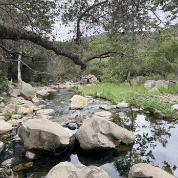


What an incredible trail! The mix of flowing water and those scattered rock formations makes every step feel like a little adventure. Going around 10 in the morning sounds perfect for soaking in the peaceful vibe without running into many people. It's a relatively easy route with plenty of spots to pause for a picnic, making it the perfect way to connect with nature and start the day surrounded by quiet beauty. read more


1 year ago
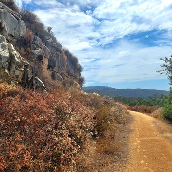
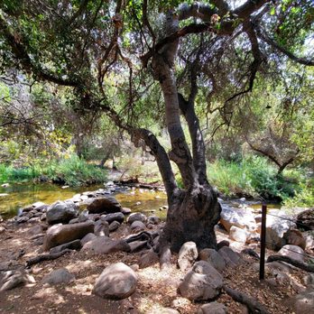
This may be my new favorite spot to hike. I can find it hard to hike sometimes because of my knee arthritis and plantar fasciitis, however this hike was worth it and didn't cause too much damage. There are many different routes you can take once you complete a steep short path. You definitely feel like a fairy frolicking amongst the flowers (cue she was a fairy sound clip). No witches spotted! But my boyfriend did get severe allergies so I would advise to take some meds if you need to before exploring. read more

4 months ago

What a beautiful find! I've passed by this Elfin Forest trail so many times on our way to Carlsbad or La Costa, such a beautiful drive. Today my husband thought to stop and explore And what a great surprise! After living in Escondido for 13 years, now we know why we see cars parked on the side of the road. We highly recommend to enjoy the natural and serene setting. read more


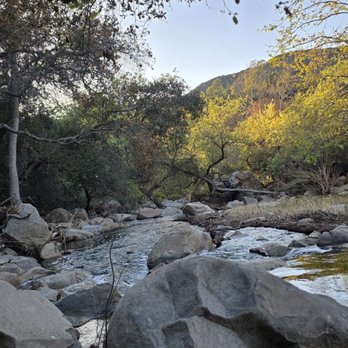


We wanted to hike in and decided to drive to Elfin Forest Recreational Reserve. We had previously looked up this trail, and it appeared straightforward enough for us. There's a small parking area at the base of the trail, with an information center open from 8am to 12pm. Before the trail starts, there are portable restrooms with hand sanitizer stations. There are no water fountains, so bring plenty of water before you start your hike. The trail was entirely in the sun by 10am. In addition to water, bring sun protection. The halfway point on the Harmony Grove Overlook trail has lovely Escondido views. We decided to push further up the mountain to Ridgetop Picnic Area. Seeing a bike repair station up there with a portable restroom surprised us. No hand sanitizer is provided up top, though. There was also a doggy poop bag dispenser, a thoughtful touch. I went further up to Escondido Overlook, which had great reservoir views. I'd recommend arriving here early to beat the sun, but there were some shaded areas with seating. Overall, we took our time going up and coming back down. We do recommend taking the long way back through a stream crossing. There are many rocks to sit under the shade and admire the stream's views and sounds. read more


2 years ago
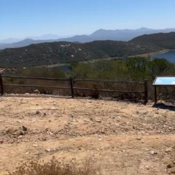
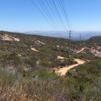
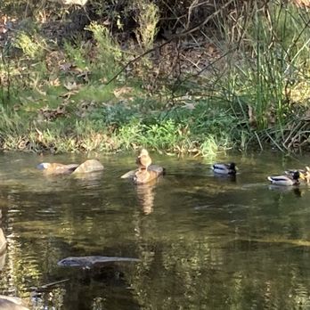
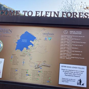
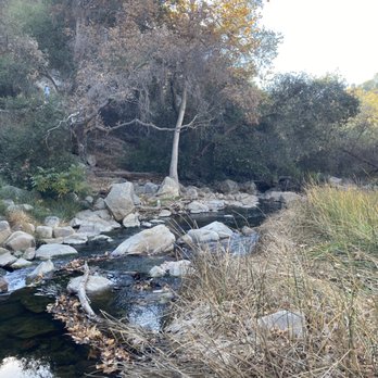
We really enjoyed the beauty of this place and the helpfulness of Carol in the Interpretive Center...she patiently answered all our questions about rattlesnakes and the alleged haunting of the area/the White Witch story. The drone-recorded film that was playing inside there showed us a good preview of the switchbacks up the hilly hike to the actual Reservoir and we decided to save that til next time when I'm not wearing flip flop type sandals. Instead, we checked out the Botanical Trail one way, and the Escondido Creek the other way; both are relatively flat, and it was extremely peaceful and pleasant. It felt like a mini vacation for sure. Parking was a little tricky, but there's an "overflow lot" we didn't immediately see. We will definitely return! read more


6 months ago
Visiting from Colorado and his hike was so beautiful! Glad we found it! We did the hike to the top and it was worth it! read more


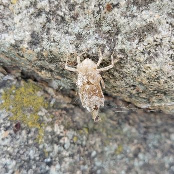
Update- I still LOVE this nature reserve. It is absolutely BEAUTIFUL. You can hike different length trails, hangout by the creek, look at dragonflies and damselflies, or check out the Interpretative Center when it is open (volunteer based)! I am in love with this place, and the Rangers who work here are really nice and truly care about the environment. read more




7 months ago

1 year ago
Beautiful spot to do some hiking! Lots of different trail options. The Way Up trail takes you a couple miles to the top of the mountain where there are lookouts over the reservoir and a a couple miles further you can see lake Hodges. Parking is tough! We got there around 9am on a Saturday and parked on the road in a little dirt patch. Not too far of a walk to get to the trail heads. There are porta-potties at the base and also at the peak of the Way Up trail. It's very rocky and steep, hiking shoes are a must and if you use poles, bring them! It's dog friendly and they had a blast. read more
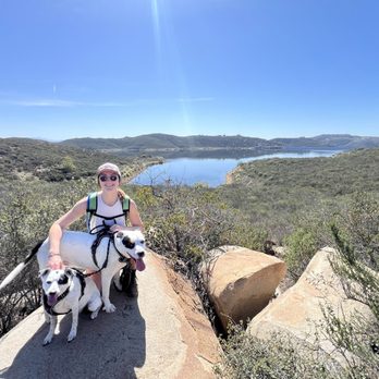


Great local spot to hike. There are 11 miles of trails to choose from for hiking, biking and horseback riding. The reserve itself consists of 784 acres. The reserve opened in 1992 and sits within the Escondido creek watershed which flows year round from Lake Wohlford to San Elijo Lagoon. One must pass over this creek to begin your hike, bike ride or equestrian ride. My friend and I arrived here on a Saturday morning and had a great day. The views are epic and you can see the Pacific Ocean, Channel Islands and Coronado Islands. Looking north you can see the San Bernardino mountain range. We brought our lunch and we were able to enjoy one of their many picnic spots. Trails are pretty easy for those in shape. Great place to take your kids and dogs will have a great time here. One of North Counties cool places to get outside and enjoy! read more
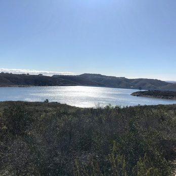


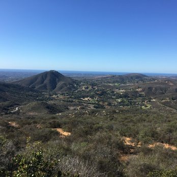


This is a pretty straight forward and well marked hiking experience. Trails are clearly marked so you should not get lost. Parking can be a challenge though. There is a dirt lot available at the staging area. If that is full you need to park in the marked areas of the road. This is also where other drivers are passing through and are guilty of speeding way too fast. That is flat out dangerous so be aware. Bicyclists are also all over the road so be weary of them. The hiking trails are rocky and going up is a moderate challenge. The other challenge is the other hikers rudely coming up from behind and immediately trying to pass. I found that annoying as I was already hiking at a fast pace and it seems like a few hikers felt a need to race by. A simple excuse me would have gone a long way. People are gonna people I guess. read more


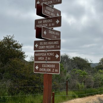


Quick tips: 1. On weekends and holidays you need to arive before 9am if you expect to park in the first lot. The overflow lot will be full by 11am. Yes they have an overflow lot. 2. Not the best hike for kids under 7. This park is family-friendly but tiny ones will find the switchbacks tough and lots of rocks will guarantee at least one scraped knee. 3. WAIT and take the Botanical Trail on your way down the mountain. Note you will need to cross a stream over rocks at the bottom (not difficult even after a heavy rain). 4. Don't be the person that brings a stroller 5. Or a mountain bike 6. Or an unleashed dog 7. On weekends the narrow road to this trail is usually blocked by hoards of cyclists. They deliberately drive in the center of the road blocking traffic. So take a few relaxing deep breaths three miles before the reserve. Note: Three stars is because the popularity and crowds. On a weekday this is a four star trail.. read more


2 years ago
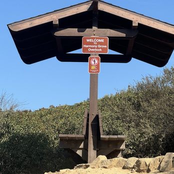
Parking isn't great here the lot is small. It's easy to get a little turned around as well so pay attention to signs. That being said this is such a great location. As you head out, there is a semi steep incline to the left but not terrible. You have multiple trails to choose from and there is so much diversity. Typical desert like setting or lush green. Lots of signs to teach about flora and fauna and very well maintained. Lots of shade mixed with openings for some sunshine on your shoulders. Awesome place to explore. read more




2 years ago

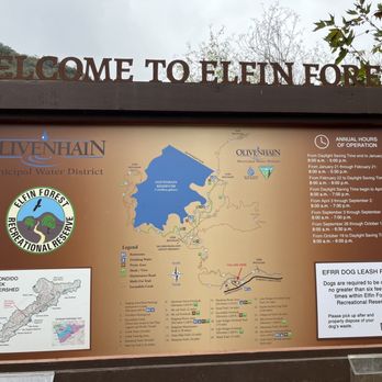
I absolutely love Elfin Forest! Perfect for family hikes and exploring nature. We had a peaceful adventure with our little. It is a perfect place to capture beautiful photos! I love seeing the gorgeous water, it is easy to cross! Definitely bring comfortable shoes to walk in and a sweater as the evening can get chilly in the forest. There are two porta potties and a trash can available near the entrance of the forest. The parking lot is small. We will definitely return! read more


1 year ago
What a wonderful place to hike, delight, and restore! The trails are well cared for, the facilities and resources at the base and at the picnic and overview sites are very well done, and the views are beautiful! Kudos to all who care for this place! read more


This reserve in the middle of Escondido is centered around the Olivenhain Dam and Reservoir. The word "Forest" is a misnomer because there were hardly any large canopy trees on the grounds. What this place has was plenty of open space and numerous smaller side trails to explore. Instead of five peaks like at Mission Trails Regional Park, the focus was ultimately on the manmade body of water. Not much shade was available so wear a hat and sunscreen and/or come at a cooler time of the year to minimize the risk of overheating and dehydration. The Way Up Trail was the most challenging portion, but I would rate it as moderate difficulty. There were enough ups and downs and length to get a good workout. More signage would be helpful at certain junctions. I had to carefully follow the directions on a hiking app to keep from straying the wrong way. If you pick the right paths, then dogs and kids can comfortably navigate the terrain. Like others have mentioned, the parking lot fills up quickly because of the 8 am opening time. read more
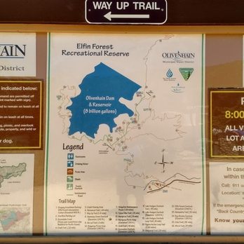


This is more of an updated review with some corrections compared to my first review. This time I went alone instead of with my friend so I could complete the Lake Hodge Overlook Trail. My Garmin watch clocked in 7 miles total in about 3 hours. The body of water you first see is actually not Lake Hodge; it is the Olivenhain Reservoir. You will be able to see the reservoir after about 1.5 mile of incline from the parking lot. At the end of the trail is where you get a view of Lake Hodge. Wear a hat and plenty of sunscreens for this hike. If you go during a weekday, there are plenty of parking spots. I got there around 11:20am on a Tuesday. read more


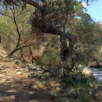


3.5 stars. The Way Up Trail is about 1.5 miles up with around 750 feet in elevation gain through a lot of switchbacks and is pretty much uphill the entire way. This section is a really good workout. Many people turn around at this point, but if you want to double your workout you can choose a bunch of other trails at this point (Pro Tip: on weekdays after your cross the 1.5 mile marker you can let your dog off leash --- please be responsible and keep an eye on your pup at all times and pick their poop). It's an additional 1.75 miles or so to the Lake Hodges Lookout.... the first half of this section is a wide fireroad, of which I am not a fan, but the second part of this section is rolling hills, and gives you nice views of both the Olivenhain Reservoir along the way, with a great view of Lake Hodges once you arrive at the lookout point. Round Trip from parking lot to Lake Hodges Lookout is 6.5-7.5miles depending upon whether you fork left or right before hitting the lookout. Elevation gain is ~1500 feet. The Way Up Trail (1.5 miles each way) can get fairly busy, while the portion to the Lake Hodges Lookout is relatively deserted. read more


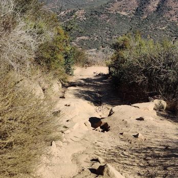
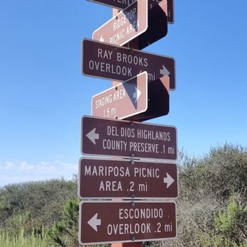
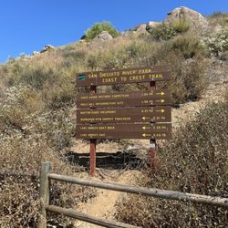
The first time I came here, I was pretty sure I wasn't ever coming back. Got to the parking lot at 8:10 AM and immediately started sweating up the Way Up Trail. My mistake was probably coming on a weekend on one of the hottest days of the summer. I spent hours dodging groups of hikers. having hiking poles on my heels, and avoiding pets pooping/vomiting. Not a fun adventure! I still gave the Elfin Forest RR a few more chances and I must say I like it way better on a calm weekday. TIPS: - arrive when it opens up for parking - wear hiking boots or at least trail shoes - you can take the Botanical Trail up/down .60 miles but you have to cross a creek with rocks (right now its easy to cross but prob higher water after autumn) - wear a mask since much of the trail up is narrow - there is an overflow lot by the road in case the main lot fills up CONS: - THERE IS ONLY ONE WAY UP/DOWN. This path can have a lot of congestion depending on when you go. - Opens at 8 AM which means it is too late for early birds The Way up Trail has markers every quarter mile. Much of the trail is also rocky. This trail ends when you pass the giant electrical tower and come across the post of brown arrows pointing to a bunch of other trails. Most people go left for the Escondido Overlook. Go right and there will be many other side trails and far less people. I don't have a dog, but there are plenty of signs about summer temperatures and making sure your dog doesn't overheat. Again, I don't have a dog but I am still baffled at the amount of dog poop on trails in the area. Daley Ranch has better variety of trails and solitude. However, the EFRR has cooler temps once you get to the overlook plus a little creek at the bottom. I prefer Daley Ranch but the parking there is hit or miss during the weekends. If you wanna burn some calories, this is a good spot in Escondido! read more






1 year ago

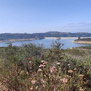
Got here at 11am and luckily there were still spots in the overflow parking lot. The way up trail to Lake Hodges viewpoint was mostly steep going up and had loose dirt and rocks so I'd recommend wearing hiking boots. It has nice views of the reservoir. One of the few hikes in San Diego that isn't brown, so it was nice to seem some green trees and shrubbery. I ended the hike with the botanical trail which ends with crossing the creek. read more
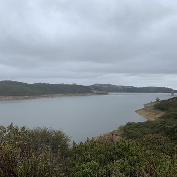


Yaasss! Love that North County has EFRR! We came from SD and so used to Mission Trails but EFRR totally beats Mission Trails... well it's not as big but I feel the hike and scenery is better. There's a dam with a lake close by that you can walk around. Parking lot opens at 7:45ish. The sign says 8 but the ranger comes a little early. It fills up fast! And if you come after 9 it's super packed and you have to park on the street or overflow parking. We've done many hikes up here. You can decide once you get to the top. We've done way up trail, Lake Hodges Overlook, Equine, Witch Trail... It all varies on the mileage. You can do a 3 mile loop or4-7 miles! Just depends. Our highest mileage was 6 mile loop. So many options and trails! It's all pretty easy. Dog friendly! But PLEASE pick up after your dogs! read more
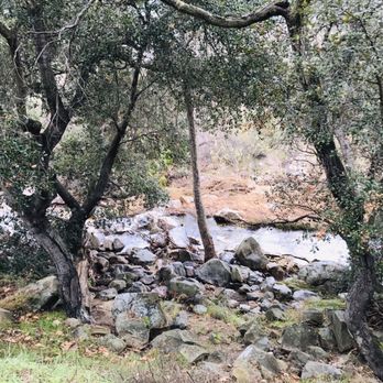


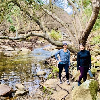


Lovely hike via the "way up trail" which leads to the lake Hodges trail view point. Parking is limited even for the overflow lot. I parked on the street and it was a .38 walk to the interpretive center. The trail is a switchback trail through up the mountain. The hike is steep for a good portion. It also has varying stone sizes ranging from pebbles to boulders that you step on. It also has dirt paths and decomposed granite. I wore hiking boots, many people wore sneakers which I wouldn't recommend. The views are gorgeous! Total hike (minus the walk I had to do to get to there) was 3.53 miles. On the way down, I took the botanical trail which was really neat. It had little signs that told neat facts about each of the plants and their ecological impact on the area. Definitely a must see hike! read more
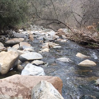
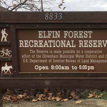
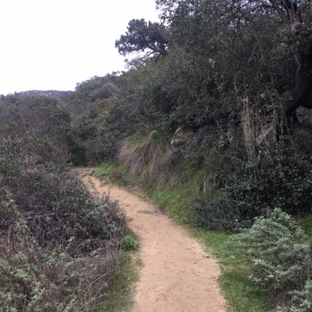


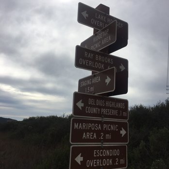


2 years ago
The park rangers here are an amazing resource for visitors to the recreational reserve. The interpretive center is beautiful and educational. The trail options are excellent for a variety of hikers. This is a gem of north county! read more


This is my contribution for "Earth Day". My wife and I have found this great place for a hike as often as possible. It is challenging but not too hard for an older couple like us. Wear appropriate footwear as it can be a little tricky on the flat sandstone type surfaces. Have fun and watch for animals !! read more


I think this reserve offers my favorite views in Escondido. We took the Up trail which is mainly switchbacks. Towards the summit you get an overlook of the reservoirs. Take advantage of the relief stations at the base as there aren't easy places to duck into the woods while hiking. A moderate incline climb but not much shade. read more

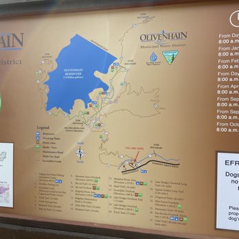


I can't believe this trail was in my backyard this whole time and I've only now started exploring the outdoors. My husband and I came here last Saturday to hike to Way Up trail going all the way to the Lake Hodges overlook point. According to AllTrails, it was. 6.3 mile out-and-back hike that took us a total time of 3:06, but active moving time around 2:50. We stopped at the end to take lots of pictures, because the water views were so pretty! Here are my tips: 1. COME EARLY I'd recommend getting here before 8:00 when the park rangers open the gate. We came at 7:50 on a Saturday morning and there were already 6-7 cars waiting in line to get in. The dirt lot is very small - I counted about 20 stalls-ish. There is an overflow parking lot, but I'm not sure how many stalls there are in that one. Otherwise, you'll be looking for street parking on Harmony Grove Road, which is very limited 2. BRING LOTS OF WATER and sunscreen/hat The trail is long and hot. From the first mile, the incline is steep with very little shade. Once you get past the first 1.5 miles and to the water reservoir damn, it gets much easier and like a flat walk for the most part 3. WATCH YOUR FOOTING There is a section of the trail that is very steep with a lot of loose large rocks. You can easily slip and fall on your way down without the proper hiking footwear and/or hiking poles (preference) 4. TAKE LOTS OF PICTURES I feel like this trail has the added bonus of not just one, but two water views, the damn and Lake Hodges. I just love water views with anything. Also, at the start of the trail, there are lots of pretty views of the Elfin Forest greenery and white rocks. I love feeling like I'm in a forest Since it's so close to my house, I'll be definitely coming back read more


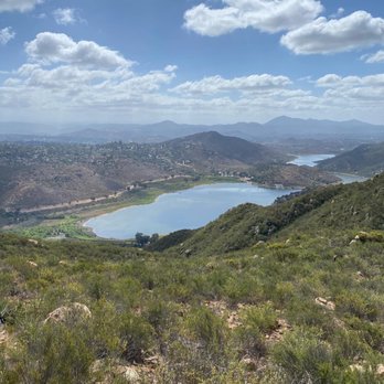


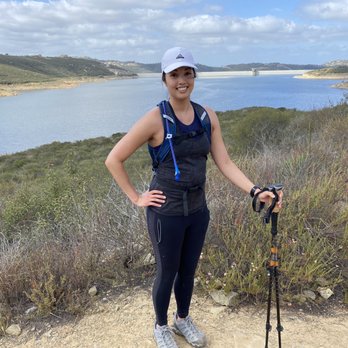


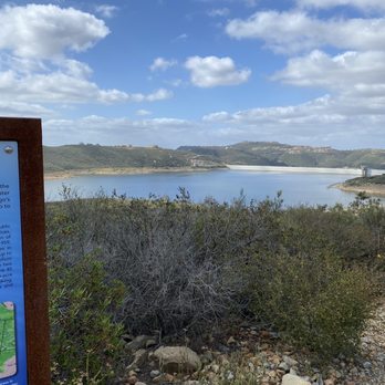

A wonderful natural area. The best part of Elfin Forest is the trails. The botanical trail has lots of plant markers telling the hiker what they're looking at, and and how that plants is important and interacts with its environment. The Way Up trail is a great way to get an outdoor workout. It's 1.1 miles of trail that takes you up to a fire access road. Once up there on the ridge, there are a dozen trail choices that go towards both Escondido in the east, or down to San Elijo hills in the west. I spent most of the day checking out several trails that branch off the Way Up Trail at the top. I will be back again soon, and often. read more
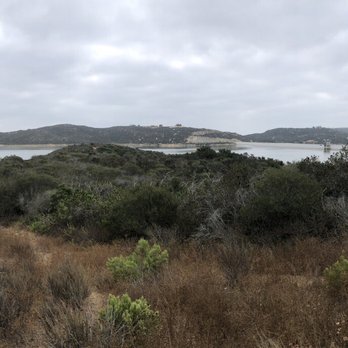


2 years ago

Nice hiking , mountain biking , and horse riding trails in south west Escondido with a great view of Lake Hodges and Olivenhain reservoir and the ocean from the top. Next to the parking lot there is a small interpretive center which may be interesting to kids. Trails are steep, rocky, and get extremely hot in the summer. Recommend the trails for athletic people and families, not a cakewalk. Bring lots of water, come early, and skip hot days. read more


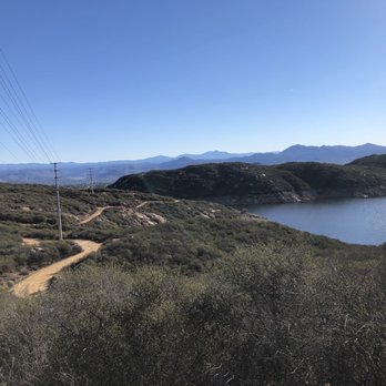
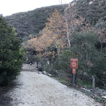
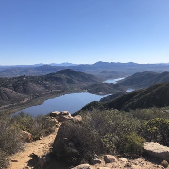


5 years ago
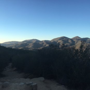
I love this place as it's my favorite local hiking spot. They have beautiful views everywhere you walk. Majority of it is also covered with trees, so it's good for shade. It's also a dog friendly place provided the dog is leashed. The people I meet on the trails are generally very friendly. I do have a cute corgi, so that may have something to do with it tho. There's also a lot of different trails that you can do. So you can do a quick walk for 30 minutes to an hour, or make it a day hike. read more


3 years ago
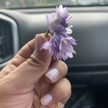
Great hiking place, enough parking and different trails. Bring allergy medicine if you suffer from seasonal allergies tho. read more


8 years ago
You can hike these trails for hours and hours. Elfin forest offers moderate hikes with loops that range from .2 miles to 3+ miles. The overlook loops were a great medium incline hike. All the fellow hikers were polite and considerate. It is dog and horse friendly. There are sparse trash cans and dog bag stations on the trail.. but once you get to the overlooks there are water fountains, bags, and trash cans. There is not much shade on this hike so be prepared and consider this for your dog as well. Free parking lot or you can park on the side of the road like some people did the day I went. read more


Great moderate trail in Escondido. Parking is free(just make sure you come earlier if you don't want to walk far to the trailhead), there are a ton of water stations and port a potties distributed around the different trails, and even a bike repair station with free tools, a bike stand and pump if you need to work on your mountain bike at all! This trail has it all! You start off by the parking lot where a stream flows through with lots of shade and beautiful trees and plants. Then you start heading up a moderate incline where the trees are replaced with chaparral and scrub, but once you're at the top you can take various trails around the damn/lake most of which end in picnic tables and shade, along with a water fountain or hose close to a bucket(if you came with a horse or dog). On weekdays if you have a well behaved dog they even allow them to be off leash! Only knock on this trail is that it's a little ways from San Diego, but other than that it's great for hikers, bike rides and equestrian riders alike...come check it out! (And watch for snakes!) read more

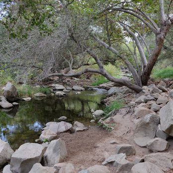
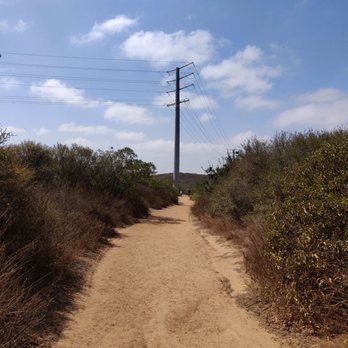


Warning! Come early or be prepared to park a mile down the street. There is over flow parking but it only has room for a handful of cars. Parking is probably the biggest drawback to the experience. The other not so great thing is the amount of dog waste on the trail. Hanging in bags from trees, in bags in the ground, unbagged on the ground. They have bags at the start of the trail, so there is no excuse not to clean up after your pet. Several sections smelled pretty bad, so please pick up after Fido! Now the good! The Elfin Forest is a great place for family hikes. There are some flat out and back trails suitable for younger kids, including a stream crossing that's kind of fun on the botanical loop. The botanical loop is a much rougher trail than the main trail. Much more loose rock and runoff damage to the trail. In addition to the river crossing, there are numerous signs explaining the local plants which can be interesting if you want to learn more about them. We did the main trail up to the picnic area. I'm not an athlete but I was able to make it to the top without to much difficulty. However, I did not bring enough water. The good news is they have a water fountain at the top. They also have a bike repair station which is pretty cool. Flat tire? They have air! And porta potties. Nice views from the top and there are even more trails to explore. Go early and have fun enjoying the outdoors! read more


Page 1 of 6
More info about Elfin Forest Recreational Reserve
8833 Harmony Grove Rd
Escondido, CA 92029
Directions
(760) 632-4212
Call Now
Visit Website
https://elfinforest.olivenhain.com
Hours
Indoor Amenities
Outdoor Amenities
From the Business
Ask the Community - Elfin Forest Recreational Reserve
What is the most kid-friendly trail? I have a 7-year old and a 5-year old. Plus, I'll have a 2-year old in a hiking backpack.
I would recommend the botanical trail...it's not as steep/rocky as the rest and it's a loop so if things go south, you can swing back. Best of luck!
Can your dog go in the water?
Hi Jojo, thank you for your interest in EFRR. EFRR does not have any designated swimming spots. The San Diego County Water Authority owns the Olivenhain Reservoir and any contact with reservoir water is prohibited at all times. No regulations…
Are there places where kids can play in the water or river?
Hi Bess, while it might be nice to cool off during the warm weather San Diego is currently experiencing, EFRR does not have any designated swimming spots. The San Diego County Water Authority owns the Olivenhain Reservoir and any contact with…
Is it true that this place is haunted?
Thanks for your interest in Elfin Forest Recreational Reserve! The truth of this matter isn’t very exciting, but the supernatural stories about EFRR and the surrounding area have no factual basis. Unfortunately, fright-seeking visitors cause habitat…
Is there any swiming spots or is it allowed?
Hi Jaime, while it would be nice during the warm weather San Diego is currently experiencing, EFRR does not have any designated swimming spots. The San Diego County Water Authority owns the Olivenhain Reservoir and any contact with reservoir water…
Which trail is the haunted one at Elfin forest? The one with the scary dolls, etc.
Thanks for your interest in Elfin Forest Recreational Reserve! The truth of this matter isn’t very exciting, but the supernatural stories about EFRR and the surrounding area have no factual basis. Unfortunately, fright-seeking visitors cause habitat…
Are there restrooms?
Yes! At the bottom of the trail and the top where the route splits.
Is this stroller friendly or is there a stroller friendly route?
I took the Way Up trail and although a good majority of the trail has flat terrain, there are portions with crevices and rocks. I myself wouldn't consider or recommend taking a stroller.…
8am seems too late to start. Is that just when the parking lot opens? Or you really can't hike it until 8? Wouldn't want to get in trouble. I know you can park on the street.
Depends on the weather, really. On a warm day, I wouldn't want to start that late, parking isn't an issue, just temperature. Cheers!
Anyone know about the quail trail or the botanical trail?? What's it like? Views?
Some photos are available at http://hikingsdcounty.com/way-traillake-hodges-overlook-elfin-forest-recreational-reserve/ (closer to the end)
Is it open yet?
Review Highlights - Elfin Forest Recreational Reserve
You might also consider

































Why does Yelp recommend reviews?
8 reviews that are not currently recommended
The reviews below are not factored into the business's overall star rating.


11 years ago
9 years ago

6 years ago

10 years ago

11 years ago
4 years ago
14 years ago
Elfin Forest Recreational Reserve - hiking - Updated August 2026
Best of Escondido
People found Elfin Forest Recreational Reserve by searching for…
Places to Take Pictures in Escondido, CA
Beautiful Views in Escondido, CA
Swimming Lakes in Escondido, CA
Hiking Trails in Escondido, CA
Waterfall Hike in Escondido, CA
Fishing Spots in Escondido, CA
Abandoned Buildings in Escondido, CA
River Swimming in Escondido, CA
Walking Trails in Escondido, CA
Horseback Riding in Escondido, CA
Natural Hot Springs in Escondido, CA
Dog Friendly Beaches in Escondido, CA
Dog Friendly Things to Do in Escondido, CA
Trending Searches in Escondido, CA
Beautiful Views near Elfin Forest Recreational Reserve
Bird Sanctuary near Elfin Forest Recreational Reserve
Blueberry Picking near Elfin Forest Recreational Reserve
Cinema near Elfin Forest Recreational Reserve
Cliff Jumping near Elfin Forest Recreational Reserve
Creeks near Elfin Forest Recreational Reserve
Cruising Spots near Elfin Forest Recreational Reserve
Dog Friendly Things To Do near Elfin Forest Recreational Reserve
Dog Friendly Trails near Elfin Forest Recreational Reserve
Flower Fields near Elfin Forest Recreational Reserve
Free Picnic Areas near Elfin Forest Recreational Reserve
Kids Activities Indoor near Elfin Forest Recreational Reserve
Kids Haircut near Elfin Forest Recreational Reserve
Lakes near Elfin Forest Recreational Reserve
Lookout Points near Elfin Forest Recreational Reserve
Movie Theatre near Elfin Forest Recreational Reserve
Nature Trails near Elfin Forest Recreational Reserve
Night Hike near Elfin Forest Recreational Reserve
Off Road Trails near Elfin Forest Recreational Reserve
Outdoor Activities near Elfin Forest Recreational Reserve
Parks near Elfin Forest Recreational Reserve
Peach Picking near Elfin Forest Recreational Reserve
Picnic Areas near Elfin Forest Recreational Reserve
Picnic Spots near Elfin Forest Recreational Reserve
Rainy Day Activities near Elfin Forest Recreational Reserve
River Swimming near Elfin Forest Recreational Reserve
Rock Quarry near Elfin Forest Recreational Reserve
Scenic Night View near Elfin Forest Recreational Reserve
Scenic Overlook near Elfin Forest Recreational Reserve
Shopping Malls near Elfin Forest Recreational Reserve
Sports Card Shops near Elfin Forest Recreational Reserve
Sunrise View near Elfin Forest Recreational Reserve
Swimming Holes near Elfin Forest Recreational Reserve
Things To Do On A Rainy Day near Elfin Forest Recreational Reserve
Trading Card Shops near Elfin Forest Recreational Reserve
Uniforms near Elfin Forest Recreational Reserve
Used Book Stores near Elfin Forest Recreational Reserve
Watch Sunset near Elfin Forest Recreational Reserve
Waterfalls near Elfin Forest Recreational Reserve
Waterfalls And Swimming Holes near Elfin Forest Recreational Reserve
Browse Nearby
BEST of Escondido, California Coffee near Elfin Forest Recreational Reserve
BEST of Escondido, California Restaurants near Elfin Forest Recreational Reserve
BEST of Escondido, California Things to Do near Elfin Forest Recreational Reserve
BEST of Escondido, California Parks near Elfin Forest Recreational Reserve
BEST of Escondido, California Breakfast near Elfin Forest Recreational Reserve
BEST of Escondido, California Lakes near Elfin Forest Recreational Reserve
BEST of Escondido, California Campgrounds near Elfin Forest Recreational Reserve
Browse Brands
Related Searches in Escondido, CA
Affordable Bike Repair Services in Escondido, California
Affordable Bike Tune Up Services in Escondido, California
Affordable Cheap Bike Tune Up Services in Escondido, California
Affordable Kayak Rental Services in Escondido, California
Affordable Road Bike Rental in Escondido, California
Best Dirt Bike Riding Spots in Escondido, California
Best Dog Hiking Trails Around Escondido, California
Best Electric Bike Rental Services in Escondido, California
Best Fishing Locations and Guides in Escondido, California
Best Nature Trails for Hiking in Escondido, California
Best Places for Horseback Riding in Escondido, California
Best Sightseeing Experiences Available in Escondido, California
Best Sledding Spots and Fun in Escondido, California
Check Out Off Road Trails in Escondido, California
Convenient Bike Sharing Programs in Escondido, California
Discover Dog Friendly Trails to Explore in Escondido, California
Discover Easy Hiking Trails Near Escondido, California
Discover Kid Friendly Hiking Trails in Escondido, California
Discover Popular Bike Tours in Escondido, California
Discover Popular Bike Trails in Escondido, California
Discover Scenic Bike Paths in Escondido, California
Discover Scenic Mountain Bike Trails Near Escondido, California
Discover Walking Parks in Escondido, California Near You
Discover a Hiking Trail in Escondido, California
Discover the Best Night Hike Trails in Escondido, California
Dog-Friendly Hikes With Dogs in Escondido, California
Enjoy Biking Adventures Around Escondido, California
Enjoy Camping Adventures Around Escondido, California
Enjoy Hiking Adventures in Escondido, California
Enjoy Kayaking Adventures in Escondido, California
Enjoy Off Leash Dog Hikes in Escondido, California
Enjoy Scenic Dirt Bike Trails Around Escondido, California
Enjoy Scenic Places to Walk in Escondido, California
Enjoy Tent Camping Spots Around Escondido, California
Enjoy a Beautiful Waterfall Hike in Escondido, California
Enjoy the Best Walking Path in Escondido, California
Enjoy the Best Walking Trails in Escondido, California
Explore BMX Bike Shops Near Escondido, California
Explore Beautiful Parks and Green Spaces in Escondido, California
Explore Bike Rentals Throughout Escondido, California
Explore Cycling Stores in Escondido, California
Explore Easy Hikes Perfect for All in Escondido, California
Explore Electric Bikes Available in Escondido, California
Explore Fun Activities to Do in Escondido, California
Explore Picnic Parks Near Escondido, California
Explore Popular Campgrounds Near Escondido, California


