Specialties
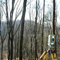
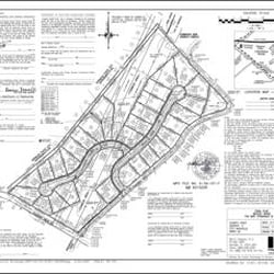
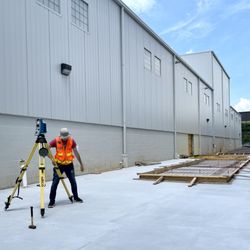
Landtech's licensed, highly qualified civil engineering and land surveying staff provide the company's clients with the information they need to make important decisions about buying, selling, developing and improving their property. We use the latest, most advanced equipment and technology, including robotic instruments, laser and infrared measuring devices, wireless data transmission, global positioning satellite systems (GPS), computer-assisted drafting and design (CADD), and electromagnetic underground utility location equipment. The company prides itself on the high-precision and accuracy of its fieldwork, and the exceptional detail and quality presentation of its civile engineering plans and survey maps and plats.
History
Established in 2009.
LandTech was founded in 2009 to provide land surveying services for the Knoxville, Tennessee area. LandTech's geographic reach soon expanded to cover all areas of East and Middle Tennessee, Southwest Virginia, Southeastern Kentucky and Western North Carolina as well. In 2013 LandTech further expanded its service offereings to include civil engineering, specializing in land development, site planning and design, and stormwater pollution prevention planning.
Meet the Business Owner: Michael L.
Mike is a registered land surveyor licensed in Tennessee, North Carolina, Virginia and Kentucky. He has a B.S. in Surveying and Mapping Science from East Tennessee State University, a J.D. from the University of Tennessee-Knoxville, and an M.B.A. from Indiana University-Bloomington. Mike has been registered as a land surveyor in Tennessee since 1994 and has worked in the land surveying, real estate and legal professions for over twenty-five years. Throughout his career, he has worked on various interesting and complex projects with challenging technical and legal requirements. He has extensive experience in all types of surveying projects and every aspect of land development. He is a member of the Tennessee Association of Professional Surveyors.