Makiki Valley Trail Photos


You might also consider


More like Makiki Valley Trail
Recommended Reviews - Makiki Valley Trail
Start your review...


Reviews With Photos


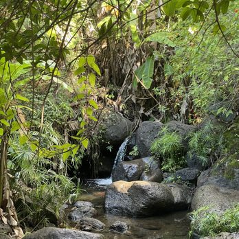
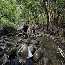
Hiking can be dangerous if you walk the dead-end or you get Lost good thing you Bring a friend or a Buddy with you good to try fruits on a tree good view at the waterfall Good Photo to take Hiking can really Let Me Lose weight and sweat


This is one of my favorite hikes. Located at the Nature Center in Makiki. There is a little parking lot and a bathroom at the beginning of the trail. This is the only bathroom on the whole trail. The hike takes about an hour and a half if you go at an enjoyable speed. It is about 3 miles long. At the beginning of the hike, you can choose to go either left or right (it's a loop). Going left starts off easy and is a slow incline uphill half way and downhill is steep, so it can he hard on knees. If you go right, it's hard in the beginning because it's a steep uphill but the other half is an enjoyable downhill. I have done both. I prefer going right and having it harder first. Bring water, a hat, wear sunscreen and mosquito repellent. It will get muddy if it's been raining, so plan to have your shoes get dirty (adds to the fun).


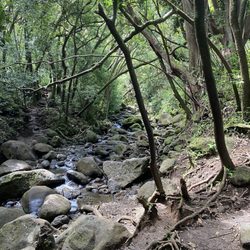
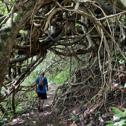
I've hiked this trail a few times and have enjoyed it each visit. On All Trails it's called Makiki Valley Loop. Trail can be hiked clockwise or counter clock wise. Counter clockwise does all the climbing at the beginning up a very root covered trail. Some people might prefer a more gradual climb. The trail takes you through a lush rainforest that follows a creek. You will hear many birds singing, pick some wild guava and may even see a wild pig. The trail does cross over a few other trails so you my want to check out All Trail to stay on loop. It's rated Intermediate, can be muddy after rain.


TL,DR: Map. Mud. MOSQUITOES. ***Helpful Tips noted with asterisks*** The Makiki Valley Trail is connected to a few different trails (Kanealole, Maunalaha, 'Ualaka'a, Moleka, Nahuina) and roads (Tantalus Road, Round Top Drive). Somewhere along Tantalus Road and Round Top Drive, the roads were closed to vehicle traffic. A sign said to turn around. It was open for foot traffic. We asked someone from the area and they said the roads were closed about a year ago due to land slides. Usually you'd be able to go all the way around by car. Input "Hawaii Nature Center" into Google Maps to find it. From the Hiker Parking Lot area, we walked through the Makiki Arboretum. This was a nice stroll on flat ground. About .4 miles according to the map. When passing the Hawaii Nature Center there are restrooms and a water fountain before the bridge. I really liked the informational signs posted along the restroom walls about Malama Hawaii and the history of Makiki Valley Watershed. ***There is a very useful map, the "Tantalus Trailway Map" in the beginning. With a QR code to different maps to help with the hike. Here's the link: https://www.tantalustrailway.org/download/ *** Shout out to the friendly Hiker that told us about the QR code on this map. I used the interactive map to track our hike/ give me motivation by looking at how much was left until we finished (LOL but forreal). Here's that one: https://www.tantalustrailway.org/dofaw/index.htm You can click the location triangle on the top right to see where you are on the trail. Disclaimer: I'm not that fit... I'm heavily into om nomzing while I Netflix/ YouTube/ Hulu and chill with the cat boyz. I made sure to prep my lungs for this hike with some puffs from my asthma inhaler (the real MVP!). We opted to explore the "Makiki Valley Loop Trail", this connects 3 trails Kanealole, Makiki Valley and Maunalaha. According to the map, .8 miles, .8 miles, and .75 miles. All together 2.35 miles. This hike took us about 3 hours (11:52am to 3pm) to complete. We were going at a comfortable walking pace. It was Sunday and there were quite a few other people we passed along the way. Not Diamond Head kind of busy, but this seems like a pretty popular hike. People brought their dogs, their babies strapped to them and grown kids. Some people were also jogging through the hike. After you cross the bridge, Kanealole is on the left side and Maunalaha is on the right side. We started with Kanealole. The forest was pretty dense, so most of it was in the shade. I didn't make use of my sunglasses like I thought I would. It was pretty muddy and slippery. ***Shoes with good grip would be helpful. And so would wearing clothes you wouldn't mind getting dirty.*** There was lots of weaving through tree roots, rocks in shallow water and tall grass. Due to the proximity to water sources (Makiki, Kanealole, and Moleka Streams), the mosquitoes here were abundant and never ending. ***Bug spray is highly recommended.*** 3 big striped mosquitos landed on my right hand while I was tying my shoelaces. They're vicious here!!! The view was pretty forest. Lotsa trees, bushes, vines, fungi, grass, running streams, and kalo. The inclines were steady and in succession. I did have to take "imaginary binocular" scenic breaks to catch my breath and drink water/ find motivation/ pray. My friend really thought ahead and planned well. She had all the snackies. Beef jerky sticks, almonds, and strawberry sour belts. Thanks for keeping me alive friend :D I was so relieved to finally see that we finished the Kanealole section and made it to the Makiki Valley portion. This is point A on the map. There was a variation of some flat ground with inclines. Views were of mountains and more forest. This area was a bit drier than Kanealole and there was more sunlight. At the end of this Makiki Valley section at point B on the map, the trail branches into 'Ualaka'a, more Makiki Valley and Maunalaha. The Maunalaha section was the driest out of the 3, but was also waaay steeper. Definitely wider climbing steps, stretch those hammys. Lotsa sunlight came through the pine trees. There view included mountains and a glimpse of the cityscape. The tree roots were endless and all tangled. I held onto trees and branches. At this point my legs were shaking in protest from all the strenuous hiking. Looking back I liked that we did the steeper side last as a decline. Our hike went gradually in difficulty instead of starting off difficult. I appreciated building towards that. Though to each their own, some people started Kanealole and then went back around. Others started from Maunalaha and ended through Kanealole. Depends on the person and their fitness levels. Be prepared. And happy nature hiking! :D


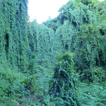
This is a truly beautiful trail. There are some areas that have plants labeled like a botanical garden. If you follow the loop, it's about a 3.5-4 mile walk through lush island jungle. There is a section where the tree vines drape over the whole valley. It's a super amazing place. The hike itself is moderate with only a few areas of steepness. I have brought a lot of guests here. I've hiked it pregnant. My husband has hiked it barefoot. No issues. There are chameleons that live here. They're hard to spot, obviously, but so cool to see. Please don't try to make them into pets.


This is a really nice, introductory hike on the island. It's not too difficult, depending on your fitness level, and it's well traversed with plenty of shade. There are restrooms near the parking lot that shares an area with a Nature Center. Went on a Tuesday morning and the summer camp kids were out and having a blast at the Center. The loop is a little over two miles. If you enter from the west side, it's pretty easy for the first quarter mile or so. The rest is all uphill and you'll get a good leg workout. Again, very well canopied with lots of fauna, streams, and a few bridges. A very nice botanical experience. If you enter from the east side, it's a lot harder, in my opinion. All uphill and drier, with rooted paths and lots of rocks. It's a good workout from that side. At midpoint, you'll see some signage of the whole Tantatulus trail system. You can enter that system by going up to the left to the Moleka trail, and another two miles you'll be at the Manoa cliffs. You can go further up for miles. Didn't have time or energy for that. Maybe some other day.

Wear good hiking shoes that you don't mind getting mud on. Be careful where it is wet as it will be slippery. Also probably mosquito repellant good idea, don't be like me and become a walking buffet for those guys. At least 1L of water a d set of dry socks after you wash your shoes at the end. Otherwise really cool hike, lots of unique vegetation. Not a hike for beginners or kids as some steps are pretty high. Good luck!


To end the warm and sunny Memorial Day weekend, we went to the Makiki Valley Trail. Being a trail, it feels more like a comfortable hike for the non-hiker. Throughout the trails roots, and rocks create a pathway that leads to streams. As we walk around the path, we encounter two bridges which cross over the streams. The bridges form a romantic backdrop to the vast nature found around the trail. This hike makes for a perfect hike for all. Families bring their children on this hike. Elderly people hike here with their friends and they use the hiking poles. An added plus: people can bring their dogs to this trail. When we finished our hike, a local woman said that the hike extends over to the mountains. She brings her 10 year old dog up the mountain so they can see below. Come and enjoy a lovely hike at the Makiki Valley Trail. Bring family, a date, or friends here.


All the elements of a lovely nature hike are here: the trees, the streams, the serenity. We enjoyed this trail immensely for its beauty as well as providing a terrific cardio workout. The first part of the loop takes you over a couple of pedestrian bridges and past streams with the relaxing sounds of babbling brooks. There is an incline for most of this part and I highly recommend wearing hiking boots or trail shoes to help you navigate the bigger rocks and lots of exposed tree roots along the way. There was a light rain before we headed out on our trek, so parts of the trail were slippery, especially the rocks with moss; the correct footwear will assist you with traction in either dry or wet conditions. The trees provide lots of shade so I could see this being especially popular in the warmer months. We didn't encounter too many other hikers which I loved. Overall, a really satisfying time in nature.


Nice shaded trail! This is rated as "moderate" on AllTrails which I think is accurate. The information guide says this is 3.2mi, 950ft elevation gain. It took me about an hour and a half to complete going in the counter clockwise direction. The first leg of the loop, the Maunahala trail, was an upwards incline all the way with a bunch of tree roots on the ground that made the ground stable. But sometimes the roots require a big step up. Children may have a tough time here. It's wide so you can catch a break off to the side if needed. No muddy/slippery parts. The second and third leg of the loop, the Makiki Valley and Kanalole trails, were mostly downhill. There were muddy/slippery parts here where it was close to the streams. I had to use my hands to balance myself while climbing down rocks a few times. I slipped a few times but was able to catch myself with my other foot before falling. I was focused in on the ground during this section so didn't get to take in the forest! Guess I'm partially to blame since I was using running shoes! It started showering right as I was finishing my hike, so I'm glad I just missed the rain during these parts. Like other hiking spots, be prepared to bring water and hiking shoes. I'm not sure which direction would be the easiest for this loop. If you go clockwise, you'll be going uphill for a longer time, and face muddy conditions, but it won't be as steep. There's no great views on this trail but you'll be surrounded and shaded by nature the whole way. There's a small botanical garden at the start of the loop too! The (free) parking lot got full by 10am but you can park along the street. There are bathrooms/water fountains next to the nature center at the beginning of the loop. I don't think this is a must-do trail if you are visiting Hawaii but is a nice mix up for locals.


Crazy hike! I thought it'll be easy but this hike was about 3 hours long! Beginning of the trail was easy until it got steep and it was getting harder to hike. Then in the middle it started to get all muddy and slippery! Didn't expect it to be a little tricky going down cuz all the tree roots and the moss on the rocks! If this is your first time I recommend wearing shoes you don't mind getting dirty, wear clothes that you don't mind getting dirty and also bring mosquito repellent if you don't like to get bitten! There's a lot of red ants on the floor so don't sit on the floor or the benches during the hike! There's no sun coming in the valley so you don't have to wear sunscreen. There's barely any sun coming in since all the trees block it. In general the hike was fun! Seeing nature and just being in fresh air. Just felt really great! The view was amazing! You can see town from the middle of the trail!


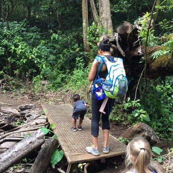
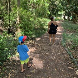
Definitely a harder hike if you have littles or baby wearing! Went in the morning around 9am and followed the instructions to park by the nature center or on the road and to start by going left as the incline would be gradual. This was a good idea until we started our decent and the other side was all webbed tree roots. It was much more difficult going down while baby wearing and it was challenging for our toddler. Overall, it was a really good hike. A little under 4 miles for the loop and it was mostly shaded. Log you have hiking boots wear them and walking sticks would definitely be helpful going up and down. Bug spray is a must as well. I think if we go again, we'll try to go right first.


This is a great hike and a good one if you want to get off the COVID couch. A loop trail with a stream, waterfalls and it seemed a neverending incline. A little muddy but not bad and surprisingly no swarms of mosquitoes. The native plants at the start of the hike set a tone for all the amazing flora along the hike. The loop is two hikes connected and at one point youll see another branch of another trail. We will give that a try next time.


6 years ago

I held off on doing Makiki Valley Loop Trail because the description of it being a combination trail consisting of Kanealole Trail, Makiki Valley Trail, and Maunalaha Trail just sounded confusing. But since I ran out of new kid friendly trails I decided to give it a go. The Hike: We followed the other Yelpers' recommendations to hike counterclockwise, starting on Maunalaha Trail. Obviously since it's a Loop Trail, there's no wrong way to go but starting on Maunalaha means you'll start your adventure climbing up a steep rooted hill which is way easier than risking a fall down the steep hill. There's honestly nothing glamorous about the trail, but there's also nothing challenging about it making this the perfect trail for beginner/novice hikers, trail runners, or families with kids who are already used to hiking; kids new to hiking may find this trail long and the hill challenging to climb. How to Get There: Enter Hawaii Nature Center into your GPS. Follow Makiki Heights Drive until it splits (left up a steep hill or straight to a narrow private looking road) and take the straight path. Park in the small lot on your left in front of the green gate OR on the right shoulder. After you park, walk past the green gate, turn right at the bathrooms, and follow the path to the trail map. Trek on Yelpers! read more


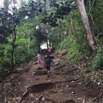


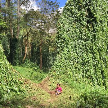


Tucked away in Makiki, the main trail entrance is easy to miss. There's a small driveway on Makiki Heights Drive lined with a couple of residential homes. Parking is available along the narrow road and there's a small parking lot to the left as you drive in. The driveway eventually leads to Hawaii Nature Center (they offer environmental educational programs) and right behind the Nature Center building are the beginning of the trails. Yes, plural. It took me a few hikes on this trail to fully appreciate what it has to offer because I didn't realize when I first hiked in Makiki Valley is that there are several trails to this hike. The trail(s) make for a good beginner/intermediate hike and depending on where you end up, there are decent views. One end of the trail ends with a nice view of Diamond Head, another end of the trail offers a partial view of the Pearl Harbor and airport area. Some parts of the trail break off into Tantalus Drive and a few other trails that I haven't ventured yet can actually take you 8 miles out into the Pali area. Many people hike Makiki and a ton of hikers are regulars who visit daily so you definitely won't be alone on the trail. The great thing is that since there are so many trails and the hikes can get lengthy, it's usually never crowded. The trails give you just about everything you should receive from a nature experience-beautiful trees and plants, the soothing sound of the streams and the leaves rustling in the wind (hopefully there's a breeze on the day you decide to hike), sweet-smelling flowers, and the list goes on. Each trail offers different routes and along the trails is a variety of "stepping stones" like actual stones, and then there are short wooden bridges, sand bags, roots of trees, etc. A narrow stream flows along some of the trail and there are wooden educational pictorials staked in the ground on some of the curves and stopping points. The pictorials include info on indigenous species and even a warning from good ol' Smoky the Bear. Need a rest stop? Not to worry-there are a few benches at the main trail end and for those of you who don't like to get too much sun, this trail is perfect because the trees create a canopy above you to shield you from a lot of direct sunlight. So in short, the trails in Makiki offer multiple trails, changing scenery-including native Hawaiian plants, educational stopping points and markers, and of course, a good time and a lot of exercise! I recommend this trail to everyone, including children and your furry family members and will definitely continue hiking in Makiki to experience all of the trails. read more


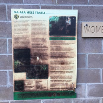
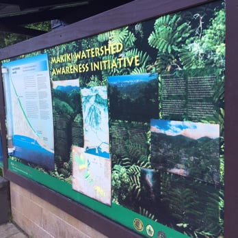

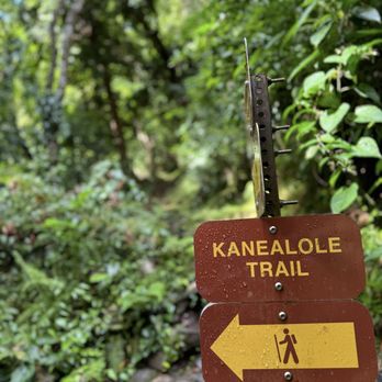
Ok, so this trail is actually made up of several trails... Kanealole, Maunalaha, Makiki Valley Trail and there are also a bunch of others you can go off and explore. The trail starts at the Hawaii Nature Center which is right after the gate. You walk a little bit by the stream and then come to a crossroad. Left to Kanealole and right to Maunalaha (both tails named after the streams that run alongside them). ******** Kanealole Tail (my review) This is the "easier" trail. It's only 0.7 miles but I would allow an hour or so for this portion since the terrain does go up and down. I will say that it wasn't hard, but my feet definitely got a work out. This hike is pretty with all the foliage and the sound of the stream. It definitely is also muddier. The trail has a good amount of gravel and roots so it's not super slippery. I didn't see any small waterfalls but you do see and hear the stream flowing as you hike which was relaxing. Most of this trip is shaded which was nice. But we were drenched in sweat because of the humidity There are mosquitos, so beware. Once you get to the sign that says Makiki Loop Trail this way, you can either turn back and go the same way you came or continue on which will lead you to the Maunalaha Trail which loops you back down or there are a few other short trails that you can explore. The Makiki Valley Trail is about 1.1 miles and goes up and down. It was mostly uphill for us since we came from the easier side. Follow the signs til you come to an open area. This is where the loop meets the other trail Maunalaha and a couple other trails you can explore. ********** Maunalaha Trail review Do you want to get some cardio done and go uphill? Do you like climbing and roots? This is definitely the way for you to start the Makiki Loop Trail. We actually decided to start the easy way at Kanealole and make our way to the Makiki Loop Trail and meet this trail so we have a downward journey back to the beginning. It's not too bad going down and it's not too steep. The ground is also pretty dry unless it rained. It is 0.7 miles but I would still allow an hour, definitely more (maybe hour half) if you start at this trail first since it's a constant uphill. Next time we will do this trip first so I'll write an updated review of our uphill climb! This trip isn't as pretty as Kanealole but you get some scenic city views here and there through the trees. ******** Overall, I would say it's easy-moderate. I would allow 2-3 hours depending on your level and if you want to take breaks. There are many mosquitos on this trail. Make sure you have lots of water and good shoes. The great thing is you can choose right or left to do the trail and loop or just choose one side and just come back the same way and skip the loop part. There are a good amount of signs to guide you. Btw there is a bathroom, picnic area and brushes/hose to help you clean off the mud on your shoes. It's a great trail for the family and dogs! read more


Up the gated driveway, past the Hawaii Nature Center & through the path of native Hawaiian plants, you'll reach the trailhead for Maikiki Valley Loop Trail where you're pointed in two directions: Kanealole Trail & Maunalaha Trail. Taking the counter-clockwise route with Maunalaha Trail leads to a slight uphill ascent, but if you like bridges, you'd be tempted to start off with Kanealole Trail as it features the soothing sound of rushing water & the constant trills of birds. Further down the trail you'll reach a section with signs signifying the start of the official Makiki Valley Loop Trail where you'll meander through a couple of streams, up around the mountain & eventually opening up to a plateau pointing you in three other directions. Complete the loop by going down Maunalaha (or down to Maikiki Valley Loop if you started counter-clockwise) or you can venture through the other trails. My recommendation--stick to the loop because you'll end up backtracking if you decide to explore this maze. The 'Ualaka'a Trail splits off between Round Top Drive and a park. Going up to Maikiki Valley Loop trail (as opposed to going down which continues the actual loop) delves into Moleka Trail which features a bountiful bamboo forest & ends at road with Manoa Cliff Hike across the street, but if you continue on 'Ualaka'a it leads out to Maikiki Drive. Although views are sparse, Makiki Valley Loop Trail is a great moderate hike for family outings due to the shade of the valley's forest canopy. read more

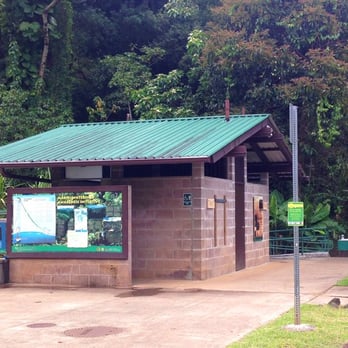

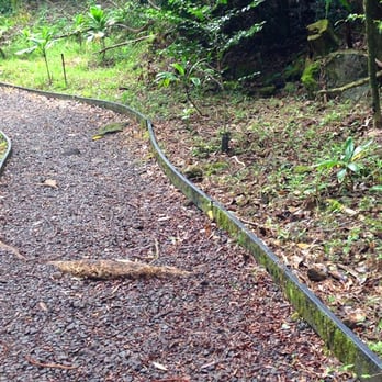
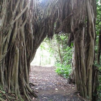

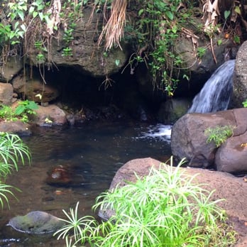

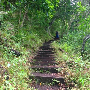


FYI: This is not da damn Makiki Valley Loop Trail! This is the Makiki Valley Trail - which might connect to Makiki Valley Loop, but I don't know if it does - and it has a separate entrance and parking. Makiki Valley Loop starts/pau at da Nature Center. This one is located halfway up Tantalus Drive. Damn Yelp deleted my previous entry for this trail + decided to mesh my MKT trail review with MVLT. Gunfunnit! -------- Great beginner/moderate 1.1 mile trail for the person trying to integrate more exercise into their life! Choke ahjummas/halmonis (old Korean women/grandmas) hike this trail early in da morning fo' exercise. Get out of their way when you see dem cuz they're pretty damn fit! No be afraid fo' say, "Good morning/afternoon!" or "Hello!' cuz most of dem are full of aloha & will smile, nod, or greet you back. Posted several pics of da entrance of dis trail, where to park & da signage. Just went dis late AM wid da BF & an old Korean man - fit and trim - completely outpaced our fat asses coming back! We've hiked this trail several times over the last 2-3 years and it's a fun trail. About 1.5 hours total .... 45 minutes maybe from da time you start @ da entrance & reach da rest stop area with da benches & about 45 minutes going back (this is based on my beginner/moderate physical level; if you like Ahnold the Governator, den of course it'll take less time den dat). It's easy going to da rest stop cuz it's mostly downhill; coming back, a lil' mo' buss ass cuz da ascent can be steep. At da end of da trail, I believe you reach a street called Roundtop Drive, den you can continue on to oddah trails, or you turn around & go back. Dis weekend we neva reach da end since BF & I are easing back into hiking again. There's also a brief "resting area" with 1 or 2 wooden benches. A cool hike cuz you're hiking under tree cover. Dea's 2 small wooden bridges to climb over, some manini rock outcrops to get over, but most of da trail is dirt, leaves & roots. A manini (small) stream or 2 hea & dea. At one point, get one lookout where you can see da city skyline or outline or whatever it is. You can see the greenery on top da valley. So solly, nevah get pics of dis. HOW I GET DEA? (DIRECTIONS) - Head mauka (towards da mountain) on Tantalus Drive. About 1/2 way up, look for da trailhead sign on da right hand side of da road. I uploaded pics of the trailhead sign/trail entrance so you know wat to look fo'. WEA TO PARK (PARKING) - Prior to da trailhead sign, get one small parking on a sweeping corner marked by wooden posts & rubbish cans. Took pics of dis, too. CONNECTS TO ODDAH TRAILS - Connects wid Kanealole& Maunalaha Trails to form da popular Makiki Valley Loop Trail & intersects with Nahuina, Ualak'aa and Moleka trails. ABUNAI YO! (DANGEROUS/PRECAUTIONS) - Sun. & Wed get hunters w/dogs going after pua'a (Hawaiian wild pig/boar). Wear brightly colored clothing (think Filipino) & if you get dog(s), keep 'em on leash, or teenk about using anoddah trail. - Wear some shoes with good grip, or a pair of hiking boots. If you get, consider bring a hiking stick cuz some parts are damp/moist & can be slippery. (One area was littered with kukui nuts & I went splat on my 'okole (butt) right aftah my BF wen warn me. :D Shame ya!) REVIEW #157 read more
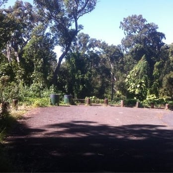


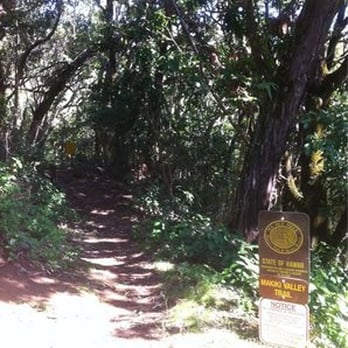


Do you remember when you could park up at the top where the trailhead is? Ok, so I'm an old fut. This was before the conservancy and other building were there. Now you have to park at the bottom of the long hill and walk up. Otherwise, the hike is exactly the same at 10+ yrs ago. When I lived in the area, I would run this ~1x/week. Everyone is quite nice on the trail and there are definitely other regulars. If you go left of the loop, it's super easy and a nice walk. If you go right of the loop, you'll hit a mini cardiac hill - which is the best way to go. Challenge wise: good sweat going up the mini cardiac hill w/all the tree branches that form natural stairs - but the rest is easy sailing. Scenery: wonderful! There is plenty of greenery, but unfortunately lots of invasive ivy. Pluses: you can connect to other Makiki trails quite easily. You can do this loop as a trail run and not get bored. Minuses: when it rains - it's mud city, no bikes allowed on the trail, and I've definitely seen a naked dude chilling in the stream (ack) Hints: if you go late, bring a flashlight -it gets dark back in the valley early. There is a fantastic tree right on the trail from which you can get delicious mountain apples. read more

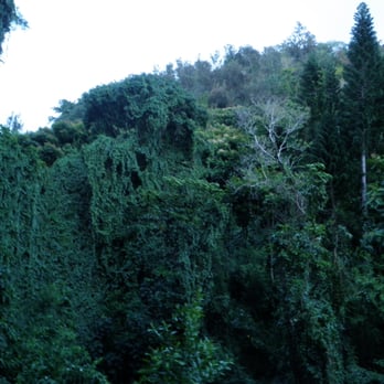

13 years ago
Makiki Valley Trail is completely breathtaking. Cindy H. and I did the Makiki Trail which based on other reviews is the Nature Trail. We encountered lots of mud, I ended up with 12 mosquito bites even though I sprayed bug spray and saw lots of greenery. We even saw a dog wearing a GPS collar with no owners around, this dog really just gets to roam these trails, lucky dog! We started our hike at the very bottom. Seriously we took the bus to Makiki Street and then walked ALL the way up Round Top Road. My sister and I dubbed it as urban hiking. Hawaiians really are friendly people, we had a nice gentlemen tell us how to get to the State Park and when my sister and I stopped at a lookout point we met this really nice family. They even called us crazy for walking up Round Top Road and not taking a taxi (what can I say, we're thrifty and like a good workout). The nice family then saw us up the road and gave us a ride to the trails. They did us a huge favor because we probably would have not done entire trail if we had to keep walking up Round Top Road. There are so many photo ops and if you're lucky enough you might see a ferrel pig. Apparently they are around but are bad for this environment. There is a stream (no waterfalls), trees and an occasional hiker. What I really enjoyed about this hike was that it was not crowded at all. One thing I did notice is if you park at the Nature Center parking can get crowded and also if you drive to the top of Round Top Rd where the trails start the parking is also crowded. read more


11 years ago
Makiki Valley Loop Trail is probably my single favorite hike. It's not terribly dynamic, but it's a great all around trail; long enough with inclines so you can work on your cardio a bit, and it's a loop, so no in and out here, just following the evolving path back to the start...and if you choose, there are plenty of offshoot trails that lead you all around Roundtop and Tantalus; such as Moleka Trail which connects to Manoa Cliff, which is a major junction in and of itself... The trailhead is up Makiki road, and it's next to Hawaii Nature Center. There is typically enough parking, though it can get busy at times...a beloved trail by the Korean community, sometimes they bring hiking tours up here as well...but ultimately, you can park off to the side of the road if needed, so you'll be fine. The trail is safe so it's great for families and dogs, too. I would call this hike "easy" instead of moderate, since it requires no climbing, is easy to find, and the trail is a loop so you literally can't get lost unless you ignore the ample signs, and it's not treacherous in any way. Anything a 95 year old Korean grandma can do as well as a 2 year old kid is "easy" in my book. Another great thing at the trailhead is a public restroom with a hose and scrub brushes so you can clean your muddy shoes. Mind you this is for everyone's use so don't be greedy...use what you need quickly and efficiently. The water is replenished from the reservoir, so the more it rains, the better the water levels...during non-rainy periods, please conserve! read more



My little girl drags me here about once a week, she loves it! She sniffs around like a maniac and poops wherever she wants. Of course, I pick up after her. Yay for dog friendly trails! I take my chihuahua terrier here all the time, we do the full loop in 1-1.5 hours (about 2.5mi.) depending on how much she is sniffing around and if she spots a wild chicken. At the trail head there are bathrooms, a covered picnic table, some benches, a water fountain, trash cans, and a shoe washing/scrubbing area for before and after your hike. It's actually pretty impressive. If you are taking your dog, just remember your poop bags and that dogs are required to be on a leash. I like to take the right trail up because it's a pretty steady uphill slope and a good workout if you keep a good pace. I love the views of the valley from this trail. It's not the the expansive 180 degree panorama you get from other well known trails on the island, but it is beautiful and serene nonetheless. And it is covered/canopied by trees virtually the entire way! However, this also means that when it rains, which it does often the much of the higher parts of the trail gets pretty muddy. It's an easy trek with more potential if you take the connecting trials. I've always felt Manoa was one of the most beautiful parts of the island. read more

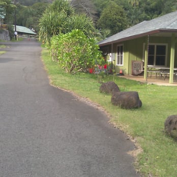
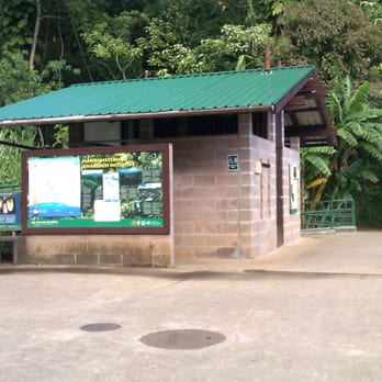


12 years ago
Park before the gate at 2131 Makiki Heights Dr., then walk up the paved road towards the restrooms. That's the trail head. The valley loop was closed today due to a landslide, so I chose to go right at the start, and take the Maunalaha Trail. It's a 580 foot ascent in .7 miles. Took 25 min up for me, and 20 min down. 1.4 miles r/t. Beautiful scents and sounds, although due to the rugged footing I had to look down the entire time. This was a cardio workout for sure. More info about the trail system (look in the white box for these trails): http://hawaiitrails.ehawaii.gov/island.php?island=Oahu read more


10 years ago
If you wanna get lost on a trail, this would be the one to get lost on. Lost of foot traffic with the hiking club and everyone's quite friendly. There's plenty of signage on the diff trails such as trail arrows or a map near rest stops and you can ask passerbys as well, some have hiked it for 20+ years. Definitely bring mosquito repellant otherwise you will be their lunch and just be prepared for mud and small streams to cross. Another great thing about this hike is that everything's connected to other trails so you can venture off and end up in completely different terrain meaning you could hike it multiple times but still get a different experience. If you start at the nature valley center, you go through dry and damp forest and rocky areas. The parking area is quite frequented and they have a clean restroom as well as brushes and water hoses to clean your muddy shoes after. read more


7 years ago
Beautiful trail with lots of shade. You can make this hike as long or short as you like. Many trails intersect. There is a medium size parking lot with very few cars when we were there. read more
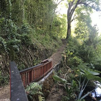


8 years ago
This trail has all the views of water stream, jungles, bamboo, top of mountain etc. Has bridges, cross streams, tree roots inclines, Nice cardio!! It's easy to find. Parking is there. There is a restroom and place we can wash shoes n legs after. We went in December so was drizzling little and muddy but weather has been good around this time so was not too bad. Mosquitoes were not too bad but bag spray better. I wonder how it is in a summer.. read more


11 years ago
A beautiful 2.5 mile loop trail with lots of different plants and a couple of great views. There is a secret treehouse (well, it's more like the ground of a house without walls or a roof) near Ualaka'a trail that is really neat and has a pretty view. read more


8 years ago
Pretty kool trail. Go left for an easier time. Go right if you want to work those legs. Very scenic. Not too challenging not too easy...just right for a good relaxing hike. You start at the Makiki Recreation Area which can be hard to find on your first visit. Loved the green moss wall! read more


15 years ago
A good workout with many possible option to explore A more jungleish style compare to other trails i've been. The Trail connects with dozen of other trail,in actual fact you can hike from here to Manoa falls (gonna be a pretty long hike) Anyway the first time we went was pretty fun climbing on logs and doing crazy stuff which is always fun but the second time it rained ! everyone was soaking went and muddy but all in all a fun hike ^^ There is hardly any view compare to other hike like Koko head and Diamond Head so it is more as a Nature Trail and Exercise ---- read more


15 years ago
Pretty decent two mile hike up and down around the Makiki Valley along the Maunalaha, Makiki Valley and Kanealole trails. Well maintained with restrooms and boot scrubbing station at the trailhead area with informative plant signage and examples of taro planting near the Nature Center. Allows access to various other trails in the valley such as the Tantalus Arboreteum, Nahaina, Ulakaa, and Moleka if you are looking for increased challenges. Lower section is great for kids and the upper trail suitable for older kids/teenagers. read more


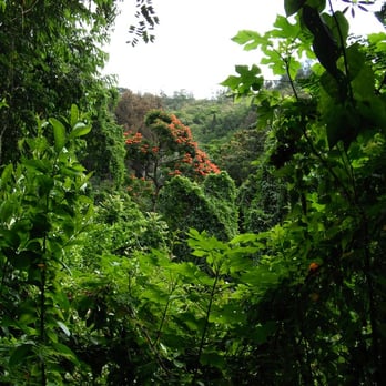
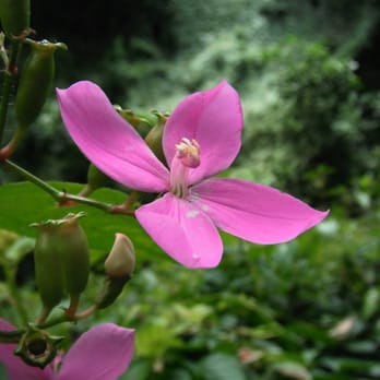

We did this hike on our last morning in Honolulu. We started the hike counterclockwise and it was a bit of a challenge, as it was all uphill this way. It wasn't too busy , but we did pass a few military guys running down the hill past us. (They meant business) The sound of river was relaxing. It was close to the house we were staying at. Short video of our experience http://youtu.be/7dEi3clN84o read more

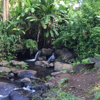
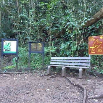


Ahhhh, I feels so nice to hike legal! Tons of parking, no broken glass everywhere (which means your car is generally car safe there) bathrooms and a water hose at the trailhead! What more could you ask for? The peaceful hike starts right at the first bridge as the sound of the stream calms your soul. Interesting pathway after another, it's not easy to get bored. Lots of greenery and sounds of birds and the many many streams going by. Some areas of the path are well maintained and some parts have eroded, so watch your kiddos steps. The path is also wide so you rarely bother anyone when passing. I very much enjoyed this hike. It is perfect for kiddos of all ages and even babywearing. An awesome beginner hike that gets you sweating and your heart pumping. There are some inclines but managable for kiddos and older adults. read more


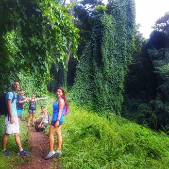
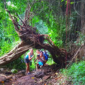

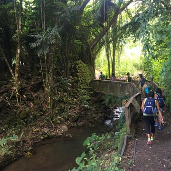

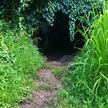


Friends and I started from the left side and hiked clockwise -- the recommended route as the left is easier to go up. A great trail for those beginner hikers who want something that just screams "adventure" without any dangers and the occasional educational signs! As for difficulty, overall... it's not hard. I suppose it is "easy." If you're like me and have terrible stamina and is totally unfit, remember to take breaks! There's lots to see if you open your eyes wide enough. It's very humid and mosquitoes are bound to bite you, unless you're lucky like me and mosquitoes happen to hate you. Some parts of the trail is muddy but nothing terrible. Just be careful! Other than the fact that the hike is well maintained and never crowded, I like knowing that there are restrooms + a shoe washing station located at the entrance of the trail. Take advantage of this!!! read more


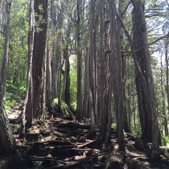


13 years ago
Do not do this after a rain! Good for people who are new to hiking. I did this trail back in July and was fun and easy. The only bad part was I did this after a heavy rain fall so it was very very muddy. The trail was advertised at 3-3.5 miles but I clocked it in at around 4. I stuck to the main loop but there are other trails that you can use. Parking is very limited so I suggest getting there early. I got in at 9am and was good to go. Hazards: mud, large twisted roots, and a bees nest in one of the rock faces. Overall a fun and easy hike with a prehistoric look and feel. read more


I've only been on this trail one other time years ago and recently did it again. Been trying to do more weekend hiking in preparation for an upcoming camping/hiking trek. The Makiki Valley Loop Trail is another one of those that offer you an escape from the hustle and bustle of Honolulu. It's located in town, great for us townies so you don't have to drive too far. It's a short trail which takes about 1.5 hours to do if you don't do much stopping. It's nicely paved. It has nice coverage for most of the way, though you'll be exposed to some rays at certain parts. It's a good beginner trail, but also offers a challenge if you want to do the loop starting from the right (I forget which trail), which leads you on a nice incline for just under a mile. There is a nice bench area almost at the halfway point (depending which side you start) so you can have a snack, take a breather, and maybe decide if you'd like to veer off onto one of the other connecting trails. Great hike to spend a couple hours enjoying some peace and quiet in nature. read more


12 years ago
4.5 stars for this one! I went on this hike with my family--to include my small dog-- and friends and their kids, so this hike is something that just about anyone can tackle. We started the hike going the Muanalaha way, which we later found to be the more strenuous way to take the loop. This trail isn't as bad as other hikes, but there are inclines and because you are surrounded trees and other plants, it's pretty humid. We stopped for water a couple of times. Once we reached the top, we have the kids snacks, the dog some water, and took in the beauty of the place. The foliage is amazing, truly a sight to see, so be sure to pack your camera. On the way down, we took the other route down, Kanealole, and it was much easier than the way we had gone up. There were spots that got a little slippery, and the kids slipped and fell a couple of times, but nothing too dangerous. Once again, the picturesque scene laid out before you is so worth stopping to snap a few pictures. Absolutely breathtaking. The nice thing here is that there are restrooms situated at the beginning of he hike, with water fountains as well. I definitely recommend this hike. Most people want to get to the top of these mountains and look at the ocean down below, and while you will not get that with this one, the scenery is just as beautiful in its own right! read more


8 years ago
Trail was fairly easy for an Oahu hike. We did the loop which is about 2.5 miles around. Go to the end of the street- Makiki Heights Drive. We parked on the left in a hiking parking area. If you walk to the end of the road, you'll see bathrooms and the start of the trail. You hike up about 5 mins before you come to the fork with the sign that tells you about the loop. We went up the trail to the left and did the full loop. Dog friendly- we saw many dogs on the trail and our 5lb dog made it just fine. This trail probably gets super muddy when it rains. Bring bug spray! Would recommend if you are looking for a shorter trail. read more


12 years ago


10 years ago
Well maintained, easy trail with many different routes. We encountered some boar hunters as it was one of the Sunday's they're permitted. They were friendly and we didn't seem to bother them as we passed. Family really enjoyed this hike as we went through differing scenery at different points in the various trails. I really enjoyed that it was a loop rather than down and back as that can be slightly boring. Trail was easy enough that our 3y/o walked a large portion of the trail and had fun looking at the lush green surrounding us. Parking was pretty easy despite it being on the weekend, we were pretty lucky to get one of the only open spots since there were classes at the nature center that day . We did have a small trek to reach the beginning of the trail from parking but nothing terrible. Bathrooms and a boot washing area are at the beginning which were terrific and much needed for my 2 small children. read more


12 years ago
It was very hot considering it rained the whole week. But the trail was somewhat muddy in different areas. I love doing this hike after work and do it non stop great cardio but hate going alone. read more


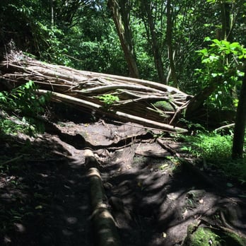


14 years ago

Length: 1hour 15 minutes Difficulty: beginner The way: drive up Makiki Heights Dr (on google maps it will be near Halau Ku Mana Charter School) then drive straight and to your left you'll see parking for hikers and the gate in front of you. Once parked you can take the "Makiki Arboretum trail" or take the paved road up to Maunalaha/Kanealole trail they'll both take you to the same place. The Makiki Valley Loop is the Maunalaha, Kanealole, and Maikiki Valley trails combined. You'll happen upon some structures and feel like you're in someone's backyard. Continue until you see a picnic table and some restrooms (these restrooms are very clean and well kept). Now you'll cross a bridge and veer left. You'll see a small taro garden to your left and you'll reach a fork and a sign for the Makiki Valley Loop trail. If you go left you'll take Kanealole trail up and if you go right you'll take the Maunalaha trail up. Regardless, the trail is a loop. The trail is beginner level but that doesn't mean there won't be areas that will make you sweat. You'll have to walk on some flat ground, climb some stairs, and climb some tree roots. The trail is highlighted by signs that tell a story of the flora, fauna, conservation efforts, and history of the area. Near the beginning there's even signs pointing out the various plant species. There's no spanning views of anything or a huge waterfall at the end of this hike, but it's a nice leisurely stroll if you happen to have the time. It's also good for people of all ages, so bring the whole family! Overall, a nice beginner level hike with nice lessons on the animals, plants, and history of the region. read more


More info about Makiki Valley Trail
Makiki Valley Trail Reviews in Other Languages
Ask the Community - Makiki Valley Trail
Good for toddlers? 2&4?
Review Highlights - Makiki Valley Trail
You might also consider































Why does Yelp recommend reviews?


Makiki Valley Trail - hiking - Updated August 2026
Best of Honolulu
People found Makiki Valley Trail by searching for…
Waterfall Hike in Honolulu, HI
Places to Take Pictures in Honolulu, HI
Abandoned Places in Honolulu, HI
Walking Groups in Honolulu, HI
Running Trails in Honolulu, HI
Natural Hot Springs in Honolulu, HI
Coffee Plantation Tour in Honolulu, HI
Dog Friendly Hiking Trails in Honolulu, HI
Dog Friendly Things to Do in Honolulu, HI
Bird Sanctuary in Honolulu, HI
Secluded Spots in Honolulu, HI
Running Routes in Honolulu, HI
Urban Exploration in Honolulu, HI
Trending Searches in Honolulu, HI
Antiques near Makiki Valley Trail
Barbershop For Men near Makiki Valley Trail
Bike Shop near Makiki Valley Trail
Bird Sanctuary near Makiki Valley Trail
Cliff Jumping near Makiki Valley Trail
Consignment Shops near Makiki Valley Trail
Cruising Spots near Makiki Valley Trail
Dog Friendly Things To Do near Makiki Valley Trail
Ear Piercing near Makiki Valley Trail
Eyebrow Threading near Makiki Valley Trail
Flower Fields near Makiki Valley Trail
Kids Haircut near Makiki Valley Trail
Lakes near Makiki Valley Trail
Mini Golf near Makiki Valley Trail
Parks near Makiki Valley Trail
Pedicure near Makiki Valley Trail
Permanent Makeup near Makiki Valley Trail
Picnic Areas near Makiki Valley Trail
Preschools near Makiki Valley Trail
Public Golf Courses near Makiki Valley Trail
Public Pools near Makiki Valley Trail
Rock Quarry near Makiki Valley Trail
Scenic Night View near Makiki Valley Trail
Scenic Overlook near Makiki Valley Trail
Sunrise View near Makiki Valley Trail
Swimming Holes near Makiki Valley Trail
Trading Card Shops near Makiki Valley Trail
Used Furniture Stores near Makiki Valley Trail
Browse Articles
Browse Nearby
BEST of Honolulu, Hawaii Coffee near Makiki Valley Trail
BEST of Honolulu, Hawaii Things to Do near Makiki Valley Trail
BEST of Honolulu, Hawaii Restaurants near Makiki Valley Trail
BEST of Honolulu, Hawaii Breakfast near Makiki Valley Trail
BEST of Honolulu, Hawaii Walking Trails near Makiki Valley Trail
BEST of Honolulu, Hawaii Parks near Makiki Valley Trail
BEST of Honolulu, Hawaii Campgrounds near Makiki Valley Trail
BEST of Honolulu, Hawaii Sightseeing near Makiki Valley Trail
Browse Brands
Related Searches in Honolulu, HI
Best Dog Hiking Trails Around Honolulu, Hawaii
Best Fishing Locations and Guides in Honolulu, Hawaii
Best Nature Trails for Hiking in Honolulu, Hawaii
Best Places for Horseback Riding in Honolulu, Hawaii
Best Sightseeing Experiences Available in Honolulu, Hawaii
Best Waterfalls and Swimming Holes in Honolulu, Hawaii
Discover Dog Friendly Trails to Explore in Honolulu, Hawaii
Discover Easy Hiking Trails Near Honolulu, Hawaii
Discover Kid Friendly Hiking Trails in Honolulu, Hawaii
Discover Popular Bike Trails in Honolulu, Hawaii
Discover Scenic Mountain Bike Trails Near Honolulu, Hawaii
Discover Top Nature Parks to Visit in Honolulu, Hawaii
Discover Walking Parks in Honolulu, Hawaii Near You
Discover a Hiking Trail in Honolulu, Hawaii
Discover the Best Night Hike Trails in Honolulu, Hawaii
Dog-Friendly Hikes With Dogs in Honolulu, Hawaii
Enjoy Camping Adventures Around Honolulu, Hawaii
Enjoy Kayaking Adventures in Honolulu, Hawaii
Enjoy Off Leash Dog Hikes in Honolulu, Hawaii
Enjoy Tent Camping Spots Around Honolulu, Hawaii
Enjoy a Beautiful Waterfall Hike in Honolulu, Hawaii
Enjoy the Best Walking Path in Honolulu, Hawaii
Enjoy the Best Walking Trails in Honolulu, Hawaii
Explore Easy Hikes Perfect for All in Honolulu, Hawaii
Explore Fun Activities to Do in Honolulu, Hawaii
Explore Popular Campgrounds Near Honolulu, Hawaii
Explore Popular State Park Destinations in Honolulu, Hawaii
Explore Top Dog Parks in Honolulu, Hawaii Near You
Explore the Best Beach Spots in Honolulu, Hawaii
Family Friendly Hiking With Kids in Honolulu, Hawaii
Find Cozy Camping Cabins in Honolulu, Hawaii
Find Popular Ziplining Spots Around Honolulu, Hawaii
Find Top Dog Friendly Parks to Visit in Honolulu, Hawaii
Find Top-Rated Waterfalls in Honolulu, Hawaii Now
Find the Best Parks for Picnics in Honolulu, Hawaii
Hiking Trails With Waterfalls in Honolulu, Hawaii
Off Leash Dog Hiking Trails in Honolulu, Hawaii
Picnic Areas With BBQ Pits Available in Honolulu, Hawaii
Popular Outdoor Activities to Try in Honolulu, Hawaii
Popular Picnic Spots to Visit in Honolulu, Hawaii
Popular Waterfall Hiking Trails in Honolulu, Hawaii
Safe and Fun Parks for Kids in Honolulu, Hawaii
Top Hiking Trails to Explore in Honolulu, Hawaii
Top Playgrounds for Kids to Enjoy in Honolulu, Hawaii
Top Running Trails to Explore in Honolulu, Hawaii
Top Swimming Spots and Pools in Honolulu, Hawaii
Top Things to Do With Kids in Honolulu, Hawaii
Top-Rated Camping Sites in Honolulu, Hawaii


