Monterey Bay Coastal Trail Photos



You might also consider


More like Monterey Bay Coastal Trail
Recommended Reviews - Monterey Bay Coastal Trail
Start your review...


Reviews With Photos


This trail was clean, safe, and peaceful. We walked it from Cannery Row to Fisherman's Wharf and really enjoyed the experience. Along the way, we passed cyclists and people out walking their dogs. It made for a relaxing and scenic stroll. Overall it was a pleasant experience walking this trail.


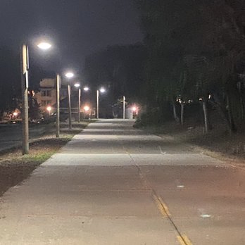
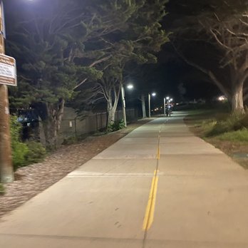
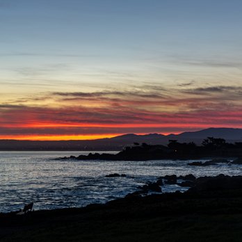
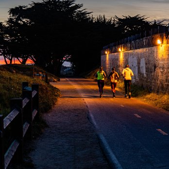
You know how it is. Jamie W. and I spent most of the day trapped in a car driving on a meandering route from LA, and we didn't arrive in Monterey until well into dusk. Our conundrum was that we didn't have many steps on our respective FitBits, and we were bereft at the thought of falling well short of our step goals. We had read about this trail on our way up and thought it could provide our salvation even in the dark. We had no idea the trail stretched for eighteen miles, but it was out-and-back, so we could stop and turn around at any point. We started at the most crowded point in Cannery Row where the paved trail was well lit. True you don't get the expansive coastal views of Monterey Bay at night, but we could still make out the small boats in the moonlight. Old Fisherman's Wharf was also lit up by holiday decorations. That in itself generated plenty of foot traffic especially as they installed an adjacent ice rink that attracted a lot of families. We continued our hike onto Del Monte Avenue, and even though the trail was getting darker, we never felt unsafe. That was because local residents freely used the trail for jogging and cycling throughout the evening. We could well envision the scenic virtues of this trail in the daylight, but we were just happy to get the steps before heading to bed. RELATED - Exploring the Monterey Peninsula? Here's a collection of places I've visited and reviewed: http://bit.ly/2NYr6be


We were invited down to the Monterey peninsula for an extended stay. As such I like to maximize my time away from home. We purchased foldable e-bikes during the pandemic when outdoor activities were safe, and thought a bike ride on the Monterey Peninsula would be nice. Our friends' timeshare was located in the city of Marina outside of Monterey proper. We asked the front desk about bike trails, and a bike map was provided for reference. Fortunately for us the Trail was nearby. The Trail runs from Castroville down to Lovers Point in Pacific Grove totally 18 miles. We biked from the timeshare and headed out on Reservation Road passing WalMart on the right to the Trail which ran parallel to the old Southern Pacific Railroad tracks. We spotted the tracks and knew we were going the right way. We got about two miles and noticed a gate into Fort Ord Dunes State Park. We read the signage. This trail went for 4 miles. It was the Sanctuary Scenic Trail. We decided to bike it. We encountered both walkers and other cyclists along the trail. We glanced over to the Coastal Trail to our left as we headed south. Later we approached the city of Seaside. This is where we picked up the Monterey Bay Coastal Trail again. So scenic from Seaside into Monterey proper as you're hugging the Monterey Bay. As we got closer to Monterey proper, there were more walkers and cyclists so be prepared to ring your bike bell if needed. We rode all the way to Lovers Point in Pacific Grove. We took an quick break and then headed back north to Marina. Round trip it took us approximately 27 miles. My only concern on the Trail were areas of sand. I've fallen when my tire got caught in the stuff. Fortunately I stayed upright the entire time. Our little foldable e-bikes with 20 inch tires got us there and back.


Great trail to walk in the early morning before the Monterey Bay Aquarium opens. Easy path where people walk or bike. I saw the harbor seals and their pups. It was early April and it was their mating season! Apparently there were twenty that were recently born. Just walk and see the beautiful blue color of the sea and the flowers that are in bloom.


Too Big to Trail The Monterey Bay Coastal Trail (MBCT) is massive and stretches for 18-miles along the coast; starting from Castroville in the north, and ending in Pacific Grove in the south. The Good: *Free access and free parking--but watch the signage! *Splendid views all along. *Bike and pup-friendly *woof* *Trail is in terrific shape from what we've seen. The AC is in good shape and even the dirt sections are well-compacted due to being well-used. *Lots to see along the MBCT--such Cannery Row and the Aquarium in Monterey, to tons of parks and a Lighthouse down in Pacific Grove. The Meh: *Can be busy in certain stretches so be prepared to deal with the usual rude trail antics. *Not much shade along it, but you're on the coast so heat should be the least of your concerns. Def pack a hat and sunscreen, tho. The Ugly: *Restrooms are far and few between so plan accordingly. TLDR: The MBCT is epic and not to be missed by wanderers, amblers or sojourners alike!
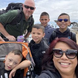

When I lived in Monterey I lived on this trail. Always feels like home. Now I enjoy walking this trail with my family. The most beautiful trail!


Such an amazing view! Clear water, clean beach, and so Many sand pipers. This was our first visit to this part of the coast.


This is a must-do every time we are in the area. There are so many beautiful sights along the way. You should see otters and sea lions and maybe more if you are lucky. Either a run or a bike ride is a must-do for everyone. It's a pretty easy trail and is pretty flat throughout. Just make sure to watch out for the occasional crazy speedy bicyclists.


I haven't gone on the whole thing but usually start in Monterey right across from El Estero Park. From here you can follow the trail all the way to Pacific Grove if you want. Bicycle, running, or walking are all options. You will pass by Fisherman's Wharf, San Carlos Beach, and Cannery Row before reaching the Pacific Grove side (Berwick Part, Lover's Point). Between San Carlos Beach and the Old Fisherman's Wharf, there is an extremely wonderful spot to watch seals and sea otters. If you're visiting from out of town, the best option is to either bring your own bicycling gear, or you cant rent gear from Adventures by the Sea (Bikes, Kayaks, Paddle Boards, Tours). For people living here: you seriously can't find a better place nearby to bike or run.


A great path to view the bay. Most of the trail is shared with cyclists and is part of the 17 mile scenic way. Downtown Fisherman's Wharf is full of tourists. The eastern side takes you to some dunes and city parks with trees and volleyball courts. If you head to Lover's Point you will get more coastal jetty views.
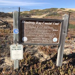

I do love a good hiking trail! What makes this trail so unique, in my opinion, is the length of it. And the many areas of access available. You can take it all the from Marina to Monterey. I chose this day to park behind the Costco in Sand City and access it walking back towards Marina/Fort Ord. You share the trail with cyclists, so be careful. So far I have not had any problems with that. And a certain part of the trail is dedicated to those on foot. It is a gorgeous coastline trail that leads into the Ford Ord area when you head North. Loads of lizards, birds and chaparral. And of course, the Monterey Pines are alwasy in view. If you take the route I did, much of it does not have an ocean view. So if that is what you want, then head towards Monterey. Wear a hat and sunscreen! Cheers and happy hiking!


We absolutely love to walk here. When we stay in Monterey we try to get hotels close enough to take a walk in the morning or evening here. It is a beautiful walkway that you can leisurely take in the coastal beauty of Monterey. There is also a biking trail that and we have seen a lot of dogs being walked here by locals and travelers. This is a must when you are in Monterey.


We stopped to walk along this trail in Pacific Grove for a while, and it was a gorgeous day for it. Our 13-year-old dog, Zoey, cannot walk far anymore, so we brought a stroller. This path is not the best place for one, but we made do. First, though, we took her down to the water. We did not explore the tidepools on this occasion, but Zoey had a great time walking in the ocean water. In this area, the tide moved in a gentle motion, yet it still managed to sneak up on me and get my shoes wet! The path was alive with vibrant color today, and offered lovely views. Unfortunately, some cars drive faster than they ought to on this road considering how close the walking path is situated to it. read more



Gorgeous views on this trail! It's all paved and flat so very easy on the knees. There's a Pacific Cove section and a Monterey section and both offer gorgeous views. There was tons of street parking however I came on a ml day morning so I imagine weekends can get crazy so come early. read more


1 year ago
This trail was clean, safe, and peaceful. We walked it from Cannery Row to Fisherman's Wharf and really enjoyed the experience. Along the way, we passed cyclists and people out walking their dogs. It made for a relaxing and scenic stroll. Overall it was a pleasant experience walking this trail. read more


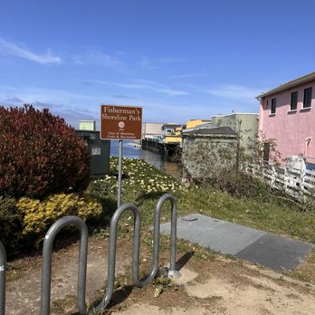


You know how it is. Jamie W. and I spent most of the day trapped in a car driving on a meandering route from LA, and we didn't arrive in Monterey until well into dusk. Our conundrum was that we didn't have many steps on our respective FitBits, and we were bereft at the thought of falling well short of our step goals. We had read about this trail on our way up and thought it could provide our salvation even in the dark. We had no idea the trail stretched for eighteen miles, but it was out-and-back, so we could stop and turn around at any point. We started at the most crowded point in Cannery Row where the paved trail was well lit. True you don't get the expansive coastal views of Monterey Bay at night, but we could still make out the small boats in the moonlight. Old Fisherman's Wharf was also lit up by holiday decorations. That in itself generated plenty of foot traffic especially as they installed an adjacent ice rink that attracted a lot of families. We continued our hike onto Del Monte Avenue, and even though the trail was getting darker, we never felt unsafe. That was because local residents freely used the trail for jogging and cycling throughout the evening. We could well envision the scenic virtues of this trail in the daylight, but we were just happy to get the steps before heading to bed. RELATED - Exploring the Monterey Peninsula? Here's a collection of places I've visited and reviewed: http://bit.ly/2NYr6be read more





4 years ago
We were invited down to the Monterey peninsula for an extended stay. As such I like to maximize my time away from home. We purchased foldable e-bikes during the pandemic when outdoor activities were safe, and thought a bike ride on the Monterey Peninsula would be nice. Our friends' timeshare was located in the city of Marina outside of Monterey proper. We asked the front desk about bike trails, and a bike map was provided for reference. Fortunately for us the Trail was nearby. The Trail runs from Castroville down to Lovers Point in Pacific Grove totally 18 miles. We biked from the timeshare and headed out on Reservation Road passing WalMart on the right to the Trail which ran parallel to the old Southern Pacific Railroad tracks. We spotted the tracks and knew we were going the right way. We got about two miles and noticed a gate into Fort Ord Dunes State Park. We read the signage. This trail went for 4 miles. It was the Sanctuary Scenic Trail. We decided to bike it. We encountered both walkers and other cyclists along the trail. We glanced over to the Coastal Trail to our left as we headed south. Later we approached the city of Seaside. This is where we picked up the Monterey Bay Coastal Trail again. So scenic from Seaside into Monterey proper as you're hugging the Monterey Bay. As we got closer to Monterey proper, there were more walkers and cyclists so be prepared to ring your bike bell if needed. We rode all the way to Lovers Point in Pacific Grove. We took an quick break and then headed back north to Marina. Round trip it took us approximately 27 miles. My only concern on the Trail were areas of sand. I've fallen when my tire got caught in the stuff. Fortunately I stayed upright the entire time. Our little foldable e-bikes with 20 inch tires got us there and back. read more


Great trail to walk in the early morning before the Monterey Bay Aquarium opens. Easy path where people walk or bike. I saw the harbor seals and their pups. It was early April and it was their mating season! Apparently there were twenty that were recently born. Just walk and see the beautiful blue color of the sea and the flowers that are in bloom. read more
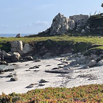


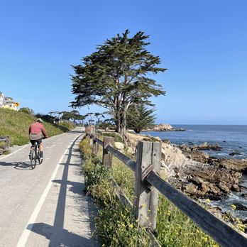




Too Big to Trail The Monterey Bay Coastal Trail (MBCT) is massive and stretches for 18-miles along the coast; starting from Castroville in the north, and ending in Pacific Grove in the south. The Good: *Free access and free parking--but watch the signage! *Splendid views all along. *Bike and pup-friendly *woof* *Trail is in terrific shape from what we've seen. The AC is in good shape and even the dirt sections are well-compacted due to being well-used. *Lots to see along the MBCT--such Cannery Row and the Aquarium in Monterey, to tons of parks and a Lighthouse down in Pacific Grove. The Meh: *Can be busy in certain stretches so be prepared to deal with the usual rude trail antics. *Not much shade along it, but you're on the coast so heat should be the least of your concerns. Def pack a hat and sunscreen, tho. The Ugly: *Restrooms are far and few between so plan accordingly. TLDR: The MBCT is epic and not to be missed by wanderers, amblers or sojourners alike! read more





3 years ago
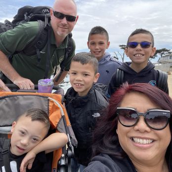
When I lived in Monterey I lived on this trail. Always feels like home. Now I enjoy walking this trail with my family. The most beautiful trail! read more


3 years ago
Such an amazing view! Clear water, clean beach, and so Many sand pipers. This was our first visit to this part of the coast. read more


5 years ago

This is a must-do every time we are in the area. There are so many beautiful sights along the way. You should see otters and sea lions and maybe more if you are lucky. Either a run or a bike ride is a must-do for everyone. It's a pretty easy trail and is pretty flat throughout. Just make sure to watch out for the occasional crazy speedy bicyclists. read more


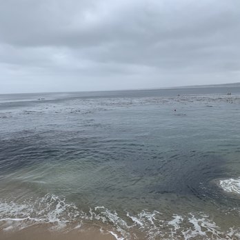


I haven't gone on the whole thing but usually start in Monterey right across from El Estero Park. From here you can follow the trail all the way to Pacific Grove if you want. Bicycle, running, or walking are all options. You will pass by Fisherman's Wharf, San Carlos Beach, and Cannery Row before reaching the Pacific Grove side (Berwick Part, Lover's Point). Between San Carlos Beach and the Old Fisherman's Wharf, there is an extremely wonderful spot to watch seals and sea otters. If you're visiting from out of town, the best option is to either bring your own bicycling gear, or you cant rent gear from Adventures by the Sea (Bikes, Kayaks, Paddle Boards, Tours). For people living here: you seriously can't find a better place nearby to bike or run. read more

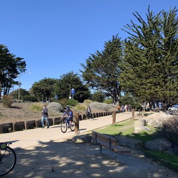

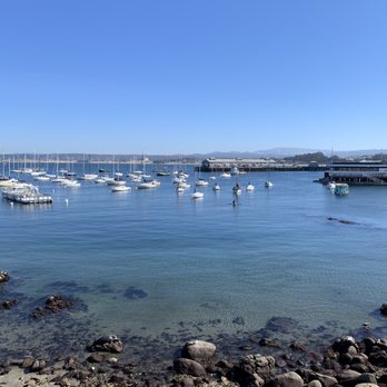

A great path to view the bay. Most of the trail is shared with cyclists and is part of the 17 mile scenic way. Downtown Fisherman's Wharf is full of tourists. The eastern side takes you to some dunes and city parks with trees and volleyball courts. If you head to Lover's Point you will get more coastal jetty views. read more


6 years ago
I do love a good hiking trail! What makes this trail so unique, in my opinion, is the length of it. And the many areas of access available. You can take it all the from Marina to Monterey. I chose this day to park behind the Costco in Sand City and access it walking back towards Marina/Fort Ord. You share the trail with cyclists, so be careful. So far I have not had any problems with that. And a certain part of the trail is dedicated to those on foot. It is a gorgeous coastline trail that leads into the Ford Ord area when you head North. Loads of lizards, birds and chaparral. And of course, the Monterey Pines are alwasy in view. If you take the route I did, much of it does not have an ocean view. So if that is what you want, then head towards Monterey. Wear a hat and sunscreen! Cheers and happy hiking! read more
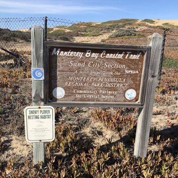

3 years ago
Absolutely beautiful. We brought our four kids along for the hike and took so many amazing photos. read more




We absolutely love to walk here. When we stay in Monterey we try to get hotels close enough to take a walk in the morning or evening here. It is a beautiful walkway that you can leisurely take in the coastal beauty of Monterey. There is also a biking trail that and we have seen a lot of dogs being walked here by locals and travelers. This is a must when you are in Monterey. read more

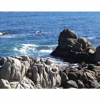

Love this coastal trail! Driving in Monterey could be a drag and if you are visiting the Fisherman's Warf could make it even more difficult to find parking on weekend. So my recommendation to you is to get on a bike and bike around town along the Monterey Bay Coastal Trail. On the day we visited we road 15 miles and I loved every mile of it. If I remember correctly it is about 18 miles long with fabulous views of the Monterey Bay, Pacific Grove and the best part is the sea life you will get to see. If your not into biking than you can walk the trail. I am so thankful this trail is here it is why we had such an amazing trip while visiting Monterey Bay. read more


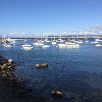

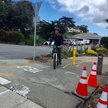

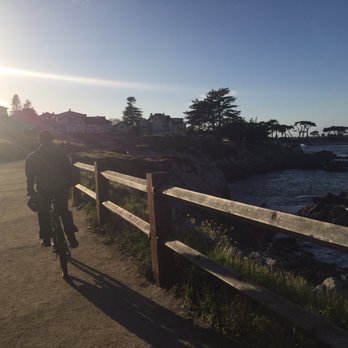


This is most definitely a beautiful walking/cycling trail. MBCT starts in Castroville and travels to Pacific Grove and is approximately 18 miles long. You'll be pleased to know that this trail offers a few challenging climbs and some fast downhill. You can also choose to take a different path which travels parallel to the coastal trail but is along Highway one, adjacent to old Fort Ord California. The path is mostly kept free of debris and obstruction. The scenery is captivating and ever changing. The only negative that I can think of are; the wind tends to change direction in the middle of the day - so, you have a headwind on your way to Pacific Grove and you're hoping for a tailwind on your return = might not happen. There is also a small population of "urban outdoor men and women" that have their encampments set up mighty close to the trail. Don't let the negative deter you because there is so much to be seen, felt, heard and enjoyed out on the Monterey Bay Coastal Trail. read more


One of the most picturesque bike pedestrian trails in the country is right here in Monterey, the Monterey Bay Coastal Trail, This trail was developed from the old Southern Pacific railroad which served the sardine canneries in old Monterey. When the canneries closed, the railroad was abandoned, and transformed by the surrounding cities into an 18 mile paved trail for bicyclists and pedestrians, stretching from Castroville to Pacific Grove. I ran or rather jogged and walked the 14' wide 1.5 mile asphalt paved portion from Portola Plaza in old Monterey, over the highway tunnel under the Presidio, past Monterey's fisherman's wharf, through parks, past beaches, past historic landmarks, world famous hotels and restaurants, past busy Cannery Row, to the Monterey Aquarium. You can see sea lions, harbor seals sunbathing on the rocks and beaches, sea gulls, herons, and otters on their backs in the water chomping abalone -better table manners than my Chinese countrymen! Continue on the pedestrian/bike path past the Monterey Bay Aquarium, 5 miles on Pacific Grove Ocean Boulevard, through Pacific Grove, past American Tin Cannery Mall, historic Victorian bed and breakfast mansions, and Lovers Point, where the path becomes a narrow dirt path, around the Pacific Grove golf course, past the Lighthouse, to Asilomar Conference Grounds, Asilomar beach and onto 17 mile drive in Carmel, where the path ends at the Spanish Bay golf course . No pedestrian nor bike lanes on 17 mile drive. It is rare to see such a long paved bike/pedestrian trail alongside the ocean. It reminds me of the beautiful Wailea paved pedestrian trail in southern Maui or the eastern Kauai bike/pedestrian trail near Kapaa, both also along the ocean. The eastern Kauai trail is just as wide, but not quite as scenic, even though it's in Hawaii. read more

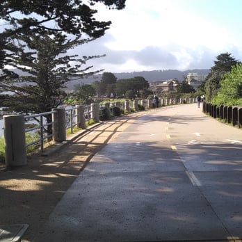


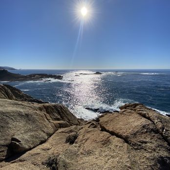

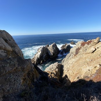

I only walked a short distance along the Monterey Bay Coastal Trail, but what I experienced I enjoyed. Just a few minutes walk away from the Monterey Bay Aquarium, I found seals lounging on a beach that was separated from the trail by a wire fence. Further along there was a park bench that I made use of as I snacked on leftovers. As I relaxed and enjoyed the view and cool air, a number of people passed by, on foot, on bicycle, or at a jog. A peaceful, yet not entirely lonesome, spot. read more


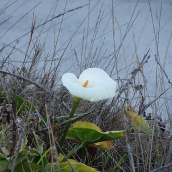


3 years ago


6 years ago
Easy breezy 18 mile ride on the beautiful Monterey Bay Coastal Trail with incredible views. No crazy up hills, just all flat ground. The awesome part is bikers get our own lane!! The pedestrians have their own walking path on the right side (kinda dusty & sandy) but y'all this makes a huge difference when riding. I can easily cruise this trail enjoying the scenery without having to ring my bell! read more


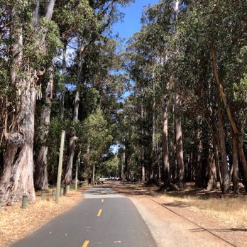


Enjoy oceanfront bliss along this 18-mile expansive recreational trail. This is one my favorite relaxation spots to take in some beautiful scenery and the perfect antidote for life's stresses. This landmark trail stretches from Pacific Grove all the way to Castroville and boasts stunning views from every direction. There are plenty of trailside cafes, restaurants, sports rentals, shops, grassy parks and benches to enjoy. Some of the attractions along the trail include Fisherman's Wharf, Monterey Bay Aquarium, Cannery Row, American Tin Cannery Outlets, Asilomar State Beach, San Carlos Beach, Monterey Beach, Fort Ord State Beach, Lover's Point and the Pacific Grove Municipal Golf. Visitors can pick from a variety of wonderful outdoor activities, including whale watching tours, kayak and surrey (4-wheeled canopy bikes) rentals, wine tasting, surfing, scuba diving, sailing, in-line skating, dinner cruises and so much more. I really enjoy coming down to this ocean-fringed trail. It's a great place to soak in so much natural beauty while you torch some calories. read more

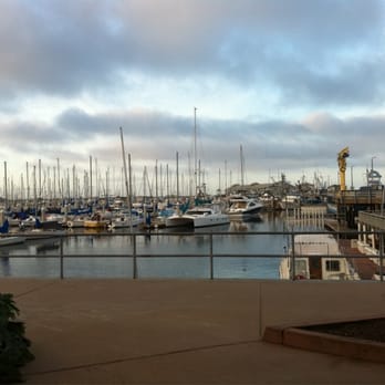

Monterey, Marina, an Seaside equals heaven! There's something about these California Coastal cities that puts me at ease. When I'm on vacation, it's also about the 3 R's...Rest, Relaxation, and Run. The Monterey Bay Coastal Trail is 2nd to none when it comes to a nice run with beautiful views. The Monterey Bay Coastal Trail has a 5 Star Average and I can see why. We started our morning run at Monterey, specifically by Monterey's Fish House. From there, we ran 5 miles north into Seaside and back totaling 10 miles. The trail has a lot to offer from the fresh ocean breeze, the beautiful beaches, the dunes, and a safe trail absence of cars. You get uphills, you get downhills, and of course my favorite, flat land. But what I love most about this trail besides everything I just mentioned, is that it's for everyone at any fitness level. Great for a bike ride, walk, run, jog, intervals, and sight see. Great views from almost everywhere on this trail. PS: Can't forget the wildlife here. We spotted a raccoon, which I don't ever see in Las Vegas. And if you're lucky, you may even get the chance to see a whale or two jumping out of the water. Naks! read more


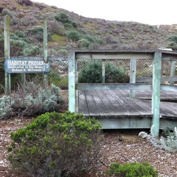





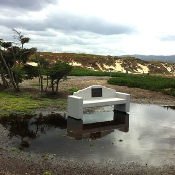


15 years ago
This is a great walking, running, biking whatever trail that mostly runs along the cliffs of the Monterey Bay. The trail runs from Marina, CA to Pacific Grove, CA cutting through the cities of Seaside and Monterey. The trail North of Seaside is remote. It is not well used but offers great views of the dunes and the bay. You wander through the old Fort Ord and can see where the old ranges are, the ammo storage areas (which you can walk in) and overall see how mother nature is reclaiming what man built. Towards and through Monterey, it gets busier but is oh so beautiful. You wander along the ocean, by the harbor, watch the harbor seals and the boats bobbing around in the water. You come by the wharf and then above Cannery Row. After leaving the aquarium you can follow the trail to Pacific Grove. Where you will be overlooking the bay all the way to Lovers Point. The trail stops here, but you can keep going to Pebble Beach via dirt trails and walking along the side of the roadway. From Wharf 2, the commercial wharf, to Lovers Point is about 2.6 miles one way. There are places to stop and eat, rent bikes etc. The only drawback is in some areas you are crossing several streets so if you are with little kids just make them aware of the traffic. You tourists don't always pay attention when you are driving. During the day this trail is completely safe. At night you need to be aware of your surroundings but I feel it is still safe as-long-as you are in the populated area between fisherman's wharf and the aquarium. You have to do this when you come to Monterey for your visit. read more


11 years ago
This bike ride blows away anything down in SoCal, by a long shot. The views are simply stunning, from end to end. My ride began in Marina, CA at Reservation Road. Once you cross the fence just under Highway 1....the fun begins. Heading south through rolling sand dunes, I saw very little to no mid-morning foot or bike traffic, until I reached the Seaside/Monterey boundary, at Dennis the Menace Park. Lots of shade and room to stop and take-in the fresh coastal breeze. The trail continues just behind crowded Fisherman's Wharf and Cannery Row. The wide, double-lanes makes it easy to pass and avoid the obvious foot tourists. The trail technically "ends" in Pacific Grove, at Lover's Point - but I continued on the road, via Ocean View Blvd, to Asilomar(Sunset Drive). At the end of Sunset Drive - 17 Mile Drive is a scenic toll road(bikes are FREE), snaking through Pebble Beach....and is a must-do ride. Here you have lush, Pebble Beach Golf Course and zillion dollar homes to one side....and the crashing Pacific, on the other side. SoCal can't hold a candle to this kind of scenery, ever. As much as I wanted to push-through nonstop to Carmel - I simply had to stop and revel in the beauty of what I was immersed in. I dropped down into Carmel for a fast, 50mph descent and had lunch there. Total round-trip distance from Marina to Carmel(Ocean Avenue), was 54 splendid, breathtaking miles. This "Bucket List" ride will forever live on in your cycling dreams.... read more
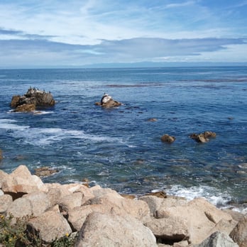

Beautiful trail along side the shoreline of Pacific Grove. Trail head is at south side of Monterey Bay Aquarium (David St.). Paved wide side walk , no elevation gains/losses . Suitable for any fitness levels. Stroller/wheelchair , dog friendly trail (except some parts). You can easily spot some sea lions laying on the sandy beach, seagulls flying above your head. You can hear the sound of the waves crushing against the rocks the entire trail. Easy walk , absolutely gorgeous shoreline trail. Kids/family friendly. But lots of bikes so don't get run over ! When I was here a couple of months ago , the wild flowers were in full bloom . Colorful flowers all around the trail but not today. Still beautiful anyways. You can park your car on the streets. Some area requires changes for the meter. read more
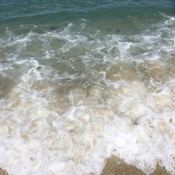


A beautiful and well kept trail with so many options. You can do the entire thing on a bike or walk as many miles as you want. Great for jogging and for taking the kids out on their bikes. Now that I'm spending less time in the area I really miss this amenity. I use to love setting out for a four mile walk to the bank or a 3 mile jog to get my hair cut. It's like hopping on the highway to just about anywhere in town and getting great exercise and a killer view along with it. As annoying as the people who literally walk down the middle of the two lanes are, there are plenty of people who know and respect the rules of the path. An abundance of friendly smiles. Lots of cute doggies too. read more


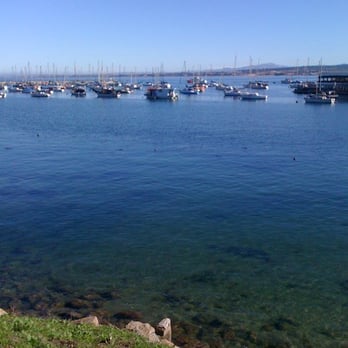


15 years ago

6 years ago
6 years ago
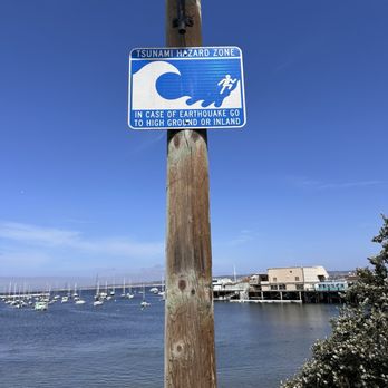
Useless sign. I use to walk the trail with my granddaughter but now stick to the sidewalks. The majority of bicyclists have no regard for anyone on the trail. Go whizzing by without warning. I fear getting run into and a relaxing walk cannot be had. Constantly on guard making certain my toddler doesn't step onto the paved area and get run down. It's frightening when you turn to take a look at something and out of nowhere ...WHOOSH There are no consequences for people not following the rules ? read more


Woke up and decided to ride the Monterey Bay Trail on a rented bike off the Wharf and ended up having so much fun I rode north up to Marina, then back into Monterey for lunch, then headed south and rode the 17-Mile Drive. Beautiful coastline, and the trail itself is a two-lane paved pedestrian path parallel to the coast line and Hwy 1. Most sections are safely away from traffic; great for children to try out their bike legs, especially between the Aquarium and Lover's Point. It's no coincidence I saw a lot of families with small children in that section. Some of the path rides into Fort Ord if you head north, while the route south of Monterey wraps around Asilomar and on to Carmel. There is a public bathroom just north of the Wharf that's big enough to roll your bike in (if you fear theft, like me, but I'm from Tucson, where everyone's property is open season). Bring a water bottle or two and some snacks in your jacket and you will be ready to roll. Oh, and a camera, but do you really want to stop the wheels from rolling long enough to take a few pics? Nah, you will be having too much fun to stop. The sun was shining, the air was crisp and cool and I was tuckered out by the end of the day, but what memories! read more


Page 1 of 3
More info about Monterey Bay Coastal Trail
Ask the Community - Monterey Bay Coastal Trail
Is this good place to ride bicycles?
Very much so! As long as you keep aware of your surroundings, you should love the ride and get an amazing view out of it!
Review Highlights - Monterey Bay Coastal Trail
You might also consider

















Why does Yelp recommend reviews?
7 reviews that are not currently recommended
The reviews below are not factored into the business's overall star rating.
13 years ago

12 years ago
3 years ago

8 years ago

17 years ago

9 years ago
14 years ago
Monterey Bay Coastal Trail - hiking - Updated September 2026
Best of Monterey
People found Monterey Bay Coastal Trail by searching for…
Sea Glass Beach in Monterey, CA
Dog Friendly Beaches in Monterey, CA
Dog Friendly Hiking Trails in Monterey, CA
Places to Take Pictures in Monterey, CA
Off Road Trails in Monterey, CA
Walking Trails in Monterey, CA
Running Trails in Monterey, CA
Hiking With Kids in Monterey, CA
Running Routes in Monterey, CA
Dune Buggy Rentals in Monterey, CA
Trending Searches in Monterey, CA
Apple Orchards near Monterey Bay Coastal Trail
Apple Picking near Monterey Bay Coastal Trail
Archery near Monterey Bay Coastal Trail
Barbershop near Monterey Bay Coastal Trail
Blow Dry Bar near Monterey Bay Coastal Trail
Cliff Jumping near Monterey Bay Coastal Trail
Consignment Shops near Monterey Bay Coastal Trail
Corn Maze near Monterey Bay Coastal Trail
Dog Friendly Things To Do near Monterey Bay Coastal Trail
Dog Swimming near Monterey Bay Coastal Trail
Eyelash Extensions near Monterey Bay Coastal Trail
Formal Wear near Monterey Bay Coastal Trail
Hiking Trails near Monterey Bay Coastal Trail
Kids Birthday Party near Monterey Bay Coastal Trail
Makeup Artists near Monterey Bay Coastal Trail
Mens Suits near Monterey Bay Coastal Trail
Off Road Trails near Monterey Bay Coastal Trail
Parks near Monterey Bay Coastal Trail
Photo Spots near Monterey Bay Coastal Trail
Picnic Areas near Monterey Bay Coastal Trail
Places To Take Pictures near Monterey Bay Coastal Trail
Private Schools near Monterey Bay Coastal Trail
Public Shower near Monterey Bay Coastal Trail
Pumpkin Patches near Monterey Bay Coastal Trail
Rock Quarry near Monterey Bay Coastal Trail
Scenic Night View near Monterey Bay Coastal Trail
Scenic Overlook near Monterey Bay Coastal Trail
Browse Articles
Browse Nearby
BEST of Monterey, California Coffee near Monterey Bay Coastal Trail
BEST of Monterey, California Restaurants near Monterey Bay Coastal Trail
BEST of Monterey, California Things to Do near Monterey Bay Coastal Trail
BEST of Monterey, California Breakfast near Monterey Bay Coastal Trail
BEST of Monterey, California Walking Trails near Monterey Bay Coastal Trail
BEST of Monterey, California Parks near Monterey Bay Coastal Trail
BEST of Monterey, California Caves near Monterey Bay Coastal Trail
BEST of Monterey, California Campgrounds near Monterey Bay Coastal Trail
BEST of Monterey, California Sightseeing near Monterey Bay Coastal Trail
Browse Brands
Related Searches in Monterey, CA
Affordable Kayak Rental Services in Monterey, California
Best Dog Hiking Trails Around Monterey, California
Best Fishing Locations and Guides in Monterey, California
Best Places for Horseback Riding in Monterey, California
Best Sightseeing Experiences Available in Monterey, California
Check Out Off Road Trails in Monterey, California
Discover Dog Friendly Trails to Explore in Monterey, California
Discover Easy Hiking Trails Near Monterey, California
Discover Kid Friendly Hiking Trails in Monterey, California
Discover Popular Bike Trails in Monterey, California
Discover Scenic Bike Paths in Monterey, California
Discover a Hiking Trail in Monterey, California
Discover the Best Night Hike Trails in Monterey, California
Dog-Friendly Hikes With Dogs in Monterey, California
Enjoy Camping Adventures Around Monterey, California
Enjoy Kayaking Adventures in Monterey, California
Enjoy Off Leash Dog Hikes in Monterey, California
Enjoy Scenic Places to Walk in Monterey, California
Enjoy Tent Camping Spots Around Monterey, California
Enjoy a Beautiful Waterfall Hike in Monterey, California
Enjoy the Best Walking Path in Monterey, California
Enjoy the Best Walking Trails in Monterey, California
Explore Beautiful Parks and Green Spaces in Monterey, California
Explore Easy Hikes Perfect for All in Monterey, California
Explore Fun Activities to Do in Monterey, California
Explore Popular Campgrounds Near Monterey, California
Explore Popular State Park Destinations in Monterey, California
Explore Top Dog Parks in Monterey, California Near You
Explore the Best Beach Spots in Monterey, California
Family Friendly Hiking With Kids in Monterey, California
Find Cozy Camping Cabins in Monterey, California
Find Popular Ziplining Spots Around Monterey, California
Find Top Dog Friendly Parks to Visit in Monterey, California
Find the Best Parks for Picnics in Monterey, California
Find the Best Playgrounds to Visit in Monterey, California
Hiking Trails With Waterfalls in Monterey, California
Off Leash Dog Hiking Trails in Monterey, California
Picnic Areas With BBQ Pits Available in Monterey, California
Popular Outdoor Activities to Try in Monterey, California
Popular Picnic Spots to Visit in Monterey, California
Popular Waterfall Hiking Trails in Monterey, California
Safe and Fun Parks for Kids in Monterey, California
Top Hiking Trails to Explore in Monterey, California
Top Playgrounds for Kids to Enjoy in Monterey, California
Top Running Trails to Explore in Monterey, California
Top Swimming Lakes to Enjoy in Monterey, California
Top Things to Do With Kids in Monterey, California
Top-Rated Camping Sites in Monterey, California


