Teague Hill Open Space Preserve Photos


You might also consider


More like Teague Hill Open Space Preserve
Recommended Reviews - Teague Hill Open Space Preserve
Start your review...



2 years ago
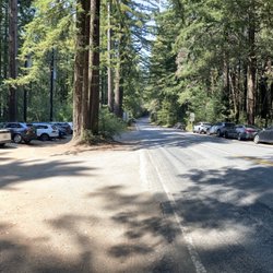
I absolutely love this 5.2 mile loop trail with a moderate steady climb about 1500 feet in elevation near Woodside, California. It's not an easy hike but quite challenging hike. There's no nap so download the all trails map so you won't get lost. It took me about three hours to complete. This trail is great for nature exploring m, hiking, horseback riding, and running. I feel like it's a cardiac training route when I hiked in the rain. I did not see anyone , except for the two men who helped to cut falling trees and maintain the trails in the area. No dogs allowed on this trail. You'll need to leave pups at home. I like it. There were plenty parking by the trailhead. read more


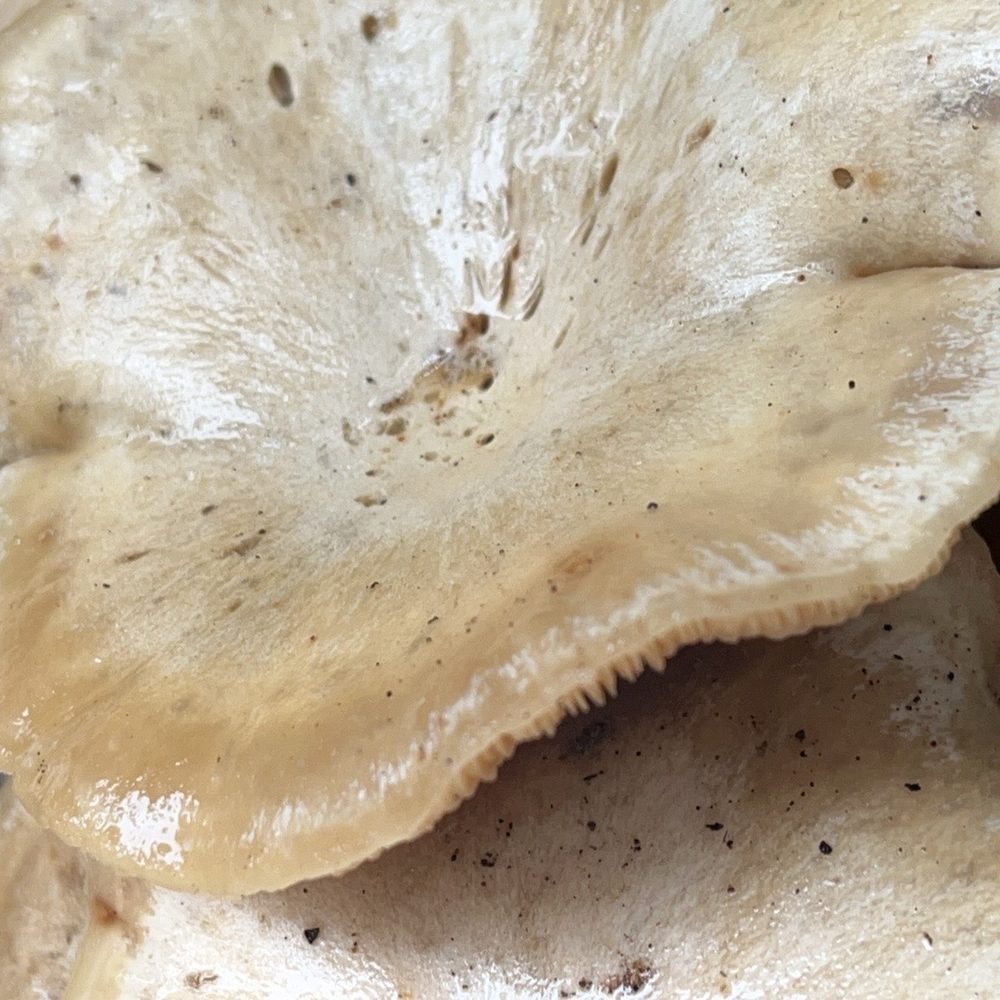

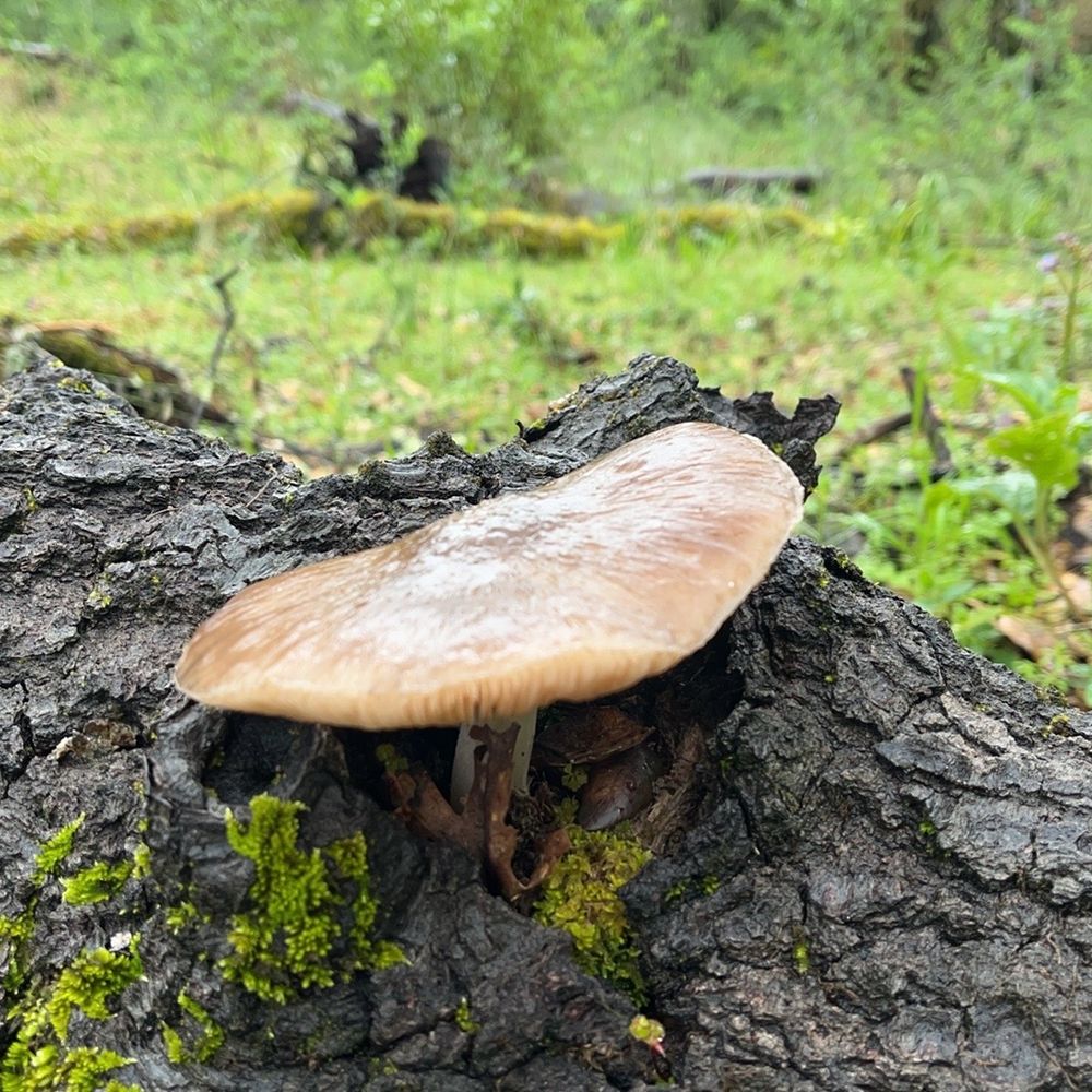


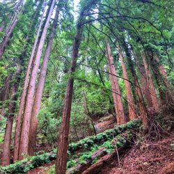
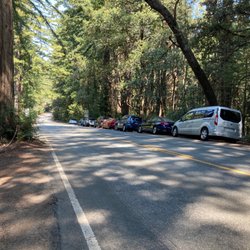
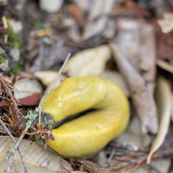
Went on a guided hike w/ Craig - he's a Sierra Club hike leader. He had a 5-7 mi hike here suppose to be slow & easy, usually he does fast hikes & 10 miles. We meet at the elementary school in Woodside and took 2 cars to the park. It's not an official parking spot, it's on a residential street: Pinto Way. No bathrooms so you just pee by trees. Park is very primitive. No trail sign, names, map. No dogs & no bikes. Only hikers & equestrians. Lots of climbing on some steep trails. We did about 1,000-2,000 ft elev gain. Lunch was on the Bay Area Ridge Trail - not much views. Lots of Redwood Trees, saw 3 banana slugs, & lots of fungus. Recommended if you've been everywhere in the Bay Area and just want to get away. read more

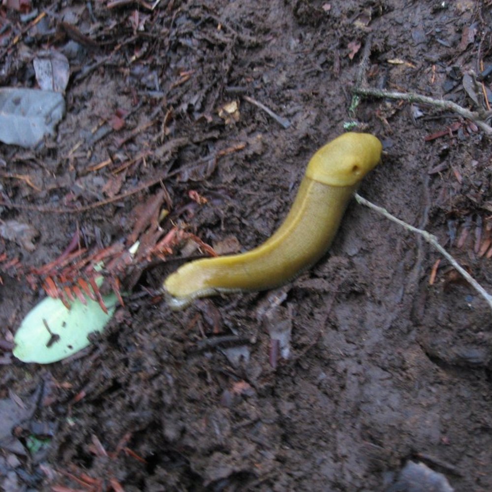


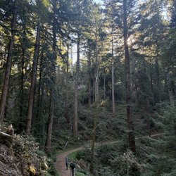
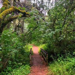
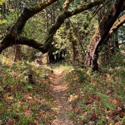
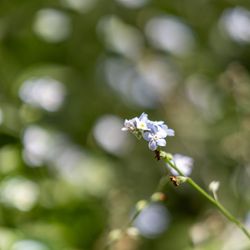
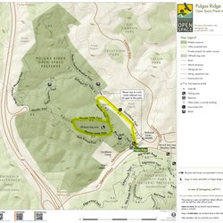
Teague Hill would seem to be one of the least-traveled of the open space preserves on the peninsula. i finally made plans to hike here, but it wasn't exactly easy. I had to research the trailhead locations, since the "official" online maps show no trails whatsoever, and other versions show only a single loop circling the interior of the park, with no outlet to civilization at all. "Wait - that can't be right." Turns out it isn't. As for the park itself, terrain and flora are average, eastern-slope park for the Santa Cruz range, with stands of oak, or redwood, and/or bay, intermingled with the odd grove of manzanita or madrone. Trails vary from wide lanes to single track. Unfortunately, the trees are densely packed and views are scarce and limited. I had hopes at almost every hilltop turn, but found no open vistas. That's not to say the hike wasn't fun. I never tire of exploring new places. And I got to do some geocaching too. It's a lonely park. Few of my friends have heard of it, even though it's sandwiched between two popular parks, Huddart and Wunderlich. And though I hiked here for four hours, and enjoyed a leisurely lunch on the trail, I only saw two people the entire time. It was an elderly couple who were doing a much longer hike than I (Props!). Maybe the reason is the trail markings; In that, there are NONE at all. It was a good thing I had a GPS unit with maps, or I would have taken a wrong turn several times. There are so many side trails and T-junctions it can be confusing. It's not that you won't end up on some paved road somewhere. It just may not be the road you planned on. Here are the facts ma'am: -- Lower trailheads at the ends of Summit Springs road or Pinto Way - just 5 minutes uphill from the historic Woodside Store. Parking is limited. -- Upper trailheads via the Bay Area Ridge trail off Kings Mtn, just below Skyline. Pulloff spots for at least 6 cars or more. The park can also be accessed from Skyline Dr. near the top of El Corte De Madera OSP, but requires traveling several miles on the Bay Area Ridge Trail before reaching the park -- As mentioned above, bring some navigation aids if you plan to venture deep into the park ===== May 2015 Update: after several more ventures into the park, I'm downgrading to two stars. The lack of trail signs and number of home-made trails really makes hiking here difficult. Plus, the place sometimes gives me the creeps. Hiking Spot Checklist: -- Parking: Limited road-side parking only -- Bathrooms: No -- Potable water: No -- Maps provided: No -- Highlights: One of the least-traveled parks in the system, so it's very quiet My Peninsula Hike Collection is here: (https://www.yelp.com/collection/qBI6U6Lz9LJQjnGjFW6ubg) read more




5 years ago

13 years ago
More info about Teague Hill Open Space Preserve
Pinto Way
Woodside, CA 94062
Directions
(650) 691-1200
Call Now
Visit Website
http://www.openspace.org/preserves/pr_teague_hill.asp
Hours
Indoor Amenities
Outdoor Amenities
You might also consider


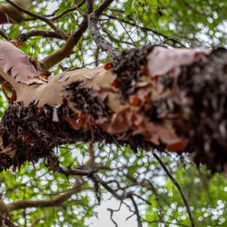
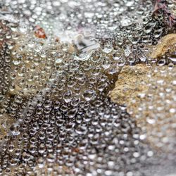

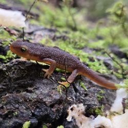


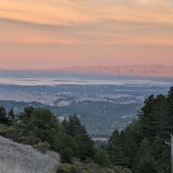











Teague Hill Open Space Preserve - hiking - Updated August 2026
Best of Woodside
People found Teague Hill Open Space Preserve by searching for…
Trending Searches in Woodside, CA
Antiques near Teague Hill Open Space Preserve
Barbershop For Men near Teague Hill Open Space Preserve
Bird Sanctuary near Teague Hill Open Space Preserve
Cliff Jumping near Teague Hill Open Space Preserve
Consignment Shops near Teague Hill Open Space Preserve
Cruising Spots near Teague Hill Open Space Preserve
Dog Friendly Things To Do near Teague Hill Open Space Preserve
Ear Piercing near Teague Hill Open Space Preserve
Eyebrow Threading near Teague Hill Open Space Preserve
Kids Haircut near Teague Hill Open Space Preserve
Lakes near Teague Hill Open Space Preserve
Meteor Shower near Teague Hill Open Space Preserve
Mini Golf near Teague Hill Open Space Preserve
Parks near Teague Hill Open Space Preserve
Pedicure near Teague Hill Open Space Preserve
Permanent Makeup near Teague Hill Open Space Preserve
Picnic Areas near Teague Hill Open Space Preserve
Preschools near Teague Hill Open Space Preserve
Public Golf Courses near Teague Hill Open Space Preserve
Public Pools near Teague Hill Open Space Preserve
Rock Quarry near Teague Hill Open Space Preserve
Scenic Night View near Teague Hill Open Space Preserve
Shopping Malls near Teague Hill Open Space Preserve
Stargazing near Teague Hill Open Space Preserve
Sunrise View near Teague Hill Open Space Preserve
Swimming Holes near Teague Hill Open Space Preserve
Trading Card Shops near Teague Hill Open Space Preserve
Used Furniture Stores near Teague Hill Open Space Preserve
Browse Articles
Browse Nearby
BEST of Woodside, California Walking Trails near Teague Hill Open Space Preserve
BEST of Woodside, California Restaurants near Teague Hill Open Space Preserve
BEST of Woodside, California Coffee near Teague Hill Open Space Preserve
BEST of Woodside, California Things to Do near Teague Hill Open Space Preserve
BEST of Woodside, California Parks near Teague Hill Open Space Preserve
BEST of Woodside, California Breakfast near Teague Hill Open Space Preserve
BEST of Woodside, California Campgrounds near Teague Hill Open Space Preserve
BEST of Woodside, California Sightseeing near Teague Hill Open Space Preserve
BEST of Woodside, California Day Trips near Teague Hill Open Space Preserve
Browse Brands
Related Searches in Woodside, CA
Best Dog Hiking Trails Around Woodside, California
Best Fishing Locations and Guides in Woodside, California
Best Nature Trails for Hiking in Woodside, California
Best Places for Horseback Riding in Woodside, California
Best Sightseeing Experiences Available in Woodside, California
Check Out Off Road Trails in Woodside, California
Discover Dog Friendly Trails to Explore in Woodside, California
Discover Easy Hiking Trails Near Woodside, California
Discover Kid Friendly Hiking Trails in Woodside, California
Discover Popular Bike Trails in Woodside, California
Discover Walking Parks in Woodside, California Near You
Discover a Hiking Trail in Woodside, California
Discover the Best Night Hike Trails in Woodside, California
Dog-Friendly Hikes With Dogs in Woodside, California
Enjoy Camping Adventures Around Woodside, California
Enjoy Kayaking Adventures in Woodside, California
Enjoy Off Leash Dog Hikes in Woodside, California
Enjoy Scenic Places to Walk in Woodside, California
Enjoy a Beautiful Waterfall Hike in Woodside, California
Enjoy the Best Walking Path in Woodside, California
Enjoy the Best Walking Trails in Woodside, California
Explore Beautiful Parks and Green Spaces in Woodside, California
Explore Easy Hikes Perfect for All in Woodside, California
Explore Fun Activities to Do in Woodside, California
Explore Popular Campgrounds Near Woodside, California
Explore Popular Dog Walking Trails in Woodside, California
Explore Top Dog Parks in Woodside, California Near You
Explore the Best Beach Spots in Woodside, California
Family Friendly Hiking With Kids in Woodside, California
Find Beautiful Views in Woodside, California
Find Cozy Camping Cabins in Woodside, California
Find Top Dog Friendly Parks to Visit in Woodside, California
Find Top-Rated Waterfalls in Woodside, California Now
Find the Best Parks for Picnics in Woodside, California
Hiking Trails With Waterfalls in Woodside, California
Off Leash Dog Hiking Trails in Woodside, California
Popular Outdoor Activities to Try in Woodside, California
Popular Picnic Spots to Visit in Woodside, California
Popular Waterfall Hiking Trails in Woodside, California
Safe River Swimming Areas in Woodside, California
Safe and Fun Parks for Kids in Woodside, California
Top Hiking Trails to Explore in Woodside, California
Top Paddleboarding Activities in Woodside, California
Top Playgrounds for Kids to Enjoy in Woodside, California
Top Running Trails to Explore in Woodside, California
Top Swimming Lakes to Enjoy in Woodside, California
Top Swimming Spots and Pools in Woodside, California
Top-Rated Camping Sites in Woodside, California


