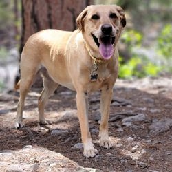
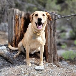
The Slots - Lower Kyle Canyon Photos


You might also consider


More like The Slots - Lower Kyle Canyon
Recommended Reviews - The Slots - Lower Kyle Canyon
Start your review...



8 months ago
It's fun and laidback. The slot canyon section is short but it was very peaceful out there. Only saw to other parties (total of three people). read more


Been wanting to hike these slot canyons for a while and these were so easy to find. Well, that is if you don't follow your GPS. Your GPS and AllTrails directions are definitely off and led my friend and I to the wrong trail. Thankfully, my friend Mel C. was able to redirect me and we found the trail right off of Kyle Canyon Road. The trail itself is only a half mile to the slot canyons and it is super easy, no hiking experience needed. Once you arrive, there is one big slot canyon along with a few little ones. Definitely a fun trail for the little ones to explore and hopefully tire out. The slot canyon is beautiful and there is so much to see. We hiked beyond the canyon for another couple miles and you can make this a short or long hike. Beyond the slot canyons are some unusual rock shapes to climb around in. These slots have been here a very long time and I was elated that the area was so clean. No litter, and no dog poop! Hurray! This is what I like to see when I hike! For a quick lil hike and some cool photo opportunities,check this place out but remember Pack in, pack out and Leave No Trace! Enjoy! This was Hike #51 of my #52HikeWeekChallenge2020 read more


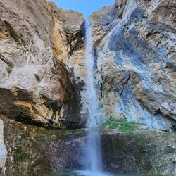
The Slots (Lower Kyle Canyon) Stats: Distance: As long as you want it to be Distance to the Slots: About 1/2 Mile Elevation Gain: 679 (according to AllTrails) Route Type: Out & Back The toughest part of this hike is finding the trailhead because there is no actual trailhead. Parking is located off Kyle Canyon Road and Harris Spring Road. Park at the dirt bank and head west on the wash or follow the trail along the wash. The slots are about a 1/2 mile from the parking area. If you do not reach it within 15 minutes, then you are either lost or going the wrong way. The slots aren't grand, but still impressive. The slots are cool, and I mean that literally so wear a jacket. There's a few slots and the rest of the hike is up to you. Most of the trail is on the actual wash and easy to follow. It's pretty much flat the first few miles. We hiked about 6 miles and never encountered any areas that I would consider even moderate. Keep in mind that the trail is on dirt, rock, and gravel. Watch your step because it is easy to trip or slip. Enjoy the slots! Peace!! read more

More info about The Slots - Lower Kyle Canyon
Harris Springs Rd & Kyle Canyon Rd
NV, NV 89166
Directions
Hours
Outdoor Amenities