Valley of Fire State Park Photos


You might also consider


More like Valley of Fire State Park
Recommended Reviews - Valley of Fire State Park
Start your review...


Reviews With Photos


Easy day trip from Las Vegas, but bring a lot of water and snacks. We loved seeing the variety of sights at this state park: old movie set, multiple colors of rocks, petrified wood, lizards, etc. was a very hot day, had to keep the hikes shorter.


Amazing views, awesome rock formations and easy trails here! Well maintained & friendly staff. I like to come here once a year and try new trails.


We have been here a few times and always have had great experiences. This particular time there were alot of heat warnings and a lot of trials closed due to heat which is a good thing. We brought our of state visitors who enjoyed it. The better time to visit is after Labor Day and before Memorial Day is you want to experience the entire park and its trails. If you do go during the summer make sure to bring lots of water and definitely follow the heat warnings and trail closures for your safety.
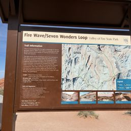

VOF state park is DEF one of the cooler state parks in not just Nevada, but the US! The landscapes are beautiful, and very unique. I've not been to the wave but I have been to other slot canyons/antelope canyon, and the ring of fire trail leading to the scenic view of the fire wave is reminiscent of it!! There was also a pink sand slot canyon along that trail if you do the full loop (called the Pastel (pink) canyon trail). It's super cute and very unique, I did not see any other landforms quite like it on my road trip through Utah! Another short trail I enjoyed was the rainbow view trail - it's not long at all and is just a generally pretty, pink sand trail to a nice viewpoint. And the iconic valley of fire road view actually is just past this trailhead on your way back toward the main road (driving away from ring of fire trail). DO BE AWARE it gets hotter THAN out here. They have signs up at several trailheads that essentially say "drink water, you could die." I went on a day in April and it wasn't too bad, but it was still hot enough I was sweating a bit by the time I returned to my car, and it got VERY hot inside the car as well and took a hot minute to cool down. Overall though: this is one state park that is so unique it is absolutely worth traveling off the beaten path and the $10 entry fee to visit. The visitor center is also super nice and has lots of fun learning exhibits!


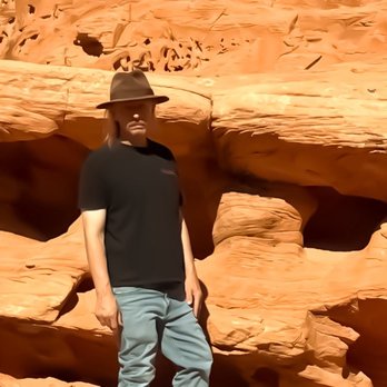
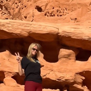
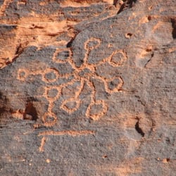
The great outdoors and it's all on fire! On Easter Sunday, mind you this is Nevadas first state park, which opened in 1934. The park has varied textures and patterns spanning over 40,000 miles. It's a great place to come and explore. It's about a two hour drive from the Las Vegas area. Now the park costs to get in per car, it's ten per car and twenty for camping. They have all the hook ups needed on site. The park is open sun up to sundown. Now as you come into the park you will need to ask for a map, it's highly recommended. On the right is Elephant Rock. The different trails are marked along the way for you . Of all the locations the Elephant Rock was my favorite. Each site has individual parking and this area can also accommodate so many cars. As you make your trip through the park make sure and see the visitors center for the historic references and refreshments. Parking here is so-so! We are going into the wild make sure and be careful and prepared. You will need water and some snacks . Sunscreen for those hot Nevada days . Now this is a historic opportunity for an individual to explore. The visitor center highlights how in the 1970s archeological sites and petroglyphs were preserved for all to see at Atlatl Rock. You will climb stairs to see a these. Just being in this valley is utter madness. All the rocks appear to be on fire . It's truly "middle earth." You will have opportunities to just find your way around especially if you are camping. When just starting to wander remember where you parked and how to get back . As you make your way to protect the natural environment and surroundings they have made several choices and trails for us along the way. It's very sandy as you walk . Beware. Wear good hiking shoes. You will definitely get a great work out. Let's for example try the Mouse Tank Trail. This one has petroglyphs through a canyon and is roughly less than a mile. It's truly beautiful and something to see. Remember this is nature and let's leave it there. The petroglyphs are the words of the past. The ghosts that still tell a story. Come and see what nature has to show you .


The Valley of Fire has been a pit stop on my Vegas tour for family and friends the last several years. It's become my locals getaway from the city. Scenic drives, plenty of hikes and rocks to climb around, and beautiful, uninterrupted views of the night sky. Perfect for star gazing, you would preferably make your trip in the late/fall to enjoy the park to it's fullest. The heat is no joke in the vast desert, with signs like "Heat Advisory: You May Die" posted. Renovations underway in Summer 2026, with new parking lots being erected. They've recently built a new visitors center with an interactive exhibit, clean restrooms, and a well-designed, modern frame.


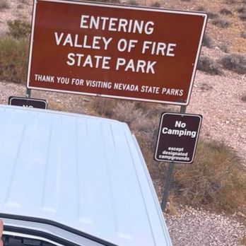
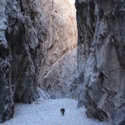
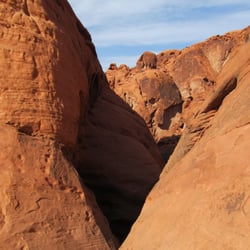
Next stop on our accidental "entering our camping era" tour: Valley of Fire. At this point, all we really wanted to do was hike The Wave...even though it was still pushing into the 90s and Valley of Fire was very clear about one thing right as you enter the park: a sign that basically said "heat wave...you can die." Extremely reassuring welcome message I'm not gonna lie, I started questioning if this whole camping era is actually for me. Like I'm not trying to meet my end in the desert for a pretty rock formation. But we pushed through anyway and made it to The Wave--and honestly? It was worth the mild existential crisis. The colors are unreal: red and white striped rock formations everywhere that look almost painted on. Absolutely stunning. After that, we apparently decided we were still feeling brave (or unhinged) and did one more hike through the slot canyons. And those were SO cool--narrow, dramatic, and honestly way more fun than we expected given the heat situation. Overall: breathtaking views, questionable life choices, and a growing suspicion that "camping era" might actually just mean "we are constantly overheating in beautiful places"


Awesome state park. This state park is not a far drive from vegas. There are plenty of stops to see throughout the park. You can walk, hike, or see sights from the car. There is something for everyone. They constructed a new visitor center that opened at the end of 2025. There are lots of cool exhibits for everyone to enjoy. There's paved roads throughout the park. The park has some beautiful sights and makes you appreciate the desert. Definitely a great stop if you want to get away from the hustle and bustle of vegas and enjoy nature. They're open sunrise to sunset. There's also camp sights.


Milky-red sand stone carved by winds and water. Bright sun and warm earth. Bring a hat. Beautiful drive from Las Vegas.


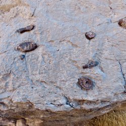
Pro-tip: Nevada has the most majestic, national park-worthy state parks in the entire country. I visited Valley of Fire this past weekend specifically to explore the new visitor center, which is beautifully designed with great exhibits. However, it was far from the highlight of my trip. I hiked the petrified log loop for the first time and loved learning about the drastic ecosystem changes in this area, evolving from lush wetlands to an arid desert over millions of years. This information was in perfect harmony with the exhibits at Ice Age Fossils State Park. Then, I hiked my favorite hiking trail at Valley of Fire and realized the section that I usually skip actually has some of the most breathtaking scenery in the entire park. Valley of Fire is an excellent day trip option for Las Vegas locals, and it's a perfect addition to Vegas/Southwest US itineraries for tourists.


Beautiful scenery and plenty of hike options! Recommend going there to watch the sunset. The visitor center was also very cool and they had a small museum inside teaching the history of the state park. Recommend going in the winter as we heard the summer time gets really hot (too hot for these hikes)

A must visit state park! This is one of my favorite state parks in Nevada! There's camping here but it fills up fast! The best time to camp would be in early winter or spring. There's so many rams here, you'll likely spot one on any hike. Theres so many cool trails and the views are stunning! We've been here a few times and it's our favorite spot to go every time we are in Nevada! Highly recommend!


Valley of Fire is my most favorite place to hike and explore near Las Vegas. The otherworldly landscape, vibrant pink & orange hues, and high probability of seeing the majestic big horned sheep make this a special place to be. Last week we had the opportunity to check out the brand new Visitor's Center before embarking on a hike. The architects behind the new center did a phenomenal job of ensuring the center blended beautifully into its surroundings. I greatly appreciated that the parking was covered by solar panels, a great way to use renewable energy while keeping visitors cars cool. The inside was as gorgeous as the outside, with a highly interactive and informative exhibit hall. There is a gift shop, but it was closed for inventory during our visit. In addition to the educational exhibits inside, they also have an amphitheater, an informational kiosk, water fill stations, and 2 sets of restrooms (4 gender neutral restrooms near the outdoor amphitheater and large men's & women's restrooms near the picnic tables to the left of the main entrance). Even if you're a frequent visitor to Valley of Fire, the new visitor's center is a must stop when driving into the park!


Valley of Fire State Park is one of the most breathtaking places I've ever visited. The bright red rock formations almost look like you're on another planet, and every turn offers another incredible view. The scenic drive alone is worth the trip, but there are also plenty of great spots to stop, explore, and take photos. I especially enjoyed seeing the unique rock formations and the ancient petroglyphs. Everything was well maintained, and it was easy to spend several hours just taking in the scenery. If you're visiting the Las Vegas area, this is an absolute must see and well worth the drive. I would definitely come back again. read more



2 months ago
Valley of Fire State Park was one of the highlights of our road trip. We drove in from Henderson and made it a stop along the way. There was a bit of a line of cars waiting to enter, but once inside, everything felt surprisingly uncrowded. One of the coolest surprises was seeing several bighorn sheep walking along the road. They were much bigger than I expected and fun to watch from a safe distance. The landscape here feels almost otherworldly. The vibrant red rock formations, unique shapes, and dramatic scenery make it feel like you're on another planet. We spent our time driving through the park, stopping at various viewpoints to explore and take photos. The visitor center is excellent, with a great gift shop, and very clean restrooms. It was quite warm during our visit, so be sure to bring plenty of water, especially if you plan to do any hiking. If you're anywhere near Las Vegas or Henderson, I highly recommend making time for Valley of Fire. The scenery is absolutely stunning and well worth the visit. read more

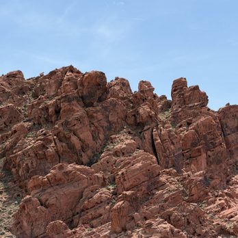


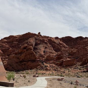


Our SECOND visit. We plan to return again because one cannot get enough of this. Ever. Anyone who leaves the area without being stunned by it's beauty and grandeur, is soulless. There were hikers from all over the world here today. read more
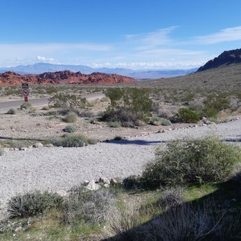


Easy day trip from Las Vegas, but bring a lot of water and snacks. We loved seeing the variety of sights at this state park: old movie set, multiple colors of rocks, petrified wood, lizards, etc. was a very hot day, had to keep the hikes shorter. read more


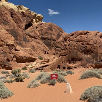
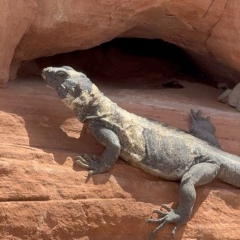
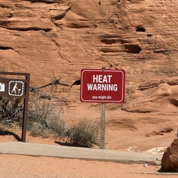


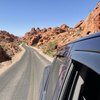

We have been here a few times and always have had great experiences. This particular time there were alot of heat warnings and a lot of trials closed due to heat which is a good thing. We brought our of state visitors who enjoyed it. The better time to visit is after Labor Day and before Memorial Day is you want to experience the entire park and its trails. If you do go during the summer make sure to bring lots of water and definitely follow the heat warnings and trail closures for your safety. read more


4 months ago
VOF state park is DEF one of the cooler state parks in not just Nevada, but the US! The landscapes are beautiful, and very unique. I've not been to the wave but I have been to other slot canyons/antelope canyon, and the ring of fire trail leading to the scenic view of the fire wave is reminiscent of it!! There was also a pink sand slot canyon along that trail if you do the full loop (called the Pastel (pink) canyon trail). It's super cute and very unique, I did not see any other landforms quite like it on my road trip through Utah! Another short trail I enjoyed was the rainbow view trail - it's not long at all and is just a generally pretty, pink sand trail to a nice viewpoint. And the iconic valley of fire road view actually is just past this trailhead on your way back toward the main road (driving away from ring of fire trail). DO BE AWARE it gets hotter THAN out here. They have signs up at several trailheads that essentially say "drink water, you could die." I went on a day in April and it wasn't too bad, but it was still hot enough I was sweating a bit by the time I returned to my car, and it got VERY hot inside the car as well and took a hot minute to cool down. Overall though: this is one state park that is so unique it is absolutely worth traveling off the beaten path and the $10 entry fee to visit. The visitor center is also super nice and has lots of fun learning exhibits! read more
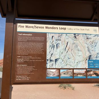

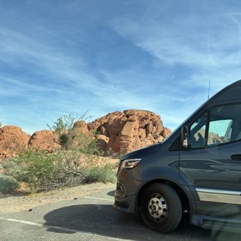


The great outdoors and it's all on fire! On Easter Sunday, mind you this is Nevadas first state park, which opened in 1934. The park has varied textures and patterns spanning over 40,000 miles. It's a great place to come and explore. It's about a two hour drive from the Las Vegas area. Now the park costs to get in per car, it's ten per car and twenty for camping. They have all the hook ups needed on site. The park is open sun up to sundown. Now as you come into the park you will need to ask for a map, it's highly recommended. On the right is Elephant Rock. The different trails are marked along the way for you . Of all the locations the Elephant Rock was my favorite. Each site has individual parking and this area can also accommodate so many cars. As you make your trip through the park make sure and see the visitors center for the historic references and refreshments. Parking here is so-so! We are going into the wild make sure and be careful and prepared. You will need water and some snacks . Sunscreen for those hot Nevada days . Now this is a historic opportunity for an individual to explore. The visitor center highlights how in the 1970s archeological sites and petroglyphs were preserved for all to see at Atlatl Rock. You will climb stairs to see a these. Just being in this valley is utter madness. All the rocks appear to be on fire . It's truly "middle earth." You will have opportunities to just find your way around especially if you are camping. When just starting to wander remember where you parked and how to get back . As you make your way to protect the natural environment and surroundings they have made several choices and trails for us along the way. It's very sandy as you walk . Beware. Wear good hiking shoes. You will definitely get a great work out. Let's for example try the Mouse Tank Trail. This one has petroglyphs through a canyon and is roughly less than a mile. It's truly beautiful and something to see. Remember this is nature and let's leave it there. The petroglyphs are the words of the past. The ghosts that still tell a story. Come and see what nature has to show you . read more




2 months ago
The Valley of Fire has been a pit stop on my Vegas tour for family and friends the last several years. It's become my locals getaway from the city. Scenic drives, plenty of hikes and rocks to climb around, and beautiful, uninterrupted views of the night sky. Perfect for star gazing, you would preferably make your trip in the late/fall to enjoy the park to it's fullest. The heat is no joke in the vast desert, with signs like "Heat Advisory: You May Die" posted. Renovations underway in Summer 2026, with new parking lots being erected. They've recently built a new visitors center with an interactive exhibit, clean restrooms, and a well-designed, modern frame. read more


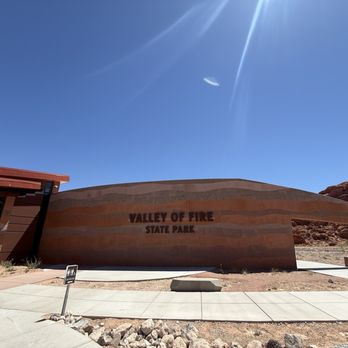





Next stop on our accidental "entering our camping era" tour: Valley of Fire. At this point, all we really wanted to do was hike The Wave...even though it was still pushing into the 90s and Valley of Fire was very clear about one thing right as you enter the park: a sign that basically said "heat wave...you can die." Extremely reassuring welcome message I'm not gonna lie, I started questioning if this whole camping era is actually for me. Like I'm not trying to meet my end in the desert for a pretty rock formation. But we pushed through anyway and made it to The Wave--and honestly? It was worth the mild existential crisis. The colors are unreal: red and white striped rock formations everywhere that look almost painted on. Absolutely stunning. After that, we apparently decided we were still feeling brave (or unhinged) and did one more hike through the slot canyons. And those were SO cool--narrow, dramatic, and honestly way more fun than we expected given the heat situation. Overall: breathtaking views, questionable life choices, and a growing suspicion that "camping era" might actually just mean "we are constantly overheating in beautiful places" read more


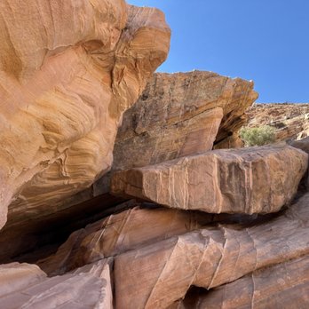
Awesome state park. This state park is not a far drive from vegas. There are plenty of stops to see throughout the park. You can walk, hike, or see sights from the car. There is something for everyone. They constructed a new visitor center that opened at the end of 2025. There are lots of cool exhibits for everyone to enjoy. There's paved roads throughout the park. The park has some beautiful sights and makes you appreciate the desert. Definitely a great stop if you want to get away from the hustle and bustle of vegas and enjoy nature. They're open sunrise to sunset. There's also camp sights. read more




5 months ago
Pro-tip: Nevada has the most majestic, national park-worthy state parks in the entire country. I visited Valley of Fire this past weekend specifically to explore the new visitor center, which is beautifully designed with great exhibits. However, it was far from the highlight of my trip. I hiked the petrified log loop for the first time and loved learning about the drastic ecosystem changes in this area, evolving from lush wetlands to an arid desert over millions of years. This information was in perfect harmony with the exhibits at Ice Age Fossils State Park. Then, I hiked my favorite hiking trail at Valley of Fire and realized the section that I usually skip actually has some of the most breathtaking scenery in the entire park. Valley of Fire is an excellent day trip option for Las Vegas locals, and it's a perfect addition to Vegas/Southwest US itineraries for tourists. read more






7 months ago
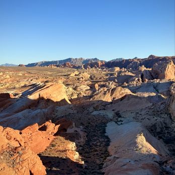
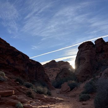
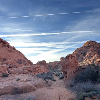
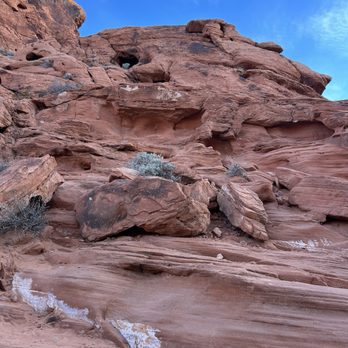
Beautiful scenery and plenty of hike options! Recommend going there to watch the sunset. The visitor center was also very cool and they had a small museum inside teaching the history of the state park. Recommend going in the winter as we heard the summer time gets really hot (too hot for these hikes) read more



2 months ago
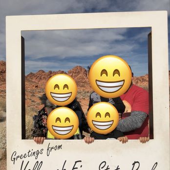
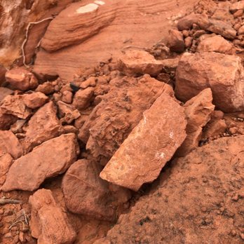
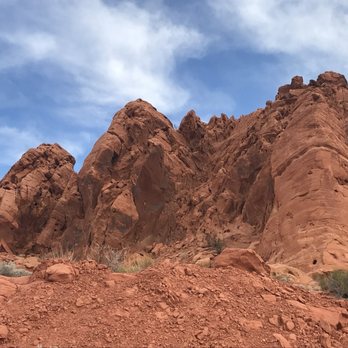
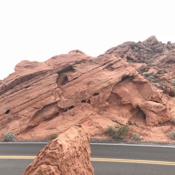
A must visit state park! This is one of my favorite state parks in Nevada! There's camping here but it fills up fast! The best time to camp would be in early winter or spring. There's so many rams here, you'll likely spot one on any hike. Theres so many cool trails and the views are stunning! We've been here a few times and it's our favorite spot to go every time we are in Nevada! Highly recommend! read more





6 months ago
Valley of Fire is my most favorite place to hike and explore near Las Vegas. The otherworldly landscape, vibrant pink & orange hues, and high probability of seeing the majestic big horned sheep make this a special place to be. Last week we had the opportunity to check out the brand new Visitor's Center before embarking on a hike. The architects behind the new center did a phenomenal job of ensuring the center blended beautifully into its surroundings. I greatly appreciated that the parking was covered by solar panels, a great way to use renewable energy while keeping visitors cars cool. The inside was as gorgeous as the outside, with a highly interactive and informative exhibit hall. There is a gift shop, but it was closed for inventory during our visit. In addition to the educational exhibits inside, they also have an amphitheater, an informational kiosk, water fill stations, and 2 sets of restrooms (4 gender neutral restrooms near the outdoor amphitheater and large men's & women's restrooms near the picnic tables to the left of the main entrance). Even if you're a frequent visitor to Valley of Fire, the new visitor's center is a must stop when driving into the park! read more


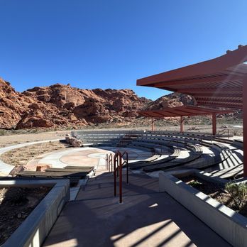


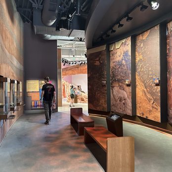


Fabulous new multi media Visitor Center on the Las Vegas side. We saw hundreds of petroglyphs on an easy trail (Mouse's Tank), then drove to a few other scenic spots with our older visitor. Perfect visit. Come early, bring water, hat, sunglasses and sunscreen. Respect the park, we saw many Big Horn Sheep and lizards today. Because Hubs is a Veteran, we got a free year state park pass. read more


Stunning! Perfect for a winter hike. The terrain literally looks like a fire pit when you have a bird's eye view of the Valley. So many areas to explore. On this day, we did The Slots and top of the World Arch. Come early for parking at the trailhead. Please come and create your own adventure. read more

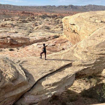


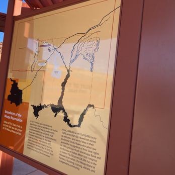

Hubby & I were in Las Vegas & thought why not check this place out. Glad we did. $15 for us non Nevada residents but well worth it. Lots of photo opportunities everywhere you look. Paved road with good signage to formations (this could be better). Beautiful visitors center. Saw lots of Longhorn sheep, lizards & desert vegetation. Take snacks, water & sunscreen. Wear closed toe shoes. read more


9 months ago
What a gorgeous and phenomenal experience. There are lots of trails to venture, so you can do one with as little effort and time as you'd like.. take your pick! Bring water, for sure! And sunblock. Wear a hat. I would also personally recommend leggings as a girl, I was on the fence about what was best but I'm glad I wore them due to the pricker bush type plants and risk for sunburn as well. Also, I would recommend wearing shoes you don't mind getting dirty because the red dirt does kind of leave a residue. Pay attention to the rocks on your way out driving, we saw goats / rams whatever they were, it was so cool to see them out in the wild like that! read more
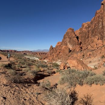


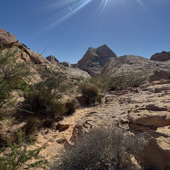

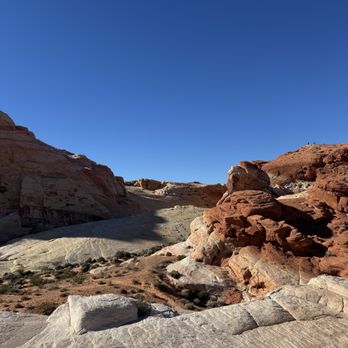


Amazing state park only about an hour away from the Strip! What an incredible way to enjoy and appreciate the beautiful nature. It was a perfect day to visit in December when the temperature was in 50's/low 60's. We got the map at the entrance so you could drive around to visit certain spots. Always nice to stop at the visitor center to pick up some souvenirs or learn more about the history. Definitely worth the trip! read more


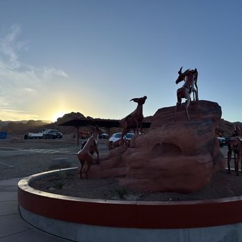
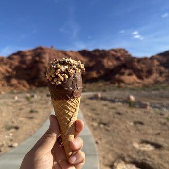


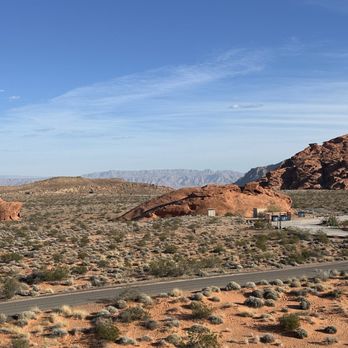

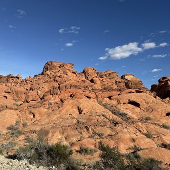

2 months ago

What a great park! So many scenic views with a lot of hiking trails. There are restrooms everywhere, as well as picnic tables to have a snack. Definitely pack a lunch. Entry fee is $15. It is the largest State Park in Nevada. read more

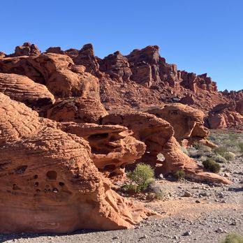


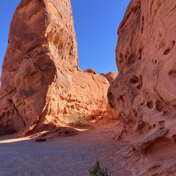


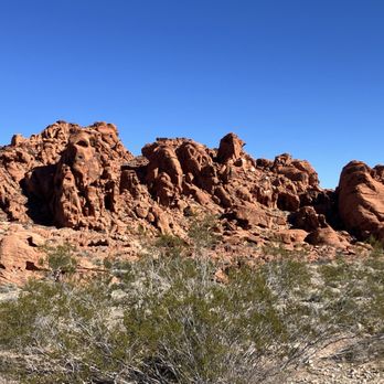

Great hiking trails $25 to enter Lake Mead unless you have a state park pass $15 to enter The Valley of Fire no park passes accepted cash is accepted for entry. Went through CCC Holmes built in 1936 and passed through the Bee Hive formations. Natural mountain stone. Huge park no way to see everything the park has to offer in one day. Great experience read more


2 months ago
Beautiful place to spend the day for the whole family. Picnic area available. Close distance from Las Vegas read more



8 months ago
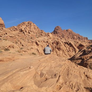
I loved this state park. Lots of driving involved to go through the different areas, but the red rock formations and petroglyphs seal this land in a time before our own. It made me feel like I traveled to Mars for a bit. Definitely bundle up during the winter time... morning temps were around 40 degrees, and I had plenty of layers to be comfortable in the hike. read more


We camped at Atlatl Rock campsite for 4 nights starting 5/12. Big Horn sheep are one of many attractions and we saw them daily. We also examined petroglyphs at dozens of locations around the park that are easy to get to. Then there are some that require hiking. A full range of hiking is available. Off roading at the Logandale Trails System located about 20 is minutes from the park and this trails put you right back in the park, but not on pavement. Check out the onX Offroad app for detailed maps, ratings, pictures and more! The park is simply amazing. It is similar to Moab in geographical terms. No way to cover it all in a simple review. We would recommend this park to everyone! read more


6 months ago
Valley of Fire is about 1hour outside of Las Vegas strip area. It's not a national park, so if you have a national park pass, it DOESNT work. We ended up hiking the wave and 7 wonders. This is definitely too strenuous for small children and anyone with disabilities but you can go a little ways before it becomes difficult. There was water in the slot canyon so we had to go high ground which ended up having us having to slid down about 10-15 at the end and jump 5 feet down once there was no more water (to get back on the trail) it was fun, exciting, my husband thought I was going to die when I made the decision to jump but I was fine. I would recommend checking the weather before coming. They close the park for extreme heat and there can be flash flooding if it rains. read more

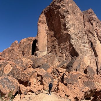


This was one of the best parts of our Vegas stay. We took a sprinter van tour to the park, which included 6 scenic stops of the best photo taking spots in the park, as well as a 1.2 mile hike that featured a small slot canyon. We also saw petroglyphs, dinosaur tracks imprinted in the rock, lizards, and Bighorn sheep. Our tour included a packed lunch, unlimited bottles of water, and a stop at a reservation gas stop/convenience store (appreciated because we could pick up a bottle of wine for the hotel room). Our tour guide, John, was both entertaining and informative, offering a 5 star experience. The sun was intense here; be sure to wear a hat with a wide rim. Other essentials: sunscreen, hiking shoes, water to drink, (and possibly hiking poles). read more


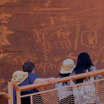
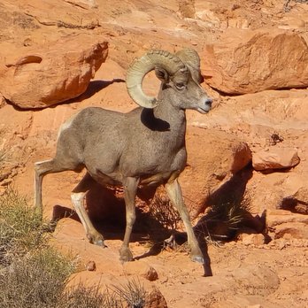


What an amazing Park so close to Las Vegas. We enjoyed the small trails, awesome rock formations and the new visitors center. All that an be conveyed is do not miss this adventure if possible. Our GDP took us through the back way via Overton and Loganville communities. Great ride and scenic. Entry fee is $10 for locals and $15 for non. Excellent experience in my humble opinion. read more
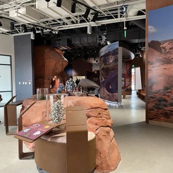


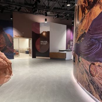

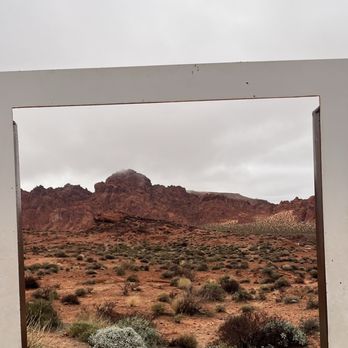
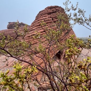
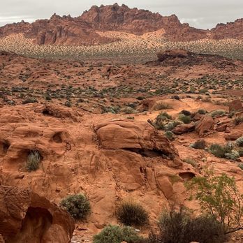
You must see this state park when visiting LV. Amazing rock formations. Petroglyphs created by native tribesmen thousands of years ago etched into the rocks. Various trails to hike. It was cloudy and rainy when I visited the Park on a group tour from LV on 1/1/26. The rain only made the red colored rocks look more vibrant. The vegetation was greener than usual due to the rain in the past month. I loved these wonders of nature. Don't miss this amazing place on your trip to Nevada! read more




1 year ago
Tip: come early in the morning to avoid the crowds and beat the heat. Entrance/day use fee is $15 for non-Nevada plates, but they do offer a military/veterans discount. The park is open from sunrise to sunset, with various hiking trails and things to see; from impressive rock formations such as the 7 sisters and elephant rock, petrified wood, and petroglyphs! Also, drive carefully, as you might see big horn sheep crossing the street or even blocking the road! read more
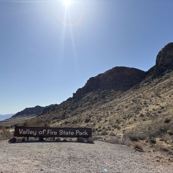

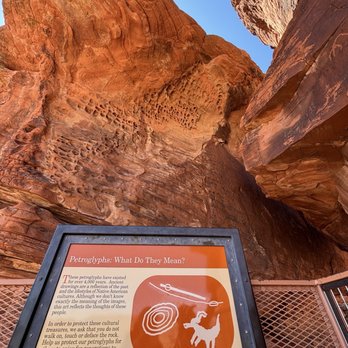


We took a quick day trip from the Vegas Strip, it was less than an hour. So worth it. The red hills are spectacular. The stridations and magnificent colors are just overwhelming. I cant recommend it enough. My husband, a geographer, said it was at one point under water, as a sea floor. The red is from iron in the rock that oxidized. Other trace minerals cause beautiful colors like purple and yellow. read more

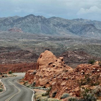

After Hoover Dam, we drove to Valley of Fire to spend the day. We visited a number of the sights within the park - elephant rock, Mouse Tank, Silica Dome, etc. Everything was beautiful. We also stopped in to the old visitor center and learned quite a bit. Very glad we visited. read more


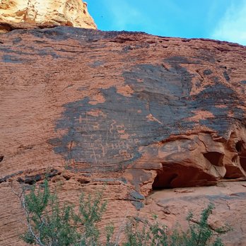

Valley of Fire is a fun park to visit just outside of Vegas- definitely worth a stop if you like hiking/adventure. Highly recommend the Fire Wave/Seven Wonders Trail- so many cool rock formations! There's a small slot canyon too! Just a heads up you have to be out of the park by sunset and it is enforced read more


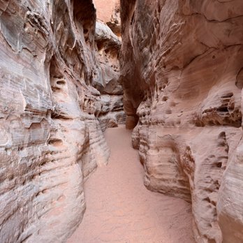


Colorful rocks, intriguing canyons, arches, petroglyphs, wildlife, so many things to explore here. There are many trails. Convenient place near the city. Beautiful park. Only downside is so many people and need to rush out at the closure time. read more
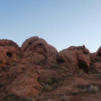


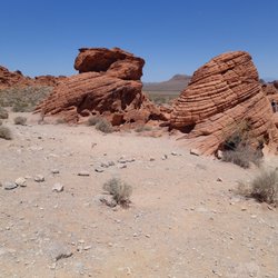
Its hard to imagine any two places so very different in appearance and in "feels". On our recent visit to Las Vegas (for a concert that was great) we chose to leave the casino vibes behind and enjoy the natural beauty of the desert. We drove about an hour north east on i15 to Valley of Fire State Park. As you approach the park you begin to see the rocks rising from the desert and actually see some of the very colorful rock that gives the park its name. Your drive through the park and stop at several view points, of which some are also trail heads. It was 100* F the week we visited so we did very little hiking in the dessert heat, but still greatly enjoyed our visit to the Park. The Visitor Center is off the main road a few miles into the park. There are some interesting exhibits, flush toilets, cold water, a small gift store that also had refrigerated food, drinks and ice cream (and also public Wifi if you need to check reservations, etc). I definitely recommend getting out of your vehicle even for a few minutes to really get a sense of the unique beauty at each of the stops. Highlights: Beehives - interesting rock formations you can walk up to, around, and even on top of. Fire Canyon Road - Contrasting layers of rock spread out in front of you. White Dome Road - the drive out to this point in the park provided some of the more dramatic views of the landscape (highly recommended). The Cabins" - made from local rock, these rustic cabin (remains) were built by the WPA back in the 1930s. A cool thing to see! The "Seven Sisters" (see photo) - a collection of large rock outcrops with shady spots between them for a picnic or a respite from the sun. read more


8 months ago
Valley of Fire State Park is absolutely breathtaking and feels like stepping into another world. The red sandstone formations against the bright blue sky are unreal and every turn looks like a postcard. No matter where you stop, the views are dramatic, peaceful, and inspiring. The hiking trails are well marked and incredibly scenic, with natural arches, textured rock patterns, and wide open desert views. It is the kind of place where you can take your time, explore, and still feel calm and grounded. Perfect for photography, quiet moments, or just soaking in nature. What I loved most is how immersive it feels. Standing among the towering rocks makes you feel small in the best way, and the light changes throughout the day make the landscape look completely different from one moment to the next. This park is a must visit if you are in Nevada or Las Vegas. Wear comfortable shoes, bring water, and take your time. Valley of Fire is not just a park, it is an experience you will remember long after you leave. read more

Page 1 of 20
More info about Valley of Fire State Park
29450 Valley Of Fire Rd
Overton, NV 89040
Directions
(702) 397-2088
Call Now
Visit Website
https://parks.nv.gov/parks/valley-of-fire
Hours
Indoor Amenities
Outdoor Amenities
Other Amenities
Valley of Fire State Park Reviews in Other Languages
Ask the Community - Valley of Fire State Park
What trails at VoF are safe and toddler friendly? We will be bringing our 3 year old with us. Thanks in advance!
Super kid friendly and flat is the Mouses Tank Trail/Petroglyph Canyon Trail (found on White Domes Road shortly after the visitor center). It's like walking on red sand so best time to go is when it is not windy
Is the park open on holidays/Christmas day?
It's open all year around but on Christmas I think the visitor center closes.
Driving from Las Vegas, is it pretty flat drive or lots of mountains/drops/valley? Thank you very much.
It's a pretty flat drive. When you turn off the highway, it is pretty desolate for about 18 miles, no businesses or gas stations. It gets a little curvy, no shoulders on sides of the road. Then you approach a rangers booth and pay 10.00 to enter the…
I broke my foot and was wondering if there are any hikes you could take a motorized scooter on? Relatively flat, doesn't have to be paved but I won't be able to navigate much more than pebbles on the ground.
I don't think so, even the really flat and easy Mouse's Tank hike has a soft sandy floor the whole way. You could easily visit the visitors center, though. And the drive around the park is gorgeous.
Any recommendations for a rad campsite? Looking for views and seclusion!
Atlatl Rock campsites 20-22. They are walk in camp sites and secluded. Because you're not right in other peoples campsites the view is natural.
Everyone I ask says Valley of the Fire, is a great place to go off roading near Las Vegas. Can anyone tell me exactly where the location is or how to get there?
http://parks.nv.gov/parks/valley-of-fire The actual address is:…
Review Highlights - Valley of Fire State Park
You might also consider

















Why does Yelp recommend reviews?
24 reviews that are not currently recommended
The reviews below are not factored into the business's overall star rating.

9 years ago

2 years ago

13 years ago


16 years ago


1 year ago

2 years ago

14 years ago

5 years ago


10 years ago

5 years ago

17 years ago

13 years ago

7 years ago
2 years ago

3 years ago
12 years ago
Valley of Fire State Park - parks - Updated August 2026
Best of Overton
People found Valley of Fire State Park by searching for…
Browse Nearby
BEST of Overton, Nevada Restaurants near Valley of Fire State Park
BEST of Overton, Nevada Fishing near Valley of Fire State Park
BEST of Overton, Nevada Pizza near Valley of Fire State Park
BEST of Overton, Nevada Breakfast near Valley of Fire State Park
BEST of Overton, Nevada Campgrounds near Valley of Fire State Park
BEST of Overton, Nevada Shopping near Valley of Fire State Park


