Whiting Ranch Wilderness Park
Whiting Ranch Wilderness Park Photos


You might also consider


More like Whiting Ranch Wilderness Park
Recommended Reviews - Whiting Ranch Wilderness Park
Start your review...


Reviews With Photos


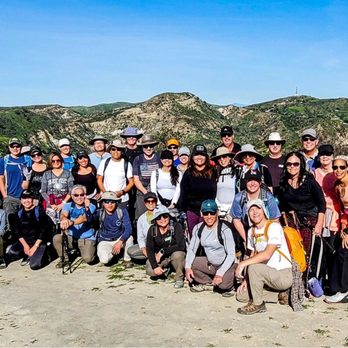
Whitings has become one of my favorite spots to do a group hike. I've met amazing new friends climbing Dreaded Hill and Billy Goat. Those two sections are such fun challenges. There are areas which is wooded and there are areas with direct exposure. I've seen deers on several occasions. This is mountain lion territory so I like doing this hike with other people. I am also very directionally challenged! Parking is easy at the trailhead which is a corporate park. There is some retail including Starbucks and Wahoos that have restrooms. Please visit and create your own experience.


Whiting Ranch is popular hiking and mountain biking trail. I set off from a little strip mall with a Starbucks and Wahoo's, but I was quickly fully in nature. Trails are well-marked, and the trails all connect in such a way that it's hard to truly get lost. You may add a mile or five to your hike, but you'll eventually find your way back to your car!


my apple map originally routed me to a neighborhood, so i would definitely recommend routing to the parking lot that's near ralphs. the parking lot is $3 but you could just park at the ralphs. the hiking trail was perfect. a little dusty, a little stream running through the trail, lots of big rocks and green foliage, uphill and downhill, and shady spots. my friend and i didn't bring water but we were able to walk for about 2 hours before heading back. i'd hike this again with water to hike for longer, but overall this was a very good hike
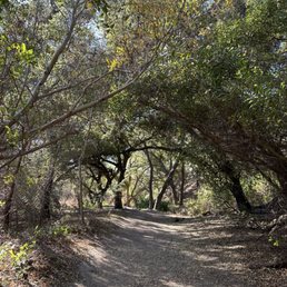

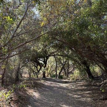
First time here. The first 1.5 miles is pretty easy and flat. Pretty shady at the beginning of the trail. It's not paved, but suitable for family and bikes. Once you get to the split, you can choose either a moderate or a difficult trail to continue on. Or turn around and head back. It is a really nice morning hike when the temp is in the 60's. I suspect it would get uncomfortably hot during summer. The trail is popular but not crowded. And it's clean. Unfortunately dogs are not allowed. (Even though we saw at least 2 nonservice dogs on the hike.)


Cool hiking trail here in Foothill Ranch. Parking is very limited at the park, about 20 spot, maybe a bit more, but not much more. $3 for the day. We parked at the shopping center right in front of the park (Crossing Portola Parkway), by the McDonald's and a Planet Fitness. Plenty of parking there, it's also free. 2 minutes walk from the trial entrance. Very well maintained trail. Easy for the first mile and a half or so (1.45 miles approx.) on Borrego trail. After that it splits and you can choose between a moderate trail (Can't remember the name, but is to the right on Mustard Road) and the hard trial (to the left on Mustard Rd). About 2 and a half miles all the way to the Vista Lookout (1500' Elevation). All uphill once you make a left on Mustard trail and keep going. Definitely a cool spot. No pets. Bikes are ok, they can only go one way, so I don't know where they would end up at!


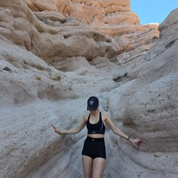
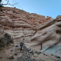
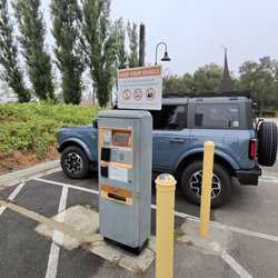
This is a hidden gem, although isn't all that hidden as it gets really busy. I ran into lots of families, bikers and trail runners but still a good trail for the lovely views and ease. I did the Red Rock Canyon trail. Even at a slow pace, you can do this in about 2 hours. No huge elevation gain but some bigger ups and downs as you approach the last half mile. Everything is well marked. It's very cool how you start out in a forest and end up in another world at the end with the red rock formations. There's clear signage that stops you from going further but there are a few steps within the red rock that make for good photo opps. Tips: + Come early for parking. The lot isn't big but nice. Costs $3 and the machine accepts both card and bills. + Some shade but could get sunny so bring a hat and sunscreen. + If you're not much of a hiker, bringing hiking poles can be nice for balance to navigate the rocky spots about a half mile away from the end. Plus the trail was kinda washed out with streams and puddles from the rain.


A really nice hiking trail to go with friends/ family. You can go easy or difficult trails. The red rock canyon trail is easy and beautiful scenery. Roundtrip to red rock canyon is 1.5-2 hour depends on pace. Lots of trees on the trail and shading but still bring a hat and sunscreen. Remember don't go right after raining as trail might be muddy or have water puddles. You can park right outside the trail but have to pay $2. Sometimes people parked in front of Ralph's but it is not encourage and might be towed.


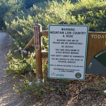
Great place for a hike to see the Red Rock Canyon in Foothill Ranch. It's an easy hike which will take about 1.5 to 2 hours round trip. The walk to get there is beautiful. You'll come across little creeks, streams, blooming flowers, unique looking trees, plants, bunnies, lizards, all type of birds, and more. Most rewarding part are the Red Rocks which you don't see everyday in California. It's worth the hike. There was a sign posted stating beware of mountain lions before trails started. Just thankful I didn't see any, since this was my first solo hike. Parking is $3 with spaces between 25 to 30 spots. I recommend visiting in the morning as it gets busy later in the afternoon. Glad I was able to visit when it wasn't crowded. When you have a chance, check it out.


Whiting Ranch/Dreaded Hill It was such a beautiful day for a hike on Saturday! It was so green. It made all the butt burning hikes worth it lol Whiting Ranch Staging Area 27901 Glenn Ranch Rd Trabuco Canyon, CA 92679 Parking: $3 Elevation: 900 ft Tip: bring hiking poles and wear hiking boots We had such a fun time with friends and new friends!


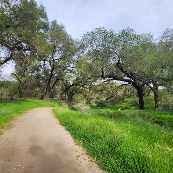
Scenic choose your own pace and style hike with some shaded hikes ranging from short to long! We took the shaded path and even managed to see a few female deer grazing along it. The only major thing we had to constantly watch and listen for were mountain bikes. Some are courteous and you can hear them coming, but some aren't so... SO sharp ears will keep you from collision cause by the time they see you coming around a bend it would be too late. A few macro shots of small areas make it seem like large crevasses/canyons and desert for ants lol.


Located in Foothill Ranch, Whiting Ranch Wilderness Park is a great place to hike and mountain bike! The main entrance for this park is located right next to a busy shopping center (where Ralph's is located) off Bake Pkwy. Parking is $3 in the designated spaces, but I see many people park in the adjacent shopping center. These trails get decent traffic, and is appropriate for all ages (saw plenty of young kids, adults, and elderly during my hike) and I would rate the difficulty as easy/moderate, depending on where you're at in the park. Scenery is beautiful along the way, but more so once you get to the top (near the water tank). Nice view of the foothills and Pacific Ocean on a clear day. If you're active and looking for a local spot to explore, I would highly recommend Whiting Ranch. Note, this is mountain lion country, so be vigilant out there!


The word "romantic" was mentioned of this trail more than a handful of times. Largely I would think because of the misty raindrops falling on our heads and non-head surfaces, but also because the trail itself seemed to have that effect. Deer were appearing out of nowhere and didn't seem bovvered by hikers. Boulders and pebbles that would still be colorful on a dry, sunny day were particularly eye-catching creating a glistening red, purple and grey backdrop in the rain. Ascending the trail with the early morning fog had the effect of being up in the clouds. With that said, the group of us are somewhat of a sarcastic bunch. Being drenched in romance with mud gumming the soles (soul?) isn't ideal, but I really liked the contrast to the summery weather we usually get. I would say come prepare if it's a cloudy day. This park is one of the more well-maintained ones out there so not a lot of ripping/tripping hazards. There was also a 5K/12K Halloween race the day we went. The amount of people this trail gets keeps the mountain lions at bay, I would hope...All in all, I recommend heading down here while the weather is as pleasant as it is.


We really enjoyed this hiking trail! It was easy enough to complete with two tween kids, no many bugs, not too rugged of terrain, some shady areas to rest, and easy to find. I would've never guessed this cute little parking lot lead to such a nice trail in such a populated area. It took several hours to complete, but it is definitely a trail that I would explore again. No dogs allowed.


17 days ago
Beautiful hiking trails with stunning views and so many different routes to explore! The scenery is gorgeous, and there's something for everyone. Definitely a great place to enjoy nature and get some exercise. Highly recommend! read more


1 month ago
Overall score for this trail system would be 4.5 stars. Great multiple trails, skill level is easy to medium to difficult. Milage is from 2miles to up to 10 miles, and even more as the trails connect another major trail system. Parking is easy, at the base, there's a pay machine..3$ i think. Grear price, as the money is used for clean up and maintenance. No pets on trails. Luckily, a ranger caught two families and were cited! Yes! And two others cited for non pay of Parking. The high point trails are steep and difficult, for walkers joggers runners family or couples and for the renegade singles, plus be carefulwith bikers... they must slow down for you ! Not the other way! So be outspoken! Plus horses are occasional seen. . Get there early, as Parking gets full. The views are splendid and serene. Bring water, it can be frustrating as not water on the trails. But there is a water full station and bathrooms before entering. Clean trails, fun trail, and a trail that can be demanding if you wish it to be . It crosses over to other side of the foothills, and can be wildly exciting. read more

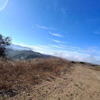

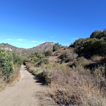


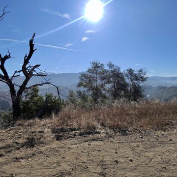
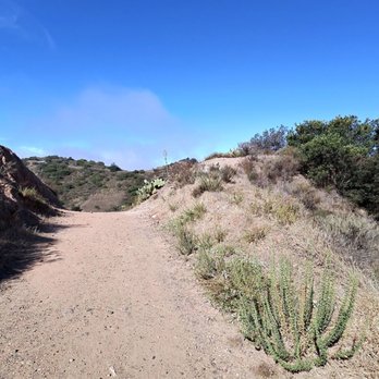


Whiting Ranch Wilderness Park is located in Lake Forest and spans 2,500 acres. There is a very small parking where it costs $3 for a day pass (they take both $1 bills and credit card). Beware of parking at the adjacent parking lots because they are pretty strict about not parking there for hikers. There are a variety of trails at differing difficulty levels and there are select trails that are multi-use where cycling is allowed. We went on the Borrego Canyon Trail and the Red Rock Canyon trail that was a total of two miles one way. There was some shade from the tall trees but some parts were in direct sunlight. There was a good amount of flat land and didn't have too much of an incline. When you get to an intersection with multiple directions just keep going straight and follow the signs for Red Rock Canyon. You will know when you're at the end when you see signs and rocks all around you. The red rocks really reminded me of the hikes that I went to in Arizona and it was cool to see that in California. Overall it took about one hour one way to get from the parking lot through Borrego Canyon Trail and to the end of Red Rock Canyon. Overall it was an easy and enjoyable hike. read more


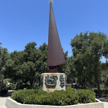


Whitings has become one of my favorite spots to do a group hike. I've met amazing new friends climbing Dreaded Hill and Billy Goat. Those two sections are such fun challenges. There are areas which is wooded and there are areas with direct exposure. I've seen deers on several occasions. This is mountain lion territory so I like doing this hike with other people. I am also very directionally challenged! Parking is easy at the trailhead which is a corporate park. There is some retail including Starbucks and Wahoos that have restrooms. Please visit and create your own experience. read more


1 year ago
Whiting Ranch is popular hiking and mountain biking trail. I set off from a little strip mall with a Starbucks and Wahoo's, but I was quickly fully in nature. Trails are well-marked, and the trails all connect in such a way that it's hard to truly get lost. You may add a mile or five to your hike, but you'll eventually find your way back to your car! read more


1 year ago
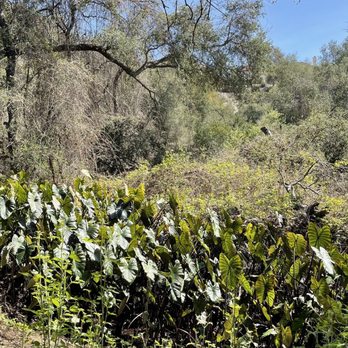
my apple map originally routed me to a neighborhood, so i would definitely recommend routing to the parking lot that's near ralphs. the parking lot is $3 but you could just park at the ralphs. the hiking trail was perfect. a little dusty, a little stream running through the trail, lots of big rocks and green foliage, uphill and downhill, and shady spots. my friend and i didn't bring water but we were able to walk for about 2 hours before heading back. i'd hike this again with water to hike for longer, but overall this was a very good hike read more



2 years ago
First time here. The first 1.5 miles is pretty easy and flat. Pretty shady at the beginning of the trail. It's not paved, but suitable for family and bikes. Once you get to the split, you can choose either a moderate or a difficult trail to continue on. Or turn around and head back. It is a really nice morning hike when the temp is in the 60's. I suspect it would get uncomfortably hot during summer. The trail is popular but not crowded. And it's clean. Unfortunately dogs are not allowed. (Even though we saw at least 2 nonservice dogs on the hike.) read more


Cool hiking trail here in Foothill Ranch. Parking is very limited at the park, about 20 spot, maybe a bit more, but not much more. $3 for the day. We parked at the shopping center right in front of the park (Crossing Portola Parkway), by the McDonald's and a Planet Fitness. Plenty of parking there, it's also free. 2 minutes walk from the trial entrance. Very well maintained trail. Easy for the first mile and a half or so (1.45 miles approx.) on Borrego trail. After that it splits and you can choose between a moderate trail (Can't remember the name, but is to the right on Mustard Road) and the hard trial (to the left on Mustard Rd). About 2 and a half miles all the way to the Vista Lookout (1500' Elevation). All uphill once you make a left on Mustard trail and keep going. Definitely a cool spot. No pets. Bikes are ok, they can only go one way, so I don't know where they would end up at! read more


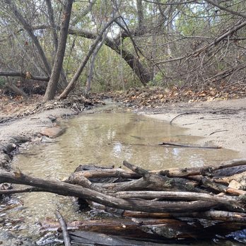


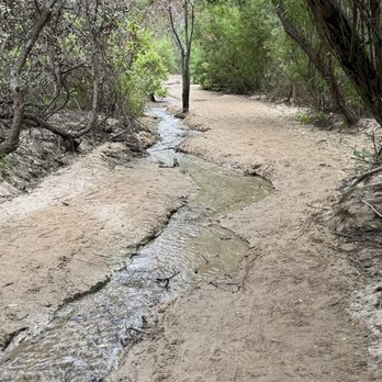
This is a hidden gem, although isn't all that hidden as it gets really busy. I ran into lots of families, bikers and trail runners but still a good trail for the lovely views and ease. I did the Red Rock Canyon trail. Even at a slow pace, you can do this in about 2 hours. No huge elevation gain but some bigger ups and downs as you approach the last half mile. Everything is well marked. It's very cool how you start out in a forest and end up in another world at the end with the red rock formations. There's clear signage that stops you from going further but there are a few steps within the red rock that make for good photo opps. Tips: + Come early for parking. The lot isn't big but nice. Costs $3 and the machine accepts both card and bills. + Some shade but could get sunny so bring a hat and sunscreen. + If you're not much of a hiker, bringing hiking poles can be nice for balance to navigate the rocky spots about a half mile away from the end. Plus the trail was kinda washed out with streams and puddles from the rain. read more


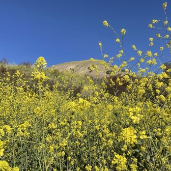
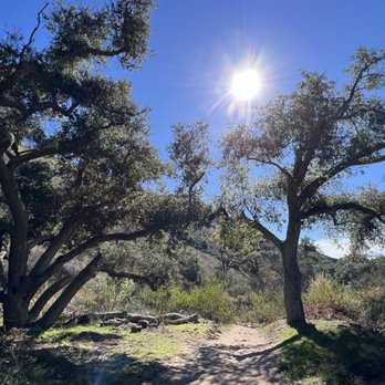
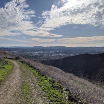
A really nice hiking trail to go with friends/ family. You can go easy or difficult trails. The red rock canyon trail is easy and beautiful scenery. Roundtrip to red rock canyon is 1.5-2 hour depends on pace. Lots of trees on the trail and shading but still bring a hat and sunscreen. Remember don't go right after raining as trail might be muddy or have water puddles. You can park right outside the trail but have to pay $2. Sometimes people parked in front of Ralph's but it is not encourage and might be towed. read more


1 year ago

Great place for a hike to see the Red Rock Canyon in Foothill Ranch. It's an easy hike which will take about 1.5 to 2 hours round trip. The walk to get there is beautiful. You'll come across little creeks, streams, blooming flowers, unique looking trees, plants, bunnies, lizards, all type of birds, and more. Most rewarding part are the Red Rocks which you don't see everyday in California. It's worth the hike. There was a sign posted stating beware of mountain lions before trails started. Just thankful I didn't see any, since this was my first solo hike. Parking is $3 with spaces between 25 to 30 spots. I recommend visiting in the morning as it gets busy later in the afternoon. Glad I was able to visit when it wasn't crowded. When you have a chance, check it out. read more




4 years ago
Whiting Ranch/Dreaded Hill It was such a beautiful day for a hike on Saturday! It was so green. It made all the butt burning hikes worth it lol Whiting Ranch Staging Area 27901 Glenn Ranch Rd Trabuco Canyon, CA 92679 Parking: $3 Elevation: 900 ft Tip: bring hiking poles and wear hiking boots We had such a fun time with friends and new friends! read more
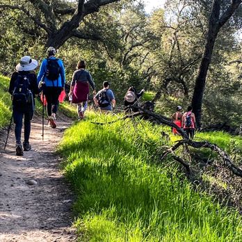
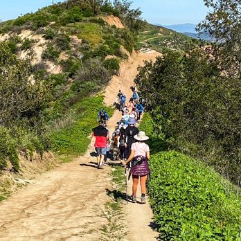
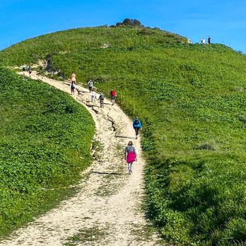

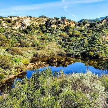

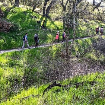

Scenic choose your own pace and style hike with some shaded hikes ranging from short to long! We took the shaded path and even managed to see a few female deer grazing along it. The only major thing we had to constantly watch and listen for were mountain bikes. Some are courteous and you can hear them coming, but some aren't so... SO sharp ears will keep you from collision cause by the time they see you coming around a bend it would be too late. A few macro shots of small areas make it seem like large crevasses/canyons and desert for ants lol. read more
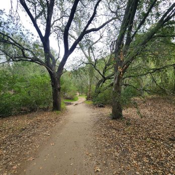


2 years ago

Located in Foothill Ranch, Whiting Ranch Wilderness Park is a great place to hike and mountain bike! The main entrance for this park is located right next to a busy shopping center (where Ralph's is located) off Bake Pkwy. Parking is $3 in the designated spaces, but I see many people park in the adjacent shopping center. These trails get decent traffic, and is appropriate for all ages (saw plenty of young kids, adults, and elderly during my hike) and I would rate the difficulty as easy/moderate, depending on where you're at in the park. Scenery is beautiful along the way, but more so once you get to the top (near the water tank). Nice view of the foothills and Pacific Ocean on a clear day. If you're active and looking for a local spot to explore, I would highly recommend Whiting Ranch. Note, this is mountain lion country, so be vigilant out there! read more

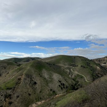

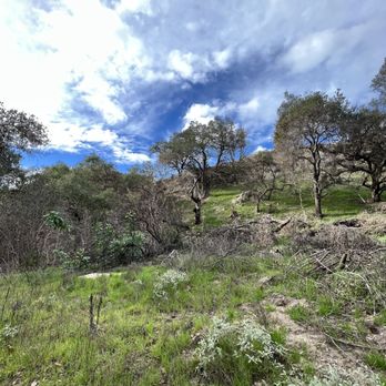
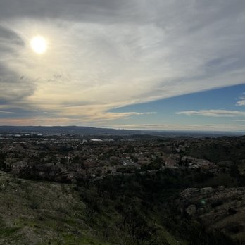


The word "romantic" was mentioned of this trail more than a handful of times. Largely I would think because of the misty raindrops falling on our heads and non-head surfaces, but also because the trail itself seemed to have that effect. Deer were appearing out of nowhere and didn't seem bovvered by hikers. Boulders and pebbles that would still be colorful on a dry, sunny day were particularly eye-catching creating a glistening red, purple and grey backdrop in the rain. Ascending the trail with the early morning fog had the effect of being up in the clouds. With that said, the group of us are somewhat of a sarcastic bunch. Being drenched in romance with mud gumming the soles (soul?) isn't ideal, but I really liked the contrast to the summery weather we usually get. I would say come prepare if it's a cloudy day. This park is one of the more well-maintained ones out there so not a lot of ripping/tripping hazards. There was also a 5K/12K Halloween race the day we went. The amount of people this trail gets keeps the mountain lions at bay, I would hope...All in all, I recommend heading down here while the weather is as pleasant as it is. read more


5 years ago
We really enjoyed this hiking trail! It was easy enough to complete with two tween kids, no many bugs, not too rugged of terrain, some shady areas to rest, and easy to find. I would've never guessed this cute little parking lot lead to such a nice trail in such a populated area. It took several hours to complete, but it is definitely a trail that I would explore again. No dogs allowed. read more


The entry point being located within a shopping mall, we were prepared to be bamboozled by Whiting Ranch's promises of Red Rock, but after a hour or so hike, you are transported to an almost Arizonian landscape. The trail itself is fairly quiet, with a few bikers speeding by. With the heat, the hike can feel rather grueling, so I would suggest packing multiple waters. It's absolutely crazy to know that landscapes like these are present in the Orange County area, amidst the hustle and bustle of business and housing. Truly a hidden gem!! read more


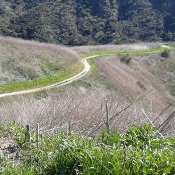
"Fun Trails + Secret Coordinates of Indian Artifacts" Whenever I'm in town, I make it a point to hike at Whiting Ranch. There are two main trailheads, each of which has plenty of parking. One is on Portola Parkway, and the other is on Glenn Road. Not too many people use the isolated Glen Road entrance. After a lot of rain, the park sometimes closes. In fact, the park still had muddy sections today, even though it has not rained for some time. The dangerous areas are well marked with cones. Today, President's Day, the park had a huge turnout. There were tons of mountain bikers as well as hikers. Within 5 minutes, I had witnessed two potentially serious mountain bike incidents. One rider took a gully too quickly and broke his seat post. The other tried to force his way through a very muddy section, and crashed his mountain bike. Fortunately, both riders were okay, although the rider who crashed his bike was laughed at by his buddy. From the Portola road entrance, there is a special historical site. The exact location is: N 33° 41.645 W 117° 39.146. Most people don't know this exists, and it is not marked. About a mile or so up the main trail, on the right side, there is a large boulder with mortar holes clearly visible, created by Native Americans many years ago. The boulder is just two feet off the main trail, so it is really easy to see. Today, for the first time I took the difficult "Mustard Trail" towards Limestone Canyon. It's really not that hard, even though it is rated as difficult. There is a nice vista that you can hike up to as well, which has a picnic table. After the vista, after you come back down, you can continue east towards Limestone Canyon. On the map the trail supposedly ends after a mile or so, but when I arrived at that point the trail kept on going! There is no clear demarcation of the end of the trail. It looks like the supposed end is actually the Lake Forest City Limits. This park is the location of several mountain lion incidents. The most serious was many years ago, but there was an incident just recently as well. So be mindful, and stay on the trail. It is worth reviewing what to do in case of seeing a mountain lion. There are a few outhouses at the trailhead entrances. The payment for parking is only $3. Don't be a cheapskate. Pay the $3. read more



2 years ago

6 years ago
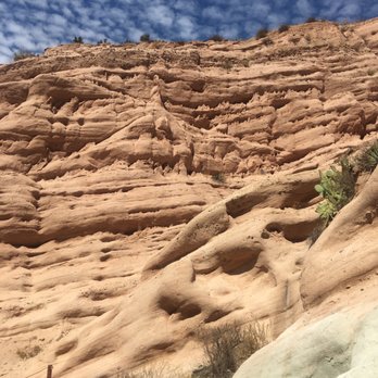
Biker and hiker friendly trails in the OC. It's still open during covid and was bustling when we went there for a quick hike on a Sunday morning. Parking is available for $3. The path going into the park is one-way for bikers and there are multiple trails with clearly marked trail heads that also indicate the level of difficulty. We took the trail that led to the red rocks, and it was a pretty flat trail with a few slight inclines. The end of the trail reminds me of the canyons in Utah and it's cool to see in SoCal. You're not allowed to climb the rocks although people flouted those signs. There are portapotties at the beginning of the trail. I was pleasantly surprised by how much shade there was, but still be sure to bring a lot of water. There were a lot of families and it's good for young kids. There are a couple of benches along the trail, but no water fountains are available. read more


2 years ago

5 years ago
Lol, we looked up the Raptor Road Loop and saw it was an "easy" 2 mile hike. Ended up being a pretty moderate 1 hour hike. But we absolutely loved this gem. The entire time we saw only 3 other people. Totally recommend if you're looking for a non-busy trail to get a good exercise in! read more


5 years ago
Highly recommend checking out vista point. Big incline on final stretch but view is well worth it! read more


4 years ago
Great place to go mountain biking or hiking. I always see deer, squirrels, and all kinds of wildlife. I recommend going with a group because there are mountain lions that roam around. But if you're in a group, you should be okay. read more


9 years ago
Parked at the shopping center for free. Wildlife seen: rabbits, lizards, black beetles. Dreaded Hill is quite long and dreadful. At this time, it is flanked with mustard plant. Our destination was Red Rock Canyon. It's really cool to see this color of rock out in Orange County. You can climb onto it as far as you can go. It's best to have shoes with good traction if you do so. This is a popular place with bikers so always be on the lookout and listen for them as they don't always have bells to warn you they're coming. read more


10 years ago
Whiting Ranch is a special place that exists because of a gap in the urban sprawl that has taken hold of most of the planet. In modern times of parking lots, traffic jams, and shopping malls, It is a reminder that the world before people was really beautiful. Some spots in this park are totally unique. There are huge live oak trees that are easily more than 100 years old, stunning hidden meadows, and even old abandoned shacks that give the place a sense of history and mystery. There are numerous trails that lead back into hills which are green and covered with colorful flowers in the spring, offering amazing views at almost every turn for those willing to put in the effort to find them. The wilderness park itself is pretty large, and there are several access points all around it. The trails attract large numbers of mountain bikers and hikers every weekend, and even during the week. It's not uncommon to see large groups going for trail rides and walks throughout the park. There are trails for all different levels of skill; there are short trails and long trails. You can spend an hour or two here, or you can spend an entire day. It is totally up to you. Do your research before driving out here and you will be well rewarded. The park is also actively patrolled and maintained by park rangers, who not only ensure the safety of the trails but police those using them to make sure they are not destroying anything or causing any trouble. If you are an outdoor enthusiast or just looking for a nice place to take an easy hike, you won't go wrong by visiting Whiting Ranch Wilderness Park. read more


Thanks to yelpers I found that I have a great hiking spot nearby. Located in Foothill Ranch, there are several trailhead locations but the most popular one is located next to a Ralph's shopping center complex. There are a couple dozen designated parking spots ($3/per day - credit cards accepted) although I did see several folks park over at Ralphs and walk in. There are trail maps at this trailhead location. The main trail is mostly shaded and fairly flat for a mile. It then branches off in several directions into different terrains. This time I chose to go to the vista point which meant a good half mile or so of climbing UP. You'll give your legs and heart a good workout if you go this route. You'll feel like you earned the right to eat and yelp a good meal afterward. Lots of people know about this hiking area so you won't be alone on the trails (but it's certainly not crowded). It is also a mountain biking trail, which normally would be a turnoff for me, but most of the bikers are extremely courteous ("on your left!", "thank you!") and there really aren't that many. This is a great hike for bird watchers. Lots of flora and fauna to enjoy too. Sorry dog lovers, no dogs allowed. Oh, don't forget to bring some water! read more


My favorite part of this park is the Red Rocks at the end of the red rock trail! Would never expect such rock formations in the middle of the OC. Otherwise the rest of the trails had nice flora and wildflowers but i think the sun exposure was a bit much (we didn't have a choice but do a midday hike this day) there are many parking lots to start the plethora of trails but we started to the left of the Ralphs which is probably the quickest way to get to the Red Rock trail. it's $3 for parking so pay at the machine and display the receipt on your dashboard most of these trails are exposed so make sure to wear sunblock! NOTE: lot's of bikers ride these trails so be courteous and move to the side to let them through read more


4 years ago
Parking was hard to grab but it was only $3 for the whole day. We were there for a couple hours. Didn't know that it would take 2 (ish) miles before arriving at the area in the pictures that we wanted to see so that surprised us but it was fun! A LOT of people walked this trail during the weekend. read more


I did this hike for the 1st time this morning. Parking- we chose to use the lot near the Ralphs on Portola & Market. The cost is $3 and the machine takes dollar bills and cards. Trail- we did the Borrego Trail which was great...green with shade and a little bit of water; Cattle Loop( I think) was too short to really say much about; Red Rock Trail which is a must-see with the reddish sandstone cliffs; Mustard Trail which was kinda boring; there are many other trails and there were hikers, runners, and bikers...no dogs allowed read more
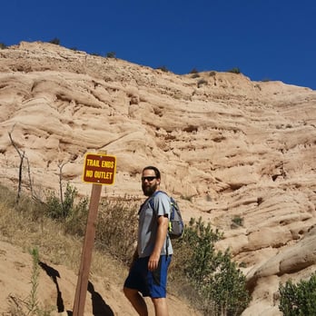




Want to see some red rocks in the OC? Make a special trek here and you'll definitely see them!!! Such a great hiking spot in the South part of the OC that you have to at least go once, in my case it was twice and will be multiple more in the future! Great views, some water spots on the way as you get up on the Mustard trail. Parking: that's a little tricky cuz it's pretty limited, so just pray you find one (it's $3 btw!), otherwise there is a shopping center near by that you can just park there if anything. NO DOGS: there's a reason why there's no dogs allowed on the trail, but yet people STILL bring them in. Do you really want your dog to be a Bob Cat's next meal? I don't think so, so I'd leave your pooch at home in that case! read more


Went hiking with friends one weekend and wow, I can't say anything bad about this place! I LOVE the scenic view, the trails, and the open space. BEAUTIFUL view of the oak woodland canyons, luscious green grass hills, and steep slopes os sage scrub and chaparral. You can really smell the fresh air, see the morning dew drops on the leaves, feel a bit of the chill in the air/the fog...and just take it all in. =) There are many trails of graded roads and single-track trails...perfect place for hikers, mountain bikers, runners, and equestrians. We did the Mustard Trail and the Red Rock Trail. The Red rock formations are beautiful and amazing to check out. The trails have some steepness at certain point so it's great for an effective workout! . Note: Opens 7 am - sunset year round, except after rain. Will definitely be back for more hikes! =) read more




4 stars because the canyon is breathtaking, but lost a star because the trail isn't what it's hyped up to be. Parking is easy since there are two parking spots. The one I went to, I had to pay $3 for. The trail actually is located near a shopping center... Then you start on a scenic trail, that leads up to the trail for Red Rock Canyon. Once you reach the canyon, a sign says not to climb the rocks for preservation purposes. Of course, none of the hikers cared. Neither did I. Overall, this is an easy trail made for the neighboring people or for a simple jog. I highly recommend this hike for beginners. There are a lot of trails and a LOT of people who are just walking and talking. Don't expect to be surrounded by nature. You'll be surrounded by people instead. read more

Page 1 of 5
More info about Whiting Ranch Wilderness Park
26701 Portola Pkwy
Foothill Ranch, CA 92610
Directions
(949) 923-2245
Call Now
Visit Website
http://www.ocparks.com/parks/whiting/
Hours
Indoor Amenities
Outdoor Amenities
Whiting Ranch Wilderness Park Reviews in Other Languages
Ask the Community - Whiting Ranch Wilderness Park
Review Highlights - Whiting Ranch Wilderness Park
You might also consider






















Why does Yelp recommend reviews?


Whiting Ranch Wilderness Park - parks - Updated August 2026
Best of Foothill Ranch
People found Whiting Ranch Wilderness Park by searching for…
Hiking Trails in Foothill Ranch, CA
Waterfall Hike in Foothill Ranch, CA
Places to Take Pictures in Foothill Ranch, CA
National Parks in Foothill Ranch, CA
Flower Field in Foothill Ranch, CA
Things to Do in Foothill Ranch, CA
Rock Climbing in Foothill Ranch, CA
Stairs Workout in Foothill Ranch, CA
Indoor Skate Park in Foothill Ranch, CA
Dog Friendly Hiking Trails in Foothill Ranch, CA
Fishing Spots in Foothill Ranch, CA
Photo Spots in Foothill Ranch, CA
Dog Parks in Foothill Ranch, CA
Fishing Lake in Foothill Ranch, CA
Community Gardens in Foothill Ranch, CA
Scenic Drive in Foothill Ranch, CA
River Swimming in Foothill Ranch, CA
Animal Farm in Foothill Ranch, CA
Shaded Hike in Foothill Ranch, CA
Running Tracks Open to the Public in Foothill Ranch, CA
Browse Nearby
BEST of Foothill Ranch, California Coffee near Whiting Ranch Wilderness Park
BEST of Foothill Ranch, California Restaurants near Whiting Ranch Wilderness Park
BEST of Foothill Ranch, California Things to Do near Whiting Ranch Wilderness Park
BEST of Foothill Ranch, California Playgrounds near Whiting Ranch Wilderness Park
BEST of Foothill Ranch, California Picnic Areas near Whiting Ranch Wilderness Park
BEST of Foothill Ranch, California Breakfast near Whiting Ranch Wilderness Park
BEST of Foothill Ranch, California Campgrounds near Whiting Ranch Wilderness Park
BEST of Foothill Ranch, California Airport near Whiting Ranch Wilderness Park
BEST of Foothill Ranch, California Snow Tubing near Whiting Ranch Wilderness Park


