
Bayside Trail Photos


You might also consider


More like Bayside Trail
Recommended Reviews - Bayside Trail
Start your review...


Reviews With Photos


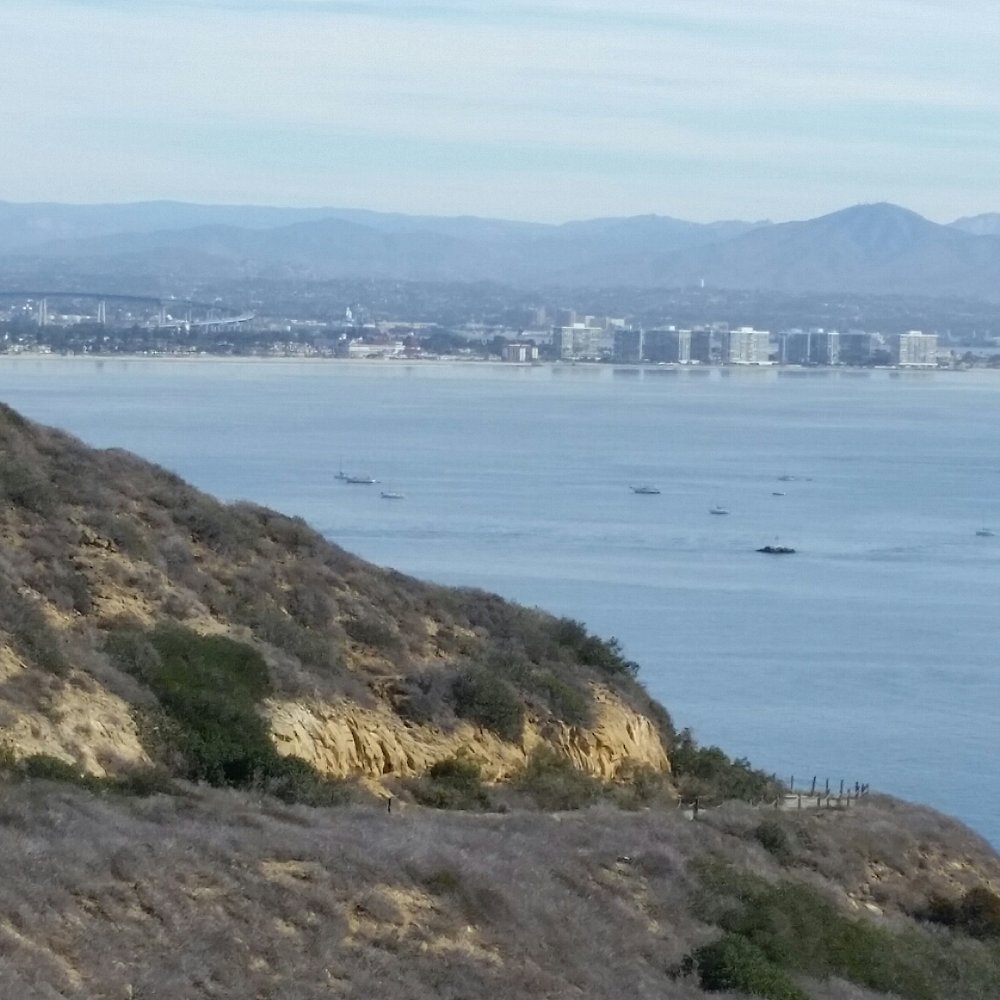
I'm always looking for hiking trails whenever I visit National Parks or Monuments. This is a nice easy trail at Cabrillo National Monument. You can access it from the parking lot. Bayside Trail is around two miles roundtrip and follows an old military road winding down from the top of the park toward San Diego Bay. It offers amazing views of the city of San Diego, the bay and Coronado Island. You can even catch planes taking off from the nearby Naval Base. Other than the uphill climb on the way back, I found the hike pretty easy. There are a few benches along the way if you want to sit and enjoy the view. The sign at the beginning of the trailhead says no dogs or bikes. There are no restrooms or water on the trail either. So make sure you take care of business at the visitor center.


Beautiful trail within the Cabrillo National Park. You have to go all the way past the Military into the National Park to access the Trail. It costs $20 for parking but we purchased the annual pass for National parks for $80 which is worth it since we will be coming back and forth here. The whole area is beautiful and if you are not looking for a hike which is about a 2 mile return loop, you can walk and just enjoy the view at Cabrillo monument.


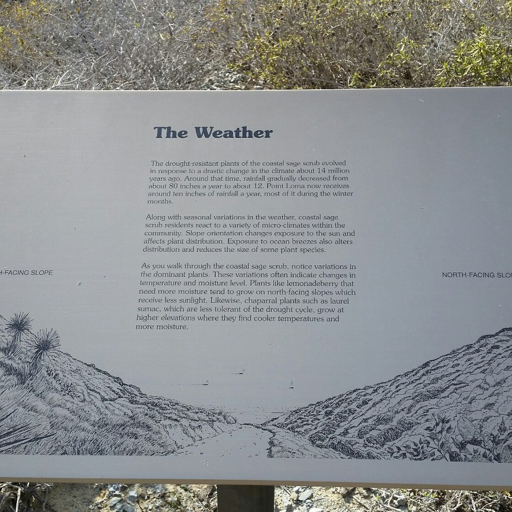
It was free admission on the first day of National Park Week so we came to Cabrillo National Monument for this short hike. The Bayside Trail descends from near the Old Point Loma Lighthouse and winds around the southeastern side of the peninsula. It is an easy round trip of less than two miles. There were several informational signs along the side of the trek describing the weather, wildlife and flora in the area. I don't think you can get a better view of the San Diego harbor and downtown skyline than from here. Many leisure boats were cruising through the water and even some jet skis were plowing through the waves. I can imagine the excitement when an aircraft carrier is departing or approaching the harbor as you would have a front row view from the trail. My only complaint is that I wish the path would wind its way around the southern tip and end at the Point Loma Tide Pools. That would make a great circuit and maximize the views from a level closer to the water.


This is a lovely place for some exercise and fresh air. I took in the views while getting a decent amount of steps in which was nice. To get to Bayside trail, walk toward the lighthouse from the parking lot. You will see signs pointing you to the start of the Bayside trail (a little less than 2.0 miles roundtrip). Note that the first part is on an asphalt road, then it is a easy scramble downhill where you can enjoy amazing views of SD and, ships in the sea and whales if you are lucky. Note that when you get to the end of the trail, you have to turn around and backtrack to get to the parking lot you started in. There can be a lot of foot traffic coming back uphill depending on what time it is. Most of the people were wearing masks and there are only a few narrow points on the trail so technically you can social distance most of the trail if it isn't too crowded. Note that there are no restrooms on the trail. Either make a stop at the lighthouse or at the restrooms near the gift shop. If you are traveling a ways to get here try to come on a clear, sunny day to get the most out of this scenic trail. The park has a $20 day use fee, but if you have a National Park pass or annual Cabrillo one, use it!


Great short hiking trail that winds along the cliffs and hugs the shore of Pacific Ocean. The distance is less than a mile between a parking lot and the lighthouse. The trail is paved with dirt and gravel. The difficulty is easy to moderate. There is no bathroom or water station along the trail. On the morning that we hiked, it was foggy. It was very dramatic with the rolling fog and the crash of the wave. We totally enjoyed the short hike.
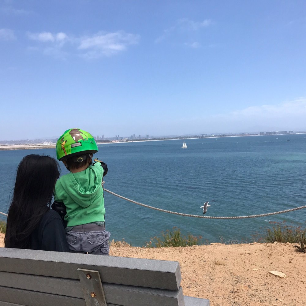

It's literally by the bay and it is one of the nicest walks we have ever done. So peaceful, even though I had to carry my son's bike on the way back. Tons of educational stops that you can read and learn more information about the bay. Great views, wind blowing, quite yet enjoyable, and the best part is the walk coming back. PS. No bikes allowed. We should of read the sign.....The more I know, the more I appreciate.


Bayside Trail is located in the historic Cabrillo National Monument in San Diego California. This trail is part of the National Park Service of the U.S. Department of the Interior. There is is so much to see & learn here at the Cabrillo National Monument . Visitor Center where one can learn how San Diego was discovered and by whom. Point Loma Lighthouse/ area for Whale Watching/ Access to Tidepools / Walking trail / Defense Exiibit. This review is of Bayside Trail Only ! How appropriate to name a walking trail along the cliffs of the San Diego Bay "Bayside Trail". The trail is 1.86 miles/ 3.1 km (round trip). It was an old army road used during World War 1. The starting point of the trail is right in front of the Point Loma Lighthouse. Here you will find a paved road winding down the mountain for about a third on a mile. The trail turns to gravel at this point, taking you down a steep trail along the coast. Along the trail you will find educational material of local plants, animals, and history of the area. You will also come across remnants of old defense structures used during the war. Just remember that this trail takes you down roughly 328 feet ! Which means you will have to hike back up 328 feet ! No dogs or bikes are allowed on the trail . Restrooms and refreshments can be found at the visitors center nearby. I found the trail to be a little challenging going back up, but well worth the trip to see Coronado Island and the City of San Diego from across the bay !


Well Date of Visit : January 20 , 2020 and it was Free Day at Cabrillo National Monument. So Yuppie !! Off I went on this Trail which is located inside Cabrillo National Monument and close to the Lighthouse there . It's a good trail and there is lots of good sightseeing here !! With Beautiful Views of the Ocean and lots of Trees and Greenery as you walk this Trail . It's an easy trail not hard at all !! It is perfect for anyone who loves the outdoors and enjoys hiking. Now as I was walking this trail I was just enjoying seeing how beautiful the views were here . It's amazing and perfect for pictures and a easy walk around !! So if you happen to be at the Cabrillo National Monument and close to the Lighthouse I do suggest you give this trail a shot !! The Parking here is no problem !! It's just separated into small lots !! I do suggest you give it a try and enjoy the amazing Views here !!!
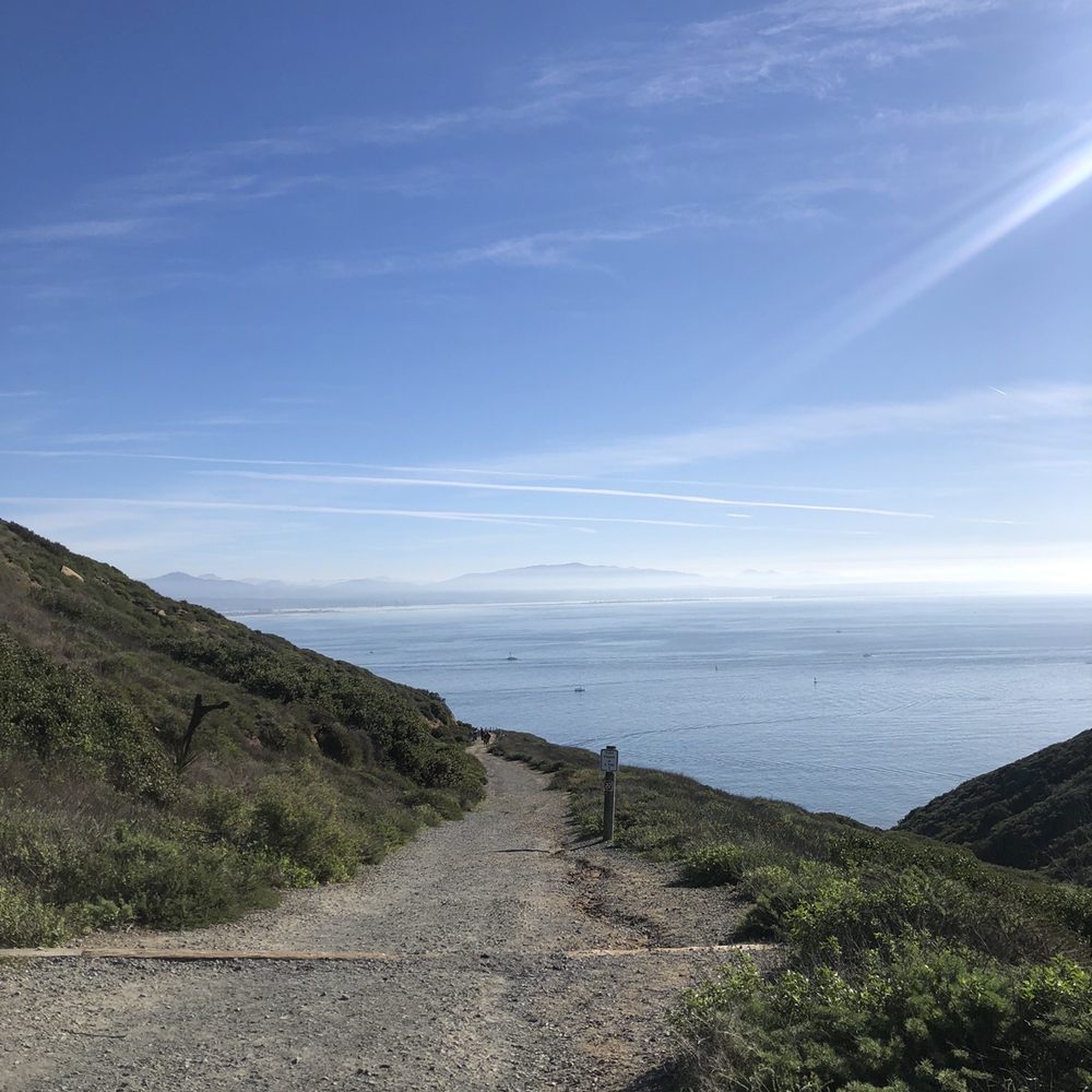


Wasn't my favorite hike ever. Part of it was on the side of a paved road which had cars zooming up and down. The trail was pretty nice but the views were mostly of a naval base. Hiking all the way to the bottom also didn't bring us to the water, which was a bit disappointing. read more


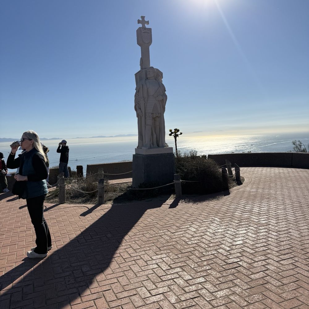

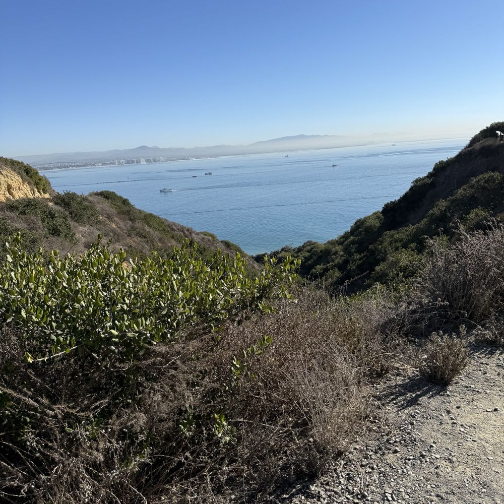


Accessibility: not wheelchair accessible as the trail is uneven dirt with stairs. Experience: beautiful trail that takes you to the rocks directly above the water. DO NOT WALK NEAR THE EDGES OF THE ROCKS. THERE IS NO LIFEGUARD TO SAVE YOU. I do not recommend this hike for little kids, just for safety reasons. Keep an eye on the quickly rising tide to make sure you don't get trapped anywhere. Beautiful place for adults. read more


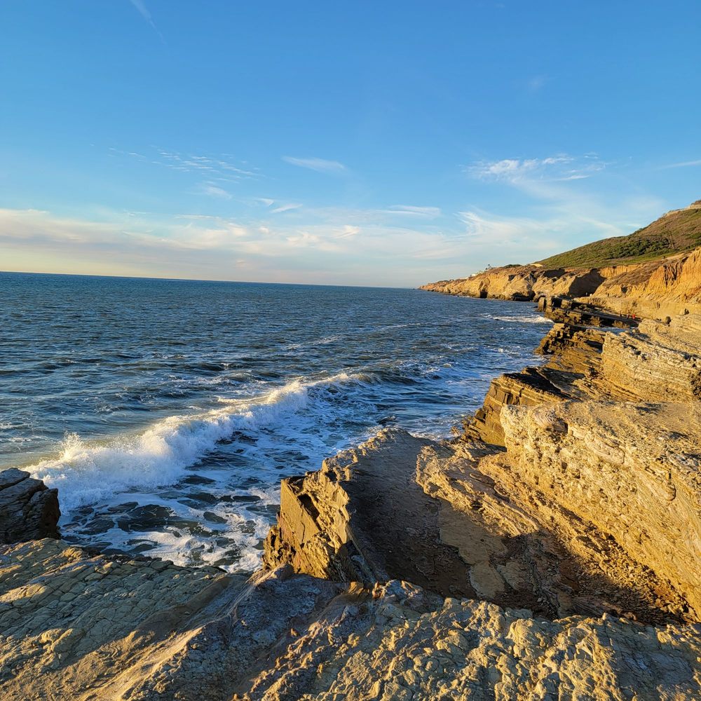


I'm always looking for hiking trails whenever I visit National Parks or Monuments. This is a nice easy trail at Cabrillo National Monument. You can access it from the parking lot. Bayside Trail is around two miles roundtrip and follows an old military road winding down from the top of the park toward San Diego Bay. It offers amazing views of the city of San Diego, the bay and Coronado Island. You can even catch planes taking off from the nearby Naval Base. Other than the uphill climb on the way back, I found the hike pretty easy. There are a few benches along the way if you want to sit and enjoy the view. The sign at the beginning of the trailhead says no dogs or bikes. There are no restrooms or water on the trail either. So make sure you take care of business at the visitor center. read more


Beautiful trail within the Cabrillo National Park. You have to go all the way past the Military into the National Park to access the Trail. It costs $20 for parking but we purchased the annual pass for National parks for $80 which is worth it since we will be coming back and forth here. The whole area is beautiful and if you are not looking for a hike which is about a 2 mile return loop, you can walk and just enjoy the view at Cabrillo monument. read more

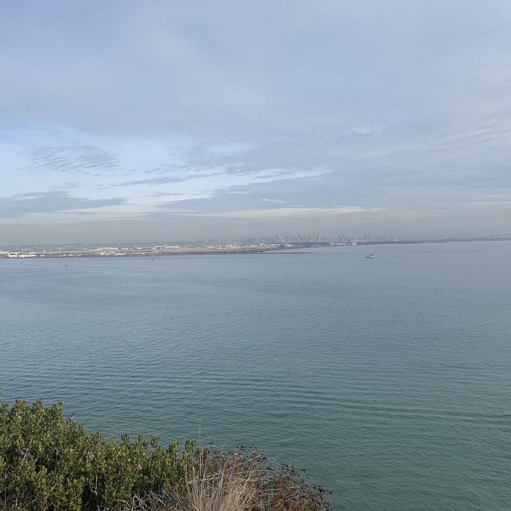


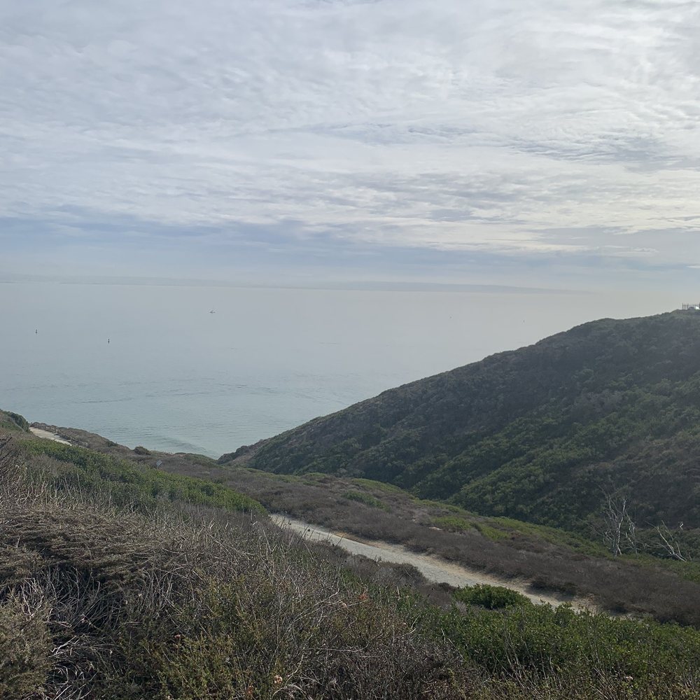


It was free admission on the first day of National Park Week so we came to Cabrillo National Monument for this short hike. The Bayside Trail descends from near the Old Point Loma Lighthouse and winds around the southeastern side of the peninsula. It is an easy round trip of less than two miles. There were several informational signs along the side of the trek describing the weather, wildlife and flora in the area. I don't think you can get a better view of the San Diego harbor and downtown skyline than from here. Many leisure boats were cruising through the water and even some jet skis were plowing through the waves. I can imagine the excitement when an aircraft carrier is departing or approaching the harbor as you would have a front row view from the trail. My only complaint is that I wish the path would wind its way around the southern tip and end at the Point Loma Tide Pools. That would make a great circuit and maximize the views from a level closer to the water. read more
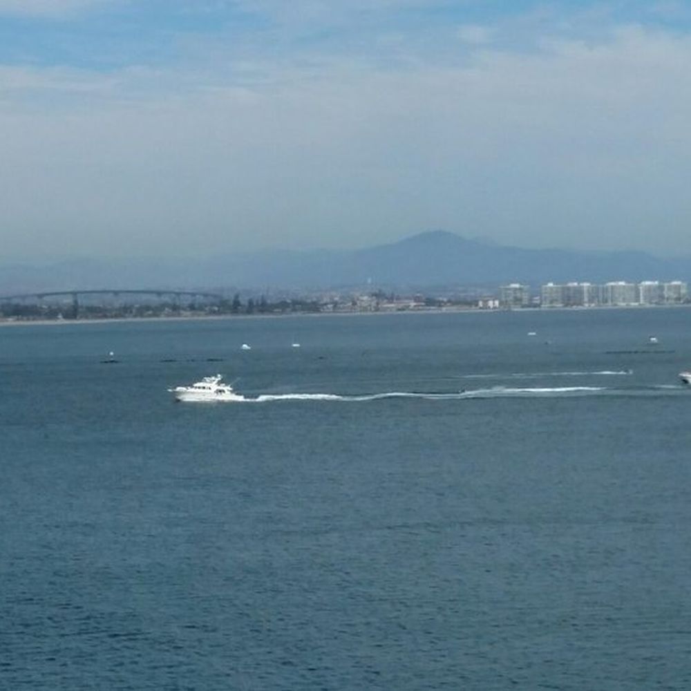






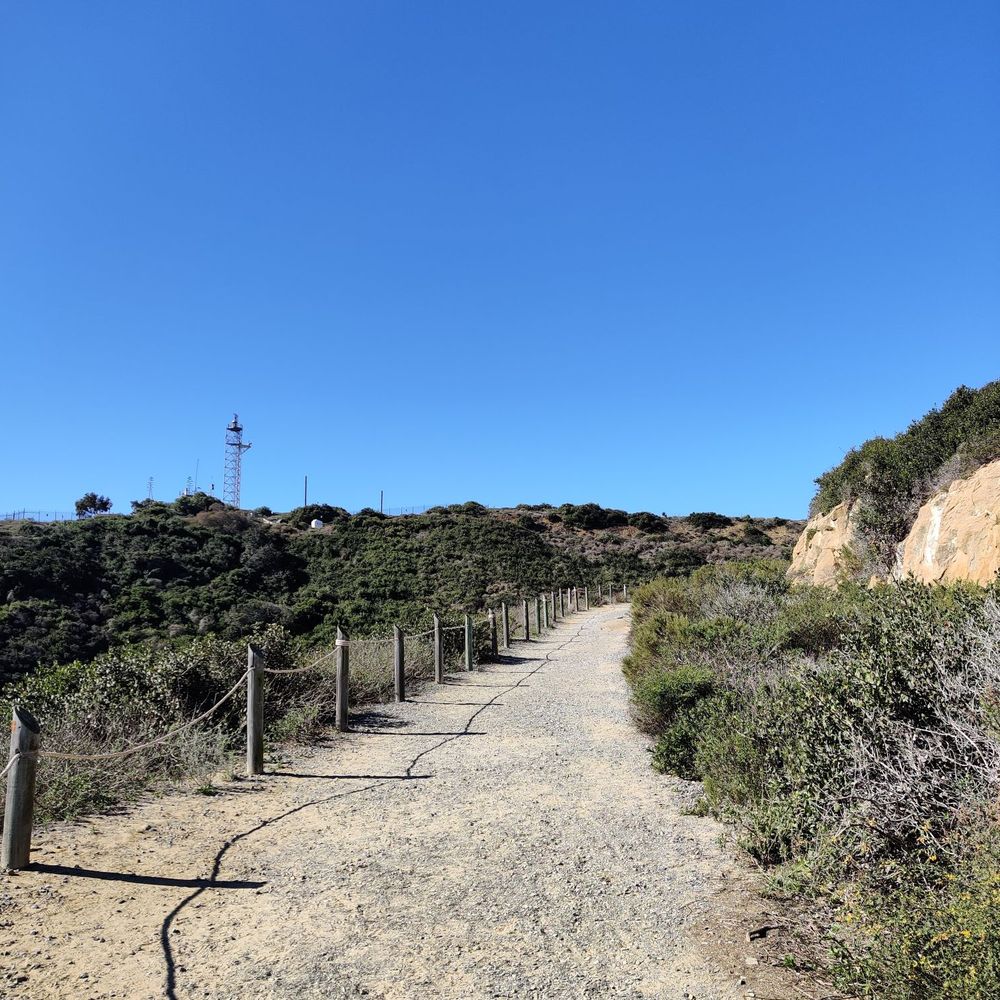
This is a lovely place for some exercise and fresh air. I took in the views while getting a decent amount of steps in which was nice. To get to Bayside trail, walk toward the lighthouse from the parking lot. You will see signs pointing you to the start of the Bayside trail (a little less than 2.0 miles roundtrip). Note that the first part is on an asphalt road, then it is a easy scramble downhill where you can enjoy amazing views of SD and, ships in the sea and whales if you are lucky. Note that when you get to the end of the trail, you have to turn around and backtrack to get to the parking lot you started in. There can be a lot of foot traffic coming back uphill depending on what time it is. Most of the people were wearing masks and there are only a few narrow points on the trail so technically you can social distance most of the trail if it isn't too crowded. Note that there are no restrooms on the trail. Either make a stop at the lighthouse or at the restrooms near the gift shop. If you are traveling a ways to get here try to come on a clear, sunny day to get the most out of this scenic trail. The park has a $20 day use fee, but if you have a National Park pass or annual Cabrillo one, use it! read more



3 years ago
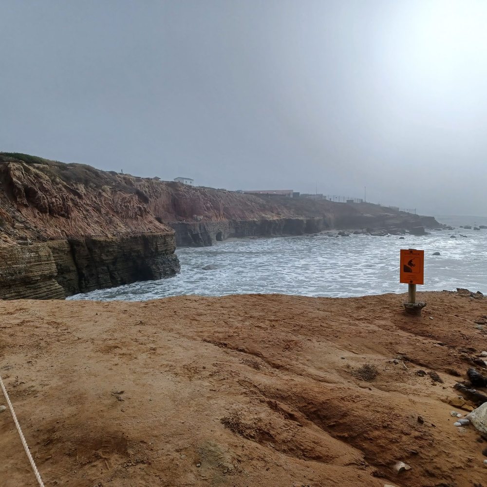
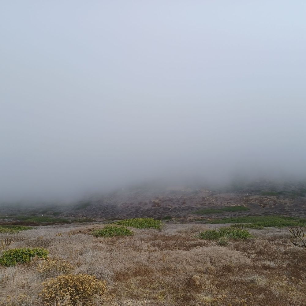
Great short hiking trail that winds along the cliffs and hugs the shore of Pacific Ocean. The distance is less than a mile between a parking lot and the lighthouse. The trail is paved with dirt and gravel. The difficulty is easy to moderate. There is no bathroom or water station along the trail. On the morning that we hiked, it was foggy. It was very dramatic with the rolling fog and the crash of the wave. We totally enjoyed the short hike. read more


9 years ago
It's literally by the bay and it is one of the nicest walks we have ever done. So peaceful, even though I had to carry my son's bike on the way back. Tons of educational stops that you can read and learn more information about the bay. Great views, wind blowing, quite yet enjoyable, and the best part is the walk coming back. PS. No bikes allowed. We should of read the sign.....The more I know, the more I appreciate. read more


10 years ago
Bayside Trail is located in the historic Cabrillo National Monument in San Diego California. This trail is part of the National Park Service of the U.S. Department of the Interior. There is is so much to see & learn here at the Cabrillo National Monument . Visitor Center where one can learn how San Diego was discovered and by whom. Point Loma Lighthouse/ area for Whale Watching/ Access to Tidepools / Walking trail / Defense Exiibit. This review is of Bayside Trail Only ! How appropriate to name a walking trail along the cliffs of the San Diego Bay "Bayside Trail". The trail is 1.86 miles/ 3.1 km (round trip). It was an old army road used during World War 1. The starting point of the trail is right in front of the Point Loma Lighthouse. Here you will find a paved road winding down the mountain for about a third on a mile. The trail turns to gravel at this point, taking you down a steep trail along the coast. Along the trail you will find educational material of local plants, animals, and history of the area. You will also come across remnants of old defense structures used during the war. Just remember that this trail takes you down roughly 328 feet ! Which means you will have to hike back up 328 feet ! No dogs or bikes are allowed on the trail . Restrooms and refreshments can be found at the visitors center nearby. I found the trail to be a little challenging going back up, but well worth the trip to see Coronado Island and the City of San Diego from across the bay ! read more
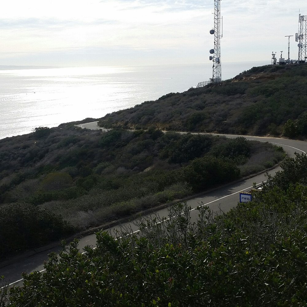






Well Date of Visit : January 20 , 2020 and it was Free Day at Cabrillo National Monument. So Yuppie !! Off I went on this Trail which is located inside Cabrillo National Monument and close to the Lighthouse there . It's a good trail and there is lots of good sightseeing here !! With Beautiful Views of the Ocean and lots of Trees and Greenery as you walk this Trail . It's an easy trail not hard at all !! It is perfect for anyone who loves the outdoors and enjoys hiking. Now as I was walking this trail I was just enjoying seeing how beautiful the views were here . It's amazing and perfect for pictures and a easy walk around !! So if you happen to be at the Cabrillo National Monument and close to the Lighthouse I do suggest you give this trail a shot !! The Parking here is no problem !! It's just separated into small lots !! I do suggest you give it a try and enjoy the amazing Views here !!! read more


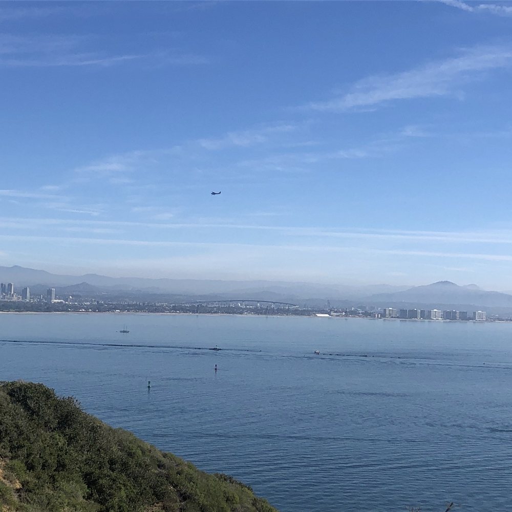


9 years ago
More info about Bayside Trail
1800 Cabrillo Memorial Dr
Cabrillo National Monument
San Diego, CA 92106
Point Loma
Directions
Hours
Indoor Amenities
Outdoor Amenities
Ask the Community - Bayside Trail
Is this trail stroller friendly?
Yes it is stroller friendly If you start from the Cabrillo Park Information Center office going down to Bayside Trail.…
Review Highlights - Bayside Trail
You might also consider






















Why does Yelp recommend reviews?
1 review that is not currently recommended
The reviews below are not factored into the business's overall star rating.

2 years ago
Bayside Trail - hiking - Updated September 2026
Best of San Diego
People found Bayside Trail by searching for…
Running Trails in San Diego, CA
Stairs Workout in San Diego, CA
Places to Walk in San Diego, CA
Walking Trails in San Diego, CA
Hiking Trails in San Diego, CA
Dog Friendly Hiking Trails in San Diego, CA
Running Stairs in San Diego, CA
Visitor Centers in San Diego, CA
Tourist Attractions in San Diego, CA
Scenic Overlook in San Diego, CA
Trending Searches in San Diego, CA
Apple Orchards near Bayside Trail
Apple Picking near Bayside Trail
Bird Sanctuary near Bayside Trail
Cliff Jumping near Bayside Trail
Consignment Shops near Bayside Trail
Cruising Spots near Bayside Trail
Dog Friendly Things To Do near Bayside Trail
Dog Swimming near Bayside Trail
Estheticians near Bayside Trail
Eyebrow Threading near Bayside Trail
Eyelash Extensions near Bayside Trail
Furniture Stores near Bayside Trail
Kids Haircut near Bayside Trail
Picnic Areas near Bayside Trail
Private Schools near Bayside Trail
Public Shower near Bayside Trail
Rock Quarry near Bayside Trail
Scenic Night View near Bayside Trail
Scenic Overlook near Bayside Trail
Star Gazing near Bayside Trail
Sunrise View near Bayside Trail
Browse Articles
Browse Nearby
Browse Brands
Related Searches in San Diego, CA
Affordable Kayak Rental Services in San Diego, California
Best Dog Hiking Trails Around San Diego, California
Best Fishing Locations and Guides in San Diego, California
Best Nature Trails for Hiking in San Diego, California
Best Places for Horseback Riding in San Diego, California
Best Sightseeing Experiences Available in San Diego, California
Check Out Off Road Trails in San Diego, California
Discover Dog Friendly Trails to Explore in San Diego, California
Discover Easy Hiking Trails Near San Diego, California
Discover Kid Friendly Hiking Trails in San Diego, California
Discover Popular Bike Trails in San Diego, California
Discover Scenic Mountain Bike Trails Near San Diego, California
Discover Walking Parks in San Diego, California Near You
Discover a Hiking Trail in San Diego, California
Discover the Best Night Hike Trails in San Diego, California
Dog-Friendly Hikes With Dogs in San Diego, California
Enjoy Camping Adventures Around San Diego, California
Enjoy Kayaking Adventures in San Diego, California
Enjoy Off Leash Dog Hikes in San Diego, California
Enjoy Scenic Places to Walk in San Diego, California
Enjoy Tent Camping Spots Around San Diego, California
Enjoy a Beautiful Waterfall Hike in San Diego, California
Enjoy the Best Walking Path in San Diego, California
Enjoy the Best Walking Trails in San Diego, California
Explore Beautiful Parks and Green Spaces in San Diego, California
Explore Easy Hikes Perfect for All in San Diego, California
Explore Fun Activities to Do in San Diego, California
Explore Picnic Parks Near San Diego, California
Explore Popular Campgrounds Near San Diego, California
Explore Top Dog Parks in San Diego, California Near You
Explore the Best Beach Spots in San Diego, California
Family Friendly Hiking With Kids in San Diego, California
Find Top Dog Friendly Parks to Visit in San Diego, California
Find the Best Parks for Picnics in San Diego, California
Hiking Trails With Waterfalls in San Diego, California
Off Leash Dog Hiking Trails in San Diego, California
Popular Outdoor Activities to Try in San Diego, California
Popular Picnic Spots to Visit in San Diego, California
Popular Waterfall Hiking Trails in San Diego, California
Safe River Swimming Areas in San Diego, California
Safe and Fun Parks for Kids in San Diego, California
Top Hiking Trails to Explore in San Diego, California
Top Playgrounds for Kids to Enjoy in San Diego, California
Top Running Trails to Explore in San Diego, California
Top Swimming Lakes to Enjoy in San Diego, California
Top Swimming Spots and Pools in San Diego, California
Top-Rated Camping Sites in San Diego, California


