Bright Angel Trail Photos


You might also consider


More like Bright Angel Trail
Recommended Reviews - Bright Angel Trail
Start your review...


Reviews With Photos


Best place to run down the Grand Canyon if you want an easy run go down to the 3 Mile mark and turn around I would make sure that you bring plenty of water and some hydration along with you tailwind is a good choice.


Would definitely suggest coming another time. Unfortunately right now they are doing water reorganization/renovation to simplify or fix the access water points on the trial until March. The trail is open for 0.5 miles and that was so pretty so I'll definitely come back for the trail in the future.


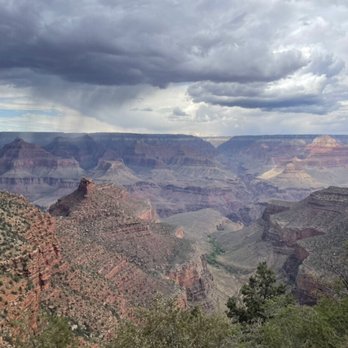
The most up-kept hike in the park. Quote from a trail guide headed down with his group. This hike can be done on mule, or on foot. No dogs allowed down though, but there are kennels to board your dog at while visiting. We passed a couple of guys on horseback with several mules carrying supplies to the working ranch all the way down the valley. You will have amazing views throughout the entire hike. We only went down a couple miles cuz the way up is all extremely inclined. There are two rest stops with bathrooms and water fountain, but we didn't even get that far to reach the first one. We were lucky enough to catch a glimpse of the thunderstorm that was headed in from the canyon. So many amazing shots that will have to be framed.


The first time I did this hike was when I was in high school with my dad. It's Grand Canyon's most popular trail and starts at Grand Canyon Village on the south rim. The trail descends 4380 feet to the Colorado River. The beginning part of the trail has a lot traffic and then it thins out the farther you go. Bright Angel Trail has several turnaround stops along the way or you can do the whole ten miles to Phantom Ranch. There is the 1.5 mile Resthouse, 3 Mile Resthouse, Indian Garden (5 miles), River Resthouse (8 miles and intersects with River trail), and Bright Angel Campground at the end. There is camping at Indian Garden and Bright Angel Campground which requires a permit. I recently did the 3 mile turnaround. I haven't done this hike in years and wanted to test my endurance level. I ended up upgrading my hiking boots when I got back home. There are lots of grounds squirrels along the way that beg for food and aren't afraid of humans. The views are amazing as you descend into the canyon. The trail is steep, has lots of switchbacks, and can be brutal on the way back up. Keep in mind that uphill hikers and mules have the right of way. Just remember to have a plan in place for how long you want to hike and have plenty of water and food. It is recommended to not hike to the river and back in one day.


My cousin tried to talk me into taking S Kaibab into the canyon but my heart was really set on Bright Angel. The location is incredibly convenient, we were able to park really close to the trailhead for our 3 day hike into the back country. About half way down, I started repeating the blerp you hear before getting on Thunder Mountain railroad. The inspiration for the ride is clearly evident. Check the backcountry permit station for water status. Don't just assume they will be turned on at the 1.5 or 3 mile rest stops. The views are breathtaking. The elevation will test your resolve. Train, take it easy, and enjoy. There really is no where else I am more happy than on a trail like Bright Angel.


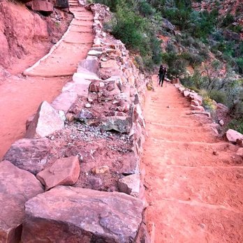
Moderate hiking trail, which allows to you descend from the lodges and nearby parking lot. The hike will take about an hour and 30 minutes and will descend about 1200 feet from the top. The trail is rocky and tough on the knees. Hikers coming up to the top have the right of way, as well as riders on mules. Be careful for mule droppings along the way. There are many wild goats along this trail. The hike will take you to the restroom, and you have the choice of going further downhill. The hike back up is more taxing on your body, and excellent cardio workout!
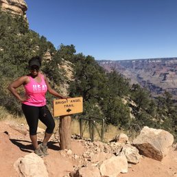

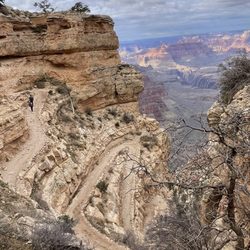
I've gotta be honest and say that this wasn't my favorite trail to hike. For one thing, I've never been a fan of hiking down and then having to come back up. But hey, if that's your thing and you're up for the challenge, then do you boo! Another thing is, this trail is super crowded so you better be prepared to hike with tons of other people. This is one if not the most heavily trafficked trail within Grand Canyon National Park. You basically hike all of the way down into the canyon and then all the way back up. Well, that's if you WANT to hike all the way down there. It's 9.5 miles one way down into the canyon with a 4,380 elevation drop, meaning that you'll have to climb that back up to get to the top again. I guess this trail is so appealing to people because it presents a challenge. And I get it, but that challenge is just not for yours truly. Most people hike all the way down, camp in the canyon or stay at Phantom Ranch, and then hike back up the next day. And then there are those who do the entire thing in one day. Kudos to you all because I am not on that level. What I will say is that the view from inside of the canyon as you hike down is pretty damn amazing. But after a while, it all kind of starts to look the same. This trail really brought a whole new meaning to the definition of "canyon" for me. I've hiked many different canyons, but none like this one. The wildlife is rampant on this trail too! I actually saw two deer on the trail. One was a baby deer who couldn't quite catch his footing while he was blazing up the canyon. Don't worry buddy, I get it. The trail as slippery for me too. Speaking of the trail, it's basically just a ton of switchbacks that go all the way to the bottom of the canyon. It actually looks pretty cool when you're looking at it for the Rim Trail and it's amazing to see people all the way at the bottom. They look like little ants! I should also mention the change in weather. When I got to the park around 6:30 am, it dead 35 degrees. By the time I got to the 1.5 mile marker, it was already 70+ degrees. The deeper you go into the canyon, the hotter it will be. Make you bring lots of water because there are only a few water stations throughout the hike. Also, the squirrels are super aggressive. Watch your food and your bags because they have no problem taking your food. They seem to be used to people. There's also tons of mule pooh on the trails, so watch your step. All in all, I'm happy that I was able to hike Bright Angel, but it just wasn't my favorite and I probably wouldn't do it again.
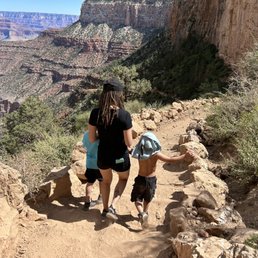

down is definitely easier than the trek up / we didn't see any other children on the trail as it has the potential to get a little intense if you don't chose the right time to turn back around. If you have young children my husband and I recommend turning back after the second tunnel ...unless your ambitious like our little ones it was an amazing experience, we got to experience seeing the mules go up and down the trails , the most friendly squirrels, and friendly folks trailing along with us! for sure our new family annual go-to place


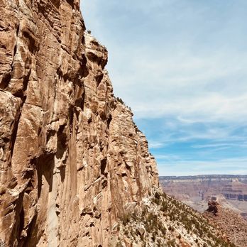
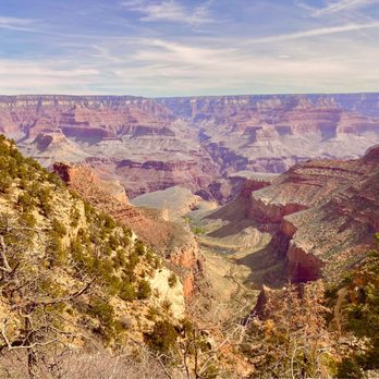
The trail winds to keep it interesting and offer different views of the canyon. In March, at the time of this writing there were icy patches toward the start of the trail. This is a popular trail since it is close to all the lodges. It leads to some congestion when the path isn't prime. In addition, the 1.5 mile rest station was closed so check ahead. I was glad I brought extra water even though the ranger at the entrance said it would be available.


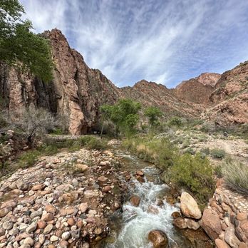
Finished the Rim to River to Rim hike with the Team from South Rim Kaibab Trail to Phantom Ranch to Bright Angel. This is an arduous hike, but with a team, you realize you can really get motivated and achieve more than what you think you are capable of. Amazing views and experiences. Memories for a lifetime!
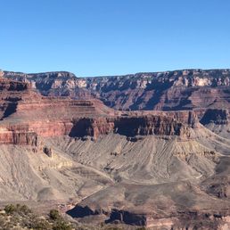

This trail was one of the greatest memories of 2020. We came back up the Bright Angel Trail and went down on the South Kaibab trail. The second you pull up to the rim, your emotions go through the roof. This was a bucket lister and was very glad we got to do it, especially with everything going on this year. The hike definitely isn't for the faint of heart. We back packed down into the canyon, so we had about 60 lbs on our back. If you look at the pictures you can see that there is quite a bit of snow this time of year, so you need the correct equipment. (Shoes, clothes, poles, Yak Tracks, etc.) You should also physically prepare for this hike. If you go to the bottom, you need to be in good shapes and ready for a challenge. The bright Angel trail really shows the beauty of the Grand Canyon and gives you some spectacular vantage points of the park. Plan to stay at the bottom for at least a night because they have an awesome cantina down there. You will hear great stories and make some memories here!


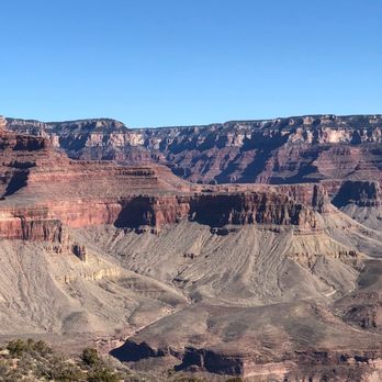
5 Stars for a trail that gave me and my friends life. (Plus some heavy breathing, profuse sweating, and convulsing muscles... it was srsly so sexy, guys.) After starting the day off with sunrise at Yaki Point, I thought that everything else at the Grand Canyon was going to be "meh" in comparison to the absolute insanity of watching sunlight slowly washing over the red and purple cliffs that morning. I'm glad to say I was wrong and this hike wasn't the "cool story, bro." experience I was predicting, but instead was ALL of the "YAAAAAS KWEEEEEEEN"s you could imagine. We started at Bright Angel Trail heading down into the canyon. Right near the trailhead the park rangers have set up a bizarrely harrowing (see: grotesque) sign reminding you to know your level of athleticism and to hydrate. The sign is an oddly life-like drawing of a man on all fours vomiting his guts out on the trail. Soooo, yeah... We were warned. (I pray to GOD someone got a pic of this sign and posts it to Yelp.) We opted to take the 1.5 mile hike down and turn back to finish out a good 3 miles (other options include 3 miles down and back up, and other options my mind wouldn't even allow me to comprehend because they were so beyond my ability). So, three miles. Seemed light and simple enough. *LIES* That bish was FIIIIIRE (in my thighs). The trail was nice and wide, with only a few moments that felt a bit narrow for passing (no rails here, folks!). It was also nice to see how many people were hiking the trail. Though we had some time walking on our own, it was great to pass other hikers (including kids!) and chuckle while nodding knowingly about our shared burning thigh experiences. Except that one dude that passed us like three times because he was literally sprinting down and up and down again... Screw that guy... One thing to note is that you should definitely bring tons of water and snacks and don't be afraid to take breaks when you feel dizzy. It is crazy how tough it can be to descend and ascend such altitudes in one hike. Plus, you are literally in one of the most beautiful natural sites in the world so periodic stops to slow your heart while gazing out to the incredible vistas is not so much a suggestion as an absolute must. And now, I'd like to finish this review with an apt quote: "Because in the end, you won't remember the time you spent working in the office or mowing your lawn. Climb that goddamn mountain." ― Jack Kerouac


The Bright Angel Trail is one of the more heavily trafficked trails on the South Rim due to its location, the fact that it's a wider path and well maintained and just an overall beautiful hiking spot. Located right behind the Bright Angel lodge and near Kolb Studios, there is some parking to be had nearby but also has the Blue Shuttle stop just a short walk away. Arriving early to the trail during the fall (slower tourist season) and on a weekday, I easily found parking. Can't vouch for other times of the year or weekends but I read it gets crowded. Do your research and know your hiking abilities in advance. This is a tough trail. As an avid hiker I've done some tough hikes, including the uphill return hike out of the crater on Haleakala in Maui (where you're up 10,000 feet heading down to 7000 ft and back up again.) I found this ascent to be tougher! There are a few key turn around points at 1.5, 3 and 4.5 miles. At the 1.5 and 3 mile points there is a rest house and pit toilets at each. That provides shade and a bathroom break should you need it. It's not advised to go further than Indian Gardens (the 4.5 mile stop) for a day hike. Since I only had 1 full day in the Grand Canyon, I choose to turn around at the 3 mile rest house. That still gets you far enough in to the canyon to get a sense of the immensity and beauty that you can't see from the rim. The trail is a combo of rocky and sandy, stairs and switchbacks and sections that have steep inclines and declines. You will likely run in to mule trains (give them the right of way and stay to the canyon wall.) I got to see one and it was actually pretty cool. The 6 miles ended up taking me about 4 1/2 hours including stopping at the two rest areas and some pauses on the ascent. I brought about 3 liters of water which was sufficient. Going any further you'd definitely want more. During the summer months the rest stops have water. When I went in October, the 1.5 mile rest house didn't have any water but the 3 mile one did. Rangers do patrol the trail and check in on hikers but don't count on them to be there when you need someone and are in trouble. It's a manageable trail if you've got moderate hiking skills but it does kick your butt regardless. I also lucked out on my hike in that most of it ended up being in the shade-I've read other hikers recount of a grueling hike back up in blazing sun. Other tips-hiking poles help (I didn't have any but wish I did-the climb down was harder on my knees than the way up), rest often when you need it and don't be ashamed to turn back if you feel you've hit your limits. Finally, wear layers, a hat, sunscreen and preferably hiking boots that go up to your ankles-you'll definitely need that support. Enjoy and be safe!
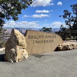

If one thinks hiking nine miles in or out of the Grand Canyon is as easy as walking to the store, think again. Located a few hundred yards from where we are staying, the Bright Angel Trail is one of the superhighways, with its heavenly name making it the most well-known trail. It follows an old Native American route zigzagging down a vertical wall and then cuts across the flat plateau to the river from the South Rim. Early this morning while the temperature was still cool, my partner and I took only a short distance. The trail was safe. We've seen hikers of all shapes, sizes, ages, and fitness levels. It was well-maintained, easy to follow, consistently about 4 feet wide, and has wider sections for passing. The steepness of the trail is very misleading on the way down. Plan on taking twice as long to hike up as it took to hike down. We enjoyed the views, which can be more spectacular in the canyon than from the rim. There is something about actually being in the canyon that is more memorable and moving than being on the rim. read more


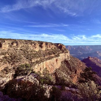
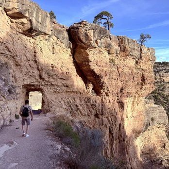
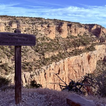


This is the most popular hiking trail into Grand Canyon! Even though it is well-traversed, this is also a dangerous trail for people who are not prepared, as it's wayy easier hiking down...but you have to contend with the hike up. Also, there is limited water on the trail (and sometimes there are pipeline breaks), with not a lot of shade. With hot weather, this could be a deadly hike. The trail head has bathrooms and a water filling station. Definitely use them before hiking down. This hike is well maintained, with mules sharing the trail. You can see them...or at least smell them as they leave poop on the trail. I hiked down to the Second Tunnel (1.8 miles) and it wasn't too bad, but I was unfortunately limited on time. It seems past this point the crowds thinned out. Havasupai Gardens at 9 miles round trip is the most the rangers recommend as a day trip. I loved how the view of the Canyon changed as I descended the trail! read more
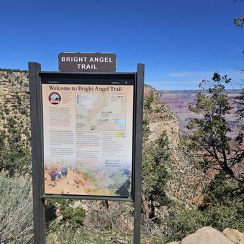
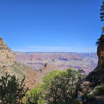


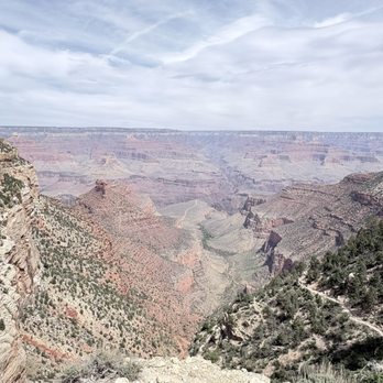
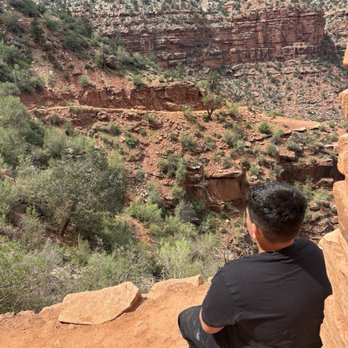
This trail was breathtaking. I will say that if you are not in shape even though it is listed as moderate you may want to rethink how far you go or maybe prepare with lots of fluids and take your time. We did see a rattlesnake on the trail. There are tours with mules that you can ride down and up and it is about 3/4th of the day at $500 a pop but honestly we saw a tour and it looked super cool. This trail may not be suited for young kids if they do not listen. There are no measures in place to make sure people don't go over the sides. It's a little scary at first. I really enjoyed this hike. read more



11 months ago
Best place to run down the Grand Canyon if you want an easy run go down to the 3 Mile mark and turn around I would make sure that you bring plenty of water and some hydration along with you tailwind is a good choice. read more


Would definitely suggest coming another time. Unfortunately right now they are doing water reorganization/renovation to simplify or fix the access water points on the trial until March. The trail is open for 0.5 miles and that was so pretty so I'll definitely come back for the trail in the future. read more


3 years ago
The most up-kept hike in the park. Quote from a trail guide headed down with his group. This hike can be done on mule, or on foot. No dogs allowed down though, but there are kennels to board your dog at while visiting. We passed a couple of guys on horseback with several mules carrying supplies to the working ranch all the way down the valley. You will have amazing views throughout the entire hike. We only went down a couple miles cuz the way up is all extremely inclined. There are two rest stops with bathrooms and water fountain, but we didn't even get that far to reach the first one. We were lucky enough to catch a glimpse of the thunderstorm that was headed in from the canyon. So many amazing shots that will have to be framed. read more


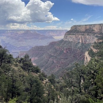




The first time I did this hike was when I was in high school with my dad. It's Grand Canyon's most popular trail and starts at Grand Canyon Village on the south rim. The trail descends 4380 feet to the Colorado River. The beginning part of the trail has a lot traffic and then it thins out the farther you go. Bright Angel Trail has several turnaround stops along the way or you can do the whole ten miles to Phantom Ranch. There is the 1.5 mile Resthouse, 3 Mile Resthouse, Indian Garden (5 miles), River Resthouse (8 miles and intersects with River trail), and Bright Angel Campground at the end. There is camping at Indian Garden and Bright Angel Campground which requires a permit. I recently did the 3 mile turnaround. I haven't done this hike in years and wanted to test my endurance level. I ended up upgrading my hiking boots when I got back home. There are lots of grounds squirrels along the way that beg for food and aren't afraid of humans. The views are amazing as you descend into the canyon. The trail is steep, has lots of switchbacks, and can be brutal on the way back up. Keep in mind that uphill hikers and mules have the right of way. Just remember to have a plan in place for how long you want to hike and have plenty of water and food. It is recommended to not hike to the river and back in one day. read more


My cousin tried to talk me into taking S Kaibab into the canyon but my heart was really set on Bright Angel. The location is incredibly convenient, we were able to park really close to the trailhead for our 3 day hike into the back country. About half way down, I started repeating the blerp you hear before getting on Thunder Mountain railroad. The inspiration for the ride is clearly evident. Check the backcountry permit station for water status. Don't just assume they will be turned on at the 1.5 or 3 mile rest stops. The views are breathtaking. The elevation will test your resolve. Train, take it easy, and enjoy. There really is no where else I am more happy than on a trail like Bright Angel. read more



6 years ago
Moderate hiking trail, which allows to you descend from the lodges and nearby parking lot. The hike will take about an hour and 30 minutes and will descend about 1200 feet from the top. The trail is rocky and tough on the knees. Hikers coming up to the top have the right of way, as well as riders on mules. Be careful for mule droppings along the way. There are many wild goats along this trail. The hike will take you to the restroom, and you have the choice of going further downhill. The hike back up is more taxing on your body, and excellent cardio workout! read more





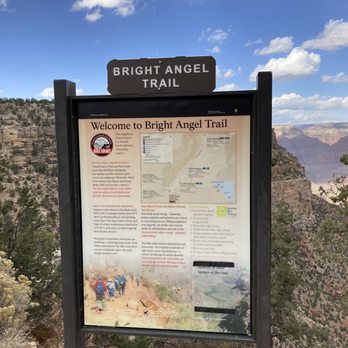

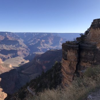
I've gotta be honest and say that this wasn't my favorite trail to hike. For one thing, I've never been a fan of hiking down and then having to come back up. But hey, if that's your thing and you're up for the challenge, then do you boo! Another thing is, this trail is super crowded so you better be prepared to hike with tons of other people. This is one if not the most heavily trafficked trail within Grand Canyon National Park. You basically hike all of the way down into the canyon and then all the way back up. Well, that's if you WANT to hike all the way down there. It's 9.5 miles one way down into the canyon with a 4,380 elevation drop, meaning that you'll have to climb that back up to get to the top again. I guess this trail is so appealing to people because it presents a challenge. And I get it, but that challenge is just not for yours truly. Most people hike all the way down, camp in the canyon or stay at Phantom Ranch, and then hike back up the next day. And then there are those who do the entire thing in one day. Kudos to you all because I am not on that level. What I will say is that the view from inside of the canyon as you hike down is pretty damn amazing. But after a while, it all kind of starts to look the same. This trail really brought a whole new meaning to the definition of "canyon" for me. I've hiked many different canyons, but none like this one. The wildlife is rampant on this trail too! I actually saw two deer on the trail. One was a baby deer who couldn't quite catch his footing while he was blazing up the canyon. Don't worry buddy, I get it. The trail as slippery for me too. Speaking of the trail, it's basically just a ton of switchbacks that go all the way to the bottom of the canyon. It actually looks pretty cool when you're looking at it for the Rim Trail and it's amazing to see people all the way at the bottom. They look like little ants! I should also mention the change in weather. When I got to the park around 6:30 am, it dead 35 degrees. By the time I got to the 1.5 mile marker, it was already 70+ degrees. The deeper you go into the canyon, the hotter it will be. Make you bring lots of water because there are only a few water stations throughout the hike. Also, the squirrels are super aggressive. Watch your food and your bags because they have no problem taking your food. They seem to be used to people. There's also tons of mule pooh on the trails, so watch your step. All in all, I'm happy that I was able to hike Bright Angel, but it just wasn't my favorite and I probably wouldn't do it again. read more





3 years ago
down is definitely easier than the trek up / we didn't see any other children on the trail as it has the potential to get a little intense if you don't chose the right time to turn back around. If you have young children my husband and I recommend turning back after the second tunnel ...unless your ambitious like our little ones it was an amazing experience, we got to experience seeing the mules go up and down the trails , the most friendly squirrels, and friendly folks trailing along with us! for sure our new family annual go-to place read more
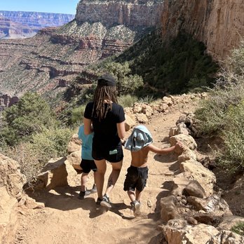

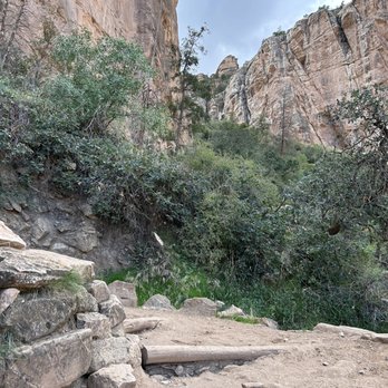
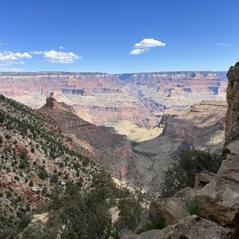

The trail winds to keep it interesting and offer different views of the canyon. In March, at the time of this writing there were icy patches toward the start of the trail. This is a popular trail since it is close to all the lodges. It leads to some congestion when the path isn't prime. In addition, the 1.5 mile rest station was closed so check ahead. I was glad I brought extra water even though the ranger at the entrance said it would be available. read more



3 years ago
Finished the Rim to River to Rim hike with the Team from South Rim Kaibab Trail to Phantom Ranch to Bright Angel. This is an arduous hike, but with a team, you realize you can really get motivated and achieve more than what you think you are capable of. Amazing views and experiences. Memories for a lifetime! read more




6 years ago
This trail was one of the greatest memories of 2020. We came back up the Bright Angel Trail and went down on the South Kaibab trail. The second you pull up to the rim, your emotions go through the roof. This was a bucket lister and was very glad we got to do it, especially with everything going on this year. The hike definitely isn't for the faint of heart. We back packed down into the canyon, so we had about 60 lbs on our back. If you look at the pictures you can see that there is quite a bit of snow this time of year, so you need the correct equipment. (Shoes, clothes, poles, Yak Tracks, etc.) You should also physically prepare for this hike. If you go to the bottom, you need to be in good shapes and ready for a challenge. The bright Angel trail really shows the beauty of the Grand Canyon and gives you some spectacular vantage points of the park. Plan to stay at the bottom for at least a night because they have an awesome cantina down there. You will hear great stories and make some memories here! read more


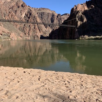


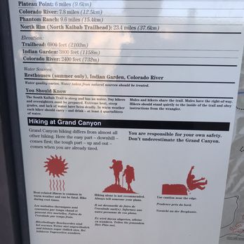
5 Stars for a trail that gave me and my friends life. (Plus some heavy breathing, profuse sweating, and convulsing muscles... it was srsly so sexy, guys.) After starting the day off with sunrise at Yaki Point, I thought that everything else at the Grand Canyon was going to be "meh" in comparison to the absolute insanity of watching sunlight slowly washing over the red and purple cliffs that morning. I'm glad to say I was wrong and this hike wasn't the "cool story, bro." experience I was predicting, but instead was ALL of the "YAAAAAS KWEEEEEEEN"s you could imagine. We started at Bright Angel Trail heading down into the canyon. Right near the trailhead the park rangers have set up a bizarrely harrowing (see: grotesque) sign reminding you to know your level of athleticism and to hydrate. The sign is an oddly life-like drawing of a man on all fours vomiting his guts out on the trail. Soooo, yeah... We were warned. (I pray to GOD someone got a pic of this sign and posts it to Yelp.) We opted to take the 1.5 mile hike down and turn back to finish out a good 3 miles (other options include 3 miles down and back up, and other options my mind wouldn't even allow me to comprehend because they were so beyond my ability). So, three miles. Seemed light and simple enough. *LIES* That bish was FIIIIIRE (in my thighs). The trail was nice and wide, with only a few moments that felt a bit narrow for passing (no rails here, folks!). It was also nice to see how many people were hiking the trail. Though we had some time walking on our own, it was great to pass other hikers (including kids!) and chuckle while nodding knowingly about our shared burning thigh experiences. Except that one dude that passed us like three times because he was literally sprinting down and up and down again... Screw that guy... One thing to note is that you should definitely bring tons of water and snacks and don't be afraid to take breaks when you feel dizzy. It is crazy how tough it can be to descend and ascend such altitudes in one hike. Plus, you are literally in one of the most beautiful natural sites in the world so periodic stops to slow your heart while gazing out to the incredible vistas is not so much a suggestion as an absolute must. And now, I'd like to finish this review with an apt quote: "Because in the end, you won't remember the time you spent working in the office or mowing your lawn. Climb that goddamn mountain." ― Jack Kerouac read more


7 years ago
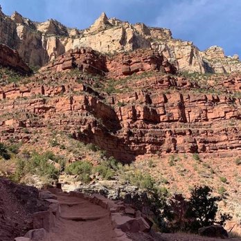
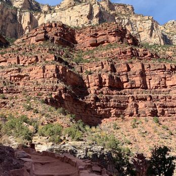
The Bright Angel Trail is one of the more heavily trafficked trails on the South Rim due to its location, the fact that it's a wider path and well maintained and just an overall beautiful hiking spot. Located right behind the Bright Angel lodge and near Kolb Studios, there is some parking to be had nearby but also has the Blue Shuttle stop just a short walk away. Arriving early to the trail during the fall (slower tourist season) and on a weekday, I easily found parking. Can't vouch for other times of the year or weekends but I read it gets crowded. Do your research and know your hiking abilities in advance. This is a tough trail. As an avid hiker I've done some tough hikes, including the uphill return hike out of the crater on Haleakala in Maui (where you're up 10,000 feet heading down to 7000 ft and back up again.) I found this ascent to be tougher! There are a few key turn around points at 1.5, 3 and 4.5 miles. At the 1.5 and 3 mile points there is a rest house and pit toilets at each. That provides shade and a bathroom break should you need it. It's not advised to go further than Indian Gardens (the 4.5 mile stop) for a day hike. Since I only had 1 full day in the Grand Canyon, I choose to turn around at the 3 mile rest house. That still gets you far enough in to the canyon to get a sense of the immensity and beauty that you can't see from the rim. The trail is a combo of rocky and sandy, stairs and switchbacks and sections that have steep inclines and declines. You will likely run in to mule trains (give them the right of way and stay to the canyon wall.) I got to see one and it was actually pretty cool. The 6 miles ended up taking me about 4 1/2 hours including stopping at the two rest areas and some pauses on the ascent. I brought about 3 liters of water which was sufficient. Going any further you'd definitely want more. During the summer months the rest stops have water. When I went in October, the 1.5 mile rest house didn't have any water but the 3 mile one did. Rangers do patrol the trail and check in on hikers but don't count on them to be there when you need someone and are in trouble. It's a manageable trail if you've got moderate hiking skills but it does kick your butt regardless. I also lucked out on my hike in that most of it ended up being in the shade-I've read other hikers recount of a grueling hike back up in blazing sun. Other tips-hiking poles help (I didn't have any but wish I did-the climb down was harder on my knees than the way up), rest often when you need it and don't be ashamed to turn back if you feel you've hit your limits. Finally, wear layers, a hat, sunscreen and preferably hiking boots that go up to your ankles-you'll definitely need that support. Enjoy and be safe! read more





4 years ago
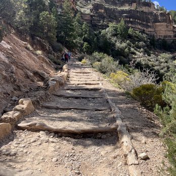
I have to start this review by saying we only hiked a very short part of this trail - but we really enjoyed it! We hiked in mid- September and the weather was absolutely beautiful. Started around 10am. There was a good amount of people but I didn't feel that it was too crowded. We didn't see any mules during our hike, but we could tell they had recently gone down. The downhill hike was super easy, but going up was very hard. Views were amazing. Would definitely do a little bit of this hike again! read more



6 years ago
This is NOT for the faint of heart! Be very careful if hiking during the summer months! Even if you only do part of the trail you still need to keep in mind the hug elevation change and avoid elevation sickness and dehydration. My husband and I did the 9 mile out and back trail to Indian River and it was killer! Seriously. It was so hard. We definitely could've trained better but I will say it was still worth it all! We got some phenomenal photos and the river was so beautiful and soothing! We dipped our toes before beginning the ascent back to our car. Worth the trip but definitely be very well prepared and train beforehand read more
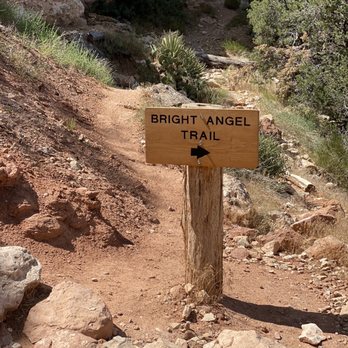


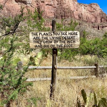

Not my favorite trail because it's over crowded with tourists that don't follow trail etiquette and move out of the way for uphill hikers. Pretty easy/moderate trail. I've hiked out this trail after R2R2R and rim to river to rim. I prefer SK trail over this one. The sunrise from 3 mile resthouse is beautiful though. I'm an avid hiker/ultrarunner. The top portion is very rocky and icy for the first 3 miles in the winter. Decent to hike up. Today I came from Tonto West and easily made it through Indian gardens and to the top in a little over an hour and didn't need rest breaks. A lot of reviews of this trail are tourists who clearly don't hike often. It was not that difficult. I've gone down and up many times. If you are familiar with elevation & the distance and trained for the canyon, it won't be bad. read more


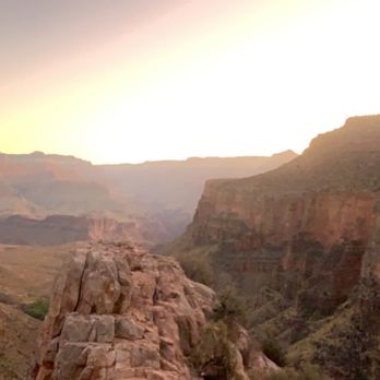


As a hiker, watch out for those mules! Go slowly, rest often, stay cool. Plan your hike before you start, and don't hike until you reach the river all in one day!! (Especially May through September). We hiked in early February, so there was quite a bit of snow and very much icy. We were soooo sad when we saw a poster board of a missing man gone since December. Good news is he's been found alive in March of this year. Apparently, over 250 people are rescued from the canyon each year, including in trails such as Bright Angel and the South Kaibab Trail. Yes, this park is massive in its wonders and also terrifying at the possibilities of injury/death, all at the same time. The Bright Angel Trail offers wonderful views all along the trail making it very easy to lose track of how far down you have hiked. Additionally, the steepness of the trail is very misleading on the way down. Plan on taking twice as long to hike up as it took to hike down! We packed some Cliff Bars and plenty of water, and passed along some of the cutest mules ever!! Their butts were in our faces, but we were able to pass firmly and to safety. I wonder how much those tours cost? The first loop is fairly easy; Not too steep, good to experience a view from within the canyon. There is a gorgeous lodge in the very top of the Bright Angel trail where you can stay. There is gift shops and a panorama view as well. The Verkamp's Visitor Center was unfortunately closed when we were there in February. They had accessible bathrooms in the back of Verkamp's center, which was helpful. read more

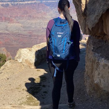




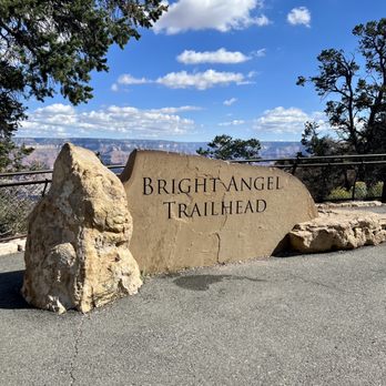
I cannot say enough positive things about our visit to Bright Angel Trailhead at the Grand Canyon National Park. First off, I should mention that we went in February of 2022, and as you know at that time most of the tourists are gone. As you will see, we had the trailhead, and park nearly to ourselves. When we arrived at about 10:30 a.m., it was in the low 30s. But, by noon it was in the upper 40s, and by 1:30 when we left it was in the low 50's. As you can see the sky was perfectly blue and there was no wind. We are both in our late 60s, and had no difficulty walking down quite a distance on the trail and into the canyon before we turned around and headed back. Don't miss this awesome attraction of natural beauty. If you have the opportunity to visit this beautiful park and the Bright Angel Trailhead as we did, try to visit in the off season, as you will find it much more pleasant for you. read more


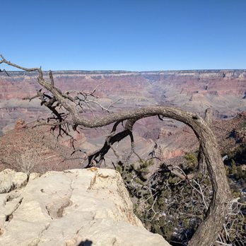


This is a luring hiking trail with its trailhead just behind the Bright Angel Lodge with great vistas into the Grand Canyon, only made treacherous by the ice scattered along its path during winter months, slowly melting during the day and refreezing by the night. Watch your footing and avoid the ice and the Burro droppings as you descend unto its winding path. My husband and I hiked for approximately 1.5 miles down the path to where the dirt turned from brown to red. We started the hike around 3:30 pm and decided to turn around at this point, which we reached leisurely by 5 pm. The full trek down is just over 7 miles according the literature. Remember, what goes down must come up...the further you venture down the canyon, as it draws you in by its ever changing scenery, skipping down the path aided by gravity...just realized the trek back up the path will double you over and leaving you gasping for air. We were, haha. (this entry was written by my husband) read more


3/9. We wanted to do a short hike before we head home to CA. Information is clearly post n what u need to do on the hike 3 miles RT, 1120 ft. elevation 2-4 hours 6 miles RT , 2120 ft elevation 4-6 hours 9 miles RT..3040 ft elevation, 6-9 hours We just did 3 miles only.. We don't want to be too tired to drive back home. 1 1/2 miles all downhill. .. Nice view of canyon. Most part is shade. Watch out for mule poops.. Return is a little tough but I finished less than 2 hours since I hike pretty often. New shoes not recommend on this trail. Area is new n clean.. especially the bathroom.. See the pics to give u better idea how is the trail. Picture worth thousand words.. read more
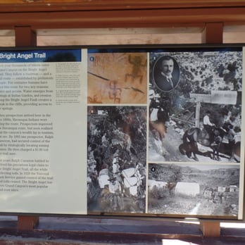


I recently did this hike with family members to celebrate my birthday. And them, not being regular hikers and having my little nieces and nephew on the hike was something to be mindful this time. I've previously had done this hike and so I had some experience. We had plan on doing a day hike and not a strenuous one. So we decided on with the mile-and-a-half rest house trek. There are two rest house before arriving the campground, each 1 1/2 mile from each other. The trail had droppings from the mules that carry people/packs from the top of the trail to the bottom of Indian garden. As many have suggested, it's best to go before 3-4 am if you are to trek down to the campground or further. The first time I went hiking here was when it actually had stormed. It's best to be prepared if you're going to be camping to bring a rain jacket. As it does get really rainy when the clouds are close to the trails. My family enjoyed the hike and the views. Not to mention, the photo-ops and memories with the little kids. Things to wear for the hike: hiking boots, pants(able to unzip to shorts), compression socks, sunscreen, sunglasses, hat Things to bring for the hike: water, camera, protein bar/energy food/snacks, phone, backpack, emergency kit read more


5 years ago
CHECK THE WEATHER AND NOT FOR SMALL CHILDREN THAT WONT STAY NEXT TO YOU. My husband and I are both ultra runners and we did this when there was ice and snow on the ground and it was not that easy just because of the ice. Really amazing views and worth it if you get up early enough and take the time to do it. read more


11 years ago
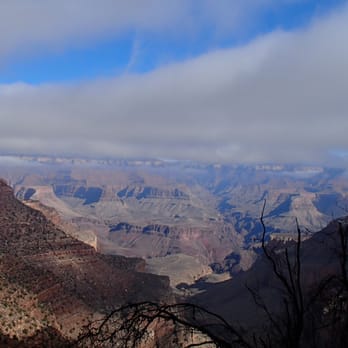
Our family took their first trip via train to the Grand Canyon over the Thanksgiving holiday. After a good night's rest, we decided to take a day hike and we chose the Bright Angel Trail. Depending how far of a distance you'd like to go, the trail is rated easy to very difficult. We were limited on time (we had a scheduled departure on the train), but 2 fit teenagers with us. The entire trail is 12 miles, so we decided see how far we could make it and to allot more time on the hike back to ensure we made our train. The weather was sunny, yet very cool when we started. The November weather is fantastic for a hike; I imagine this would be tough in the July heat. Trail is downhill heading into the canyon. Remember, when coming back you'll be going uphill. Trail is well-maintained. The views are SPECTACULAR and any discomfort is made worth it for these views. In addition, there's plenty of markers: 1st tunnel .2 miles-Elevation change 60 ft 2nd tunnel .85 mile- Elevation change 590 ft Resthouse 1.5 miles-Elevation change 1,120 ft (water, bathroom) Resthouse 3 miles-Elevation change 2,120 ft (water, bathroom) Indian Garden 4.5 miles-Elevation change 3,040 ft (water, bathroom) Plateau Point 6 miles-Elevation change 3,080 ft (water) In all, we hiked about 8 miles. (We ended up going uphill faster than downhill because our daughter was way more fit than us, pushing the pace.) We found that the further we went, the fewer people there were (which can be annoying near the top). As a bonus, I bumped into a former colleague of mine on the trail. Seriously. That was an amazing moment. We plan to go back. Tips: We fueled up on a good breakfast before departure Filled each of our packs with water Good shoes Snacks Layers of clothing (it started very cold and warmed quickly) read more


14 years ago
OooooooooooooooOOOooooooooooooooooo!!! My favorite trail on the South Rim hands down!!! The amazing photo ops are endless and we were lucky to go during off season to enjoy the lovely snow and not die of heat! My group hiked almost 12 miles and had a blast!!! Next time I'm going all the way down!!! If you are visiting Grand Canyon and staying on the South Rim you must hike the Bright Angel Trail!!! The views are so worth it! read more


5 years ago
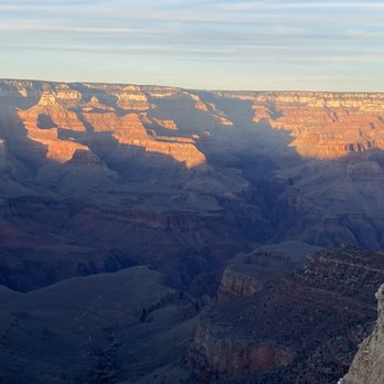
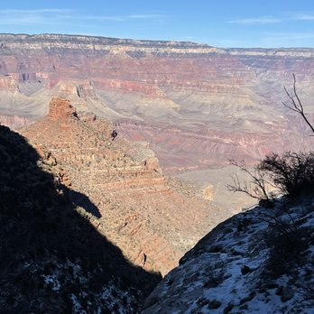
Words cannot describe the beauty of this place. Nothing like the Grand Canyon on Earth. Walking times are limited because you want to stop every 90 seconds and take more pictures of the breath taking scenery. There was lots of snow/ice on the trail, and while everyone was warning us to be careful, it was still super easy to navigate our way down. Paths were wide and everyone was more friendly that I could imagine. We went down about 2 plus miles to the "Bathroom" Cabin and turned around because we were limited on time. Can't wait to get back here and do it again! Do it. You won't regret it. read more





8 years ago
We completed this trail back in November 2018. We hiked from the trail head to the bottom aka the Colorado River in one day, which is not recommended (especially in summer - there are signs for this) but we are avid hikers so we decided to take the challenge. Details Began: 6am Finished: 2pm Miles: 18 roundtrip The thing to keep in mind with this hike (and other reviews have mentioned this) is that you are walking downhill first and then uphill. The trip down is great. The scenery is beautiful, especially in fall/winter, and once you get past the campground, there is very few people on the trail. Once you get to the bottom, it's gorgeous and makes for a great photo op. As for the trip back, we made it to the campground pretty quickly. But the last few miles from the campground to the trailhead felt extremely long. By that time, we really felt all 18 miles. All in all, one of the best hikes we've ever done. I wouldn't recommend going all the way down to the river and back in one day unless you are prepared for 18 miles. Time is of the essence because the sun goes down so quickly in the fall/winter. FYI we didn't use hiking sticks. The incline to us wasn't that steep where we felt it was necessary. Just hiking boots, a few snacks, and some water. And of course, your camera! read more


9 years ago


9 years ago
Walking is easier then talking. Or reading. Or understanding. True for toddlers and unfortunately still true for adults. It is amazing how many people "take a walk" down this trail completely unprepared. Chicks in platform sandals. Families with no F'ing water bottles. College dudes who think they are tough and rules don't apply to them. Listen, you do not have to be a bad ass to walk this trail. You just need to be prepared. Walking shoes. Plenty of water. Salty snacks. Sunscreen and a hat. The experience of walking down into the Canyon is amazing. The view is ever changing. And it's always better to do rather than just see a place. We walked down 3 miles, and then back up. People seem to forget the salty snack part. You are sweating without sweating in the summer heat. The sweat is evaporating. And you are drinking plenty of water. Your body actually needs to replace all the salt you are sweating out. Luckily for the people we helped, we had a shit-ton of salty snacks and shared. BONUS TIP: Freeze your water bottles the night before. That way you'll have cold water to drink even on the way up. There is a water filling station along the way. And read the F'ing info they hand out! If it's summer, you need to be on the trail by 8 AM if you plan to go any real distance. It's get HHHHoooottt! read more

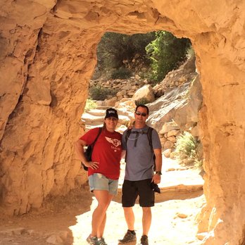


Ended up hiking the Bright Angel Trail to Indian Garden (1.5 miles past the 3 mile rest house) in late June in the extreme heat. I started just before 5am and was able to complete all 9 miles by 10am. The last few miles were very tough due to the combination of heat and elevation gain. The good news about this trail is that it's very well maintained and that water is available at several spots. I'd like to hike down to the river in the future. read more



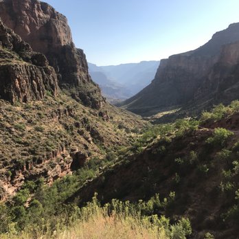


Mom and I hiked this only to the 1.5 rest house. This was a great hike and for us, who are not as physically fit, it can be a challenge. We took our time going down and back up. We spent about 1-1.5 hours going down and it took us about 3-3.5 hours to go back up. The trail offers great views and really is a must for getting a good hike into the canyon. Water is not necessarily available at the 1.5 mile rest house so be sure to take enough water. Not all water stations are available all year long. Also make sure you give yourself enough time to get back up the trail. And be sure to stop and look around. Enjoy the beauty of the surroundings and don't forget to look up to see a different view. read more


10 years ago
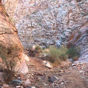
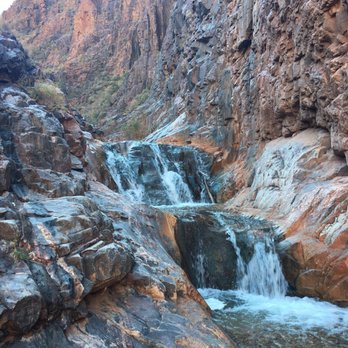
Whether a day hike, or a route down to the bottom, this trail is simply awesome. I've traveled its length from South Rim to Phantom Ranch once, and from the Ranch up to the rim twice. It's gorgeous, inspiring, challenging, delightful, grueling, and wonderful all at once. Find the trailhead at the western part of Grand Canyon Village, it's marked on every single map, so grab one of the free ones at the entrance, or just follow the signs. You'll find it. From the overlook, there are tons of great pics to be had. Probably not the most striking of all lookout points, but still amazing. This is the Grand Canyon. The trail itself is well-worn, as most are at the park. It's traveled frequently by mules. I imagine it's dusty in the summer, but I've only hiked it in winter, in which the top 1/4 or so can be wet, icy, snowy, slippery, or a combo of all those things. They recommend crampons, though I've been lucky to reach it in years or weeks when they weren't necessary. Do yourself a favor, and if you can check the conditions the day before, you'll save the weight if they're not necessary come hiking day. This trail will take you all the way to Phantom Ranch, and up the other side, if you like. It's not, however, the most popular route to go rim to rim. Most R2R people choose the South Kaibab/North Kaibab Trail combo, as it's less miles and more direct. I've hiked both of those trails and they're find and beautiful, but I actually like Bright Angel more than South Kaibab. It has the lovely Indian Garden area along the river, and the option to do Plateau Point as an add-on. More on those below. You won't be alone on the trail, but consider it as a nice alternative to the more direct routes, especially for day hikes. Day hikers with lofty goals (and the experience and proven fitness to back it up) will probably find no finer hike than the 9-mile round trip to Indian Garden. Indian Garden sits some 3,000ft down, 4.5 miles from the top. It's a beautiful spot, in a riparian corridor with shade from tall trees, and drinking water is almost always available. Be sure to check conditions at the top, and they recommend carrying a means of water purification just in case. There's a small ranger station, a campground (backcountry permit and reservation required) and a small hiker house with a lending library if you wanted to rest, rehydrate, and read. If you're REALLY in shape, consider making the extra 3 miles (round trip) spur out to Plateau Point for your first glimpse of the Colorado River from a breathtaking vantage point. From IG, it's nearly a flat hike. If you're lucky enough to have a permit, stay at Indian Garden Campground (listed separately on Yelp). No permit needed for day hikes. The trail is really broken into 4 sections in my mind. There's a rest house at 1.5 miles down, another at 3 miles, Indian Garden at 4.5, and then the final descent to the river, upstream, and across to Phantom Ranch. The first bit to Indian Garden covers around twice the elevation, but you make most of it in the first 3.5 miles. Not that the last half is easy; most of that is made in a grueling canyon of switchbacks near the river. But once you pass the 3-mile resthouse, it will let up save for that last switchback section I mentioned. Each resthouse has a restroom, but water is usually available only seasonally. Again, check ahead of time. Here's the caution: DON'T go past Indian Garden on a day hike. Summers are brutal. That's a 9-mile day, 3K feet down, and then back up. Don't push yourself that far, even, if you're struggling. There are too many rescues, and the sun only takes a matter of minutes to destroy you, necessitating days of recovery. If you can only make it .2 miles to the first tunnel, rejoice in knowing you did something almost no other humans, really, will ever get to do. More advice: Wear good shoes, and even better socks. Use hiking poles if you have bad knees or want better balance. Bring sunscreen no matter the season. Pack lots of water. Anticipate changing weather (rain, sun, cold) and wear layers appropriately. Know your limits. Tell people your plan and check in when you get back. Take lots of photos; it's not about the destination, it's about the journey. Be respectful of other hikers (no music, don't get rowdy) and wildlife. Don't feet the deer or approach them. Smile and talk to folks at the resthouse. Be very kind to rangers and other crew, they're your best friends. Bring some ibuprofen or other pain/inflammation aids. Stay on the dang trail. Stay on the dang trail. Seriously, stay on the trail. This is a beautiful trail. One of my favorites on the earth. It's special. You can feel that it's been a special place. Whether one foot or one mile or all the way down and back, you can feel that it's special too. read more




Page 1 of 4
More info about Bright Angel Trail
Grand Canyon, AZ 86023
Directions
(928) 638-7888
Call Now
Visit Website
http://www.nps.gov/grca
Hours
Indoor Amenities
Outdoor Amenities
Ask the Community - Bright Angel Trail
Review Highlights - Bright Angel Trail










Why does Yelp recommend reviews?
2 reviews that are not currently recommended
The reviews below are not factored into the business's overall star rating.

10 years ago

14 years ago
Bright Angel Trail - hiking - Updated September 2026
Best of Grand Canyon
People found Bright Angel Trail by searching for…
Things to Do in Grand Canyon, AZ
Campgrounds in Grand Canyon, AZ
Picnic Areas in Grand Canyon, AZ
Attractions in Grand Canyon, AZ
Swimming Holes in Grand Canyon, AZ
Playgrounds in Grand Canyon, AZ
Visitor Centers in Grand Canyon, AZ
Parks for Kids in Grand Canyon, AZ
Sunset View in Grand Canyon, AZ
Fishing Spots in Grand Canyon, AZ
Sand Dunes in Grand Canyon, AZ
Watch Sunset in Grand Canyon, AZ
Scenic Night View in Grand Canyon, AZ
Restaurants With a View in Grand Canyon, AZ
Waterfalls in Grand Canyon, AZ
Stargazing in Grand Canyon, AZ
Sunrise View in Grand Canyon, AZ
Off Road Trails in Grand Canyon, AZ
Browse Nearby
BEST of Grand Canyon, Arizona Parks near Bright Angel Trail
BEST of Grand Canyon, Arizona Coffee near Bright Angel Trail
BEST of Grand Canyon, Arizona Restaurants near Bright Angel Trail
BEST of Grand Canyon, Arizona Things to Do near Bright Angel Trail
BEST of Grand Canyon, Arizona Swimming Holes near Bright Angel Trail
BEST of Grand Canyon, Arizona Breakfast near Bright Angel Trail
BEST of Grand Canyon, Arizona Visitor Centers near Bright Angel Trail
BEST of Grand Canyon, Arizona Campgrounds near Bright Angel Trail
BEST of Grand Canyon, Arizona Glamping near Bright Angel Trail


