Clevenger Canyon North Trail Photos


You might also consider


More like Clevenger Canyon North Trail
Recommended Reviews - Clevenger Canyon North Trail
Start your review...


Reviews With Photos


Enjoyable easy hike. The full name on my All Trails app is Clevenger Canyon-San Pascual North Trail. It's about 4 miles out and back with some decent elevation gain. Good sized dirt parking lot with a clear trailhead sign right off of San Pascual Valley Road. A small creek runs through the very beginning in the valley before you start climbing. A word of caution-- there were unavoidable large amounts of broken glass right at the beginning of the trail near the stairs and graffitied boulders you walk under. We had to carry our dogs about 20 feet to get past it. The trail itself climbs at a nice pace, has some rocky areas, and is mostly maintained, with just a bit of brushy overgrown areas towards the top. It is more beautiful the higher you climb, and there are plenty of flat rocks at the top to relax on. I probably won't frequent this particular hike simply because of the graffiti and glass, but it's definitely worth checking out once if you're in the Ramona area.


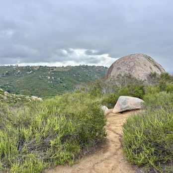
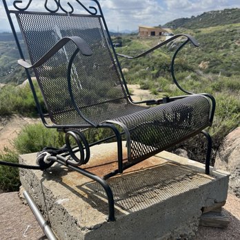
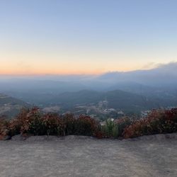
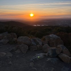
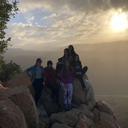
Great workout! The trail is easy to follow. The growth on the lower part of the trail is a bit out of control from all the rain. Walking sticks help to push the pesky weeds out of the way. There are parts of the trail that is washed out in the middle so watch your step. Keep left at the forks to stay on the main trail which will eventually pass a pair of chairs mounted atop a big boulder near the end of the trail. Round trip is about 4.5 miles with an elevation gain around 1000 ft. The view from the top is pretty awesome! The staircase up to the chairs is not there anymore, but with some minor bouldering skills, you can easy get up there. There is still evidence of the last fire, but the underbrush is starting to fill in.


Simply put, the Clevenger Canyon North Trail is fun. I've been on the SOUTH trail ( across the street) and that was okay, but this was the better of the two as far as I'm concern. I like thin trails that skirt precariously along the side of a mountain or cliff. This had a few of those sections. The family loved the trail hazards ( eroded areas in the path that you had to jump over to continue forward). Along the way there are some amazing views of the Canyon for most of the way up including a very windy section about 3/4 to the top. The "there and back" mileage is about 4.5 miles. Kid Friendly? This can be a fun trail for kids if they've hiked before. It's not an easy flat trail, it's a workout. The pitfalls can be jumped by most kids. I had one as young as 5 but I ended up doing a lot of carrying on the shoulders. 7 and above were okay. - Graffiti everywhere. Tip - If you have to chose one hike ( North Vs South ) I would say do the North hike. The South does have two cool metal seats at the top, but the actual hike is better on the North. - They lock this parking lot permanently. You'll have to park on the side of the road.
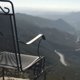

Great trail. Keep on the trail to get to the chairs (there are a few forks, stay left). Totally worth it and so relaxing. We saw 4 other people during our hike, very lightly trafficked. The trail is well maintained.


1 year ago
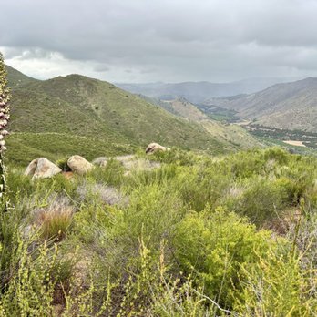
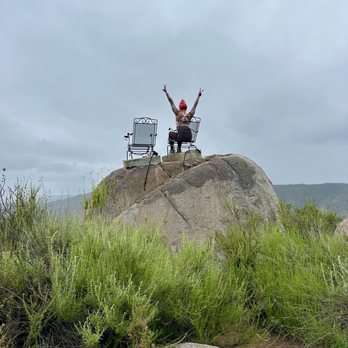
This was a fantastic hike! I went on a Sunday afternoon around 4 PM. The trail was 4.7 miles and took just under two hours to complete. It's mostly uphill, and since the trail markers are no longer in place, I used my Apple Watch to track the distance. At the very end, there's a fun challenge -- two chairs with ropes attached that you can use to pull yourself up. It's a unique touch that makes for great photos, especially with the stunning view at the top. We only came across one hiking group and two solo hikers, so it was very quiet -- possibly due to the overcast weather and occasional drizzle. There was plenty of parking available at the trailhead. Overall, it was a quick, scenic, and enjoyable hike. read more




1 year ago
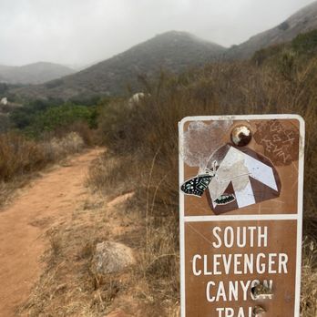
Only reason for 1 star to have greater visibility. South Trail 09/14/2025 7:45am Less than a mile into the tail, where the stream is, we heard a loud mountain lion growl. I think we were close to it because of how near it sounded. We immediately turned back around and made it to the car safely. We noticed quite a few poops (all but one fresh looking) on the trail and not following our instinct decided to ignore. Lesson learned: know how mountain lion poop looks like & don't ignore your gut! read more

2 years ago
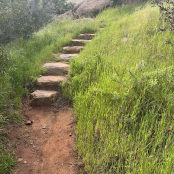
Did the south trail, about 2.5 miles uphill then an easy 2.5 down. Met a gentlemen named Tim on the trail maintaining and cleaning up. If your reading this god bless you sir, thank you for keeping up this beautiful hiking area. read more



5 years ago
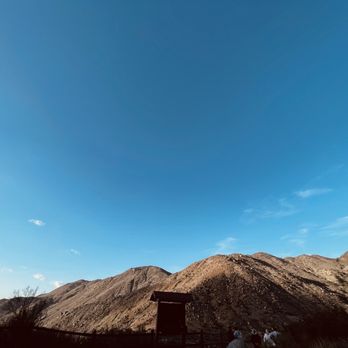
Enjoyable easy hike. The full name on my All Trails app is Clevenger Canyon-San Pascual North Trail. It's about 4 miles out and back with some decent elevation gain. Good sized dirt parking lot with a clear trailhead sign right off of San Pascual Valley Road. A small creek runs through the very beginning in the valley before you start climbing. A word of caution-- there were unavoidable large amounts of broken glass right at the beginning of the trail near the stairs and graffitied boulders you walk under. We had to carry our dogs about 20 feet to get past it. The trail itself climbs at a nice pace, has some rocky areas, and is mostly maintained, with just a bit of brushy overgrown areas towards the top. It is more beautiful the higher you climb, and there are plenty of flat rocks at the top to relax on. I probably won't frequent this particular hike simply because of the graffiti and glass, but it's definitely worth checking out once if you're in the Ramona area. read more




Great workout! The trail is easy to follow. The growth on the lower part of the trail is a bit out of control from all the rain. Walking sticks help to push the pesky weeds out of the way. There are parts of the trail that is washed out in the middle so watch your step. Keep left at the forks to stay on the main trail which will eventually pass a pair of chairs mounted atop a big boulder near the end of the trail. Round trip is about 4.5 miles with an elevation gain around 1000 ft. The view from the top is pretty awesome! The staircase up to the chairs is not there anymore, but with some minor bouldering skills, you can easy get up there. There is still evidence of the last fire, but the underbrush is starting to fill in. read more

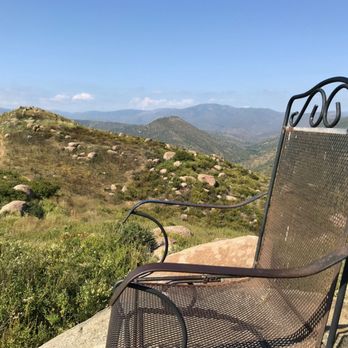


Simply put, the Clevenger Canyon North Trail is fun. I've been on the SOUTH trail ( across the street) and that was okay, but this was the better of the two as far as I'm concern. I like thin trails that skirt precariously along the side of a mountain or cliff. This had a few of those sections. The family loved the trail hazards ( eroded areas in the path that you had to jump over to continue forward). Along the way there are some amazing views of the Canyon for most of the way up including a very windy section about 3/4 to the top. The "there and back" mileage is about 4.5 miles. Kid Friendly? This can be a fun trail for kids if they've hiked before. It's not an easy flat trail, it's a workout. The pitfalls can be jumped by most kids. I had one as young as 5 but I ended up doing a lot of carrying on the shoulders. 7 and above were okay. - Graffiti everywhere. Tip - If you have to chose one hike ( North Vs South ) I would say do the North hike. The South does have two cool metal seats at the top, but the actual hike is better on the North. - They lock this parking lot permanently. You'll have to park on the side of the road. read more


8 years ago
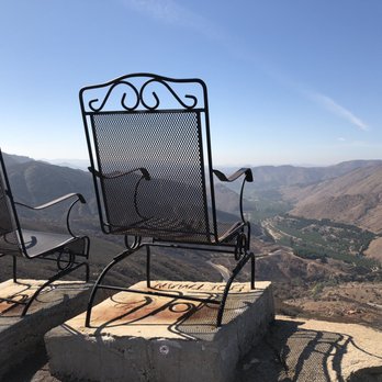
Great trail. Keep on the trail to get to the chairs (there are a few forks, stay left). Totally worth it and so relaxing. We saw 4 other people during our hike, very lightly trafficked. The trail is well maintained. read more




8 years ago
More info about Clevenger Canyon North Trail
San Pasqual Valley Rd
Escondido, CA 92025
Directions
Visit Website
https://www.sandiego.gov
Hours
Outdoor Amenities
Ask the Community - Clevenger Canyon North Trail
You might also consider








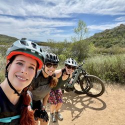
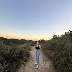
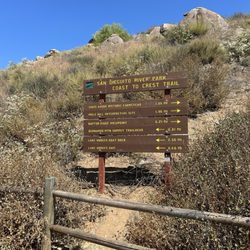


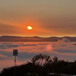





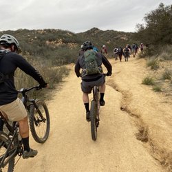



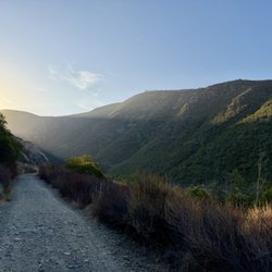


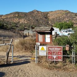


Clevenger Canyon North Trail - hiking - Updated September 2026
Best of Escondido
People found Clevenger Canyon North Trail by searching for…
Beautiful Views in Escondido, CA
Hiking Trails in Escondido, CA
Orange Groves in Escondido, CA
Off Road Trails in Escondido, CA
Fun Things to Do in Escondido, CA
Stairs Workout in Escondido, CA
Dog Friendly Hiking Trails in Escondido, CA
River Swimming in Escondido, CA
Stair Climbing in Escondido, CA
Running Tracks Open to the Public in Escondido, CA
Running Track in Escondido, CA
Walking Trails in Escondido, CA
Waterfall Hike in Escondido, CA
Swimming Lakes in Escondido, CA
Trending Searches in Escondido, CA
Antiques near Clevenger Canyon North Trail
Apple Orchards near Clevenger Canyon North Trail
Apple Picking near Clevenger Canyon North Trail
Barbershop near Clevenger Canyon North Trail
Bike Shop near Clevenger Canyon North Trail
Casinos near Clevenger Canyon North Trail
Cliff Jumping near Clevenger Canyon North Trail
Consignment Shops near Clevenger Canyon North Trail
Cruising Spots near Clevenger Canyon North Trail
Dog Friendly Things To Do near Clevenger Canyon North Trail
Estheticians near Clevenger Canyon North Trail
Eyebrow Threading near Clevenger Canyon North Trail
Eyelash Extensions near Clevenger Canyon North Trail
Furniture Stores near Clevenger Canyon North Trail
Hiking near Clevenger Canyon North Trail
Kids Birthday Party near Clevenger Canyon North Trail
Makeup Artists near Clevenger Canyon North Trail
Mattresses near Clevenger Canyon North Trail
Outdoor Activities near Clevenger Canyon North Trail
Parks near Clevenger Canyon North Trail
Picnic Areas near Clevenger Canyon North Trail
Playgrounds near Clevenger Canyon North Trail
Public Running Track near Clevenger Canyon North Trail
Public Shower near Clevenger Canyon North Trail
Public Tennis Courts near Clevenger Canyon North Trail
River Swimming near Clevenger Canyon North Trail
Rock Quarry near Clevenger Canyon North Trail
Scenic Overlook near Clevenger Canyon North Trail
Star Gazing near Clevenger Canyon North Trail
Sunrise View near Clevenger Canyon North Trail
Trading Card Shops near Clevenger Canyon North Trail
Volleyball Courts near Clevenger Canyon North Trail
Browse Nearby
BEST of Escondido, California Restaurants near Clevenger Canyon North Trail
BEST of Escondido, California Coffee near Clevenger Canyon North Trail
BEST of Escondido, California Breakfast near Clevenger Canyon North Trail
BEST of Escondido, California Wineries near Clevenger Canyon North Trail
BEST of Escondido, California Thrift Stores near Clevenger Canyon North Trail
Browse Brands
Related Searches in Escondido, CA
Affordable Kayak Rental Services in Escondido, California
Best Dog Hiking Trails Around Escondido, California
Best Fishing Locations and Guides in Escondido, California
Best Nature Trails for Hiking in Escondido, California
Best Off Leash Dog Parks in Escondido, California
Best Parks for Parties and Events in Escondido, California
Best Places for Horseback Riding in Escondido, California
Best Sightseeing Experiences Available in Escondido, California
Best Water Parks for Kids in Escondido, California
Check Out Great Playgrounds in Escondido, California
Check Out Off Road Trails in Escondido, California
Discover Baseball Fields Around Escondido, California
Discover Dog Friendly Trails to Explore in Escondido, California
Discover Easy Hiking Trails Near Escondido, California
Discover Fun Toddler Parks in Escondido, California for Your Little One
Discover Kid Friendly Hiking Trails in Escondido, California
Discover Lakes & Ponds to Explore in Escondido, California
Discover Popular Bike Trails in Escondido, California
Discover Soccer Fields in Escondido, California Near You
Discover Top Nature Parks to Visit in Escondido, California
Discover Top State Parks to Visit in Escondido, California
Discover Walking Parks in Escondido, California Near You
Discover a Hiking Trail in Escondido, California
Discover the Best Beaches in Escondido, California
Discover the Best Kids Park Spots in Escondido, California
Discover the Best Night Hike Trails in Escondido, California
Dog-Friendly Hikes With Dogs in Escondido, California
Enjoy Camping Adventures Around Escondido, California
Enjoy Kayaking Adventures in Escondido, California
Enjoy Off Leash Dog Hikes in Escondido, California
Enjoy Scenic Places to Walk in Escondido, California
Enjoy Tent Camping Spots Around Escondido, California
Enjoy a Beautiful Waterfall Hike in Escondido, California
Enjoy the Best Picnic Spots and Ideas in Escondido, California
Enjoy the Best Walking Path in Escondido, California
Enjoy the Best Walking Trails in Escondido, California
Explore Beautiful Parks and Green Spaces in Escondido, California
Explore Easy Hikes Perfect for All in Escondido, California
Explore Free Picnic Areas Around Escondido, California
Explore Fun Activities to Do in Escondido, California
Explore Parks With Pull Up Bars in Escondido, California
Explore Picnic Parks Near Escondido, California
Explore Popular Campgrounds Near Escondido, California
Explore Popular Dog Walking Trails in Escondido, California
Explore Popular Kids Parks Throughout Escondido, California
Explore Popular Picnic Areas Around Escondido, California
Explore Popular RV Parks Around Escondido, California


