Before our visit to Martha's Vineyard, I did a little research on-line to determine what is worth doing during our 4-day stay. Hiking and biking are our main activities, with possibly a day of kayaking thrown in. I decided that one day of hiking would consist of hiking both the Great Rock Bight and the Menemsha Hills Reservation. I wish I had put as much time and effort into researching HOW to do the hikes as I did in selecting which hikes to do, as these trails are not so easy to find.
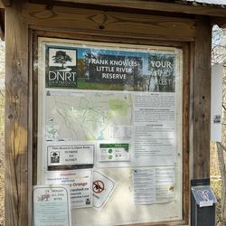
We asked at our hotel (Pequot) for maps of hiking trails and found that they didn't have any. I drove west on N Road assuming that there would be signs for these popular hiking trails, but there were none. We made it all the way to the Menemsha Beach and parked. As we knew that the hiking trail ends at the beach, we figured it would be just as nice of a hike to start at the beach and end on the hilltop. There is a Texaco Station across the road from the end of the hiking trail and I asked them for a trail map. Can you believe not only did they not have maps, they didn't know about the hiking trail or so they said.
So we winged it and began hiking from the statue of the man spearing a swordfish across the marsh and up the hill until we somehow lost the unmarked trail. We eventually came out to N Road and asked several people until we finally got lucky and asked a local on a bicycle. He directed us to take Prospect Hill Road saying it leads to the hill and the trail to the beach. We never would have guessed because of the signs that said "private property" and "no trespassing". Apparently the locals want to discourage the tourists enjoyment of this natural beauty.
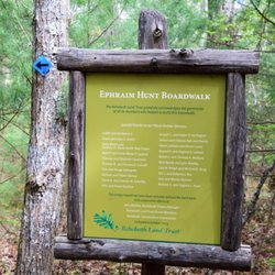
Once on this road we never saw any signs in English for trails, but we did see one tree that had a series of trail markers, which were useless without a map showing the key. We hiked all the way to Gosnold's Way as far as we could go. We saw some trails meandering here or there off the road, but none seemed to call to us, "this must be it". So we turned back toward N Road. Less than a quarter of a mile before we reached N Road, we noticed a steep incline on our right leading to a hilltop. It turned out to be Prospect Hill which is one of the highlights of this trail. We had unwittingly hiked miles past it. There were no signs, just one lonely bench at the summit. We rest there an hour or so and then retraced our steps back to the beach.
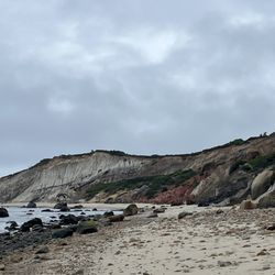
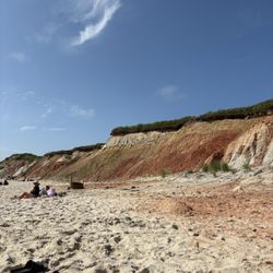
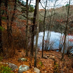
As for beauty, the place is excellent. But the only signs are to discourage rather than help hikers. Plus I don't recall seeing anyplace on Prospect Hill Road or Gosnold's Way you can park. If you do this hike I strongly advise you to do your homework. read more