Mirror Lake Scenic Byway Photos


You might also consider


More like Mirror Lake Scenic Byway
Recommended Reviews - Mirror Lake Scenic Byway
Start your review...


Reviews With Photos


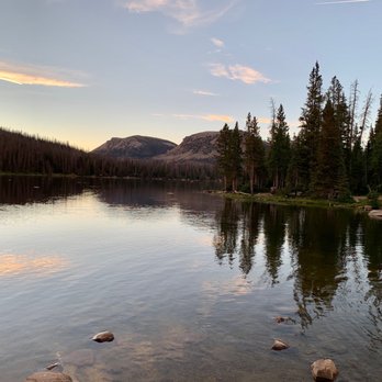
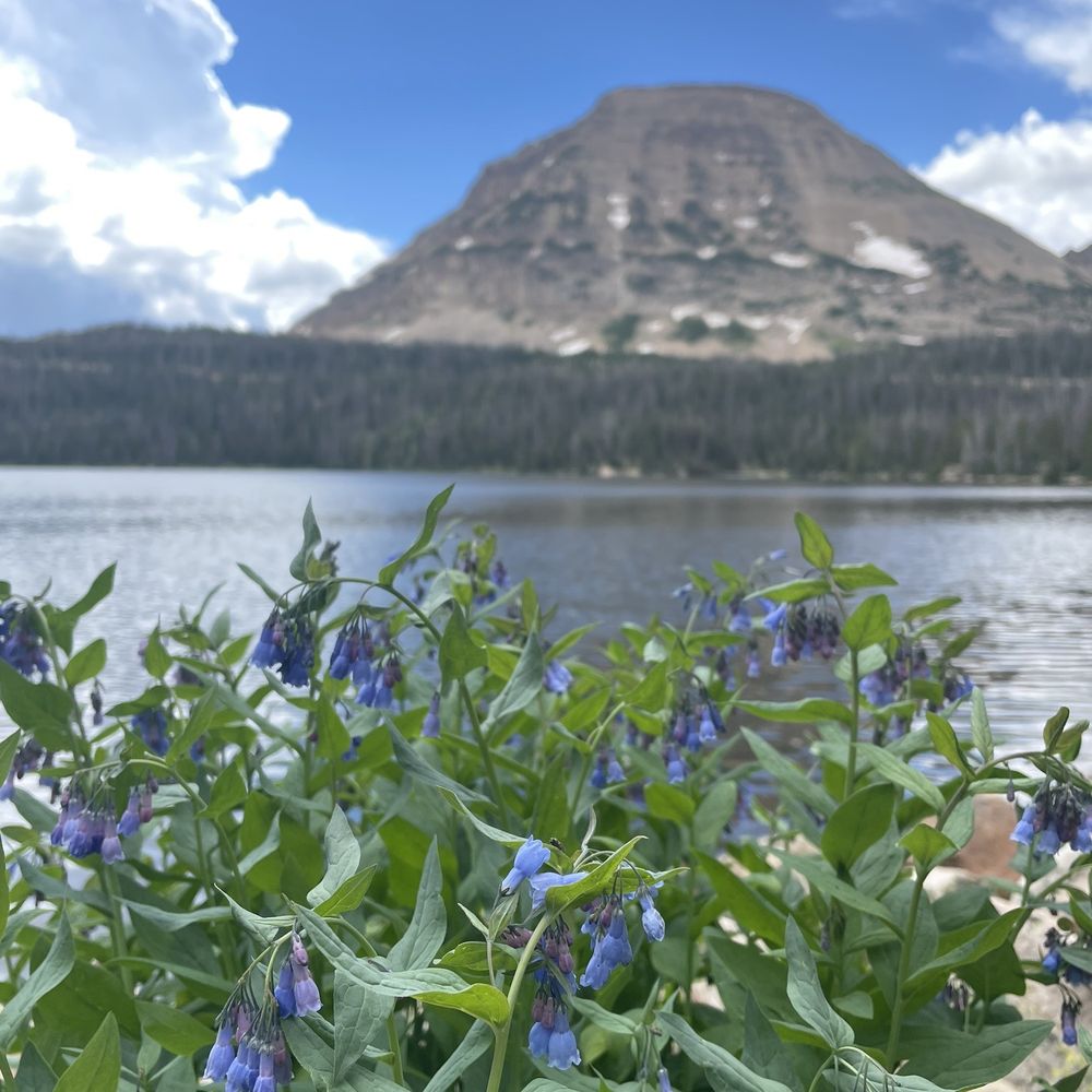
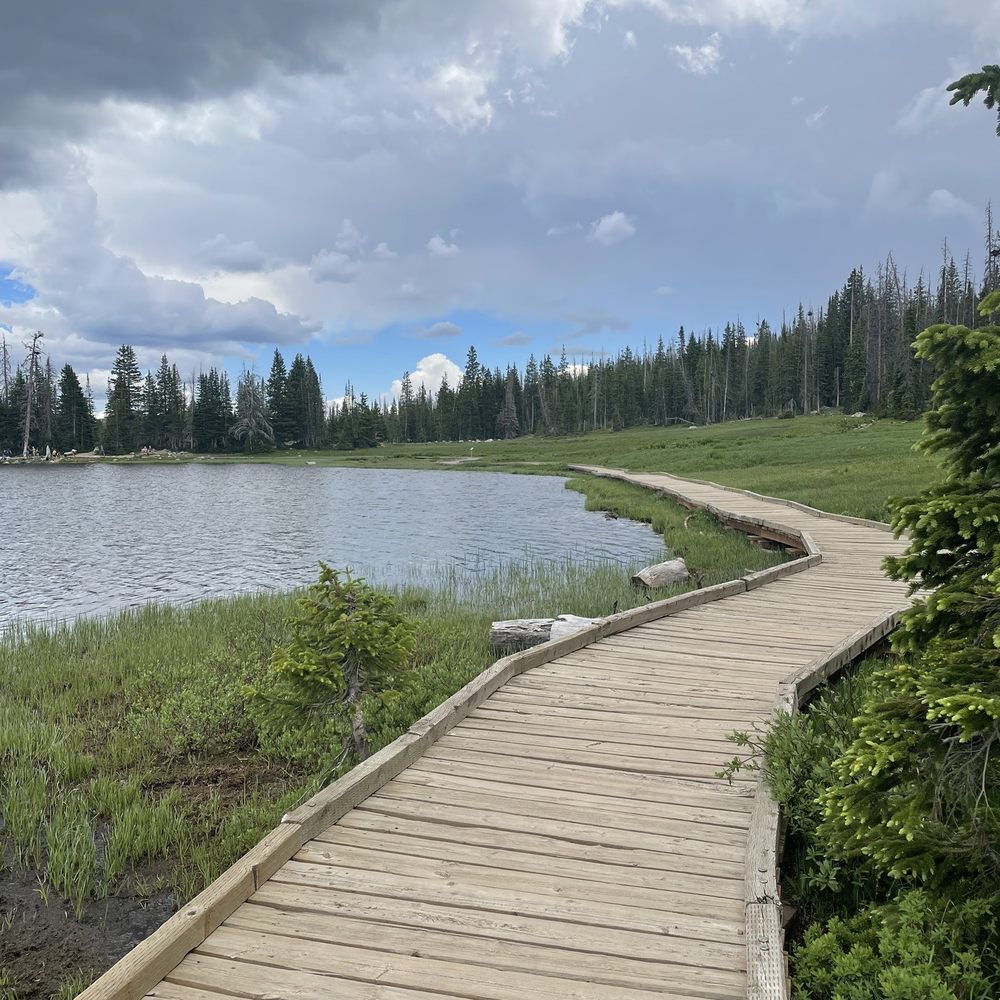
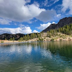
The Uinta's is an incredible gem that's really not that far away from Salt Lake. Mirror lake is probably one of the most popular lakes there. It is beautiful to look at and is big enough for human powered watercraft vehicles, a nice walk around the lake or fishing.


There are a number of great drives in Utah, however very few this close to Salt Lake and Utah County. There is great camping, hiking, picnicking, and just plain driving through with turnoffs. The best snowmobile trip I ever did was renting one for the day and bringing it here. We made it to the top and back. Fantastic. The hiking to Three Divides Lake, Trial Lake, and Clyde Lake, perfect. Whether it's backcountry camping at Three Divides (it has a hidden water pipe that taps into the mountain with giardia free water), or bringing the 5th wheel, there is camping for all tastes. I've been coming here in all seasons for decades. It's been unfortunate to see the trees dying from beetles helped by the winters warming up, and the droughts, over the last few decades. I hope it's still there when my children get to be my age.


One of the greatest stretches of Highway in the United States. Boom. Now, that's a pretty bold statement. But it's probably well-deserved and here's why: this stretch of Highway 150 is the poster child for drives through the forest. You pass deep gorges, a cascading waterfall, scenic overlooks, campground after campground, a tumbling mountain river, roadside lakes, a bald mountain peak, stunning views, and then slowly descend back out of the trees as you leave the state. The scenery is what makes this so stellar. Starting in Kamas, you climb up the Upper Provo River until you leave the last bit of the civilized world and reach your first aspen stands. They're shimmering, quaking leaves are resplendent in the summer, fiery yellow in the Fall, haunting like bony fingers reaching skyward through the Winter only to swell with bright green life each Spring. The snow falls early and heavy in these parts, so the road is closed each Winter. Although they try to have it open by around Memorial Day, some years it just doesn't happen that early. Some years it opens mid-May. The one thorn in this beautiful mountain rose is that it's now a fee area. If you're driving straight through, then you don't have to pay. But parked cars must display a pass. As of this moment, the Forest Service website is incorrect. The correct fee schedule is: 3-day pass -- $6 7-day pass -- $12 Annual pass -- $45 I get it. I really do. And in some ways, I think it hopefully keeps massive mobs away. But it stings. I pony up and buy the annual pass (available at the Forest Service fee station a few miles up the byway from Kamas, self-serve stations near Provo River Falls, or a few local places like Kamas Food Town) but I'm not super pleased about it. I don't use too many of the facilities (campgrounds, restrooms, picnic areas) but rather launch off from the area into the backcountry. So what's to do? Where to begin. There are dozens of hikes, both day and backpacking trips, that you can begin from the MLH. There are dozens of lakes either on the road or a very short walk from it. Most are managed put-and-take fisheries because of the heavy angling pressure, but they're amazing opps for the kids. Picnicking? Check. Wildlife? Lots of it (bring bug spray, too). Camping? Official campgrounds dot the side of the road. They're an additional cost beyond the MLH pass. In the Winter you've got snowmobiling and snowshoeing as well. Now, there are plenty of folks who use this area. Holiday weekends are kind of a zoo, and most summer weekends you'll need to get there early. But it's really just so accessible and beautiful it's hard to blame anyone for wanting a piece of the action. So it's also extra important to take care of the area. Stop hacking down the trees and leaving garbage and it'll be there for our kids' kids to enjoy. Whether a nice mountain drive or a weekend destination, the ML Scenic Byway is terrific. Load up the kids, the dog, and a few cans of beans and make a moment out of it.


We found a nice little campground with clean bathrooms. This is one of our favorite places to visit for the day or camp. So much to do and see.
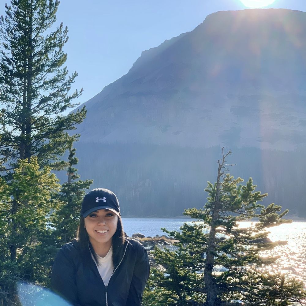

Loved this area! It's a great place to have a picnic or set up a hammock. It was absolutely beautiful and the drive up there was very amusing.


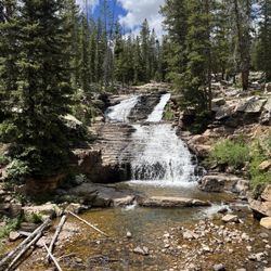
After staying for 4 months in high dessert Morgan,Utah surrounded by aspen trees and sage brush, never thought I see this beautiful lake just 1hour drive. Smell of fresh mature pine trees and beautiful lake reminded of me a picture I've seen in travel magazine before. On the way to Mirror lake, stop by @ mile mark 26 Provo river fall!


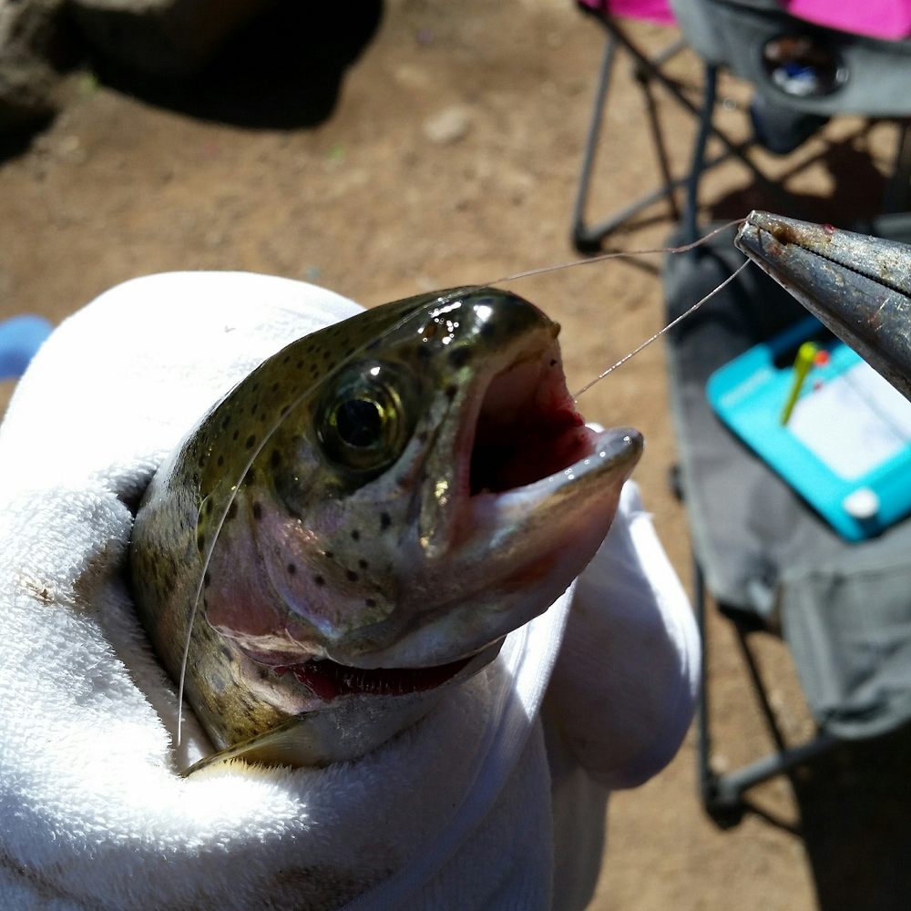
Oh boy. This is by far my absolute favorite place on earth. This is a beautiful drive in Spring, Summer and Fall!! This byway will take you from Kamas, UT to Evanston, WY. It is about 60 miles of camping, fishing, hiking, photography, horseback and what not with, rivers, lakes, waterfalls and wildlife all over! My favorite activity up there is fishing. We've been dozens of time this year. Sometimes driving from Centerville 3 days in a row. It's worth it. The lakes are heavily stocked with various types of trout. Rainbow, tiger and splake are some. Brown and cutthroat also. Easy to catch and delicious. My second favorite thing to do is sitting. Yup. The scenery is breath taking! I could sit and WILL sit all day just taking it in. Bald mountain towers above my favorite place to fish, Pass Lake. The weather up there changes on a dime so prepare for all types of weather if you're planning on spending a day. If you would love to take a dirt road, turn off the highway and go to Soapstone Pass. There is some beautiful scenery up there too. Big, open fields, rolling hills and wild flowers. This will take you to Wolf Creek Highway. I've had my cars up there, because I'm crazy....or determined. But I recommend a truck or a vehicle with higher ground clearance. Dirt road conditions can change quickly. What was possible in a belly dragging, lowrider could call for a 4x4, 3 days later. HEADS UP: This is the perfect playground for dirt bikes, ATVS and 4 -wheelers, and hikers so please be courteous, drive safe and keep an eye out for riders, hikers and hunters. You don't want to end an awesome day in the Uintas with an accident. From late November to late May/early June, Mirror Lake Highway is closed. Being closed doesn't mean the fun has to stop! Mirror Lake Highway offers some of the most superb snowmobiling country! If you'd like to take it easy, the trail is groomed 30 miles, from Soapstone Pass to Bear River Lodge. I just got into snowshoeing last year and can't wait to give these areas a try. I would like to go on, but this is getting long hehe. Enjoy a day in the Unitas! Don't forget your rec. pass. $6 for 3 days. Go! Now!!


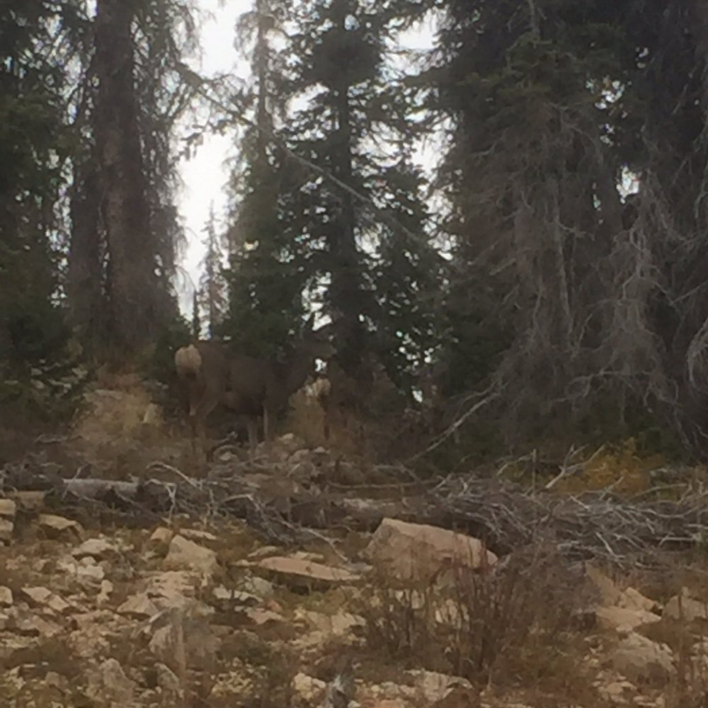
It costs $6 for a three-day pass--have the correct amount. We hiked to Long Lake (2 miles from trailhead). Several signs on the trail were missing so it was confusing if you don't know the area. Big parking lots with toilets. Good fishing. We saw several deer, squirrels, birds, etc. Lots of rocks--be careful not to twist your ankle!


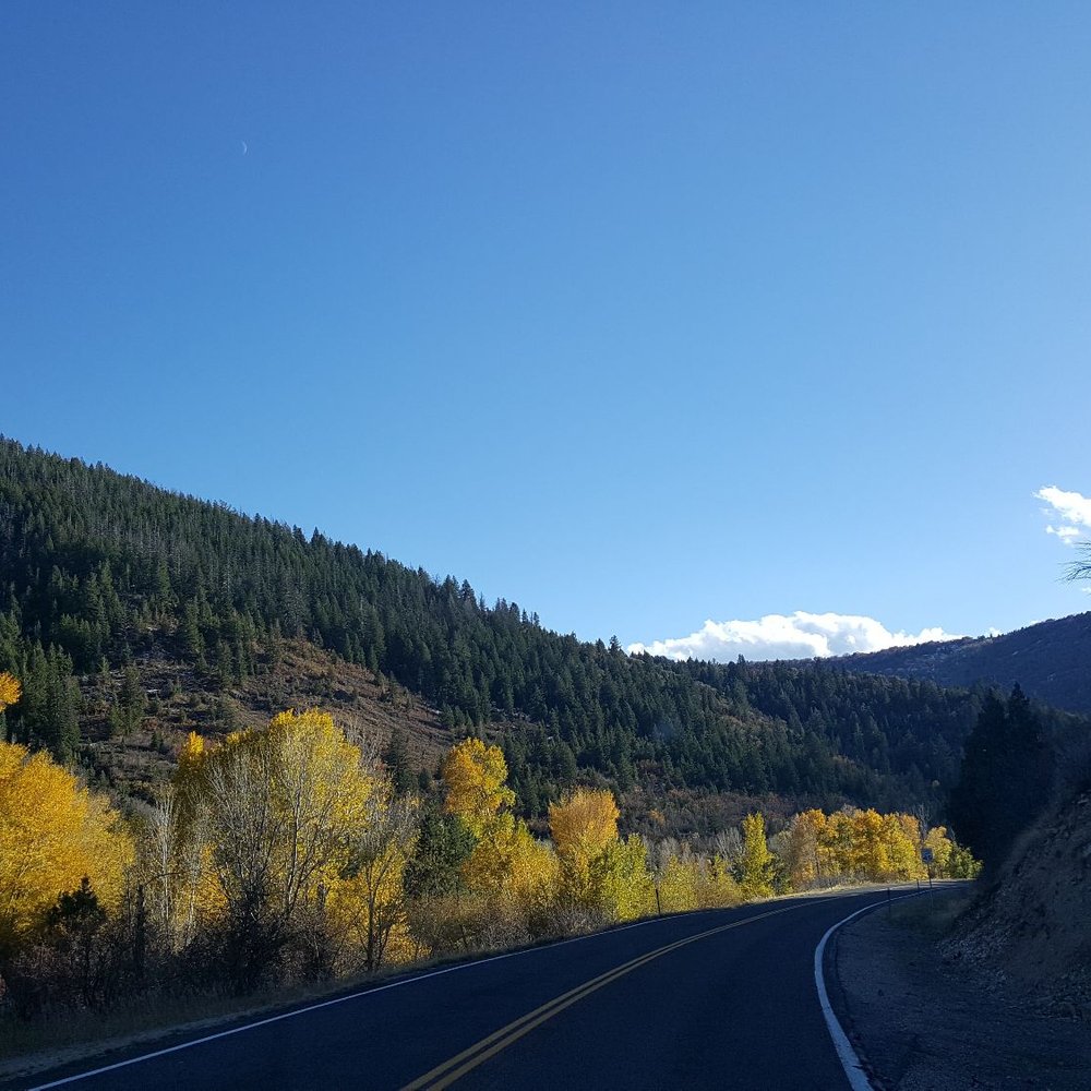
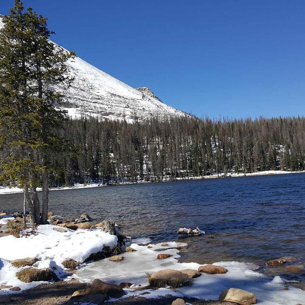
A must do! Spent a few days in SLC & enjoyed this drive. So much to see along the way and a nice workout. I was here early October and although it was pretty cold(11-15°), this San Diegan had a blast. Blessed with fall colors as well as snow!
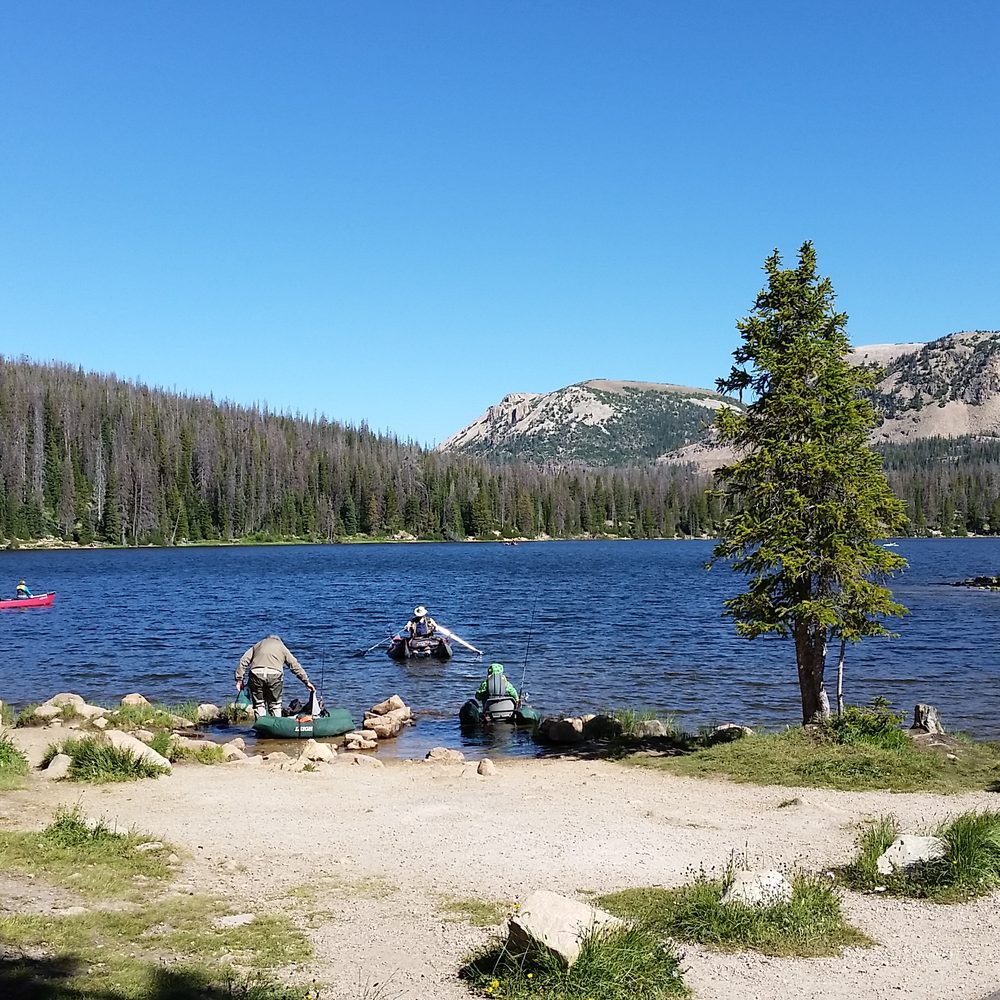

Best camping/relaxation and picnic area closest to Salt Lake. Absolutely gorgeous. DO NOT forget your fishing license though.. DNR is everywhere. A true Utah hidden gem.
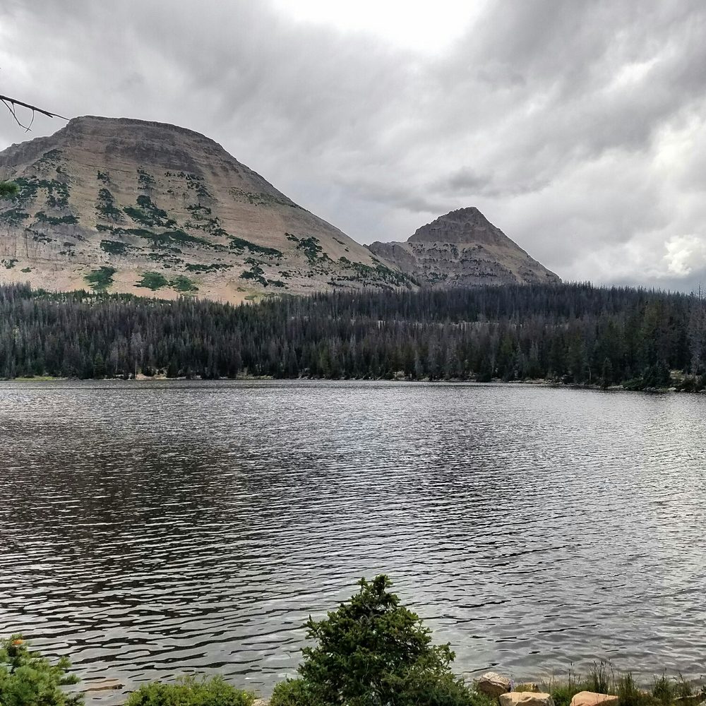


So many lakes. So many trails. So many places to backpack or camp, and only an hour from Salt Lake City. The Uintas have a million secret treasures. The more you go, the more you find. Love the Uintas year round, but the mosquitos are FOR REAL in summer. Go prepared. read more


Beautiful drive! The walk around Mirror lake is so wonderful!! LOVED, LOVED, LOVED. Easy relaxing stroll. Lots of families, walkers, and people fishing. What a beautiful place to camp! Please note-yelp has the wrong address. This is close to the ranger station (super nice ranger!) at 50 E Center St, in Kamas. This is where you can buy a three day pass( $6) for the Mirror lake area and pay with a credit card. (Only cash and self pay at the lake) The lake was an additional 35 or 40 min from this location. No fee to drive and see all the sights near the road, but if you want to go to the lake you have to have a parking permit displayed in your car. read more




4 years ago
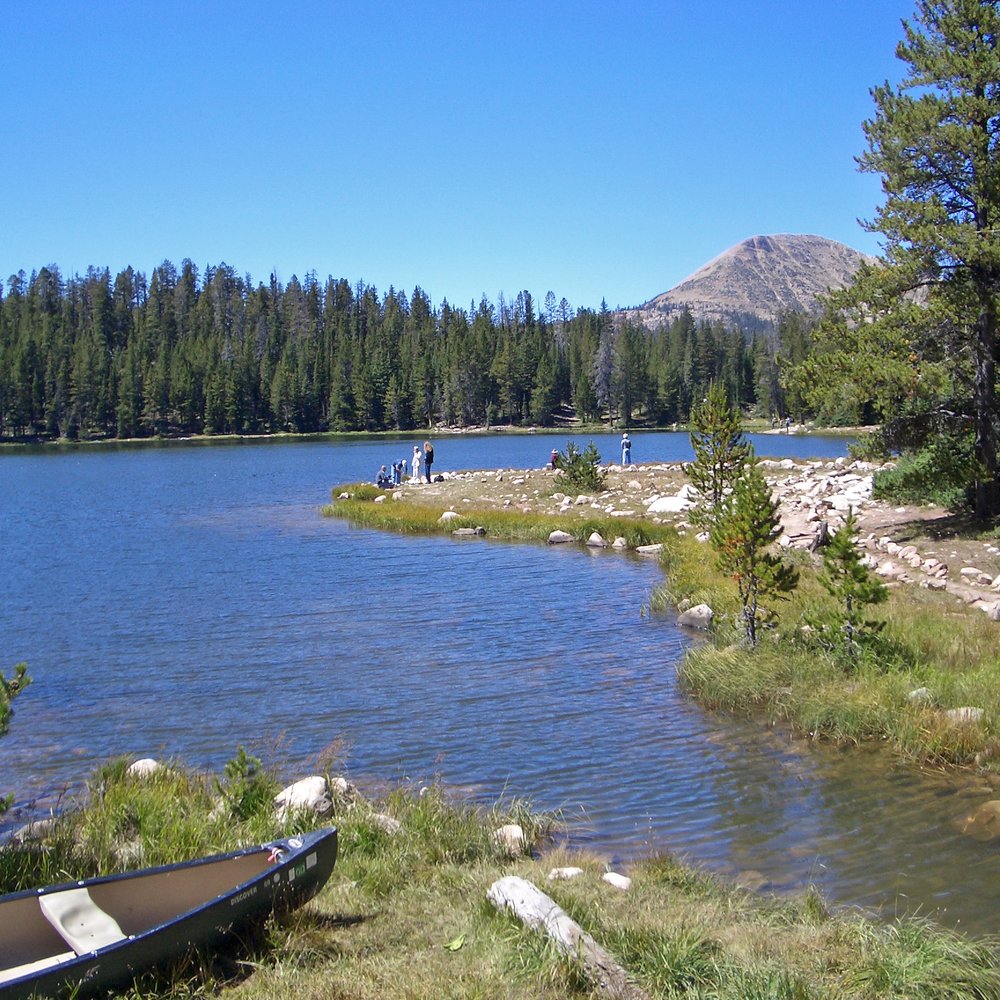
The Uinta's is an incredible gem that's really not that far away from Salt Lake. Mirror lake is probably one of the most popular lakes there. It is beautiful to look at and is big enough for human powered watercraft vehicles, a nice walk around the lake or fishing. read more

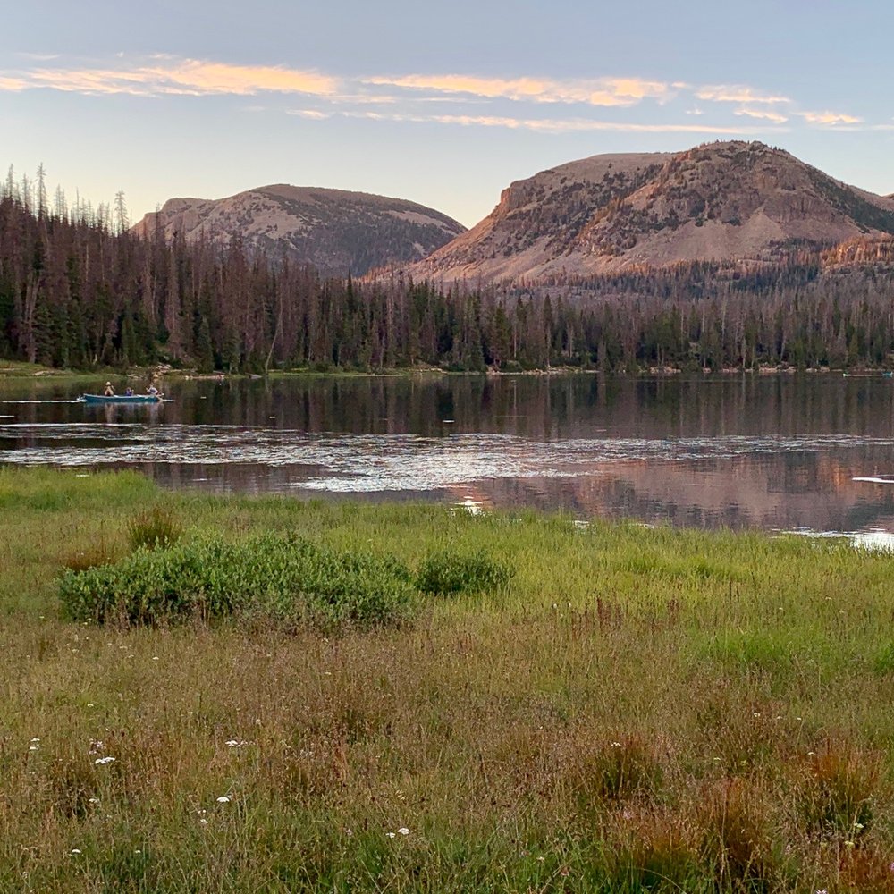

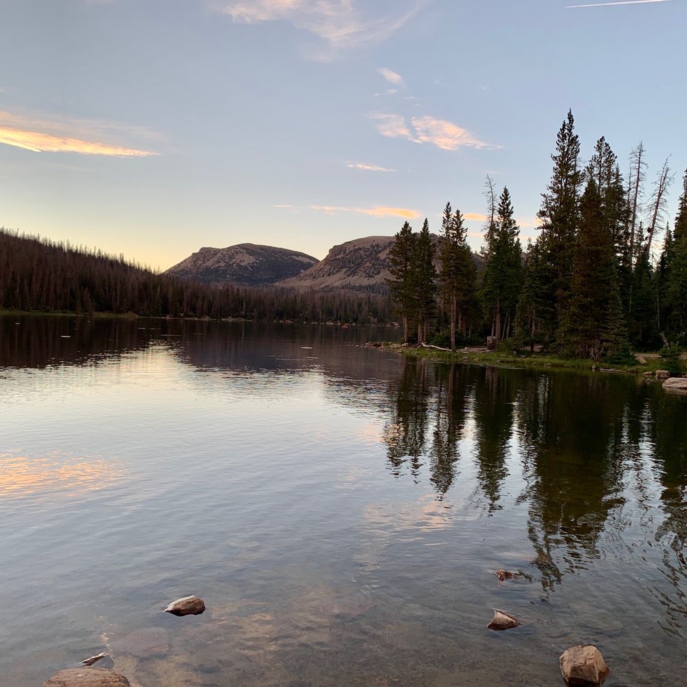

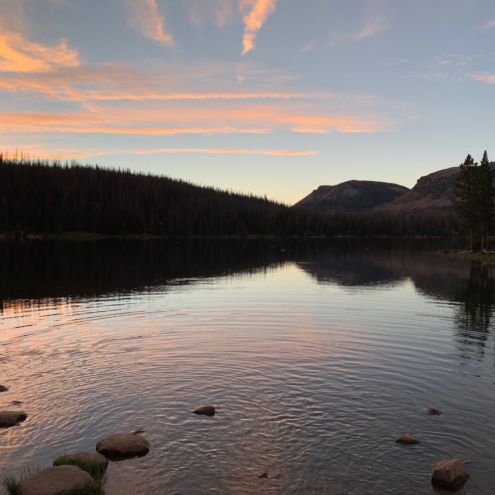


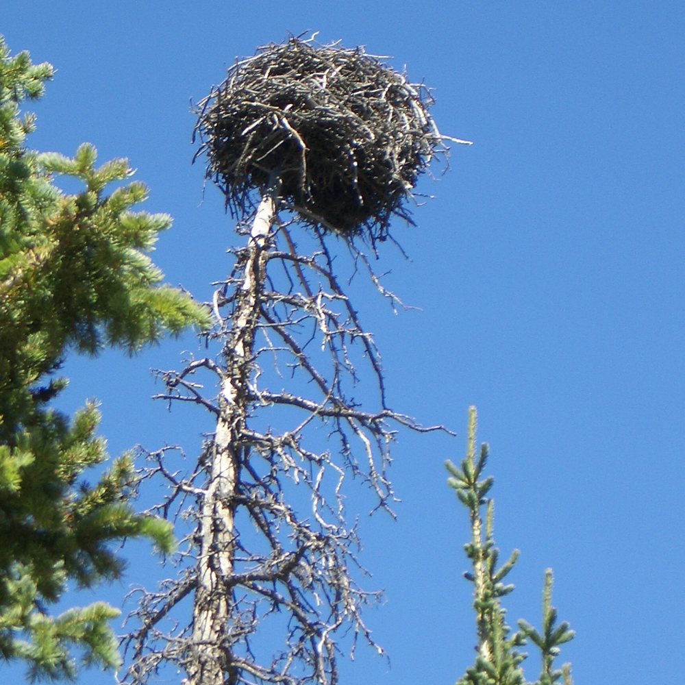
There are a number of great drives in Utah, however very few this close to Salt Lake and Utah County. There is great camping, hiking, picnicking, and just plain driving through with turnoffs. The best snowmobile trip I ever did was renting one for the day and bringing it here. We made it to the top and back. Fantastic. The hiking to Three Divides Lake, Trial Lake, and Clyde Lake, perfect. Whether it's backcountry camping at Three Divides (it has a hidden water pipe that taps into the mountain with giardia free water), or bringing the 5th wheel, there is camping for all tastes. I've been coming here in all seasons for decades. It's been unfortunate to see the trees dying from beetles helped by the winters warming up, and the droughts, over the last few decades. I hope it's still there when my children get to be my age. read more



14 years ago
One of the greatest stretches of Highway in the United States. Boom. Now, that's a pretty bold statement. But it's probably well-deserved and here's why: this stretch of Highway 150 is the poster child for drives through the forest. You pass deep gorges, a cascading waterfall, scenic overlooks, campground after campground, a tumbling mountain river, roadside lakes, a bald mountain peak, stunning views, and then slowly descend back out of the trees as you leave the state. The scenery is what makes this so stellar. Starting in Kamas, you climb up the Upper Provo River until you leave the last bit of the civilized world and reach your first aspen stands. They're shimmering, quaking leaves are resplendent in the summer, fiery yellow in the Fall, haunting like bony fingers reaching skyward through the Winter only to swell with bright green life each Spring. The snow falls early and heavy in these parts, so the road is closed each Winter. Although they try to have it open by around Memorial Day, some years it just doesn't happen that early. Some years it opens mid-May. The one thorn in this beautiful mountain rose is that it's now a fee area. If you're driving straight through, then you don't have to pay. But parked cars must display a pass. As of this moment, the Forest Service website is incorrect. The correct fee schedule is: 3-day pass -- $6 7-day pass -- $12 Annual pass -- $45 I get it. I really do. And in some ways, I think it hopefully keeps massive mobs away. But it stings. I pony up and buy the annual pass (available at the Forest Service fee station a few miles up the byway from Kamas, self-serve stations near Provo River Falls, or a few local places like Kamas Food Town) but I'm not super pleased about it. I don't use too many of the facilities (campgrounds, restrooms, picnic areas) but rather launch off from the area into the backcountry. So what's to do? Where to begin. There are dozens of hikes, both day and backpacking trips, that you can begin from the MLH. There are dozens of lakes either on the road or a very short walk from it. Most are managed put-and-take fisheries because of the heavy angling pressure, but they're amazing opps for the kids. Picnicking? Check. Wildlife? Lots of it (bring bug spray, too). Camping? Official campgrounds dot the side of the road. They're an additional cost beyond the MLH pass. In the Winter you've got snowmobiling and snowshoeing as well. Now, there are plenty of folks who use this area. Holiday weekends are kind of a zoo, and most summer weekends you'll need to get there early. But it's really just so accessible and beautiful it's hard to blame anyone for wanting a piece of the action. So it's also extra important to take care of the area. Stop hacking down the trees and leaving garbage and it'll be there for our kids' kids to enjoy. Whether a nice mountain drive or a weekend destination, the ML Scenic Byway is terrific. Load up the kids, the dog, and a few cans of beans and make a moment out of it. read more

6 years ago
We found a nice little campground with clean bathrooms. This is one of our favorite places to visit for the day or camp. So much to do and see. read more

6 years ago
Loved this area! It's a great place to have a picnic or set up a hammock. It was absolutely beautiful and the drive up there was very amusing. read more


11 years ago
After staying for 4 months in high dessert Morgan,Utah surrounded by aspen trees and sage brush, never thought I see this beautiful lake just 1hour drive. Smell of fresh mature pine trees and beautiful lake reminded of me a picture I've seen in travel magazine before. On the way to Mirror lake, stop by @ mile mark 26 Provo river fall! read more


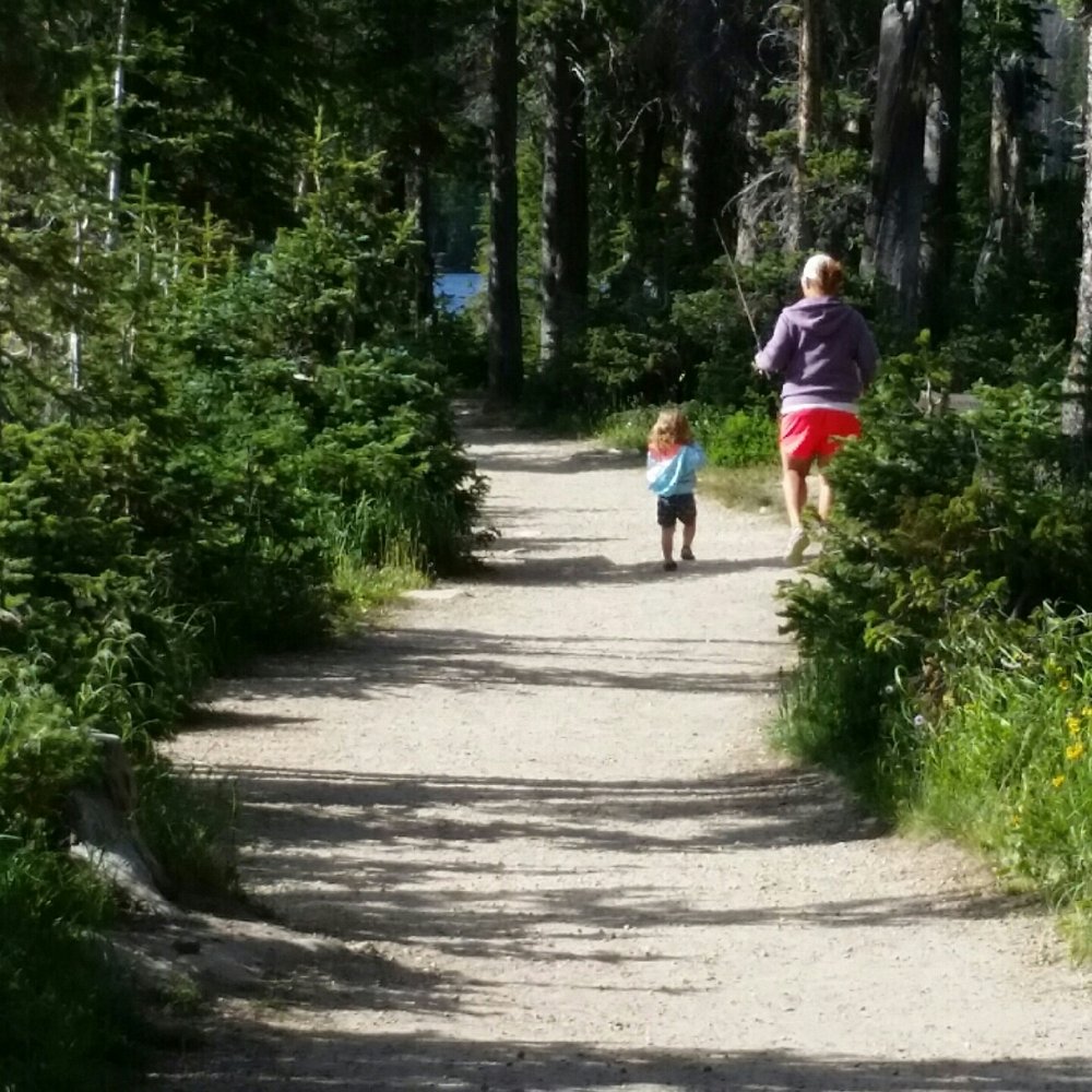
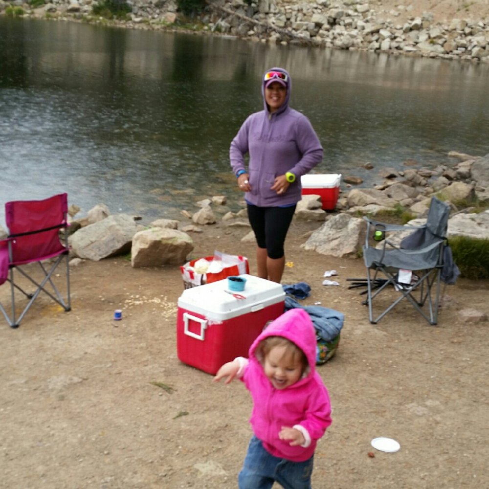
Oh boy. This is by far my absolute favorite place on earth. This is a beautiful drive in Spring, Summer and Fall!! This byway will take you from Kamas, UT to Evanston, WY. It is about 60 miles of camping, fishing, hiking, photography, horseback and what not with, rivers, lakes, waterfalls and wildlife all over! My favorite activity up there is fishing. We've been dozens of time this year. Sometimes driving from Centerville 3 days in a row. It's worth it. The lakes are heavily stocked with various types of trout. Rainbow, tiger and splake are some. Brown and cutthroat also. Easy to catch and delicious. My second favorite thing to do is sitting. Yup. The scenery is breath taking! I could sit and WILL sit all day just taking it in. Bald mountain towers above my favorite place to fish, Pass Lake. The weather up there changes on a dime so prepare for all types of weather if you're planning on spending a day. If you would love to take a dirt road, turn off the highway and go to Soapstone Pass. There is some beautiful scenery up there too. Big, open fields, rolling hills and wild flowers. This will take you to Wolf Creek Highway. I've had my cars up there, because I'm crazy....or determined. But I recommend a truck or a vehicle with higher ground clearance. Dirt road conditions can change quickly. What was possible in a belly dragging, lowrider could call for a 4x4, 3 days later. HEADS UP: This is the perfect playground for dirt bikes, ATVS and 4 -wheelers, and hikers so please be courteous, drive safe and keep an eye out for riders, hikers and hunters. You don't want to end an awesome day in the Uintas with an accident. From late November to late May/early June, Mirror Lake Highway is closed. Being closed doesn't mean the fun has to stop! Mirror Lake Highway offers some of the most superb snowmobiling country! If you'd like to take it easy, the trail is groomed 30 miles, from Soapstone Pass to Bear River Lodge. I just got into snowshoeing last year and can't wait to give these areas a try. I would like to go on, but this is getting long hehe. Enjoy a day in the Unitas! Don't forget your rec. pass. $6 for 3 days. Go! Now!! read more






4 years ago

It costs $6 for a three-day pass--have the correct amount. We hiked to Long Lake (2 miles from trailhead). Several signs on the trail were missing so it was confusing if you don't know the area. Big parking lots with toilets. Good fishing. We saw several deer, squirrels, birds, etc. Lots of rocks--be careful not to twist your ankle! read more



8 years ago
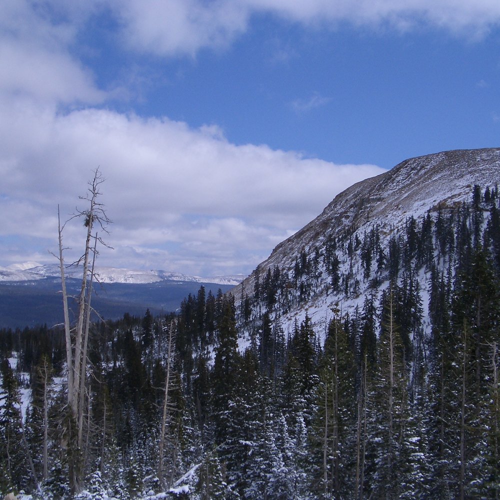
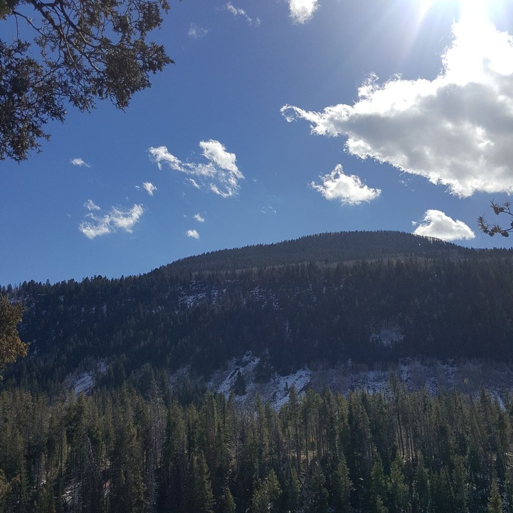
A must do! Spent a few days in SLC & enjoyed this drive. So much to see along the way and a nice workout. I was here early October and although it was pretty cold(11-15°), this San Diegan had a blast. Blessed with fall colors as well as snow! read more




10 years ago
Best camping/relaxation and picnic area closest to Salt Lake. Absolutely gorgeous. DO NOT forget your fishing license though.. DNR is everywhere. A true Utah hidden gem. read more
10 years ago
One of my favorite spots for many activities. Love camping up here. $20/night in some of the most gorgeous areas our state has to offer. Walking around Mirror Lake is awesome! Best time to come for a drive IMO is during the fall when the leaves are changing. BEAUTIFUL read more


8 years ago

12 years ago
More info about Mirror Lake Scenic Byway
Utah State Rte 150
Kamas, UT 84036
Directions
(435) 783-4338
Call Now
Hours
Outdoor Amenities
Other Amenities
Ask the Community - Mirror Lake Scenic Byway
Was considering doing this Byway even though it would add an hour to my road trip time. Is it worth the extra hour just to drive through? and are there drop offs or really step inclines? I'm driving by myself and get pretty nervous. Thank you!
For me, it's always worth it, but I really love this type of scenery. It runs through the heart of national forest and is much more scenic than taking I-80, for example.…
Review Highlights - Mirror Lake Scenic Byway


















Why does Yelp recommend reviews?


Mirror Lake Scenic Byway - hiking - Updated August 2026
Best of Kamas
People found Mirror Lake Scenic Byway by searching for…
Trending Searches in Kamas, UT
Antiques near Mirror Lake Scenic Byway
Barbershop For Men near Mirror Lake Scenic Byway
Campgrounds near Mirror Lake Scenic Byway
Cliff Jumping near Mirror Lake Scenic Byway
Consignment Shops near Mirror Lake Scenic Byway
Ear Piercing near Mirror Lake Scenic Byway
Eyebrow Threading near Mirror Lake Scenic Byway
Kids Haircut near Mirror Lake Scenic Byway
Lakes near Mirror Lake Scenic Byway
Long Term Rv Parking near Mirror Lake Scenic Byway
Lookout Points near Mirror Lake Scenic Byway
Mineral Hot Springs near Mirror Lake Scenic Byway
Mini Golf near Mirror Lake Scenic Byway
Parks near Mirror Lake Scenic Byway
Pedicure near Mirror Lake Scenic Byway
Permanent Makeup near Mirror Lake Scenic Byway
Picnic Areas near Mirror Lake Scenic Byway
Preschools near Mirror Lake Scenic Byway
Public Golf Courses near Mirror Lake Scenic Byway
Public Pools near Mirror Lake Scenic Byway
River Tubing near Mirror Lake Scenic Byway
Scenic Overlook near Mirror Lake Scenic Byway
Shopping Malls near Mirror Lake Scenic Byway
Stargazing near Mirror Lake Scenic Byway
Sunrise View near Mirror Lake Scenic Byway
Swimming Holes near Mirror Lake Scenic Byway
Trading Card Shops near Mirror Lake Scenic Byway
Used Furniture Stores near Mirror Lake Scenic Byway
Browse Articles
Browse Nearby
BEST of Kamas, Utah Restaurants near Mirror Lake Scenic Byway
BEST of Kamas, Utah Things to Do near Mirror Lake Scenic Byway
BEST of Kamas, Utah Coffee near Mirror Lake Scenic Byway
BEST of Kamas, Utah Shopping near Mirror Lake Scenic Byway
BEST of Kamas, Utah Lakes near Mirror Lake Scenic Byway
BEST of Kamas, Utah Campgrounds near Mirror Lake Scenic Byway
Browse Brands
Related Cost Guides
Related Searches in Kamas, UT
Affordable Kayak Rental Services in Kamas, Utah
Affordable Lodging Options in Kamas, Utah
Affordable Long Term RV Parking in Kamas, Utah
Affordable Paddle Board Rental in Kamas, Utah
Best Dog Hiking Trails Around Kamas, Utah
Best Fishing Locations and Guides in Kamas, Utah
Best Places for Horseback Riding in Kamas, Utah
Best Sightseeing Experiences Available in Kamas, Utah
Book a Cozy Cabin Rental in Kamas, Utah
Browse Top Hotels in Kamas, Utah for Your Stay
Check Out Off Road Trails in Kamas, Utah
Discover Dog Friendly Trails to Explore in Kamas, Utah
Discover Free Campgrounds in Kamas, Utah Area
Discover Scenic Beach Camping Sites in Kamas, Utah
Discover a Hiking Trail in Kamas, Utah
Discover the Best Beaches in Kamas, Utah
Discover the Best Fishing Lake in Kamas, Utah
Discover the Best Night Hike Trails in Kamas, Utah
Dog-Friendly Hikes With Dogs in Kamas, Utah
Enjoy Camping Adventures Around Kamas, Utah
Enjoy Exciting Mountain Biking Adventures in Kamas, Utah
Enjoy Hiking Adventures in Kamas, Utah
Enjoy Kayaking Adventures in Kamas, Utah
Enjoy Off Leash Dog Hikes in Kamas, Utah
Enjoy River Tubing Adventures in Kamas, Utah
Enjoy Tent Camping Spots Around Kamas, Utah
Enjoy a Relaxing Bed & Breakfast Experience in Kamas, Utah
Enjoy the Best Walking Trails in Kamas, Utah
Experience Stunning Sunset Views in Kamas, Utah
Experience Thrilling White Water Rafting in Kamas, Utah
Explore Beautiful Parks and Green Spaces in Kamas, Utah
Explore Easy Hikes Perfect for All in Kamas, Utah
Explore Fun Activities to Do in Kamas, Utah
Explore Mobile Home Parks in Kamas, Utah Now
Explore Popular Campgrounds Near Kamas, Utah
Explore Popular Picnic Areas Around Kamas, Utah
Explore Popular RV Parks Around Kamas, Utah
Explore Scenic Lakes to Visit in Kamas, Utah
Explore Summer Camps for All Ages in Kamas, Utah
Explore Top Dog Parks in Kamas, Utah Near You
Explore Top Marinas Near Kamas, Utah
Explore Top Water Parks in Kamas, Utah Today
Explore Volleyball Courts Available in Kamas, Utah
Explore the Best Swimming Holes Around Kamas, Utah
Family Friendly Hiking With Kids in Kamas, Utah
Find Cozy Camping Cabins in Kamas, Utah
Find Popular Ziplining Spots Around Kamas, Utah


