Lake Blanche Trail Photos



You might also consider


More like Lake Blanche Trail
Recommended Reviews - Lake Blanche Trail
Start your review...


Reviews With Photos


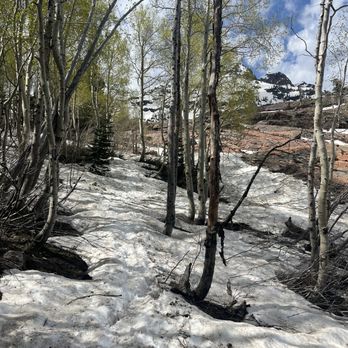
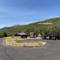
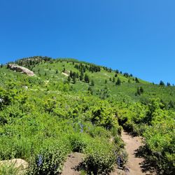
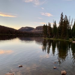
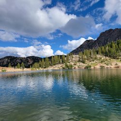
Hiked 6/6/22 With clouds and scattered rain over the valley, I took my chances and headed up the canyon to the Mill B South parking lot. Luck (and the weather!) was absolutely on my side, I was able to snag a parking spot in the lot itself. There are toilets at the trailhead, but just beyond them is a sort-of marked offshoot that will send you rocketing up the side of the mountain to the snowy peaks above you. With minimal mud and snow on the trail, it's as easy going as it can be, with over 2,000 feet gained in elevation as you approach the lake. There are copious wildflowers lining the trail to admire as you gasp for breath, and the canyon always has a breeze to send whisking along your sweaty cheek. The lake itself is stunning. Peaceful, lined with trees and with snow-capped peaks towering above you, it's truly a zen-like place to sit and admire the beauty of nature. This was early on in the season, I'm sure as the days warm the trail will become busier and the snow will melt around the lake. I will say; pack bug spray and re-apply.


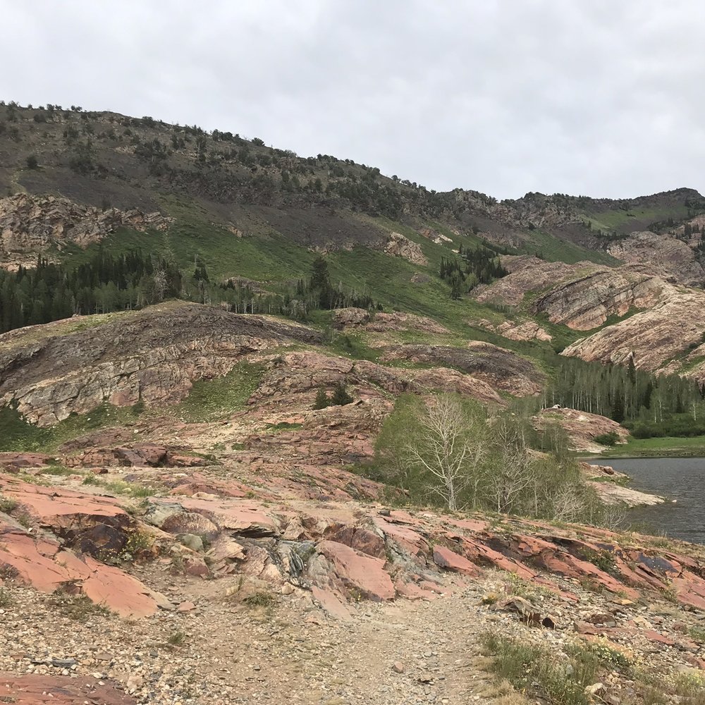
I'm going to miss you, Blanche. But first, the facts: Getting There This trail departs from the Mill B South Trailhead in Big Cottonwood Canyon. That's listed separately here on Yelp: https://www.yelp.com/biz/mill-b-south-trailhead-salt-lake-city The quick version is that you take the Highway 190 (Big Cottonwood Canyon Rd) about 4.3 miles until you see the sign on the right, at the base of the big S-curve. The Trail The trail is a rigorous 3 miles to the lake, making it a 6-mile round trip out and back hike. Most online sources tell you it's a 6.9-mile trek, but that includes an extra half mile of trail that takes you beyond to Lake Florence and Lake Lillian, and you can go beyond that to scramble up to Sundial Peak. To Blanche, you'll make just over 2700' in elevation, and it's consistently, grindingly uphill. There's nothing technical about the hike, and the trail is a little rocky in spots, but it just climbs and climbs, hence the rigorous rating. It' mostly covered in trees, with a few very exposed areas, especially towards the top. The Destination The namesake, Lake Blanche, is gorgeous. It's surrounded by smooth orange and red rocks, and sits in placid beauty beneath the unmistakable profile of Sundial Peak above. Little fish swim those waters, and the colors of the surrounding foliage light up in the fall. Old names from a hundred years ago are chiseled into the approach, and the old derelict wall and dam still surround it. You'll probably have company as it's a popular hike, but don't forget to press on to Lake Florence and Lillian. They're smaller, steeped in talus slope, but afford a bit more seclusion. Camping is A-OK without permit, but there are rules (see below). Rules Absolutely no pets; Big Cottonwood Canyon is a watershed. No campfires. You're in Twin Peaks Wilderness, so all the normal designated wilderness rules apply (no air/drone travel, bikes, motorized travel, etc) and you should also choose your campsite far enough from the road, trail, and water sources. The good news is, there's no fee for BCC and no fee for the trailhead and hike. Season You can hike the mud in late spring and fall, but its peak season is all summer long. Technically you can hike/snowshoe in winter but it's a slog. The trailhead is open from May-ish to October-ish. As of a week ago, the trailhead was closed despite no snow in the lower elevations. And Now I Wax Poetic I'll miss you, Blanche. My recent visit was the last time I'll see her before the snow flies. There's a bit of sadness in this; what once teemed with life and possibility now enters a dark season of cold isolation. I know it has to be this way--winter has its claim on all things, and this frozen time brings about the possibility of full ponds, rushing rivers, and a new life. But I miss you already. There is no promise I'll be back. My previous hike to the lake was probably close to a decade ago, and while I hoped and wished to come back in those years, circumstances never seemed to allow it. With so many other hikes to see and do, and who knows if I'll be back? So with the impending frost and deep powder, it may very well be that I'll never spend time with sweet Blanche again. And yet. I hope to. I hope that one day, when winter's touch has tamed its strangle on that canyon, and the forest has had the courage to emerge from the icy season of its life, that the glacier lilies will rise from beneath the retreating sheets of snow and there will be flowers once again. I hope everything will be warm, and all the colors will come back and the forest, and if the conditions are right that I'll be ready to once again lace up my shoes and be with you, Blanche. No guarantees. But that's what I hope.


I wish more people would rate hiking trails on Yelp! It would be so convenient to find great hiking trails here. Come on Yelpers, lets band together and do it! Seriously, though, Lake Blanche is my very most favorite hiking trail in the area, and I do quite a bit of hiking. It's a moderate hike at a little over 3 miles to get to the lake, and a decent elevation gain. I hike fairly quickly and we can make it to the lake in about two hours with some short stops. I like it because it doesn't seem quite as busy as other hikes, there is a lot of changing scenery, a beautiful quaking aspen grove, we have seen moose 5 out of 6 times, and the lakes are just GORGEOUS. The first time I got there it seriously took my breath away. Don't just hike to Lake Blanche and head back, either! Sort of behind her are two other smaller lakes, Lake Florence and Lake Lillian. The very farthest Lake from Blanche typically has moose hanging out there. The last time we went we saw three (two bulls, one cow). We backpacked and camped up here one night back in July. It was SO cold (campfires are not allowed). We slept in hammocks (this is a perfect place for hammocks, lots of trees), but our sleeping bags were not warm enough. It was totally our own fault, but a lesson to remember that even in the middle of the Summer the mountains can be almost freezing! A few tips: Make sure and bring lots of water and snacks. We usually have a little sandwich or something when we get to the top, and it's a great reward for the work of hiking. It's a great Summer hike because a lot of it is in the shade, but there are also exposed areas in the sun. The temperature can fluctuate quite a bit, so make sure to be prepared with extra layers that are easy to add or remove. There are at least two trails where you park for the hike and the lot fills up quickly. Once it does people park along the side of the road, but I would recommend arriving early in the morning for parking and also to avoid the heat when hiking in the Summer. My husband teases me about never wanting to do the same hike twice, and it is true that I like to try new hikes most of the time, but I will never ever tire of Lake Blanche.
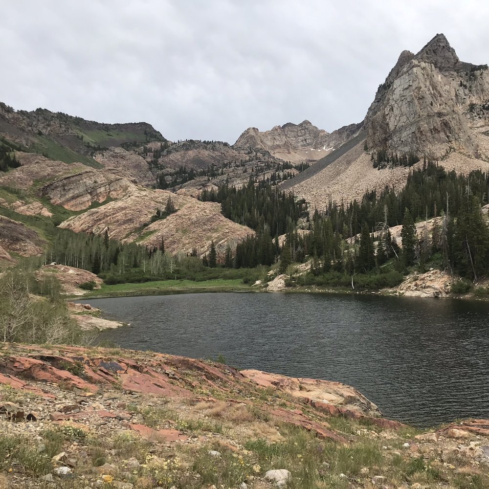

Beautiful hike and one of my favorite in the area! It's definitely a hike so just come prepared with some water and snacks! There's a small parking lot, but I'd suggest getting there a bit early so you don't have to park on the street. Bring a camera because the view is phenomenal!


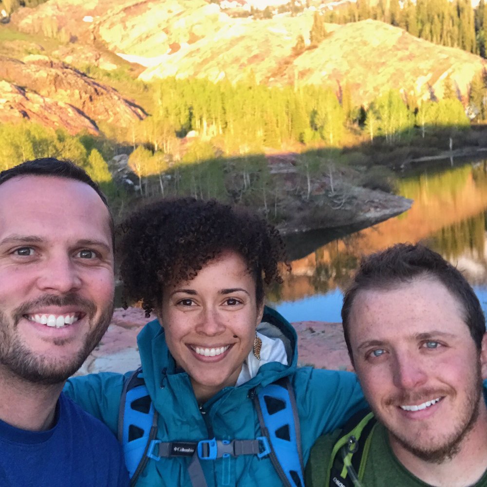
Big Cottonwood Canyon Over 7 miles roundtrip ~2700 ft elevation gain PARKING: At the trailhead, there is limited street parking along the S curve and a few small lots. If coming with multiple cars, it's best to park at the Park and Ride about 4 miles down the canyon (there is another lot too, on Wasatch) and carpool to the trailhead. The trails in this area get extremely busy, especially during summer evenings and weekends. TRAILHEAD: This trail follows the Mill B South Fork trail. Make sure it says South. If you take North, you won't end up at Blanche. Mosey on down the canyon road until you get to the bottom of the S curve to find South. Keep an eye out for the sign within the first few hundred yards that directs to the right for Lake Blanche. My hiking buddies were so deep in conversation, they nearly kept going straight. ENJOYMENT FACTOR: Alltrails rates this as a moderate to hard hike and I'd agree with that. But even non-fit hikers can do this rather steep trail if they allow enough time to take ample breaks to catch their breath. The lake is beautiful and extremely peaceful. We bought a few canned beers and snacks at the 7-11 at the bottom of the canyon and spent around 30 minutes at the lake which we nearly had to ourselves. We got some nice silhouette shots with the impending sunset and made it back down about 30 minutes after it got dark. There's nothing particularly memorable about the hike itself but the reward was awesome. 4/5 GOOD TO KNOW: -No swimming. You'd have to be really brave and from Alaska to even think about it but it's still not allowed. -No pets (as with all Cottonwood canyon trails) -No campfires if you choose to stay overnight, which we plan to do in the height of the summer to capitalize on maximum warmth. -There are also 2 other lakes - Lake Florence and Lake Lillian - in the area that we didn't get to see due to time but may be worth checking out if you aren't in a rush. I believe they are only within a few hundred yards but not visible from Lake Blanche -Sundial Peak not only makes for a beautiful photographic centerpiece from Blanche but is also scalable. Maybe when we come back to camp, we can spend a few hours bagging it.


Beautiful trail. We decided to go left before heading up, following the river and found a small little water fall. Super cute and easy to get to.


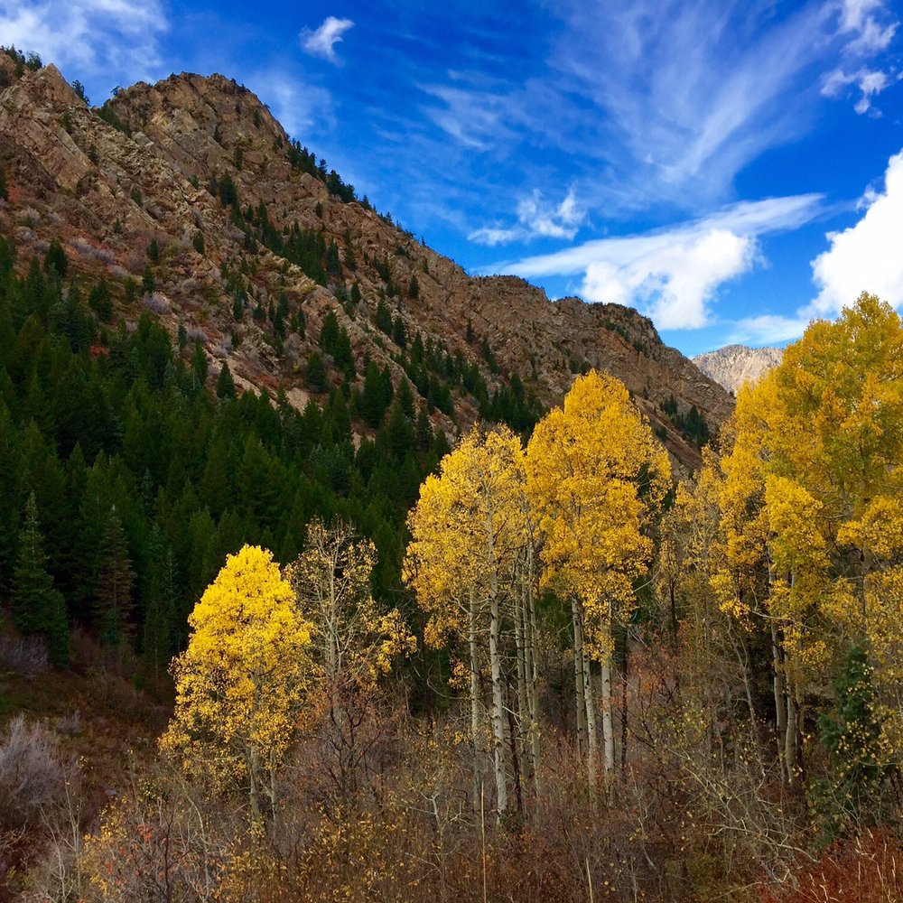
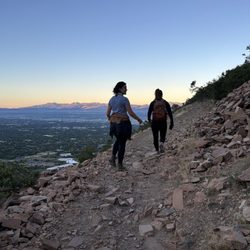
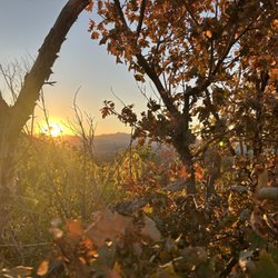
Moderate to difficult trail. Beautiful views the whole hike. Really great area about 3/4 way up where you need to scramble over some boulders, but remember to follow the switchback back to the right! Lots of photo opportunities especially in mid October when aspens were popping. Took a walk around lake Blanche and crossed over a stream teeming with fish. Moose country but didn't see any in this hike. Pack a lunch to enjoy at the top! Next time I'll do sundial peak as well.


2 years ago
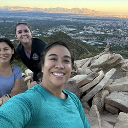
This hike is special! Don't let the packed parking lot make you not go do this one! It's not that bad/busy, even if the parking makes you feel like it is. I hike a lot and do a lot of the bigger peaks. This one is great because it's still challenging, but doable for many fitness levels. Today we met a family from New Zealand that couldn't believe the beauty! We are pretty lucky to be so close to this experience! The views are beautiful the entire time! From the start with the river running next to you to the top with the lake and mountain views to the view of salt lake and the great salt lake. I love this hike and make sure I do it at least once a year! read more


First off - I wish more people would review trails.... They are great adventurous outdoor things to do. Now for the trail, having hike this in the beginning of May, this came across as a very three season trail. The elevation gain was close to 2800 and the trail started at the base like a summer trail with streams and green plants, it wound up along the stream and then started climbing until we got about a half mile from the top in which it was snow. There was a snow covered lake at the very top that was stunning. Round-trip is about 6.8 miles if you wander around the lake a little.. read more


Truly amazing trail. Not for beginners. There's still snow at the top near the lake. It took me less than 2 hours to summit. I can't wait to come here again when the snow has melted. Parking lot at Mill B South will fill up after 9am. read more


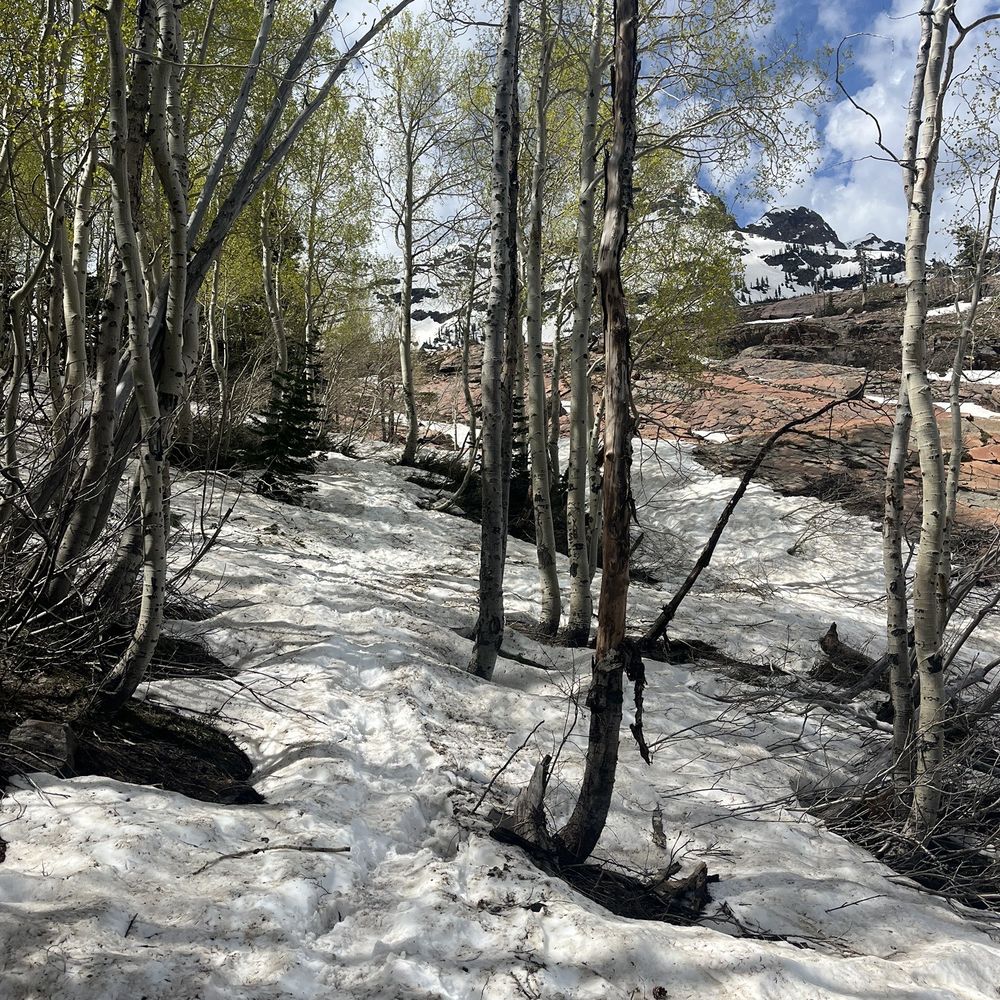


Hiked 6/6/22 With clouds and scattered rain over the valley, I took my chances and headed up the canyon to the Mill B South parking lot. Luck (and the weather!) was absolutely on my side, I was able to snag a parking spot in the lot itself. There are toilets at the trailhead, but just beyond them is a sort-of marked offshoot that will send you rocketing up the side of the mountain to the snowy peaks above you. With minimal mud and snow on the trail, it's as easy going as it can be, with over 2,000 feet gained in elevation as you approach the lake. There are copious wildflowers lining the trail to admire as you gasp for breath, and the canyon always has a breeze to send whisking along your sweaty cheek. The lake itself is stunning. Peaceful, lined with trees and with snow-capped peaks towering above you, it's truly a zen-like place to sit and admire the beauty of nature. This was early on in the season, I'm sure as the days warm the trail will become busier and the snow will melt around the lake. I will say; pack bug spray and re-apply. read more


9 years ago
I'm going to miss you, Blanche. But first, the facts: Getting There This trail departs from the Mill B South Trailhead in Big Cottonwood Canyon. That's listed separately here on Yelp: https://www.yelp.com/biz/mill-b-south-trailhead-salt-lake-city The quick version is that you take the Highway 190 (Big Cottonwood Canyon Rd) about 4.3 miles until you see the sign on the right, at the base of the big S-curve. The Trail The trail is a rigorous 3 miles to the lake, making it a 6-mile round trip out and back hike. Most online sources tell you it's a 6.9-mile trek, but that includes an extra half mile of trail that takes you beyond to Lake Florence and Lake Lillian, and you can go beyond that to scramble up to Sundial Peak. To Blanche, you'll make just over 2700' in elevation, and it's consistently, grindingly uphill. There's nothing technical about the hike, and the trail is a little rocky in spots, but it just climbs and climbs, hence the rigorous rating. It' mostly covered in trees, with a few very exposed areas, especially towards the top. The Destination The namesake, Lake Blanche, is gorgeous. It's surrounded by smooth orange and red rocks, and sits in placid beauty beneath the unmistakable profile of Sundial Peak above. Little fish swim those waters, and the colors of the surrounding foliage light up in the fall. Old names from a hundred years ago are chiseled into the approach, and the old derelict wall and dam still surround it. You'll probably have company as it's a popular hike, but don't forget to press on to Lake Florence and Lillian. They're smaller, steeped in talus slope, but afford a bit more seclusion. Camping is A-OK without permit, but there are rules (see below). Rules Absolutely no pets; Big Cottonwood Canyon is a watershed. No campfires. You're in Twin Peaks Wilderness, so all the normal designated wilderness rules apply (no air/drone travel, bikes, motorized travel, etc) and you should also choose your campsite far enough from the road, trail, and water sources. The good news is, there's no fee for BCC and no fee for the trailhead and hike. Season You can hike the mud in late spring and fall, but its peak season is all summer long. Technically you can hike/snowshoe in winter but it's a slog. The trailhead is open from May-ish to October-ish. As of a week ago, the trailhead was closed despite no snow in the lower elevations. And Now I Wax Poetic I'll miss you, Blanche. My recent visit was the last time I'll see her before the snow flies. There's a bit of sadness in this; what once teemed with life and possibility now enters a dark season of cold isolation. I know it has to be this way--winter has its claim on all things, and this frozen time brings about the possibility of full ponds, rushing rivers, and a new life. But I miss you already. There is no promise I'll be back. My previous hike to the lake was probably close to a decade ago, and while I hoped and wished to come back in those years, circumstances never seemed to allow it. With so many other hikes to see and do, and who knows if I'll be back? So with the impending frost and deep powder, it may very well be that I'll never spend time with sweet Blanche again. And yet. I hope to. I hope that one day, when winter's touch has tamed its strangle on that canyon, and the forest has had the courage to emerge from the icy season of its life, that the glacier lilies will rise from beneath the retreating sheets of snow and there will be flowers once again. I hope everything will be warm, and all the colors will come back and the forest, and if the conditions are right that I'll be ready to once again lace up my shoes and be with you, Blanche. No guarantees. But that's what I hope. read more
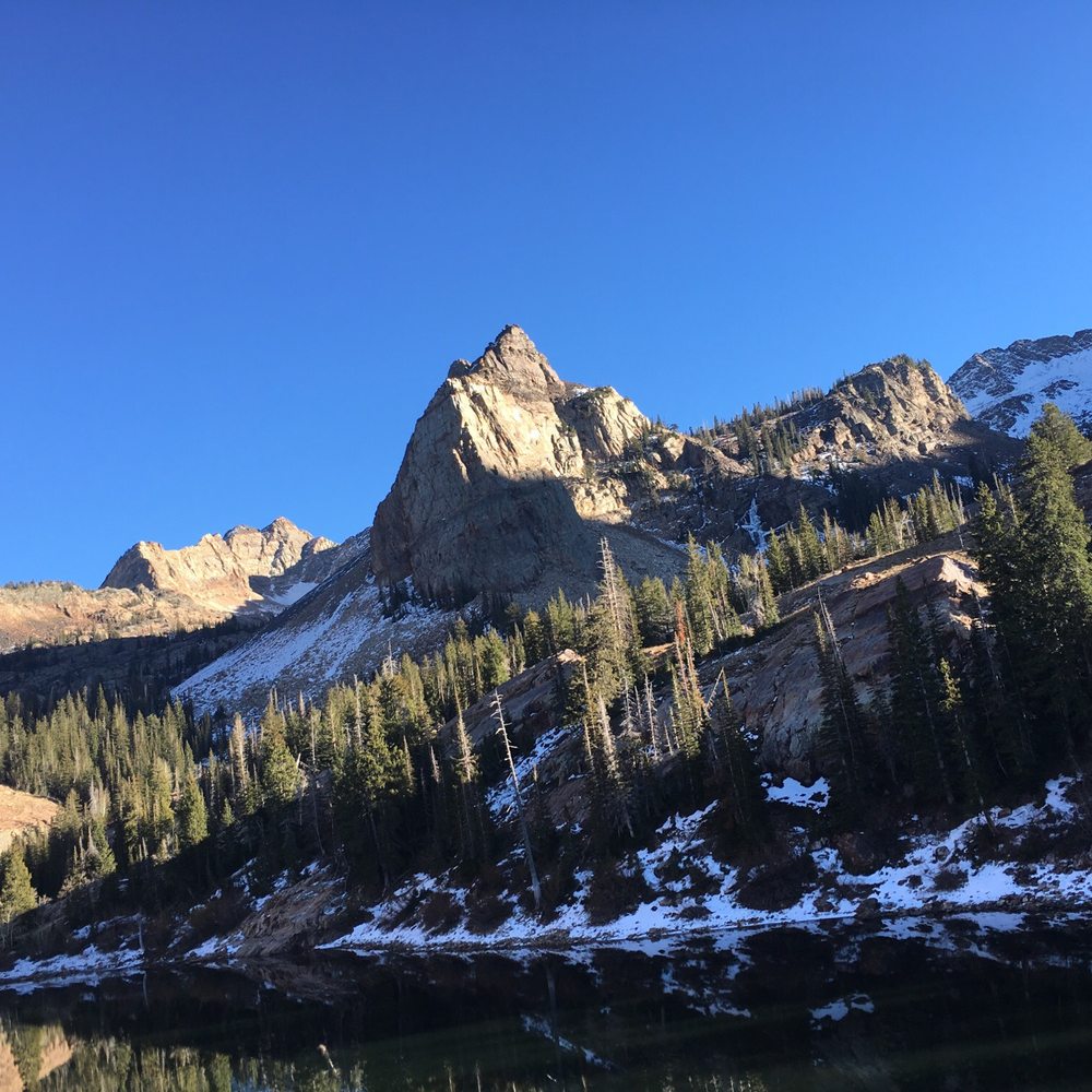


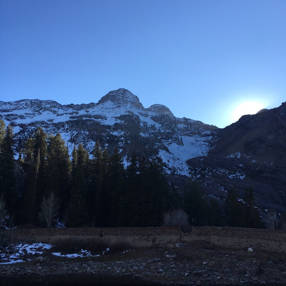
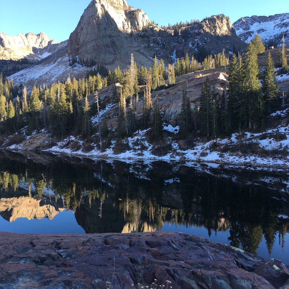


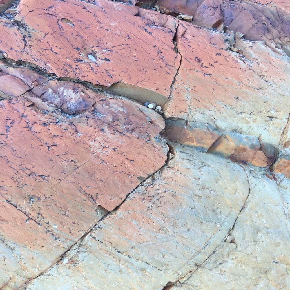
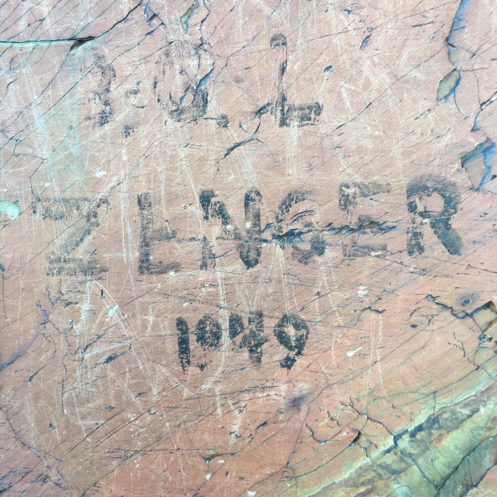

I wish more people would rate hiking trails on Yelp! It would be so convenient to find great hiking trails here. Come on Yelpers, lets band together and do it! Seriously, though, Lake Blanche is my very most favorite hiking trail in the area, and I do quite a bit of hiking. It's a moderate hike at a little over 3 miles to get to the lake, and a decent elevation gain. I hike fairly quickly and we can make it to the lake in about two hours with some short stops. I like it because it doesn't seem quite as busy as other hikes, there is a lot of changing scenery, a beautiful quaking aspen grove, we have seen moose 5 out of 6 times, and the lakes are just GORGEOUS. The first time I got there it seriously took my breath away. Don't just hike to Lake Blanche and head back, either! Sort of behind her are two other smaller lakes, Lake Florence and Lake Lillian. The very farthest Lake from Blanche typically has moose hanging out there. The last time we went we saw three (two bulls, one cow). We backpacked and camped up here one night back in July. It was SO cold (campfires are not allowed). We slept in hammocks (this is a perfect place for hammocks, lots of trees), but our sleeping bags were not warm enough. It was totally our own fault, but a lesson to remember that even in the middle of the Summer the mountains can be almost freezing! A few tips: Make sure and bring lots of water and snacks. We usually have a little sandwich or something when we get to the top, and it's a great reward for the work of hiking. It's a great Summer hike because a lot of it is in the shade, but there are also exposed areas in the sun. The temperature can fluctuate quite a bit, so make sure to be prepared with extra layers that are easy to add or remove. There are at least two trails where you park for the hike and the lot fills up quickly. Once it does people park along the side of the road, but I would recommend arriving early in the morning for parking and also to avoid the heat when hiking in the Summer. My husband teases me about never wanting to do the same hike twice, and it is true that I like to try new hikes most of the time, but I will never ever tire of Lake Blanche. read more


Beautiful hike and one of my favorite in the area! It's definitely a hike so just come prepared with some water and snacks! There's a small parking lot, but I'd suggest getting there a bit early so you don't have to park on the street. Bring a camera because the view is phenomenal! read more


9 years ago
Big Cottonwood Canyon Over 7 miles roundtrip ~2700 ft elevation gain PARKING: At the trailhead, there is limited street parking along the S curve and a few small lots. If coming with multiple cars, it's best to park at the Park and Ride about 4 miles down the canyon (there is another lot too, on Wasatch) and carpool to the trailhead. The trails in this area get extremely busy, especially during summer evenings and weekends. TRAILHEAD: This trail follows the Mill B South Fork trail. Make sure it says South. If you take North, you won't end up at Blanche. Mosey on down the canyon road until you get to the bottom of the S curve to find South. Keep an eye out for the sign within the first few hundred yards that directs to the right for Lake Blanche. My hiking buddies were so deep in conversation, they nearly kept going straight. ENJOYMENT FACTOR: Alltrails rates this as a moderate to hard hike and I'd agree with that. But even non-fit hikers can do this rather steep trail if they allow enough time to take ample breaks to catch their breath. The lake is beautiful and extremely peaceful. We bought a few canned beers and snacks at the 7-11 at the bottom of the canyon and spent around 30 minutes at the lake which we nearly had to ourselves. We got some nice silhouette shots with the impending sunset and made it back down about 30 minutes after it got dark. There's nothing particularly memorable about the hike itself but the reward was awesome. 4/5 GOOD TO KNOW: -No swimming. You'd have to be really brave and from Alaska to even think about it but it's still not allowed. -No pets (as with all Cottonwood canyon trails) -No campfires if you choose to stay overnight, which we plan to do in the height of the summer to capitalize on maximum warmth. -There are also 2 other lakes - Lake Florence and Lake Lillian - in the area that we didn't get to see due to time but may be worth checking out if you aren't in a rush. I believe they are only within a few hundred yards but not visible from Lake Blanche -Sundial Peak not only makes for a beautiful photographic centerpiece from Blanche but is also scalable. Maybe when we come back to camp, we can spend a few hours bagging it. read more


7 years ago
Beautiful trail. We decided to go left before heading up, following the river and found a small little water fall. Super cute and easy to get to. read more

11 years ago
Moderate to difficult trail. Beautiful views the whole hike. Really great area about 3/4 way up where you need to scramble over some boulders, but remember to follow the switchback back to the right! Lots of photo opportunities especially in mid October when aspens were popping. Took a walk around lake Blanche and crossed over a stream teeming with fish. Moose country but didn't see any in this hike. Pack a lunch to enjoy at the top! Next time I'll do sundial peak as well. read more


8 years ago


10 years ago

10 years ago
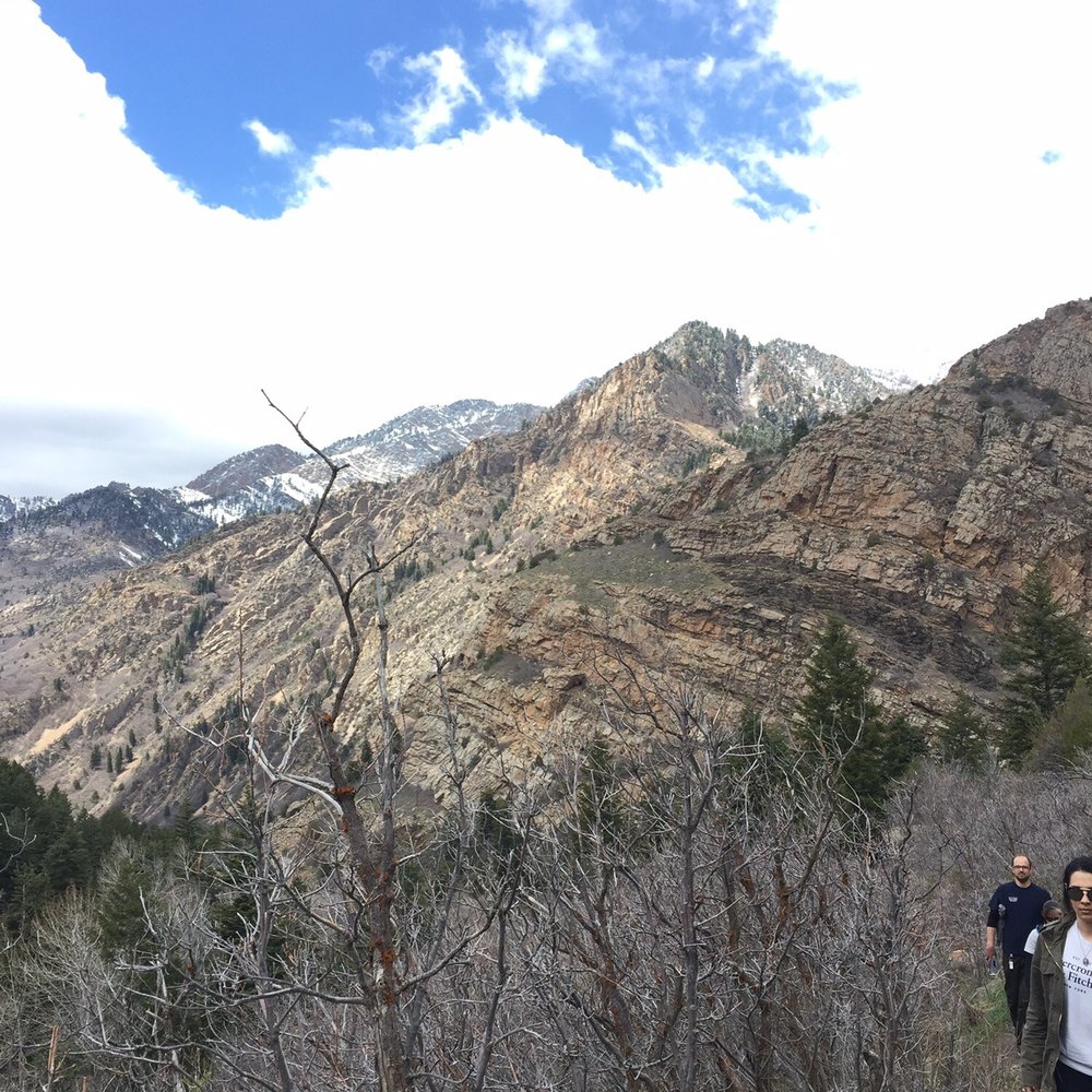
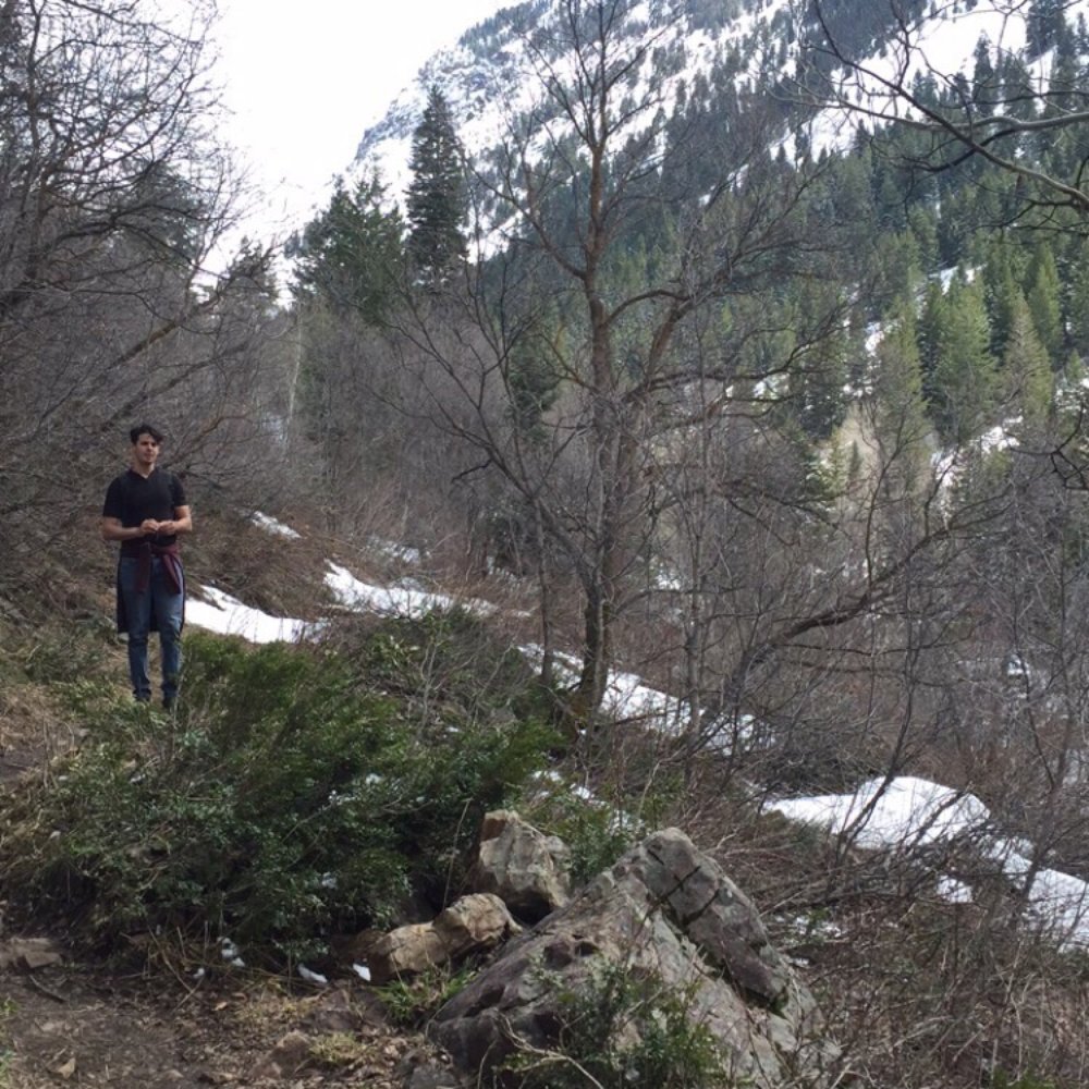
Very long trail. Went in late April. But most beautiful trail I've ever walked. When you thought you made it you actually had to go over another mountain 2 hours later. So we turned back before it was dark. Recommend hiking boots because of snow. But it's nice to take pictures and hopefully we will make it to the lake one day. read more


8 years ago
9 years ago
More info about Lake Blanche Trail
Cache National Forest
Salt Lake City, UT 84121
Directions
(801) 943-1794
Call Now
Hours
Outdoor Amenities
Ask the Community - Lake Blanche Trail
I plan on visiting in early March. I would like to plan for a private or group guided hike one afternoon. Can anyone advise me on a best in class hiking guide company? Thank you in advance!!
Review Highlights - Lake Blanche Trail
You might also consider
























Lake Blanche Trail - hiking - Updated August 2026
Best of Salt Lake City
People found Lake Blanche Trail by searching for…
Sunset View in Salt Lake City, UT
Swimming Lakes in Salt Lake City, UT
Photo Spots in Salt Lake City, UT
Sunrise View in Salt Lake City, UT
Places to Take Pictures in Salt Lake City, UT
Hiking Trails With Waterfalls in Salt Lake City, UT
Campgrounds in Salt Lake City, UT
Sunrise Hike in Salt Lake City, UT
Scenic Overlook in Salt Lake City, UT
Hammock Park in Salt Lake City, UT
Night Hike in Salt Lake City, UT
Easy Hikes in Salt Lake City, UT
Things to Do in Salt Lake City, UT
Night View in Salt Lake City, UT
Make Out Spot in Salt Lake City, UT
Beautiful Views in Salt Lake City, UT
Hiking With Kids in Salt Lake City, UT
Trending Searches in Salt Lake City, UT
Antiques near Lake Blanche Trail
Barbershop For Men near Lake Blanche Trail
Bike Shop near Lake Blanche Trail
Bird Sanctuary near Lake Blanche Trail
Cliff Jumping near Lake Blanche Trail
Consignment Shops near Lake Blanche Trail
Dog Friendly Things To Do near Lake Blanche Trail
Ear Piercing near Lake Blanche Trail
Eyebrow Threading near Lake Blanche Trail
Flower Fields near Lake Blanche Trail
Kids Haircut near Lake Blanche Trail
Lookout Points near Lake Blanche Trail
Mini Golf near Lake Blanche Trail
Pedicure near Lake Blanche Trail
Permanent Makeup near Lake Blanche Trail
Picnic Areas near Lake Blanche Trail
Preschools near Lake Blanche Trail
Public Golf Courses near Lake Blanche Trail
Public Pools near Lake Blanche Trail
Rock Quarry near Lake Blanche Trail
Scenic Night View near Lake Blanche Trail
Scenic Overlook near Lake Blanche Trail
Sunrise View near Lake Blanche Trail
Swimming Holes near Lake Blanche Trail
Trading Card Shops near Lake Blanche Trail
Used Furniture Stores near Lake Blanche Trail
Browse Articles
Browse Nearby
Browse Brands
Related Searches in Salt Lake City, UT
Affordable Kayak Rental Services in Salt Lake City, Utah
Best Dog Hiking Trails Around Salt Lake City, Utah
Best Fishing Locations and Guides in Salt Lake City, Utah
Best Places for Horseback Riding in Salt Lake City, Utah
Best Sightseeing Experiences Available in Salt Lake City, Utah
Check Out Off Road Trails in Salt Lake City, Utah
Discover Dog Friendly Trails to Explore in Salt Lake City, Utah
Discover Kid Friendly Hiking Trails in Salt Lake City, Utah
Discover Popular Bike Trails in Salt Lake City, Utah
Discover Scenic Mountain Bike Trails Near Salt Lake City, Utah
Discover a Hiking Trail in Salt Lake City, Utah
Discover the Best Night Hike Trails in Salt Lake City, Utah
Dog-Friendly Hikes With Dogs in Salt Lake City, Utah
Enjoy Camping Adventures Around Salt Lake City, Utah
Enjoy Kayaking Adventures in Salt Lake City, Utah
Enjoy Off Leash Dog Hikes in Salt Lake City, Utah
Enjoy Scenic Places to Walk in Salt Lake City, Utah
Enjoy Tent Camping Spots Around Salt Lake City, Utah
Enjoy a Beautiful Waterfall Hike in Salt Lake City, Utah
Enjoy the Best Picnic Spots and Ideas in Salt Lake City, Utah
Enjoy the Best Walking Path in Salt Lake City, Utah
Enjoy the Best Walking Trails in Salt Lake City, Utah
Explore Beautiful Parks and Green Spaces in Salt Lake City, Utah
Explore Easy Hikes Perfect for All in Salt Lake City, Utah
Explore Fun Activities to Do in Salt Lake City, Utah
Explore Popular Campgrounds Near Salt Lake City, Utah
Explore Top Dog Parks in Salt Lake City, Utah Near You
Explore the Best Beach Spots in Salt Lake City, Utah
Family Friendly Hiking With Kids in Salt Lake City, Utah
Find Cozy Camping Cabins in Salt Lake City, Utah
Find Popular Ziplining Spots Around Salt Lake City, Utah
Find Top-Rated Waterfalls in Salt Lake City, Utah Now
Find the Best Parks BBQ Grills in Salt Lake City, Utah
Find the Best Parks for Picnics in Salt Lake City, Utah
Find the Best Playgrounds to Visit in Salt Lake City, Utah
Hiking Trails With Waterfalls in Salt Lake City, Utah
Off Leash Dog Hiking Trails in Salt Lake City, Utah
Plan a Scenic Drive Route Near Salt Lake City, Utah
Popular Outdoor Activities to Try in Salt Lake City, Utah
Popular Picnic Spots to Visit in Salt Lake City, Utah
Safe River Swimming Areas in Salt Lake City, Utah
Safe and Fun Parks for Kids in Salt Lake City, Utah
Top Hiking Trails to Explore in Salt Lake City, Utah
Top Playgrounds for Kids to Enjoy in Salt Lake City, Utah
Top Running Trails to Explore in Salt Lake City, Utah
Top Swimming Lakes to Enjoy in Salt Lake City, Utah
Top Swimming Spots and Pools in Salt Lake City, Utah


