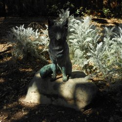
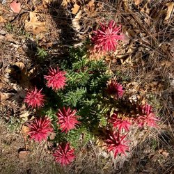
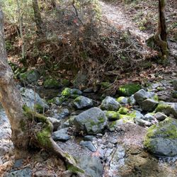
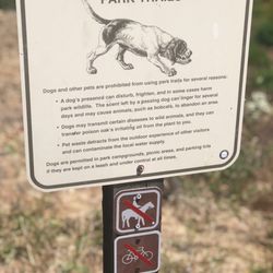
Nob Hill Trail Park Photos


You might also consider


More like Nob Hill Trail Park
Recommended Reviews - Nob Hill Trail Park
Start your review...


Reviews With Photos
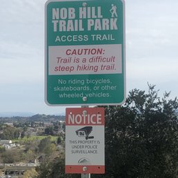

2/23/2019 Saturday It's a cute little park/hiking trail up to a water tank on top of a hill. The trail is very short like a mile at the most, but it's got a bunch of exercise equipment type of thing laid out throughout , and there are some slides you can go down which is fun for the little ones. On Saturday afternoon, we only saw like a dozen people here. Kids seemed to be having a good time going down the slides from top of the hill but you have to come back up on stairs which gives you a good workout. We happened to stumble across this place after exploring the downtown area of Morgan Hill but I wouldn't go out of my way to come here just for this place. The view is not all that great, nothing like from Twin Peaks in San Francisco but pretty nice because it's peaceful and quiet.


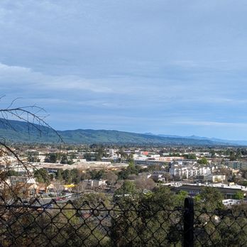
We entered from the very steep paved hill (behind Ladera). It'll test your stamina to go uphill. Once you made it, it has a nice view of Morgan Hill and with 2 slides. The first slide is shorter and the 2nd slide is more windy and longer. It's pretty fun to go down the slides and enjoy the view. You can follow the trail to hike down the other side. It's a great little hiking trail to explore the view and it's not crowded. read more




4 years ago

5 years ago
This is a good park to go to if you like to climb. You go up the trails, and you can see a wide view of the mountains below, as well as the neighborhoods. There are lots of trees and at the top of the trail is the wide water tower. You can get a close look at Mount El Toro, which is Morgan Hill's signature mountain. You can find fitness spots, plus there a couple of slides. Nice to go on when it is overcast, but still enjoyable is it is sunny out. read more


2/23/2019 Saturday It's a cute little park/hiking trail up to a water tank on top of a hill. The trail is very short like a mile at the most, but it's got a bunch of exercise equipment type of thing laid out throughout , and there are some slides you can go down which is fun for the little ones. On Saturday afternoon, we only saw like a dozen people here. Kids seemed to be having a good time going down the slides from top of the hill but you have to come back up on stairs which gives you a good workout. We happened to stumble across this place after exploring the downtown area of Morgan Hill but I wouldn't go out of my way to come here just for this place. The view is not all that great, nothing like from Twin Peaks in San Francisco but pretty nice because it's peaceful and quiet. read more

6 years ago
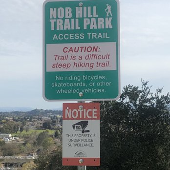
This is a short hike/walk from downtown Morgan Hill and quite strenuous going up and down the steep hills, but well worth it for a quiet escape from town with beautiful views of the city and valley both ways from the top. I love the view from the hill on E. Dunne Ave. and this is similar but from the other side of the valley and towering over downtown, like you're in a highrise building overlooking town, but in the trees. There are also 2 sections of curvy slides for the kids that they'll absolutely love. Shhh, don't tell anyone, but I want to go down the slides next time I'm there too. I'm not sure how my long legs will make the turns, but it'll be worth the try. There's a multistation exercise course on top also. Make sure you find all of the stations, because they're in 3 different locations. read more


6 years ago
More info about Nob Hill Trail Park
62 W 3rd St
Morgan Hill, CA 95037
Directions
Hours
Outdoor Amenities