Picketpost Trail Photos


More like Picketpost Trail
Recommended Reviews - Picketpost Trail
Start your review...


Reviews With Photos
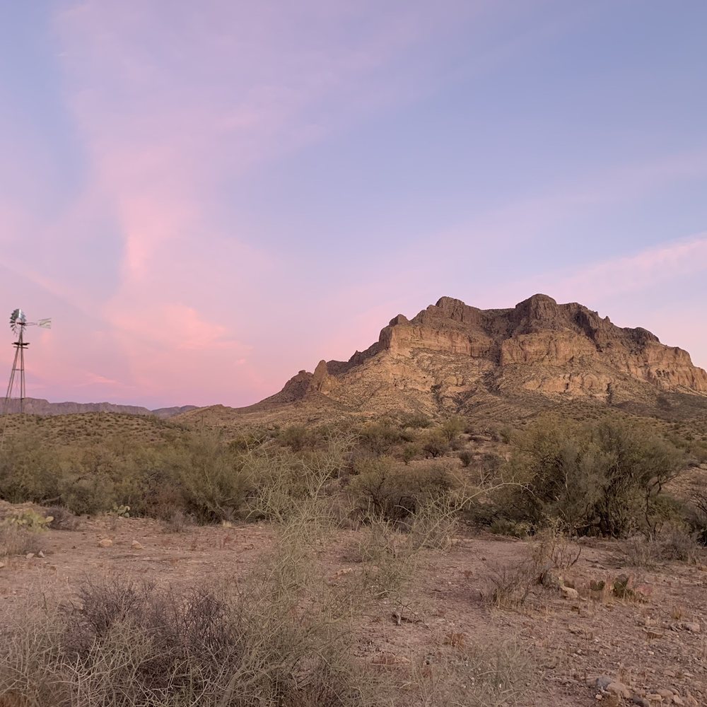

My husband and I hiked this trail on a Saturday in January. We started at 12:30 and it took us about 2 hours to get to the top. The way down also took us about 2 hours. It was exhausting and challenging. It's a great experience.


7 years ago
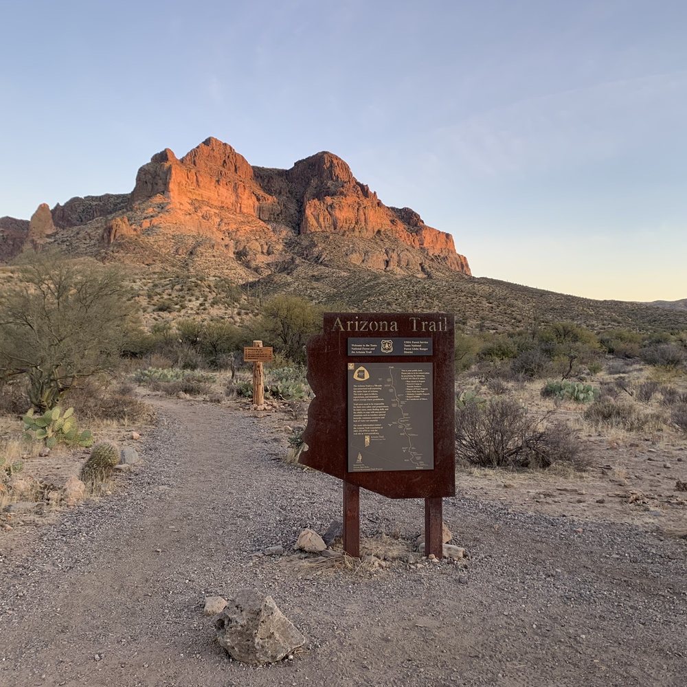
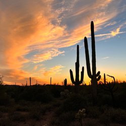
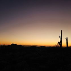
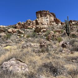
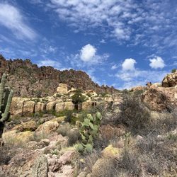
The Picketpost Trailhead gives you access to the Arizona Trail, which traverses the state from Mexico to Utah. We did not hike the Picketpost Trail up the mountain, but instead did an hour out and back along the Arizona Trail. While the scenery at Lost Dutchman State Park east of Phoenix is beautiful, driving the additional 30 minutes east to this trailhead is well worth the extra time. It's less crowded and I found the backdrop of Picketpost Mountain spectacular. If you are new to the Sonoran Desert, you will find the landscape fascinating; there is much more green than you would expect, at least in the winter. Of course, the saguaros are the highlight, and the saguaro sentinels abound up and down the ridges on this stretch of the Arizona Trail. I loved it. Access to the trailhead is on the south side of US60 about five miles west of Superior. There's a sign for the trailhead on the highway. read more


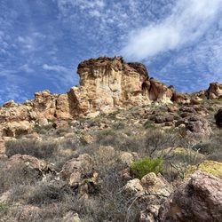
Perfect spot for a challenging hike. From Phoenix area, it is about a 45 minute drive which is nothing at all. You take the 60 all the way until you are about 5 minutes from Superior. You park and the trail is right there. Restrooms to use right where you park which I recommend to use because it is a bit of a longer hike. You start off easy with a little incline, but mostly flat trails. Take in the view of the mountain that you are going to eventually climb up. I thought that was one of the coolest parts seeing the mountain that you are going to struggle climbing up. After about 15-20 minutes you will start the trip up. Let me tell you, a very challenging hike if you are not in the best shape or don't hike often. The tough part was staying on the trail. For the most part, the trail is marked well with arrows to keep you on track, but there were a couple times where we must've taken the wrong turn and had to retrace our steps. Just bud careful and watch your steps as there are some very steep parts. It took us about an hour 30 minutes to get to the top. The views were incredible. Usually you get to the top and look back to see the view, but this was a full 360 degree view. Just an outstanding hike if you want to challenge yourself. I love the accomplishment of doing something new and challenging and not too far away from home. read more


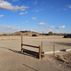
Let me make something clear before I start rambling and raving--Picketpost is not just a hike. It's a guaranteed adventure! You know how they say a picture is worth a thousand words? Well the number of routes to get to the summit are pretty high up there as well. Coming from Phoenix on the I-60, look for signage just before Superior heading eastbound. Turn right onto a heavily worn road which will lead you to the trailhead. NOTE: if you have a sedan like me, be prepared for a bumpy ride! Good thing I just got new tires last week lol. Once you park and start along the trailhead, the important thing is to continue straight until you find the rocks pointing in an arrow to the left (see photo). I made the mistake of swinging left at the first fork approx 3-4 min into the hike and ended up finding myself amongst a pack of cattle all staring at me...yeah pretty intimidating! After about 8 min after swinging left at the proper spot, you reach the nightmarish incline that seems to never end. Some say this hike is equal to Flatiron. I'd say without a doubt Picketpost is much harder. There are spots during the ascent where you have to rock climb and know how to position yourself to avoid slipping and falling. Definitely not for the faint of heart or for those who are afraid of heights! For those who love adventure, it's pretty darn exciting but exhausting at the same time hehe! After what seems like an eternity of climbing/scrambling, you reach the flat summit. Within a few more minutes you are at the red mailbox and convenient metal bench. The 360 view is downright breathtaking and perfect for a photos. Be sure to remember to log your journey in a notebook located inside the mailbox! The descent is almost as hard as the ascent as you really need to watch your feet placement (Gravity is no longer on your side!). Unlike Picacho, there are no cables. One false move or loss of balance and you might be toast. Overall, this hike is excruciating but extremely rewarding. Be careful out there and have a blast! Oh and stay hydrated especially during the warm spring/summer/fall months! read more


6 years ago
My husband and I hiked this trail on a Saturday in January. We started at 12:30 and it took us about 2 hours to get to the top. The way down also took us about 2 hours. It was exhausting and challenging. It's a great experience. read more


12 years ago
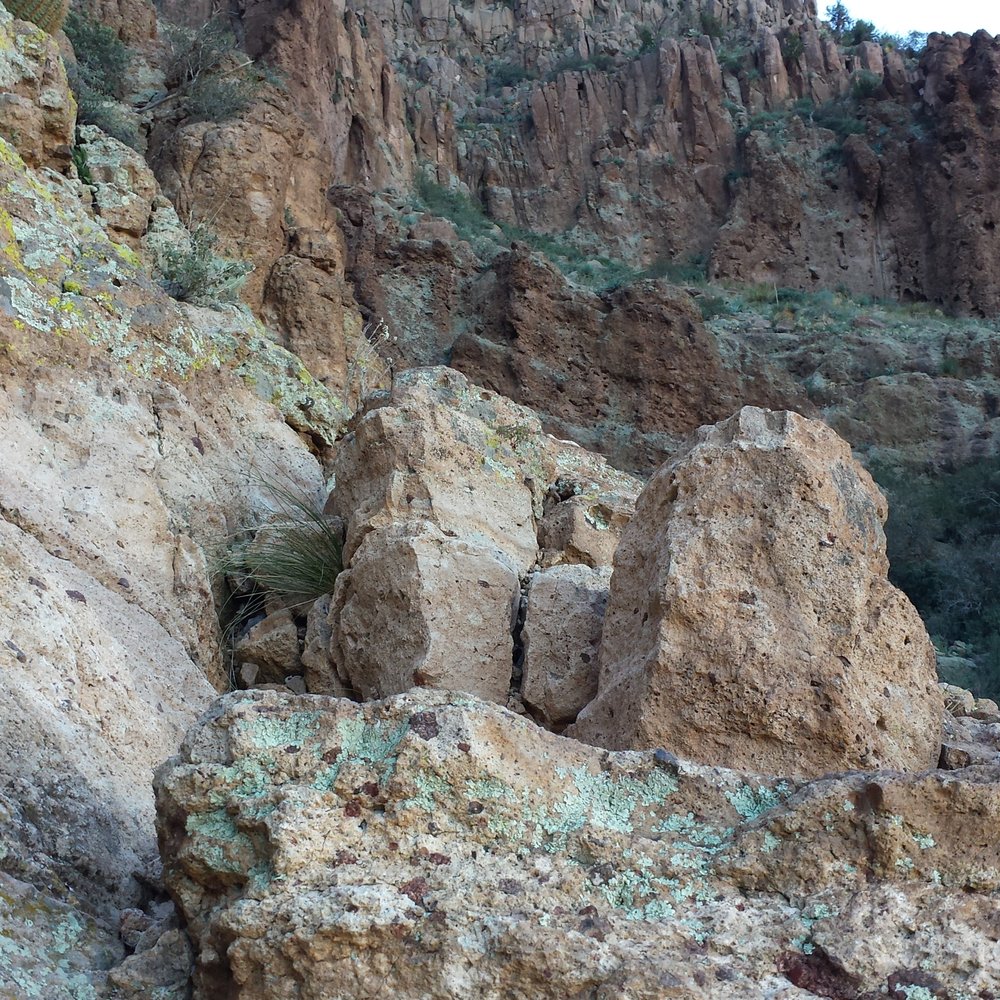
Awesome hike. Turn left at the sign and trail head is about a mile down a worn paved road. This trail took about 3 hours for me with about 15 mins admiring the views at the top. Starts off slow but gets a little tricky the higher up. There are some areas you will need to scramble up which give your arms a workout and heart if you are not great with heights. Make sure to keep focused on locating the cairns or painted markers along the way, I lost the trail a couple of times but it's not hard to find it again. Spectacular 360° views from the top but just as awesome on the way up if you cant make it the whole way. Overall a challenging trail and my legs will be feeling sorry tomorrow but I 100 percent recommend it to anyone. read more



11 years ago

9 years ago


10 years ago

9 years ago

14 years ago

13 years ago

13 years ago
More info about Picketpost Trail
Superior, AZ 85173
Directions
Hours
Outdoor Amenities
Ask the Community - Picketpost Trail
Review Highlights - Picketpost Trail

















Picketpost Trail - hiking - Updated August 2026
Best of Superior
People found Picketpost Trail by searching for…
Places to Take Pictures in Superior, AZ
Off Road Trails in Superior, AZ
Waterfall Hike in Superior, AZ
Paved Walking Trails in Superior, AZ
Beautiful Views in Superior, AZ
Parks for Kids in Superior, AZ
Things to Do on a Rainy Day in Superior, AZ
Hiking Trails Kid Friendly in Superior, AZ
Dog Friendly Trails in Superior, AZ
Running Trails in Superior, AZ
Dog Friendly Parks in Superior, AZ
Trending Searches in Superior, AZ
Bike Shop near Picketpost Trail
Casinos With Slot Machines near Picketpost Trail
Consignment Shops near Picketpost Trail
Dog Friendly Things To Do near Picketpost Trail
Ear Piercing near Picketpost Trail
Eyebrow Threading near Picketpost Trail
Hair Braiding near Picketpost Trail
Kids Haircut near Picketpost Trail
Lookout Points near Picketpost Trail
Mini Golf near Picketpost Trail
Pedicure near Picketpost Trail
Permanent Makeup near Picketpost Trail
Picnic Areas near Picketpost Trail
Preschools near Picketpost Trail
Public Golf Courses near Picketpost Trail
Rock Quarry near Picketpost Trail
Running Trails near Picketpost Trail
Scenic Night View near Picketpost Trail
Scenic Overlook near Picketpost Trail
Sunrise View near Picketpost Trail
Swimming Holes near Picketpost Trail
Trading Card Shops near Picketpost Trail
Used Furniture Stores near Picketpost Trail
Browse Articles
Browse Nearby
Browse Brands
Related Searches in Superior, AZ
Affordable Kayak Rental Services in Superior, Arizona
Affordable Paddle Board Rental in Superior, Arizona
Best Dog Hiking Trails Around Superior, Arizona
Best Fishing Locations and Guides in Superior, Arizona
Best Places for Horseback Riding in Superior, Arizona
Best Water Parks for Kids in Superior, Arizona
Check Out Off Road Trails in Superior, Arizona
Discover Dog Friendly Trails to Explore in Superior, Arizona
Discover Easy Hiking Trails Near Superior, Arizona
Discover Kid Friendly Hiking Trails in Superior, Arizona
Discover Popular Bike Trails in Superior, Arizona
Discover a Hiking Trail in Superior, Arizona
Discover the Best Fishing Lake in Superior, Arizona
Discover the Best Night Hike Trails in Superior, Arizona
Dog-Friendly Hikes With Dogs in Superior, Arizona
Enjoy Camping Adventures Around Superior, Arizona
Enjoy Kayaking Adventures in Superior, Arizona
Enjoy Off Leash Dog Hikes in Superior, Arizona
Enjoy Tent Camping Spots Around Superior, Arizona
Enjoy a Beautiful Waterfall Hike in Superior, Arizona
Enjoy the Best Walking Trails in Superior, Arizona
Explore Beautiful Parks and Green Spaces in Superior, Arizona
Explore Easy Hikes Perfect for All in Superior, Arizona
Explore Fun Activities to Do in Superior, Arizona
Explore Popular Campgrounds Near Superior, Arizona
Explore Top Dog Parks in Superior, Arizona Near You
Explore Top Water Parks in Superior, Arizona Today
Family Friendly Hiking With Kids in Superior, Arizona
Find Cozy Camping Cabins in Superior, Arizona
Find Top Dog Friendly Parks to Visit in Superior, Arizona
Find Top Dog Swimming Spots in Superior, Arizona
Find the Best Parks for Picnics in Superior, Arizona
Find the Best Playgrounds to Visit in Superior, Arizona
Hiking Trails With Waterfalls in Superior, Arizona
Off Leash Dog Hiking Trails in Superior, Arizona
Perfect Spots to Watch Sunset in Superior, Arizona
Plan a Scenic Drive Route Near Superior, Arizona
Popular Picnic Spots to Visit in Superior, Arizona
Safe River Swimming Areas in Superior, Arizona
Top Dog Friendly Things to Do in Superior, Arizona
Top Hiking Trails to Explore in Superior, Arizona
Top Playgrounds for Kids to Enjoy in Superior, Arizona
Top Running Trails to Explore in Superior, Arizona
Top Swimming Lakes to Enjoy in Superior, Arizona
Top Things to Do With Kids in Superior, Arizona
Top-Rated Camping Sites in Superior, Arizona


