Rock Island State Park Photos



You might also consider

More like Rock Island State Park
Recommended Reviews - Rock Island State Park
Start your review...


Reviews With Photos


I went to Rock Island State Park back in October of 2022 and I got to say that this island has to be my favorite state park that I have been to of Door County and I would love to revisit this this beautiful island again in the future.


Camping at Rock Island is perfect for someone that wants to be a bit more secluded than a standard drive-up campsite at a state park, but also less "intense" than true backpacking. The trail around the island is just long enough to get a light workout, but easy enough for most people to handle. The light pollution is minimal at night, so you'll get a much better view of the stars than most other places in Wisconsin. You need to time your transportation correctly with two different ferry rides, but the travel is well worth it. Highly recommend camping at Rock Island to anyone looking to get away from society for a bit.


I lived in Wisconsin for a long time, so I am no stranger to the delights of visiting Door County. I have visited at least once a year for the last 5 years. Rock Island has to be probably the most beautiful location that you can visit in the entire state. The Island once belonged to wealthy Wisconsin industrialist, Chester Thordarson. Most of the buildings contained on the Island now (with the exception of the lighthouse) were used by Thordarson and his family. As you will be able to tell from the tour, the man spared little expense in creating his own little tranquil paradise. The property on the Island is now under the control of the Wisconsin DNR. Getting to Rock Island requires two ferry rides for most of us. You are also allowed the option of mooring your boat to the island's pier, but since I have no boat I have never investigated this. They also allow for snowmobiles across the water in the winter, but this I have also never attempted. The first ferry you take is from Northport Pier on the mainland to Washington Island. Then you have to board another ferry from Jackson Harbor on the North side of Washington Island to take you to Rock Island. I was staying at a rented house on Washington Island anyway on my most recent trip, and this is the best way to do it IMO. No need to rush around to get it all done in a day. One thing you will quickly learn if you have never visited Northern Door County before is people are generally never in a hurry to do anything. Follow their lead and relax and enjoy yourself and your surroundings. Cars are allowed on Washington Island but not on Rock Island. Even bikes are not allowed on Rock Island per the Wisconsin DNR. There is also nowhere to buy any supplies on Rock Island with the exception of firewood and drinking water. So if you plan to camp out like I did you will have to haul most everything you need over on your back. It's 20 bucks for a campsite if you are a Wisconsin resident, and 25 bucks for everyone else. The campsites are basic with no electrical hook ups, and I can tell you from experience that if you have either At&T or T Mobile your cell phone will be completely useless to you this far North anyway. What Rock Island does offer is some of the most beautiful landscapes you have probably ever laid eyes on. Aside from the tour and the lighthouse, there are several miles of hiking trails of varying degrees of difficulty and a very active wildlife and ecosystem to take in. If you take the ferry over in the AM you should be able to knock out most of what you want to see on Rock Island in one day and you can head out the following morning on the ferry back to Washington Island.The Island is less than 1000 acres in total size after all. If you show up on a good day when the weather cooperates, you will have a metric ton of wonderful pictures that are worthy of a post card rendering. Also be sure to take in the spellbinding display of the stars at night from your campsite as this is quite stunning indeed. You are probably located about as far from any light pollution as anywhere in the entire midwest, and taking this in at night is a unique experience.


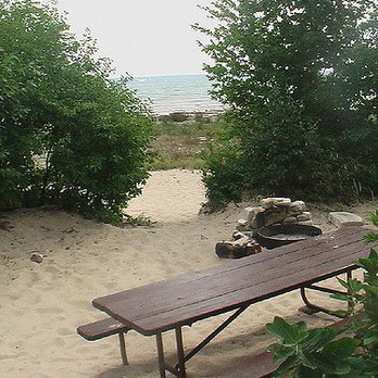
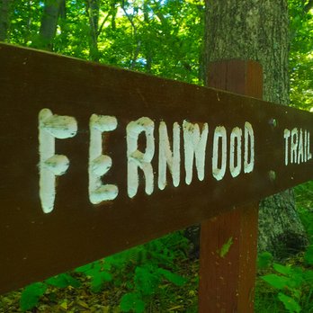
Great state park which is a small island off of Washington Island (which is off of the tip of the peninsula of Door County.) You can camp on the island, although no vehicles of any sort are allowed so you have to take a small ferry to the island and hike with all your equipment and you must bring back your own garbage. The ferry drops you off at the beautiful boat house, and it's as picturesque as it comes. A short hike takes you to a wonderful beach on the east side of the island. To hike all around the island it's really not much more than a few miles. If you are going you will want to check the ferry times to schedule either your day trip or camping trip accordingly. Really gives you a nice feeling of seclusion and beauty at this park.

2 months ago

10 months ago
This island is definitely worth the ferry rides to get there. You can tour the lighthouse and hike the entire island. The lighthouse attendants are so friendly and knowledgeable. Very beautiful place to see. read more


1 year ago
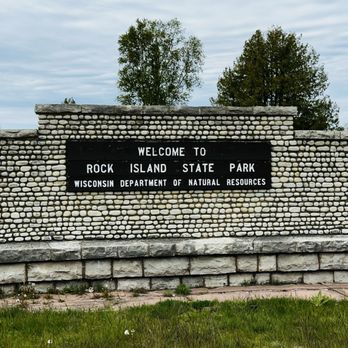
I went to Rock Island State Park back in October of 2022 and I got to say that this island has to be my favorite state park that I have been to of Door County and I would love to revisit this this beautiful island again in the future. read more


Camping at Rock Island is perfect for someone that wants to be a bit more secluded than a standard drive-up campsite at a state park, but also less "intense" than true backpacking. The trail around the island is just long enough to get a light workout, but easy enough for most people to handle. The light pollution is minimal at night, so you'll get a much better view of the stars than most other places in Wisconsin. You need to time your transportation correctly with two different ferry rides, but the travel is well worth it. Highly recommend camping at Rock Island to anyone looking to get away from society for a bit. read more


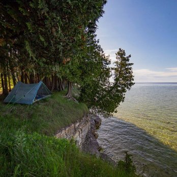

I lived in Wisconsin for a long time, so I am no stranger to the delights of visiting Door County. I have visited at least once a year for the last 5 years. Rock Island has to be probably the most beautiful location that you can visit in the entire state. The Island once belonged to wealthy Wisconsin industrialist, Chester Thordarson. Most of the buildings contained on the Island now (with the exception of the lighthouse) were used by Thordarson and his family. As you will be able to tell from the tour, the man spared little expense in creating his own little tranquil paradise. The property on the Island is now under the control of the Wisconsin DNR. Getting to Rock Island requires two ferry rides for most of us. You are also allowed the option of mooring your boat to the island's pier, but since I have no boat I have never investigated this. They also allow for snowmobiles across the water in the winter, but this I have also never attempted. The first ferry you take is from Northport Pier on the mainland to Washington Island. Then you have to board another ferry from Jackson Harbor on the North side of Washington Island to take you to Rock Island. I was staying at a rented house on Washington Island anyway on my most recent trip, and this is the best way to do it IMO. No need to rush around to get it all done in a day. One thing you will quickly learn if you have never visited Northern Door County before is people are generally never in a hurry to do anything. Follow their lead and relax and enjoy yourself and your surroundings. Cars are allowed on Washington Island but not on Rock Island. Even bikes are not allowed on Rock Island per the Wisconsin DNR. There is also nowhere to buy any supplies on Rock Island with the exception of firewood and drinking water. So if you plan to camp out like I did you will have to haul most everything you need over on your back. It's 20 bucks for a campsite if you are a Wisconsin resident, and 25 bucks for everyone else. The campsites are basic with no electrical hook ups, and I can tell you from experience that if you have either At&T or T Mobile your cell phone will be completely useless to you this far North anyway. What Rock Island does offer is some of the most beautiful landscapes you have probably ever laid eyes on. Aside from the tour and the lighthouse, there are several miles of hiking trails of varying degrees of difficulty and a very active wildlife and ecosystem to take in. If you take the ferry over in the AM you should be able to knock out most of what you want to see on Rock Island in one day and you can head out the following morning on the ferry back to Washington Island.The Island is less than 1000 acres in total size after all. If you show up on a good day when the weather cooperates, you will have a metric ton of wonderful pictures that are worthy of a post card rendering. Also be sure to take in the spellbinding display of the stars at night from your campsite as this is quite stunning indeed. You are probably located about as far from any light pollution as anywhere in the entire midwest, and taking this in at night is a unique experience. read more



18 years ago

10 years ago

19 years ago

15 years ago
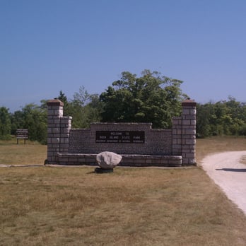
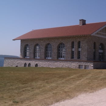
Great state park which is a small island off of Washington Island (which is off of the tip of the peninsula of Door County.) You can camp on the island, although no vehicles of any sort are allowed so you have to take a small ferry to the island and hike with all your equipment and you must bring back your own garbage. The ferry drops you off at the beautiful boat house, and it's as picturesque as it comes. A short hike takes you to a wonderful beach on the east side of the island. To hike all around the island it's really not much more than a few miles. If you are going you will want to check the ferry times to schedule either your day trip or camping trip accordingly. Really gives you a nice feeling of seclusion and beauty at this park. read more



12 years ago

11 years ago

8 years ago

10 years ago
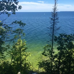
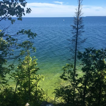
I can't give this five stars because we didn't spend a ton of time here. But what we did experience was amazing! The view cannot be beat! We walked up to the lighthouse which was nice and ended up going down the stairs to the lake. It's exactly like it sounds, stairs that lead to the lake. Very nice addition to the hike. read more

12 years ago

9 years ago

More info about Rock Island State Park
Ask the Community - Rock Island State Park
Review Highlights - Rock Island State Park




















Why does Yelp recommend reviews?

Rock Island State Park - parks - Updated August 2026
Best of Washington Island
People found Rock Island State Park by searching for…
Things to Do in Washington Island, WI
Campgrounds in Washington Island, WI
Beaches in Washington Island, WI
Fun Things to Do With Kids in Washington Island, WI
Hiking Trails in Washington Island, WI
Playgrounds in Washington Island, WI
Cliff Diving in Washington Island, WI
Fishing in Washington Island, WI
Watch Sunset in Washington Island, WI
Water Parks for Kids in Washington Island, WI
Fishing Spots in Washington Island, WI
Dog Friendly Hiking Trails in Washington Island, WI
Tours in Washington Island, WI
Tent Camping in Washington Island, WI
Public Shower in Washington Island, WI
Places to Take Pictures in Washington Island, WI
Places to Swim in Washington Island, WI
Sunset View in Washington Island, WI
Attractions in Washington Island, WI
Scenic Views in Washington Island, WI
Meteor Shower in Washington Island, WI
Must See in Washington Island, WI
Browse Brands
Browse Articles
People who viewed Rock Island State Park also viewed

Fox Park
8 reviews

Mountain Park & Lookout Tower
7 reviews

School House Beach
30 reviews

Lakeshore Adventures
7 reviews

Newport State Park
31 reviews

Door Bluff Headlands County Park
10 reviews

Island Adventure Company
4 reviews

Sister Bay Beach
2 reviews

Nicolet Beach Rentals
1 review

Death's Door Boat Tours
5 reviews