Seven Bridges Photos


More like Seven Bridges
Recommended Reviews - Seven Bridges
Start your review...


Reviews With Photos


I love hiking in CS.....my first 14er was pikes via the Barr trail...and I have been in love ever since. Seven Bridges is a pleasant little hike that you can take toddlers on. The whole trail follows a lovely stream over ....wait for it.....Seven Bridges. Great parking lot and porta potties ( if there is such a thing). This area has some great great hikes. Highly recommened.


Trail Series, Part 24 "There are stars in the southern sky. Southward as you go. There is moonlight and moss in the trees. Down the seven bridges road." The Eagles While we haven't discovered the road The Eagles were singing about (yet ), I think we may be getting close! "The Seven Bridges Trail" is located in Colorado Springs, Colorado, and criss crosses the North Cheyenne Creek as you make your way up the mountain. While we didn't spot the road The Eagles were singing about during our hike, we sure did enjoy the surrounding beauty before us! Although my running app reported that our round trip was nearly 4 miles and spanned a little more than 2 hours, I have reason to question those measurements. You see, my running app kept "fitness shaming" me by repeatedly "pausing" my workout claiming that my progress up the mountain was so slow that I appeared to be not moving...at ALL! Really??? That's just rude! In order to avoid allowing my insensitive running app to bring me down, I launched into a spontaneous and rousing rendition of "John Jacob Jingleheimer Schmidt", which surprisingly Dana declined to join me in. (Not sure what that was about. Seemed to me that the other hikers were at least amused.) This trail is challenging enough that I would rate it as appropriate for intermediate ability levels or above, and due to the icy conditions that we encountered I'd recommend packing crampon microspikes unless your hike is in the Summer. Also, don't let the temperature in The Springs determine your clothing choices. When we left our hotel it was 49 degrees outside, which dropped to 32 degrees by the time we arrived at the trailhead just 25 minutes later. If you prepare appropriately, this is a terrific hike for those looking for something a little more challenging. And that's...Henry's Take. #fitnessshaming #hikingthesprings #coloradohiking


Had a good time hiking here. It's about a mile from the parking lot to the actual trail so keep that in mind when planning.
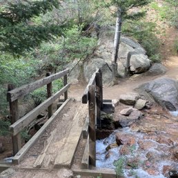

It's fabulous! It's beautiful! Each bridge spurs you on. It's not overly difficult. It runs along a beautiful creek. Is it crick or creek? Creek is a noun that refers to a shallow stream. Crick is an American dialectical variant that is popular in some genres of fiction. Creek is the standard term in all other contexts.


To start off the view is great. But if you go past the 7th bridge and you go up further it can get a little sketchy and steep. But it's a really nice and easy hike


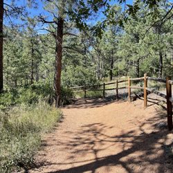
The actual trail is shaded and beautiful! The hike to the trail is, on the other hand, not. It's a .89 mile rocky old service road on the side of the mountain. The scenery is pretty, but it's a long hike (for me) to get to the truly magnificent shady trail. Not enough to deter me from going again, just with a better plan for spending more time there so we could see all seven bridges. It was one of my favorite trails this trip, so check it out!

Beware of the 3/4 mile hike from your car to the trail. The distance may be short, but the lack of shade and large amount of loose gravel can make it tougher than expected. The trail itself is great for just about anyone. Whether you be a pet, kid, adult, or anything without major health concerns (watch out for elevation too), you'll most likely have a wonderful time. I also highly recommend stopping by the nearby visitor center, it has more humming birds in one place than I've ever had the pleasure of seeing.

This is a nice hike for a family or beginners, up to the seventh bridge. The bridges are small but are fun to keep track of on each crossing. Each bridge is numbered. Be sure to veer right versus left when the trail splits in the beginning. Trail is roughly 4 miles in/out. After the seventh bridge, the trail will get harder. It isn't marked very clearly after that point either so be careful. The creek that runs through is pretty. Lots of great photo ops and areas to sit and relax. Con - Parking is horrendous if you don't get here early. The lot is dirt and gravel, uneven. People manage to squeeze in where they can but you probably won't be able to pull around the rows because someone will park at the turn blocking that option. So if you turn in and there's no parking on the rows, you will have to back out because you won't be able to turn around. Turns into a hassle because someone is probably pulling in behind you. Just a heads up.


3 months ago
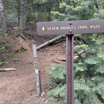
Aww bummer! One of the bridges had a blowdown so we only crossed six; it's okay though, it's still as lovely as I recalled from a previous trip! I took a LEGO mini me, but sadly my not-so-nimble fingers had her never to be seen again. (Sorry about the leave no trace principle!) Everything about this place is amazing! My friend and I follow YouTuber Miranda Goes Outside, so as to pay homage to her, we chanted "Bridge, bridge, bridge, bridge bridge," as we made our way across going out and coming back. We even had our resident hiker friend join us on a couple. lol Seriously, it's a great space and always want to go. Being in Nature is refreshing. read more




1 year ago
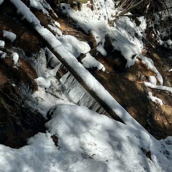
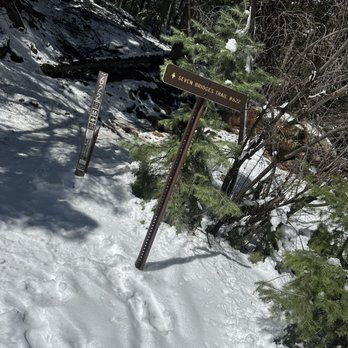
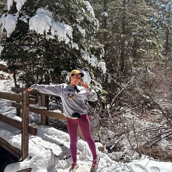
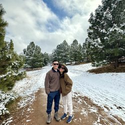
My son and I hiked Seven Bridges trail on Easter morning. This is a very gentle out and back that most any ability can tackle with complete ease. The hike itself was absolutely stunning Sunday morning. The weather had shaped up nicely and while it was covered with snow, it didn't require crampons (I went in trail runners). As snow melted and fell from the pines, it felt like a magical playground. The bridges are all very close to each other, the water rushing along side most of this hike made for the most tranquil morning. I can't imagine this trail being anymore beautiful than it was this past weekend. I've seen glimpses of it in the summer from videos of trail runs and while it's gorgeous then I am so grateful to have experienced it covered in a layer of snow, icicles hanging, sun shining and simply splendid from the moment we parked the car at the trailhead. Highly recommend! read more




11 months ago

I love hiking in CS.....my first 14er was pikes via the Barr trail...and I have been in love ever since. Seven Bridges is a pleasant little hike that you can take toddlers on. The whole trail follows a lovely stream over ....wait for it.....Seven Bridges. Great parking lot and porta potties ( if there is such a thing). This area has some great great hikes. Highly recommened. read more


3 years ago
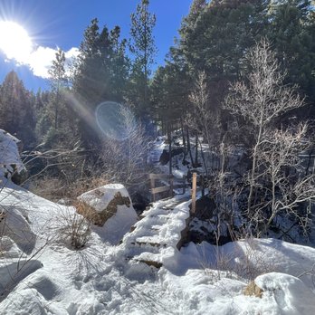
Trail Series, Part 24 "There are stars in the southern sky. Southward as you go. There is moonlight and moss in the trees. Down the seven bridges road." The Eagles While we haven't discovered the road The Eagles were singing about (yet ), I think we may be getting close! "The Seven Bridges Trail" is located in Colorado Springs, Colorado, and criss crosses the North Cheyenne Creek as you make your way up the mountain. While we didn't spot the road The Eagles were singing about during our hike, we sure did enjoy the surrounding beauty before us! Although my running app reported that our round trip was nearly 4 miles and spanned a little more than 2 hours, I have reason to question those measurements. You see, my running app kept "fitness shaming" me by repeatedly "pausing" my workout claiming that my progress up the mountain was so slow that I appeared to be not moving...at ALL! Really??? That's just rude! In order to avoid allowing my insensitive running app to bring me down, I launched into a spontaneous and rousing rendition of "John Jacob Jingleheimer Schmidt", which surprisingly Dana declined to join me in. (Not sure what that was about. Seemed to me that the other hikers were at least amused.) This trail is challenging enough that I would rate it as appropriate for intermediate ability levels or above, and due to the icy conditions that we encountered I'd recommend packing crampon microspikes unless your hike is in the Summer. Also, don't let the temperature in The Springs determine your clothing choices. When we left our hotel it was 49 degrees outside, which dropped to 32 degrees by the time we arrived at the trailhead just 25 minutes later. If you prepare appropriately, this is a terrific hike for those looking for something a little more challenging. And that's...Henry's Take. #fitnessshaming #hikingthesprings #coloradohiking read more



3 years ago
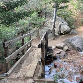
It's fabulous! It's beautiful! Each bridge spurs you on. It's not overly difficult. It runs along a beautiful creek. Is it crick or creek? Creek is a noun that refers to a shallow stream. Crick is an American dialectical variant that is popular in some genres of fiction. Creek is the standard term in all other contexts. read more

2 years ago
To start off the view is great. But if you go past the 7th bridge and you go up further it can get a little sketchy and steep. But it's a really nice and easy hike read more


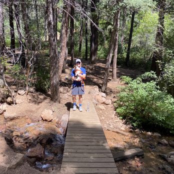
The actual trail is shaded and beautiful! The hike to the trail is, on the other hand, not. It's a .89 mile rocky old service road on the side of the mountain. The scenery is pretty, but it's a long hike (for me) to get to the truly magnificent shady trail. Not enough to deter me from going again, just with a better plan for spending more time there so we could see all seven bridges. It was one of my favorite trails this trip, so check it out! read more



4 years ago
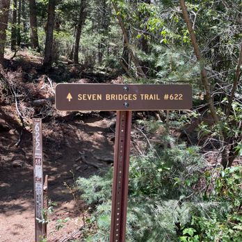
Beware of the 3/4 mile hike from your car to the trail. The distance may be short, but the lack of shade and large amount of loose gravel can make it tougher than expected. The trail itself is great for just about anyone. Whether you be a pet, kid, adult, or anything without major health concerns (watch out for elevation too), you'll most likely have a wonderful time. I also highly recommend stopping by the nearby visitor center, it has more humming birds in one place than I've ever had the pleasure of seeing. read more

2 years ago
6 years ago
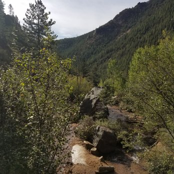
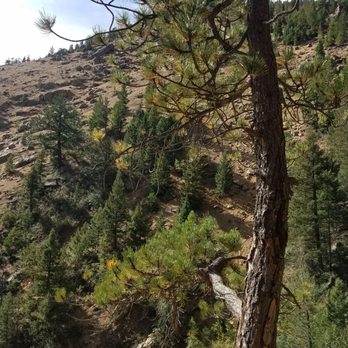
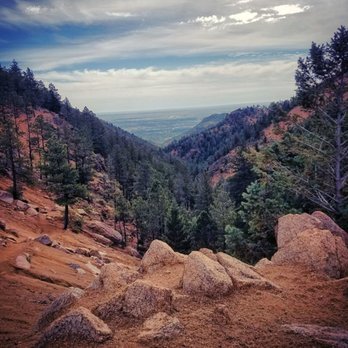
This is a nice hike for a family or beginners, up to the seventh bridge. The bridges are small but are fun to keep track of on each crossing. Each bridge is numbered. Be sure to veer right versus left when the trail splits in the beginning. Trail is roughly 4 miles in/out. After the seventh bridge, the trail will get harder. It isn't marked very clearly after that point either so be careful. The creek that runs through is pretty. Lots of great photo ops and areas to sit and relax. Con - Parking is horrendous if you don't get here early. The lot is dirt and gravel, uneven. People manage to squeeze in where they can but you probably won't be able to pull around the rows because someone will park at the turn blocking that option. So if you turn in and there's no parking on the rows, you will have to back out because you won't be able to turn around. Turns into a hassle because someone is probably pulling in behind you. Just a heads up. read more




6 years ago

3 years ago
5 years ago
Kick ass hike! Great for beginners. We were looking for a hike for out of town guests from sea-level. Seven Bridges did not disappoint. Two thumbs up read more

4 years ago

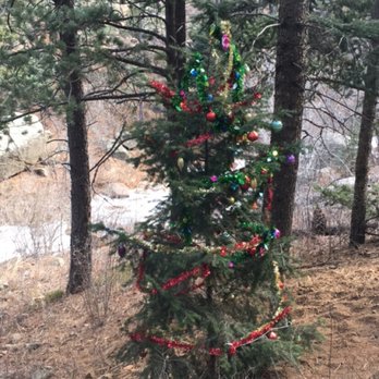
Just did this trail a week ago for the first time. The flowing river is beautiful and peaceful, even in the winter. We encountered approximately 5 people on the trail. It switches back and forth from one side of the river to the other, and of course as you walk along the trail you cross Seven Bridges. Really beautiful spot, I can't wait to return. Be careful when you reach the top, lots of scree rock and steep. read more




7 years ago
4 years ago
6 years ago
7 years ago
More info about Seven Bridges
3440 N Cheyenne Canon Rd
Colorado Springs, CO 80906
Directions
Hours
Indoor Amenities
Outdoor Amenities
Ask the Community - Seven Bridges
Review Highlights - Seven Bridges

















Why does Yelp recommend reviews?
1 review that is not currently recommended
The reviews below are not factored into the business's overall star rating.
7 years ago


