Box Springs Mountain Reserve Photos



You might also consider


More like Box Springs Mountain Reserve
Recommended Reviews - Box Springs Mountain Reserve
Start your review...


Reviews With Photos


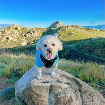
Discover a picturesque location perfect for viewing wildlife in their natural habitat while taking advantage of various walking trail available; note that there is a $5 parking fee but feeding animals like burros or other creatures isn't allowed since they might approach roads searching for humans/food due to being wild - hiked - 3/8/2024


Come for the views. There are a couple things to see here from mustard blooming in the spring, the skyline of Riverside County or wild donkeys. We originally came to check out the walking trails but were pleasantly surprised by all the wild donkeys that inhabit Box Springs Mountain. They mind their own business and walk around the park. This spot has so many different hiking trials that cater to people of different abilities and if you're not in a hiking mood, there are benches to sit on and just enjoy donkey watching. This was such a fun spot to check out and I'll definitely be back!


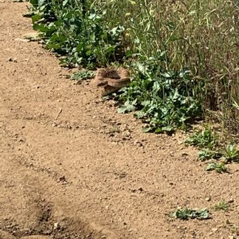
I love this trail and we come very often but today... we saw two rattlesnakes. Please be careful. We were super close to it and almost got bit ): Be safe!!! They are scary and big!
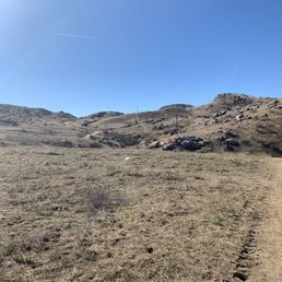

Wow who knew this hidden gem was here?! At least I didn't. After moving to Riverside we have scoured the hike scene for local hikes. This one is right up there. Hidden in Moreno Valley, this hike has beautiful views and great inclines. Parking is pretty good and identified at the base of the hike. There are several paths to take so I'm super excited to go back. We opted for the path right down the middle which was about a 4.5 loop in all. Man, some of those hills really kicked my butt and it felt great. If you are looking for a short but heart beating hike, this one is for you. Great for exercise and I can imagine the hills look lovely in full bloom in spring. The path is also pretty wide which is good if you bring you family or doggie. The day we came was a little hot so good thing we brought doggie bowl and water for our pup. He did get a little pooped. Beautiful city views at the top! Don't pass it up!


New Year's Day hike 2017! New Year's Day hike is my tradition b/c my resolution is to always reach new heights! ;) Box Springs Mountain deff deserves to be my first review in the new year. Came here a little after 10am on 1/1/2017 ready to hike the Big C. To my surprise, the trail was all fenced up. WTH City of Riverside?! Why do you have to act like a big jerk? Even google maps recognize the Big C trail. But you don't want ppl to access this trail?! No biggie. I like a good challenge so I was determined to go up to the C. After walking around for a bit, I discovered three "entrances". So you have to crawl either under the fence or a long tunnel that's about a foot tall. If you are not fit, don't even think about it! I had to show off my yoga moves and was able to make it to the other side of the fence. Woot! Let me tell you, the Big C trail is no joke! It's steep and challenging. Nevertheless I put my crossfit skills to good use and hiked to the C like a boss! It took me about two hours round trip. The trail was much cleaner than I expected probably because it just rained the day before. The scenery was beautiful with blue sky and green grass. There were lots of wild life. I saw birds and even a bunny running around. The view on top of the Box Springs Mountain was spectacular! It was such a great feeling to sit on a big rock, enjoy solitude for a bit, and appreciate nature and the beauty of life. Despite obstacles at the beginning, my New Year's Day hike was a great success. Next time I'll hike the M and the two trees trail! Box Springs Mountain, five star all the way!


My in laws live in Moreno Valley pretty much at the base of the hill. We decided to do this hike the "M". This year there has been record rain and moisture in all of SoCal, meaning there would be plenty of wildflowers and and shrubbery. The hike itself isn't long, I would say about 1.5 miles, but it is pretty steep depending on which path is taken. Vibrant greens, yellows, purple's, and oranges line the trails (right now since it's rained). It's a reminder of what potentially SoCal and Moreno valley would look like. From the top the 360 deg view is striking with views of Riverside, Moreno Valley and throughout the rest of the IE. In short, this trail is one worth doing and doing it soon before summer sets in and heat picks up!
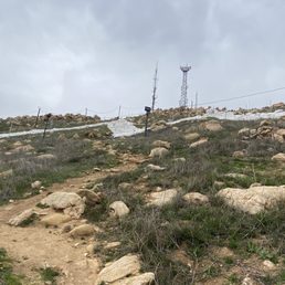


This is a really nice place to get some exercise. There is a good variety if trails. Some vary from hard to moderate. The views stay the same thou. Right now it is summer. Everything is dry and rocks everywhere. Of course there is also the full view of the valley. At the beginning there is a small picnic are with a portable toilet and a good amount of parking. I will say it feels safe. There was a park ranger circulating the area.


Decided to climb it a couple of weeks ago, (I mean literally climb the side of it) and it was fantastic! Got in through a park located on Ironwood, as opposed to the location at Alessandro, (closed for construction), parked my car and was on my way. The ascent was easy enough, though I had to push myself to keep going the last quarter mile. Don't recommend going off the trail unless you can lift yourself and are sure-footed. When you reach the top, there are two trails, the "M" is on your left. After taking in the fresh air and stunning view I found a clearly marked horse trail and took it down. Bring lots of H2O and pour on that sunscreen! Loved every minute of it :)


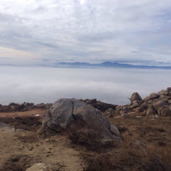
If you know what to expect and do the appropriate preparation, the trails of Box Springs Mountain Park can be very enjoyable, a great and convenient way to not only get some exercise, but to enjoy a wide variety of scenery. It should go without saying that a cool, clear day is best for hiking these trails. There's virtually no shade, and if there is smog or haze, visibility is poor. However, if rains have cleared the air and the temperature is in the 60s or lower, the views can be great. Even on cool days, however, wear a sun hat and bring more water than you think you'll need. The Two Trees Trail is a popular route, expeditiously ascending 1,200 feet in only 1.5 miles. Climbing up the west side of the ridge, the trail showcases passes by some interesting geological formations and takes in some panoramic views of Riverside, the San Gabriel Mountains, the Santa Anas and more. The "M" Trail visits the gigantic white M that is visible from the 60 Freeway in Moreno Valley. Like the Two Trees Trail, it's a quick, steep climb - about 1,300 feet in just under two miles. The trail offers nice views to the east, including San Bernardino, San Gorgonio and San Jacinto Peaks. Ironically, I used to live across the freeway from these mountains, but it never occurred to me to check them out more closely. It just goes to show how many cool things can be right under one's nose.


We entered from the Moreno Valley side. California has had a lot of rain so all of the mountains vegetation is super green and blossoming! We also encountered wild burros that live on that mountain, super awesome experience!! The ground is a bit rough at the hike because the burros constant walking has made the ground uneven, so wear hiking boots. Definitely worth visiting winter months.


This review is specific to the Two Trees Trail: Went up yesterday in the late afternoon. The view was wonderful. It was clear enough so you could see all the way to the hills south of Corona and there was a great view of Mt. Baldy. The spring that is 3/4 of the way up the trail was running well and someone had even cleared a side path to the small waterfall you could always hear but never see until now. The recent rains have not damaged this trail significantly. There is only one place where there is a minor washout but its not the entire trail and you can easily get by. There is a spot where a rock has come loose and is currently lying in the trail but once again you can get by easily. Otherwise just be aware of places where the water has run down the trail leaving small gullies. General Informatin: A relatively steep, well used (especially on weekends) dirt trail that runs from the base of the box springs mountains in Riverside up to just north of the parking area in Box Springs Mountain Park. It is less steep than the trail to the C but is still steeper all the way up than either of the Mount Rubidoux paved routes. I am relatively fit and I can make it to the top in 45-50 min with minor stops to rest and look at the views. Be aware: Coyote packs, Deer, and at least one Bobcat live in the area. Also, as in all the local openspace you need to keep an eye out for snakes in the late spring, summer and fall. To get to the trailhead Exit the I-215 at Blaine Street in Riverside. Go toward the mountain (East). Follow Blaine Street until it becomes residential and keep going until you get to a stop sign (Mount Vernon Ave.). Take the second left (Belvedere) and follow it until you get to Two Trees Road (first paved road going right). Follow Two Trees Road to the end, there will be a parking area on your right for 4 or 5 cars. The trailhead is slightly uphill and to your right as you face north.
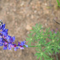

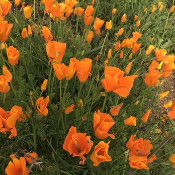
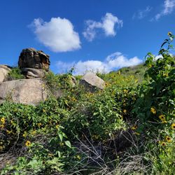
The mountains are calling and I must go! What a gorgeous hike. If you want to see the California Poppy without the hassle of traffic and overcrowding, go to Box Springs Mountain. Parking is 5 dollars and you place it in the drop box at the trail head. Proceeds go to maintain this beautiful mountain and the trails so please be honest and pay your dues. Box Springs has many trails, the trail I took was approximately 4.5 miles. The temperature was perfect, the trail was quite steep.The rain has really given us some beautiful wild flowers. I hope you enjoy the pictures. Please don't take them as your own!
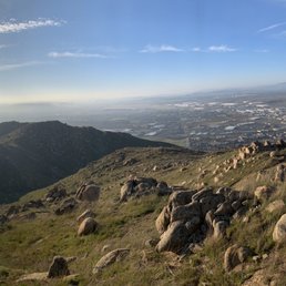

10 months ago
Well, let me tell you... the snake was an added surprise . That side winder was a bit big for my taste! Beyond that, the park is vast..mostly meadows with some steep climbs and rocky facade. Trails were fun, fast and traveled all over around the park. Parking is strict, so follow the rules please. Views are stupendous , the atmosphere was inviting and the experience memorable. Pack light and run to the top! Overall, location facilities atmosphere and availability made this park a 4.25 experience! read more
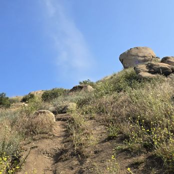


The Mister was on vacation and has always wanted to hike the M mountain in Moval. Sunday morning it's off to the M. What a day, we were greeted by the donkeys and given a little show before we hit the trail. It was a beautiful morning (even though it heated up) and the fresh air up there was perfect. This was my 4th trek up the mountain and his first so we stopped along the trail and just admired the beautiful scenery. From the top of the mountains the surrounding Valley's are beautiful.... We made it to the top in about an hour and 50 minutes. We enjoyed a bite to eat at the M took pictures and headed back down the mountain. It took us about an hour to get back to the car where of course the donkeys were not lounging around in the shade. It was a great day and I'm glad that now when my hubby drives by the M everyday he can look up and say, "I've sat up there and enjoyed the view"...... read more


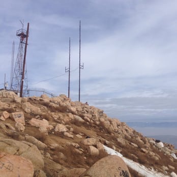
Box Springs is a partially landlocked valley in the hinterland of the Inland Empire (IE). A small range of mountains frames several points of interest and landscape features, including Pigeon Pass Road, Reche Canyon, Blue Mountain, Box Springs Mountain, and the San Timeteo Canyon that goes through the Badlands region. In this case, Box Springs Mountain is notable for the big Moreno Valley 'M' and topped by a series of radio and signal towers to ruin the view. I found, rather, learned from other hikers that there are two approaches from the parking lot. Both start and end on the same dog-leg (lead-in) trail, but the shorter and steeper one diverges after the first climb. I took the longer approach and found it enjoyable and moderately hard at times in the steeper areas where erosion and rocks are hard to establish positive foothold. A hiking pole helps. The switchbacks near the summit are fairly generous in evening out the gradient, and it's possible to cut corners on established trails. Near the top, the soil is more sandy than lower extremes and signifies that this was once an island in prehistoric times. No donkeys on the ascent, but droppings suggest they're there sometimes. I recommend starting early-ish, before 9am. It took under 2 hours there and back, and it's possible to extend the hike along the peaks to the Two Trees Trail a little to the North. Bring plenty of water and something to munch on. read more


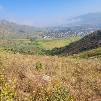

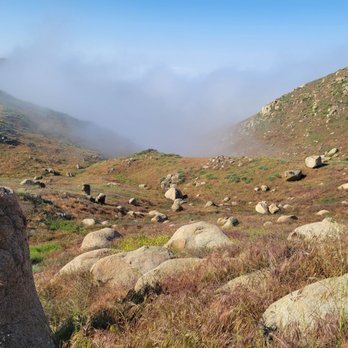


2 years ago
Discover a picturesque location perfect for viewing wildlife in their natural habitat while taking advantage of various walking trail available; note that there is a $5 parking fee but feeding animals like burros or other creatures isn't allowed since they might approach roads searching for humans/food due to being wild - hiked - 3/8/2024 read more



3 years ago
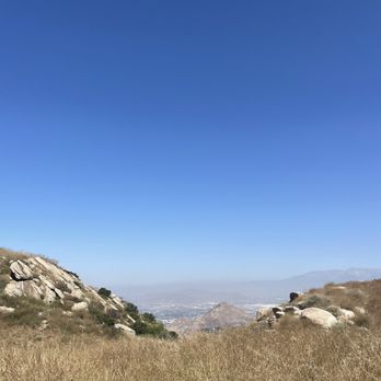
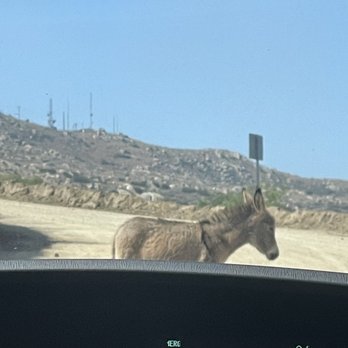
Come for the views. There are a couple things to see here from mustard blooming in the spring, the skyline of Riverside County or wild donkeys. We originally came to check out the walking trails but were pleasantly surprised by all the wild donkeys that inhabit Box Springs Mountain. They mind their own business and walk around the park. This spot has so many different hiking trials that cater to people of different abilities and if you're not in a hiking mood, there are benches to sit on and just enjoy donkey watching. This was such a fun spot to check out and I'll definitely be back! read more





6 years ago
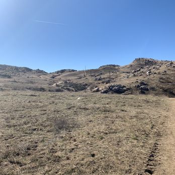
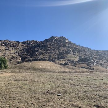
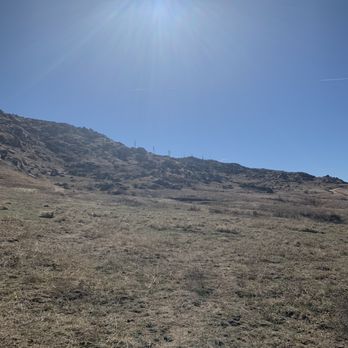
Wow who knew this hidden gem was here?! At least I didn't. After moving to Riverside we have scoured the hike scene for local hikes. This one is right up there. Hidden in Moreno Valley, this hike has beautiful views and great inclines. Parking is pretty good and identified at the base of the hike. There are several paths to take so I'm super excited to go back. We opted for the path right down the middle which was about a 4.5 loop in all. Man, some of those hills really kicked my butt and it felt great. If you are looking for a short but heart beating hike, this one is for you. Great for exercise and I can imagine the hills look lovely in full bloom in spring. The path is also pretty wide which is good if you bring you family or doggie. The day we came was a little hot so good thing we brought doggie bowl and water for our pup. He did get a little pooped. Beautiful city views at the top! Don't pass it up! read more

10 years ago
New Year's Day hike 2017! New Year's Day hike is my tradition b/c my resolution is to always reach new heights! ;) Box Springs Mountain deff deserves to be my first review in the new year. Came here a little after 10am on 1/1/2017 ready to hike the Big C. To my surprise, the trail was all fenced up. WTH City of Riverside?! Why do you have to act like a big jerk? Even google maps recognize the Big C trail. But you don't want ppl to access this trail?! No biggie. I like a good challenge so I was determined to go up to the C. After walking around for a bit, I discovered three "entrances". So you have to crawl either under the fence or a long tunnel that's about a foot tall. If you are not fit, don't even think about it! I had to show off my yoga moves and was able to make it to the other side of the fence. Woot! Let me tell you, the Big C trail is no joke! It's steep and challenging. Nevertheless I put my crossfit skills to good use and hiked to the C like a boss! It took me about two hours round trip. The trail was much cleaner than I expected probably because it just rained the day before. The scenery was beautiful with blue sky and green grass. There were lots of wild life. I saw birds and even a bunny running around. The view on top of the Box Springs Mountain was spectacular! It was such a great feeling to sit on a big rock, enjoy solitude for a bit, and appreciate nature and the beauty of life. Despite obstacles at the beginning, my New Year's Day hike was a great success. Next time I'll hike the M and the two trees trail! Box Springs Mountain, five star all the way! read more



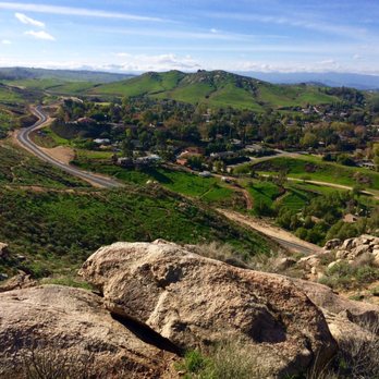


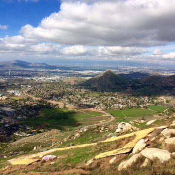

My in laws live in Moreno Valley pretty much at the base of the hill. We decided to do this hike the "M". This year there has been record rain and moisture in all of SoCal, meaning there would be plenty of wildflowers and and shrubbery. The hike itself isn't long, I would say about 1.5 miles, but it is pretty steep depending on which path is taken. Vibrant greens, yellows, purple's, and oranges line the trails (right now since it's rained). It's a reminder of what potentially SoCal and Moreno valley would look like. From the top the 360 deg view is striking with views of Riverside, Moreno Valley and throughout the rest of the IE. In short, this trail is one worth doing and doing it soon before summer sets in and heat picks up! read more



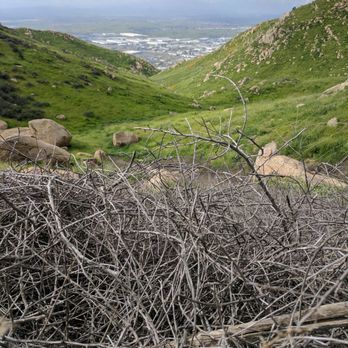


4 years ago
It's a hidden gem of a place. Has hiking for the moderate to somewhat advanced. I would rather come here than Mount Rubidoux. read more
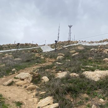

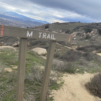


This is a really nice place to get some exercise. There is a good variety if trails. Some vary from hard to moderate. The views stay the same thou. Right now it is summer. Everything is dry and rocks everywhere. Of course there is also the full view of the valley. At the beginning there is a small picnic are with a portable toilet and a good amount of parking. I will say it feels safe. There was a park ranger circulating the area. read more


4 years ago

9 years ago
Decided to climb it a couple of weeks ago, (I mean literally climb the side of it) and it was fantastic! Got in through a park located on Ironwood, as opposed to the location at Alessandro, (closed for construction), parked my car and was on my way. The ascent was easy enough, though I had to push myself to keep going the last quarter mile. Don't recommend going off the trail unless you can lift yourself and are sure-footed. When you reach the top, there are two trails, the "M" is on your left. After taking in the fresh air and stunning view I found a clearly marked horse trail and took it down. Bring lots of H2O and pour on that sunscreen! Loved every minute of it :) read more


14 years ago
If you know what to expect and do the appropriate preparation, the trails of Box Springs Mountain Park can be very enjoyable, a great and convenient way to not only get some exercise, but to enjoy a wide variety of scenery. It should go without saying that a cool, clear day is best for hiking these trails. There's virtually no shade, and if there is smog or haze, visibility is poor. However, if rains have cleared the air and the temperature is in the 60s or lower, the views can be great. Even on cool days, however, wear a sun hat and bring more water than you think you'll need. The Two Trees Trail is a popular route, expeditiously ascending 1,200 feet in only 1.5 miles. Climbing up the west side of the ridge, the trail showcases passes by some interesting geological formations and takes in some panoramic views of Riverside, the San Gabriel Mountains, the Santa Anas and more. The "M" Trail visits the gigantic white M that is visible from the 60 Freeway in Moreno Valley. Like the Two Trees Trail, it's a quick, steep climb - about 1,300 feet in just under two miles. The trail offers nice views to the east, including San Bernardino, San Gorgonio and San Jacinto Peaks. Ironically, I used to live across the freeway from these mountains, but it never occurred to me to check them out more closely. It just goes to show how many cool things can be right under one's nose. read more


We entered from the Moreno Valley side. California has had a lot of rain so all of the mountains vegetation is super green and blossoming! We also encountered wild burros that live on that mountain, super awesome experience!! The ground is a bit rough at the hike because the burros constant walking has made the ground uneven, so wear hiking boots. Definitely worth visiting winter months. read more


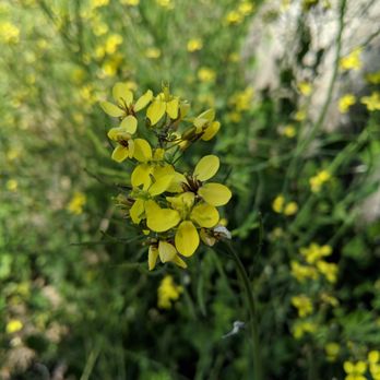


16 years ago
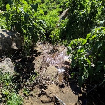
This review is specific to the Two Trees Trail: Went up yesterday in the late afternoon. The view was wonderful. It was clear enough so you could see all the way to the hills south of Corona and there was a great view of Mt. Baldy. The spring that is 3/4 of the way up the trail was running well and someone had even cleared a side path to the small waterfall you could always hear but never see until now. The recent rains have not damaged this trail significantly. There is only one place where there is a minor washout but its not the entire trail and you can easily get by. There is a spot where a rock has come loose and is currently lying in the trail but once again you can get by easily. Otherwise just be aware of places where the water has run down the trail leaving small gullies. General Informatin: A relatively steep, well used (especially on weekends) dirt trail that runs from the base of the box springs mountains in Riverside up to just north of the parking area in Box Springs Mountain Park. It is less steep than the trail to the C but is still steeper all the way up than either of the Mount Rubidoux paved routes. I am relatively fit and I can make it to the top in 45-50 min with minor stops to rest and look at the views. Be aware: Coyote packs, Deer, and at least one Bobcat live in the area. Also, as in all the local openspace you need to keep an eye out for snakes in the late spring, summer and fall. To get to the trailhead Exit the I-215 at Blaine Street in Riverside. Go toward the mountain (East). Follow Blaine Street until it becomes residential and keep going until you get to a stop sign (Mount Vernon Ave.). Take the second left (Belvedere) and follow it until you get to Two Trees Road (first paved road going right). Follow Two Trees Road to the end, there will be a parking area on your right for 4 or 5 cars. The trailhead is slightly uphill and to your right as you face north. read more


7 years ago
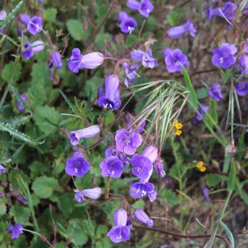
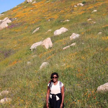
The mountains are calling and I must go! What a gorgeous hike. If you want to see the California Poppy without the hassle of traffic and overcrowding, go to Box Springs Mountain. Parking is 5 dollars and you place it in the drop box at the trail head. Proceeds go to maintain this beautiful mountain and the trails so please be honest and pay your dues. Box Springs has many trails, the trail I took was approximately 4.5 miles. The temperature was perfect, the trail was quite steep.The rain has really given us some beautiful wild flowers. I hope you enjoy the pictures. Please don't take them as your own! read more




7 years ago
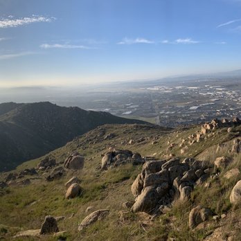
This mountain has some incredible views of Moreno Valley and Riverside. There are multiple ways up the mountain if you want a new experience each time. When we have a rainy season the mountain is filled with beautiful wildflowers. Sometimes there are coyotes and burrows up there depending on the time and day you go. If you're looking for a workout on a steep hike I recommend the M trail. The starting point is at Box Springs Mountain Reserve where you'll find a small parking lot. read more

7 years ago

6 years ago


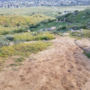


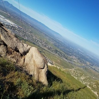


10 years ago
Such a beautiful place to hike, walk or view nature at its best. There are several trails. You can hike to the M or enjoy other trails. Multiple skill level- beginner and a bit more advanced. I've been coming out weekly the past several weeks. I've seen lots of wild burros every visit; they are not shy. With that said you are not supposed to feed them as it makes them come toward the road to look for humans/food. They are wild. Beautiful to take it in and let them do their thing. Lots of other animals too- be careful for snakes! There is a $5 fee to park. read more


7 years ago
This a good medium hike. Me and my friend calculated 5 miles hiking to the M trail (up/down). Its beautiful this time of season because its green and the weather is just perfect on the spring to hike. Always be cautios of snake specially in the summer, havent encounter one though. read more


12 years ago

8 years ago
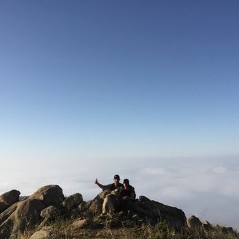
Hiked up here in about 3 hours reached the M, what a view ! Definitely worth the climb .. I love hiking with my dog and boyfriend , make sure you take water and a snack this one read more

8 years ago
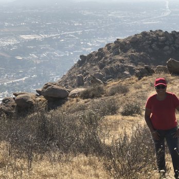
Just having moved to close to the "M" on the mountain in Moreno Valley, my wife and I took up hiking. We have been trying to get to this parking lot for a while now and kept turning back as the road was pretty rough on her car. This time we took my truck and got to the parking lot easy peasy. First thing we notice were the donkeys, lol. Got to love them. Then we set off on Edison trail. After we finished we kept hiking towards the M and antenna farms. We didn't get to finish as we ran out of time but plan on doing it again soon with backpack, grandkids and more time. read more


11 years ago
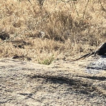
I've been here twice so far and can't wait to go back!! We've seen wild donkeys, lots of birds and roadrunners so far. Beware there is mountain lions, bob cats and snakes here so definitely be careful. Our first time we went down Edison trail pretty easy with lots of scenery. Second time we did the 2 trees trail and almost died!! (Totally exaggerating). Incline is bananas so I suggest if your just getting started definitely start small and work your way up to 2 trees trail when your stamina is up. The board by the picnic tables has maps, warnings and a bunch of other information which seems to be very accurate including how easy or difficult the trails are so definitely use that. I suggest a walking stick, lots of water and a snack if your taking the long trails just incase. Use the restroom before you start because there is no restrooms once you start. All in all this place is quiet and very relaxing to enjoy some hiking with a variety of trails and wild life. You can see the city which is always nice to see! Definitely a great place! read more



14 years ago

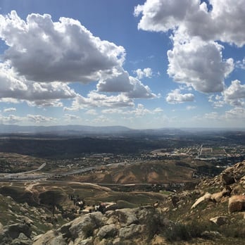
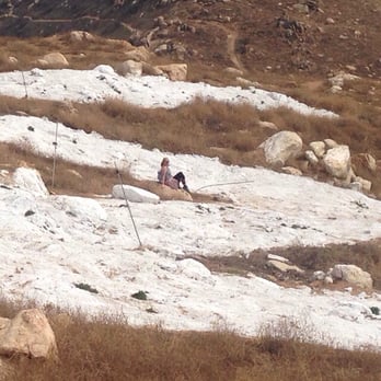
Ok, somehow I had no idea that it cost $5 to park, until I got there. So that's important. The hike is something else, well for me it was a big challenge. We started at the parking lot and both my daughter and I wanted to see the M. I didn't think we would do it today but we arrived at 10 AM and walked up the fire access looking road (few trails were marked well) As we kept climbing the thing that keeps me going is the beauty of what we may or will see. This was didn't disappoint. We got up to those towers and I was impressed. Then we began to question how far we were from the M. We hiked up at least 2 miles and it looked to be another mile to the M on my phone map, but it wasn't that far. Luckily we ran into people that helped us find it as I said, it wasn't marked too well. So lack of directional assistance and shade made me only give it 4 stars. We made it back to the car by 1 PM. Slow up, faster down. This was a hike I talked about doing for years! Glad to mark it off as done. Not sure I would want to do it again but sure glad the weather was great for us today. Not something I could have done in the summer. (I am 270 lbs) We saw lots of odd tracks but only lizards today. read more






17 years ago

17 years ago

12 years ago


10 years ago



11 years ago
As far as hiking goes in riverside this is a pretty nice spot! They have a ton of different trails! My favorite hike to do is to go up two trees walk the back of the mountain and come down the C, it's about a 6 mile loop. When you are walking the back of the mountain you no longer feel like you are in Riverside! It's pretty cool sometimes you can see the wild donkeys and a bob cat that walks around up there. The best time to hike there is after some rain and everything is green! But because we live in riverside most of the time it's pretty brown and dead. But even when everything is dead there is something very peaceful about hiking on this mountain! They also have a ton of huge rocks that are nice to climb around :). If you haven't hiked here you should definitely go :)! read more

10 years ago
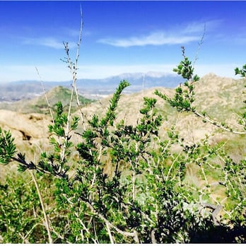
We decided to eat some of my Oatmeal Jane Cookies & get lost in beauty. That's exactly what we did!!! Hahaha next time I am wearing boots for sure so I don't ruin my Nikes when climbing down the Rocky mountains. The incline was perfect bc I could feel every muscle in my legs being used. The best kind of burn We tried the trail but it was a bit boring for me so we headed back to the spring trail and got lost again. Almost ran out of water lmfao I felt like our whole day could have been a movie plot. I noticed a bunch of tagging on rocks & honestly it just didn't go with the rest of the nature. So please, all you tagg artists, don't tagg on anymore. Tagging should be kept to billboards and buildings mmmk. #INeedNature Today was Super exhilarating & adventurous!! read more


7 years ago

11 years ago
Made it to the M (our goal) above the 60 Fwy....It took 1hr & 50mins (3hrs total/10miles) A pretty good workout on the way down. Yay, another one bites the dust! read more


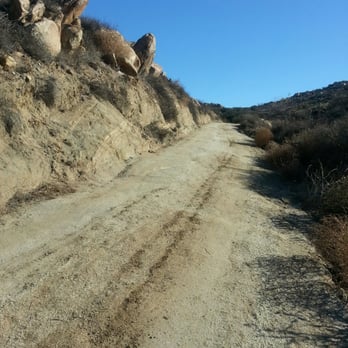
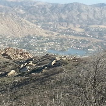


11 years ago
Two crazy miles to the top but well worth the views. Was going to trail run it..... But it was crazy steep. read more

Page 1 of 2
More info about Box Springs Mountain Reserve
Ask the Community - Box Springs Mountain Reserve
Review Highlights - Box Springs Mountain Reserve
You might also consider












Why does Yelp recommend reviews?


Box Springs Mountain Reserve - hiking - Updated September 2026
Best of Moreno Valley
People found Box Springs Mountain Reserve by searching for…
Photo Spots in Moreno Valley, CA
Places to Take Pictures in Moreno Valley, CA
Beautiful Views in Moreno Valley, CA
Hiking Trails With Waterfalls in Moreno Valley, CA
Scenic Views in Moreno Valley, CA
Things to Do in Moreno Valley, CA
Hot Springs in Moreno Valley, CA
Off Road Trails in Moreno Valley, CA
Scenic Drive in Moreno Valley, CA
Secret Spots in Moreno Valley, CA
Scenic Spots in Moreno Valley, CA
Running Trails in Moreno Valley, CA
Walking Trails in Moreno Valley, CA
Sunrise View in Moreno Valley, CA
Picnic Spots in Moreno Valley, CA
Flower Field in Moreno Valley, CA
Sunset View in Moreno Valley, CA
Lakes & Ponds in Moreno Valley, CA
Watch Sunset in Moreno Valley, CA
View Points in Moreno Valley, CA
Trending Searches in Moreno Valley, CA
Apple Orchards near Box Springs Mountain Reserve
Apple Picking near Box Springs Mountain Reserve
Archery near Box Springs Mountain Reserve
Barbershop near Box Springs Mountain Reserve
Blow Dry Bar near Box Springs Mountain Reserve
Caves near Box Springs Mountain Reserve
Cliff Jumping near Box Springs Mountain Reserve
Consignment Shops near Box Springs Mountain Reserve
Corn Maze near Box Springs Mountain Reserve
Dog Friendly Things To Do near Box Springs Mountain Reserve
Dog Swimming near Box Springs Mountain Reserve
Eyebrow Threading near Box Springs Mountain Reserve
Eyelash Extensions near Box Springs Mountain Reserve
Hiking near Box Springs Mountain Reserve
Kids Birthday Party near Box Springs Mountain Reserve
Makeup Artists near Box Springs Mountain Reserve
Mens Suits near Box Springs Mountain Reserve
Off Road Trails near Box Springs Mountain Reserve
Parks near Box Springs Mountain Reserve
Photo Spots near Box Springs Mountain Reserve
Picnic Areas near Box Springs Mountain Reserve
Places To Take Pictures near Box Springs Mountain Reserve
Private Schools near Box Springs Mountain Reserve
Public Shower near Box Springs Mountain Reserve
Rock Quarry near Box Springs Mountain Reserve
Scenic Night View near Box Springs Mountain Reserve
Scenic Overlook near Box Springs Mountain Reserve
Browse Articles
Browse Nearby
BEST of Moreno Valley, California Coffee near Box Springs Mountain Reserve
BEST of Moreno Valley, California Restaurants near Box Springs Mountain Reserve
BEST of Moreno Valley, California Things to Do near Box Springs Mountain Reserve
BEST of Moreno Valley, California Breakfast near Box Springs Mountain Reserve
BEST of Moreno Valley, California Walking Trails near Box Springs Mountain Reserve
BEST of Moreno Valley, California Parks near Box Springs Mountain Reserve
BEST of Moreno Valley, California Campgrounds near Box Springs Mountain Reserve
BEST of Moreno Valley, California Ski Resorts near Box Springs Mountain Reserve
BEST of Moreno Valley, California Motel near Box Springs Mountain Reserve
Browse Brands
Related Searches in Moreno Valley, CA
Best Dog Hiking Trails Around Moreno Valley, California
Best Fishing Locations and Guides in Moreno Valley, California
Best Nature Trails for Hiking in Moreno Valley, California
Best Places for Horseback Riding in Moreno Valley, California
Best Waterfalls and Swimming Holes in Moreno Valley, California
Check Out Off Road Trails in Moreno Valley, California
Discover Dog Friendly Trails to Explore in Moreno Valley, California
Discover Easy Hiking Trails Near Moreno Valley, California
Discover Kid Friendly Hiking Trails in Moreno Valley, California
Discover Popular Bike Trails in Moreno Valley, California
Discover Scenic Mountain Bike Trails Near Moreno Valley, California
Discover Walking Parks in Moreno Valley, California Near You
Discover a Hiking Trail in Moreno Valley, California
Discover the Best Night Hike Trails in Moreno Valley, California
Dog-Friendly Hikes With Dogs in Moreno Valley, California
Enjoy Camping Adventures Around Moreno Valley, California
Enjoy Kayaking Adventures in Moreno Valley, California
Enjoy Off Leash Dog Hikes in Moreno Valley, California
Enjoy Scenic Places to Walk in Moreno Valley, California
Enjoy Tent Camping Spots Around Moreno Valley, California
Enjoy a Beautiful Waterfall Hike in Moreno Valley, California
Enjoy the Best Picnic Spots and Ideas in Moreno Valley, California
Enjoy the Best Walking Path in Moreno Valley, California
Enjoy the Best Walking Trails in Moreno Valley, California
Explore Beautiful Parks and Green Spaces in Moreno Valley, California
Explore Easy Hikes Perfect for All in Moreno Valley, California
Explore Fun Activities to Do in Moreno Valley, California
Explore Picnic Parks Near Moreno Valley, California
Explore Popular Campgrounds Near Moreno Valley, California
Explore Top Dog Parks in Moreno Valley, California Near You
Family Friendly Hiking With Kids in Moreno Valley, California
Find Popular Ziplining Spots Around Moreno Valley, California
Find Top-Rated Waterfalls in Moreno Valley, California Now
Find the Best Parks for Picnics in Moreno Valley, California
Hiking Trails With Waterfalls in Moreno Valley, California
Off Leash Dog Hiking Trails in Moreno Valley, California
Popular Outdoor Activities to Try in Moreno Valley, California
Popular Picnic Spots to Visit in Moreno Valley, California
Popular Waterfall Hiking Trails in Moreno Valley, California
Safe River Swimming Areas in Moreno Valley, California
Safe and Fun Parks for Kids in Moreno Valley, California
Top Hiking Trails to Explore in Moreno Valley, California
Top Playgrounds for Kids to Enjoy in Moreno Valley, California
Top Running Trails to Explore in Moreno Valley, California
Top Swimming Lakes to Enjoy in Moreno Valley, California
Top Swimming Spots and Pools in Moreno Valley, California
Top-Rated Camping Sites in Moreno Valley, California
Walk Dog Friendly Hiking Trails in Moreno Valley, California
Walk the Best Paved Walking Trails in Moreno Valley, California


