Castlewood Canyon State Park Photos


You might also consider


More like Castlewood Canyon State Park
Recommended Reviews - Castlewood Canyon State Park
Start your review...


Reviews With Photos
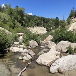

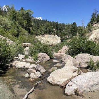
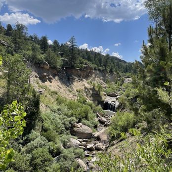
Very cool short and beautiful hike through this state park. We got in for free with the annual parks pass so make sure you use that if you got it while renewing your vehicle registration. Cool waterfalls and nature will await you here in this state park about an hour drive away from Denver!


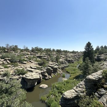
I am trying to go to all the state parks in CO and this led me to visiting Castlewood Canyon! It seems like not too many people know about it because there was only a few other cars in the parking lot and not many people on the trails when we visited. Based on this it is a hidden gem in my opinion. We did the lake gulch and inner canyon trail. What a beautiful trail that goes into the canyon and follows along the river. Lots of wild flowers growing when I visited (June) and it was very green. Lots of cool rock formations! We saw many birds (crane, turkeys, a hawk, and more!). It seems great for rock climbing too. Lots of bolts setup in the rocks. There are trails that are marked climbers access only. Tips: if you come in the summer bring bug spray! Can't wait to visit again!


I returned to Castlewood Canyon State Park today. This time I entered the park through the visitor's center entrance. If you've never been to the visitor's center, I recommend going. It's small and quaint but worth your time. There are public restrooms inside. They have a small gift shop as well as available staff to answer any questions you may have. There are plenty of nearby hiking trails. Make sure you bring plenty of sunscreen, water to stay hydrated and a hat. I was very impressed with the views of the canyon. Make sure you see the amphitheater. Plenty of parking areas and spaces. Be prepared to pay an admission fee too. If you have the annual parks pass make sure you have your vehicle registration because they will ask for it. I highly recommend Castlewood Canyon State Park. Looking forward to my next visit!


Castlewoos Canyon is quickly becoming a place in my rotation of local hikes that are quick to go to. I've been a few times and my one piece of advice is going during the week. The sun is setting later this time of you so I like to go after work, the weekend was just a little too people-y for my taste. They have a variety of trails and you can walk along the canyon and ruins with a gradual elevation change. Best part of all? There is A LOT of tree coverage so if you walk on the west side of the park, you're pretty much covered the entire time. My preference is parking on the west side vs the east side (where the visitors center is). Solid place to hike if you're looking to get away from the hustle and bustle from the Denver area.
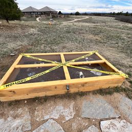

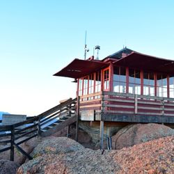
Paid for the parks pass with my car registration so we took advantage of it today. Never visited this park before so I was excited to check the park out. Showed the car registration to the parks volunteer to get inside. We started out at the Bridge Canyon overlook. What a view! The bridge has a cool design. I like the gazebo and stairs design of the overlook building. We went to the Lake Gulch trailhead next. The walk was easy to the Pikes Peak amphitheater. I like the seats here. Cool designs on the wood of the benches. The memorial benches all over the park are so sweet. They also provide seats for resting or admiring the view. The signage is great to learn about the area and also look at the trails. I would like to reserve the amphitheater or the picnic pavilion for a get together. Will have to come back to explore more.


This canyon always leaves me wanting more. I have hiked all 14 trails noted on All Trails. I am enamored with everything this park and the people that maintain it have to offer. The pride that is taken with this park can be seen and felt. Great for solo hikes, friend hikes, and family hikes. Dogs are allowed on some trails, but not all!


This is a great state park with pretty easy terrain to check out. *note there are 2 park entrances. We mistakenly accessed it via the entrance that is further south. There aren't as many trails at this end. That being said, I think that entrance is good for people with mobility issues or small kids who don't want a long hike. From the lot, the paths are paved and it's a short walk for some scenic canyon views. We then drove go the other entrance as we wanted a bit more of a hike and to see the old dam. We then hiked a loop that circled the small canyon there that starts below the old dam. It leads up to the old dam and then you cross over and come back on the other side and across then back down. For the fee and scenery we felt like it was a good shorter day hike that didn't require too much driving.
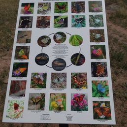

The park is huge (I got about 4 hours of walking in) and can bring you from atop the canyon down to the water. There are remnants of the old dam and a lot of easy places to get into the water. I only came across one short bridge (not in an exciting place) and another area where you can walk/jump across large boulders set up as a bridge (this was a decent area). There is a small waterfall on the West side (I want to say) that you should park near and head SE towards if you want to see it. I approached from the opposite end and didn't see the falls until I was pretty far away from them (behind me). It costs $10 for a day pass and there are a few parking lots. Just watch out since the trails can add up to quite a bit of walking and they don't really loop back the way you'd want them to (more of backtracking to get to the car). I also didn't like that the trails I took along the water were far-enough away that you didn't see the water much of the time. It was easy enough to get closer and see it, but I would have liked the trail to have been as close as possible to the water.


Between COS and Denver, this is a easy commute to a nice park with a number of hiking trails of various difficulties. One can do short hikes to start or end the day, as well as longer ones without having to repeat a trail. There is a dam remains as well as waterway to view as well. If coming from the east, take the 83 north and go to the furthest parking lot to access the trailhead of Lake Gulch to get to the dam. There is some terrain but not much.


Spent almost three hours today hiking close to five miles around the park. This place is amazing. So much to see. Every time we thought we'd seen it all, we turned a corner and saw something else we hadn't seen before. Lots of elevation throughout the trail, and some parts of the trail aren't even trail. Using the AllTrails app is a must. Can't wait to go back. Simply fantastic.


Is spring upon us already? My first Colorado winter has been relatively mild to say the least. I thought I'd be waist deep in snow these last few months. Turns out, we've been able to sneak in weekend hikes around Colorado and I AM HERE FOR IT. With perfect weather this past weekend, I landed on Castlewood Canyon as our hiking destination. According to their website only one trail was closed, and we thought it was among the lesser known state parks, so it wouldn't be too packed early in the morning. The latter was definitely true and much appreciated! However, I wish the attendant would've told us that more than one of the trails were closed. Just common courtesy, right? Especially when I'm coughing up my $9 at the entrance and we're making conversation on how beautiful the weather is! We're a group of happy go lucky individuals, so we made the most of it! The views are extremely gorgeous all around, and even though our hike turned into a glorified sidewalk trail, the views speak for themselves.
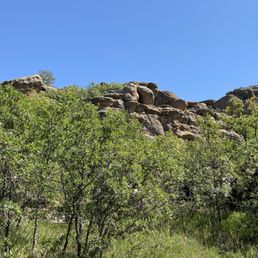

Beautiful state of park with various length hiking options and plenty of overlook spots to stop and enjoy the views.


This is such a beautiful park. There are so many trails. We chose to do Inner Canyon Trail and Lake Gulch. We went in February and the beginning of the trail is muddy and icy going down stairs so you have to be careful. But with a little assistance all of my kids ages 2-10 did it without spikes. The trail has so many different landscapes and views. The river was frozen and it was fun playing on and exploring it. The views were beautiful. There are so many great photo ops. There is an entrance fee. The trail was moderately crowded. But because there's so much to explore, it didn't feel intrusive or like we were constantly bumping into people. There were long stretches that we had the trail to ourselves. I can't wait to come back and explore other trails.
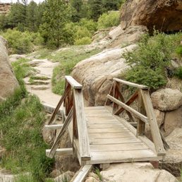

We enjoyed our hike at the gulch trail in Castlewood Canyon State park. It was a beautiful day and there weren't too many people hiking this spot, but still popular. There were a decent amount of spots if you want to stop for a rest, or take the sites. Would recommend a visit! It was beautiful, and an easy hike even in extreme heat. read more


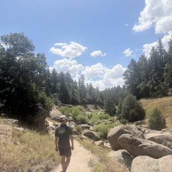

My husband and I really enjoyed our hike here. We went into the canyon and were stunned with how beautiful the area is. We've drove by this state park so many times without stopping. We now see that was a travesty. The park is easy to navigate and has a lot of parking. There are a lot of easy trails to hike throughout the park. The park is also mapped out nicely. read more



11 months ago
It's one of my favorite places to hike and explore. Bring your furry hiking partners, bring your wired kids, bring your dates and your loved ones here. It's the best, lots of trails, lots of picturesque views. And it's only a $10 fee to visit for the day. read more


Very cool short and beautiful hike through this state park. We got in for free with the annual parks pass so make sure you use that if you got it while renewing your vehicle registration. Cool waterfalls and nature will await you here in this state park about an hour drive away from Denver! read more


2 years ago
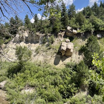
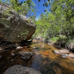
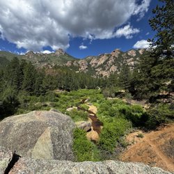
I am trying to go to all the state parks in CO and this led me to visiting Castlewood Canyon! It seems like not too many people know about it because there was only a few other cars in the parking lot and not many people on the trails when we visited. Based on this it is a hidden gem in my opinion. We did the lake gulch and inner canyon trail. What a beautiful trail that goes into the canyon and follows along the river. Lots of wild flowers growing when I visited (June) and it was very green. Lots of cool rock formations! We saw many birds (crane, turkeys, a hawk, and more!). It seems great for rock climbing too. Lots of bolts setup in the rocks. There are trails that are marked climbers access only. Tips: if you come in the summer bring bug spray! Can't wait to visit again! read more


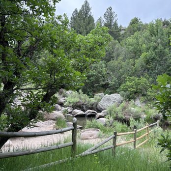

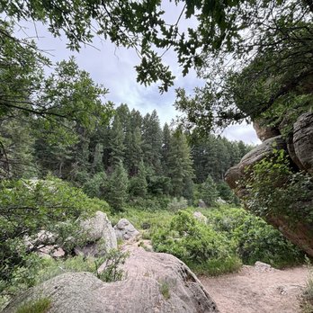

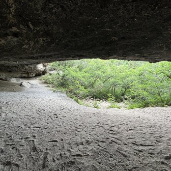


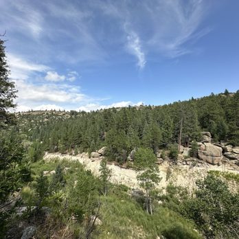
I returned to Castlewood Canyon State Park today. This time I entered the park through the visitor's center entrance. If you've never been to the visitor's center, I recommend going. It's small and quaint but worth your time. There are public restrooms inside. They have a small gift shop as well as available staff to answer any questions you may have. There are plenty of nearby hiking trails. Make sure you bring plenty of sunscreen, water to stay hydrated and a hat. I was very impressed with the views of the canyon. Make sure you see the amphitheater. Plenty of parking areas and spaces. Be prepared to pay an admission fee too. If you have the annual parks pass make sure you have your vehicle registration because they will ask for it. I highly recommend Castlewood Canyon State Park. Looking forward to my next visit! read more






10 months ago

3 years ago
Castlewoos Canyon is quickly becoming a place in my rotation of local hikes that are quick to go to. I've been a few times and my one piece of advice is going during the week. The sun is setting later this time of you so I like to go after work, the weekend was just a little too people-y for my taste. They have a variety of trails and you can walk along the canyon and ruins with a gradual elevation change. Best part of all? There is A LOT of tree coverage so if you walk on the west side of the park, you're pretty much covered the entire time. My preference is parking on the west side vs the east side (where the visitors center is). Solid place to hike if you're looking to get away from the hustle and bustle from the Denver area. read more


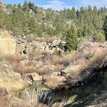


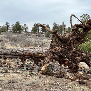
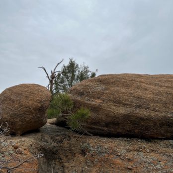
Paid for the parks pass with my car registration so we took advantage of it today. Never visited this park before so I was excited to check the park out. Showed the car registration to the parks volunteer to get inside. We started out at the Bridge Canyon overlook. What a view! The bridge has a cool design. I like the gazebo and stairs design of the overlook building. We went to the Lake Gulch trailhead next. The walk was easy to the Pikes Peak amphitheater. I like the seats here. Cool designs on the wood of the benches. The memorial benches all over the park are so sweet. They also provide seats for resting or admiring the view. The signage is great to learn about the area and also look at the trails. I would like to reserve the amphitheater or the picnic pavilion for a get together. Will have to come back to explore more. read more




3 years ago
This canyon always leaves me wanting more. I have hiked all 14 trails noted on All Trails. I am enamored with everything this park and the people that maintain it have to offer. The pride that is taken with this park can be seen and felt. Great for solo hikes, friend hikes, and family hikes. Dogs are allowed on some trails, but not all! read more


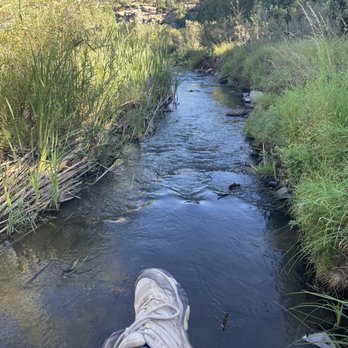

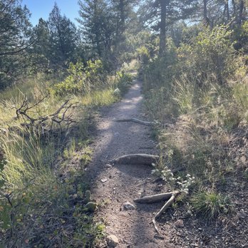

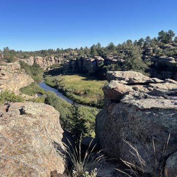


This is a great state park with pretty easy terrain to check out. *note there are 2 park entrances. We mistakenly accessed it via the entrance that is further south. There aren't as many trails at this end. That being said, I think that entrance is good for people with mobility issues or small kids who don't want a long hike. From the lot, the paths are paved and it's a short walk for some scenic canyon views. We then drove go the other entrance as we wanted a bit more of a hike and to see the old dam. We then hiked a loop that circled the small canyon there that starts below the old dam. It leads up to the old dam and then you cross over and come back on the other side and across then back down. For the fee and scenery we felt like it was a good shorter day hike that didn't require too much driving. read more

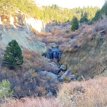

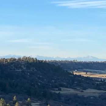
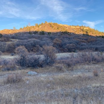


The park is huge (I got about 4 hours of walking in) and can bring you from atop the canyon down to the water. There are remnants of the old dam and a lot of easy places to get into the water. I only came across one short bridge (not in an exciting place) and another area where you can walk/jump across large boulders set up as a bridge (this was a decent area). There is a small waterfall on the West side (I want to say) that you should park near and head SE towards if you want to see it. I approached from the opposite end and didn't see the falls until I was pretty far away from them (behind me). It costs $10 for a day pass and there are a few parking lots. Just watch out since the trails can add up to quite a bit of walking and they don't really loop back the way you'd want them to (more of backtracking to get to the car). I also didn't like that the trails I took along the water were far-enough away that you didn't see the water much of the time. It was easy enough to get closer and see it, but I would have liked the trail to have been as close as possible to the water. read more




3 years ago
Between COS and Denver, this is a easy commute to a nice park with a number of hiking trails of various difficulties. One can do short hikes to start or end the day, as well as longer ones without having to repeat a trail. There is a dam remains as well as waterway to view as well. If coming from the east, take the 83 north and go to the furthest parking lot to access the trailhead of Lake Gulch to get to the dam. There is some terrain but not much. read more


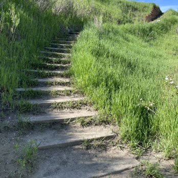


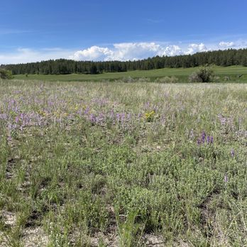


Spent almost three hours today hiking close to five miles around the park. This place is amazing. So much to see. Every time we thought we'd seen it all, we turned a corner and saw something else we hadn't seen before. Lots of elevation throughout the trail, and some parts of the trail aren't even trail. Using the AllTrails app is a must. Can't wait to go back. Simply fantastic. read more


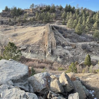
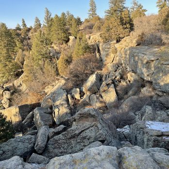

Is spring upon us already? My first Colorado winter has been relatively mild to say the least. I thought I'd be waist deep in snow these last few months. Turns out, we've been able to sneak in weekend hikes around Colorado and I AM HERE FOR IT. With perfect weather this past weekend, I landed on Castlewood Canyon as our hiking destination. According to their website only one trail was closed, and we thought it was among the lesser known state parks, so it wouldn't be too packed early in the morning. The latter was definitely true and much appreciated! However, I wish the attendant would've told us that more than one of the trails were closed. Just common courtesy, right? Especially when I'm coughing up my $9 at the entrance and we're making conversation on how beautiful the weather is! We're a group of happy go lucky individuals, so we made the most of it! The views are extremely gorgeous all around, and even though our hike turned into a glorified sidewalk trail, the views speak for themselves. read more


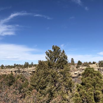


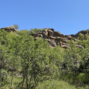


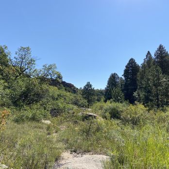

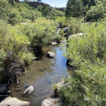
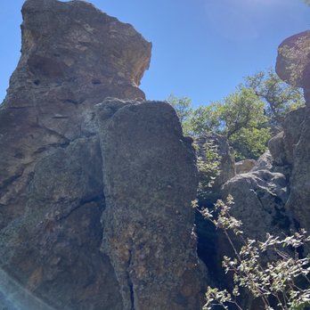
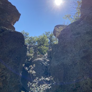


This is such a beautiful park. There are so many trails. We chose to do Inner Canyon Trail and Lake Gulch. We went in February and the beginning of the trail is muddy and icy going down stairs so you have to be careful. But with a little assistance all of my kids ages 2-10 did it without spikes. The trail has so many different landscapes and views. The river was frozen and it was fun playing on and exploring it. The views were beautiful. There are so many great photo ops. There is an entrance fee. The trail was moderately crowded. But because there's so much to explore, it didn't feel intrusive or like we were constantly bumping into people. There were long stretches that we had the trail to ourselves. I can't wait to come back and explore other trails. read more


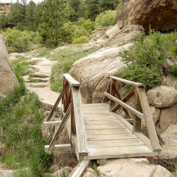
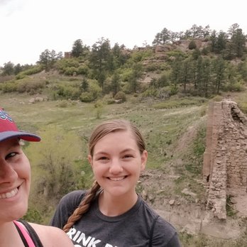
UPDATE! Castlewood Canyon is still one of my favorite state parks! Let's break it down: Star #1 = At just a mere $7 the admission cost will not break the bank. Hooray!! Star #2 = Ruins! Throughout the park there are various trails that will lead you along/through the canyon to a variety of different ruins including an old homestead and a dam. Neat! Star #3 = There's great informative signs throughout the park to point out ways to link together trails and make longer (and more challenging) loop hikes. They also have lots of information about both the wildlife and vegetation! Star #4 = Located roughly an hour south of Denver - it's not too far from the city to make a day trip! Star #5 = Great photo ops all along the various trails! Just keep your eyes peeled and be mindful of the signage! Castlewood Canyon State Park will def continue to be one of my favorite state parks and a go-to hiking/photography destinations. #optoutside read more




3 years ago

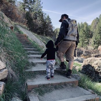
This is a great place for nice easy hikes and close to Denver. A bit more strenuous than a trail walk but not a huge hike. Come early to beat the crowds. We've been twice this month and both times arrived about 8.30am, leaving about 10.30am. And it does start to get busy around mid morning. $9 a visit unless you have an annual state park pass. Our first visit was on Mother's Day with our 2 year old toddler. We went in the east entrance and did the lake gulch trail. He was able to walk a lot of the trail, we helped with the river crossings and there were a few spots that and a steep slope down if he went off the trail edge so we kept him pretty close. The parking lot at the end of the road had flushing toilets and were well kept. Today's visit was with friends and their toddler. We went to the waterfall hike at the west entrance, creek bottom trail. It was a little muddy from the rain yesterday but not too bad. The waterfall was flowing and this trail was a bit steeper than lake gulch so we didn't let the kids walk without holding hands. We also checked out the cave trail. It was steeper again, stairs or rock stairs the whole way up. We let the kids walk up unless they were tired but carried them back down for ease and safety. We parked near the cave trail trailhead and did both hikes from there. The toilets were long drop and less well kept than the east side, no paper in the ladies at all. Overall it's a great place to get our, get fresh air and wear out the kiddos read more







5 years ago
Excellent place to hike. Breathtaking views! The trails are maintained very well, marked so you can find your way and heavily trafficked so you don't feel alone even if you decide to hike by yourself. We always bring our dogs and it's pet friendly. My dogs love splashing through the creek. Watch out for rattlesnakes in the summer. Not too bad, but they are there. read more


This is a great day-use (no camping) park, and not too far from Denver. It doesn't offer the incredible diversity of trails that meander through some of our other state parks, but it still has something for most casual hikers. I completed the East Canyon Loop last weekend, and found it to be an easy/moderate trail that - thanks to all the cairns - was quite easy to follow. If you do this trail, definitely tack on the loop as the stroll through the prairie area is beautiful. Biking isn't allowed on most (all?) of the trails, and there is only a short section that allows horseback riding. If you're coming to rock climb, make sure to check for closure's on the park's website (or, better yet, call) before you head out. Right now, quite a few of the climbing areas seem to be closed for raptor nesting. read more


8 years ago

3 years ago

5 years ago
4 years ago

I love that this canyon is hike-able for all levels. Close to home and perfect for weekday hikes. If you don't have a park pass, the daily entrance fee is $7. Take the east trails for a fabulous loop. Rim Rock is best for the AM and Creek Bottom Trail for the afternoon (where a good breeze can be had). You might even catch a critter or two along the way. read more

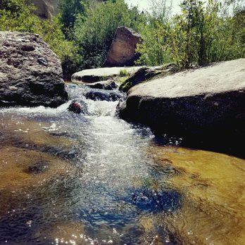
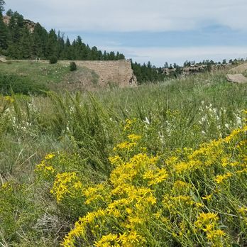

Love this place. It's close to town and has lots of cool ruins to explore. The hike out to the old damn is great. You get to hike along the creek and then get to see the old damn ruins. Gonna go back and hike from one end to the other. The lower side has some cool hiking trails that go right next to the canyon walls. Go in the summer and there's a good chance people will be rock climbing up there. The upper side near the visitor center has easy hiking, a cool lookout over the canyon with the bridge in the background and lots of picnic tables to choose from. Do some research before going as there are 2 separate entrances and the park is slit by some private property and getting from one end to the other is a bit tricky. read more


4 years ago
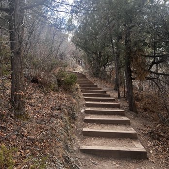
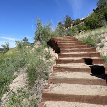
Beautiful canyon views from gazebo above and if you want to hike there's a great rugged trail going down into the valley below. The rugged rail road tie steps going down into the canyon make access easier. But they are not all equal distance apart so be careful. read more


12 years ago
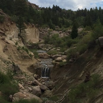
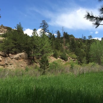
Over the last few years, I've come to discover Colorado's fantastic state parks. This should be a no brainer, but as a transplant, so much of my previous visits involved going to CO's national parks. But these days, I long to be out in nature and enjoy a little solitude away from the crowds. And I'm learning that the best place to do this is at our state parks. A few years ago I was driving toward the Springs via 83 and spotted a random canyon on the west side of the road. I mentally noted this hidden beauty for future exploration. Well last weekend I finally made it! Castlewood Canyon is fairly easy to find, just west of Franktown on Hwy 83, and east of Castle Rock. The landscape is spectacular: a hidden canyon cut out of the rolling hills by the Cherry Creek. There are so many trails that I could keep coming back all summer and never hike them all. You'll find a few locations that are great for picnicking, too. (I'm tempted to come back and just have a big ol' cook out with friends!) And you can bring your pooches here! Bonus! My recommendation for a first trip? Hike the Creek Bottom Trail from the west entrance and you'll discover the ruins of an old homestead and an old dam! James F kept point to bits and pieces of crumbling rocks saying that that was the dam, but holy cow, what a sight when you emerge from the trees and see the real thing! I am still over the moon that Colorado has so many amazing places to explore and escape to nature. And so many along the urban corridor! Castlewood Canyon is a hidden gem that shouldn't be missed. So in honor of my 400th review, I urge you to grab your backpack and lace up your hiking boots! Pro tip! To pay the $7 entrance fee, it is self serve; there are no rangers to take the fees. Bring exact change! read more



3 years ago

When I stopped by Castlewood Canyon a couple of years ago, it was a spontaneous visit on my way back from Pueblo, I only saw a small fraction of this park. I didn't have any idea of how big and treaded it really was. I decided to suggest it as a place to go hike to my son & his girlfriend. I told him that it wasn't really "hiking" as the area I visited was on an incline but not really a trail of any real magnitude. Well, my son did some research before we visited and became more familiar with the place than I did. Castlewood Canyon State Park is approximately 14 miles South (or is that East? I get confused) of Parker, in Franktown. You must stop to get a $7 parking pass at the manned hut or you can drop your money in this box at one of the parking sites & place a tag on your car dashboard. There are about twelve trails ranging from easy to difficult and less than one mile to four. We didn't really pay attention to the difficulty level as we wandered about (sad for me), enjoying the sites, making up emergency sounds, & trying to scare each other with some of the sounds we were hearing as we hiked. What else can I say about this place. It's beautiful. Many of the trails are amidst the trees so, even when it's hot out, you can stay fairly comfortable. Of course, when you get to the top of some of the more difficult trails, there is no coverage, and it sucks ass but it's still serene. Though, there were a lot of huge flies and beetles flying about, we didn't have any problem with mosquitoes or other bugs that make traversing outside miserable. Some of the terrain was a little sketchy but that is part of the thrill... I think.:/ I must say, the Rimrock Trail kicked my ass. However, I am just a baby in the world of hiking. With that said... We shall meet again Rock of Rim, we shall!!!!! read more




8 years ago
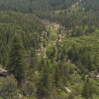
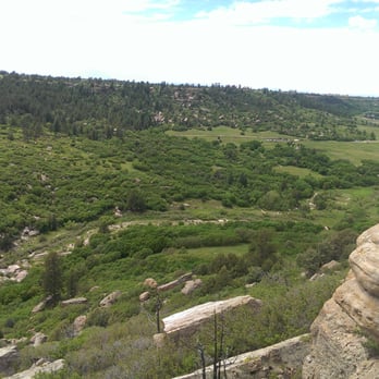
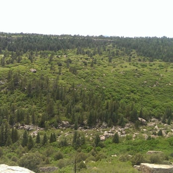
Beautiful little get away. Great place for a hike. Nothing strenuous. Just an easy 4 mile trail. Wish there was over night camping permitted. But with Tables throughout the park, it makes a perfect little picnic spot. read more


3 years ago

Page 1 of 3
More info about Castlewood Canyon State Park
2989 S Hwy 83
Franktown, CO 80116
Directions
(303) 688-5242
Call Now
Visit Website
https://cpw.state.co.us/placestogo/parks/CastlewoodCanyon
Hours
Indoor Amenities
Outdoor Amenities
Other Amenities
Ask the Community - Castlewood Canyon State Park
Are there restrooms?
There are! The Visitor Center has flush restrooms year round, and flush restrooms are available at our main parking lot in the summer. Vault restrooms are available on the West (more remote) side of the park, as well as our main parking lot in the…
Is the $7 admission fee cash only?
one of the reviews says cash only. I haven't been personally.
What is the history of ruins in park?
The remnants of the old homestead stand in the valley, damaged after the dam burst in the early 1900's. Its very easy to get to and visit.…
Review Highlights - Castlewood Canyon State Park



















Castlewood Canyon State Park - parks - Updated August 2026
Best of Franktown
People found Castlewood Canyon State Park by searching for…
Trending Searches in Franktown, CO
Antiques near Castlewood Canyon State Park
Barbershop For Men near Castlewood Canyon State Park
Bird Sanctuary near Castlewood Canyon State Park
Cliff Jumping near Castlewood Canyon State Park
Consignment Shops near Castlewood Canyon State Park
Cruising Spots near Castlewood Canyon State Park
Dog Friendly Beaches near Castlewood Canyon State Park
Dog Friendly Things To Do near Castlewood Canyon State Park
Ear Piercing near Castlewood Canyon State Park
Eyebrow Threading near Castlewood Canyon State Park
Fishing Spots near Castlewood Canyon State Park
Kids Haircut near Castlewood Canyon State Park
Lakes near Castlewood Canyon State Park
Lookout Points near Castlewood Canyon State Park
Mini Golf near Castlewood Canyon State Park
Parks near Castlewood Canyon State Park
Pedicure near Castlewood Canyon State Park
Permanent Makeup near Castlewood Canyon State Park
Picnic Areas near Castlewood Canyon State Park
Places To Walk At Night near Castlewood Canyon State Park
Playgrounds near Castlewood Canyon State Park
Preschools near Castlewood Canyon State Park
Public Golf Courses near Castlewood Canyon State Park
Public Pools near Castlewood Canyon State Park
Public Running Track near Castlewood Canyon State Park
Rock Quarry near Castlewood Canyon State Park
Scenic Night View near Castlewood Canyon State Park
Shopping Malls near Castlewood Canyon State Park
Sunrise View near Castlewood Canyon State Park
Swimming Holes near Castlewood Canyon State Park
Tennis Courts near Castlewood Canyon State Park
Things To Do With Kids near Castlewood Canyon State Park
Trading Card Shops near Castlewood Canyon State Park
Used Furniture Stores near Castlewood Canyon State Park
Browse Nearby
Browse Brands
Related Searches in Franktown, CO
Affordable Kayak Rental Services in Franktown, Colorado
Best Dog Hiking Trails Around Franktown, Colorado
Best Fishing Locations and Guides in Franktown, Colorado
Best Off Leash Dog Parks in Franktown, Colorado
Best Parks for Parties and Events in Franktown, Colorado
Best Places for Horseback Riding in Franktown, Colorado
Best Sightseeing Experiences Available in Franktown, Colorado
Best Water Parks for Kids in Franktown, Colorado
Check Out Great Playgrounds in Franktown, Colorado
Check Out Off Road Trails in Franktown, Colorado
Discover Baseball Fields Around Franktown, Colorado
Discover Dog Friendly Trails to Explore in Franktown, Colorado
Discover Fun Toddler Parks in Franktown, Colorado for Your Little One
Discover Kid Friendly Hiking Trails in Franktown, Colorado
Discover Lakes & Ponds to Explore in Franktown, Colorado
Discover Popular Bike Trails in Franktown, Colorado
Discover Scenic Mountain Bike Trails Near Franktown, Colorado
Discover Soccer Fields in Franktown, Colorado Near You
Discover Top Nature Parks to Visit in Franktown, Colorado
Discover Top State Parks to Visit in Franktown, Colorado
Discover a Hiking Trail in Franktown, Colorado
Discover the Best Beaches in Franktown, Colorado
Discover the Best Kids Park Spots in Franktown, Colorado
Discover the Best Night Hike Trails in Franktown, Colorado
Dog-Friendly Hikes With Dogs in Franktown, Colorado
Enjoy Camping Adventures Around Franktown, Colorado
Enjoy Kayaking Adventures in Franktown, Colorado
Enjoy Off Leash Dog Hikes in Franktown, Colorado
Enjoy Tent Camping Spots Around Franktown, Colorado
Enjoy a Beautiful Waterfall Hike in Franktown, Colorado
Enjoy the Best Picnic Spots and Ideas in Franktown, Colorado
Enjoy the Best Walking Trails in Franktown, Colorado
Explore Beautiful Parks and Green Spaces in Franktown, Colorado
Explore Easy Hikes Perfect for All in Franktown, Colorado
Explore Free Picnic Areas Around Franktown, Colorado
Explore Fun Activities to Do in Franktown, Colorado
Explore Parks With Pull Up Bars in Franktown, Colorado
Explore Picnic Parks Near Franktown, Colorado
Explore Popular Campgrounds Near Franktown, Colorado
Explore Popular Kids Parks Throughout Franktown, Colorado
Explore Popular Picnic Areas Around Franktown, Colorado
Explore Popular RV Parks Around Franktown, Colorado
Explore Popular State Park Destinations in Franktown, Colorado
Explore Scenic Lakes to Visit in Franktown, Colorado
Explore Top Dog Parks in Franktown, Colorado Near You
Explore Top Trampoline Parks in Franktown, Colorado
Explore Top Water Parks in Franktown, Colorado Today


