Helton Creek Falls Photos
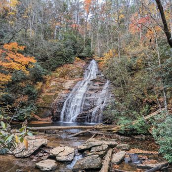


More like Helton Creek Falls
Recommended Reviews - Helton Creek Falls
Start your review...


Reviews With Photos


A beautiful and unique set of falls that is challenging to visit. It does not matter which way your navigation program sends you, it is a rough road to get to these falls. We went in from SR 348 and came out onto US 19. I believe the path is shorter if you come from the US 19 part. The roads are both from 2-5 miles and are single-lane with lots of rocks and bumps. Namely, this is a hard to get to location. Once you arrive, the parking lot is fairly small with only about 6 spots. The falls are visible from the parking lot, just barely. The walking path is not very far (about 200 feet) to arrive at the walkway to get to the falls. The path has almost no handrails and is about 1.5 people wide but it is worth it. The distance from the trailhead to the falls is about 200 yards with the falls easily visible to the left of the path. There are 2 platforms up to the falls with interesting views at each and one path going down. It is worth going to all three viewing areas. We visited during the time when the falls were not very busy (weekdays) and the falls did not have much water flowing (dry season) but it was a wonderful site that I would recommend to visitors in the area.


Helton Creek Falls are two waterfalls located in the Chattahoochee National Forest near Blairsville, Union County, GA. Helton Creek wasn't in our plans to visit when I was in Blairsville, but when we were at Vogel State Park my GPS suggested this place since it was pretty close and I'm glad we decided to go! It's absolutely beautiful, and it's super easy to hike. There is no mobile service once you get deep in the forest, so either have a map ready or screenshot the GPS details just like I did. The trail is very short, and easy. Once you park, you can immediately hear the waterfall and that says a lot. The driving trail can be muddy, and you can get stuck easily so consider this before visiting, other than that both waterfalls were beautiful, and I totally recommend coming here! ESPAÑOL Helton Creek Falls son dos cascadas ubicadas en el bosque nacional Chattahoochee cerca de Blairsville, Condado de Union, GA. Helton Creek no estaba en nuestros planes de visitar cuando estaba en Blairsville, pero cuando estábamos en Vogel State Park, mi GPS sugirió este lugar ya que estaba bastante cerca y me alegro de haber decidido ir. Es absolutamente hermoso y es muy fácil de caminar. No hay servicio móvil una vez que se adentra en el bosque, así que tenga un mapa listo o capture los detalles del GPS como lo hice yo. El sendero es muy corto y fácil. Una vez que se estaciona, puede escuchar inmediatamente la cascada y eso dice mucho. El camino de conducción puede ser fangoso, y puede atascarse fácilmente, así que considere esto antes de visitar, aparte de eso, ambas cascadas eran hermosas, ¡y le recomiendo venir aquí!
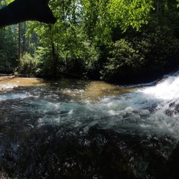

We came in from a side road that had no posted falls sign. We followed our Google Maps and it lead us across the 348 byway. When we for .5 miles from the falls there was a good size creek our small sedan could not safely cross so we hiked the rest. We got to cross two rivers on foot (wear water shoes! We had to take our boots on and off) water was beautiful and freezing! The waterfall at the top was 100% worth the small trek up the mountain.


There are 2 ways to see the falls... stay on 129 and you'll drive up to the parking lot and have a .5 round trip stair climb. Take 180 to Russell Scenic Hwy, then Helton Creek Road. If you have 4WD drive through the two creeks... we chose the adventure route, parked at creek 1 and waded through creek 1 and 2 in our crocks/boots/barefoot/tevas/water shoes, then hiked 1 mile to the top of the falls and 1 mile back. Breathtakingly beautiful and worth it!!!
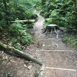

This is how lots of horror movies start. A winding dirt mountain road in the middle of nowhere. And when you're not used to dirt mountain roads, just the drive to the falls is a horror movie in and of itself. The first day Hubs gave up the drive because of my panic attack. I controlled my hysteria enough the second day to make it the 2 miles in. It was worth all the anxiety once we got there. The hike down to the falls is amazingly beautiful - but it's not for those who have issues with squirrelly trails. After a day of horseback riding and hiking, my 4 knee surgery Hubs couldn't have made it down without a walking stick. But, it's pretty much everything you imagine from and out of the way waterfall and swimming spot in the mountains. Rumor has it there's even a portion of the falls you can use as a sliding rock. Just remember to watch your step! And enjoy the fabulous, beautiful North Georgia Mountain outdoors.


*****If driving a truck find another fall******* We drove a truck and passing cars was tough but getting past the cars pulled off the road is very difficult, other drivers do not take you into consideration. The falls are beautiful and many kids sliding on falls. It is a place with people in the falls which makes it hard for pictures. I would recommend a week day for smaller crowds. The walk to the falls is short and you can hike to the upper falls and observation deck.


Great hiking spot! It was a little rainy and we were glad we had a 4 wheel drive truck, but well worth it. We did see a Ford Taurus our there so all vehicles are capable of making it... just a little tougher ride. The falls were gorgeous. Nice moderate to easy hike. Great views along the walk and several fall viewings. Two enthusiastic thumbs up!!


I came here to check out the water fall. Be careful as I recommend a decent SUV/Truck as the gravel road to the trail front can be tricky as I figured out you have to drive through 1-1.5 feet deep water creek to the trail head from Hwy 348. Since I was in a Honda Accord and cutting it close, I opted to turn around and go the other route from Hwy 19. It would of sucked to be stuck in the creek and not have cell phone service to call a tow truck and ruin your car. Now for the trail. It's a short moderate hike of only .6 miles round trip. Now, as far as rating it easy like some of the trail guides online, I would rate it moderate as there are a ton of tree branches in the ground, rocks, and slippery mud/dirt that you can fall down on. The trail is a bit narrow as well. You definitely need to pay attention to where your walking and some decent trail running/hiking foot wear would be nice. There are 2 places where you in see two separate water falls. I enjoyed both of them as you can jump into the water in both. You have to be super careful while walking on the rocks as they are super slippery. I definitely would love to come back and drive through that creek when I get myself a nice off roading vehicle next time!


I've been here twice now. One entrance you go through very narrow unpaved roads and the other you have to Ford a creek, so definitely don't try to do that with a car. We did it with an SUV and it still felt sketchy. It's a short hike to the bottom and top of the falls. There are absolutely no bathrooms anywhere so be prepared! In the warm months you can swim in the creek.

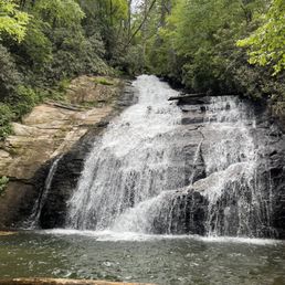

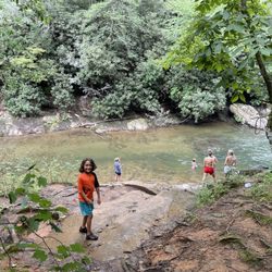
Hidden gem. Perfect place to take family and friends over the years and Vogel is right down the street. Lower falls hosts a shallow wading area and you can slide down the falls by crawling from bottom up to mid area (be cautious). Upper falls have a deep wading area & more space to walk around. Someone must have came in and cleared out the trees that fell in the storms, so it's much safer now. Water is freezing so keep that in mind! Also low riding cars beware. The dirt/gravel road down it's anything extreme, but does have the occasional deep pothole or tire trench from erosion and traffic. Be mindful of them while driving or you'll scrape up the belly of your car. If you're planning photos pack appropriate shoes for the hike down. Some areas can be muddy and if you want to get close, soggy shoes are inevitable & completely worth it. Remember to keep the falls clean & respect wildlife. :) Enjoy!


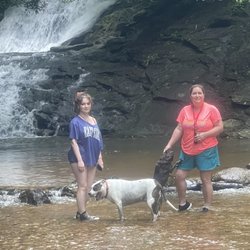
Coming from flat Florida, this place is amazing. Helton creek is great small waterfall that is easy to get to. Hiking to the fall is in not hard and it is easy to do with two kids, grandparents and dog. Definitely worth visiting.
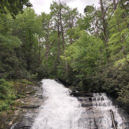

Amazing little treasure. Two ways to get in depending on your sense of adventure. Easier from the top down narrow winding roads than the ones where you have to cross water. Recommend if you like waterfalls. No bathrooms other than nature. Free parking...


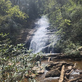

6 months ago

1 year ago

2 years ago

3 years ago
A beautiful and unique set of falls that is challenging to visit. It does not matter which way your navigation program sends you, it is a rough road to get to these falls. We went in from SR 348 and came out onto US 19. I believe the path is shorter if you come from the US 19 part. The roads are both from 2-5 miles and are single-lane with lots of rocks and bumps. Namely, this is a hard to get to location. Once you arrive, the parking lot is fairly small with only about 6 spots. The falls are visible from the parking lot, just barely. The walking path is not very far (about 200 feet) to arrive at the walkway to get to the falls. The path has almost no handrails and is about 1.5 people wide but it is worth it. The distance from the trailhead to the falls is about 200 yards with the falls easily visible to the left of the path. There are 2 platforms up to the falls with interesting views at each and one path going down. It is worth going to all three viewing areas. We visited during the time when the falls were not very busy (weekdays) and the falls did not have much water flowing (dry season) but it was a wonderful site that I would recommend to visitors in the area. read more

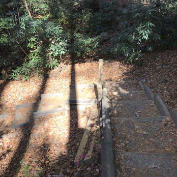


Helton Creek Falls are two waterfalls located in the Chattahoochee National Forest near Blairsville, Union County, GA. Helton Creek wasn't in our plans to visit when I was in Blairsville, but when we were at Vogel State Park my GPS suggested this place since it was pretty close and I'm glad we decided to go! It's absolutely beautiful, and it's super easy to hike. There is no mobile service once you get deep in the forest, so either have a map ready or screenshot the GPS details just like I did. The trail is very short, and easy. Once you park, you can immediately hear the waterfall and that says a lot. The driving trail can be muddy, and you can get stuck easily so consider this before visiting, other than that both waterfalls were beautiful, and I totally recommend coming here! ESPAÑOL Helton Creek Falls son dos cascadas ubicadas en el bosque nacional Chattahoochee cerca de Blairsville, Condado de Union, GA. Helton Creek no estaba en nuestros planes de visitar cuando estaba en Blairsville, pero cuando estábamos en Vogel State Park, mi GPS sugirió este lugar ya que estaba bastante cerca y me alegro de haber decidido ir. Es absolutamente hermoso y es muy fácil de caminar. No hay servicio móvil una vez que se adentra en el bosque, así que tenga un mapa listo o capture los detalles del GPS como lo hice yo. El sendero es muy corto y fácil. Una vez que se estaciona, puede escuchar inmediatamente la cascada y eso dice mucho. El camino de conducción puede ser fangoso, y puede atascarse fácilmente, así que considere esto antes de visitar, aparte de eso, ambas cascadas eran hermosas, ¡y le recomiendo venir aquí! read more

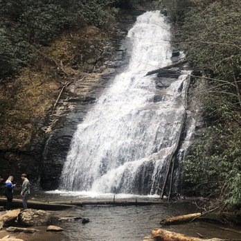


5 years ago
We came in from a side road that had no posted falls sign. We followed our Google Maps and it lead us across the 348 byway. When we for .5 miles from the falls there was a good size creek our small sedan could not safely cross so we hiked the rest. We got to cross two rivers on foot (wear water shoes! We had to take our boots on and off) water was beautiful and freezing! The waterfall at the top was 100% worth the small trek up the mountain. read more
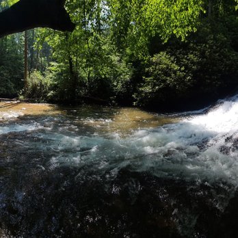

There are 2 ways to see the falls... stay on 129 and you'll drive up to the parking lot and have a .5 round trip stair climb. Take 180 to Russell Scenic Hwy, then Helton Creek Road. If you have 4WD drive through the two creeks... we chose the adventure route, parked at creek 1 and waded through creek 1 and 2 in our crocks/boots/barefoot/tevas/water shoes, then hiked 1 mile to the top of the falls and 1 mile back. Breathtakingly beautiful and worth it!!! read more


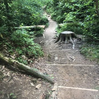
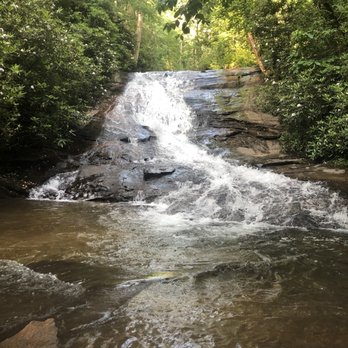
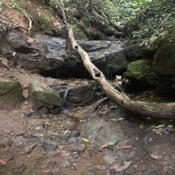
This is how lots of horror movies start. A winding dirt mountain road in the middle of nowhere. And when you're not used to dirt mountain roads, just the drive to the falls is a horror movie in and of itself. The first day Hubs gave up the drive because of my panic attack. I controlled my hysteria enough the second day to make it the 2 miles in. It was worth all the anxiety once we got there. The hike down to the falls is amazingly beautiful - but it's not for those who have issues with squirrelly trails. After a day of horseback riding and hiking, my 4 knee surgery Hubs couldn't have made it down without a walking stick. But, it's pretty much everything you imagine from and out of the way waterfall and swimming spot in the mountains. Rumor has it there's even a portion of the falls you can use as a sliding rock. Just remember to watch your step! And enjoy the fabulous, beautiful North Georgia Mountain outdoors. read more





6 years ago
*****If driving a truck find another fall******* We drove a truck and passing cars was tough but getting past the cars pulled off the road is very difficult, other drivers do not take you into consideration. The falls are beautiful and many kids sliding on falls. It is a place with people in the falls which makes it hard for pictures. I would recommend a week day for smaller crowds. The walk to the falls is short and you can hike to the upper falls and observation deck. read more


6 years ago
Great hiking spot! It was a little rainy and we were glad we had a 4 wheel drive truck, but well worth it. We did see a Ford Taurus our there so all vehicles are capable of making it... just a little tougher ride. The falls were gorgeous. Nice moderate to easy hike. Great views along the walk and several fall viewings. Two enthusiastic thumbs up!! read more


I came here to check out the water fall. Be careful as I recommend a decent SUV/Truck as the gravel road to the trail front can be tricky as I figured out you have to drive through 1-1.5 feet deep water creek to the trail head from Hwy 348. Since I was in a Honda Accord and cutting it close, I opted to turn around and go the other route from Hwy 19. It would of sucked to be stuck in the creek and not have cell phone service to call a tow truck and ruin your car. Now for the trail. It's a short moderate hike of only .6 miles round trip. Now, as far as rating it easy like some of the trail guides online, I would rate it moderate as there are a ton of tree branches in the ground, rocks, and slippery mud/dirt that you can fall down on. The trail is a bit narrow as well. You definitely need to pay attention to where your walking and some decent trail running/hiking foot wear would be nice. There are 2 places where you in see two separate water falls. I enjoyed both of them as you can jump into the water in both. You have to be super careful while walking on the rocks as they are super slippery. I definitely would love to come back and drive through that creek when I get myself a nice off roading vehicle next time! read more


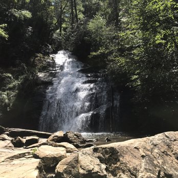


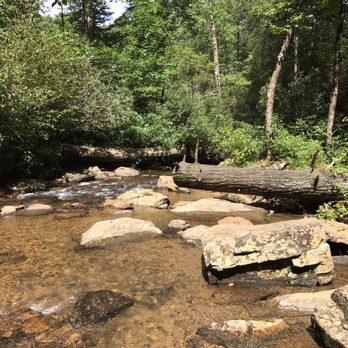


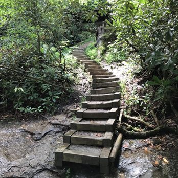

8 years ago

I've been here twice now. One entrance you go through very narrow unpaved roads and the other you have to Ford a creek, so definitely don't try to do that with a car. We did it with an SUV and it still felt sketchy. It's a short hike to the bottom and top of the falls. There are absolutely no bathrooms anywhere so be prepared! In the warm months you can swim in the creek. read more

3 years ago
I LOVE waterfalls, but need to leave a honest review. A mile on a single lane gravel road with a 40 foot drop off one side. Treacherous primitive earthen steps to get to the waterfall. Please wear hiking shoes. Be cautious if bringing small children. I recommend Toccoca Falls for a family outing. read more


5 years ago
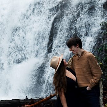
Hidden gem. Perfect place to take family and friends over the years and Vogel is right down the street. Lower falls hosts a shallow wading area and you can slide down the falls by crawling from bottom up to mid area (be cautious). Upper falls have a deep wading area & more space to walk around. Someone must have came in and cleared out the trees that fell in the storms, so it's much safer now. Water is freezing so keep that in mind! Also low riding cars beware. The dirt/gravel road down it's anything extreme, but does have the occasional deep pothole or tire trench from erosion and traffic. Be mindful of them while driving or you'll scrape up the belly of your car. If you're planning photos pack appropriate shoes for the hike down. Some areas can be muddy and if you want to get close, soggy shoes are inevitable & completely worth it. Remember to keep the falls clean & respect wildlife. :) Enjoy! read more
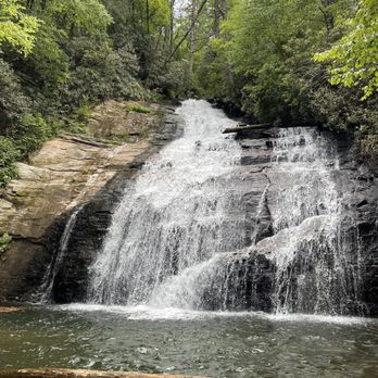


3 years ago

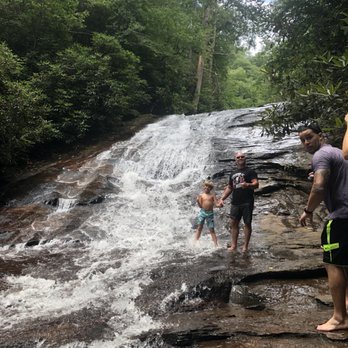
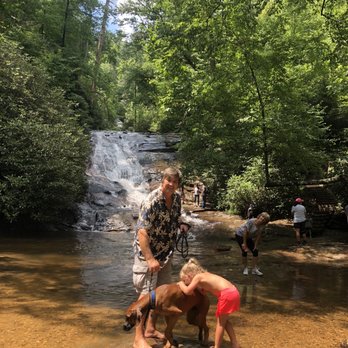
Coming from flat Florida, this place is amazing. Helton creek is great small waterfall that is easy to get to. Hiking to the fall is in not hard and it is easy to do with two kids, grandparents and dog. Definitely worth visiting. read more


6 years ago

6 years ago
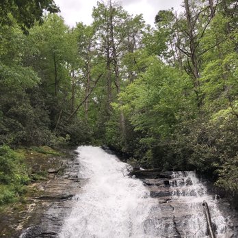
Amazing little treasure. Two ways to get in depending on your sense of adventure. Easier from the top down narrow winding roads than the ones where you have to cross water. Recommend if you like waterfalls. No bathrooms other than nature. Free parking... read more


9 years ago
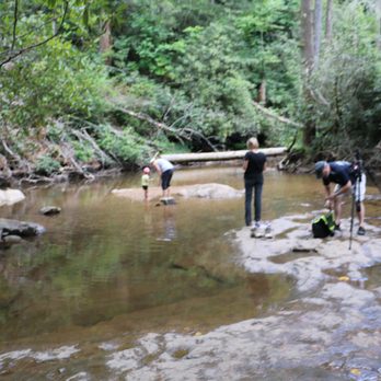
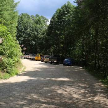
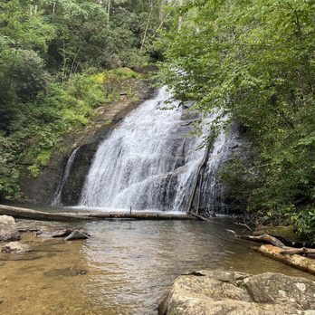
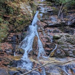
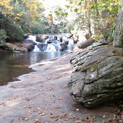
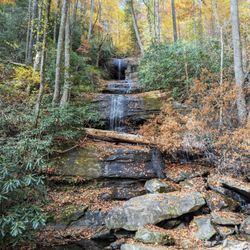
Helton Creek Falls is one of those remote waterfalls where it would be a good idea to have a printed and mapped out driving directions plan on where you are going next, because you will likely have no mobile signal after you arrive. It's also a good idea to have an SUV or truck, because if you approach from Hatchet Creek Road, you will have two separate water crossings that are as much as a foot deep. The climb to the parking area is also very rugged, so know this before you go. The hike to the falls from the parking area is less than an 1/8 of a mile. As a matter of fact, you can hear & see the lower falls pretty much the moment you get on the trail. IF all there were to this trail was the lower falls, I'm sure it would make any waterfall lover happy. It is a 30 foot cascading fall, but there is another waterfall just a short hike above it. While the lower fall is wider, the upper fall is taller. Continue along the trail to the right and within 50 yards you will reach the viewing platform for the beautiful upper falls. Posted signs say not to go beyond the platform, but there were plenty of people hanging out on the rocks at the base of the falls. The upper fall is more narrow and has more of a straight drop, but is taller than the lower falls by more than 20 feet, making it appear more majestic. FINAL THOUGHTS Trail difficulty is easy and the waterfalls themselves are mostly unobstructed with vegetation, making for great photo opportunities. Hike time to the lower falls is less than 5 minutes and less than 3 minutes to the upper falls from there. Each has a few stairs you will need to master. My only real dislike of this trail is getting to it on the narrow winding dirt road. I was very fortunate to not have any cars coming at me in the opposite direction (since I have a big truck), but would have been highly anxious if I did have to pass another vehicle. The drop-off next to the road can be deadly, so be careful... and enjoy! 2017/119 read more






6 years ago

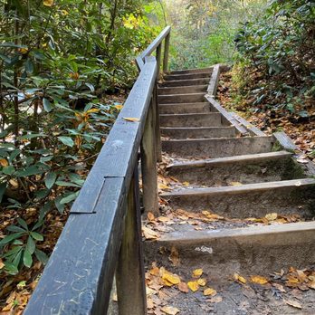
As many of the other reviews mentioned, getting to the trail is quite terrifying. We are from Florida, so not used to windy mountain roads with lots of switchbacks. It's an unpaved road on the side of a mountain which is supposed to be a two-lane road but is really the size of a one-lane road. Once you make it to the parking area, the trail is an easy shaded hike with stairs that leads to a beautiful double waterfall. The stairs can be slippery, so be careful. We didn't bring our pups, but others on the trail had their dogs, so it is dog friendly if they are comfortable with stairs. Highly recommend this hike! read more


7 years ago

5 years ago

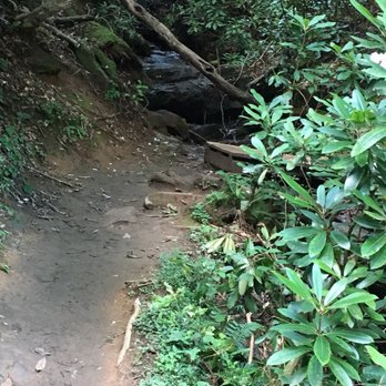
We visited several falls prior to Helton Creek today and so glad we trekked the 2 miles on the dirt road. Best falls of the day since there were pools you can wade in There are two routes, in one you have to cross two small creeks and the other is a little bit of a 2 mile road that winds a little bit and is very narrow. The 2 creek rd. is the one that's closest to Blairsville. read more




6 years ago
Not the easiest drive (a bit bumpy on the gravel road!!) but WOW! These two waterfalls were both stunning. It was a hot day and the kids all splashed around in the water and cooled off, they loved it! read more


7 years ago
Nice little waterfall within easy walking distance from parking. There is a lower falls (the first one you come to) and an upper fall. The upper falls are larger and more interesting to look at, so you'll want to venture upstream a bit for photos. If you can, go very early to avoid crowds. When I was here, there were already a lot of people around and in the water, so I had to pick my shots carefully and be patient. read more


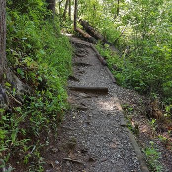
Helton Creek Falls is located off Helton Creek Road off Gainesville Hwy in Blairsville. It is not hard to find but driving through the small roads in the neighborhood will make you wonder if you are going the right way. Yes, the waterfall is located behind this neighborhood. What is good is you will see a sign that has Helton Creek Falls ahead 2 miles. What else sucks is you will be on an even smaller road, oh yeah, very curvy road. I felt like I was going to fall off the cliff a few times. Luckily no cars were passing. There is a small parking lot on the right hand side and you will see a sign for the stairs to the waterfalls. You can already hear the waterfalls. Walking down the stairs, I could already see a huge tree blocked the trail. No kidding. You can tell it just happened recently. It is a huge tree and I crawled under the space to get to the other side. You will see another set of stairs to your left to see the lower part of the waterfalls. When you go farther, you will see an overlook to the pretty waterfall! There is a log that will take you there or you can just follow the rocks. I didn't get up close and personal to the waterfall since my ankle didn't totally heal yet but it was gorgeous. Overall, a short hike to a beautiful waterfall. Besides, the small road leading there, definitely worth a trip! 63/2017 read more






7 years ago


10 years ago
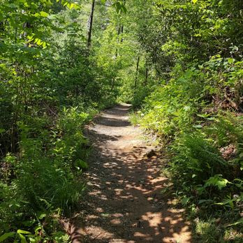
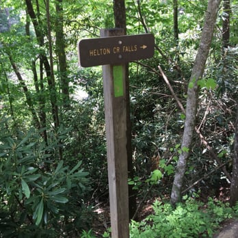
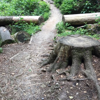
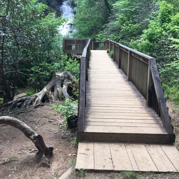
****NOTE: THE ADDRESS IS FOR HELTON FALLS LODGE***** Helton Creek Falls is a set of waterfalls hidden in plain site, that you absolutely must take the time to find! Located about 1 mile from the nearby Vogel State Park, the access road to Helton Creek Falls is pointed out, via sign, on US-19 (the road you'll be on) You'll drive through a small neighborhood of homes and lodges, and just past Helton Falls lodge, there'll be a 2 mile very narrow gravel road, that you can sometimes squeeze by an oncoming car (but not always, so drive carefully!) The actual trail, marked by "Helton Creek Falls" sign, is not very long at all, clocking in at about 0.2 miles, with a total in and out hike at just under a half a mile. You can see the lower falls from a distance, which has a winding wooden stairway that leads you to the base of the falls for photos. I urge you to descend them for nice shots! When you finish with the lower falls, keep going to the much more beautiful upper falls! which are lovely, being partially hidden by lush greenery (this will be a beautiful quick trail during the fall when leaves change). There is no phone service down this little gravel trail, but the actual trail is not strenuous, as it tends to be a mostly flat, slightly descending trail that all levels of fitness can handle. I'm not 100% sure that I would make a drive from Atlanta to Helton Creek specifically for these two waterfalls, but it's a cool add on destination if you're in the area with extra time, because the falls are lovely, really fun, and a quick trail that needs visiting if you're in the area. read more






5 years ago
4 years ago

8 years ago
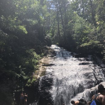
Hubby says to give it one star so no one will come out here and this place can remain our hidden treasure. It really is amazing though, the dirt road that seems to be leading to no where provides a beautiful scenic view. Once you get to the falls there are dirt steps to lead you down and around the wooded area. There are two levels to the falls, both are fun and lovely to look at. We brought our 8 year old and 4 year old along with us and they loved it too. We can't wait to come back next year! read more



9 years ago
Helton Creek was down the street from where we stayed. It is off a dirt road. We found parking right away. It is tight. We walked down to the falls and it was absolutely beautiful! Our kids played in the water. We took some great pictures. Very easy hike. We wanted to go back before we left back home. Totally worth the visit. You can spend a couple of hours here. Very family friend! read more


7 years ago

7 years ago

9 years ago

8 years ago
Page 1 of 2
More info about Helton Creek Falls
Ask the Community - Helton Creek Falls
Are there any hotels near the falls?
No, there aren't any hotels nearby. But there are cabins for rent. We always rent one on Helton Creek Road and it is about $110 a night. You can contact Blood Mountain Cabins..they're the ones who rent them. Good people.
Review Highlights - Helton Creek Falls















Helton Creek Falls - hiking - Updated September 2026
Best of Blairsville
People found Helton Creek Falls by searching for…
Swimming Holes in Blairsville, GA
Hiking Trails With Waterfalls in Blairsville, GA
Places to Take Pictures in Blairsville, GA
Scenic Overlook in Blairsville, GA
Off Road Trails in Blairsville, GA
Things to Do in Blairsville, GA
Photo Spots in Blairsville, GA
River Swimming in Blairsville, GA
Scenic Views in Blairsville, GA
Scenic Drive in Blairsville, GA
Secret Spots in Blairsville, GA
Dog Friendly Trails in Blairsville, GA
Playgrounds in Blairsville, GA
Beautiful Views in Blairsville, GA
Lookout Points in Blairsville, GA
Walking Trails in Blairsville, GA
Picnic Areas in Blairsville, GA
Trending Searches in Blairsville, GA
Apple Orchards near Helton Creek Falls
Apple Picking near Helton Creek Falls
Archery near Helton Creek Falls
Attraction Farms near Helton Creek Falls
Corn Maze near Helton Creek Falls
Dog Friendly Things To Do near Helton Creek Falls
Eyelash Extensions near Helton Creek Falls
Formal Wear near Helton Creek Falls
Haunted Houses near Helton Creek Falls
Hiking near Helton Creek Falls
Hiking Trails near Helton Creek Falls
Kids Birthday Party near Helton Creek Falls
Lookout Points near Helton Creek Falls
Makeup Artists near Helton Creek Falls
Off Road Trails near Helton Creek Falls
Outdoor Activities near Helton Creek Falls
Photo Spots near Helton Creek Falls
Picnic Areas near Helton Creek Falls
Places To Take Pictures near Helton Creek Falls
Private Schools near Helton Creek Falls
Public Shower near Helton Creek Falls
Pumpkin Patches near Helton Creek Falls
Browse Articles
Browse Nearby
BEST of Blairsville, Georgia Restaurants near Helton Creek Falls
BEST of Blairsville, Georgia Breakfast near Helton Creek Falls
BEST of Blairsville, Georgia Lunch near Helton Creek Falls
BEST of Blairsville, Georgia Campgrounds near Helton Creek Falls
BEST of Blairsville, Georgia Wineries near Helton Creek Falls
Browse Brands
Related Searches in Blairsville, GA
Affordable Kayak Rental Services in Blairsville, Georgia
Best Dog Hiking Trails Around Blairsville, Georgia
Best Fishing Locations and Guides in Blairsville, Georgia
Best Places for Horseback Riding in Blairsville, Georgia
Check Out Off Road Trails in Blairsville, Georgia
Discover Dog Friendly Trails to Explore in Blairsville, Georgia
Discover Kid Friendly Hiking Trails in Blairsville, Georgia
Discover Popular Bike Trails in Blairsville, Georgia
Discover Public Beaches to Visit in Blairsville, Georgia
Discover Scenic Mountain Bike Trails Near Blairsville, Georgia
Discover a Hiking Trail in Blairsville, Georgia
Discover the Best Night Hike Trails in Blairsville, Georgia
Dog-Friendly Hikes With Dogs in Blairsville, Georgia
Enjoy Camping Adventures Around Blairsville, Georgia
Enjoy Exciting Mountain Biking Adventures in Blairsville, Georgia
Enjoy Kayaking Adventures in Blairsville, Georgia
Enjoy Off Leash Dog Hikes in Blairsville, Georgia
Enjoy Tent Camping Spots Around Blairsville, Georgia
Enjoy a Beautiful Waterfall Hike in Blairsville, Georgia
Enjoy the Best Walking Trails in Blairsville, Georgia
Experience Thrilling White Water Rafting in Blairsville, Georgia
Explore Beautiful Parks and Green Spaces in Blairsville, Georgia
Explore Easy Hikes Perfect for All in Blairsville, Georgia
Explore Fun Activities to Do in Blairsville, Georgia
Explore Popular Campgrounds Near Blairsville, Georgia
Explore Popular State Park Destinations in Blairsville, Georgia
Explore Top Water Parks in Blairsville, Georgia Today
Explore the Best Swimming Holes Around Blairsville, Georgia
Family Friendly Hiking With Kids in Blairsville, Georgia
Find Cozy Camping Cabins in Blairsville, Georgia
Find Fun Kids Activities Outdoor in Blairsville, Georgia
Find Popular Ziplining Spots Around Blairsville, Georgia
Find Top-Rated Waterfalls in Blairsville, Georgia Now
Find the Best Playgrounds to Visit in Blairsville, Georgia
Hiking Trails With Waterfalls in Blairsville, Georgia
Off Leash Dog Hiking Trails in Blairsville, Georgia
Plan a Scenic Drive Route Near Blairsville, Georgia
Popular Outdoor Activities to Try in Blairsville, Georgia
Popular Picnic Spots to Visit in Blairsville, Georgia
Safe River Swimming Areas in Blairsville, Georgia
Safe and Fun Parks for Kids in Blairsville, Georgia
Top Hiking Trails to Explore in Blairsville, Georgia
Top Paddleboarding Activities in Blairsville, Georgia
Top Playgrounds for Kids to Enjoy in Blairsville, Georgia
Top Running Trails to Explore in Blairsville, Georgia
Top Swimming Lakes to Enjoy in Blairsville, Georgia


