Amicalola Falls State Park Photos


You might also consider


More like Amicalola Falls State Park
Recommended Reviews - Amicalola Falls State Park
Start your review...


Reviews With Photos
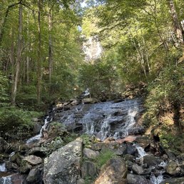

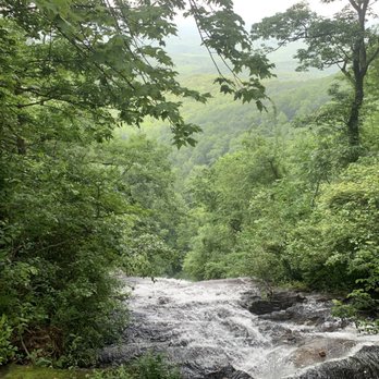
This amazing state park has it all. Love to visit when I'm in the area. It's $5 to park all day and if you're feeling energetic, taking the hike from the base of the falls to the top is a great workout and the view from the top is work the sweat. Main scenic trail up starts with a walking path with an incline. You'll have a total of about 650 steps throughout your hike with plenty to landing spots with seats to rest. Every turn is a beautiful scene. Love the sounds of the relaxing water fall with every step! There's also hiking trails you can take and if hiking is not your thing, you can also drive to the top and enjoy the view without breaking a sweat. There are nice pavilions as well if you want to host a party and cabins too if you wanna spend the evening. Beautiful water fall and lovely state park with many trails for you to enjoy the amazing outdoors!


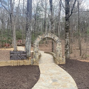
This park is beautiful The visitors center is very spacious, parking lot big enough, clean bathrooms. There are different trails all over the park, from easy/short hikes to more challenging long ones. I did the Appalachian approach trail and it took me 1hr to get to the top of the waterfall. The view there is gorgeous. Definitely worth every step.


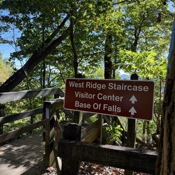
We had a wonderful time at this park 4 days ago. My sister in law, and my son came along to climb the 605 stairs to the top of the 700 plus ft waterfall. The stairs are strenuous and steeper than any we had ever seen. The view of the falls was worth it, and at the top the park view was rewarding with the colors of fall appearing in pockets. Entrance for the day was just 5 dollars The gift shop has a deli and part branded gifts. Definitely a place to visit.


Amicalola Falls State Park better be on your list of places to visit and things to do when you are visiting Georgia. It begins with the drive to the Amicalola Falls State Park where there are beautiful trees on either side of the winding road and playing your playlist adds a nice touch to BGM when you look outside the window. This park has a beautiful waterfall that will take your breath away and wash away all your stress just by admiring it. When we visited, the weather was kind of hot and cloudy but there are so many trees that cast shades it's not as hot as you'd think. Climbing up the 604 stairs from the very bottom sounded challenging at first but every so often you will find a bench to rest on your way to the top. The view of the waterfall can be seen from the bottom but as you make your way to the top the view gets better and better. Once you are at the top, the faraway view of the nature and the mountains will tug at your heart strings with its beautiful scenery. My pictures won't do any justice. I can't recommend this park enough to everyone to at least try climbing up the stairs with your friend or a loved one for the experience of it. There are multiple parking areas for those who have disabilities or just don't feel up to climbing the stairs. I recommend you try visiting early on weekdays because it gets pretty packed and crowded on weekends. Hope this bit of info helped! Please enjoy the trail and wear hiking appropriate shoes to avoid injuring your ankles! PS Insect repellent is a great idea


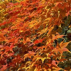
Amicalola Falls is the beginning to the Appalachian Trail in NE Georgia. The leaves are in peak color.
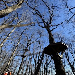


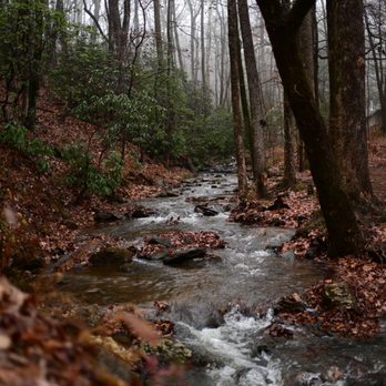
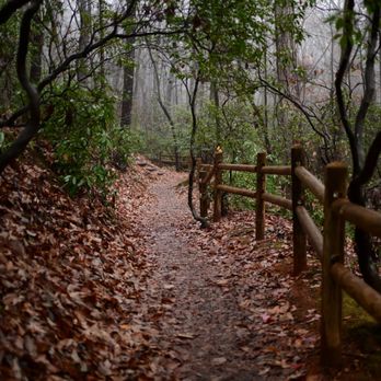
I visited Amocalola in a particularly rainy Monday and despite that I really enjoyed my time. Parking for the day is $5. I was instructed to go to the visitor center to pay for my parking pass because I was paying by card. Not sure if that was a temporary thing or standard practice. Nonetheless getting my pass was quick and easy plus it gave me a chance to go to the bathroom before starting my hike. The facilities are clean and the staff members are very friendly. There are several different trails at the park. I did the one that takes you from the Visitor Center to the Top of the Falls. It took me about 2 hrs but I was walking very leisurely and stopping to take photos. The first 1/3 of the hike was muddy and rocky terrain and then the rest was either paved or stairs. I'd say it's a moderately difficult hike depending on your views on stairs. The falls are one of the tallest east of the Mississippi so there is a decent amount of ascending that needs to be done to get to the top. There are different parking areas along the trail if you just want to see the falls without working for it. Overall a very nice park and I can imagine it gets packed on warmer and drier days.


Beautiful Park! The Waterfall is gorgeous. Just be ready to hike up some very steep stairs.


I can't even count how many times I've visited this park anymore, it's truly one of my favorite state parks to visit towards North GA and it's right within the Chattahoochee National Forest. Such an easy drive up to Northeast Dawsonville, and well worth it. Plus, it's only 8 miles from the Appalachian Trail if you're looking for a longer trek on the AT post waterfall viewing. The 729-foot waterfall is absolutely breathtaking (fun fact: it's the third highest cascading waterfall east of the Mississippi River), but I highly recommend taking a walk along some of the other trails around the park too as they are just as beautiful and peaceful. If you're looking to spend the weekend here, you can book out one of their on-site lodges. For my most recent visit, the main trail up to the waterfall was closed, but I am kind of glad it was because it pushed me to go a new way and try out a new trail. I ended up taking the trail just behind the visitor's center all the way up to the very top of the falls (around the stairs). It was about 2-2.5 miles there and you had the option to take the stairs back down but with my husky, I decided it was better to just go back down the same way. Gorgeous weather and beautiful views - a perfect day trip with my furbaby!
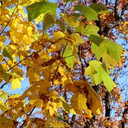

I'm not much of a hiker but my parents were insistent on hiking on their most recent visit to Georgia to see some fall foliage. And holy crap, I thought I'd seen fall foliage before, but nothing quite like mid-November 2021 at Amicalola Falls. It's a dog friendly hike, but there were parts that had stairs that scared my pup due to all the holes so we had to carry her for that portion of the walk. Luckily she's a little one but just an FYI. I'm pretty sure you can walk the entire trail but there are also drivable portions where you can kind of skip a lot of the walking, if I'm not mistaken. STORYTIME: I remember walking past the falls and realized how familiar it looked, even though I had never been here before. And lo and behold, after some light googling, I found that Vampire Diaries scenes were filmed here. DUH! So definitely kind of cool to see the scenes in person too. Definitely recommend checking out North Georgia and Amicalola Falls during the spring or fall!
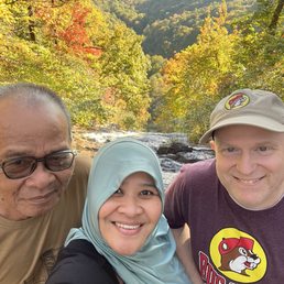

I love this water falls. You can choose to hike to the top or just go straight to the parking lot to see it from above. Beautiful and nice scenery, especially during Fall.


Beautiful park with beautiful falls. The stairs aren't too bad but definitely a bit of a workout. The paved path is handicap accessible.


2nd time here but first time taking the stairs to the very top! It's about 700 steps. We love the nature trails and the beautiful sceneries. We arrived at about 8AM and in my opinion it was the best time to go because there was so many people and hardly any parking around noon.


15 days ago
We stayed here on our way back from Savannah on a whim. The falls are gorgeous and the park itself is very nice. Beware, it is a very steep hill to get up to the campsites. The sites themselves are very nice, and it is quiet. We did get hit by a storm, but our camper held up quite well. The lodge is also a beautiful building and has scenic views. The park was clean and there is a small nature center with live animals and reptiles. The staff are friendly and helpful too. The one downside is the firewood issue that persists in most state parks. You aren't allowed to bring in firewood from other places (unless bought in the area), and they charge you a ridiculous amount for what are little more than shims to use. Overall, this was a wonderful end to our Georgia journey. read more


2 months ago
This trip was pure nostalgia for me and I enjoyed hiking up the falls this time as I'm on a huge health journey ! The hike up Amicalola Falls is a 1 to 2-mile round trip depending on your exact route, requiring 1 to 1.5 hours. The trail is famous for its steep incline and roughly 425 to 600 metal and wooden stairs that climb alongside the 729-foot waterfall which was absolutely beautiful! I met some really cool people along the hike and even a new friend & we ended going for lunch and beer after our hike at the overlook. If you've never visited Amicalola falls, start planning now. Your soul will be at such peace and joy afterward ! read more
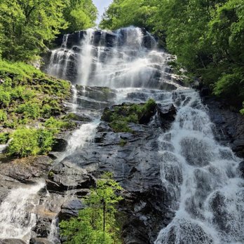


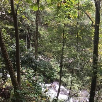

This amazing state park has it all. Love to visit when I'm in the area. It's $5 to park all day and if you're feeling energetic, taking the hike from the base of the falls to the top is a great workout and the view from the top is work the sweat. Main scenic trail up starts with a walking path with an incline. You'll have a total of about 650 steps throughout your hike with plenty to landing spots with seats to rest. Every turn is a beautiful scene. Love the sounds of the relaxing water fall with every step! There's also hiking trails you can take and if hiking is not your thing, you can also drive to the top and enjoy the view without breaking a sweat. There are nice pavilions as well if you want to host a party and cabins too if you wanna spend the evening. Beautiful water fall and lovely state park with many trails for you to enjoy the amazing outdoors! read more
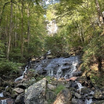
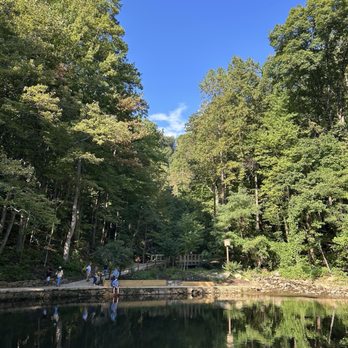
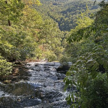
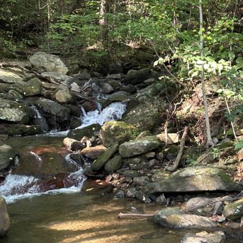


11 months ago
This park is beautiful The visitors center is very spacious, parking lot big enough, clean bathrooms. There are different trails all over the park, from easy/short hikes to more challenging long ones. I did the Appalachian approach trail and it took me 1hr to get to the top of the waterfall. The view there is gorgeous. Definitely worth every step. read more


10 months ago
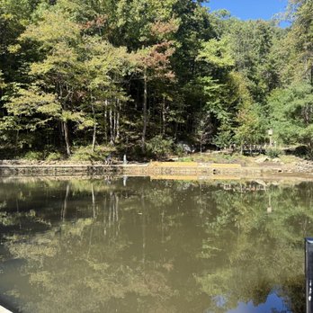
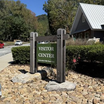
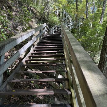
We had a wonderful time at this park 4 days ago. My sister in law, and my son came along to climb the 605 stairs to the top of the 700 plus ft waterfall. The stairs are strenuous and steeper than any we had ever seen. The view of the falls was worth it, and at the top the park view was rewarding with the colors of fall appearing in pockets. Entrance for the day was just 5 dollars The gift shop has a deli and part branded gifts. Definitely a place to visit. read more






4 months ago

Amicalola Falls State Park better be on your list of places to visit and things to do when you are visiting Georgia. It begins with the drive to the Amicalola Falls State Park where there are beautiful trees on either side of the winding road and playing your playlist adds a nice touch to BGM when you look outside the window. This park has a beautiful waterfall that will take your breath away and wash away all your stress just by admiring it. When we visited, the weather was kind of hot and cloudy but there are so many trees that cast shades it's not as hot as you'd think. Climbing up the 604 stairs from the very bottom sounded challenging at first but every so often you will find a bench to rest on your way to the top. The view of the waterfall can be seen from the bottom but as you make your way to the top the view gets better and better. Once you are at the top, the faraway view of the nature and the mountains will tug at your heart strings with its beautiful scenery. My pictures won't do any justice. I can't recommend this park enough to everyone to at least try climbing up the stairs with your friend or a loved one for the experience of it. There are multiple parking areas for those who have disabilities or just don't feel up to climbing the stairs. I recommend you try visiting early on weekdays because it gets pretty packed and crowded on weekends. Hope this bit of info helped! Please enjoy the trail and wear hiking appropriate shoes to avoid injuring your ankles! PS Insect repellent is a great idea read more


8 months ago


3 months ago


2 years ago
I visited Amocalola in a particularly rainy Monday and despite that I really enjoyed my time. Parking for the day is $5. I was instructed to go to the visitor center to pay for my parking pass because I was paying by card. Not sure if that was a temporary thing or standard practice. Nonetheless getting my pass was quick and easy plus it gave me a chance to go to the bathroom before starting my hike. The facilities are clean and the staff members are very friendly. There are several different trails at the park. I did the one that takes you from the Visitor Center to the Top of the Falls. It took me about 2 hrs but I was walking very leisurely and stopping to take photos. The first 1/3 of the hike was muddy and rocky terrain and then the rest was either paved or stairs. I'd say it's a moderately difficult hike depending on your views on stairs. The falls are one of the tallest east of the Mississippi so there is a decent amount of ascending that needs to be done to get to the top. There are different parking areas along the trail if you just want to see the falls without working for it. Overall a very nice park and I can imagine it gets packed on warmer and drier days. read more




1 year ago
Beautiful Park! The Waterfall is gorgeous. Just be ready to hike up some very steep stairs. read more


I can't even count how many times I've visited this park anymore, it's truly one of my favorite state parks to visit towards North GA and it's right within the Chattahoochee National Forest. Such an easy drive up to Northeast Dawsonville, and well worth it. Plus, it's only 8 miles from the Appalachian Trail if you're looking for a longer trek on the AT post waterfall viewing. The 729-foot waterfall is absolutely breathtaking (fun fact: it's the third highest cascading waterfall east of the Mississippi River), but I highly recommend taking a walk along some of the other trails around the park too as they are just as beautiful and peaceful. If you're looking to spend the weekend here, you can book out one of their on-site lodges. For my most recent visit, the main trail up to the waterfall was closed, but I am kind of glad it was because it pushed me to go a new way and try out a new trail. I ended up taking the trail just behind the visitor's center all the way up to the very top of the falls (around the stairs). It was about 2-2.5 miles there and you had the option to take the stairs back down but with my husky, I decided it was better to just go back down the same way. Gorgeous weather and beautiful views - a perfect day trip with my furbaby! read more

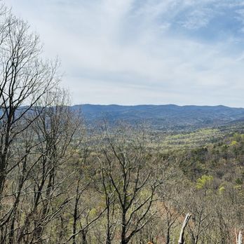


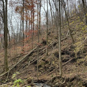
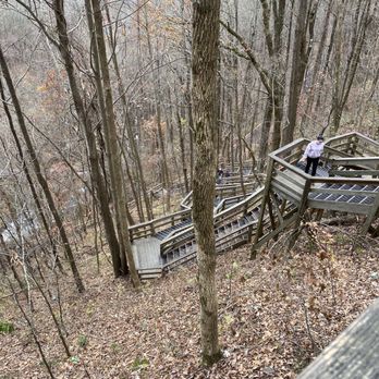
I'm not much of a hiker but my parents were insistent on hiking on their most recent visit to Georgia to see some fall foliage. And holy crap, I thought I'd seen fall foliage before, but nothing quite like mid-November 2021 at Amicalola Falls. It's a dog friendly hike, but there were parts that had stairs that scared my pup due to all the holes so we had to carry her for that portion of the walk. Luckily she's a little one but just an FYI. I'm pretty sure you can walk the entire trail but there are also drivable portions where you can kind of skip a lot of the walking, if I'm not mistaken. STORYTIME: I remember walking past the falls and realized how familiar it looked, even though I had never been here before. And lo and behold, after some light googling, I found that Vampire Diaries scenes were filmed here. DUH! So definitely kind of cool to see the scenes in person too. Definitely recommend checking out North Georgia and Amicalola Falls during the spring or fall! read more
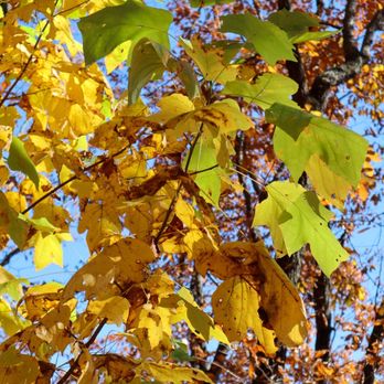


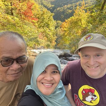


2nd time here but first time taking the stairs to the very top! It's about 700 steps. We love the nature trails and the beautiful sceneries. We arrived at about 8AM and in my opinion it was the best time to go because there was so many people and hardly any parking around noon. read more

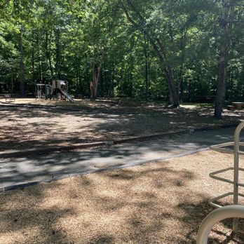

Such a beautiful place to visit. They have beautiful a visitor center with bathrooms, plenty of hiking trails and of course the falls. You can climb the falls via the steel steps from the bottom all the way to the top or you can take your car to the top and take a short walk to the falls itself. read more

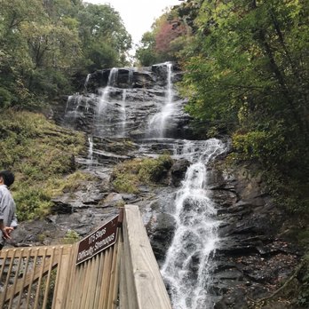

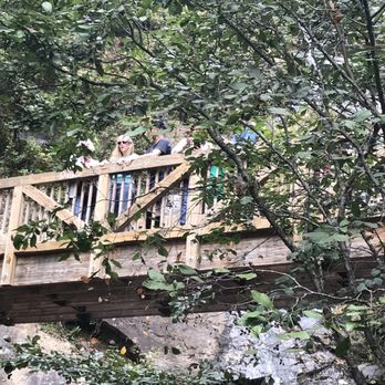


2 years ago
You, your camper and the mountains.... Great place just to sit and be within nature. The campground is very steep to get to so be prepared. I love that we were within the park so we were able to see the Falls and hike without having to go far. It gets pitch black at night. There is a laundry room that's very convenient for anyone who needs it, they are pretty clean. Make sure to take enough food as any restaurants are pretty far away from the campground. The host has firewood available for purchase. The playground by the visitors center was nice for our toddler. The views from the falls are worth every step from the bottom. Campsites are very spacious and private from the rest. I'd stay here again without a question. We didn't see or encounter any wildlife while we were here but there were signs everywhere to be aware. read more

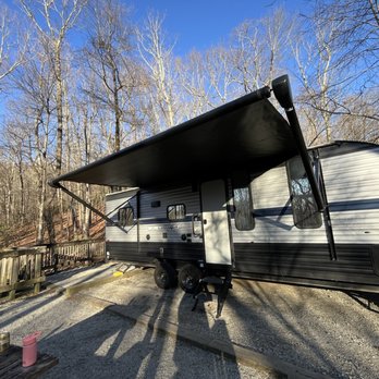



What a beautiful site to behold! If you're counting steps this is the place to be. There is a long path to get to the first stage, a set of over 140 stairs to the next and then over 200 to get to the top. But it is beautiful the whole way! Pictures are worth 1000 words... take a look. My boys didn't want to come, but after we were here they didn't want to leave. One disappointment.... People!! People have left all sorts of trash behind! Plastic bottles, food wrappers, a crock, articles of clothing... it's isn't covered up with garbage but you can see it. Have some respect people!! Seriously!!! This is our planet! Our kids planet! We need to leave it better then we found it! To leave your teach behind if this beautiful place... just heart breaking... I loved it here and we will come back again. read more
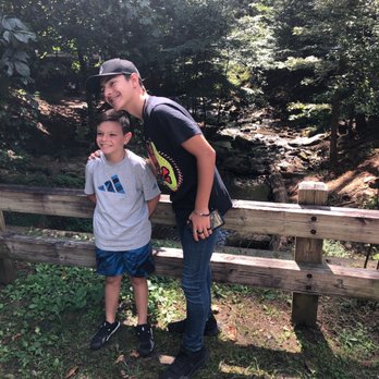




2 years ago
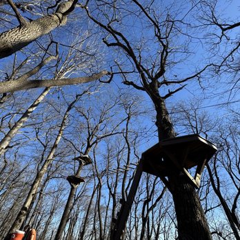
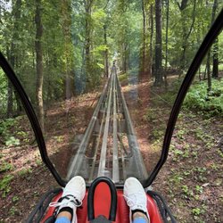
I went to the falls in December 2022 with my mom. It was when it was freezing and the falls created tunnels of ice and layers of snow. Today I went again as spring is starting to come around and it's a whole new view. Not only that but I tired the zip lining here as well and it was very fun. Highly recommend! read more


4 years ago
Tony Noel and I visited Amicalola Falls State Park in June to go hiking. It is a lovely park and the weather was beautiful. We enjoyed hiking and seeing the lovely waterfalls. It was not very crowded and we were traveling right before the weekend, maybe that was the reason. We definitely will go back again when in the area and highly recommend to all. read more
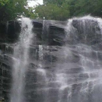


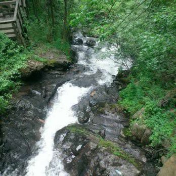


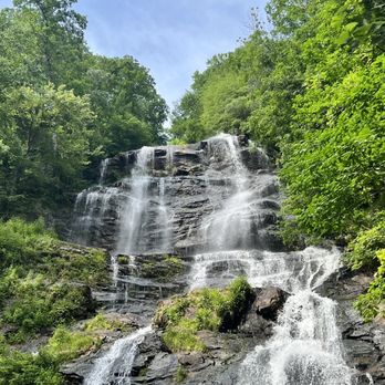


Very well laid out state park. Tons of picnic areas, good trails (nice and wide) but you still need to watch your steps for the roots and rocks on some trails. Staircases to the top of Amicalola Falls with tons of resting spots, which you will definitely need! We enjoyed a nice shady picnic after we got back to our parking area. There are several, one saves you part of the all uphill walk to the stairs! read more


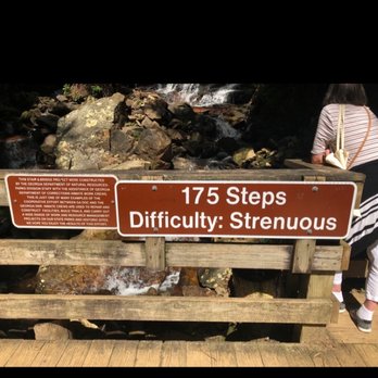
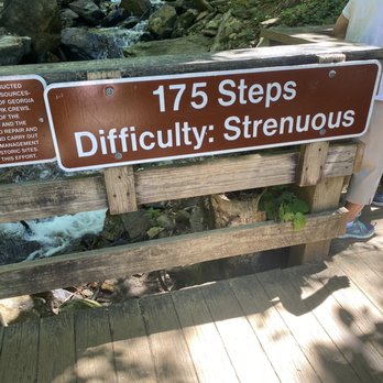
I hiked the trails to the water fall and then did the 175 stairs until I got to the bridge/walkway of the waterfall. Overall, it wasn't as bad. If you're a newbie like me, pace yourself, take breaks and take your Gatorade. I did not see a bear on this trip but a few hikers saw one and informed the others. The hike is a pretty popular trail so you won't be alone but always be safe. read more



3 years ago
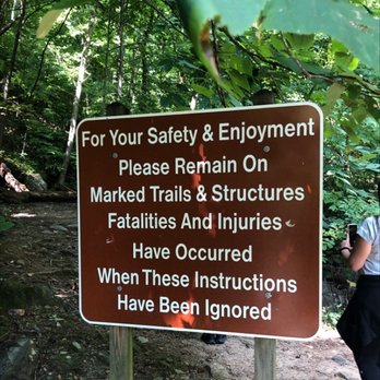
Calling all campers and hikers!!! If you're in Blueridge Mountain, Georgia... head on over to Amicalola Falls!! It's a strenuous hike, but so worth the beautiful views. This area is known as Bear Country so please read and follow the park rules and stay on the marked paths. This park is a great place to go camping and the waterfall is so beautiful to look at. Hubby and I hiked here and it took us about 30 minutes from start to finish. When we got about halfway up, I did get a little flushed. There are signs up along the way that lets you know the difficulty of the hike and how many steps it takes to get to the top of the waterfall. Keep in mind, this is a strenuous hike. With that being said, I recommend bringing water, dressing in layers, and your hiking gear. If you've got bad knees like myself, expect to feel some strain on your joints. Also, don't forget your camera. You're gonna wanna snap some amazing pictures. And if you're a health fanatic, get your smart watches and keep track of your steps and outdoor workouts. There are other paths you can hike here as well. So it just depends on what you want to do. You can hike just to see the waterfall or you can hike several miles to the cabins on site. Either way, you will enjoy your time here. Amicalola Falls is truly a gem. read more


3 years ago
The waterfall is the reason you come here! The breeze is so nice and the view is spectacular! Since it is the middle of the summer, the heat and humidity can get the best of you so be prepared to drink lots of water and take necessary breaks. There were a handful of people who had to stop while going up the stairs due to this! The bathroom at the very top of the waterfall was absolutely disgusting! No toilet paper, paper all over the floor, the door didn't have a lock, and paper was used to cover the hole! read more


3 years ago
We hiked up from the welcome center up to the falls on the east ridge trail! Definitely worth it! We took the stairs down to get more angels of the falls. Also if you take the stairs it takes you to a bridge that crosses over the falls. Well worth it! Heads up they only take cash at the booth for parking. So you have to pay for parking with a card at the welcome center. It was $6 when we went. read more
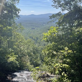

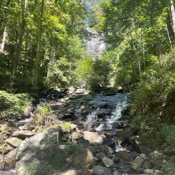


Excellent State Park. The waterfalls are awesome. The trail/path up is definitely strenuous, but well worth it. My recommendation is to definitely start at the bottom and go up first. We then found a different way down - taking us all the way back the lower parking lot (by the welcome center) where our car was. Several trails up and around the top. From the top, its another 9+ miles to the start of the Appalachian Trail (or southern terminus-whichever way you choose to look at it). read more





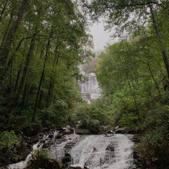
This place was such a gem! The entrance fee is only $5 and we came right as it opened. It was rainy and we were basically the only ones there so that was nice. We just parked at the first parking lot we saw, which overlooked a little lake and that led to a path. The pavement was quite steep but the view was beautiful along the way. Then we got to some stairs and got to the second level where we could see the waterfall straight on. There is also a third level but we didn't go up since it was closed for construction I think I would definitely stop by if you want to see a waterfall but keep in mind the trail to the stairs is a little steep and strenuous but definitely worth it ! read more



5 years ago
Really beautiful and tiring experience. The steps are a lot. About 600 total and 200 if you go from one of the overlooks. Even getting to the steps was an uphill climb. Take your time, pace yourself, and enjoy the views. The lodge was unexpected and lovely. We had drinks on the terrace, and it was gorgeous. There's a restaurant, gift shop, hotel, and meeting rooms. *shoutout to Kerri and Miranda who helped us in the restaurant area The falls were gorgeous from every angle. We did saw them from the bottom, top, and midway point. It just puts things into perspective. If able, we parked one car at the top and one at the bottom. You'll thank me later. Drive up and down to see the falls at different points. My bootay hurts but it was worth it! read more


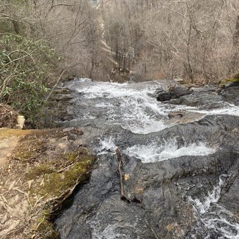
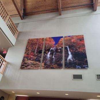
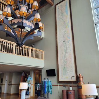
Make the time during your visit to North Georgia to see a wonderment of water falling from high above bouncing on stratified boulders. This is Amicalola Falls, and it is a state park that requires an entry fee. The roads inside the park are well marked. You can decide to skip the visitor center where you will learn more. We went driving to the very top of the mountain to visit the Lodge. It is a great place for a view. We want to see the wild falls up close, and it is a 1250-foot walkabout from the ADA parking to the viewing bridge. Undaunted, we went hopping down the rubberized pathway. A misty view and behold a white watery shower comes loudly crashing down from the top of the falls to the bridge you are standing on. It is a cooling moment as you rest and now must hike back up the path. Look closely, and you'll see an old rusty vehicle that has rolled down the hill many years ago. Amicalola Falls gave us a feeling of how nature was and still is able to carve its path no matter the obstacle. read more


6 years ago
Amicalola Falls State Park is a fun way to experience breathtaking scenery and get some exercise, all while socially distancing in North Georgia. My husband and I climbed the stairs to the top of the falls and hiked on several trails. The Appalachian Trail starts here, and that's pretty exciting. The park is very accessible. If you don't want to hike or aren't physically able, you can drive to the top of the falls and view from there. We saw people of all ages hiking, but you'll get a good workout so be prepared. Bring a bottle of water, wear shoes that have grippy soles, and stay on the marked trails. There's a restaurant and gift shop in the lodge at the top, along with a panoramic porch where you can sit and enjoy the scenery. Parking is a nominal $5 fee, and although we only purchased snacks in the shop, everything seemed reasonably priced. Amicalola Falls is a great family attraction. We hiked on a Wednesday, and it was rather busy, so go early to avoid crowds. We hope to hike more of the AT in the future, and this was a good introductory hike and climb. read more


3 years ago
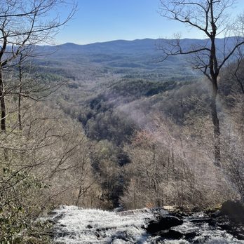
Absolutely gorgeous hike. This hike can either be a casual walk in the park or one of the most strenuous hikes in Northern Georgia. Luckily, the choice is yours to make. You can park at the bottom of the fall (entry fee is $5 and plenty of parking is available) and walk up about 500 steps worth of stairs to get to the top of the fall. Only takes about half an hour or so if you are healthy with two functional legs. This would definitely take a bit longer for the older folks. Once you get to the top of the fall, take some selfies for your instagram or Facebook, and now you are faced with a decision: either go back down to your car and just live another normal day OR continue on like a champ and carve this hike into your memory. If I drove an hour and a half to this place, I was going to make this hike worth my time. I picked the latter, but little did I expect it to be my most strenuous hike in Northern Georgia to date. If you decide to keep going, you will then hike through the Frosty Mountain via part of the Appalachian Trail. The trail is clearly marked (blue and green at first, then at the intersection follow the green trail). At the end of the hike, you will encounter the Len Foote Hike Inn, which welcomes all hikers with water, lemonade, pastries, and clean bathrooms. You don't have to book a night to access all these amenities, but donations are appreciated. Trust me, you will want to take advantage of all the things that this Inn offers because the whole hike is about 6.5 miles... one way. There are also some inclines, but overall more flat than steep. Round trip was about 13-14 miles in total. We walked about 33,000 steps that day..., definitely my personal record as far as hiking in Georgia is concerned. Overall, Amicalola Falls is a hike that everyone should do if they live in Georgia. But if you choose to be adventurous like me and decide to venture further, this is not a hike for the soft hearted souls. You WILL be worked, but definitely worth the toil if you are looking for a challenge like me. read more

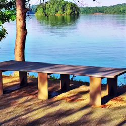
1 year ago

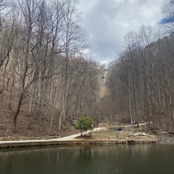
Man, the appeal of falling water. It never really gets old, does it? Having made our way to Dawsonville from our rental cabin in Blue Ridge, we packed a picnic basket and saw the tallest waterfall in all of the blessed state of Georgia. Can't really recommend enough; it's a stunner of a park. Our experience was both on foot and (later) in the car. First, we explored the base of the park a bit. There appears to be a great variety of camping and group recreation activities in the complex. After digging into some nice snacks by the parking lot, we headed up the trail by the reflecting pond, around which a few relaxed folks were fishing a bit. The short trail to view the falls starts by that pond, and follows the water upstream through a series of switchbacks. It is completely tree-covered, so there is no problem with the beating sun. However, it is a little steep. For those who may have kids or vulnerable adults, make sure they can deal with the grade of the trail. There is a lower viewing deck that offers some nice benches to take it easy, before either heading back down or trying an additional step trail to get a higher view. We returned to the car. I know, wimps. We drove up the mountain and found the viewing areas to be super, just like those on the bottom. There is a particularly nice viewing bridge at the middle level, that's made of that metal grippy stuff. It's close enough to the falls to get some mist in your eyes. Above all of that, you can drive up to the hotel and lodge, which (check out the website) is super scenic. It's bear country, too - there are warning signs everywhere and I wondered whether I would see one. No such luck. I did see a derelict truck in the woods that apparently belonged to a moonshiner. There is an assortment of trails to get to the falls, but be aware - there really is no getting around the steep climb if you're doing it on foot. If you've got kids, might be better to drive up. read more

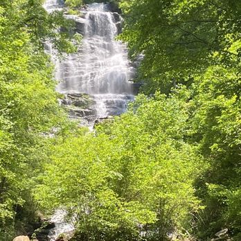


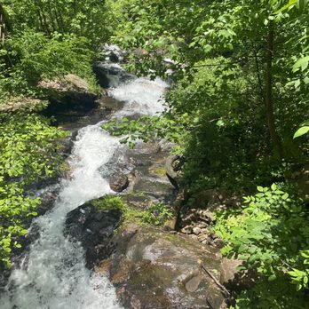

Great place to hike if you are in the Atlanta area and want to get out of the city. Not a bad drive to the state park. The state park has RV and camping grounds. You can either hike up to the falls or drive up. Maps of grounds are located in the visitor center. Restrooms were decent. Plenty of parking spots in different areas of the park. There is a $5 entrance fee for a vehicle. Great photo ops on the steps with the waterfall. Trail path is easy to walk a bit of incline. Also steps weren't too bad if you take your time. Highly suggest this place for a nice hike! read more





2 years ago
Absolutely beautiful. The hikes the water fall the lodge.... I love it all. The views are breathtaking. read more


Page 1 of 5
More info about Amicalola Falls State Park
418 Amicalola Falls Lodge Rd
Dawsonville, GA 30534
Directions
(706) 265-8888
Call Now
Visit Website
http://www.amicalolafallslodge.com
Hours
Indoor Amenities
Outdoor Amenities
Other Amenities
Ask the Community - Amicalola Falls State Park
Is this stroller friendly?
The parking lots are. You won't get the experience of climbing the stairs to the top. However, you can park at the bottom and stroll to the reflection pond beneath the falls. And, when ready drive to the top, park there, and then take the stroller…
Is this hike dog friendly?
My boyfriend and I did the whole hike with our border collie. %50 of the hike we had to carry him on our backs or in our arms. The steps become steal & spiked halfway up the hike. In order to prevent people from slipping from the moisture. Now if…
Review Highlights - Amicalola Falls State Park


































Why does Yelp recommend reviews?
7 reviews that are not currently recommended
The reviews below are not factored into the business's overall star rating.

1 year ago

1 year ago

10 years ago

7 years ago

7 years ago

3 years ago
6 years ago
Amicalola Falls State Park - parks - Updated August 2026
Best of Dawsonville
People found Amicalola Falls State Park by searching for…
Water Parks in Dawsonville, GA
Hiking Trails With Waterfalls in Dawsonville, GA
Things to Do in Dawsonville, GA
Watch Sunset in Dawsonville, GA
Scenic Overlook in Dawsonville, GA
Swimming Holes in Dawsonville, GA
Places to Take Pictures in Dawsonville, GA
Playgrounds in Dawsonville, GA
River Swimming in Dawsonville, GA
Scenic Drive in Dawsonville, GA
Public Shower in Dawsonville, GA
Scenic Views in Dawsonville, GA
Hot Springs in Dawsonville, GA
Attractions in Dawsonville, GA
Things to Do on a Rainy Day in Dawsonville, GA
Off Road Trails in Dawsonville, GA
Trending Searches in Dawsonville, GA
Antiques near Amicalola Falls State Park
Barbershop For Men near Amicalola Falls State Park
Bike Shop near Amicalola Falls State Park
Cabins near Amicalola Falls State Park
Campgrounds near Amicalola Falls State Park
Cliff Jumping near Amicalola Falls State Park
Consignment Shops near Amicalola Falls State Park
Dog Friendly Beaches near Amicalola Falls State Park
Ear Piercing near Amicalola Falls State Park
Eyebrow Threading near Amicalola Falls State Park
Fishing Spots near Amicalola Falls State Park
Flower Fields near Amicalola Falls State Park
Kids Haircut near Amicalola Falls State Park
Lakes near Amicalola Falls State Park
Long Term Rv Parking near Amicalola Falls State Park
Mini Golf near Amicalola Falls State Park
Pedicure near Amicalola Falls State Park
Permanent Makeup near Amicalola Falls State Park
Picnic Areas near Amicalola Falls State Park
Playgrounds near Amicalola Falls State Park
Preschools near Amicalola Falls State Park
Public Golf Courses near Amicalola Falls State Park
Public Pools near Amicalola Falls State Park
Public Running Track near Amicalola Falls State Park
River Tubing near Amicalola Falls State Park
Rock Quarry near Amicalola Falls State Park
Scenic Overlook near Amicalola Falls State Park
Sunrise View near Amicalola Falls State Park
Swimming Holes near Amicalola Falls State Park
Tennis Courts near Amicalola Falls State Park
Things To Do With Kids near Amicalola Falls State Park
Trading Card Shops near Amicalola Falls State Park
Used Furniture Stores near Amicalola Falls State Park
Browse Articles
Browse Nearby
BEST of Dawsonville, Georgia Restaurants near Amicalola Falls State Park
BEST of Dawsonville, Georgia Things to Do near Amicalola Falls State Park
BEST of Dawsonville, Georgia Coffee near Amicalola Falls State Park
BEST of Dawsonville, Georgia Breakfast near Amicalola Falls State Park
BEST of Dawsonville, Georgia Shopping near Amicalola Falls State Park
BEST of Dawsonville, Georgia Campgrounds near Amicalola Falls State Park
BEST of Dawsonville, Georgia Horseback Riding near Amicalola Falls State Park
BEST of Dawsonville, Georgia Resorts near Amicalola Falls State Park
Browse Brands
Related Cost Guides
Related Searches in Dawsonville, GA
Affordable Lodging Options in Dawsonville, Georgia
Affordable Long Term RV Parking in Dawsonville, Georgia
Best Nature Trails for Hiking in Dawsonville, Georgia
Best Off Leash Dog Parks in Dawsonville, Georgia
Best Parks for Parties and Events in Dawsonville, Georgia
Best Water Parks for Kids in Dawsonville, Georgia
Best Waterfalls and Swimming Holes in Dawsonville, Georgia
Book a Cozy Cabin Rental in Dawsonville, Georgia
Browse Charming Cabins in Dawsonville, Georgia
Browse Top Hotels in Dawsonville, Georgia for Your Stay
Check Out Great Playgrounds in Dawsonville, Georgia
Check Out Off Road Trails in Dawsonville, Georgia
Discover Baseball Fields Around Dawsonville, Georgia
Discover Dog Friendly Trails to Explore in Dawsonville, Georgia
Discover Free Campgrounds in Dawsonville, Georgia Area
Discover Fun Toddler Parks in Dawsonville, Georgia for Your Little One
Discover Lakes & Ponds to Explore in Dawsonville, Georgia
Discover Popular Bike Trails in Dawsonville, Georgia
Discover Soccer Fields in Dawsonville, Georgia Near You
Discover Top Nature Parks to Visit in Dawsonville, Georgia
Discover Top State Parks to Visit in Dawsonville, Georgia
Discover the Best Beaches in Dawsonville, Georgia
Enjoy Hiking Adventures in Dawsonville, Georgia
Enjoy River Tubing Adventures in Dawsonville, Georgia
Enjoy Tent Camping Spots Around Dawsonville, Georgia
Enjoy the Best Picnic Spots and Ideas in Dawsonville, Georgia
Enjoy the Best Walking Trails in Dawsonville, Georgia
Explore Beautiful Parks and Green Spaces in Dawsonville, Georgia
Explore Car Camping Spots and Gear in Dawsonville, Georgia
Explore Easy Hikes Perfect for All in Dawsonville, Georgia
Explore Family-Friendly Zoos and Wildlife in Dawsonville, Georgia
Explore Free Picnic Areas Around Dawsonville, Georgia
Explore Fun Activities to Do in Dawsonville, Georgia
Explore Mobile Home Parks in Dawsonville, Georgia Now
Explore Parks With Pull Up Bars in Dawsonville, Georgia
Explore Picnic Parks Near Dawsonville, Georgia
Explore Popular Campgrounds Near Dawsonville, Georgia
Explore Popular Kids Parks Throughout Dawsonville, Georgia
Explore Popular Picnic Areas Around Dawsonville, Georgia
Explore Popular RV Parks Around Dawsonville, Georgia
Explore Scenic Lakes to Visit in Dawsonville, Georgia
Explore Summer Camps for All Ages in Dawsonville, Georgia
Explore Top Dog Parks in Dawsonville, Georgia Near You
Explore Top Marinas Near Dawsonville, Georgia
Explore Top Water Parks in Dawsonville, Georgia Today
Explore the Best Swimming Holes Around Dawsonville, Georgia
Find Cozy Camping Cabins in Dawsonville, Georgia
Find Great Places to Feed Ducks in Dawsonville, Georgia
Find Parks and Recreation Activities in Dawsonville, Georgia


