1. Keller Peak

    1. Keller Peak

    0

    Big Bear, CA

    Cancel

    Open app

    Search

    Keller Peak

    4.8 (11 reviews)

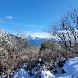
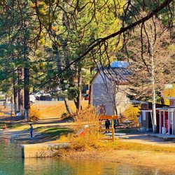
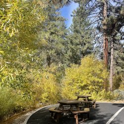
    Keller Peak Photos

    You might also consider

    Recommended Reviews - Keller Peak

    Your trust is our priority, so businesses can't pay to alter or remove their reviews. Learn more about reviews.
    Yelp app icon
    Browse more easily on the app
    Review Feed Illustration

    Reviews With Photos

    Fire watch tower

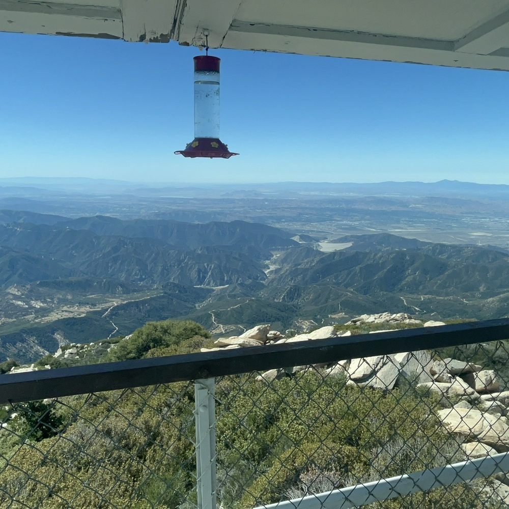
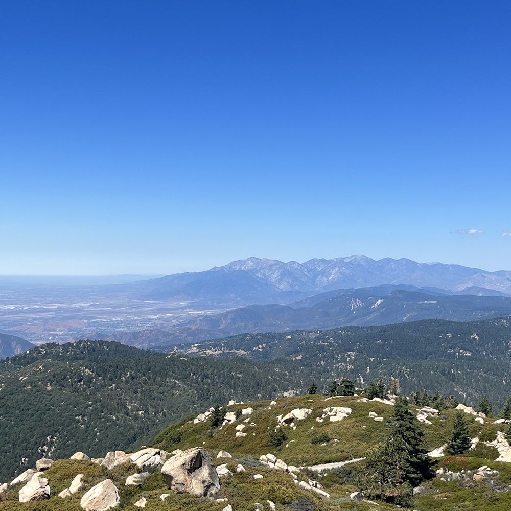
    Easy to get to the watch tower, but it's a narrow road, so drive carefully. Limited parking at the watch tower, had to climb two flights of stairs to get to the top. You are immediately welcomed by volunteers and share their knowledge on the history, activities etc. From the tower, there is a clear view of lake arrowhead and surrounding mountains - it was so beautiful. It's definitely worth taking the time to drive up there, enjoy the view as well as have great conversation with the volunteers. Definitely recommend.
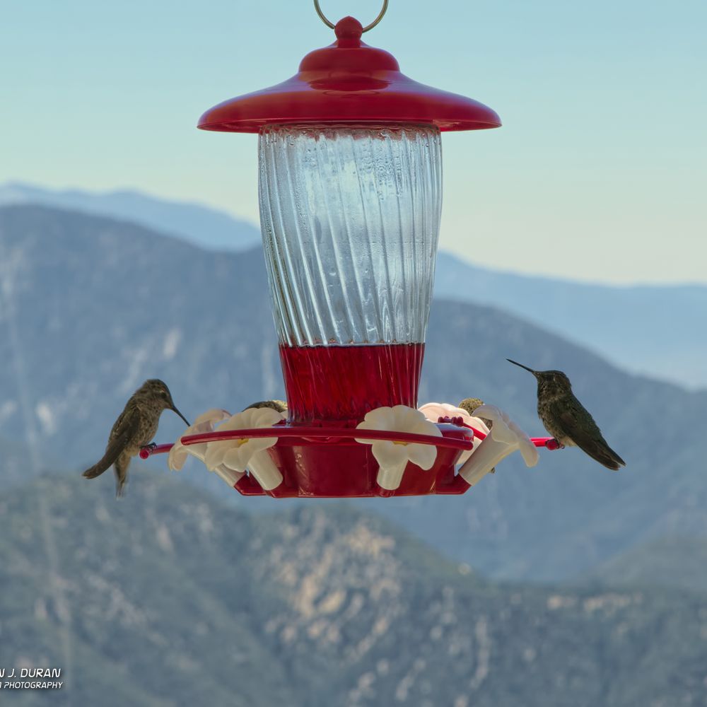
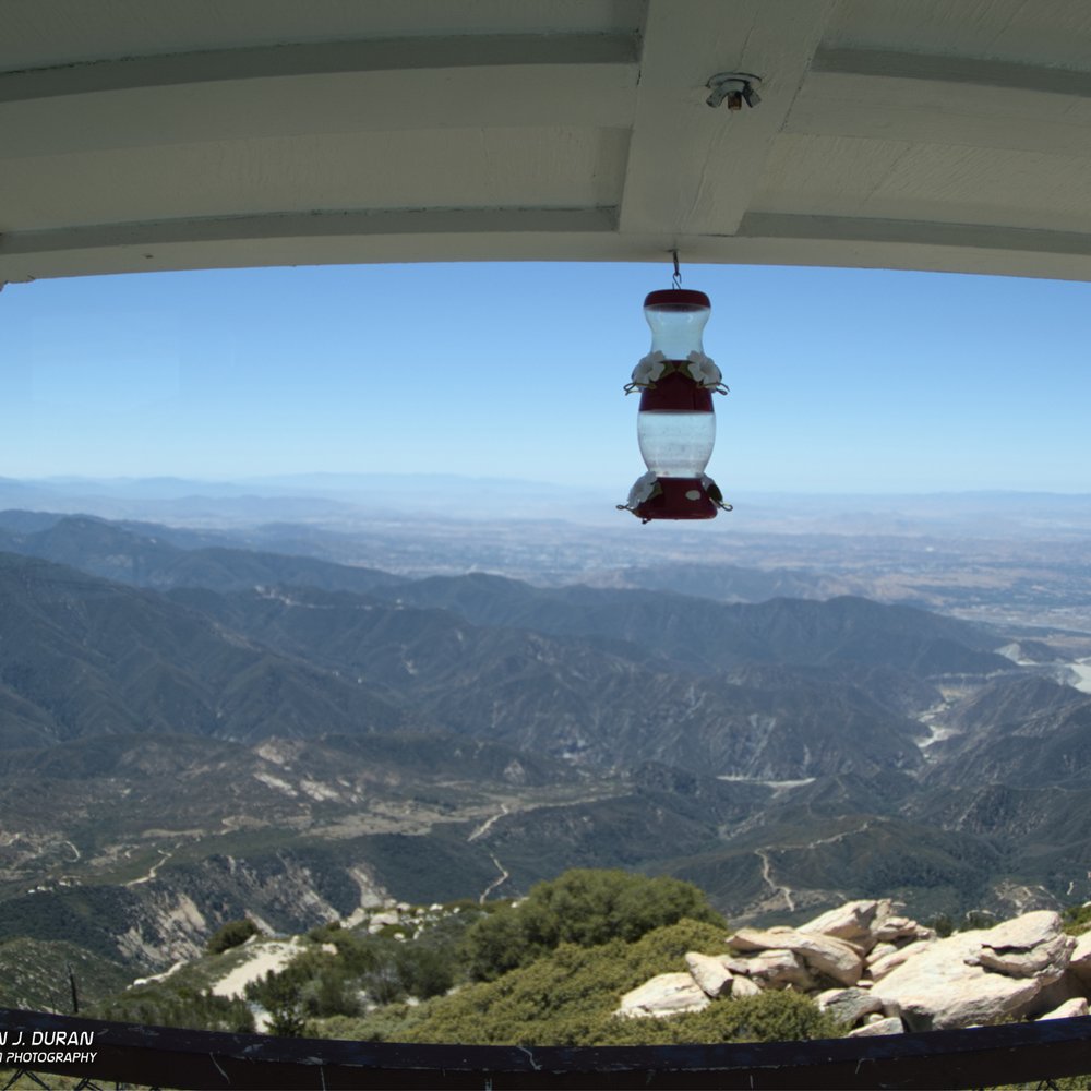
    Hummingbird Feeder at lookout

    See all

    3 years ago

    Helpful 0
    Thanks 0
    Love this 0
    Oh no 0

    5 years ago

    Helpful 3
    Thanks 0
    Love this 1
    Oh no 0
    Photo of Tu H.
    0
    28
    33

    3 years ago

    Helpful 0
    Thanks 0
    Love this 0
    Oh no 0

    2 years ago

    Helpful 0
    Thanks 0
    Love this 0
    Oh no 0
    Photo of Brian U.
    0
    2129
    128

    5 years ago

    Helpful 1
    Thanks 0
    Love this 1
    Oh no 0

    8 years ago

    Helpful 1
    Thanks 0
    Love this 2
    Oh no 0

    9 years ago

    Helpful 0
    Thanks 0
    Love this 0
    Oh no 0

    8 years ago

    Helpful 2
    Thanks 0
    Love this 0
    Oh no 0

    7 years ago

    Helpful 1
    Thanks 0
    Love this 0
    Oh no 0
    Photo of John W.
    1
    33
    15

    9 years ago

    Great hike! Great Lookout and you can actually spend the night in the fire lookout. You gotta sign up with the forest service.

    Helpful 1
    Thanks 0
    Love this 0
    Oh no 0

    11 years ago

    Helpful 1
    Thanks 0
    Love this 0
    Oh no 0

    Ask the Community - Keller Peak

    Review Highlights - Keller Peak

    It's also great in the summer because they let you up to the top of the tower which has a panoramic view.

    Mentioned in 6 reviews

    Read more highlights

    You might also consider

    Verify this business for free

    People searched for Hiking 1,985 times last month within 15 miles of this business.

    Verify this business

    Castle Rock Trail

    Castle Rock Trail

    4.6(246 reviews)
    5.8 mi

    This is a beautiful trail, but a little tougher than expected! There seem to be quite a few…read moredifferent trails/routes you can take, but I'd plan for about 2-3 miles minimum (in the altitude it feels longer lol). They recently added a parking lot, which made it so much more convenient for parking and to find the start of the trail! I'm so glad they did this. I'd still say the earlier arrival, the better, so you can get a parking spot. For the trail itself, it's a good workout - there are both uphills & downhills. Once you get to the top, there are beautiful views of the lake.

    After years of not being able to hike this trail (snow, ice, no parking, fires, etc.), I was…read morefinally able to do it! Huzzah for the new parking lot, which has quite a few parking spots, a bathroom, and easy access to the trailhead. Don't let the posted distance of the trailhead fool you - it's very easy to make this hike longer than anticipated. The trail markers are these caged rocks, and sometimes we lost track of them and had to guess. There are also a lot of places to scramble up rocks, which was so much fun. Once we found the sign for Castle Rock, my son (6 yo) and I took a look up, then climbed all the way to the top. The view from the top was amazing! Very much worth it. We took a different rock scrambling path to climb down, so there are options if you decide to climb up. With all of our meandering, scrambling, and just general shenanigans, we finished in about 3 hours feeling pretty accomplished.

    Photos
    Castle Rock Trail - Castle rock!!

    Castle rock!!

    Castle Rock Trail - Big bear

    Big bear

    Castle Rock Trail

    See all

    National Forest Association's Children's Forest

    National Forest Association's Children's Forest

    4.4(15 reviews)
    2.3 mi

    This review is specifically for the Exploration Trail, which is the 8-mile hike located in the…read moreChildren's Forest. I'm relatively new to the realm of hiking, and really enjoyed exploring the Children's Forest this past weekend. I would definitely label this trail as a moderate hike! While there is no major climb or obstacles, the majority of the trail is uphill. Since the trail is located in Running Springs it can also great pretty chilly, so I would suggest a jacket and pants! Luckily a member of our group thought ahead and brought hand-warmers, which were the highlight of my night. Overall, this is a hike that is great for those looking to escape the city life and immerse themselves in fresh air, plus it highlights the beauty of California's forests.

    The children's forest is a great local place to hike, walk, camp, or have a picnic. It is located…read moreoff HWY 18 in Running Springs . One would not necessarily notice the area unless you were looking for it. There are many trails and some loop around so if you can't walk too far you can double back. There is camping and group camping spots available. There are picnic areas and informational trailheads. Safety first , remember cellphones may not work in all areas. Bring food , water, appropriate clothing per the weather. Have a first aid kit accessible for emergencies. Remember that there are animals in the forest . Bring pepper spray or bear spray to scare off most wild animals and humans ! Don't forget your Adventure pass. This can be bought at the Rangers station or Jensen's store off HWY 330 in town.

    Photos
    National Forest Association's Children's Forest
    National Forest Association's Children's Forest
    National Forest Association's Children's Forest

    See all

    Gray's Peak Trail - The lush side of the forest

    Gray's Peak Trail

    4.7(20 reviews)
    7.5 mi

    First, on a Sunday afternoon at the end of October, no parking by noon. My second reason for…read moreremoving a star is that the "female" restroom was out of order, the "male" restroom didn't have a trash can (which I understand, partly, being in the forest). But why have a girls and boys restroom, why not just two bathrooms. And the last reason I kept a star, only one trash reciprocal in the entire parking lot. I believe we should continue to encourage Visitors to "pack it in, pack it out" plus some. How do we do that if we expect then to put it in their car and take it with them? Trailhead has a very descriptive sign, provides lots of good information. Trail is 6.4 miles, 1,174 altitude gain (out/back), dogs allowed on lead, near Fawnskin. This trail offers AMAZING views of Big Bear Lake, bikes also share the trail. (Dog bags provided at trailhead, pls pick up after yourself, and your doggie;) There's so much to explore, get up, and get out there.

    A nice escape, I think it's probably less-trafficked because it's on the North Shore (away from the…read moremain crowds) and a bit away from the Discovery Center. At the top is a rock outcropping where you can get a good view of the lake, albeit partially obstructed. I saw a cinnamon-furred black bear near the top the last time I hiked (June 27, 2017 around 6:15pm), so be on the lookout, keep your distance, and make your presence know (I stomped my feet, and he took notice and slowly went about his business in a different direction than where I was). July 13, 2017: did an evening hike and saw 2 deer, along with a pair of yellow eyes and green eyes (more deer?) at night, and three scorpions along the trail. You will need an Adventure Pass to park in the lot, but alternatively you can park along the road (a good spot is by the Eagle habitat warning sign).

    Photos
    Gray's Peak Trail - Only a few nice views in the begining and the end of the hike.

    Only a few nice views in the begining and the end of the hike.

    Gray's Peak Trail - Hanna Rocks at sunset, seen about 2/3 of the way up the trail.

    Hanna Rocks at sunset, seen about 2/3 of the way up the trail.

    Gray's Peak Trail

    See all

    Green Valley Campground - Nighttime

    Green Valley Campground

    4.2(67 reviews)
    3.5 mi

    Had a blast spending our weekend here. Rangers are prompt and please do purchase firewood on site…read more(it's cheaper than other places and works great) Quiet area and enjoyed everything. Restrooms are clean with toilet paper and sink. Just no paper towels (take a hand towel) Stayed from 6/19/20 to 6/21/20 and all slots were taken but everyone was respectful to each other. Ground is dirt and bit not leveled well so do be wise to where you want to place your tent. One slot can have about 2-4 tents (depending on the tent size) we have 1- 4person and 2-2 people tent ... worked out great! Will definitely be back :)

    Rasist lady! We had first asked a park Ranger by the name of Joseph if we could have music, he…read moretold us "yes you can, and the level you have it at is perfect but not any louder" Moments later while chopping wood for the fire pit, a white woman near our campsite (#26) comes towards us with a nasty attitude. She says that it's her day off and that the music on the campsite is not allowed. She was literally yelling at us and this was our first time speaking to this woman. Understandable to be mad if you this was our second warning but it was not. We did nothing wrong we just did not know. She came at us with intentions to fight and did not try to communicate with us. We told her that the other ranger told us that the music was fine. THEN she calls Joseph on speaker and starts getting mad at him and legit arguing with him in front of us. We literally tuned off the music and gave her what she wanted but she would not leave our spot. She said that she was gonna call the cops. But we were not fighting or arguing.... We gave her what she wanted. She said "if you get difficult I will have to start recording for my protection" CLASIC Karen move. The literal next day, our camp neighbors had music (in English) and she had not problem with it. We heard that music the whole day. But let it not be music in Spanish cause they she feels the need to record.... After this embarrassing interaction, both rangers actively avoided us.... We reserved the week and only spent 1 night. The spot was great, the staff not so much.

    Photos
    Green Valley Campground - Birds galore

    Birds galore

    Green Valley Campground - Little stream by our campground

    Little stream by our campground

    Green Valley Campground - Lake

    See all

    Lake

    Butler Peak Fire Tower - View from the top

    Butler Peak Fire Tower

    5.0(2 reviews)
    4.8 mi

    It's a long hike. It was about 13 miles, and the trails get rough around some areas such as…read morerequiring you to jump over fallen trees blocking the way, or jumping across gaps in the road caused by rainfall from the storms, so not good for people with health problems or bad knees/feet. But the view is great, and the trail was completely empty when I went. Literally only saw 1 group on the way up and another on the way back down. The fire tower was completely empty and I probably sat up there enjoying the cool breeze and great views for about 30 minutes before heading back down. At the top you can view everything, even saw as far as lake arrowhead but couldn't find LA. Either due to the smog or maybe the mountain blocking the view but still a great sight to see. Getting there is a little tough. Google maps said there was no route to drive so we had to drive up Fawnskin as close as I could get until I saw a closed sign at the trail head. I parked next to the gate and started walking my way up. I recommend you bring a lot of water and snacks because it is a long hike.

    "Highlight of Big Bear Area!"…read more Venture up from Fawnskin (4x4) to the locked gate(call ahead, sometimes it is open). From the locked gate, you will hike uphill 2.5 miles to the bottom of the tower. There is shade in a few spots on the way up. Plan accordingly and bring plenty of water. During the summer season or fire season, you will likely find a volunteer in the tower. Climb up and you are welcomed in to some spectacular 360 degree views. The hosts are great in pointing out the landmarks, sights and history of the tower. They seem to really enjoy the company. Unlike other areas towers that you can drive the entire way, you have to work a bit to get to Butler. But you will be rewarded with less people, if any at all and fantastic views.

    Photos
    Butler Peak Fire Tower - View from the top

    View from the top

    Butler Peak Fire Tower - Rock formation along the trail

    Rock formation along the trail

    Butler Peak Fire Tower - Drive to Butler Peak

    See all

    Drive to Butler Peak

    Keller Peak - hiking - Updated September 2026

    Loading...
    Loading...
    Loading...