Pisgah National Forest Photos


More like Pisgah National Forest
Recommended Reviews - Pisgah National Forest
Start your review...


Reviews With Photos


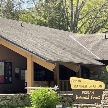
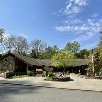
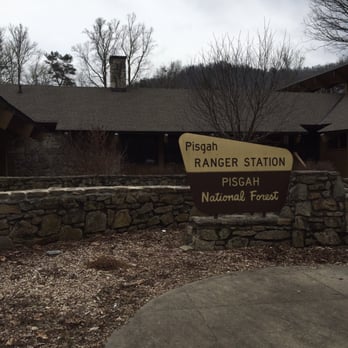
Pisgah National Forest and the US 276 drive from Brevard to the Blue Ridge Parkway is still, in our view, one of the most beautiful and breathtaking roads in America. As it winds along the Davidson River, the views of mountains and waterfalls are spectacular, the hiking and biking opportunities numerous, the fishing and picnicking a great joy -- everything along this road is so appealing. As always, get started at the Pisgah Ranger Station where you'll find maps, exhibits, souvenirs and very helpful rangers with advice on experiences ranging from the best trails to important weather conditions. And don't forget to stop by the fish hatchery a short distance away. There's so much to see and so -- give yourself plenty of time. This is a memorable trip. We are blessed to have been here so many times, and we eagerly look forward to many, many more.


Very good hikes, Beautiful waterfalls & great swimming hole. Very easy to get to from Asheville. (Entrance is in Brevard)


My loved ones know my love language is a good outdoor adventure--and Pisgah has been the setting of a few. But this time we took our pup! And the trails we hit are Jäger approved. There are so many trails for every level. Make sure to stop by the visitor center to chat with the ranger if you have any questions or need trail suggestions. The BRP was closed the day we went due to weather, and we would not have known that if we didn't stop in. I also suggest using All Trails so you can see the difficulty level and duration. Be sure to download maps because service will drop--there are no cell towers in the park.


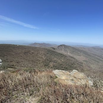
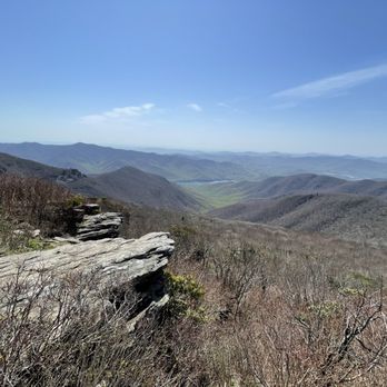
We love the hiking in this national forest. Some of the trails we've previously enjoyed include Black Balsam Knob, Max Patch, Looking Glass Rock, Graveyard Fields, Linville Falls, and Hawksbill Mountain. I'm sure there are more I'm forgetting too. We spent a long weekend in Asheville and hiked John Rock Trail one morning. We were there in January early in the morning and it wasn't crowded. There was a bit of ice in a few spots, but it wasn't too bad. The views were gorgeous. If you're looking for good hiking in the NC mountains are, odds are you'll end up at this national forest at some point.


Driving to the ranger center at the entrance at present yielded a building where there were no tail maps available, and the outdoor deck with maps and information was blocked off for some reason. No restrooms were available, but signs indicated that there were some at a picnic area a mile back. However, at the picnic area there were a bunch of individual restrooms, all closed. I'm sure these things supposedly have something to do with coronavirus, but it just seems like whoever is running this park decided to give visitors a giant middle finger for some reason. Setting that stuff aside, most of the park is outdoors and it is quite beautiful. The parking for some attractions was limited on the reasonably nice day I visited; but there are some good sights. I didn't go far up into the Blue Ridge parkway, but the views over from nearby South Carolina suggest that the whole area is excellent forest, with varied topography and plenty of rivers and streams. It's definitely worth visiting.


Pisgah National Forest is such a beauty! My husband and I drove through on our way to the Great Smoky Mountain National Park and I was so pleasantly surprised by the quiet, unrefined splendor of the Forest. We pulled into a parking spot and shimmied down a natural pathway to get a closer look at the creek. It was so silent and pristine. There were tiny fish in a pool of water near the bank. And we paused there to watch them and take in the wilderness. The drive through Pisgah itself is a picturesque one. But watch out for those curves! We saw a downed 'caution' sign on a tight turn our way through the Forest and completely understood how a car might loose control. Also, there's no fee to enter the Forest!


Great area for hiking. We did the Looking Glass trail which was 6 miles round trip. It was a bit wet on the trail but, everything went smoothly. Very nice view once you reach the top. Wasn't much to see since it was winter and everything was dead. There are a few spots on the trial where you are able to stop and rest.


This is one of my favorite spots ever. Came here as a kid and decided to bring my son for vacation. He loves it too! Lots of great spots to check out. Waterfalls are amazing. There is a small shop where you can purchase mugs, shirts, etc. and there is a bathroom as well. Can't wait to come back soon.


Can't say enough about this wonderful place packed full of exquisite and memorable sites!!! Be forewarned, you'll need at least a week or more to take in all the amazing waterfalls and trails!! Many of which are clustered close to one another. So you can hit several trails within reasonable proximity, as well as waterfalls reachable without hiking, for those who are physically challenged or unable to manage a moderate to difficult hike. Most places have bathroom facilities, but not all, so plan accordingly. There are some gift shops at the park visitor centers, so you can pick up some cool souvenirs, like walking stick pins, park decals, park passport stamp books, postcards, guide books, and walking sticks. So if you want to escape the fray and get lost in solitude, head for Pisgah National Park! It's nature's prescription for the weary soul!!!


Excellent place for hiking, site seeing, fishing, horseback riding or just enjoying nature. I hiked looking glass falls, looking glass rock. These two were my favorites. Both located off 276 just north of Brevard. I also hiked Moore cove falls , Sliding rock and several others.
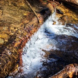

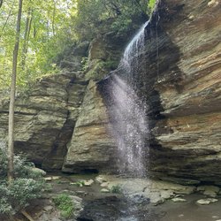
Breathtaking waterfall!!! Is big and a rainbow forms by the rocks! Easy 1 mile trail and small river through the whole trail. Stunning!!! Water was really cold and rocks are slippery, yet it was fun standing under the falling water!!!


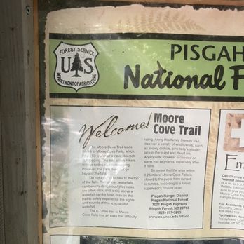
We started our visit with the ranger's station which I recommend to anyone visiting this side of the Pisgah near Hendersonville. We spoke to a very nice ranger who helped us decide which trails to hike. He was very knowledgeable and gave us all the details we needed. There was a really nice gift shop at the Ranger's Station where we bought some shirts and caps. Sliding Rock: My daughter slid down Sliding Rock a few times and really enjoyed it before she fell down on the rocks while walking back to the rock to slide again. Thankful we had a first aid kit even though it was just a scrape and a bruise. Overall I felt like the fee to get into Sliding Rock was worth it. The bathroom facilities were good and the fee also goes towards paying for lifeguards and other employees to keep order on the rock. They police the line and make sure everyone follows the rules such as no alcohol. It was a family friendly vibe for sure. Moore's Cove was our favorite hike which we thought was the most beautiful. It's gorgeous, an easy one to do if you have any kiddos with you. There's a beautiful stream and butterflies were everywhere. The entire forest was so very lush and green. After our hikes we returned the next day and visited the Cradle of Forestry building. We paid to see an exhibit and video which was worth the fee.


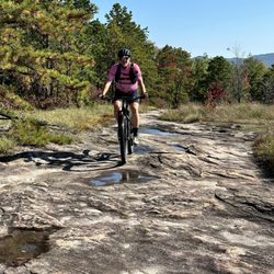
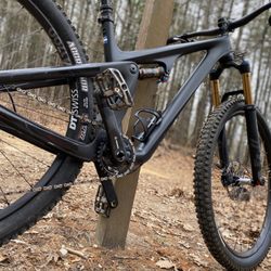
I LOVE mountain biking here! I'll update the list of trails I've visited as I do them. **FONTA FLORA TRAIL** So this is a newer one and I tried it for the first time during the last part of the summer. It was BEAUTIFUL! It is a multi-use trail. The trail starts in a nice parking area (be careful of the sharp, steep curbs though!). From there, I went through an open area. It was currently just sort of a mud pit, BUT it looks like they are building something there. Type of trail: flowy, no huge ascents or descents, but just a nice trail with no hike your bike spots. There aren't really any super technical spots so I would give the tail an easy rating. Pretty much anyone could do it (given you've ridden trails before). Aesthetics: as you wind your way around Lake James, you will sometimes see gorgeous views of the lake, but mostly you will see a beautifully planned trail through an old growth forest. I was absolutely amazed at the beauty. Summary: visit this trail!
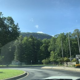

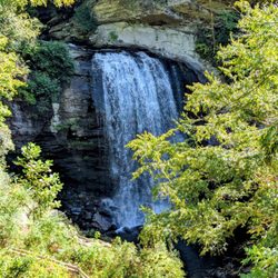
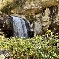
Pisgah National Forest is a spectacular forest stretching across the Appalachian Mountains of western North Carolina. If you love a beautiful scenic drive, this forest is perfect . You will see rushing mountain rivers, massive rock formations, and towering pines, with many overlook spots. For example Sliding Rock and Looking Glass Falls right along the main route. read more


11 months ago
We love PNF. We try and make it at least once a year and get a cabin just outside of Brevard. There is so much to do and so beautiful all seasons. It's snowing right now. We love it up here and will continue to visit Pisgah National Forest as much as possible. read more


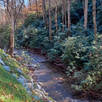

I had so much fun hiking Sam's knob. It was beautiful and shorter compared to looking glass. This park is such a gem. I visited the ranger station before hiking and he game me a wonderful fun fact about the part being named after a biblical mountain. I'll let you look up the rest. If you are looking for waterfalls, sliding rocks, friendly rangers, beautiful summits check this park out. read more


Pisgah National Forest and the US 276 drive from Brevard to the Blue Ridge Parkway is still, in our view, one of the most beautiful and breathtaking roads in America. As it winds along the Davidson River, the views of mountains and waterfalls are spectacular, the hiking and biking opportunities numerous, the fishing and picnicking a great joy -- everything along this road is so appealing. As always, get started at the Pisgah Ranger Station where you'll find maps, exhibits, souvenirs and very helpful rangers with advice on experiences ranging from the best trails to important weather conditions. And don't forget to stop by the fish hatchery a short distance away. There's so much to see and so -- give yourself plenty of time. This is a memorable trip. We are blessed to have been here so many times, and we eagerly look forward to many, many more. read more


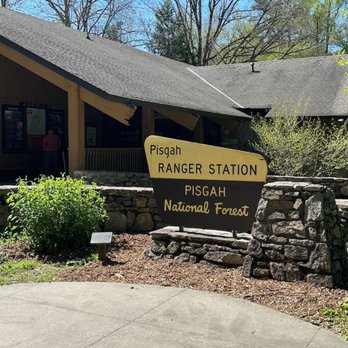

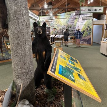


My loved ones know my love language is a good outdoor adventure--and Pisgah has been the setting of a few. But this time we took our pup! And the trails we hit are Jäger approved. There are so many trails for every level. Make sure to stop by the visitor center to chat with the ranger if you have any questions or need trail suggestions. The BRP was closed the day we went due to weather, and we would not have known that if we didn't stop in. I also suggest using All Trails so you can see the difficulty level and duration. Be sure to download maps because service will drop--there are no cell towers in the park. read more


1 year ago

11 months ago

5 years ago
We love the hiking in this national forest. Some of the trails we've previously enjoyed include Black Balsam Knob, Max Patch, Looking Glass Rock, Graveyard Fields, Linville Falls, and Hawksbill Mountain. I'm sure there are more I'm forgetting too. We spent a long weekend in Asheville and hiked John Rock Trail one morning. We were there in January early in the morning and it wasn't crowded. There was a bit of ice in a few spots, but it wasn't too bad. The views were gorgeous. If you're looking for good hiking in the NC mountains are, odds are you'll end up at this national forest at some point. read more


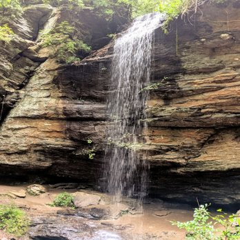


Driving to the ranger center at the entrance at present yielded a building where there were no tail maps available, and the outdoor deck with maps and information was blocked off for some reason. No restrooms were available, but signs indicated that there were some at a picnic area a mile back. However, at the picnic area there were a bunch of individual restrooms, all closed. I'm sure these things supposedly have something to do with coronavirus, but it just seems like whoever is running this park decided to give visitors a giant middle finger for some reason. Setting that stuff aside, most of the park is outdoors and it is quite beautiful. The parking for some attractions was limited on the reasonably nice day I visited; but there are some good sights. I didn't go far up into the Blue Ridge parkway, but the views over from nearby South Carolina suggest that the whole area is excellent forest, with varied topography and plenty of rivers and streams. It's definitely worth visiting. read more


Pisgah National Forest is such a beauty! My husband and I drove through on our way to the Great Smoky Mountain National Park and I was so pleasantly surprised by the quiet, unrefined splendor of the Forest. We pulled into a parking spot and shimmied down a natural pathway to get a closer look at the creek. It was so silent and pristine. There were tiny fish in a pool of water near the bank. And we paused there to watch them and take in the wilderness. The drive through Pisgah itself is a picturesque one. But watch out for those curves! We saw a downed 'caution' sign on a tight turn our way through the Forest and completely understood how a car might loose control. Also, there's no fee to enter the Forest! read more


Great area for hiking. We did the Looking Glass trail which was 6 miles round trip. It was a bit wet on the trail but, everything went smoothly. Very nice view once you reach the top. Wasn't much to see since it was winter and everything was dead. There are a few spots on the trial where you are able to stop and rest. read more


This is one of my favorite spots ever. Came here as a kid and decided to bring my son for vacation. He loves it too! Lots of great spots to check out. Waterfalls are amazing. There is a small shop where you can purchase mugs, shirts, etc. and there is a bathroom as well. Can't wait to come back soon. read more


5 years ago


Can't say enough about this wonderful place packed full of exquisite and memorable sites!!! Be forewarned, you'll need at least a week or more to take in all the amazing waterfalls and trails!! Many of which are clustered close to one another. So you can hit several trails within reasonable proximity, as well as waterfalls reachable without hiking, for those who are physically challenged or unable to manage a moderate to difficult hike. Most places have bathroom facilities, but not all, so plan accordingly. There are some gift shops at the park visitor centers, so you can pick up some cool souvenirs, like walking stick pins, park decals, park passport stamp books, postcards, guide books, and walking sticks. So if you want to escape the fray and get lost in solitude, head for Pisgah National Park! It's nature's prescription for the weary soul!!! read more





Excellent place for hiking, site seeing, fishing, horseback riding or just enjoying nature. I hiked looking glass falls, looking glass rock. These two were my favorites. Both located off 276 just north of Brevard. I also hiked Moore cove falls , Sliding rock and several others. read more


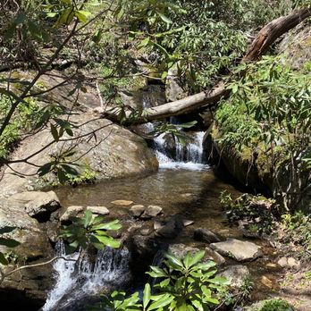


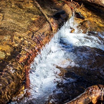
Breathtaking waterfall!!! Is big and a rainbow forms by the rocks! Easy 1 mile trail and small river through the whole trail. Stunning!!! Water was really cold and rocks are slippery, yet it was fun standing under the falling water!!! read more


5 years ago

7 years ago
We started our visit with the ranger's station which I recommend to anyone visiting this side of the Pisgah near Hendersonville. We spoke to a very nice ranger who helped us decide which trails to hike. He was very knowledgeable and gave us all the details we needed. There was a really nice gift shop at the Ranger's Station where we bought some shirts and caps. Sliding Rock: My daughter slid down Sliding Rock a few times and really enjoyed it before she fell down on the rocks while walking back to the rock to slide again. Thankful we had a first aid kit even though it was just a scrape and a bruise. Overall I felt like the fee to get into Sliding Rock was worth it. The bathroom facilities were good and the fee also goes towards paying for lifeguards and other employees to keep order on the rock. They police the line and make sure everyone follows the rules such as no alcohol. It was a family friendly vibe for sure. Moore's Cove was our favorite hike which we thought was the most beautiful. It's gorgeous, an easy one to do if you have any kiddos with you. There's a beautiful stream and butterflies were everywhere. The entire forest was so very lush and green. After our hikes we returned the next day and visited the Cradle of Forestry building. We paid to see an exhibit and video which was worth the fee. read more



7 years ago
I LOVE mountain biking here! I'll update the list of trails I've visited as I do them. **FONTA FLORA TRAIL** So this is a newer one and I tried it for the first time during the last part of the summer. It was BEAUTIFUL! It is a multi-use trail. The trail starts in a nice parking area (be careful of the sharp, steep curbs though!). From there, I went through an open area. It was currently just sort of a mud pit, BUT it looks like they are building something there. Type of trail: flowy, no huge ascents or descents, but just a nice trail with no hike your bike spots. There aren't really any super technical spots so I would give the tail an easy rating. Pretty much anyone could do it (given you've ridden trails before). Aesthetics: as you wind your way around Lake James, you will sometimes see gorgeous views of the lake, but mostly you will see a beautifully planned trail through an old growth forest. I was absolutely amazed at the beauty. Summary: visit this trail! read more


7 years ago
I love coming here there are always a ton of things to do. They have a really cool natural slide they call sliding rock (who would have guessed ha ha), multiple waterfalls, and trails to hike. I came today to do some hiking by the fish hatchery and it went well. There is only one reason I gave this place 4 stars and that is the simple issue with the trail markings. They have not been re marked in a while and sometimes you go quite a ways without knowing if you are on the right path or not (because people have made so many shortcut paths and such sometimes you get confused if you turn or go straight or what not). Besides that the views are amazing and it is typically pretty cool. read more
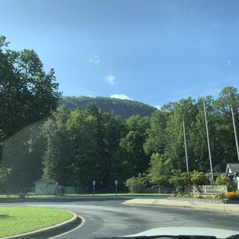


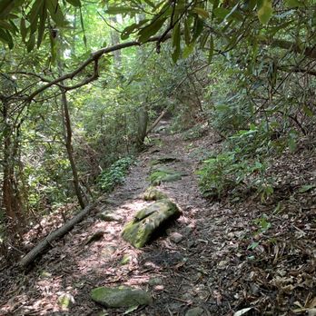


MUST SEE in Asheville. I came here with a group of friends during the fall and it was completely breathtaking. Everything about this place is massive and magical. To get to the trails you basically drive up a mountain for 45 minutes which is scary and exciting at the same time. Once you are up there, there are multiple trails you can choose to hike. We went to the Graveyard fields and hiked around looking for a waterfall. Unfortunately we did not find it, but had a blast in the process and it makes for great photos! read more


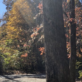


6 years ago
This place is absolutely beautiful! We had a hard time finding the waterfall, but once we did a .5 mile hike (with strollers) and we were in awe. We spent about 2 hours just playing in the water. It's cold and shaded, so make sure the day is warm. I heard this park has about 7 different waterfalls, well I'm making it my business to see each and everyone of them, especially the sliding rock one. Just go! You won't be disappointed. read more


Pisgah National Park is an absolute must when you are in the Asheville area. The Smokey Mountains are breathtaking and you see so many different sites here. This is also where they filmed much of the Hunger Games. I'm not sure where exactly, but you can easily look it up online. We saw a few different waterfalls and just gorgeous views on top of the mountain. We were lucky to have gone on a clear day since it can get pretty foggy which makes it difficult to drive. Bring a map with you! Like a real one. There is no service once you get inside the forest preserve and there is no service at any of the ranger stations. One of the rangers told us a waterfall was about 20 minutes north and 45 minutes later we finally got there. It is so important to have access to a map offline otherwise you may have difficulty finding your destination and getting directions from others isn't always reliable. Also, there are absolutely no signs directing you to the popular destinations making the map even more valuable. The views from the top are so worth it though. Unless you are from the area, you won't see anything like it. I wish we had spent a night camping there and could have seen even more. Its so hard to describe. You can swim at the bottom of a waterfall and walk on the rocks. Even though it was a hassle getting to our destinations, we were just so awestruck when we got there. I wish the signage was better. Even the trails you hike didn't have good signage and it is very easy to get lost in the woods. But, if you are prepared, you will have a great time and see amazing views. read more

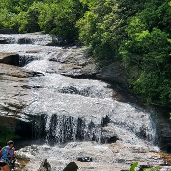

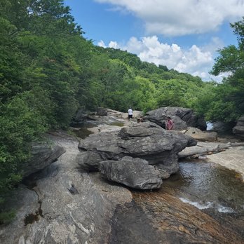

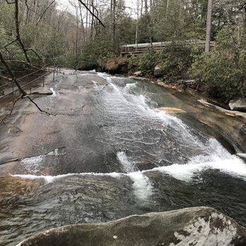
Pisgah National Forest offers a variety of activities ranging from hiking to horseback riding and tubing down the river. There is swimming available in the summer-make sure to check out Sliding Rock for a natural waterslide but take note it gets super crowded during warm months. Looking glass falls is also a great scenic hike and was crowded on the cold wintry day we visited so I imagine it's packed in the summer months. You can picnic in the park and also camp. The Blue Ridge Parkway runs through here and makes for a lovely scenic drive. I'd recommend the fall for a lovely scenic drive with the color changes in full effect, but winter also offered beautiful views since the trees were bare and it was easier to see the sweeping Blue Ridge Mountains. read more


7 years ago
What an incredible place to explore mother nature and view beautiful waterfalls - especially in fall when all the leaves are turning gorgeous gold and orange colors. Looking Glass Falls is a beautiful site to stop at as well as Sliding Rock - which looks like an incredible summer activity when it's open! This in addition to tons of little trails and the Cradle of Forestry made this one of our favorite forests we explored on our road trip! read more


11 years ago
Il love this place. It's so close and easy to get to from my town of Columbia, SC. It's absolutely beautiful!!! We love to come and backpack here. We just got back from backpacking at the Cradle Of Forestry. It's just beautiful there. There's so many great places to see. I love to visit Looking Glass Falls and Sliding Rock!!! We will always be back!!! So close and so beautiful!! Check it out!! read more


4 years ago

7 years ago

We accidentally ended up in Pisgah National Forest when our plans to visit the Pisgah Inn/Mount Pisgah were thwarted by the Blue Ridge Parkway still being closed for the season. We had come up from Asheville on some small back roads and took a way back that routed us through the forest and into Brevard. The forest is beautiful and I'd definitely love to come back to check out some sights in the on season. Unfortunately in late February everything was in bloom and it turns out I'm super allergic to the plants of the area - I had to pull over a couple of different times on our drive through the forest to blow my nose and try to get my eyes open. Unfortunately my allergies made the primary goal getting out of the flora ASAP. We did stop at a ranger station to try to use the restroom, but it was closed. Despite the fairly warm temperatures of 50-60 degrees (at least compared to February in Wisconsin) everything was still in winter mode. read more


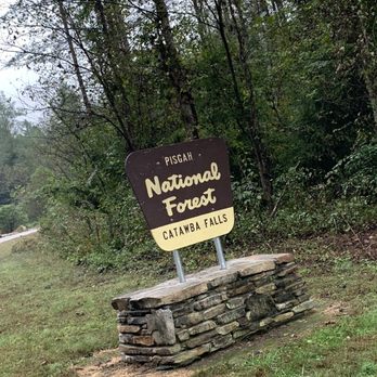
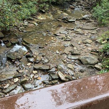
We came here on the recommendation of our pub tour guide Cody. We wanted to see some waterfalls and he said we had to check the Catawaba Falls at Pisgah National Forest. There is a parking lot and a bathroom (beware its more like a plastic toilet over a hole and it can get pretty stinky; but it's nice to have a spot to use the bathroom in the area). It was raining when we arrived but we took the 1.5 mile hike up to the waterfall anyway. There are several smaller trails along the way, some streams and wonderful photo spots. It was breathtaking. It can get a little steep in certain spots and slippery/muddy if its been raining but it's well worth it. We saw several people with their kids and dogs. We didn't realize there was so much to do in the area and if we make it back to Asheville we will definitely have to spend more time there. read more





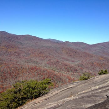
Spectacular nature adventures located only a few minutes from Brevard, NC! My friends and I visited Looking Glass Falls and Looking Glass Rock Trail. Best of all both of these are FREE! No park entrance fees or anything needed. Just bring some snacks and plenty of water for yourselves. There's small parking areas on the side of the road for both of these areas, but go early in the day! Later in the afternoon, it may fill up. The Looking Glass Falls are located right on the side of the 276 road. So if you're not really down to hike, but still want to get up close and personal with a gorgeous waterfall... the Looking Glass Falls is your best bet! We went during the first week of November, so it was pretty chilly standing down by the water! Not very favorable for swimming now, but I bet it's awesome during the spring/summer months. There was a pile of abandoned mismatched flip flops by a bench, so keep track of your shoes! Don't let it float down the creek. For the Looking Glass Rock Trail, I think it's about a 6.5 miles round trip hike. There's only 1 trail up and down the whole mountain, so don't be too worried about getting lost. I would consider my friends and I amateur hikers from Florida (Lol. Seriously, guys... What's a hill?) and we had a pretty easy time of finding our way. There will be a lot of switchbacks... You'll learn to dislike them. Once you get to the end of the trail, you'll come to a flat-ish, open rock area with the most AMAZING view! Take a moment to soak it all in and maybe enjoy lunch up there, while you look out onto all of the mountains and trees. Once you've had enough, head back on the same trial you came from all the way back to your car. No bathrooms, bring hand sanitizer and TP. read more



7 years ago

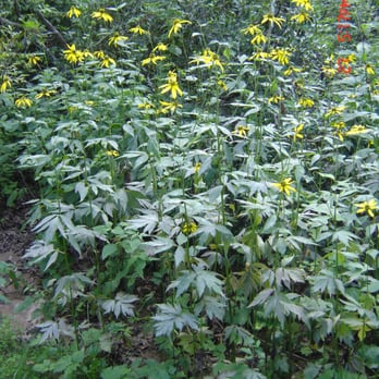
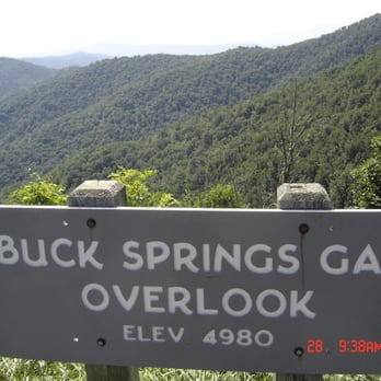
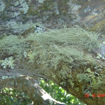
This is a beautiful area with plenty to explore, especially if you're car camping. Make sure you do the Mount Pisgah trail while you're there - the Laurel Mountain Trail is also worth hiking. Stunning vistas and fantastic old-growth trees will be your reward, plus some water and natural formations abound. If you get tired of the camp food head over to the Pisgah Inn and have a fried pie or breakfast - great views there too. Overall a very nice park. read more





4 years ago
Page 1 of 2
More info about Pisgah National Forest
1600 Pisgah Hwy
Pisgah Forest, NC 28768
Directions
(828) 877-3265
Call Now
Visit Website
http://www.fs.usda.gov/recarea/nfsnc/recarea/?recid=48114
Hours
Indoor Amenities
Outdoor Amenities
Other Amenities
Pisgah National Forest Reviews in Other Languages
Ask the Community - Pisgah National Forest
Review Highlights - Pisgah National Forest




















Why does Yelp recommend reviews?
5 reviews that are not currently recommended
The reviews below are not factored into the business's overall star rating.

3 years ago
5 years ago
11 years ago
7 years ago


