Seven Bends State Park Photos


You might also consider

More like Seven Bends State Park
Recommended Reviews - Seven Bends State Park
Start your review...


Reviews With Photos
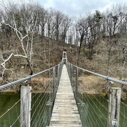

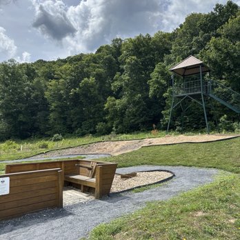
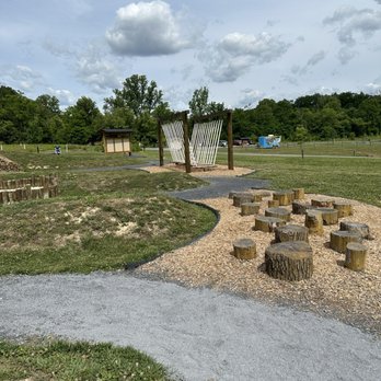
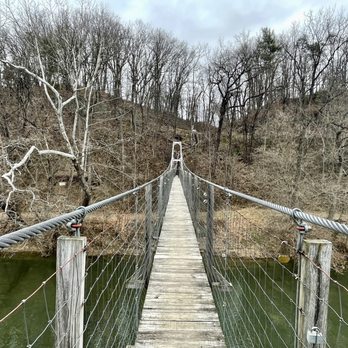
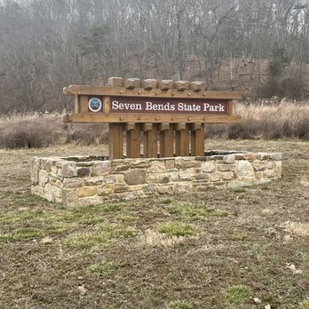
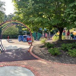
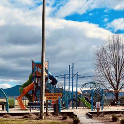
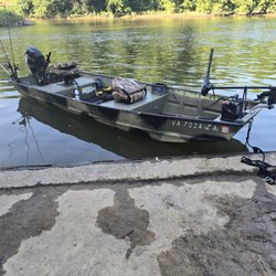
Seven Bends is a good small state park. The park is located a few minutes from the town of Woodstock. Apparently there are two entrances to the park but you'd have to drive out of the park to get to the other side. We entered in the Hollingsworth Road park entrance. To get to this side of the state park, you drive on a one lane gravel road with some pot holes and inclines that might be tricky if your car is low to the ground. We visited on a Saturday morning and it was pretty empty. The day we visited there was a park ranger with a trailer that contained merchandise, but she said they only come every other weekend. The park has a bathroom, but no permanent visitors center. The cost to park at the park is $5, unless you have the state park pass. The park had a really cool children's area. It had different activities like a rope bridge, slide, wood balance beam with signs about different nature related information. The park also had kayak launches. There were some trails we walked along by the river. My favorite part was right outside the entrance to the park, there is a swinging bridge you can walk over. Definitely recommend trying that on your way out.


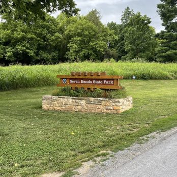
As the newest park in the Virginia state system, Seven Bends provides over 8 miles of hiking for all abilities along the north fork of the Shenandoah River and surrounding areas. There are two entrances to the park: Lupton and Hollingsworth; both involve narrow roads and tight turns and a single lane bridge. From my experience, the Lupton entrance is the way to go. Note that the roads from the two entrances do not connect inside the park. After parking just inside the entrance, me and my boys hopped on the very easy Gokotta trail that led us along the river about a mile north of the lot. From there we backtracked along Lupton road to the trailhead of the challenging River Bend Rise trail. Modest changes in elevation are sure to keep you working hard along that trail! You can either take the loop around at the end or continue on to the other half of the park; we opted for the former. There are multiple river access points and two dedicated boat launches. Note that this park, while still open, is still under development. The long term plan includes campsites, yurts, expanded trails, and scenic platforms. Can't wait to see the finished product!


While the park is not far from the highway, it doesn't feel that way at all. Going to the main parking lot requires a drive over some gravel roads and across a one-lane bridge past a vineyard, eventually leading to some facilities and a self-pay station. The park is riverside, but trails lead up a considerable grade, and I was huffing and puffing well before exhausting what was available. It was a quiet space with dynamic flora. The views aren't what you get on top of the mountain range, but it's a different kind of pleasure. read more


The kayaking experience--floating around the river--at Seven Bends State Park was really the highlight of my long weekend in Shenandoah Valley. We arrived at 8:30AM on Sunday of Labor Day weekend and were the first and only people there apart from the two rangers who helped us with instructions on how to reserve the kayaks. There were only 8 kayaks so come early or reserve them the day before. The kayak is self-serve so if there's no rangers when you arrive, just give the park a call and someone will assist you. Also, the rent price for the entire day, coming from DC, that is a steal. Admission to the park is $5 and you just need to put it in an envelope and a box. It's an honor system. The kayak will take you downstream to Lupton access. It's about 4 miles trip. Unfortunately, there's no shuttle back to the Hollingsworth access so you just have to walk the 3 miles back. Signal is spotty so you can't call Uber also there's not any. But it's a very enjoyable scenic route! Wear proper footwear to walk back. I highly recommend Seven Bends State Park for kayaking in Shenandoah Valley! read more
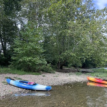


Seven Bends is a good small state park. The park is located a few minutes from the town of Woodstock. Apparently there are two entrances to the park but you'd have to drive out of the park to get to the other side. We entered in the Hollingsworth Road park entrance. To get to this side of the state park, you drive on a one lane gravel road with some pot holes and inclines that might be tricky if your car is low to the ground. We visited on a Saturday morning and it was pretty empty. The day we visited there was a park ranger with a trailer that contained merchandise, but she said they only come every other weekend. The park has a bathroom, but no permanent visitors center. The cost to park at the park is $5, unless you have the state park pass. The park had a really cool children's area. It had different activities like a rope bridge, slide, wood balance beam with signs about different nature related information. The park also had kayak launches. There were some trails we walked along by the river. My favorite part was right outside the entrance to the park, there is a swinging bridge you can walk over. Definitely recommend trying that on your way out. read more


9 months ago

As the newest park in the Virginia state system, Seven Bends provides over 8 miles of hiking for all abilities along the north fork of the Shenandoah River and surrounding areas. There are two entrances to the park: Lupton and Hollingsworth; both involve narrow roads and tight turns and a single lane bridge. From my experience, the Lupton entrance is the way to go. Note that the roads from the two entrances do not connect inside the park. After parking just inside the entrance, me and my boys hopped on the very easy Gokotta trail that led us along the river about a mile north of the lot. From there we backtracked along Lupton road to the trailhead of the challenging River Bend Rise trail. Modest changes in elevation are sure to keep you working hard along that trail! You can either take the loop around at the end or continue on to the other half of the park; we opted for the former. There are multiple river access points and two dedicated boat launches. Note that this park, while still open, is still under development. The long term plan includes campsites, yurts, expanded trails, and scenic platforms. Can't wait to see the finished product! read more




5 years ago
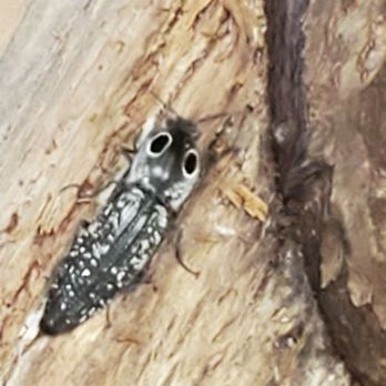
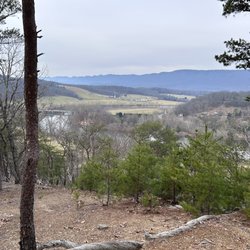
The new Seven Bends, VA State Park! Only 65 min from my house. I took the Best hike here, I've had in quite a while.. pretty darn strenuous but some great rewards as well.. walking along the Ridgeline, thru the trees you can see the town and the mighty Shenandoah River. Mountain tops staring back at you are beautiful. Saw a hawk up on the ridge, and lots of other wildlife as well. Frogs, bunnies, and skinks. I'm 100% sure there are rattlesnakes in fallen rock and rock lying areas as well as bear, being full on Back Country, you should know before you go. Be prepared with a map, a whistle and water! Stay alert and enjoy nature. Want to river raft and cook on the grill instead? Hey, you're in luck! Lots of grill posts and Picnic tables, just be sure to *Pack it in, pack it out. And *give a hoot don't pollute. *Keep America beautiful. . . And if you've come this far, why not also check out the Woodstock Tower. You're right there any way. Spent a lot of the 90's up there! Great views. (Not part of this park). Enjoy! read more


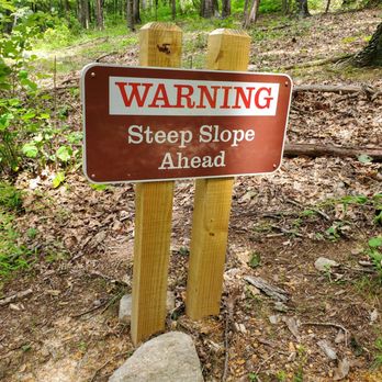


More info about Seven Bends State Park
Ask the Community - Seven Bends State Park


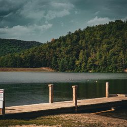
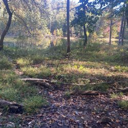
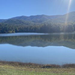











Seven Bends State Park - parks - Updated September 2026
Best of Woodstock
People found Seven Bends State Park by searching for…
River Swimming in Woodstock, VA
Hiking Trails With Waterfalls in Woodstock, VA
Scenic Overlook in Woodstock, VA
Lookout Points in Woodstock, VA
Places to Swim in Woodstock, VA
Parks for Picnics in Woodstock, VA
Swimming Lakes in Woodstock, VA
Things to See in Woodstock, VA
Fishing Spots in Woodstock, VA
Off Leash Dog Hiking Trails in Woodstock, VA
Trending Searches in Woodstock, VA
Apple Orchards near Seven Bends State Park
Apple Picking near Seven Bends State Park
Archery near Seven Bends State Park
Barbershop near Seven Bends State Park
Baseball Fields near Seven Bends State Park
Blow Dry Bar near Seven Bends State Park
Consignment Shops near Seven Bends State Park
Corn Maze near Seven Bends State Park
Dog Friendly Things To Do near Seven Bends State Park
Dog Parks near Seven Bends State Park
Eyelash Extensions near Seven Bends State Park
Formal Wear near Seven Bends State Park
Kids Birthday Party near Seven Bends State Park
Makeup Artists near Seven Bends State Park
Mens Suits near Seven Bends State Park
Parks With Pull Up Bars near Seven Bends State Park
Photo Spots near Seven Bends State Park
Picnic Areas near Seven Bends State Park
Places To Take Pictures near Seven Bends State Park
Playgrounds near Seven Bends State Park
Private Schools near Seven Bends State Park
Public Shower near Seven Bends State Park
Pumpkin Patches near Seven Bends State Park
River Swimming near Seven Bends State Park
Scenic Overlook near Seven Bends State Park
Browse Articles
Browse Nearby
BEST of Woodstock, Virginia Things to Do near Seven Bends State Park
BEST of Woodstock, Virginia Coffee near Seven Bends State Park
BEST of Woodstock, Virginia Playgrounds near Seven Bends State Park
BEST of Woodstock, Virginia Restaurants near Seven Bends State Park
BEST of Woodstock, Virginia Breakfast near Seven Bends State Park
BEST of Woodstock, Virginia Walking Trails near Seven Bends State Park
BEST of Woodstock, Virginia Day Trips near Seven Bends State Park
BEST of Woodstock, Virginia Resorts near Seven Bends State Park
BEST of Woodstock, Virginia Campgrounds near Seven Bends State Park
Browse Brands
Related Searches in Woodstock, VA
Best Parks for Parties and Events in Woodstock, Virginia
Best Water Parks for Kids in Woodstock, Virginia
Check Out Great Playgrounds in Woodstock, Virginia
Discover Baseball Fields Around Woodstock, Virginia
Discover Lakes & Ponds to Explore in Woodstock, Virginia
Discover Popular Bike Trails in Woodstock, Virginia
Discover Soccer Fields in Woodstock, Virginia Near You
Discover Top Nature Parks to Visit in Woodstock, Virginia
Discover the Best Beaches in Woodstock, Virginia
Enjoy Hiking Adventures in Woodstock, Virginia
Enjoy the Best Walking Trails in Woodstock, Virginia
Explore Easy Hikes Perfect for All in Woodstock, Virginia
Explore Family-Friendly Zoos and Wildlife in Woodstock, Virginia
Explore Free Picnic Areas Around Woodstock, Virginia
Explore Fun Activities to Do in Woodstock, Virginia
Explore Parks With Pull Up Bars in Woodstock, Virginia
Explore Picnic Parks Near Woodstock, Virginia
Explore Popular Campgrounds Near Woodstock, Virginia
Explore Popular Picnic Areas Around Woodstock, Virginia
Explore Popular RV Parks Around Woodstock, Virginia
Explore Scenic Lakes to Visit in Woodstock, Virginia
Explore Top Dog Parks in Woodstock, Virginia Near You
Explore Top Trampoline Parks in Woodstock, Virginia
Explore Top Water Parks in Woodstock, Virginia Today
Explore the Best Swimming Holes Around Woodstock, Virginia
Find Great Places to Feed Ducks in Woodstock, Virginia
Find Parks and Recreation Activities in Woodstock, Virginia
Find Top Dog Friendly Parks to Visit in Woodstock, Virginia
Find Top Skate Parks in Woodstock, Virginia for All Skill Levels
Find Top-Rated Waterfalls in Woodstock, Virginia Now
Find a Park With BBQ Pits in Woodstock, Virginia
Find the Best Parks BBQ Grills in Woodstock, Virginia
Find the Best Parks for Picnics in Woodstock, Virginia
Find the Best Playgrounds to Visit in Woodstock, Virginia
Great Places to Swim in Woodstock, Virginia
Have Fun at a Splash Pad in Woodstock, Virginia
Locate Tennis Courts Around Woodstock, Virginia
Must-See Tourist Attractions Around Woodstock, Virginia
Picnic Areas With BBQ Pits Available in Woodstock, Virginia
Popular Outdoor Activities to Try in Woodstock, Virginia
Popular Picnic Spots to Visit in Woodstock, Virginia
Safe and Fun Parks for Kids in Woodstock, Virginia
Top Amusement Parks to Visit in Woodstock, Virginia
Top Hiking Trails to Explore in Woodstock, Virginia
Top Playgrounds for Kids to Enjoy in Woodstock, Virginia
Top Running Trails to Explore in Woodstock, Virginia
Top Swimming Lakes to Enjoy in Woodstock, Virginia
Top-Rated Camping Sites in Woodstock, Virginia


