Cancel

Open app

Search

Third Beach

4.2 (6 reviews)

Third Beach Photos

Recommended Reviews - Third Beach

Your trust is our priority, so businesses can't pay to alter or remove their reviews. Learn more about reviews.
Yelp app icon
Browse more easily on the app
Review Feed Illustration

Reviews With Photos

Anthony N.

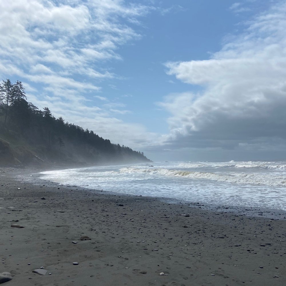
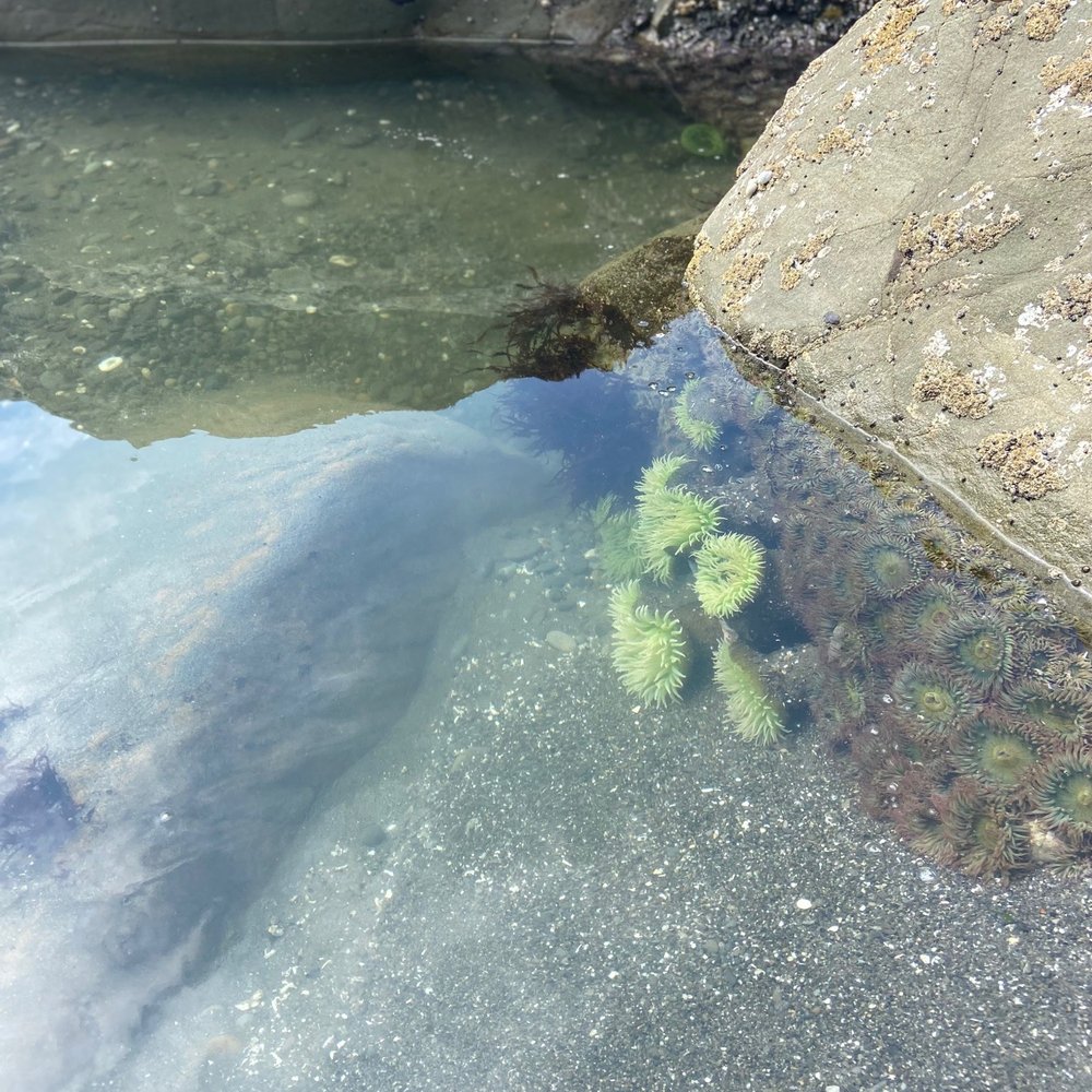
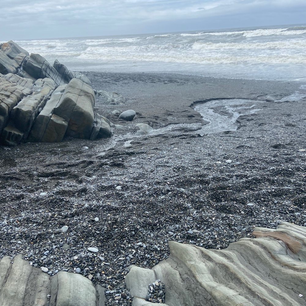
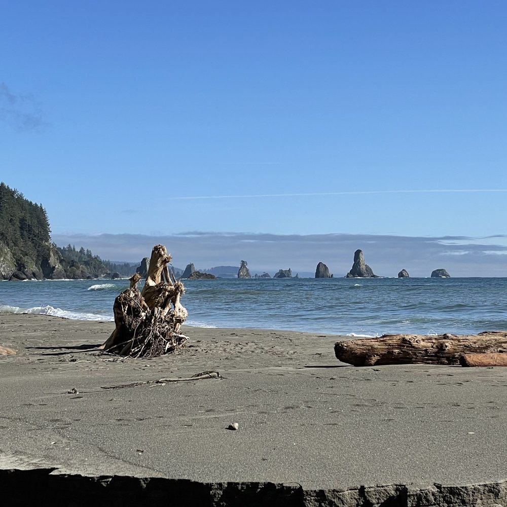
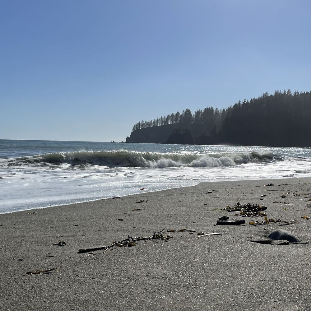
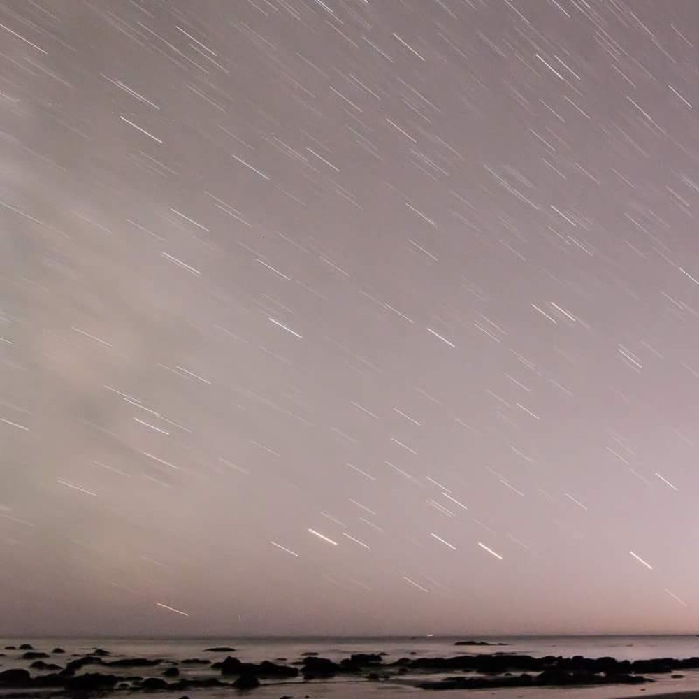
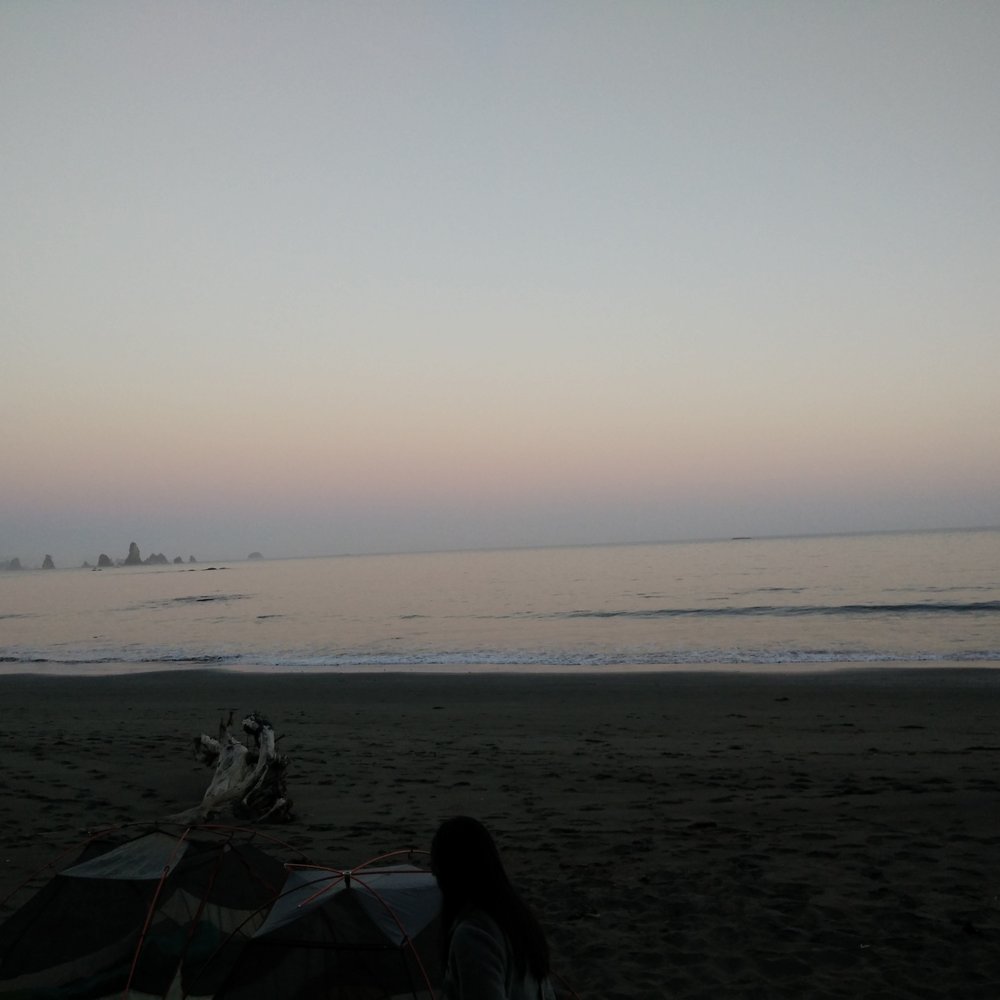
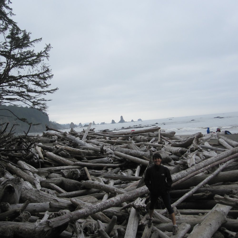
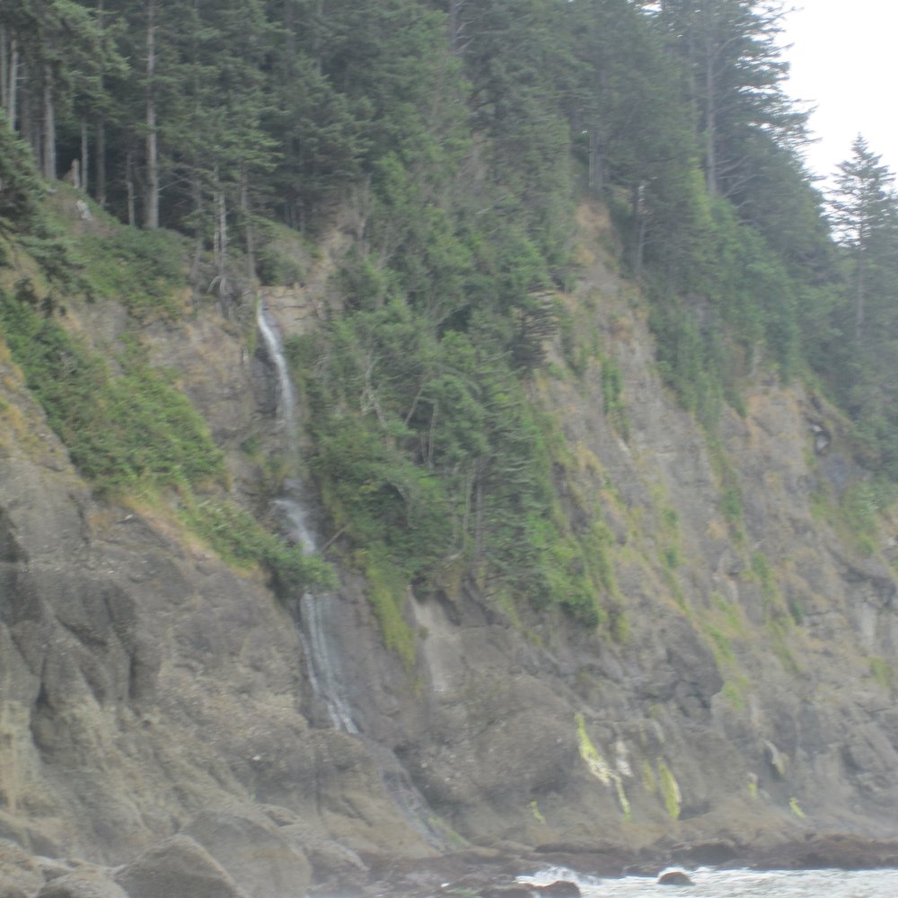
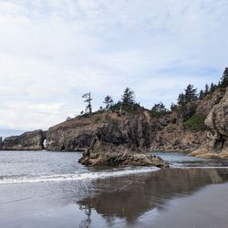
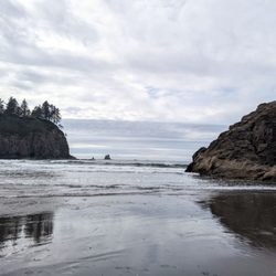
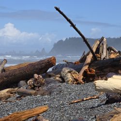
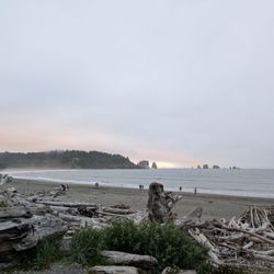
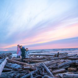
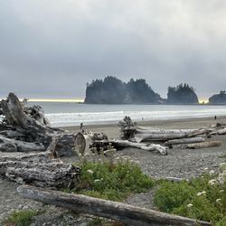
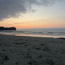
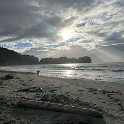
This is an amazing place! My friends and I came here for fourth of July weekend to camp and it was beautiful! It's an easy 1.4 mile hike from the parking area to the beach with an elevation gain of about 250 feet. We got to the trail head around 6pm and the lot was pretty full (from mostly day hikers), but once we got to the beach, there were about 7-10 groups camping along the 1ish mile coast. Remember to call in advance to the ranger stations for bear canisters since you will need them in this area. We had a group of 11 (max of 12/site) and we were ok with 6 bear canisters (they are free to rent, but have a suggested donation of $3 each). You will need to put everything scented in the canisters ie food, toothpaste, sun tan lotion, alcohol etc... There are several streams nearby with fresh water to filter. The closest one to us was super yellow so we walked a little ways away to get clearer water. There are no toilets so you do your business in the woods/sand. This was such an beautiful place to be over the weekend. No connection with the rest of the world, clear skies day/night, super bright stars at night, amazing friends and met a bunch of really cool people as well. I will definitely need to check out the other beaches in the area!

See all

Photo of Kate F.
152
300
2733

5 years ago

Helpful 0
Thanks 0
Love this 1
Oh no 0
Photo of Seth A.
46
1078
9635

5 years ago

Helpful 4
Thanks 0
Love this 1
Oh no 0

5 years ago

Helpful 1
Thanks 0
Love this 1
Oh no 0

4 years ago

Helpful 0
Thanks 0
Love this 1
Oh no 0

11 years ago

Helpful 7
Thanks 0
Love this 1
Oh no 0

15 years ago

Helpful 0
Thanks 0
Love this 1
Oh no 0

Ask the Community - Third Beach

Verify this business for free

Get access to customer & competitor insights.

Verify this business

Sol Duc Falls - Falls trail

Sol Duc Falls

4.8(36 reviews)
37.2 mi

This is a lovely hike, about a mile each way to the falls. I personally found it pretty easy, but…read moreif you have less stamina or arthritis (ie my mother), it's a little challenging. Nevertheless - she was able to do it ok! She just had to stop for a couple breaks along the way. The entire trail is very scenic, there are many cool trees and vegetation plus streams and little bridges along the way, so great for pics! The falls are ofc magical as well. PLEASE heed the park sign's warnings and don't climb the railings, it's so dangerous :( people have gotten killed doing that. But if you keep to where you're supposed to, this trail is absolutely very safe :) The car park is a good size. I came on a Tuesday around 8am, and we had no trouble getting a spot, but this is a famous trail: we noticed on the way out that there were no spots left. Someone immediately took ours when we drove off, so plan accordingly! And ofc they have some NPS bathrooms available here, glorified portapotties in the little cubicle rooms, and hand sanitizer available but no running water.

The hike to Sol Duc Falls was another enjoyable hike that I did while visiting Olympic National…read morePark. Sol Duc Valley in Olympic National Park is a pretty area that has towering evergreens. The Sol Duc Hot Springs Resort is also in this valley. The Sol Duc Trail to the falls is a two-mile drive from the resort and is a easy hike to do. The trail itself is less than a mile long and is shaded with a dense forest canopy. After you cross over a small stream on a bridge, you will see the waterfall tumbling over moss-covered rocks. There are many ways to view Sol Duc Falls. It splits into four channels that cascades 48-feet into a narrow canyon. At certain times of the day, you can see rainbows in the mist surrounding the falls. I was able to take photos of many angles of these falls with my camera. I just wished I had my tripod with me. After spending time here at Sol Duc Falls, you have the option to continue your hike to Deer Lake or turn around and go back to the parking lot.

Photos
Sol Duc Falls - Instagram: @telephonesmoothie

Instagram: @telephonesmoothie

Sol Duc Falls - Instagram: @telephonesmoothie

Instagram: @telephonesmoothie

Sol Duc Falls - Instagram: @telephonesmoothie

See all

Instagram: @telephonesmoothie

Olympic Hot Springs - Log bridge over a creek.

Olympic Hot Springs

3.6(28 reviews)
48.9 mi

Firstly, several of these reviews are for the wrong hot springs. If a review mentions a restaurant,…read moreor a resort, or a time slot, they are referring to the SOL DUC hot springs, not these ones. Also, the reviews that mention that the hike is easy are all outdated! It's a slog to get there! The Olympic hot springs are a 12 mile hike mostly uphill. It used to be a much shorter hike but about five years ago the road washed out and you now have to hike an extra 8 miles... 12 miles total... one way. It's a slog! The springs themselves, while pretty, are shallow, muddy, slimy, and overall pretty gross. The signs warn of fecal bacteria. If you're hoping to hike 12 miles to soak in pristine pools, think again. Nudity is common. If anyone is actually using the hot springs, they will likely be nude. Get over it!! Let the nudists have their place... and 12 miles deep in the woods is a nice place to be nude. You might also see nudists hiking or biking on the trail to the hot springs. It's not common but does happen occasionally. Just smile and say hi! The hike starts off easy on a paved road for about 3/4 of a mile. Then you have to use a single-track dirt bypass trail that is steep and rooty. If you're using a bike you'll be pushing and carrying it over things. Then you're put back on an old paved road again. It's another 2 miles to the Glines Canyon overlook which is fun to see. Then it's another 5 miles on the same road, but now 100% uphill and sometimes steep, just to reach the trailhead. Once at the trailhead, you're already over 8 miles into it and you have another 2.5 or so to hike... bikes not allowed. You have to park at the Madison Falls parking lot. You're supposed to have a National Park pass.

Enchanted springs in enchanted forest, I have camped here quiet a bit when in college…read more Most special hot springs on earth to me. Hike is fun not too strenuous

Photos
Olympic Hot Springs - Mileage once at the trailhead. This is AFTER already hiking over 8 miles uphill.

Mileage once at the trailhead. This is AFTER already hiking over 8 miles uphill.

Olympic Hot Springs - Hot Spring

Hot Spring

Olympic Hot Springs - Bear warning!

See all

Bear warning!

Cape Flattery - View

Cape Flattery

4.9(79 reviews)
33.5 mi

This is SO worth your time if you want to see incredible views of the Washington Coastline. It's a…read morepretty easy hike with walkways, bridges, and foot paths. (Do stay on the main paths or you could risk falling in some areas) There's no charge. Just a winding drive up the mountain to get to the cape. Absolutely beautiful

Such a beautiful location! We visited on a day trip. I recommend staying a few days to enjoy the…read morearea. The area has the typical park style (outhouse) restrooms and garage bins just outside the restroom. The trail path was clean, muddy and recommend hiking shoes. Please keep on path as stated. Several slippery spots. The path has areas with wooden walkways, some with exposed roots and observation view points to keep you safe. Dogs were on trail and area clean. Parking could be scarce but we went on a weekday and was not busy. Cute large chair for photo (added in pictures) and walking sticks were on left side of trail from the chair. At the end of this trail: Right takes you to the beautiful rock formations and small cave image. Left takes takes you to several views of Caves and beyond that takes you to viewpoint of Tatoosh Island. I would not consider this an easy hike due to exposed roots and elevation. Would depend on your experience. Also extra cautious with little one due to end of trail has direct drop down. You will need to stop at the visitors center for a $20 pass. This covers this location and Shi-Shi Beach (no dogs allowed so we didn't go). You can purchase the pass at other locations but the center was super cute. Staff were so helpful and we plan on coming back.

Photos
Cape Flattery - Instagram: @telephonesmoothie

Instagram: @telephonesmoothie

Cape Flattery - Instagram: @telephonesmoothie

Instagram: @telephonesmoothie

Cape Flattery - Love the big chair.

See all

Love the big chair.

Marymere Falls - Chestnut-backed Chickadee along the trail - so many of them and they're so feisty!! One of my faves! (Jan 2025)

Marymere Falls

4.6(68 reviews)
40.5 mi

lovely hike - wide and mostly flat path until the steps to the falls viewing area. ample parking…read moreand close to path leading to lake crescent lodge which has a nice dining room overlooking the crystal blue lake.

I chose this hike because my mother was with me and doesn't have a lot of stamina. The hike is only…read moreabout a mile each way and it's fairly flat right up until the very end, where there is suddenly a pretty steep staircase. My mom made it to the staircase but didn't want to go up, and unfortunately you can't see the waterfall unless you go up. However, there's a cute bridge and little creek right at the bottom there where a lot of other families and older folks had stopped and it's still very enjoyable just to hang out there! If you do go up the stairs, it's only about 4 or 5 flights and then you're at the lookout right by the waterfall. It's quite pretty! Tbh one of my fav things about this trail though was an absolutely MASSIVE and photo-op worthy mossy tree near the beginning of the trail just after you cross under the road. Really liked that! Overall - if you want a shorter, easier walking trail, this is a good one up to the staircase! You can also forgo the whole walk and just take a lap around the lake near the trailhead to see wildflowers and pretty sights.

Photos
Marymere Falls - Some tiny, frost-covered ferns along the trail (Jan 2025)

Some tiny, frost-covered ferns along the trail (Jan 2025)

Marymere Falls - The second bridge you cross where Falls Creek meets Barnes Creek

The second bridge you cross where Falls Creek meets Barnes Creek

Marymere Falls - Views from the trail looking back on the bridge over Barnes Creek

See all

Views from the trail looking back on the bridge over Barnes Creek

Quinault Big Cedar

Quinault Big Cedar

4.6(7 reviews)
46.3 mi

Not to be confused with the largest spruce tree. If you're on your way up to La Push you should see…read morethis sign for the cedar probably about 10-15 minutes outside Amanda Park and kind of on the perimeter of the Olympic Nat'l Forest on North Shore Road. The road is pretty primitive and has huge divots and potholes so proceed with caution. The trail is also pretty muddy even with the slightest rain so again, proceed with caution. With that said, this cedar is actually pretty huge. A large majority of it has collapsed and spilled it's guts onto the forest floor but it's still a neat sight to see. You can walk on it or climb through the holes and just crank your neck up at such a gargantuan natural phenomena. Even with the spilled guts, there is still a lot of tree left standing. It's free to check out and not far off the roadway so it's a quick stop.

The world's biggest cedar is a pretty fantastic tree. The tiny sign next to the road doesn't do it…read morejustice. Park next to the road and prepare for a short, yet epic hike. The hike up to the tree builds just the right amount of anticipation as it's just like climbing up a treehouse. Navigating steep stairs (as high as I could lift my leg) and scampering over tree roots yields a great payoff when you reach the top. Be sure to walk all the way around it as you can actually go inside it. I'm sure there are studio apartments smaller than the inside of this tree. Wear boots as it can get mucky back there! Take some pics and clamber back down. Congrats! Now you've just seen my new favorite tree!

Photos
Quinault Big Cedar
Quinault Big Cedar
Quinault Big Cedar - Washington's biggest tree!

See all

Washington's biggest tree!

Third Beach - hiking - Updated May 2026
Loading...
Loading...
Loading...