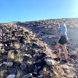
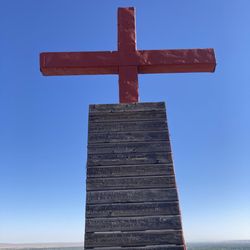
Town of Bingham Photos


More like Town of Bingham
Recommended Reviews - Town of Bingham
Start your review...

10 years ago
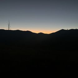
Not much here. No services. Just raunchy homes and trailers. Yet surrounded by majestic natural beauty that is priceless. The sunsets are stunning. read more


More info about Town of Bingham


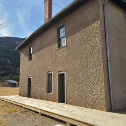
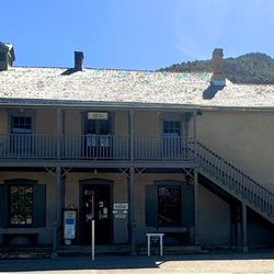


Town of Bingham - landmarks - Updated July 2026
Best of Bingham
People found Town of Bingham by searching for…
Things to Do in Bingham, New Mexico
Watch Sunset in Bingham, New Mexico
Attractions in Bingham, New Mexico
Sunset View in Bingham, New Mexico
Natural Hot Springs in Bingham, New Mexico
Places to Take Pictures in Bingham, New Mexico
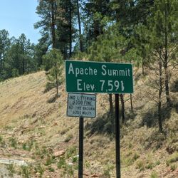
Scenic Overlook in Bingham, New Mexico
Landmarks in Bingham, New Mexico
Public Services & Government in Bingham, New Mexico
Photo Spots in Bingham, New Mexico
Things to See in Bingham, New Mexico
Tourist Attractions in Bingham, New Mexico
View Points in Bingham, New Mexico
Night View in Bingham, New Mexico
Points of Interest in Bingham, New Mexico