Cancel

    Open app

    Search

    Watsonville Wetlands

    4.0 (1 review)

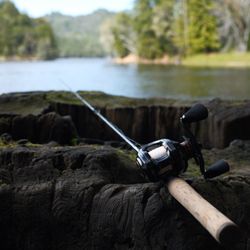
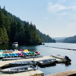
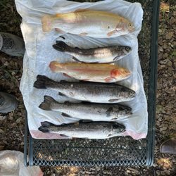
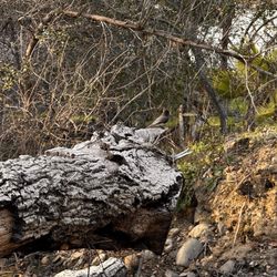
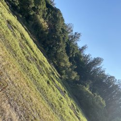
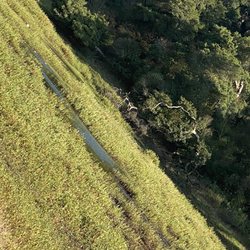
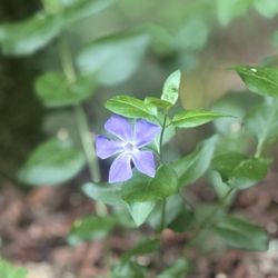
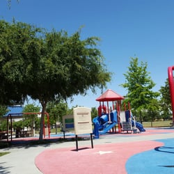
    Watsonville Wetlands Photos

    You might also consider

    Recommended Reviews - Watsonville Wetlands

    Your trust is our priority, so businesses can't pay to alter or remove their reviews. Learn more about reviews.
    Yelp app icon
    Browse more easily on the app
    Review Feed Illustration
    Photo of S D.
    0
    265
    14

    15 years ago

    Helpful 3
    Thanks 0
    Love this 4
    Oh no 0

    You might also consider

    Verify this business for free

    People searched for Hiking 1,185 times last month within 15 miles of this business.

    Verify this business

    Pinto Lake City Park & RV Park

    Pinto Lake City Park & RV Park

    3.3
    (83 reviews)
    2.3 mi

    This is a review of Pinto Lake City Park…read more You may not believe it, but I drove all the way from Costanoa to Downtown (?) Watsonville just to get a breakfast burrito. By the time I got to the market taqueria in question (review upcoming), it was too late for breakfast burritos, so I ordered a regular burrito and then looked for a green spot on the map to eat my (non-breakfast) burrito in peace. That green spot was Pinto Lake City Park, which isn't as green as you believe it will be but which is greener than its surroundings. The park comprises a whopping seventy-eight acres, although seventy of those acres are the southern half of Pinto Lake. The remaining eight acres are mainly the greenish park-looking areas south of the lake and these funny thin strips of land along it southwestern and -eastern shores. There's a different park farther north called Pinto Lake County Park; I didn't drive that far, but if you're having any kind of gathering, make sure everyone knows which of the two Pinto Lake Parks you're actually visiting. Strangely, Pinto Lake City Park is within the city limits of Watsonville even though it's far from Watsonville. How's that again? Well, the park is an exclave of the City of Watsonville. That is, it's a part of the city that's separated from the rest of the city by a few miles of what I assume is unincorporated Santa Cruz County. If you still don't know what I'm talking about, type "Watsonville, CA" into Google Maps. You'll see that Watsonville has three exclaves: one to the south, one to the west, and this one to the north. OK, enough map-nerding. It was already quite hot by the time I got here, and the lack of trees, especially near the lake-view picnic benches, borders on the criminal. What kind of landscape architecture is that, City of Watsonville? It's not the most beautiful lake, so you wouldn't be blocking anyone's views with more trees lakeside. The main part of the park does have quite a few trees, and it looks like a nice city park that gets lots of use. I didn't use the restroom while I was here, but the buildings are in decent shape, and I saw lots of women using the ladies' room, and that's generally a good sign in terms of restroom cleanliness. The parking lot is huge. Besides the lake itself, there's a basketball court, a baseball diamond, plenty of green open space, and a children's playground, I believe. I was surprised by the number of people shore-fishing in the afternoon, although it was a Sunday, so maybe I shouldn't have been surprised. I probably would have enjoyed myself and my burrito more if I had eaten it at one of the tables closer to the park entrance, rather than near the water. Oh well. I guess if I ever wake up early enough to make it to Downtown Watsonville in time, I'll bring that breakfast burrito and eat it on the other side of the park, where it's greener and there's more shade.

    The man at gate house was wonderful and very helpful we were treated terribly at Alpine and was…read morehesitant to go there but Pinto lake was very welcoming Thank You

    Photos
    Free parking
    Free parking
    Pinto Lake City Park & RV Park
    Pinto Lake City Park & RV Park

    See all

    McAlpine Lake & Park

    McAlpine Lake & Park

    2.4
    (70 reviews)
    11.9 mi

    I've had nothing but positive experiences here. It's definitely more focused on the beginner…read moreangler, as the lake is small in size ( approx 7 acres?) and stocked regularly with trout during the cooler months. Small bass, bluegill and catfish are present in the lake also. The lake is maintained by the McAlpine Family, with Chase and Randall providing advice on techniques, tackle and water conditions. Chase is especially well known for his depth of knowledge in the aquatics of the lake and he is responsible for stocking the trout on a regular basis. Sister Scarlett and her husband Rob are managing the lake and also staff the General Store. All are super nice people and customer-friendly. The staff of Chris and "Tahoe Joe" keep the lake and facilities clean and in good order. Shout out also to "Paq" who is a multi-species angler and claims McAlpine Lake as his testing grounds for "Frenzy Spoons", which is his lure manufacturing businesses. Paq also assists at the lake and is quick to share his expertise with novice anglers. Some people "complain" that McAlpine Lake charges both an entrance and overage fee. Listen up folks, this is a private lake that has overhead costs including employee payroll, property/income tax, insurance and $$ per pound of Mt . Lassen Trout (10-12 Hour roundtrip) that Chase picks up and delivers every two weeks or so during Trout Season. There are other places to fish for free, if this doesn't work for you.

    It said you will catch fish. 5 of us went here for a birthday. No one caught anything at all. Never…read morego here. So expensive too

    Photos
    McAlpine Lake & Park
    McAlpine Lake & Park
    McAlpine Lake & Park

    See all

    Anderson Lake County Park

    Anderson Lake County Park

    3.7
    (55 reviews)
    18.6 mi

    Ok so supposedly it cost six dollars to get in to the parking lot. Um... the parking lot I went…read moreinto had nowhere to pay, none, zip,zippo, nadda "not that I'm complaining lol!! Looks like they are doing seismic retrofitting stuff so we couldn't walk over this cool bridge that was over the stream, lots of chain link fence and construction going on... sad face. Wifey and I were able to sit on a bench near the stream "which honestly was quite beautiful if you didn't look to far up" We sat there for about 2 hours watching the Black Phoebe's fly around catching bugs. Beyond that there doesn't seem to be much else going on in this parking lot site. There is another entrance, haven't been there as of yet, maybe that entrance will be better.

    Lake it Easy This…read more±4,300sq ft county park is home to Santa Clara County's largest reservoir at a whopping ±1,300sq ft. (±7 miles long). The Good: *Visitor Center at 19425 Malaguerra Ave, Morgan Hill, CA *First come, first served picnic tables *hiking trails *Horses welcome *Dogs are welcome The Meh: *Only a few miles of trails are currently open *$6/day entrance fee The Ugly: *A large part of the park is currently closed due to seismic retrofit construction project and not expected to re-open until 2030--if we're lucky! *Access to the lake--including fishing--is currently prohibited due to the construction. Conclusion: Not really worth a visit until after the construction project is done.

    Photos
    Anderson Lake County Park
    Anderson Lake County Park
    Anderson Lake County Park

    See all

    Anzar Lake

    Anzar Lake

    5.0
    (1 review)
    7.7 mi

    Anzar Lake. Aromas CA, Sat Aug 7, 2021…read more I love to take the backroads and discover new ways around. There was a bit of a backlog on 101 between Gilroy and Salinas this Saturday afternoon, and I decided to take a detour on Anzar Road towards Aromas. The windy road brought me to Anzar Lake. I'm standing & looking at the dried up lake. The lake is on the maps, and in front of me, I am looking at the wetlands where the lake used to be. The draught is ruthless. There are cows chewing on the greens. My friend Joanna V. sent me a joke about auntie Gertrude and cousin Bertha wandering around marshy grass. My friend Brett B. is saying, these cows are outstanding in their field:) I'm thinking to myself, it's tranquil and pleasant here, and maybe it's a good thing that cows enjoy the former lakebed. In dry years there is little water in the lake, and most of its bottom is dry. Egrets in the distance of the wetlands popping up as curious white spots. Serenity now! Jerry Seinfeld's episode where his new girlfriend encourages him to express his emotions. Laughing now. I believe I'm in touch with my emotions when it comes to nature and wildlife. I'm laughing again, maybe staying in touch with all my yelpers could be challenging at times:) My dear friends, I know most of you girls and boys, for about a decade... isn't time a peculiar thing? We change jobs, places we call home, our preferences and pleasures in life... or sometimes, we don't, but... somehow and through it all, we find ways to connect and have some fun, right? That what it all is about! Cheers my friends! Anzar Lake near Crazy Horse Canyon There's a message floatin' in the air Come from crazy horses riding everywhere It's a warning it's in every tongue Got to stop them crazy horses on the run What a show there they go smokin' up the sky yeah Crazy horses all got riders and they're you and I Crazy Horses Crazy Horses

    Photos
    Anzar Lake, Draught, Cows, Egrets, Wetlands, Marsh, Aromas CA, Sat Aug 7, 2021
    Anzar Lake, Draught, Cows, Egrets, Wetlands, Marsh, Aromas CA, Sat Aug 7, 2021
    Anzar Lake, Draught, Cows, Egrets, Wetlands, Marsh, Aromas CA, Sat Aug 7, 2021
    Anzar Lake, Draught, Cows, Egrets, Wetlands, Marsh, Aromas CA, Sat Aug 7, 2021
    Anzar Lake, Draught, Cows, Egrets, Wetlands, Marsh, Aromas CA, Sat Aug 7, 2021

    See all

    Anzar Lake, Draught, Cows, Egrets, Wetlands, Marsh, Aromas CA, Sat Aug 7, 2021
    Uvas Canyon County Park

    Uvas Canyon County Park

    4.6
    (283 reviews)
    11.2 mi

    This review is specifically for the Waterfall Loop Nature Trail within Uvas Canyon Park, one of the…read moreBay Area's many "hidden gems." Nothing like a relaxing hike along a pristine nature trail to clear the mind and nourish the soul. I noticed that one recent review calls this hike "easy" but as we were climbing the stairs from the parking lot, we encountered two young women who looked to be in their 20s who were going in the opposite direction, returning to the parking lot. "It's beautiful," one of them volunteered to us, "but it's really HARD!" And indeed, on the trail we encountered young people who were visibly panting, even though the Waterfall Loop trail is shorter and easier than others in the park. So you might want to take that into account, FWIW, as the expression goes. It might also be helpful to mention the following: * The rules of this park call for purchasing an entry pass/parking permit online BEFORE you arrive. The reason is the limited number of spaces. Your permit is good for entry during a ONE-HOUR WINDOW for which you make your reservation. The person in the car ahead of us hadn't purchased a permit in advance and was able to use a credit card to purchase it at the entry gate but that might only be done when ample space in the lot is available. * To access the park, you must drive through a private 110-acre resort (Sveadal, meaning Swedish Valley), owned and operated by the Swedish American Patriotic League since 1926. It's a SINGLE-LANE road that is NOT LEVEL (quite rocky). You will want to make sure that your vehicle is in reasonably good shape for this drive. The only really scary part of this road for us was that at a couple of points, the incline is steep enough that you can't see ahead of you on this single-lane road. So you have to trust that no other vehicle is going faster than it should be coming toward you, in the opposite direction. * One more point ("muy importante"/very important): If you're coming for the waterfalls, use your preferred AI platform to check to make sure that the water will be flowing at the time of your visit. That's because the falls are generally seasonal and dependent on the amount of rain during preceding months. The falls are not large and thundering but they are nonetheless quite beautiful and soothing. PS: For those who don't know Spanish but may be interested: The Park is named after the Spanish word for grapes (uvas), referring to the abundance of wild grapes (Vitis californica) that early settlers found growing along the creek and throughout the canyon.

    The best hike I've ever been on! Great views with multiple waterfalls throughout the trail and a…read morehuge plus that the park is completely dog-friendly. Easy parking but you have to reserve a spot ($6) ahead of time. We only booked a day before and there were still a lot of availabilities. The reserved hour is only a time frame of when you have to arrive to the park but you can stay for as long as you would like. My printer ended up not working the day of so I called the park and they were so nice in offering that I just write my reservation number on paper and place it on my dash. The weather was so nice when we went (mid March) and almost all of the trail was beautifully shaded. We did the Waterfall Loop trail which was about 3 miles and lasted about 1 hr & 40 min. Moderately challenging and such a fun workout with absolutely amazing views. I loved everything about this park!

    Photos
    Greater Periwinkle
    Greater Periwinkle
    Lower waterfalls with my crush
    Lower waterfalls with my crush
    Lower Falls trail

    See all

    Lower Falls trail

    Watsonville Wetlands - hiking - Updated June 2026

    Loading...
    Loading...
    Loading...