Coalinga Mineral Springs Photos


You might also consider


More like Coalinga Mineral Springs
Recommended Reviews - Coalinga Mineral Springs
Start your review...



6 years ago

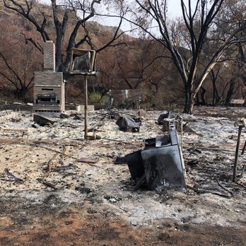
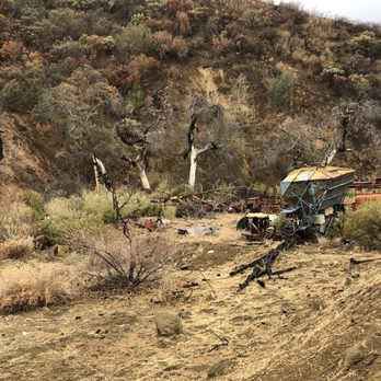
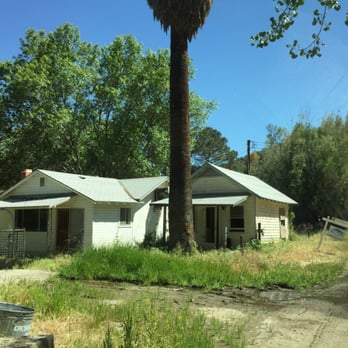
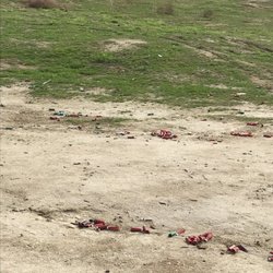
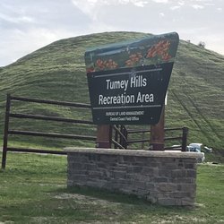
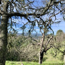
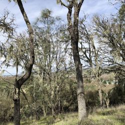
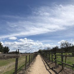
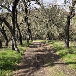
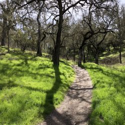
A very hard to find place located in a recreation area that was in complete disarray. Wow, I like when things are "off the beaten path" but this was more like "hey, need an idea for a location for a horror movie" or "is this where they would film a California version of True Detective?". Yikes, if someone who works for the bureau of land management reads this, please clean up this area since it has some potential. This trailhead I was looking for, located in Coalinga Springs Park, leads up to Kreyenhagen Peak--a different kind of landscape I really wanted to see and hike through--supposedly there is a buried treasure up there and everything! The idea was to find a hike in a different area in some familiar mountains I see all the time driving up and down the 5. However, going into it, I knew it was going to be hard. All the directions online were just general and not specific. Coupled with the tons of signs along a hidden road which said "private property" and "no hunting", overgrown brush, and scenes of blighted old houses and junk strewn about it was really hard to find. So, I'm going to describe how to get there for you. First, you want to add the location I added to your google maps and navigate there. What you are looking for is a road called Coalinga Mineral Springs Road and it is about 20 miles west of the city of Coalinga. You're going to drive down this road for about 5 miles; riding past blighted houses, some active ranches (what are these people doing back here?), old junk (trucks, machinery, bathtubs), and some beehives. You'll come to an area guarded by two blighted houses--drive a little past that and you'll see the remains of what appears to be a former picnic area. There's a bathroom (see pic) and lots of overgrowth. In the Northeast corner you'll see a sign for the trailhead (again see pics). I took some hopefully useful pics for you. The trail itself is overgrown with mega-amounts of bugs you'll need to look out for (ticks especially). However, the area is really beautiful and worth it if you have the appropriate gear such as pants and DEET, or a flamethrower (JK). The peak is about 1.5 miles of hiking to an eventual elevation of around 3400 ft. The main problem I have with the area is not nature's fault (e.g. the heat, flora, and fauna). No, it's the creeptastic houses and overgrowth--I mean, look at the pic of the men's room I posted. In addition, I didn't even mention the guy who was camping out near one of the blighted houses. What, exactly, is he doing there? I know people hunt around there but really the campground/picnic area was in shambles so I don't know (we did find some spent shotgun shells). The odd thing is that someone is putting printed out maps in the container near the trailhead so someone must know about this place and want people to hike it--who knows, maybe they want only the most stalwart hikers to work at finding it! read more




11 years ago
The trailhead is not actually hard to find, just not well documented/reported. I was about to park at the entrance and take a faint trail across the stream; but good to be patient enough to drive a little bit further, over a flooded dirt road. Once I saw the bulletin board, everything went smoothly thereafter. The map box was empty. I was amazed that David D mentioned that someone put maps there sometimes. Based on his post time, I assume he visited there in April/May, not too bad, but not as good as in December. BTW, I have never seen a picnic area as abandoned as this one. There must be a story behind the scene. Overall, it is not a scenic hike; but as a "National" freak and peakbagger, I bagged a peak on a National Recreational Trail. read more


10 years ago
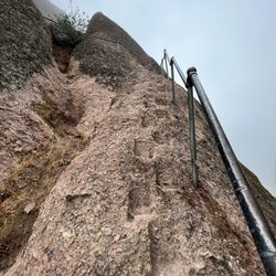
Pretty hike but scary if your afraid of heights. Very narrow walkway in some spots on very steep cliffs read more


More info about Coalinga Mineral Springs
40337 S Coalinga Mineral Springs Rd
Coalinga, CA 93210
Directions
Hours
Outdoor Amenities
















Coalinga Mineral Springs - hiking - Updated September 2026
Best of Coalinga
People found Coalinga Mineral Springs by searching for…
Trending Searches in Coalinga, CA
Apple Orchards near Coalinga Mineral Springs
Apple Picking near Coalinga Mineral Springs
Dog Parks near Coalinga Mineral Springs
Eyelash Extensions near Coalinga Mineral Springs
Haunted Houses near Coalinga Mineral Springs
Hiking near Coalinga Mineral Springs
Hiking Trails near Coalinga Mineral Springs
Off Road Trails near Coalinga Mineral Springs
Places To Take Pictures near Coalinga Mineral Springs
Playgrounds near Coalinga Mineral Springs
Browse Articles
Browse Brands
Related Searches in Coalinga, CA
Best Dog Hiking Trails Around Coalinga, California
Best Fishing Locations and Guides in Coalinga, California
Best Fun Things to Do in Coalinga, California
Best Off Leash Dog Parks in Coalinga, California
Best Parks for Parties and Events in Coalinga, California
Best Places for Horseback Riding in Coalinga, California
Best Water Parks for Kids in Coalinga, California
Check Out Great Playgrounds in Coalinga, California
Check Out Off Road Trails in Coalinga, California
Discover Baseball Fields Around Coalinga, California
Discover Dog Friendly Trails to Explore in Coalinga, California
Discover Popular Photo Spots in Coalinga, California
Discover Soccer Fields in Coalinga, California Near You
Discover Top Nature Parks to Visit in Coalinga, California
Discover a Hiking Trail in Coalinga, California
Discover the Best Beaches in Coalinga, California
Discover the Best Night Hike Trails in Coalinga, California
Dog-Friendly Hikes With Dogs in Coalinga, California
Enjoy Camping Adventures Around Coalinga, California
Enjoy Hiking Adventures in Coalinga, California
Enjoy Off Leash Dog Hikes in Coalinga, California
Enjoy the Best Picnic Spots and Ideas in Coalinga, California
Enjoy the Best Walking Trails in Coalinga, California
Explore Beautiful Parks and Green Spaces in Coalinga, California
Explore Easy Hikes Perfect for All in Coalinga, California
Explore Free Picnic Areas Around Coalinga, California
Explore Fun Activities to Do in Coalinga, California
Explore Landmarks & Historical Buildings in Coalinga, California
Explore Parks With Pull Up Bars in Coalinga, California
Explore Picnic Parks Near Coalinga, California
Explore Popular Campgrounds Near Coalinga, California
Explore Popular Picnic Areas Around Coalinga, California
Explore Popular RV Parks Around Coalinga, California
Explore Popular Scenic Views Near Coalinga, California
Explore Scenic Lakes to Visit in Coalinga, California
Explore Top Dog Parks in Coalinga, California Near You
Explore Top Gyms in Coalinga, California Now
Explore Top Water Parks in Coalinga, California Today
Explore Venues & Event Spaces in Coalinga, California
Family Friendly Hiking With Kids in Coalinga, California
Find Beautiful Views in Coalinga, California
Find Exciting Tours to Take in Coalinga, California
Find Great Places to Feed Ducks in Coalinga, California
Find Top Skate Parks in Coalinga, California for All Skill Levels
Find Top-Rated Waterfalls in Coalinga, California Now
Find a Park With BBQ Pits in Coalinga, California
Find the Best Parks BBQ Grills in Coalinga, California





