El Modena Open Space Photos


You might also consider


More like El Modena Open Space
Recommended Reviews - El Modena Open Space
Start your review...


Reviews With Photos


Ahh yes, this is a beautiful secluded spot to take a friend or more than friends to ;) once you reach the top of the little hike you are rewarded with a marvelous breathtaking view of Orange! The terrain is very rocky so it is recommended that you would bring a blanket or some cushion for your bums. as you map yourself to the place it will have you park in a neighborhood. From there you will want to follow the road up the hill and commence your hike. There is a little fence saying do not enter don't be scared, that's not the path. The path is farther up the hill. Take it and it'll take you up a rocky hike!


A surprisingly difficult hike, especially after rain. Very slippery post-rain so make sure you are careful and bring some hiking sticks (lots of slipping and sliding). I believe we went on a counter clockwise loop? Which was great because I think going the opposite direction would have wrecked me lol. Incline and decline all very challenging for me haha! But very cool view and pretty private (very few people out and about), highly recommend.


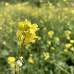
Initially it's a really challenging hike to find - Apple Maps took us to an elementary school and Google maps took us to a random neighborhood - we finally found to trail and it was a great hike - it's a moderate intensity hike as there are plenty of steeper and rockier areas on our way up but to get to the top was very quick, maybe took 20-30 minutes. The view is beautiful up there are there were alot of pretty yellow flowers during wildflower season.


Take a left on Cannon St. and go 1.3 miles. ... Like its parent park Santiago Oaks, Orange's El Modena Open Space is one of Orange County's most accessible natural areas. ... The views are impressive including the Santa Ana Mountains to the east and suburban Orange to the west. -"A short distance but a great climb. Good view. 700ft. elevation, or so my phone says. -Wear good Tenny shoes there's so much rocks, No Flat surface. -Enjoy! Getting ready for summer


Amazing views!!! I used the 300 N Cannon Address and parked across the street on Stillwater. If you hike up from this entrance, it's a really short hike to the top where you can get a nice view & pics (I would say barely 20 min if you go straight up). The hill is a little steep and I had to take my time on the way down. I turned around once I got to the top since I was short on time but you can continue across a longer trail once you get there, but even if you just do the short trail to get to the top, I would say it's worth it!
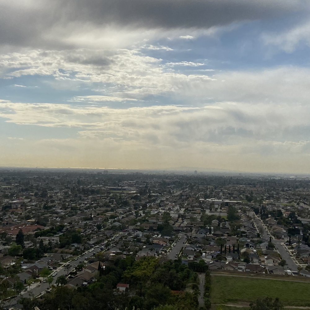
Another little hidden gem I never knew was here. There is no official trial parking lot so after some research, use 300 N Cannon St. for an address and then park right across the street on Stillwater. I believe there is another spot off Canon & Patricia Rd. Tip-have good grip on the bottom of your shoes. The trail does go up & down dirt path so it can be slippery on the gravel. Trail is pretty easy to follow. We were stumped a little but we just asked other hikers if we saw them. Very pretty view from up top! Wow, take a moment to look around. I tend to just keep going. The flowers/weeds are in bloom right now but makes a pretty picture. :) We really enjoyed this short 2mile hike. We also did see a coyote on our way back at the entrance which threw us off since we weren't sure what to do. Only 1 way out. Luckily, we waited and another hiker walked by ;) They didn't notice anything so we figured it was safe to go, lol. Have fun. SYOY!


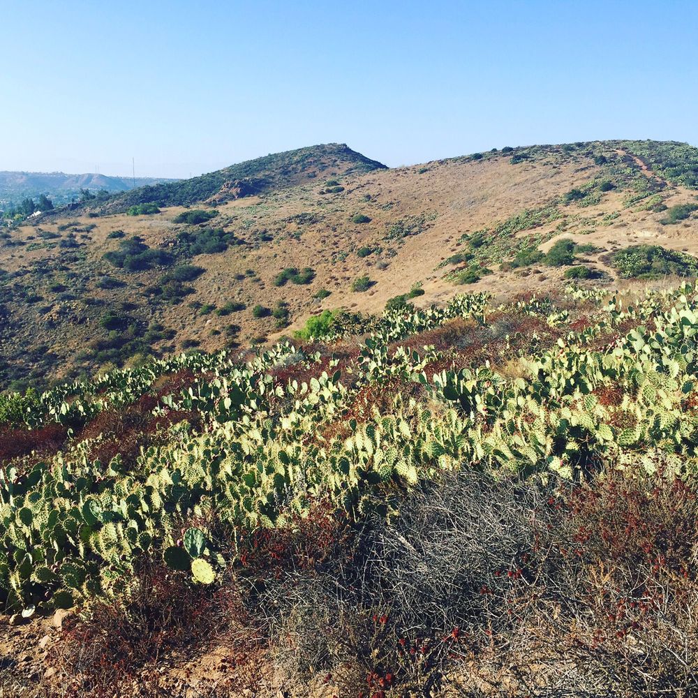
This hike is super fun. It's a thin road up and some parts are super steep with lots of rocks but it's not too bad and not super long either. Not a lot of people when I went both times which was nice. Lots of cactus too along the side.

This place is fantastic! If you have ~2hrs to spare and you're in Aneheim area then go do this you won't regret it. It's short, slope is decent it will make you work and sweat. Have to park in a neighborhood, ample and safe. Punch in the address and park on one of the side streets. Then walk up on the main road and take the first trail just passed the first stop sign. Then just follow the path and enjoy!


I took someone's advice and parked on the residential street of Stillwater St off of Cannon St, and on a Saturday morning there was plenty of parking. As always, Zulu (the dog) came adventuring with me. In case you get confused easily like me, the trail starts right at that intersection, you'll see a little dirt hill that resembles a path going up. This hike has NO trail markers or anything, so it can be very confusing. At times I wasn't sure if I was trespassing on other property or if I was still inside what was considered to be El Modena open space. There are no benches to rest on, it pretty much is "open space" as in the name with no signs, markers, or rest stops. And I think I like it like that. It's a nice change compared to the well manicured parks in OC. As long as you stick to what you think is "probably a trail" you'll be ok. There are some nice hills and switchbacks, good inclines and declines but nothing too extreme. I can imagine just running up the hill on Cannon St would be a nice workout too. Zulu and I will definitely be back, there was another hill or two for us to explore, and its a great place for a workout (finally, trails that aren't all flat!) Also be on the lookout for glass, as there's a lot of broken bottles around. We also found graffiti on rocks, empty boxes of beer, and other random bits of things. The place is a bit creepy to go alone, even on a Saturday morning we only ran into maybe 2-3 other people. Just be careful, and bring something for self defense just in case.
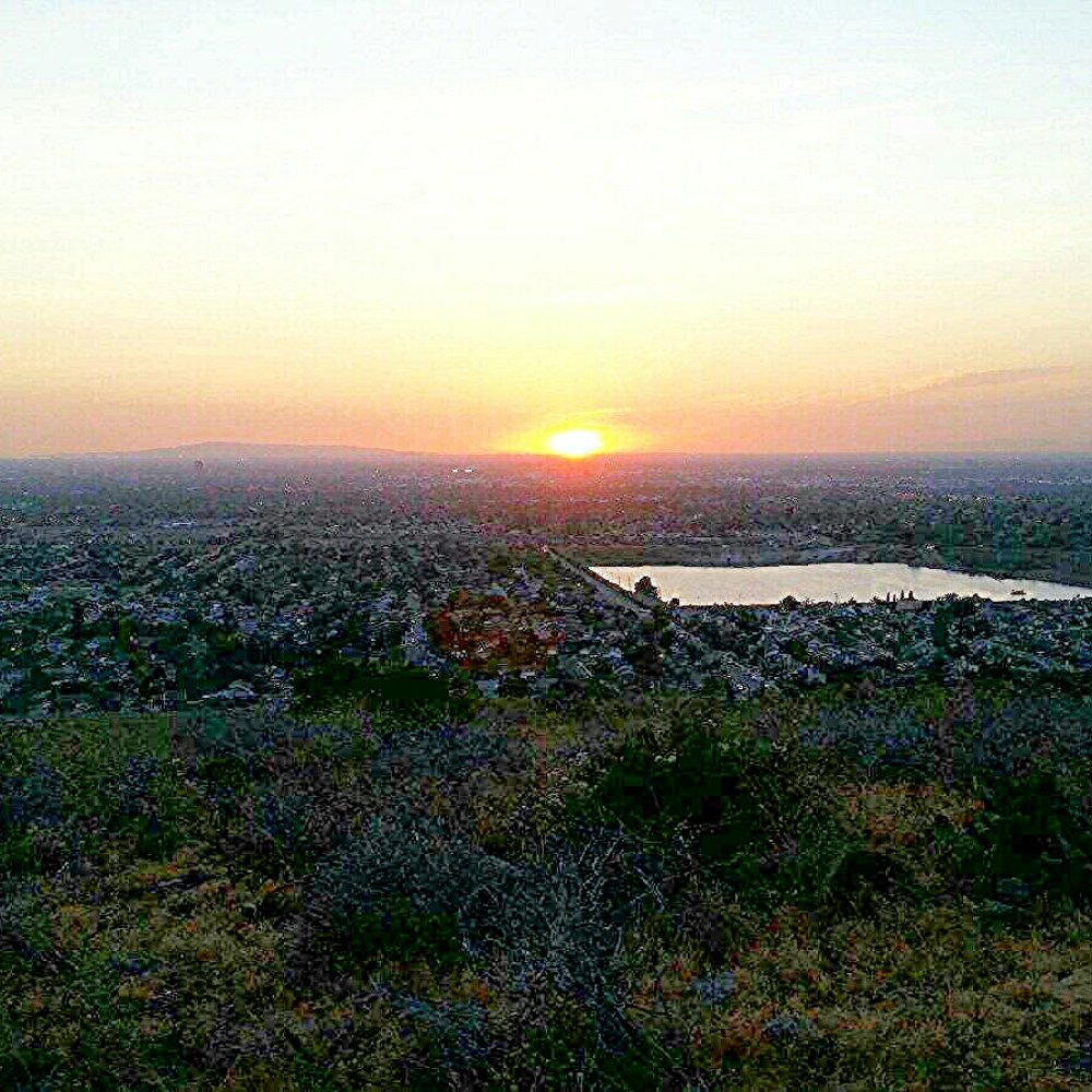

I live off of Stillwater Ave which is at the South end of the trail and the community has taken notice of the excess parking from hikers which is cool except when they leave their litter behind. Cops now regularly patrol this street since juveniles have the reputation of drinking or getting high before or during the hike. Honestly it's not much of a hike or trail but does come with an awesome view. I normally hike it on clear days so that I can see Rancho Palos Verde, Catalina Island and beyond. Also ideal for romantic sunsets, to view Disneyland fireworks (take a flashlight, watch your step and lookout for coyotes) or if I'm too lazy/short on time to do one of the the longer nearby trails.
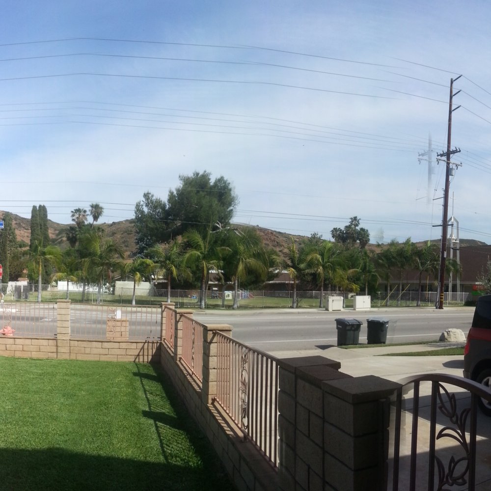

Now this is just a nice place to hike. Wether your looking for a steep incline or just a mellow windy path up it has both from the Santiago side, which is where my cousin Travis W. Enter from. We've gone up both ways but I think we both preferred the windy as opposed to the steep uphill. You can also enter from Cannon previous reviews suggest where to park. The trail itself is fairly wide as 2 people can walk side by side. For being just an open trail its kept up fairly nice. There is glass tho so be aware if you happen to fall as there is some pretty slick sections. There are three peaks that you can hike up and all are a pretty damn good workout. The best time I'd say is after a strong wind to clean up the air. On a clear day you can see from Catalina island to downtown LA. As said prior there really is no shade so water and sunglasses are a must. I've seen a decent amount of wildlife up here as well. Tons of different birds, rabbits, and living just down the hill I hear coyotes quite often. So also keep that in mind if you have a small dog.


7 months ago
Had a good time hiking at this spot. Nice trail located right off of Cannon street. Great place to exercise outside in an urban setting. Several paths to walk through so the hike can vary in length. It's relatively steep to get to the top, but not more than a few hundred meters. Once on top it's pretty flat and easy. Lots of cactus . Best part is you can take dogs. read more


4 months ago
A 3.25 to a high of 3.75 star rating. Around 4 major entry points- no true parking lot - seek parking in local neighborhoods and or local school parking spaces. Pathways are thorny and filled brush and loose rocks and steep pathways lined with jagged large boulders. Made for walkers hikers and joggers. Not for quick running and pets must be on a leash. Lack of a visitor center, lack of trails benches, lack of bathrooms . The trails are moderate to hard - care must be taken- rocks are loose and can cause injuries . No trash cans - bring your junk and take your junk. Overall trail can from a rountrip can be around 3.5 miles to around 4.5 miles. Great scenic shots and lots of cactus read more


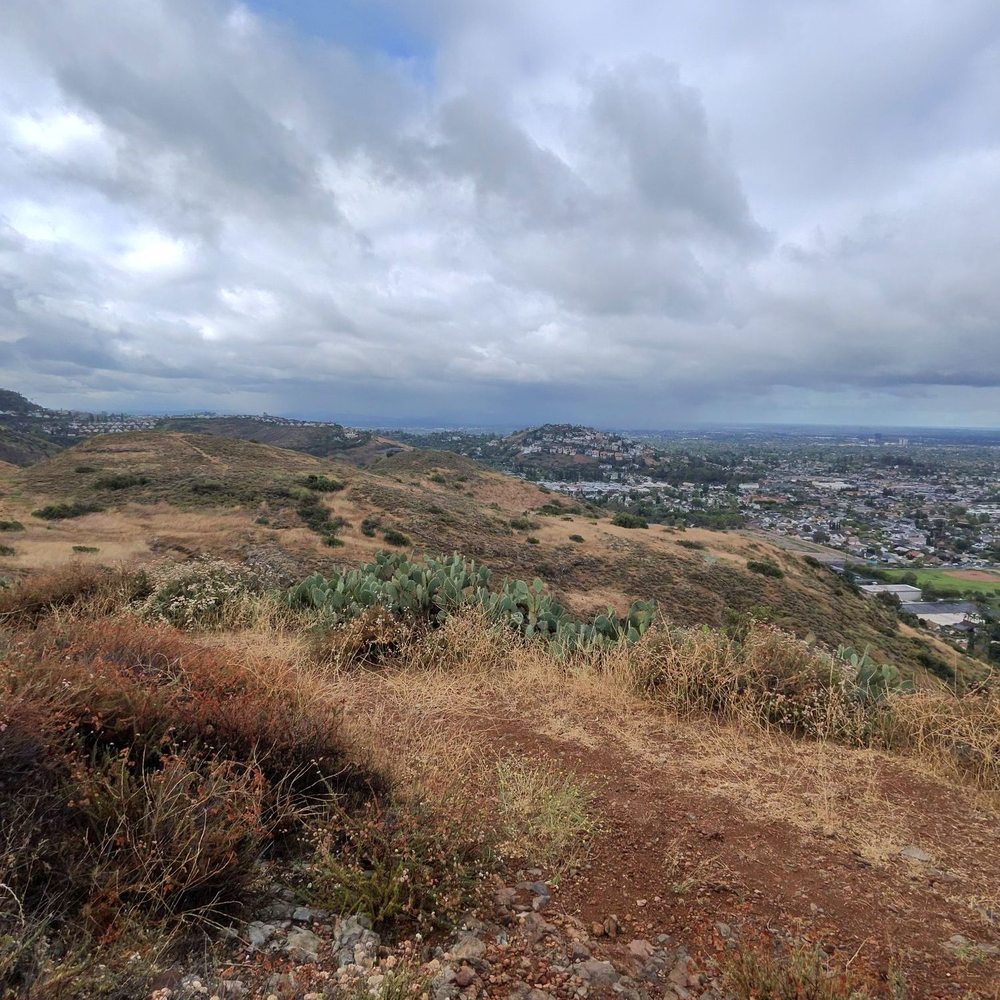

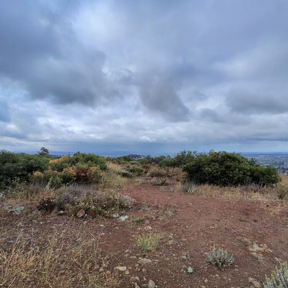


I love hiking here by myself. It's a really nice and easy trail with some steep parts that get your heart pumping. I hike here on weekdays so it's usually pretty empty, maybe a dog walker or two. For parking, I park across the street in the neighborhood. I love admiring the different plants and listening to the sounds of birds. read more


10 months ago

4 years ago
Ahh yes, this is a beautiful secluded spot to take a friend or more than friends to ;) once you reach the top of the little hike you are rewarded with a marvelous breathtaking view of Orange! The terrain is very rocky so it is recommended that you would bring a blanket or some cushion for your bums. as you map yourself to the place it will have you park in a neighborhood. From there you will want to follow the road up the hill and commence your hike. There is a little fence saying do not enter don't be scared, that's not the path. The path is farther up the hill. Take it and it'll take you up a rocky hike! read more


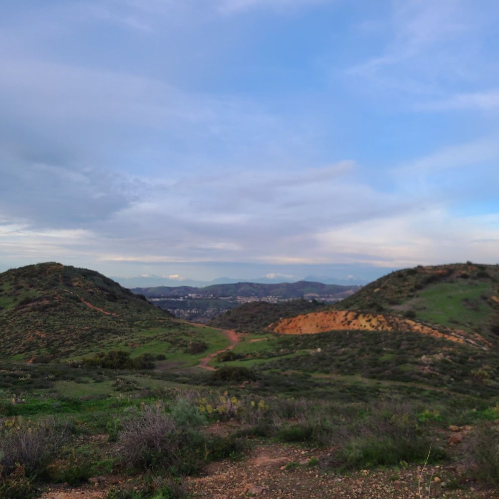
A surprisingly difficult hike, especially after rain. Very slippery post-rain so make sure you are careful and bring some hiking sticks (lots of slipping and sliding). I believe we went on a counter clockwise loop? Which was great because I think going the opposite direction would have wrecked me lol. Incline and decline all very challenging for me haha! But very cool view and pretty private (very few people out and about), highly recommend. read more

3 years ago
Initially it's a really challenging hike to find - Apple Maps took us to an elementary school and Google maps took us to a random neighborhood - we finally found to trail and it was a great hike - it's a moderate intensity hike as there are plenty of steeper and rockier areas on our way up but to get to the top was very quick, maybe took 20-30 minutes. The view is beautiful up there are there were alot of pretty yellow flowers during wildflower season. read more

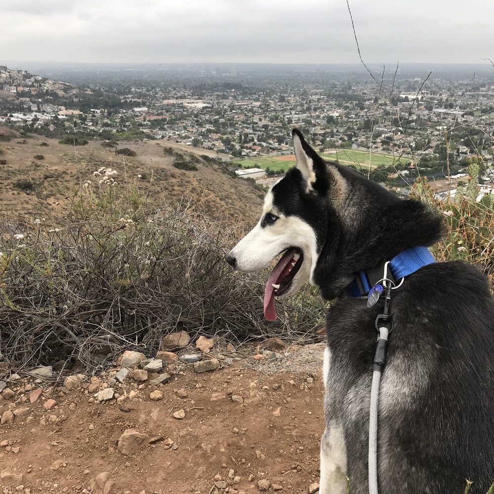
Take a left on Cannon St. and go 1.3 miles. ... Like its parent park Santiago Oaks, Orange's El Modena Open Space is one of Orange County's most accessible natural areas. ... The views are impressive including the Santa Ana Mountains to the east and suburban Orange to the west. -"A short distance but a great climb. Good view. 700ft. elevation, or so my phone says. -Wear good Tenny shoes there's so much rocks, No Flat surface. -Enjoy! Getting ready for summer read more



5 years ago
Amazing views!!! I used the 300 N Cannon Address and parked across the street on Stillwater. If you hike up from this entrance, it's a really short hike to the top where you can get a nice view & pics (I would say barely 20 min if you go straight up). The hill is a little steep and I had to take my time on the way down. I turned around once I got to the top since I was short on time but you can continue across a longer trail once you get there, but even if you just do the short trail to get to the top, I would say it's worth it! read more


5 years ago
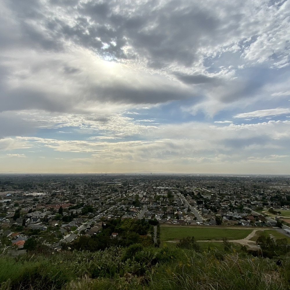
Another little hidden gem I never knew was here. There is no official trial parking lot so after some research, use 300 N Cannon St. for an address and then park right across the street on Stillwater. I believe there is another spot off Canon & Patricia Rd. Tip-have good grip on the bottom of your shoes. The trail does go up & down dirt path so it can be slippery on the gravel. Trail is pretty easy to follow. We were stumped a little but we just asked other hikers if we saw them. Very pretty view from up top! Wow, take a moment to look around. I tend to just keep going. The flowers/weeds are in bloom right now but makes a pretty picture. :) We really enjoyed this short 2mile hike. We also did see a coyote on our way back at the entrance which threw us off since we weren't sure what to do. Only 1 way out. Luckily, we waited and another hiker walked by ;) They didn't notice anything so we figured it was safe to go, lol. Have fun. SYOY! read more


5 years ago


2 years ago

6 years ago
This hike is super fun. It's a thin road up and some parts are super steep with lots of rocks but it's not too bad and not super long either. Not a lot of people when I went both times which was nice. Lots of cactus too along the side. read more


5 years ago
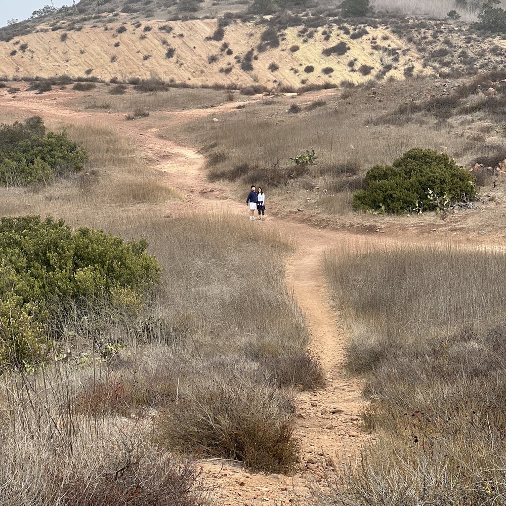
This place is fantastic! If you have ~2hrs to spare and you're in Aneheim area then go do this you won't regret it. It's short, slope is decent it will make you work and sweat. Have to park in a neighborhood, ample and safe. Punch in the address and park on one of the side streets. Then walk up on the main road and take the first trail just passed the first stop sign. Then just follow the path and enjoy! read more
3 years ago

11 years ago
I took someone's advice and parked on the residential street of Stillwater St off of Cannon St, and on a Saturday morning there was plenty of parking. As always, Zulu (the dog) came adventuring with me. In case you get confused easily like me, the trail starts right at that intersection, you'll see a little dirt hill that resembles a path going up. This hike has NO trail markers or anything, so it can be very confusing. At times I wasn't sure if I was trespassing on other property or if I was still inside what was considered to be El Modena open space. There are no benches to rest on, it pretty much is "open space" as in the name with no signs, markers, or rest stops. And I think I like it like that. It's a nice change compared to the well manicured parks in OC. As long as you stick to what you think is "probably a trail" you'll be ok. There are some nice hills and switchbacks, good inclines and declines but nothing too extreme. I can imagine just running up the hill on Cannon St would be a nice workout too. Zulu and I will definitely be back, there was another hill or two for us to explore, and its a great place for a workout (finally, trails that aren't all flat!) Also be on the lookout for glass, as there's a lot of broken bottles around. We also found graffiti on rocks, empty boxes of beer, and other random bits of things. The place is a bit creepy to go alone, even on a Saturday morning we only ran into maybe 2-3 other people. Just be careful, and bring something for self defense just in case. read more


11 years ago
I live off of Stillwater Ave which is at the South end of the trail and the community has taken notice of the excess parking from hikers which is cool except when they leave their litter behind. Cops now regularly patrol this street since juveniles have the reputation of drinking or getting high before or during the hike. Honestly it's not much of a hike or trail but does come with an awesome view. I normally hike it on clear days so that I can see Rancho Palos Verde, Catalina Island and beyond. Also ideal for romantic sunsets, to view Disneyland fireworks (take a flashlight, watch your step and lookout for coyotes) or if I'm too lazy/short on time to do one of the the longer nearby trails. read more

11 years ago
Now this is just a nice place to hike. Wether your looking for a steep incline or just a mellow windy path up it has both from the Santiago side, which is where my cousin Travis W. Enter from. We've gone up both ways but I think we both preferred the windy as opposed to the steep uphill. You can also enter from Cannon previous reviews suggest where to park. The trail itself is fairly wide as 2 people can walk side by side. For being just an open trail its kept up fairly nice. There is glass tho so be aware if you happen to fall as there is some pretty slick sections. There are three peaks that you can hike up and all are a pretty damn good workout. The best time I'd say is after a strong wind to clean up the air. On a clear day you can see from Catalina island to downtown LA. As said prior there really is no shade so water and sunglasses are a must. I've seen a decent amount of wildlife up here as well. Tons of different birds, rabbits, and living just down the hill I hear coyotes quite often. So also keep that in mind if you have a small dog. read more

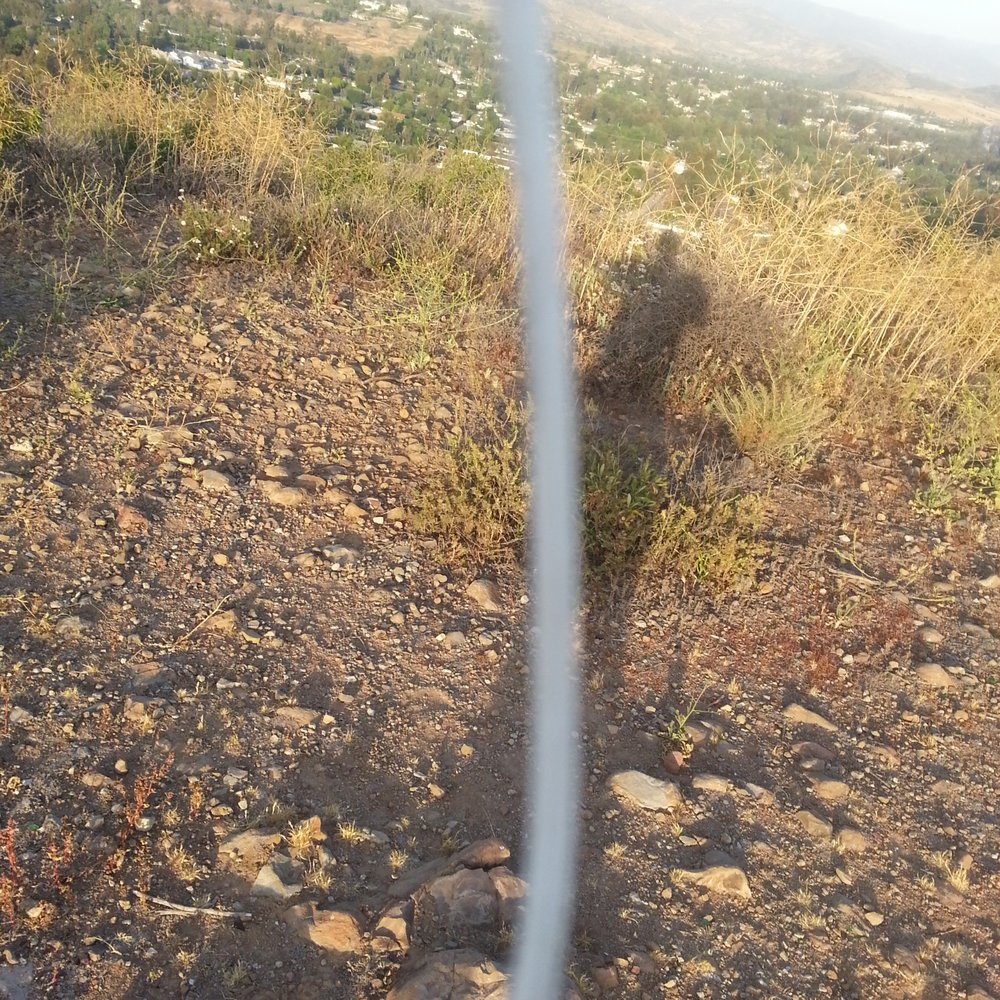

Just hiked quite a bit of this place, and I really enjoyed it. You can take a quick easy hike or turn it into a hour or two adventure. My cousin and hiked from the Santiago side to the highest hill. What a great view of Orange County. We actually came one day after Santa Ana winds came through and you could see all the way to LA!!! Trails are kept pretty good for the amount of traffic that is coming through here. Its a pretty mellow time and not too bad of a hike. There is a lot of tall brush in some area that may over grow on the trail, and watch out for the freaking cactus. Also if you see some trash and have a back pack pick it up. This place can have some broken glass in some areas. Overall a great spot that if you live in OC should check out. Such a killer view especially on a clear day. Grab your bottles of water and get out and enjoy open trail that is El Modena Open Space......although a new name would suit. LOL! CHEERS!! read more


6 years ago

9 years ago
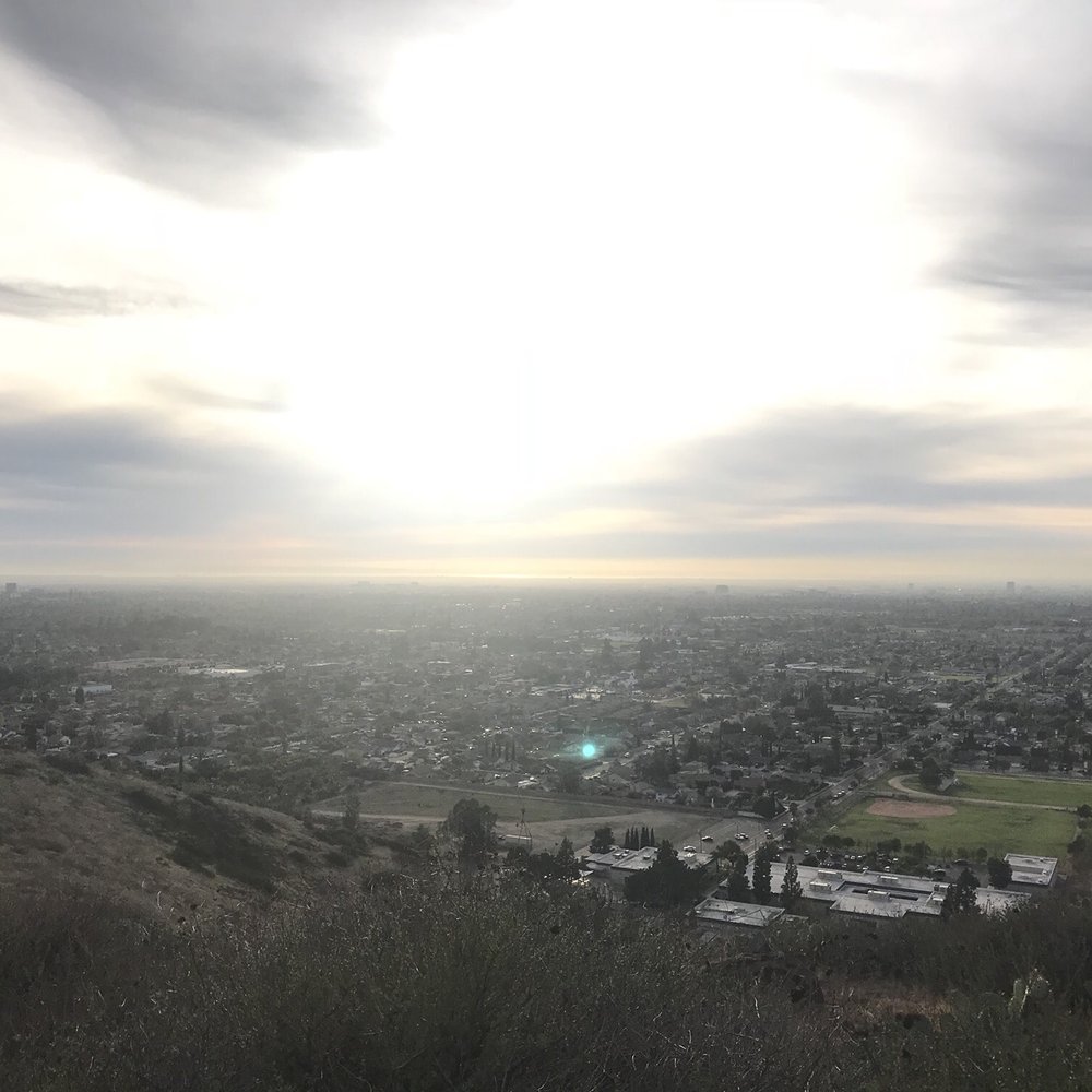
A short distance but a great climb. Good view. 700ft. elevation, or so my phone says. Great hike. Bring flashlight and walking stick if going at night. Lots of broken glass at some lower areas. But firework view is worth it. read more


6 years ago
Short little hike w/ an amazing 360 view. I would consider it pretty easy (besides the uphill elevation part) but definitely worth it! Street parking is ample & it can be hard to spot the trail entrance at first so just pay attention. read more


9 years ago


Pretty nice little hike nestled in the hills of orange. You can get some pretty nice views of central and north Orange County. I would guess that if you go on a very clear day, you can see the ocean. Overall the hike is mildly challenging at times where you are going up hill but since the length is so short, it is not too difficult. The majority of the hike is nice and peaceful but as you get to the south end, there is broken glass and remnants of a high schoolers Saturday night. Really a shame that people don't pick up after themselves and preserve this slice of nature. read more


I was surprised that this was pretty legitimate. In terms of difficulty, there are pretty steep climbs and then flat. I had trouble coming down the hill. This is an easy to find and easy to park space with lots of cactus. There are rest spots. You can see the entirety of Orange, probably the same view you'd have of Orange Hill Restaurant. read more




10 years ago
You must visit it's beautiful Hillside full of cactuses rocks and various scrub brushes all dotted along the beautiful landscape of the city of Orange. The hike is mainly uphill and covers multiple ridges and is quite rocky. I would not recommend this trail for the unseasoned hiker. The trail offers beautiful views of the entire city of Orange and far beyond. The Landscaping is Lush and the city views are unmatched in this part of Orange County. Make sure to travel here with plenty of water and solid hiking shoes so you do not leave disappointed. Parking is a little scarce so you might have to park a little further down than you expected in one of the residential neighborhoods. read more


13 years ago
Best Place if u want a Great View of O.C. And exercise at the same time. Steep when u climb up to the top So prepare to be sore if u a First timer But Well worth it. Not long trial But will get the job done. read more

7 years ago

11 years ago
Love coming here on weekend mornings with my dogs. It's never crowded. In fact, I usually only run into to 2 or 3 people during the entire hike. Great alternative to Peters Canyon, which can sometimes be too crowded. read more



12 years ago

10 years ago
11 years ago
7 years ago
9 years ago
9 years ago
Page 1 of 2
More info about El Modena Open Space
300 N Canon St
Orange, CA 92869
Directions
Hours
Outdoor Amenities
Ask the Community - El Modena Open Space
Where should you park? Sounds like there is no lot. TIA
You can park on Patria Court (Monday is street sweeping day, though), which is near the horse crossing, or you can park on Stillwater Ave. and walk across the street to the trailhead.
Review Highlights - El Modena Open Space
You might also consider

























Why does Yelp recommend reviews?
2 reviews that are not currently recommended
The reviews below are not factored into the business's overall star rating.

3 years ago
5 years ago
El Modena Open Space - hiking - Updated August 2026
Best of Orange
People found El Modena Open Space by searching for…
Trending Searches in Orange, CA
Barbers near El Modena Open Space
Bike Shop near El Modena Open Space
Cliff Jumping near El Modena Open Space
Consignment Shops near El Modena Open Space
Cruising Spots near El Modena Open Space
Dog Friendly Things To Do near El Modena Open Space
Ear Piercing near El Modena Open Space
Eyebrow Threading near El Modena Open Space
Flower Fields near El Modena Open Space
Hair Braiding near El Modena Open Space
Kids Haircut near El Modena Open Space
Lakes near El Modena Open Space
Mini Golf near El Modena Open Space
Parks near El Modena Open Space
Pedicure near El Modena Open Space
Permanent Makeup near El Modena Open Space
Picnic Areas near El Modena Open Space
Preschools near El Modena Open Space
Public Golf Courses near El Modena Open Space
Rock Quarry near El Modena Open Space
Running Trails near El Modena Open Space
Scenic Night View near El Modena Open Space
Scenic Overlook near El Modena Open Space
Sunrise View near El Modena Open Space
Swimming Holes near El Modena Open Space
Trading Card Shops near El Modena Open Space
Uniforms near El Modena Open Space
Used Furniture Stores near El Modena Open Space
Browse Articles
Browse Nearby
BEST of Orange, California Coffee near El Modena Open Space
BEST of Orange, California Restaurants near El Modena Open Space
BEST of Orange, California Things to Do near El Modena Open Space
BEST of Orange, California Breakfast near El Modena Open Space
BEST of Orange, California Walking Trails near El Modena Open Space
BEST of Orange, California Parks near El Modena Open Space
BEST of Orange, California Campgrounds near El Modena Open Space
BEST of Orange, California Sightseeing near El Modena Open Space
BEST of Orange, California Glamping near El Modena Open Space
Browse Brands
Related Searches in Orange, CA
Affordable Kayak Rental Services in Orange, California
Best Dog Hiking Trails Around Orange, California
Best Fishing Locations and Guides in Orange, California
Best Nature Trails for Hiking in Orange, California
Best Places for Horseback Riding in Orange, California
Check Out Off Road Trails in Orange, California
Discover Dog Friendly Trails to Explore in Orange, California
Discover Easy Hiking Trails Near Orange, California
Discover Kid Friendly Hiking Trails in Orange, California
Discover Popular Bike Trails in Orange, California
Discover Scenic Mountain Bike Trails Near Orange, California
Discover Walking Parks in Orange, California Near You
Discover a Hiking Trail in Orange, California
Discover the Best Night Hike Trails in Orange, California
Dog-Friendly Hikes With Dogs in Orange, California
Enjoy Camping Adventures Around Orange, California
Enjoy Kayaking Adventures in Orange, California
Enjoy Off Leash Dog Hikes in Orange, California
Enjoy Scenic Places to Walk in Orange, California
Enjoy Tent Camping Spots Around Orange, California
Enjoy a Beautiful Waterfall Hike in Orange, California
Enjoy the Best Walking Path in Orange, California
Enjoy the Best Walking Trails in Orange, California
Explore Beautiful Parks and Green Spaces in Orange, California
Explore Easy Hikes Perfect for All in Orange, California
Explore Fun Activities to Do in Orange, California
Explore Popular Campgrounds Near Orange, California
Explore Popular Dog Walking Trails in Orange, California
Explore Top Dog Parks in Orange, California Near You
Explore the Best Beach Spots in Orange, California
Family Friendly Hiking With Kids in Orange, California
Find Parks and Recreation Activities in Orange, California
Find Top Dog Friendly Parks to Visit in Orange, California
Find Top-Rated Waterfalls in Orange, California Now
Find the Best Parks for Picnics in Orange, California
Hiking Trails With Waterfalls in Orange, California
Off Leash Dog Hiking Trails in Orange, California
Popular Outdoor Activities to Try in Orange, California
Popular Picnic Spots to Visit in Orange, California
Popular Waterfall Hiking Trails in Orange, California
Safe River Swimming Areas in Orange, California
Safe and Fun Parks for Kids in Orange, California
Top Hiking Trails to Explore in Orange, California
Top Playgrounds for Kids to Enjoy in Orange, California
Top Running Trails to Explore in Orange, California
Top Swimming Lakes to Enjoy in Orange, California
Top Swimming Spots and Pools in Orange, California
Top-Rated Camping Sites in Orange, California


