Frank B Koller Memorial Park Photos


You might also consider
More like Frank B Koller Memorial Park
Recommended Reviews - Frank B Koller Memorial Park
Start your review...

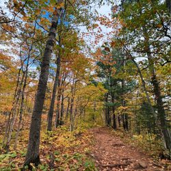
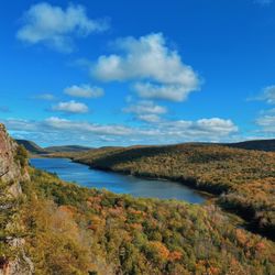
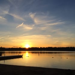
This is a really beautiful park to hang out in Manitowish Waters. Really well kept up in nicely manicured. It looks like there's a entertainment band stage in the area for live outdoor concerts. There's also a nice boat dock for access of boaters coming in to enjoy Koller Memorial park, the boutiques in village market, or Manny's Parkside restaurant. Just a very serene and peaceful place to relax with family or enjoy a picnic or to have quick access to the village market when boating in. read more


More info about Frank B Koller Memorial Park


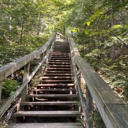


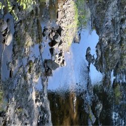

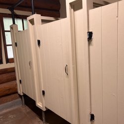


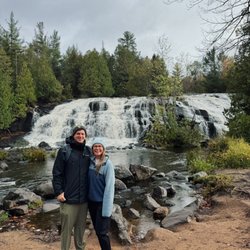


Frank B Koller Memorial Park - parks - Updated July 2026
Best of Manitowish Waters
People found Frank B Koller Memorial Park by searching for…
Things to Do in Manitowish Waters, Wisconsin
Waterfalls in Manitowish Waters, Wisconsin
Picnic Areas in Manitowish Waters, Wisconsin
Walking Trails in Manitowish Waters, Wisconsin
Attractions in Manitowish Waters, Wisconsin
Places to Take Pictures in Manitowish Waters, Wisconsin
Public Showers in Manitowish Waters, Wisconsin
View Points in Manitowish Waters, Wisconsin
Playgrounds in Manitowish Waters, Wisconsin
State Park in Manitowish Waters, Wisconsin
Hiking Trails in Manitowish Waters, Wisconsin
Picnic Tables in Manitowish Waters, Wisconsin
Photo Spots in Manitowish Waters, Wisconsin
Family Fun in Manitowish Waters, Wisconsin
Places to Walk Around in Manitowish Waters, Wisconsin
Tourist Attractions in Manitowish Waters, Wisconsin
Picnic Spots in Manitowish Waters, Wisconsin
Dog Friendly in Manitowish Waters, Wisconsin
Scenic Views in Manitowish Waters, Wisconsin
Nature Trails in Manitowish Waters, Wisconsin
Picnic in Manitowish Waters, Wisconsin
Places to Swim in Manitowish Waters, Wisconsin
Browse Nearby
BEST of Manitowish Waters, Wisconsin Things to Do near Frank B Koller Memorial Park
BEST of Manitowish Waters, Wisconsin Coffee near Frank B Koller Memorial Park
BEST of Manitowish Waters, Wisconsin Restaurants near Frank B Koller Memorial Park
BEST of Manitowish Waters, Wisconsin Campgrounds near Frank B Koller Memorial Park
BEST of Manitowish Waters, Wisconsin Lakes near Frank B Koller Memorial Park
BEST of Manitowish Waters, Wisconsin Hiking near Frank B Koller Memorial Park
BEST of Manitowish Waters, Wisconsin Breakfast near Frank B Koller Memorial Park
BEST of Manitowish Waters, Wisconsin Resorts near Frank B Koller Memorial Park
BEST of Manitowish Waters, Wisconsin Sledding near Frank B Koller Memorial Park
Browse Brands
Browse Articles
People who viewed Frank B Koller Memorial Park also viewed
North Lakeland Discovery Center
4 reviews
Rock Falls Riding Stable, Go Kart, and Mini Golf
5 reviews
A&M Utvrentals
4 reviews
Bayou Adventure
24 reviews
Grassy Creek Ranch
14 reviews
Lakeland Area Dog Park
1 review
The Angler's Choice Guide Service
9 reviews
Bobber Down Guide Service - Turtle Flambeau Flowage
1 review
Camp Jorn YMCA
16 reviews
Manitowish Waters Athletic Club
3 reviews