
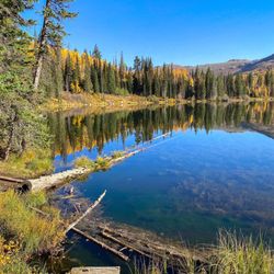
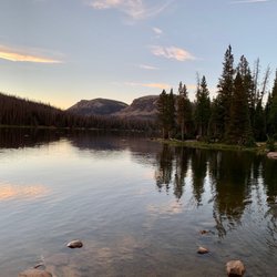
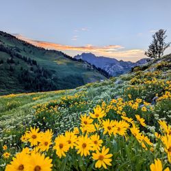
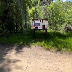
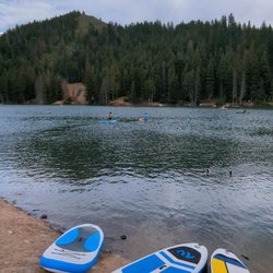
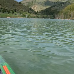
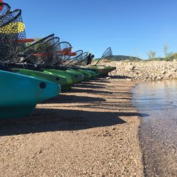
Mirror Lake Campground Photos


More like Mirror Lake Campground
Recommended Reviews - Mirror Lake Campground
Start your review...

1 year ago
3 years ago
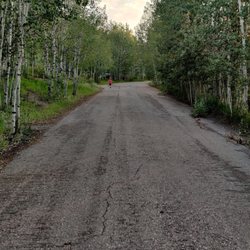
I love the outdoors. This is a beautiful place, I will come back again. The chipmunks in the bush, little ice cold streams running. I was up their in the middle of summer, it snowed a little right when we got their. read more
9 years ago
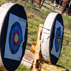
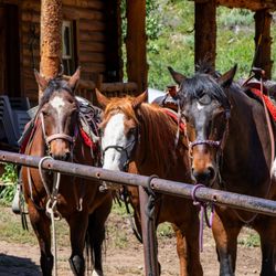
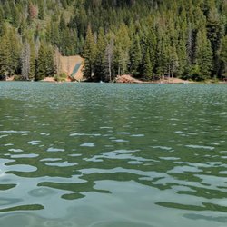
Fantastic campground! I come here about once a year and never get tired of it. There's never a shortage of things to do around here. The lake is a fantastic place to fish and float tube, there's a path that runs clear around the lake, and many nearby hiking trails. There are also many other lakes and streams to explore nearby if you get tired of the same scenery. The grounds are kept very nice and tidy. Bathrooms are as you'd expect from a campground. By far my favorite campground I've stayed at. read more

More info about Mirror Lake Campground


Mirror Lake Campground - campgrounds - Updated July 2026
Best of Mirror Lake
People found Mirror Lake Campground by searching for…
Things to Do in Mirror Lake, UT
Sunrise View in Mirror Lake, UT
Camping Sites in Mirror Lake, UT
River Tubing in Mirror Lake, UT
Hiking Trails in Mirror Lake, UT
Fly Fishing Shop in Mirror Lake, UT
Hotels & Travel in Mirror Lake, UT
Fishing Spots in Mirror Lake, UT
Camping Cabins in Mirror Lake, UT
Running Trails in Mirror Lake, UT
Fishing Guides in Mirror Lake, UT
Sunrise Hike in Mirror Lake, UT
Hiking With Kids in Mirror Lake, UT
River Swimming in Mirror Lake, UT
Attractions in Mirror Lake, UT
Parks BBQ Grills in Mirror Lake, UT
Rv Dump Station in Mirror Lake, UT
Picnic Areas in Mirror Lake, UT
Fishing Ponds in Mirror Lake, UT
Browse Nearby
BEST of Mirror Lake, Utah Things to Do near Mirror Lake Campground
BEST of Mirror Lake, Utah Lakes near Mirror Lake Campground
BEST of Mirror Lake, Utah Rv Parks near Mirror Lake Campground
BEST of Mirror Lake, Utah Hiking near Mirror Lake Campground
BEST of Mirror Lake, Utah Restaurants near Mirror Lake Campground
Browse Brands
Related Cost Guides
Browse Articles
People who viewed Mirror Lake Campground also viewed
Smith and Morehouse Campground
12 reviews
Butterfly Lake Campground
1 review
Ledgefork Campground
2 reviews
Moon Lake Resort
5 reviews
Aspen Campground
1 review
North Forty Escapes
84 reviews
Knotty Pine RV Resort
17 reviews
Echo Island RV Resort
27 reviews
Woodland Farmhouse Inn
7 reviews
Rockport State Park
13 reviews