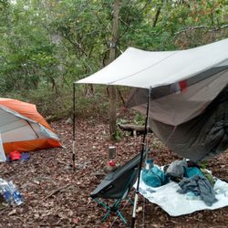
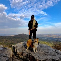
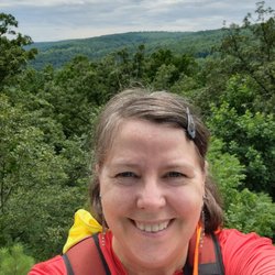
NCR Bike Trail Photos


You might also consider
More like NCR Bike Trail
Recommended Reviews - NCR Bike Trail
Start your review...

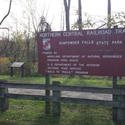
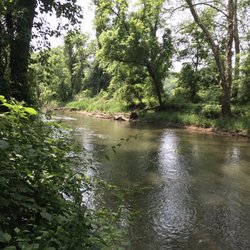
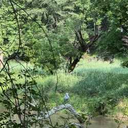
The Northern Central Railroad Bike Trail is a 20 mile course in Maryland stretching from Ashland Road in Hunt Valley to the Mason Dixie Line. We usually go bike riding at the Monkton section. There is a small parking lot, bathrooms, and park office. There are more parking along the shoulder of Monkton Road. One can also rent bikes and inner tubes here for tubing at the Gunpowder River. The trail is 10 feet wide with a stone dust surface. read more


More info about NCR Bike Trail
18827 Frederick Rd
Parkton, MD 21120
Directions
Visit Website
http://ncrtrailsnails.com
Hours
Outdoor Amenities


NCR Bike Trail - hiking - Updated July 2026
Best of Parkton
People found NCR Bike Trail by searching for…
Things to Do in Parkton, Maryland
Mountain Bike Trails in Parkton, Maryland
Hiking Trails With Waterfalls in Parkton, Maryland
Sunrise View in Parkton, Maryland
Lakes & Ponds in Parkton, Maryland
Off Road Trails in Parkton, Maryland
Running Trails in Parkton, Maryland
Walking Trails in Parkton, Maryland
Sunrise Hike in Parkton, Maryland
Night Hike in Parkton, Maryland
Swimming Lakes in Parkton, Maryland
Pump Track in Parkton, Maryland
Swimming Holes in Parkton, Maryland
Scenic Views in Parkton, Maryland
Off Leash Dog Hikes in Parkton, Maryland
Dog Friendly Trails in Parkton, Maryland
Photo Spots in Parkton, Maryland
Bike Rental in Parkton, Maryland
Fishing Ponds in Parkton, Maryland
Browse Nearby
BEST of Parkton, Maryland Restaurants near NCR Bike Trail
BEST of Parkton, Maryland Coffee near NCR Bike Trail
BEST of Parkton, Maryland Things to Do near NCR Bike Trail
BEST of Parkton, Maryland Parks near NCR Bike Trail
BEST of Parkton, Maryland Lakes near NCR Bike Trail
Browse Brands
Browse Articles
People who viewed NCR Bike Trail also viewed
Torrey C Brown Trail
8 reviews
White Hall Station - NCR Trail
4 reviews
Harford County Parks & Recreation
2 reviews
Rocks State Park
26 reviews
Monkton Station - NCR Trail
5 reviews
Friends Park
1 review
York County Rail Trail Authority
2 reviews
Eden Mill Nature Center
3 reviews
Hunt Valley Village
8 reviews
Pedego Electric Bikes Baltimore County
4 reviews