Torrey C Brown Trail Photos



You might also consider

More like Torrey C Brown Trail
Recommended Reviews - Torrey C Brown Trail
Start your review...


Reviews With Photos
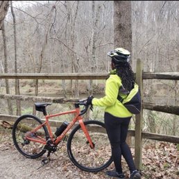

Wanting to get out of the DC metro area we headed to Cockeyesville, MD. No jokes please! It's about 20 miles past Baltimore. The parking lot is small but since it's November it didn't fill up and we started at 9:30 which is late for a bike ride. We did 42 RT and ended in New Freedom PA. This is strictly for gravel, hybrid or mountain bikes. I would not have taken my road bike. The trail was active but not crazy crowded like the C&O from DC. You are riding through nature, but there are residential area with "keep off my property" signs. A coffee shop about 10 miles in. Benches and picnic tables as well as clean and stocked port o potties. We stopped to eat in PA. They have a train ride and a few options to eat. We ate at the Side Street Cafe...... very good - will review them next


Came on a Saturday 9AM in 20 degree weather for a long run and am very happy with the decision to get out of the city! - Easy to find and obvious parking lot (unlike other trails), wasn't too crowded (or maybe because no one was out due to the cold) - Well paved trail that is wide enough to accommodate two-way traffic of runners, dog walkers, people strolling, and horses (based on hoof prints) - Trail runs through the greenery and runs alongside the river/creek/stream - Mile markers and occasional port-a-potty if you needed - Long enough trail for a long run. We did 8 miles out and back. - No major elevation changes. Pretty flat with gradual, smooth slopes if there is some incline. Would come here to run again, hopefully in warmer weather!


What a breathtaking scenic view you get while walking this trail. The trail is maintained really well, I didn't see any trash, and there is spacious walking space between you, bikes, runners, and other walkers. You also get some great views of birds and the water. The trail is so long, it just keeps going on and on. Where I parked was a little small, and I could see the parking lot getting too full if you don't get to the park early enough. Regardless, this was a relaxing trail to walk on and I will 100% take it again soon. read more
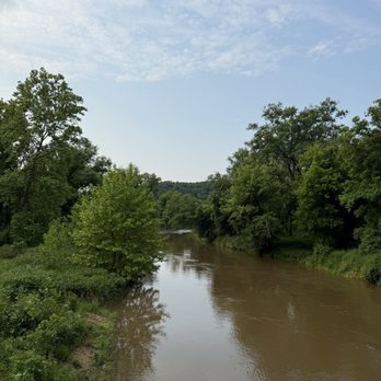


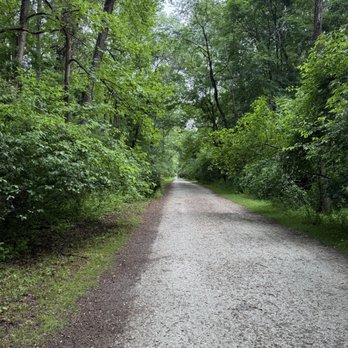


Torrey Brown Trail (Ashland, MD to Mason Dixon Line [PA]). We ride segments of this trail with some regularity. This trip on Labor Day was from Whitehall to Mason Dixon Line (approx.9 miles, 18+ out & back). We were going to park at Monkton Station and have a longer ride, but holiday brought out everyone, and their brother, sister, cousin, college friends, camp counselors, army buddies, ...etc! So we navigated to the Whitehall stop. One feature of this trail is the many trailheads as options. The ride out climbs (4% max) to the PA line, it does, especially at the end feel a bit taxing, in a good way. We were on our Cannondale Topstone gravel bikes (37mm tires). The surface is consistent well packed limestone/ fine gravel. The ride back towards Whitehall is mostly a coasting excercise. The "crowd" offered all level of rider, walker, dog walker, jogger, stroller ladies, etc. so it wasn't as serene as this segment can usually be. For the most part, except on the busiest days at Torrey Brown (across 20+ mile stretch) can be quite private away from the trailheads. Good day, nice weather, great ride. read more


3 years ago
After staying overnight at a hotel in Cockeysville, MD in August 2023,, I was looking for a nearby jogging trail that would be open at 6:30am (just after sunrise) on a Saturday morning. This rail trail was perfect! It's about a 7 minute drive from I-83 with a small parking lot just off Paper Mill Road (the southern end of the trail starts in Cockeysville, MD). It's mostly a flat unpaved pathway that is wide enough to support joggers, bikers, and dog walkers. Be sure to share the path like a friendly neighbor (avoid hogging the width if you're in a group) and allow others to pass. At 6:30am, it was not too crowded, but I did see a few bikers and joggers out and about. If you go 1 mile to the north, you'll cross a bridge with pleasant views of a waterway (Gunpowder Falls, I think). It's an out and back trail, so you can follow the mile markers to choose the mid-point for your run. If you're looking for an outdoor running trail that avoids cars and dangerous intersections, this is a great option for an early morning jog in the summer. read more


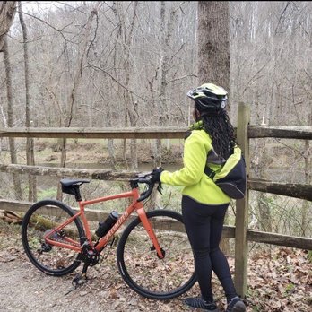
Wanting to get out of the DC metro area we headed to Cockeyesville, MD. No jokes please! It's about 20 miles past Baltimore. The parking lot is small but since it's November it didn't fill up and we started at 9:30 which is late for a bike ride. We did 42 RT and ended in New Freedom PA. This is strictly for gravel, hybrid or mountain bikes. I would not have taken my road bike. The trail was active but not crazy crowded like the C&O from DC. You are riding through nature, but there are residential area with "keep off my property" signs. A coffee shop about 10 miles in. Benches and picnic tables as well as clean and stocked port o potties. We stopped to eat in PA. They have a train ride and a few options to eat. We ate at the Side Street Cafe...... very good - will review them next read more


7 years ago
Came on a Saturday 9AM in 20 degree weather for a long run and am very happy with the decision to get out of the city! - Easy to find and obvious parking lot (unlike other trails), wasn't too crowded (or maybe because no one was out due to the cold) - Well paved trail that is wide enough to accommodate two-way traffic of runners, dog walkers, people strolling, and horses (based on hoof prints) - Trail runs through the greenery and runs alongside the river/creek/stream - Mile markers and occasional port-a-potty if you needed - Long enough trail for a long run. We did 8 miles out and back. - No major elevation changes. Pretty flat with gradual, smooth slopes if there is some incline. Would come here to run again, hopefully in warmer weather! read more


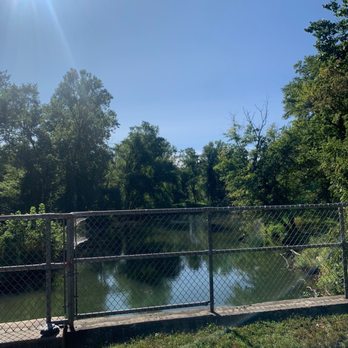
During Covid I visited many MD trails. I decided to check out this one. I like hiking for the scenery. This trail, was just your normal trail, just a waking path. You had some good views along the way. This trail gets crowded with lots of people, and dogs. Many people take this trail to PA on there bikes. It's a great walk to get some steps in. I say check it out. read more




6 years ago

15 years ago
More info about Torrey C Brown Trail
Ask the Community - Torrey C Brown Trail







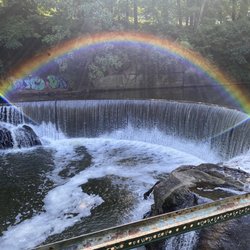


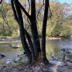

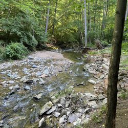
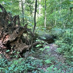
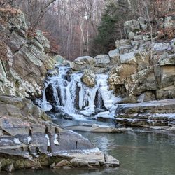




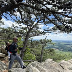


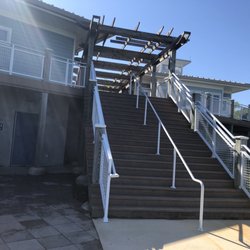

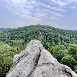
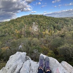

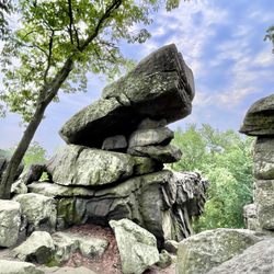
Torrey C Brown Trail - hiking - Updated September 2026
Best of Cockeysville
People found Torrey C Brown Trail by searching for…
Things to Do in Cockeysville, MD
Running Trails in Cockeysville, MD
Walking Trails in Cockeysville, MD
Hiking Trails With Waterfalls in Cockeysville, MD
Sunrise View in Cockeysville, MD
Mountain Bike Trails in Cockeysville, MD
Parks for Kids in Cockeysville, MD
Sunrise Hike in Cockeysville, MD
Dog Friendly Hiking Trails in Cockeysville, MD
Scenic Overlook in Cockeysville, MD
Places to Take Pictures in Cockeysville, MD
Off Road Trails in Cockeysville, MD
Sunset View in Cockeysville, MD
Picnic Areas in Cockeysville, MD
View Points in Cockeysville, MD
Scenic Drive in Cockeysville, MD
Scenic Night View in Cockeysville, MD
Swimming Lakes in Cockeysville, MD
Easy Hikes in Cockeysville, MD
Trending Searches in Cockeysville, MD
Apple Orchards near Torrey C Brown Trail
Apple Picking near Torrey C Brown Trail
Barbers near Torrey C Brown Trail
Bike Shop near Torrey C Brown Trail
Bird Sanctuary near Torrey C Brown Trail
Casinos near Torrey C Brown Trail
Cliff Jumping near Torrey C Brown Trail
Consignment Shops near Torrey C Brown Trail
Cruising Spots near Torrey C Brown Trail
Dog Friendly Things To Do near Torrey C Brown Trail
Ear Piercing near Torrey C Brown Trail
Eyebrow Threading near Torrey C Brown Trail
Flower Fields near Torrey C Brown Trail
Hair Braiding near Torrey C Brown Trail
Kids Haircut near Torrey C Brown Trail
Lakes near Torrey C Brown Trail
Mens Haircut near Torrey C Brown Trail
Parks near Torrey C Brown Trail
Picnic Areas near Torrey C Brown Trail
Preschools near Torrey C Brown Trail
Public Golf Courses near Torrey C Brown Trail
Rock Quarry near Torrey C Brown Trail
Running Trails near Torrey C Brown Trail
Scenic Night View near Torrey C Brown Trail
Scenic Overlook near Torrey C Brown Trail
Sunrise View near Torrey C Brown Trail
Swimming Holes near Torrey C Brown Trail
Trading Card Shops near Torrey C Brown Trail
Browse Articles
Browse Nearby
BEST of Cockeysville, Maryland Restaurants near Torrey C Brown Trail
BEST of Cockeysville, Maryland Things to Do near Torrey C Brown Trail
BEST of Cockeysville, Maryland Coffee near Torrey C Brown Trail
BEST of Cockeysville, Maryland Breakfast near Torrey C Brown Trail
BEST of Cockeysville, Maryland Shopping near Torrey C Brown Trail
BEST of Cockeysville, Maryland Thrift Stores near Torrey C Brown Trail
Browse Brands
Related Searches in Cockeysville, MD
Affordable Kayak Rental Services in Cockeysville, Maryland
Best Dog Hiking Trails Around Cockeysville, Maryland
Best Fishing Locations and Guides in Cockeysville, Maryland
Best Nature Trails for Hiking in Cockeysville, Maryland
Best Places for Horseback Riding in Cockeysville, Maryland
Best Sightseeing Experiences Available in Cockeysville, Maryland
Check Out Off Road Trails in Cockeysville, Maryland
Discover Dog Friendly Trails to Explore in Cockeysville, Maryland
Discover Kid Friendly Hiking Trails in Cockeysville, Maryland
Discover Popular Bike Trails in Cockeysville, Maryland
Discover Scenic Mountain Bike Trails Near Cockeysville, Maryland
Discover Walking Parks in Cockeysville, Maryland Near You
Discover a Hiking Trail in Cockeysville, Maryland
Discover the Best Night Hike Trails in Cockeysville, Maryland
Dog-Friendly Hikes With Dogs in Cockeysville, Maryland
Enjoy Camping Adventures Around Cockeysville, Maryland
Enjoy Kayaking Adventures in Cockeysville, Maryland
Enjoy Off Leash Dog Hikes in Cockeysville, Maryland
Enjoy Scenic Places to Walk in Cockeysville, Maryland
Enjoy Tent Camping Spots Around Cockeysville, Maryland
Enjoy a Beautiful Waterfall Hike in Cockeysville, Maryland
Enjoy the Best Walking Trails in Cockeysville, Maryland
Explore Beautiful Parks and Green Spaces in Cockeysville, Maryland
Explore Easy Hikes Perfect for All in Cockeysville, Maryland
Explore Fun Activities to Do in Cockeysville, Maryland
Explore Popular Campgrounds Near Cockeysville, Maryland
Explore Top Dog Parks in Cockeysville, Maryland Near You
Explore the Best Beach Spots in Cockeysville, Maryland
Explore the Best Swimming Holes Around Cockeysville, Maryland
Family Friendly Hiking With Kids in Cockeysville, Maryland
Find Beautiful Views in Cockeysville, Maryland
Find Popular Ziplining Spots Around Cockeysville, Maryland
Find the Best Parks for Picnics in Cockeysville, Maryland
Find the Best Playgrounds to Visit in Cockeysville, Maryland
Hiking Trails With Waterfalls in Cockeysville, Maryland
Off Leash Dog Hiking Trails in Cockeysville, Maryland
Picnic Areas With BBQ Pits Available in Cockeysville, Maryland
Popular Outdoor Activities to Try in Cockeysville, Maryland
Popular Picnic Spots to Visit in Cockeysville, Maryland
Safe River Swimming Areas in Cockeysville, Maryland
Safe and Fun Parks for Kids in Cockeysville, Maryland
Top Hiking Trails to Explore in Cockeysville, Maryland
Top Paddleboarding Activities in Cockeysville, Maryland
Top Playgrounds for Kids to Enjoy in Cockeysville, Maryland
Top Running Trails to Explore in Cockeysville, Maryland
Top Swimming Lakes to Enjoy in Cockeysville, Maryland
Top Swimming Spots and Pools in Cockeysville, Maryland


