Northshore Trail Photos


You might also consider


More like Northshore Trail
Recommended Reviews - Northshore Trail
Start your review...


Reviews With Photos


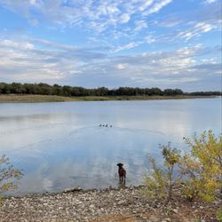
I usually get on the trail from Sunset Point Boulevard, they have a water station with an entrance to the trail. You can walk ten minutes or so to the left and get to Grapevine Beach! It is often littered with trash so watch your pets, but it is very pretty and makes it seem like you're not even in Dallas. If you turn to the right, you can keep hiking for quite a few miles if the bridge between the two sections half a mile north isn't underwater. I found this area to have way more mountain bikers and wouldn't recommend listening to as loud music unless you can be very aware of who's coming up behind you! Honestly I've begun coming here once a week and love it! It's a nice way to escape the heat of Dallas either along the lakeshore or through the woodsy part.


Hey! Local photographer here, I LOVE this location for some dreamy golden hour shots even in the cold months they come out beautiful. There are so many different options to play with for creatives, there's hiking trails, forests, docks, boat ramps, little cliffs. It is perfect.


Found this spot while searching for new places to hike. Not sure which trailhead I parked at as I found this on Google. I entered through a residential area (where you'd never even have know the park existed unless you lived in the area). Not ample parking, but I didn't have a problem at the time of my visit. First impression? If you're on foot, you'll test your reflexes like never before! I went on a Tuesday, around mid-morning, and I cannot tell you how many bikers I encountered (at least a dozen). I was constantly jumping out of the way to allow bikers to pass (much of the trail I was on was very narrow). They were all very pleasant-- thanking me for letting them pass. As a "hiker," I was comforted knowing I was not alone. If something was to happen, plenty of people would hear me scream. I wouldn't recommend this trail for young children (as you're constantly facing bikers at a fast pace). I'd also advise against using earbuds as that would interfere with your ability to hear bikers coming from behind. I can't speak for bikers as I am completely inexperienced, but it seemed to be very appealing to bikers... lots of curves, jumps, e.t.c. My only real complaint is that there is no access to a restroom. I was so excited to finally come across a bathroom only to discover it was padlocked. A portapotty would be a wonderful addition! Overall, the views were beautiful and I plan to return to explore other areas.


Awesome hike today with the wife and kids. The trail head was super easy to find and most of our hike was shaded/walking through the trees. Only downfall was that there were so many mountain bikers , we had to step off the trail and let them pass about every 30 seconds. It seems like a great trail though - so I'll bring my bike back instead of the family

This is is a great spot of hiking around Flower Mound/Grapevine Lake. I grew up in the area, but I never explored the trails until today. It's a great spot to check out if you haven't been. I went on a Saturday morning in April. It was overcast, but there was no rain. All of that to say: there was barely any one around. (I did see some RVers, runners and bikers.) I parked at the Twin Coves Park. Note that you do have to pay $5 if you want to take your vehicle inside the park. So far, I've only had a chance to do a couple of the loops on the west side. The trail itself is great. There are some good views of the lake. The variations in elevation keep the the trail interesting, while not so much to make the trail more than a moderate level of difficulty. My concern about the trail is that it is not very well-marked. It seems like there are a lot of smaller trails that variously merge and diverge from the main trail (not that I could actually identify a "main" trail). I probably got turned around two or three times. (I don't think I'm directionally-challenged, but who knows.) I was able to find my way eventually, but again, I think the trails could be better marked. I scoured the web looking for some maps and info about the trail. Here's what I found: http://www.flower-mound.com/DocumentCenter/Home/View/381 http://www.swf-wc.usace.army.mil/grapevine/Recreation/Trails/Bike.asp http://www.nttr.org/html/northshore.htm http://alltrails.com/trail/us/texas/north-shore-trail Happy hiking!


Nice intermediate trail for biking. Some of the area is still underwater. Lots of areas to explore. Looking forward to the lake going down to normal levels. It's officially closed. Why? I understand some trails dead end into water, but it's still got a few good trails for many hours of riding. My second time here, and have only seen it during its current condition. Plan on making it a regular spot.


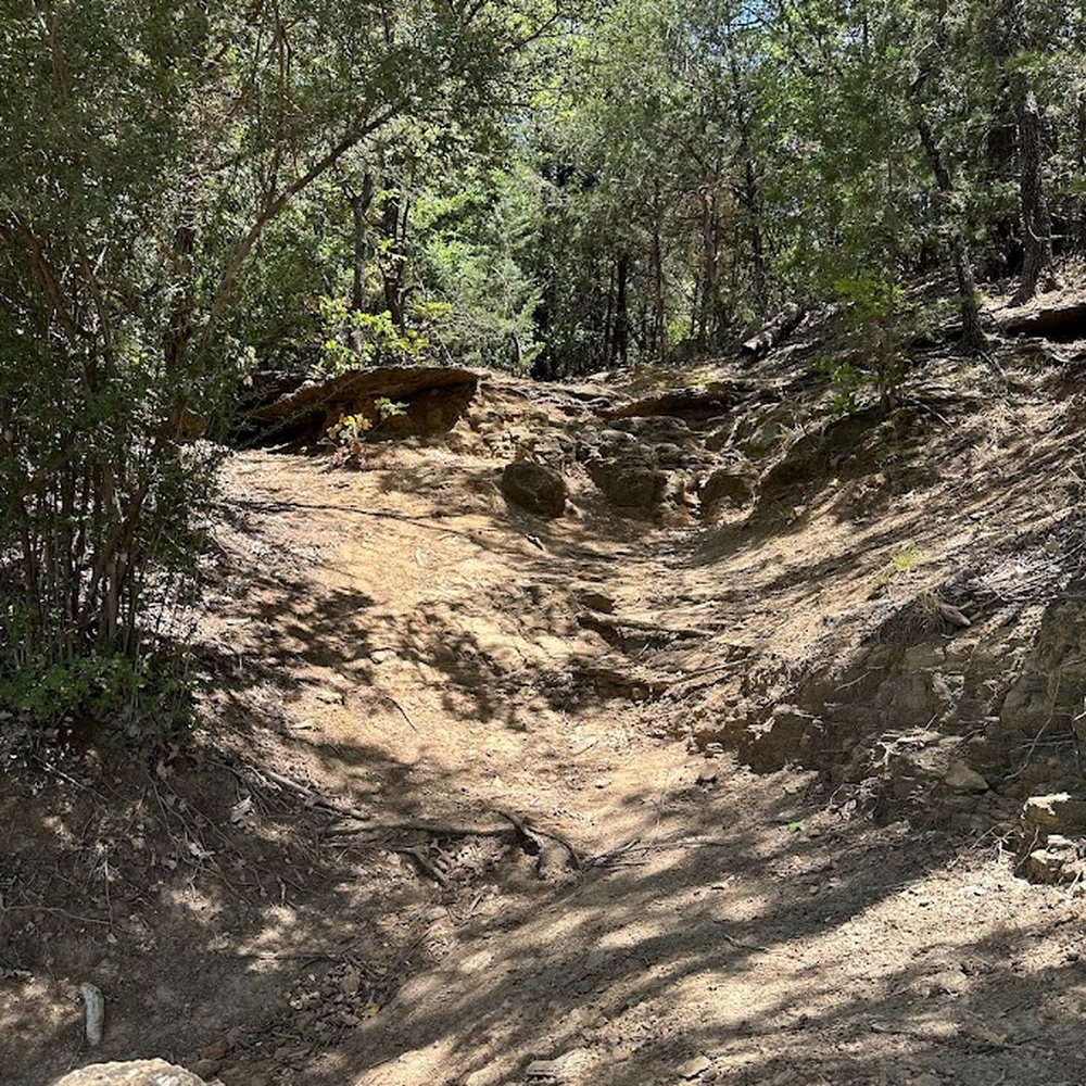
North Shore Trail has become one of my fave places to escape for a few hours. It was my first trek on these trails, and even though I'm used to climbing mountains when I hike, navigating a hilly terrain full of rocks and tree roots was its own kind of challenge. It definitely keeps you on your toes in a different way. I love how the trail winds through the trees, opens up to peaceful lake views, and gives you just enough difficulty to make the scenery feel earned. I usually start near Murrell Park, and that stretch has some of the prettiest spots. Lots of quiet coves, shaded paths and little pockets where you can stop and just listen to the water. You'll see plenty of wildlife, too. I've run into deer more than once. The trail can get rocky and narrow in places especially with mountain bikers flying through, so staying alert is a must. It will definitely keep you engaged instead of just strolling on autopilot. What I appreciate most is how peaceful the hike feels even when others are out enjoying the trail. North Shore Trail always delivers a sense of calm and connection to nature. read more

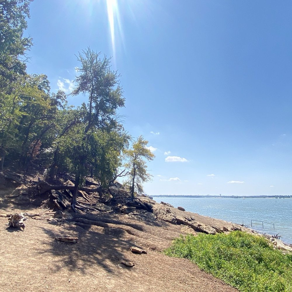


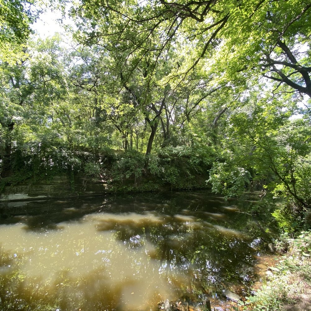
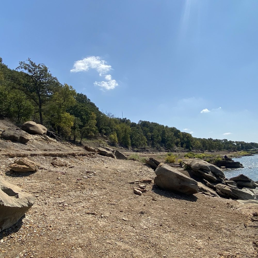


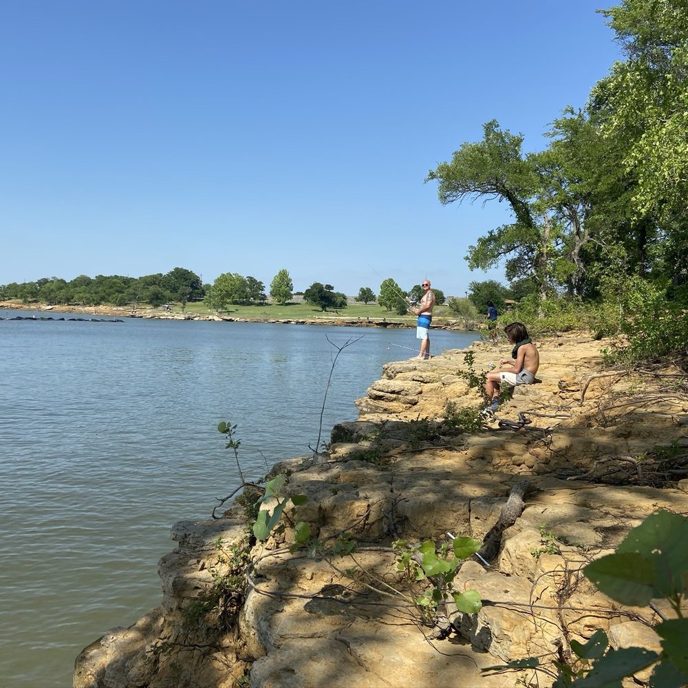

2 years ago
Where else are you going to find 22 miles of hiking trails in DFW? That alone gets a 5 star review from me. Plus the well maintained trails and good amount of parking along the trails, this is a great spot if you're looking to get into nature without having to go too far. As a hiker, there are a lot of bikers along the path, so don't use headphones or you could get hit. Even when it's crowded with bikers, everyone shares the path well. read more


Discovered this awesome park when I traveled to the Dallas area a few weeks ago. Awesome place to come swim, hike and take in the sights. The trail goes around the whole lake and I'm told it is a 23 mile loop. I swam at the entrance and went on a 1 mile hike on the trail. I brought my own lunch and there was a picnic area and restrooms. I even saw an area where you can rent kayaks. read more



6 years ago
I usually get on the trail from Sunset Point Boulevard, they have a water station with an entrance to the trail. You can walk ten minutes or so to the left and get to Grapevine Beach! It is often littered with trash so watch your pets, but it is very pretty and makes it seem like you're not even in Dallas. If you turn to the right, you can keep hiking for quite a few miles if the bridge between the two sections half a mile north isn't underwater. I found this area to have way more mountain bikers and wouldn't recommend listening to as loud music unless you can be very aware of who's coming up behind you! Honestly I've begun coming here once a week and love it! It's a nice way to escape the heat of Dallas either along the lakeshore or through the woodsy part. read more

5 years ago
Hey! Local photographer here, I LOVE this location for some dreamy golden hour shots even in the cold months they come out beautiful. There are so many different options to play with for creatives, there's hiking trails, forests, docks, boat ramps, little cliffs. It is perfect. read more


Found this spot while searching for new places to hike. Not sure which trailhead I parked at as I found this on Google. I entered through a residential area (where you'd never even have know the park existed unless you lived in the area). Not ample parking, but I didn't have a problem at the time of my visit. First impression? If you're on foot, you'll test your reflexes like never before! I went on a Tuesday, around mid-morning, and I cannot tell you how many bikers I encountered (at least a dozen). I was constantly jumping out of the way to allow bikers to pass (much of the trail I was on was very narrow). They were all very pleasant-- thanking me for letting them pass. As a "hiker," I was comforted knowing I was not alone. If something was to happen, plenty of people would hear me scream. I wouldn't recommend this trail for young children (as you're constantly facing bikers at a fast pace). I'd also advise against using earbuds as that would interfere with your ability to hear bikers coming from behind. I can't speak for bikers as I am completely inexperienced, but it seemed to be very appealing to bikers... lots of curves, jumps, e.t.c. My only real complaint is that there is no access to a restroom. I was so excited to finally come across a bathroom only to discover it was padlocked. A portapotty would be a wonderful addition! Overall, the views were beautiful and I plan to return to explore other areas. read more


Awesome hike today with the wife and kids. The trail head was super easy to find and most of our hike was shaded/walking through the trees. Only downfall was that there were so many mountain bikers , we had to step off the trail and let them pass about every 30 seconds. It seems like a great trail though - so I'll bring my bike back instead of the family read more

11 years ago

12 years ago


13 years ago
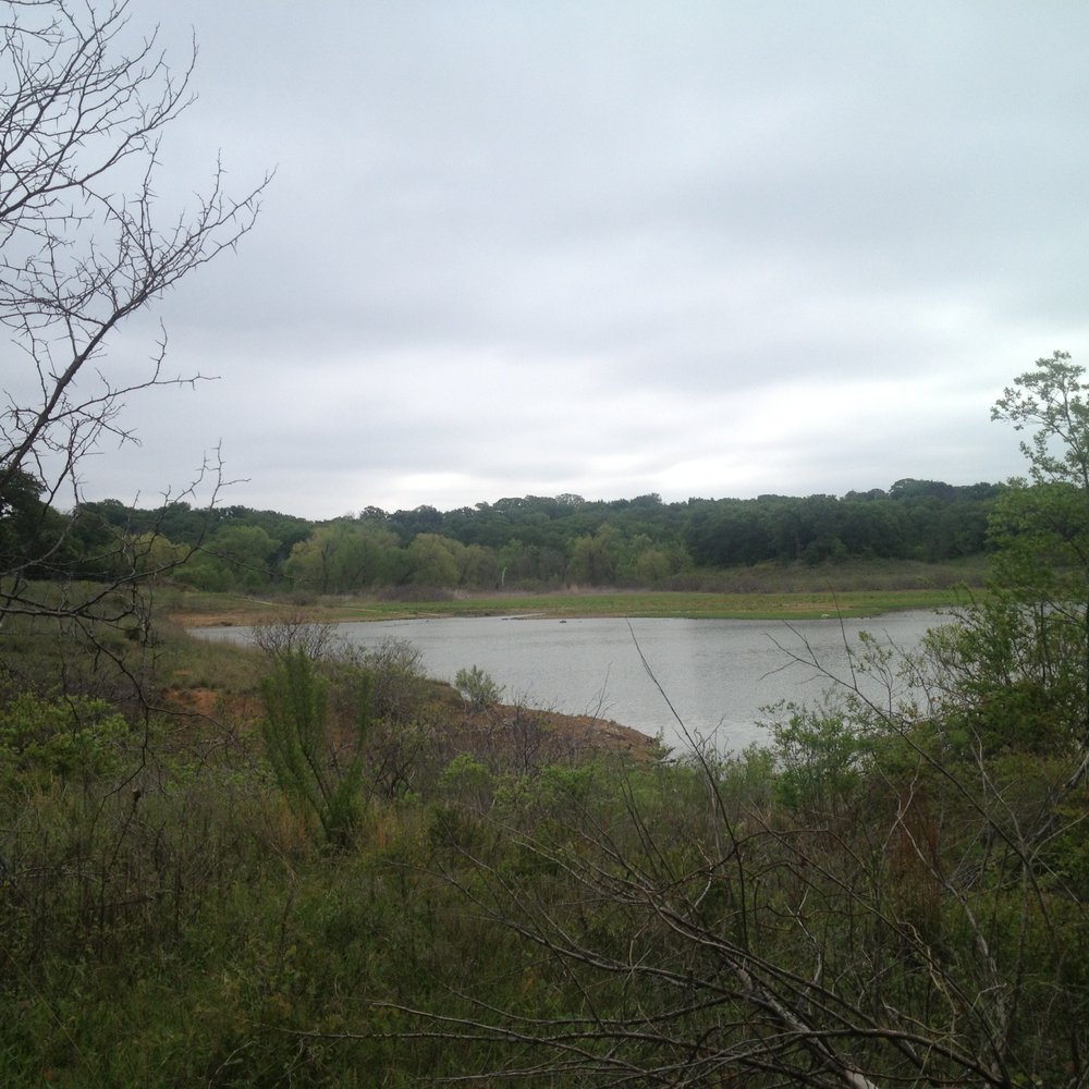
This is is a great spot of hiking around Flower Mound/Grapevine Lake. I grew up in the area, but I never explored the trails until today. It's a great spot to check out if you haven't been. I went on a Saturday morning in April. It was overcast, but there was no rain. All of that to say: there was barely any one around. (I did see some RVers, runners and bikers.) I parked at the Twin Coves Park. Note that you do have to pay $5 if you want to take your vehicle inside the park. So far, I've only had a chance to do a couple of the loops on the west side. The trail itself is great. There are some good views of the lake. The variations in elevation keep the the trail interesting, while not so much to make the trail more than a moderate level of difficulty. My concern about the trail is that it is not very well-marked. It seems like there are a lot of smaller trails that variously merge and diverge from the main trail (not that I could actually identify a "main" trail). I probably got turned around two or three times. (I don't think I'm directionally-challenged, but who knows.) I was able to find my way eventually, but again, I think the trails could be better marked. I scoured the web looking for some maps and info about the trail. Here's what I found: http://www.flower-mound.com/DocumentCenter/Home/View/381 http://www.swf-wc.usace.army.mil/grapevine/Recreation/Trails/Bike.asp http://www.nttr.org/html/northshore.htm http://alltrails.com/trail/us/texas/north-shore-trail Happy hiking! read more




11 years ago
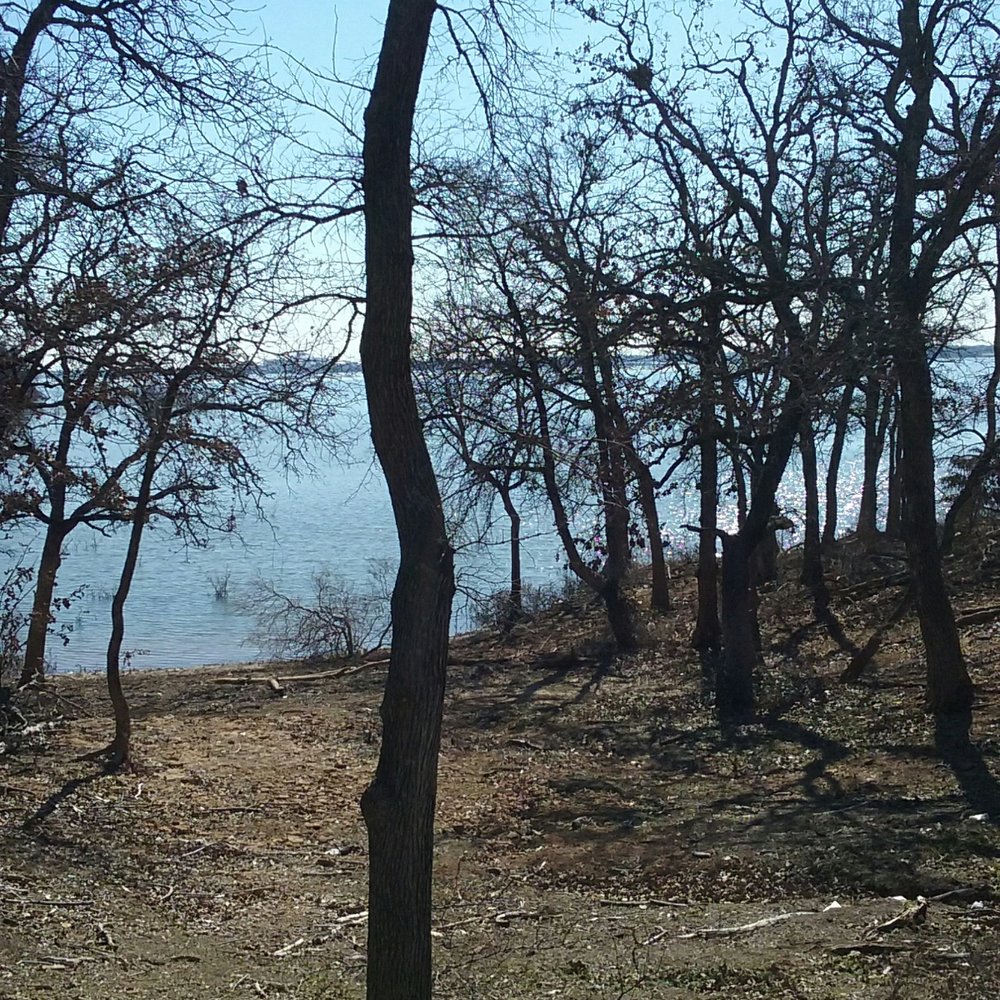
Nice intermediate trail for biking. Some of the area is still underwater. Lots of areas to explore. Looking forward to the lake going down to normal levels. It's officially closed. Why? I understand some trails dead end into water, but it's still got a few good trails for many hours of riding. My second time here, and have only seen it during its current condition. Plan on making it a regular spot. read more



8 years ago

13 years ago

8 years ago
11 years ago

11 years ago
11 years ago
This trail is absolutely amazing. I've biked here regularly for the past 3-4 years and I still enjoy it just as much as I did the first time. The trail is so long that it is nearly impossible to get bored of riding. I'll stick to 8-10 miles at a time. After a couple months, I'll switch starting points to ride a different part of the trail. DORBA does a great job updating their site daily to let you know if the trail is closed or not. read more

11 years ago

11 years ago
More info about Northshore Trail
Twin Coves Park Rd
Flower Mound, TX 75022
Directions
(817) 865-2600
Call Now
Hours
Outdoor Amenities
Ask the Community - Northshore Trail
Review Highlights - Northshore Trail






















Why does Yelp recommend reviews?
2 reviews that are not currently recommended
The reviews below are not factored into the business's overall star rating.

13 years ago
6 years ago
Northshore Trail - hiking - Updated August 2026
Best of Flower Mound
People found Northshore Trail by searching for…
Swimming Lakes in Flower Mound, TX
Hiking Trails in Flower Mound, TX
Watch Sunset in Flower Mound, TX
Walking Trails in Flower Mound, TX
Off Road Trails in Flower Mound, TX
Scenic Views in Flower Mound, TX
Running Trails in Flower Mound, TX
Sunset View in Flower Mound, TX
Scenic Overlook in Flower Mound, TX
Picnic Areas in Flower Mound, TX
Kids Friendly Beaches in Flower Mound, TX
Free Campgrounds in Flower Mound, TX
Parks With Lakes in Flower Mound, TX
National Parks in Flower Mound, TX
Free Things to Do in Flower Mound, TX
Kayak Store in Flower Mound, TX
Tent Camping in Flower Mound, TX
Fun Things to Do at Night in Flower Mound, TX
Secluded Spots in Flower Mound, TX
Trending Searches in Flower Mound, TX
Antiques near Northshore Trail
Barbershop For Men near Northshore Trail
Beautiful Views near Northshore Trail
Bike Shop near Northshore Trail
Bird Sanctuary near Northshore Trail
Cliff Jumping near Northshore Trail
Consignment Shops near Northshore Trail
Cruising Spots near Northshore Trail
Dog Friendly Things To Do near Northshore Trail
Dog Friendly Trails near Northshore Trail
Ear Piercing near Northshore Trail
Eyebrow Threading near Northshore Trail
Flower Fields near Northshore Trail
Free Picnic Areas near Northshore Trail
Hair Braiding near Northshore Trail
Kids Haircut near Northshore Trail
Lookout Points near Northshore Trail
Mini Golf near Northshore Trail
Nature Trails near Northshore Trail
Night Hike near Northshore Trail
Off Road Trails near Northshore Trail
Outdoor Activities near Northshore Trail
Pedicure near Northshore Trail
Permanent Makeup near Northshore Trail
Picnic Areas near Northshore Trail
Picnic Spots near Northshore Trail
Public Golf Courses near Northshore Trail
Public Pools near Northshore Trail
River Swimming near Northshore Trail
Rock Quarry near Northshore Trail
Scenic Night View near Northshore Trail
Scenic Overlook near Northshore Trail
Sunrise View near Northshore Trail
Swimming Holes near Northshore Trail
Trading Card Shops near Northshore Trail
Used Furniture Stores near Northshore Trail
Watch Sunset near Northshore Trail
Browse Nearby
BEST of Flower Mound, Texas Coffee near Northshore Trail
BEST of Flower Mound, Texas Restaurants near Northshore Trail
BEST of Flower Mound, Texas Things to Do near Northshore Trail
BEST of Flower Mound, Texas Walking Trails near Northshore Trail
BEST of Flower Mound, Texas Parks near Northshore Trail
BEST of Flower Mound, Texas Breakfast near Northshore Trail
BEST of Flower Mound, Texas Campgrounds near Northshore Trail
Browse Brands
Related Searches in Flower Mound, TX
Affordable Bike Repair Services in Flower Mound, Texas
Affordable Bike Tune Up Services in Flower Mound, Texas
Affordable Cheap Bike Tune Up Services in Flower Mound, Texas
Affordable Kayak Rental Services in Flower Mound, Texas
Best Dirt Bike Riding Spots in Flower Mound, Texas
Best Dog Hiking Trails Around Flower Mound, Texas
Best Electric Bike Rental Services in Flower Mound, Texas
Best Fishing Locations and Guides in Flower Mound, Texas
Best Nature Trails for Hiking in Flower Mound, Texas
Best Places for Horseback Riding in Flower Mound, Texas
Best Sightseeing Experiences Available in Flower Mound, Texas
Check Out Off Road Trails in Flower Mound, Texas
Convenient Bike Sharing Programs in Flower Mound, Texas
Discover Dog Friendly Trails to Explore in Flower Mound, Texas
Discover Kid Friendly Hiking Trails in Flower Mound, Texas
Discover Popular Bike Tours in Flower Mound, Texas
Discover Popular Bike Trails in Flower Mound, Texas
Discover Scenic Bike Paths in Flower Mound, Texas
Discover Scenic Mountain Bike Trails Near Flower Mound, Texas
Discover Walking Parks in Flower Mound, Texas Near You
Discover a Hiking Trail in Flower Mound, Texas
Discover the Best Night Hike Trails in Flower Mound, Texas
Dog-Friendly Hikes With Dogs in Flower Mound, Texas
Enjoy Camping Adventures Around Flower Mound, Texas
Enjoy Exciting Mountain Biking Adventures in Flower Mound, Texas
Enjoy Hiking Adventures in Flower Mound, Texas
Enjoy Kayaking Adventures in Flower Mound, Texas
Enjoy Off Leash Dog Hikes in Flower Mound, Texas
Enjoy Scenic Dirt Bike Trails Around Flower Mound, Texas
Enjoy Scenic Places to Walk in Flower Mound, Texas
Enjoy Tent Camping Spots Around Flower Mound, Texas
Enjoy a Beautiful Waterfall Hike in Flower Mound, Texas
Enjoy the Best Tubing Experiences in Flower Mound, Texas
Enjoy the Best Walking Path in Flower Mound, Texas
Enjoy the Best Walking Trails in Flower Mound, Texas
Explore BMX Bike Shops Near Flower Mound, Texas
Explore Beautiful Parks and Green Spaces in Flower Mound, Texas
Explore Bike Rentals Throughout Flower Mound, Texas
Explore Easy Hikes Perfect for All in Flower Mound, Texas
Explore Electric Bikes Available in Flower Mound, Texas
Explore Fun Activities to Do in Flower Mound, Texas
Explore Popular Campgrounds Near Flower Mound, Texas
Explore Popular Scenic Overlook Points in Flower Mound, Texas
Explore Popular Scenic Views Near Flower Mound, Texas
Explore Top Dog Parks in Flower Mound, Texas Near You
Explore Top Water Parks in Flower Mound, Texas Today


