Cancel

    Open app

    Search

    Cheeseboro and Palo Comado Canyon

    4.4 (34 reviews)

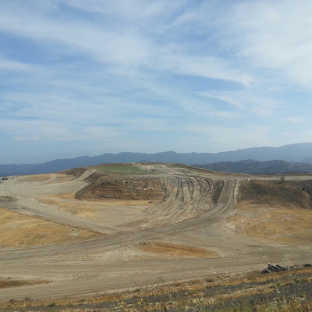
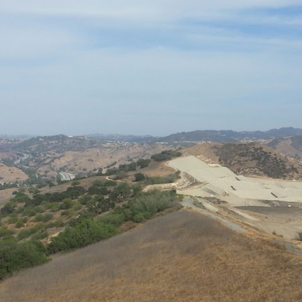
    Cheeseboro and Palo Comado Canyon Photos

    You might also consider

    More like Cheeseboro and Palo Comado Canyon

    Recommended Reviews - Cheeseboro and Palo Comado Canyon

    Your trust is our priority, so businesses can't pay to alter or remove their reviews. Learn more about reviews.
    Yelp app icon
    Browse more easily on the app
    Review Feed Illustration

    Reviews With Photos

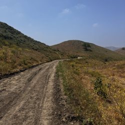
    The long road ahead.
    Janelle L.

    Wow, there are miles and miles of interconnected trails here! I really like the fact that all trails are labeled and have distances. We took the relatively flat Palo Comado and then turned right to another and continued another mile or so until we decided to turn around. There seemed to be more mountain bikers than hikers but the trails are wide enough to accommodate all modes of recreational transport be it by wheel or by foot. I do wish for trash cans at the trailheads. We brought our 3 dogs and had no where to throw the poopie bags. As we observed along the trail, everyone just seems to be on the same page regarding releasing the poop back into nature from whence it came. Luckily most of the animals on the trail are polite enough to take it to the side of the road.
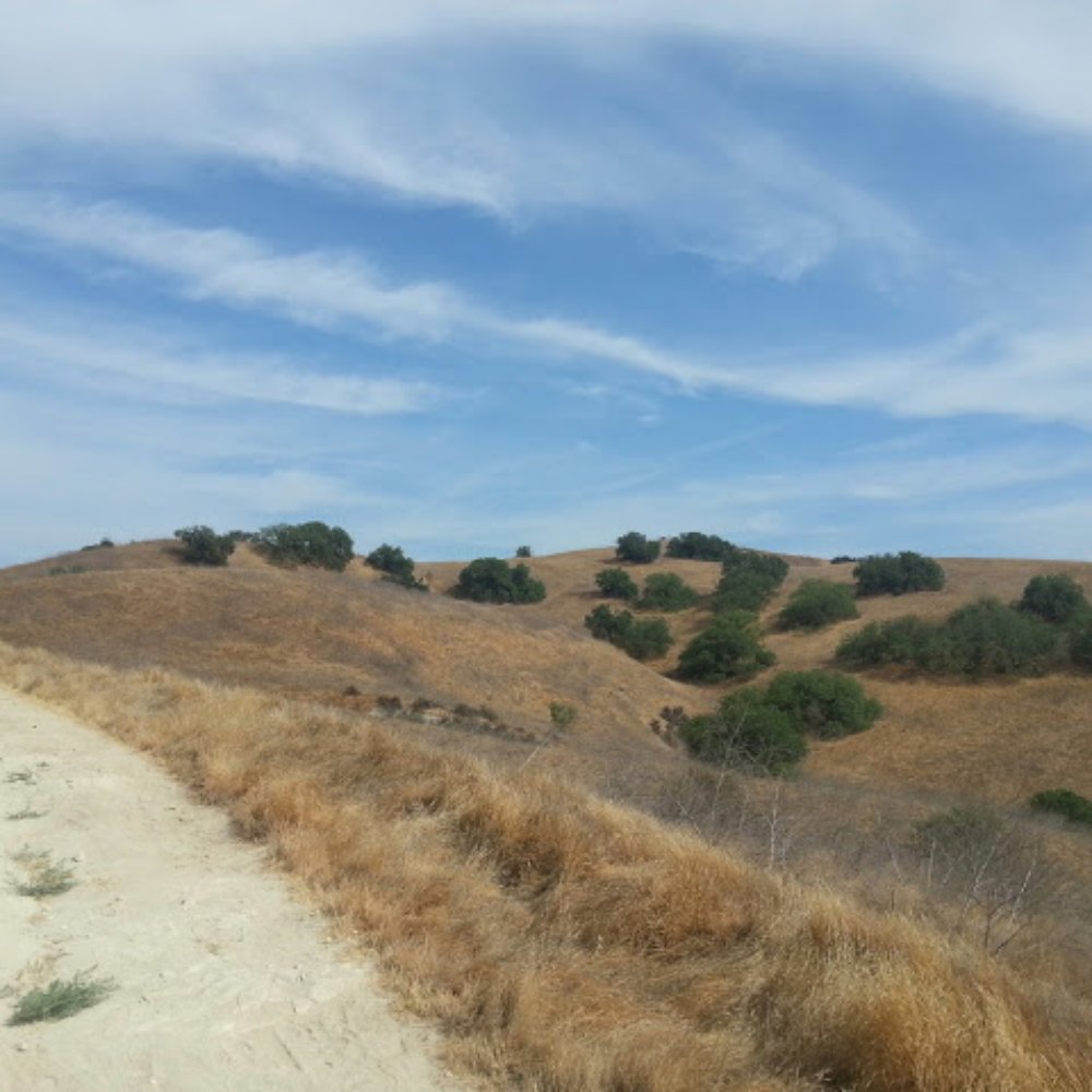
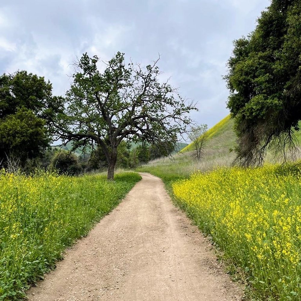
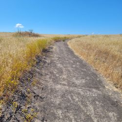
    A beautiful day for hiking..look at that clear blue sky
    Bevelin N.

    Its a nice easy hike/ run.its got some nice views . Definitely good for a beginner hiker and kids too.The hike is barely a challenge but its a nice quite hike/run to get away from the craziness or crazies in your life. If your looking for a challenge, this is not it.
    Volkan U.

    This is a great hiking place for a beginner :) and I am a beginner. We took to long route (for a beginner) and walked 2-3 hours. Maybe went uphill for 20-30 minutes but the rest was either downhill and flat. I really enjoyed it, it is beutiful here. You will see people mountainbiking or riding horses. The park map shows a picnic area, but it is very very small. I will go to this place again, and will take another route, I will recommend it everyone.

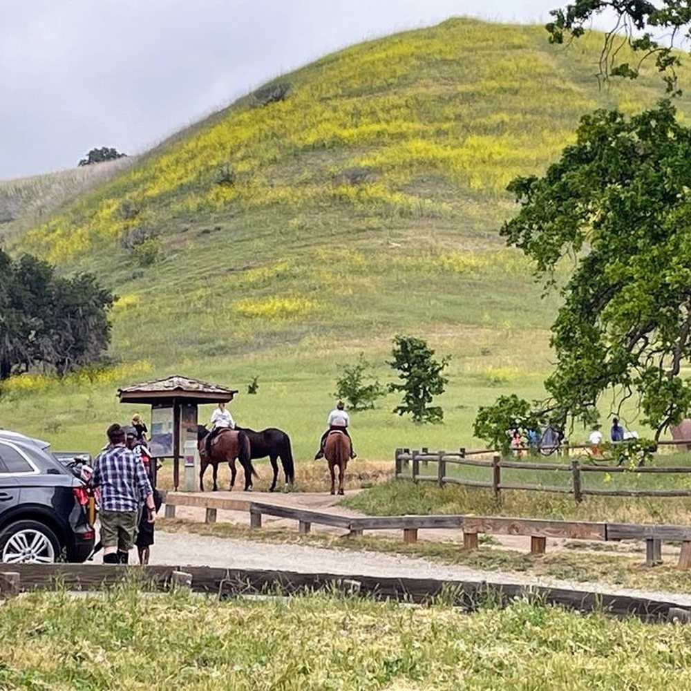
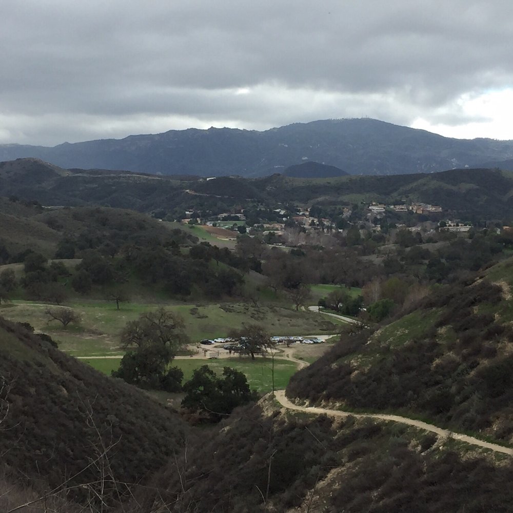
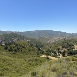
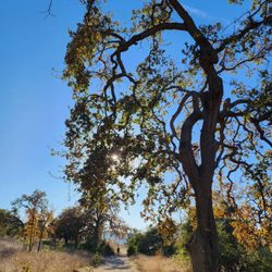
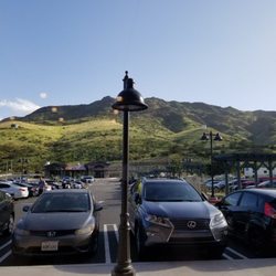
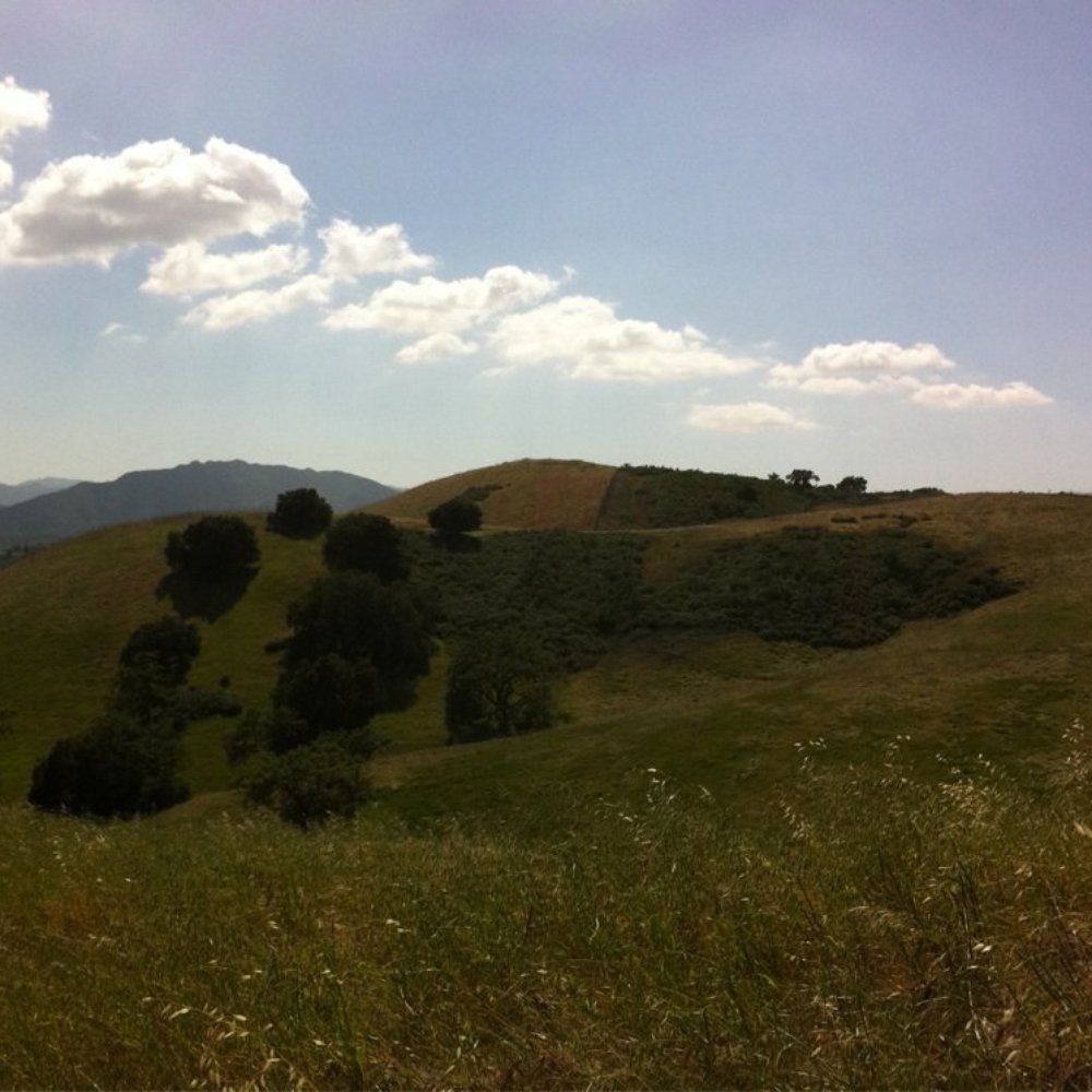
    Beautiful views on the way up to the trails !
    Kay J.

    I love these trails during the spring and the views are spectacular. The drive is beautiful too on the way up to the parking spots. Many nice houses, people riding horses, and also lots of bikers. Well, the bikers are everywhere. I once took my mountain bike and it was lots of fun. Most of the trails are wide and it doesn't feel tight even with all the hikers and bikers around. There are flat and steep trails so it's good for all level hikers and bikers. Best advice I can give is to go way before 10 am during the summer because it gets really hot on some days. When I used to go back in March and April, it was really nice and lots of big gorgeous trees with shades. Most of the land dries up during the summer though. This is a must go especially for beginner mountain bikers because it's totally doable with lots of flat land. Initially, I gave it 4 stars because there were too many horse droppings, but now I changed my mind and I think it deserves 5 stars. It's beautiful and has wide trails. Who cares about the droppings I guess, as long as you don't step on them. The horses are so beautiful when they pass by so it is allllllll worth it :)

    Beautiful hike! Lots of trail options.
    Sayoko C.

    So beautiful here! Lot of different trails to take. We did a family hike, but saw lot of bikers and horses.

    View from the top

    See all

    4 years ago

    Helpful 0
    Thanks 0
    Love this 0
    Oh no 0

    8 years ago

    Helpful 11
    Thanks 0
    Love this 7
    Oh no 0

    8 years ago

    Helpful 2
    Thanks 0
    Love this 0
    Oh no 0

    11 years ago

    Helpful 2
    Thanks 0
    Love this 3
    Oh no 0

    7 years ago

    Helpful 2
    Thanks 0
    Love this 2
    Oh no 0

    13 years ago

    Helpful 3
    Thanks 0
    Love this 1
    Oh no 0

    15 years ago

    Helpful 1
    Thanks 0
    Love this 1
    Oh no 0
    Photo of Kay J.
    495
    204
    1084

    10 years ago

    Helpful 3
    Thanks 0
    Love this 1
    Oh no 0

    15 years ago

    Helpful 3
    Thanks 0
    Love this 6
    Oh no 0

    8 years ago

    Helpful 0
    Thanks 0
    Love this 0
    Oh no 0

    19 years ago

    Helpful 5
    Thanks 0
    Love this 8
    Oh no 0

    15 years ago

    Helpful 5
    Thanks 0
    Love this 2
    Oh no 0
    Photo of Donna H.
    32
    58
    33

    8 years ago

    Helpful 0
    Thanks 0
    Love this 0
    Oh no 0

    13 years ago

    Helpful 5
    Thanks 0
    Love this 1
    Oh no 0
    Photo of Jesse K.
    46
    73
    100

    15 years ago

    Helpful 4
    Thanks 0
    Love this 1
    Oh no 0

    16 years ago

    Helpful 2
    Thanks 0
    Love this 1
    Oh no 0

    15 years ago

    Helpful 1
    Thanks 0
    Love this 1
    Oh no 0
    Photo of Samuel M.
    26
    52
    24

    10 years ago

    Helpful 0
    Thanks 0
    Love this 0
    Oh no 0

    18 years ago

    Helpful 4
    Thanks 0
    Love this 5
    Oh no 0

    12 years ago

    Helpful 0
    Thanks 0
    Love this 14
    Oh no 0

    19 years ago

    Helpful 3
    Thanks 0
    Love this 7
    Oh no 0
    Photo of Corey M.
    103
    93
    16

    14 years ago

    Helpful 2
    Thanks 0
    Love this 2
    Oh no 0
    Photo of John M.
    218
    347
    293

    18 years ago

    Helpful 2
    Thanks 0
    Love this 2
    Oh no 0
    Photo of Sean C.
    41
    18
    11

    16 years ago

    Helpful 2
    Thanks 0
    Love this 1
    Oh no 0

    15 years ago

    Helpful 3
    Thanks 0
    Love this 3
    Oh no 0

    15 years ago

    Helpful 1
    Thanks 0
    Love this 1
    Oh no 0

    11 years ago

    Helpful 2
    Thanks 0
    Love this 0
    Oh no 0

    16 years ago

    Helpful 1
    Thanks 0
    Love this 1
    Oh no 0

    12 years ago

    Helpful 1
    Thanks 0
    Love this 0
    Oh no 0

    13 years ago

    Helpful 0
    Thanks 0
    Love this 0
    Oh no 0
    Photo of Bob D.
    22
    276
    0

    11 years ago

    Helpful 0
    Thanks 0
    Love this 0
    Oh no 0
    Photo of Harry K.
    52
    136
    21

    10 years ago

    Helpful 0
    Thanks 0
    Love this 0
    Oh no 0

    12 years ago

    Helpful 0
    Thanks 0
    Love this 0
    Oh no 0
    Photo of Jim M.
    54
    170
    0

    10 years ago

    Love these trails for running or mountain biking. Lots of trail options, expansive area

    Helpful 0
    Thanks 0
    Love this 0
    Oh no 0

    Ask the Community - Cheeseboro and Palo Comado Canyon

    Review Highlights - Cheeseboro and Palo Comado Canyon

    It has great trail running options from 1 mile to 20+miles (starting in Old Agoura).

    Mentioned in 2 reviews

    Read more highlights

    You might also consider

    Verify this business for free

    People searched for Hiking 4,384 times last month within 15 miles of this business.

    Verify this business

    Las Virgenes Canyon - Bunny 7/13/25

    Las Virgenes Canyon

    4.6(8 reviews)
    1.8 mi

    This is actually a really nice trail. Yes, it's dry back there due to the weather not much rain…read more There are rattlesnakes. Yes you'll see some coyotes. They're not gonna bother you as far as the guy posting on her that there's gangs up in there in dead bodies, it's a bunch of crap. I ride my bike back there all the time I live right down the street from it at 5532 La Virginia Rd.. bring water with you and yes in the future you're gonna wanna keep your eyes open because now they've made it accessible for mountain lions. Otherwise it's a great hike always bring sunscreen and water with you and make sure your batteries good on your phone. You're all good to go.

    Going in September during a summer drought and after recent wildfires scorched the parkland, the…read moreburned or dried vegetation created an apocalyptically ugly hike. The most exciting thing was the hairy black tarantula that crossed the path. Many dirt roads run through this nature area that mostly stretch north-south with smaller east-west connector trails. Also with multiple trailheads, I chose an 8.6-mile loop with a 1000' elevation change that started at the north end of Las Virgenes Road off the 118 in Calabasas. 0.0 miles: Park on the street and walk north past the aptly named Sulphur Spring (don't know how the nearby apartments handle the smell). Follow this dirt road and stay left. 0.8 miles: Left to go up the Las Virgenes Connector which is not a road but a wide trail. 1.3 miles: Right to Cheeseboro Ridge Trail under electrical lines because this dirt road services a series of power towers. The trail has views of the rocky Baleen Wall on the left. 3.5 miles: Reach highest point with outcropping of boulders with decent view. 4.5 miles: Right at marked sign to go down Sheep Corral Trail - a single track trail not a road. 6.3 miles: Right to the mostly flat Bell Canyon Fire Road at the valley floor with occasional tree shade and many signs warning of the underground high pressure natural gas line. We were among the very few hikers but encountered plenty of mountain bikers. I didn't see anyone with dogs but there was plenty of poop on the trail.
    Photos
    Las Virgenes Canyon
    Las Virgenes Canyon
    Las Virgenes Canyon - Cool Caterpillar with some type of horn on its rear.

    See all

    Cool Caterpillar with some type of horn on its rear.

    Calabasas Hidden Stairs - On map: Calabasas Connector Trail.

    Calabasas Hidden Stairs

    4.8(98 reviews)
    3.9 mi

    Hey everyone it's the light skin dragon coming to you live and directly from today's adventures! I…read morewas feeling depressed about not seeing or speaking to my daughter, my cars engine is broken and will cost me 5000, and not being able to go to class this week because of my situation! I told myself I will take the bus and come to see Mother Nature. While I was on my fast in January I booked marked these stair here so god spoke to me today and so I went. I needed to see the green, get fresh air and just get back into my own zone because of the funk I've been in. Being here help me think of good times I've been to stairs, or on a trails I've been on. People I've gone on hikes with or even loved ones for their first time. The views got me out of my own mind and really gave me clarity of where I should be and where I'm heading. God reveals all and have me see things which I appreciate the good and the bad. And it really shows me I need to be where I need to be. I am willing to take more adventures soon with the bus and just humbling myself as a post I posted on social media about me remaining with an open heart to see what life has to offer now. Light skin dragon blasting off looking for another place to calm my nerves, and remain at peace which this area honestly brought and it was hard to find taking the bus and walking haha

    Do not follow the google map navigation. You have to go towards Audi dealership. Go past the…read moredealership until you are at the end of the street. I couldn't walk for the next two days. Definitely a good workout stairs!!

    Photos
    Calabasas Hidden Stairs
    Calabasas Hidden Stairs - Top

    Top

    Calabasas Hidden Stairs

    See all

    Upper Las Virgenes Canyon Open Space Preserve - Sunday 04.06.2025

    Upper Las Virgenes Canyon Open Space Preserve

    4.5(84 reviews)
    3.8 mi

    Our first time hiking the UPPER LAS VIRGENES CANYON OPEN SPACE PRESERVE and we were in search of…read morethe state flower: California Poppy!! We arrived at 6:00pm and drove right up into the dirt parking lot. Many other cars parked outside of the gate, along the curb on each side of Victory Blvd. The parking lot sign showed open from dawn to dusk, so we had at least an hour to explore before the 7:20pm sunset and potential tow. The weather was absolutely gorgeous for an evening hike!! Blue sky, cool breeze, rolling hills of green, and the sun setting made for the perfect golden hour!! After hiking down the Victory Trailhead and then up around the Ahmanson Ranch House Trail, we found the California Poppies! We also ran into a group of photographers so we didn't get a chance to explore as imagined before we arrived. However, we still enjoyed the sweeping views of an uninterrupted canyon. It was perfect! We saw many hiking with their dogs, a few benches, and various flowers. Be sure to wear appropriate hiking shoes as the trails can be uneven and rocky. I would love to return but have a feeling the summer heat will arrive sooner than later. Then the green will dry out and turn into fuel. I hope that lawmakers and fire prevention experts find ways to reduce the impact of wildfires in the state of California. This area is truly a magnificent escape from the LA city hustle and bustle.

    I just did my first Ultra 54k Race here on 4/26/25…read more I have been here several times and these trails change every single time. There was a fire here in January and that changed the trails. The trails open at 7:00 a.m. and the community pays for a security to make sure the area is safe. Parking: 5/5 You can street park and walk up or you can park inside and pay $3. Plenty and plenty of parking. Trails/Views: 5/5 You can take the many trails here and the views are beautiful you will see deer, bunnies and coyotes. There is a couple of little streams to cross. The trails are rolling so it can be flat, elevation and some downhills. You will love this place it looks like Ireland. This place will make you feel energized and relaxed at the same time. You can do any distance as strava has some of the maps for trails.

    Photos
    Upper Las Virgenes Canyon Open Space Preserve - California poppies! 04.06.2025

    California poppies! 04.06.2025

    Upper Las Virgenes Canyon Open Space Preserve - Trail

    Trail

    Upper Las Virgenes Canyon Open Space Preserve - Trail running jumping over water

    See all

    Trail running jumping over water

    Lasky Mesa in Upper Las Virgenes Canyon Open Space

    Lasky Mesa in Upper Las Virgenes Canyon Open Space

    4.3(3 reviews)
    2.8 mi

    I came to Lasky Mesa in search of a rare plant, which I was able to find thanks to good GPS…read morecoordinates. But I found so much more. It truly is a unique place, a mesa, high above the valley and flat as a plate. The trails are well maintained; it feels like being on a prairie due the vast expanse of invasive oats. Native oak trees are dotted here and there, as well as other native plants. I visited on an unusually cool Memorial Day weekend and folks were out in force, walking and jogging on a gorgeous day. I followed my GPS and entered the mesa via Crummer Road. The road lead to a gate and a sign marked "Authorized Vehicles Only", so I parked by the gate and hiked in. It's fun to learn about the history of the area and its involvement in so many movies. It was also great to learn that conservationists saved this area (and the rare plant I was looking for) from luxury home developers. Admission and parking are free. Highly recommended for a hike.

    There was a 15-year fight to prevent this area from being turned into a master planned community…read more Thankfully the preservationists won allowing us to enjoy this beautiful public parkland. There are rolling hills spotted with oak trees and flat areas with tall grasslands. You will need to combine a couple trails to form the 3.8-mile loop over that circles Lasky Mesa, combining the Mary Weisbrock Trail and East Las Virgenes Canyon Trail. The absolute best time to visit is during cooler months since there is absolutely no shade or a few days after it rains when the vegetation is vibrant green. The images online of this place when it is green is stunning. The day I visited it was extremely hot and everything was brown. This location is named after the silent movie director Jesse L. Lasky. A number of well-known movies have been filmed here including Gone with the Wind and, more recently, Django Unchained. There is a ranch home, Upper Las Virgenes Canyon Ranch, on the property that can be rented for weddings or other events. It was formerly known as the Ahmanson House. I like that the Ahmanson name has been replaced since it was the Ahmanson Land Company that sought to develop the land. Newer names, such as the Mary Weisbrock Loop Trail, were added in recognition of some of the people who helped to preserve the area. There is an abandoned bunk house on the property that is kind of fun to explore. I saw some concrete with imprinted cat paws. There is also a nearby helipad that was converted into a stone alter for an event the day I visited. I think that most people arrive at this site from Victory Trailhead at the west end of Victory Blvd. in West Hills. There is a shortcut if you are able to drive up Crummer Canyon Rd off of Mureau Rd. There is a locked gate that happened to be open the day I visited. You can park in the back of the old ranch house for easy access to the trails.

    Photos
    Lasky Mesa in Upper Las Virgenes Canyon Open Space
    Lasky Mesa in Upper Las Virgenes Canyon Open Space
    Lasky Mesa in Upper Las Virgenes Canyon Open Space

    See all

    Lady Face Mountain

    Lady Face Mountain

    4.0(12 reviews)
    2.8 mi

    This is short 2 mile hike. There is no restroom in the area and it's free parking. Just follow…read morethe ridge going up to Ladyface Mountain as this is a one way in and back out trail. In the beginning, there is a split, make sure to go left up the ridge. Not quite sure where the trail going right takes you. There is a bit of rock scrambling but I did not have any difficulties getting past it. As you near the top, there is a rock where the American Flag use to be located. This does require some climbing, so be careful. If you don't want to try that, hike past the rock and continue on the small trail to Ladyface Mountain. Both location offers 360 views. When done, hike back down. There is no shades on this hike, so pack accordingly to the weather and have fun.

    This unofficial trail is a short and exhilarating. The trail ascends a steep ridgeline that, from a…read moredistance, supposedly resembles a silhouette profile of a lady's face. If you didn't already know this information then I apologize in advance since, from this point forward, you will forever attempt to make-out the ridgeline facial image whenever you drive by. The trailhead can be a little hard to locate since it is unmarked. The best landmark is the sign pointing towards Silver Creek Rd. Park along the side of the road on the dirt. I recommend wearing really good hiking shoes since the steep grade, combined with the loose dirt, makes the trail real slippery especially as you head down the mountain. The 2-mile out and back trail can be somewhat intimidating, especially if you are afraid of heights. It's really not that dangerous. There are some areas where the trail becomes narrow along the steep hillside. I surprisingly saw a number of families with young kids and pets. I suspect they didn't make it all the way to the end. The jagged volcanic rock outcrops make you feel as if you are walking along the spine of the mountain. I made it 0.6-miles before I decided to turn back. It was a little too steep for my liking. There was an American flag was waving to me in the distance encouraging me to continue on but I had to decline. I read that the final portion involves some rock climbing. If you're feeling less adventurous, and if you are interested in more of lower altitude adventure, then you may want to try the lower trail located one mile down the road. It curves around the backside of Ladyface Mountain. It's also 2 miles out and back. You will see signage in front of a metal gate. After a short distance you'll come across a monument commemorating David Balch who once owned and later donated this property to the state for preservation. Bear left at the junction with the monument. The trail takes you down into a canyon and then back up a mountain to the rear area of Ladyface Mountain. There are interesting rock outcroppings covered with brightly colored lichen. It's fun to explore all of the different rock formations. You'll feel like you have been transported to another county. Chances are you will also be the only one there to enjoy it which is a bonus

    Photos
    Lady Face Mountain
    Lady Face Mountain - Springtime. April 2020

    Springtime. April 2020

    Lady Face Mountain - Springtime. April 2020

    See all

    Springtime. April 2020

    Cheeseboro and Palo Comado Canyon - hiking - Updated August 2026

    Loading...
    Loading...
    Loading...